
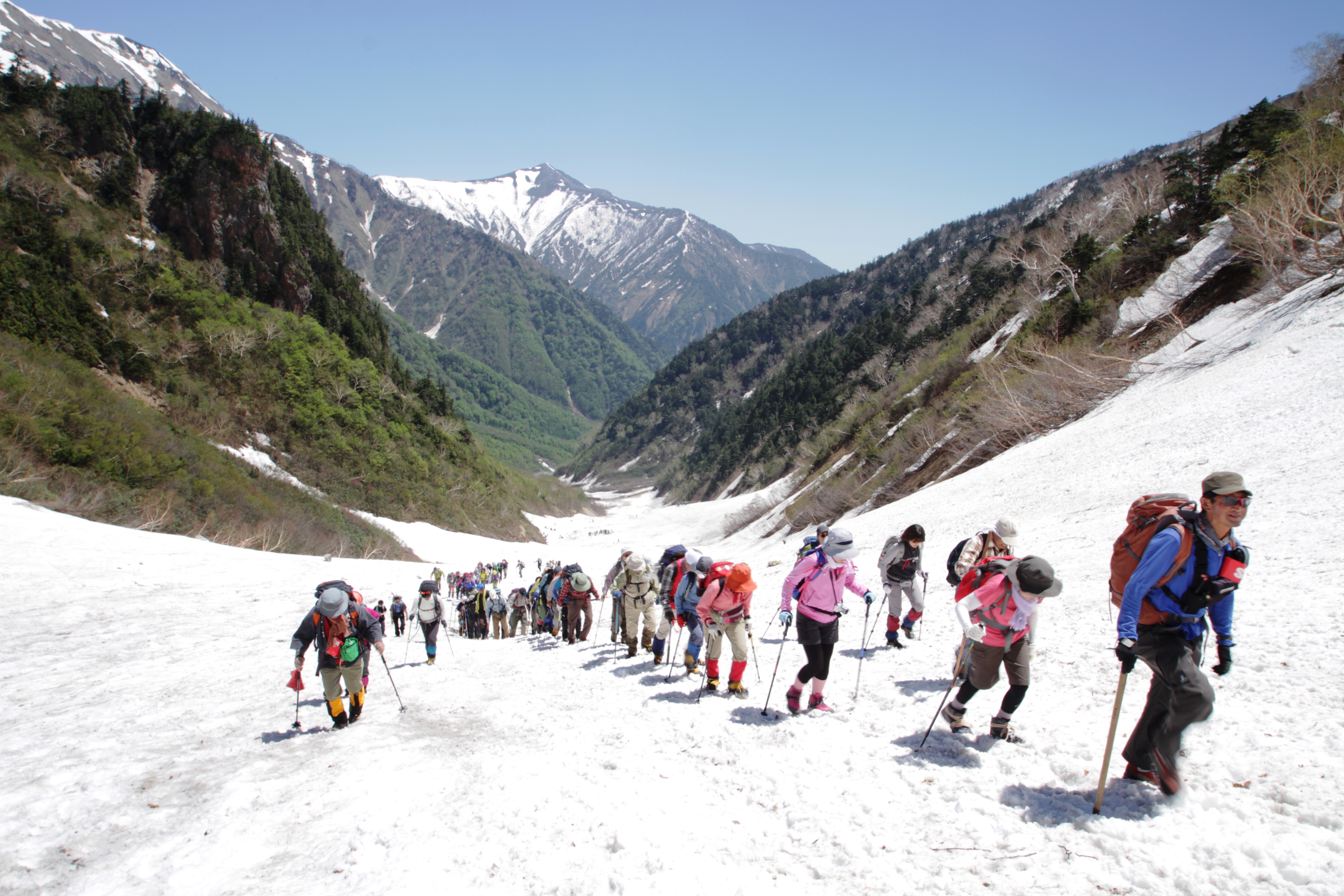
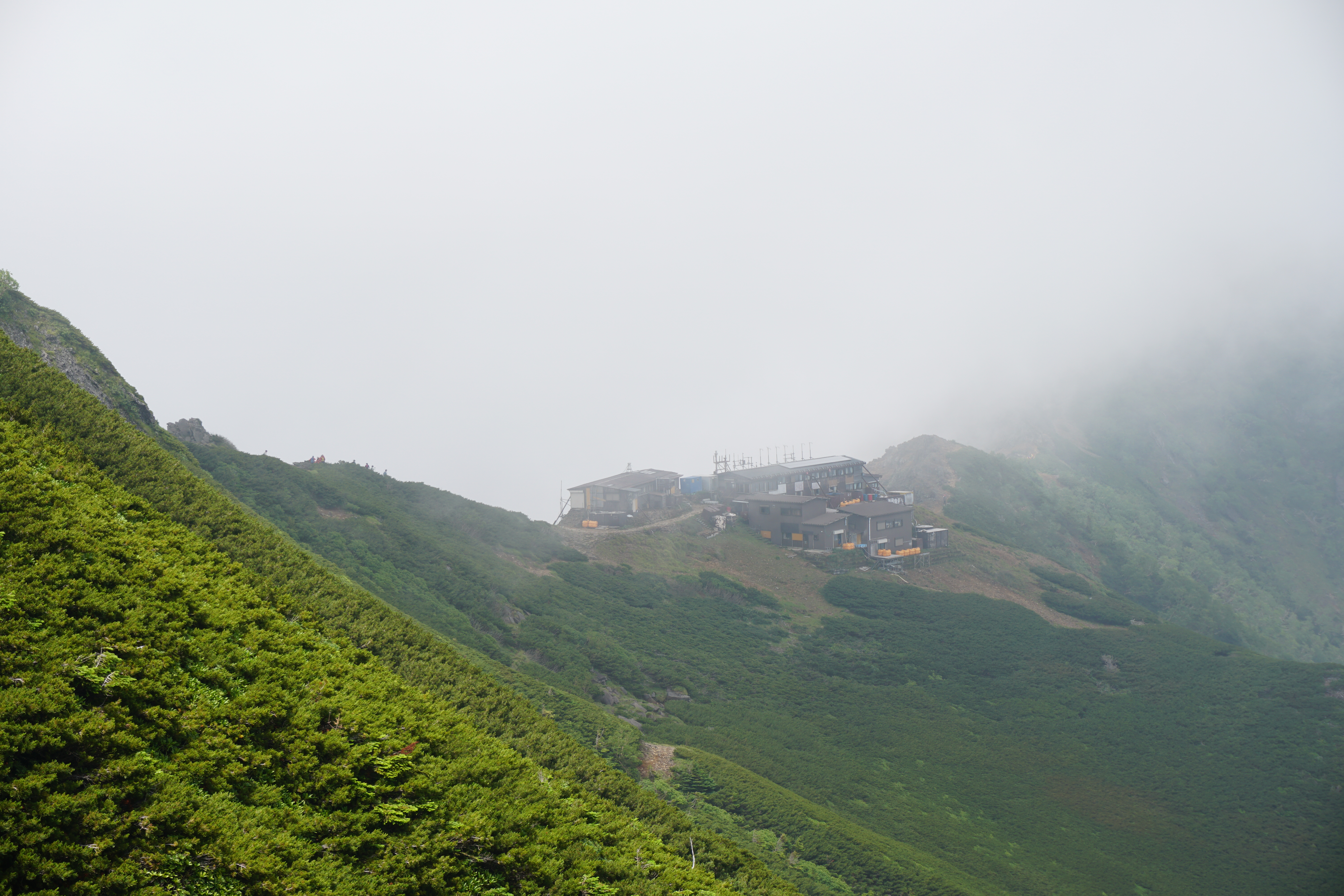
Let’s visit the Japan Alps for the very first time.
We’ll introduce you to some of the highest peaks of the Japan Alps that will give you an authentic hiking experience and allow you to brag about it to your friends, but these peaks can be climbed even as a family with children or as a casual hiking club venturing into the Japan Alps for the first time.
Physical strength level A・B
Difficulty level ⛰

1.Kiri-gamine
elevation:1,925m
Yatsu-gatake, Kiri-gamine, Utsukushi-gahara
Yashima Shitsugen Route
Difficulty level:★
Difference in elevation:About 398m
Walking hours:About 2 hours 25 minutes
View Route

2.Mt. Kisokoma-gatake
elevation:2,956m
Central Alps & Ontake mountains
Senjo-jiki Route
Difficulty level:★
Difference in elevation:About 448m
Walking hours:About 3 hours 35 minutes
View Route

3.Mt. Tateshina-yama
elevation:2,531m
Yatsu-gatake, Kiri-gamine, Utsukushi-gahara
7th Station Route
Difficulty level:★
Difference in elevation:About 537m
Walking hours:About 3 hours 45 minutes
View Route

4.Kiri-gamine
elevation:1,925m
Yatsu-gatake, Kiri-gamine, Utsukushi-gahara
Kuruma-yama Kata Route
Difficulty level:★
Difference in elevation:About 463m
Walking hours:About 4 hours 35 minutes
View Route

5.Mt. Tateshina-yama
elevation:2,531m
Yatsu-gatake, Kiri-gamine, Utsukushi-gahara
O-gawara Touge Route
Difficulty level:★
Difference in elevation:About 862m
Walking hours:About 6 hours 15 minutes
View Route

6.Ontake Mountains
elevation:3,067m
Central Alps & Ontake mountains
Ontake mountains Otaki-guchi Route
Difficulty level:★
Difference in elevation:About 901 mm
Walking hours:About 5 hours 35 minutes
View Route

7.Ontake Mountains
elevation:3,067m
Central Alps & Ontake mountains
Iimori Kogen Route
Difficulty level:★
Difference in elevation:About 1,029m
Walking hours:About 5 hours 30 minutes
View Route

8.Utsukushi-gahara
elevation:2,034m
Yatsu-gatake, Kiri-gamine, Utsukushi-gahara
Utsukushi-gahara Kogen Plateau Route
Difficulty level:★
Difference in elevation:About 410m
Walking hours:About 4 hours 35 minutes
View Route

9.Utsukushi-gahara
elevation:2,034m
Yatsu-gatake, Kiri-gamine, Utsukushi-gahara
Sanjiro Ranch Route
Difficulty level:★
Difference in elevation:About 715m
Walking hours:About 5 hours 45 minutes
View Route

10.Norikura Mountains
elevation:3,026m
Southern area of Northern Alps
Tatami-daira Route
Difficulty level:★
Difference in elevation:About 418m
Walking hours:About 2時間50分
View Route

11.Tateyama Mountains(Highest Peak Mt. O-nanji-yama)
elevation:3,015m
Northern area of Northern Alps
Ichi-nokoshi Route
Difficulty level:★
Difference in elevation:About 646m
Walking hours:About 4hours10minutes
View Route
As for our physical and technical levels, with the exception of Toyama prefecture, they are based on the mountain grading tables made public by each prefecture.
For further details, please go to the Nagano prefecture homepage “The 100 Famous Mountains Grading List (PDF)” or please inquire with each prefecture.

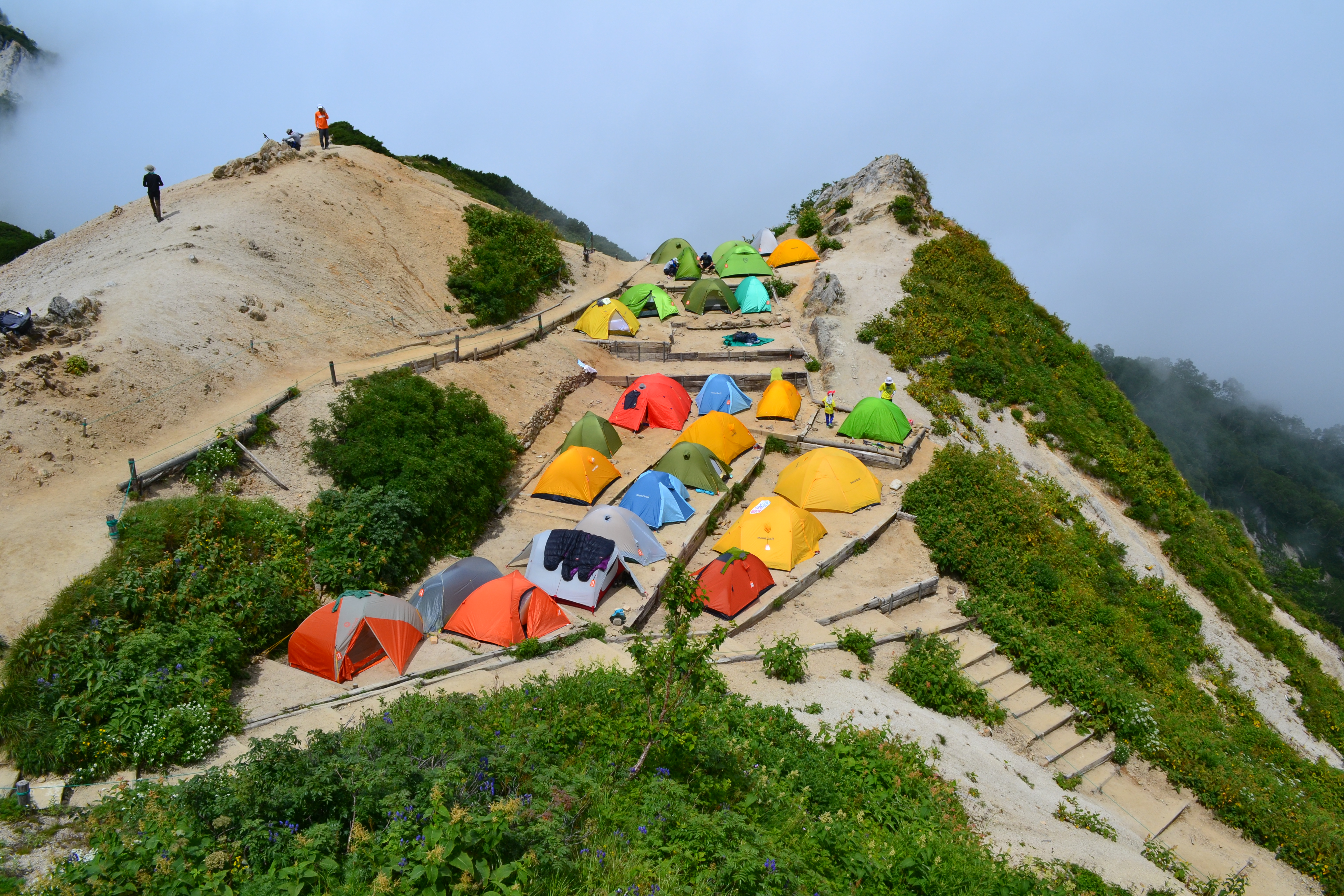
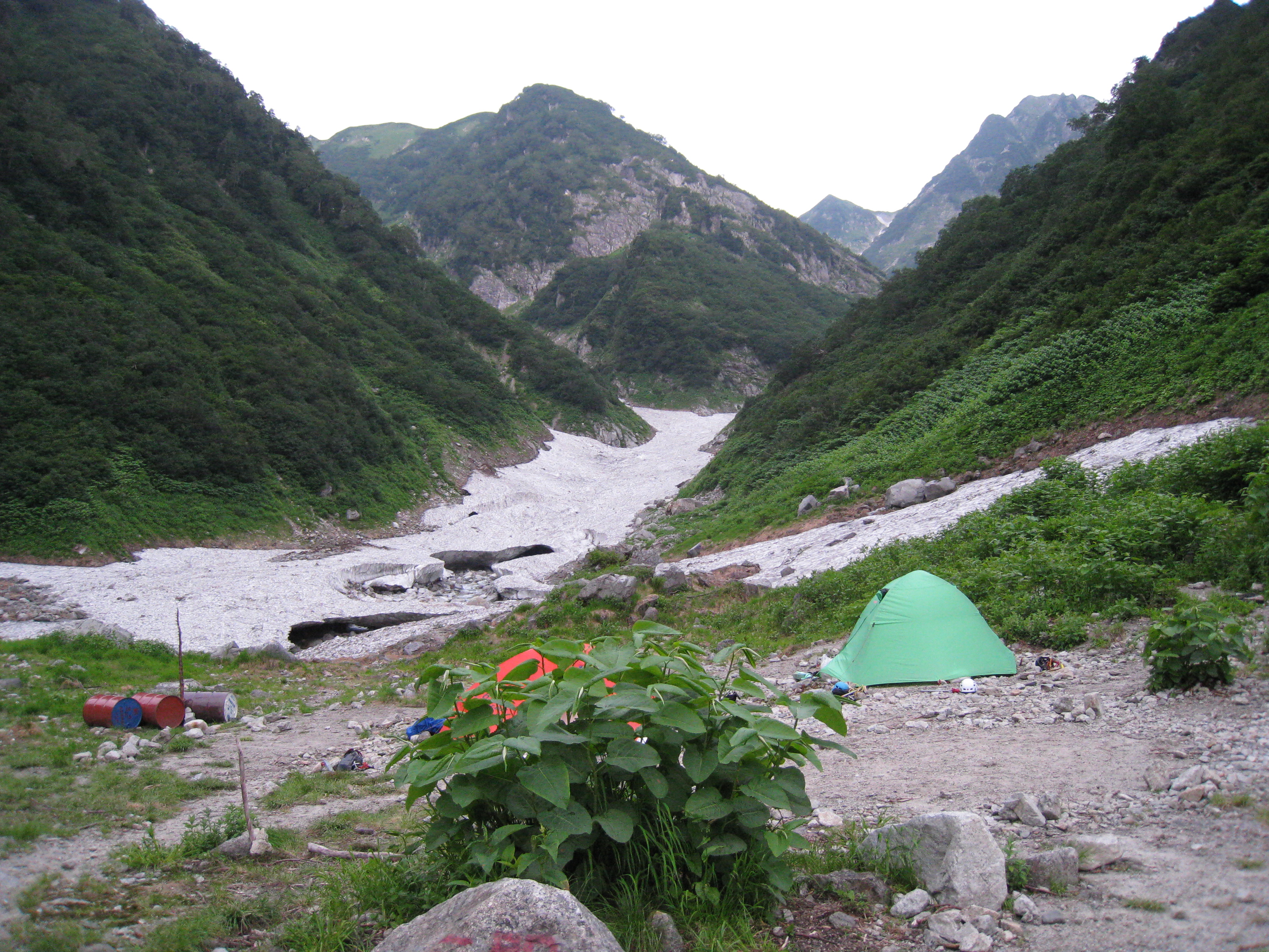
After you have gained some experience in other areas or tried a few experiential routes, let’s venture out to the mountains of the Japan Alps for an authentic hiking experience with trusted friends or a reliable partner. The first time you stay in a mountain hut is a really fun experience. Sometimes, if you are walking for more than five hours in a day, you will not be able to return the same day but may stay overnight in a mountain hut. The technical skills to climb a rocky area are also necessary.
Physical strength level B・C
Difficulty level ⛰⛰

1.Mt. Kohide-yama
elevation:1,981.9m
Central Alps & Ontake mountains
Shirakawa forest road Route
Difficulty level:★★
Difference in elevation:About 795 mm
Walking hours:About 4 hours
View Route

2.Mt. Kohide-yama
elevation:1,981.9m
Central Alps & Ontake mountains
Ni-no-tani Ascending – San-no-tani Descending Route
Difficulty level:★★
Difference in elevation:About 1,373mm
Walking hours:About 8 hours 50 minutes
View Route

3.Mt. Yake-dake
elevation:2,455m
Southern area of Northern Alps
Nakanoyu Route
Difficulty level:★★
Difference in elevation:About 1,029m
Walking hours:About 5 hours 55 minutes
View Route

4.Mt. Nagiso dake
elevation:1,677m
Central Alps & Ontake mountains
Araragi route
Difficulty level:★★
Difference in elevation:About 791.7~1,116m
Walking hours:About 5 hours 30 minutes
View Route
5.Mt. Nagiso dake
elevation:1,677m
Central Alps & Ontake mountains
Araragi Route (ascend)-Uenohara route (descend)
Difficulty level:★★
Difference in elevation:About 980 mm
Walking hours:About 7 hours 50 minutes
View Route

6.Mt. Ena-san
elevation:2,191m
Central Alps & Ontake mountains
Misaka Pass Route
Difficulty level:★★
Difference in elevation:About 980mm
Walking hours:About 8 hours 50 minutes
View Route

7.Mt. Ena-san
elevation:2,191m
Central Alps & Ontake mountains
Kuroi-sawa Route
Difficulty level:★★
Difference in elevation:About 1,011m
Walking hours:About 7 hours 10 minutes
View Route


9.Mt. Senjo-gatake
elevation:3,033m
Southern Alps
Kitazawa Touge Route to Senjo-gatake
Difficulty level:★★
Difference in elevation:About 1,224m
Walking hours:About 7 hours
View Route

10.Mt. Kaikoma-gatake
elevation:2,966m
Southern Alps
Kitazawa Touge Route to Kaikoma-gatake
Difficulty level:★★
Difference in elevation:About 1,216m
Walking hours:About 7 hours 10 minutes
View Route

11.Mt. Yake-dake
elevation:2,455m
Southern area of Northern Alps
Kamikochi Route
Difficulty level:★★
Difference in elevation:About 1,189m
Walking hours:About 6 hours 40 minutes
View Route

12.Mt. Ena-san
elevation:2,191m
Central Alps & Ontake mountains
Minekoshi Route
Difficulty level:★★
Difference in elevation:About 1,176m
Walking hours:About 7 hours 15 minutes
View Route
13.Mt. Tsubakuro-dake
elevation:2,763m
Southern area of Northern Alps
Nakabusa Onsen Route
Difficulty level:★★
Difference in elevation:About 1,427m
Walking hours:About 7時間10分
View Route

14.Mt. Senjo-gatake
elevation:3,033m
Southern Alps
Tankei Shindo Route
Difficulty level:★★
Difference in elevation:About 1,519m
Walking hours:About 9 hours 5 minutes
View Route

15.Mt. Jonen-dake
elevation:2,875m
Southern area of Northern Alps
Ichino-sawa Route
Difficulty level:★★
Difference in elevation:About 1,570m
Walking hours:About 8 hours 35 minutes
View Route
16.Mt. Yake-dake
elevation:2,455m
Southern area of Northern Alps
Nakao Onsen Route
Difficulty level:★★
Difference in elevation:About 1,693m
Walking hours:About 7 hours 45 minutes
View Route

17.Mt Gongendake / Mt. Amigasayama
elevation:2,715m
Yatsu-gatake, Kiri-gamine, Utsukushi-gahara
Gongendake-Route
Difficulty level:★★
Difference in elevation:About 1,357 mm
Walking hours:About 8 hours 10 minutes
View Route

18.Mt Gongendake / Mt. Amigasayama
elevation:2,715m
Yatsu-gatake, Kiri-gamine, Utsukushi-gahara
Mt. Amigasa and Mt. Nishi-dake route
Difficulty level:★★
Difference in elevation:About 1,328m
Walking hours:About 8 hours 10 minutes
View Route

19.Southern Yatsu-gatake Mountains(The highest peak Mt. Aka-dake)
elevation:2,899m
Yatsu-gatake, Kiri-gamine, Utsukushi-gahara
Gyoja-koya Route
Difficulty level:★★
Difference in elevation:About 1,502m
Walking hours:About 9 hours 10 minutes
View Route

20.Ontake Mountains
elevation:3,067m
Central Alps & Ontake mountains
Nigorigo Onsen Route
Difficulty level:★★
Difference in elevation:About 1,590m
Walking hours:About 9 hours 30 minutes
View Route

21.Mt. Tengu-dake
elevation:2,646m
Yatsu-gatake, Kiri-gamine, Utsukushi-gahara
Mt. Tengu-dake Honzawa Onsen Route
Difficulty level:★★
Difference in elevation:About 1,410mm
Walking hours:About 7 hours 55 minutes
View Route
22.Mt. Tengu-dake
elevation:2,646m
Yatsu-gatake, Kiri-gamine, Utsukushi-gahara
Mt. Tengu-dake Karasawa-kousen Route
Difficulty level:★★
Difference in elevation:About 932mm
Walking hours:About 5 hours 40 minutes
View Route

23.Kita-Yatsu-gatake Traverse、Mt.Tengu-dake
elevation:2,899m
Yatsu-gatake, Kiri-gamine, Utsukushi-gahara
Kita-yatsu-Tateshina Route
Difficulty level:★★
Difference in elevation:About 1.074 mm
Walking hours:About 9 hours 5 minutes
View Route

24.Karamatsu-dake
elevation:2,695m
Northern area of Northern Alps
Happo-o’ne Route
Difficulty level:★★
Difference in elevation:About 1,059.6mm
Walking hours:About 7 hours 35 minutes
View Route

25.Mt. Nyukasa-yama / Hokkkemichi
elevation:1,955m
Southern Alps
Hiking route of Mt. Nyukasa-yama
Difficulty level:★★
Difference in elevation:About 708mm
Walking hours:About 4 hours 45 minutes
View Route

26.Mt. Kyo-gatake
elevation:2296.4m
Central Alps & Ontake mountains
Gonbee-Toge Pass Route
Difficulty level:★★
Difference in elevation:About 1,169 mm
Walking hours:About 6 hours 50 minutes
View Route

27.Norikura Mountains
elevation:3,026m
Southern area of Northern Alps
Norikura Kogen Route
Difficulty level:★★
Difference in elevation:About 1,530m
Walking hours:About 6 hours 45 min
View Route

28.Mt. Cho-gatake
elevation:2,677m
Southern area of Northern Alps
Cho-gatake – Kamikochi Route / Cho-gatake – Nabekanmuri-yama Route
Difficulty level:★★★
Difference in elevation:About 2,124m
Walking hours:About 13 hours 10 minutes
View Route

29.Tateyama Mountains(Highest Peak Mt. O-nanji-yama)
elevation:3,015m
Northern area of Northern Alps
Murodo loop Route
Difficulty level:★★
Difference in elevation:About 1,340m
Walking hours:About 8 hours
View Route
30.Mt. Kohide-yama
elevation:1,981.9m
Central Alps & Ontake mountains
Mt. Kohide-yama
Difficulty level:★
Difference in elevation:About m
Walking hours:About
View Route
As for our physical and technical levels, with the exception of Toyama prefecture, they are based on the mountain grading tables made public by each prefecture.
For further details, please go to the Nagano prefecture homepage “The 100 Famous Mountains Grading List (PDF)” or please inquire with each prefecture.

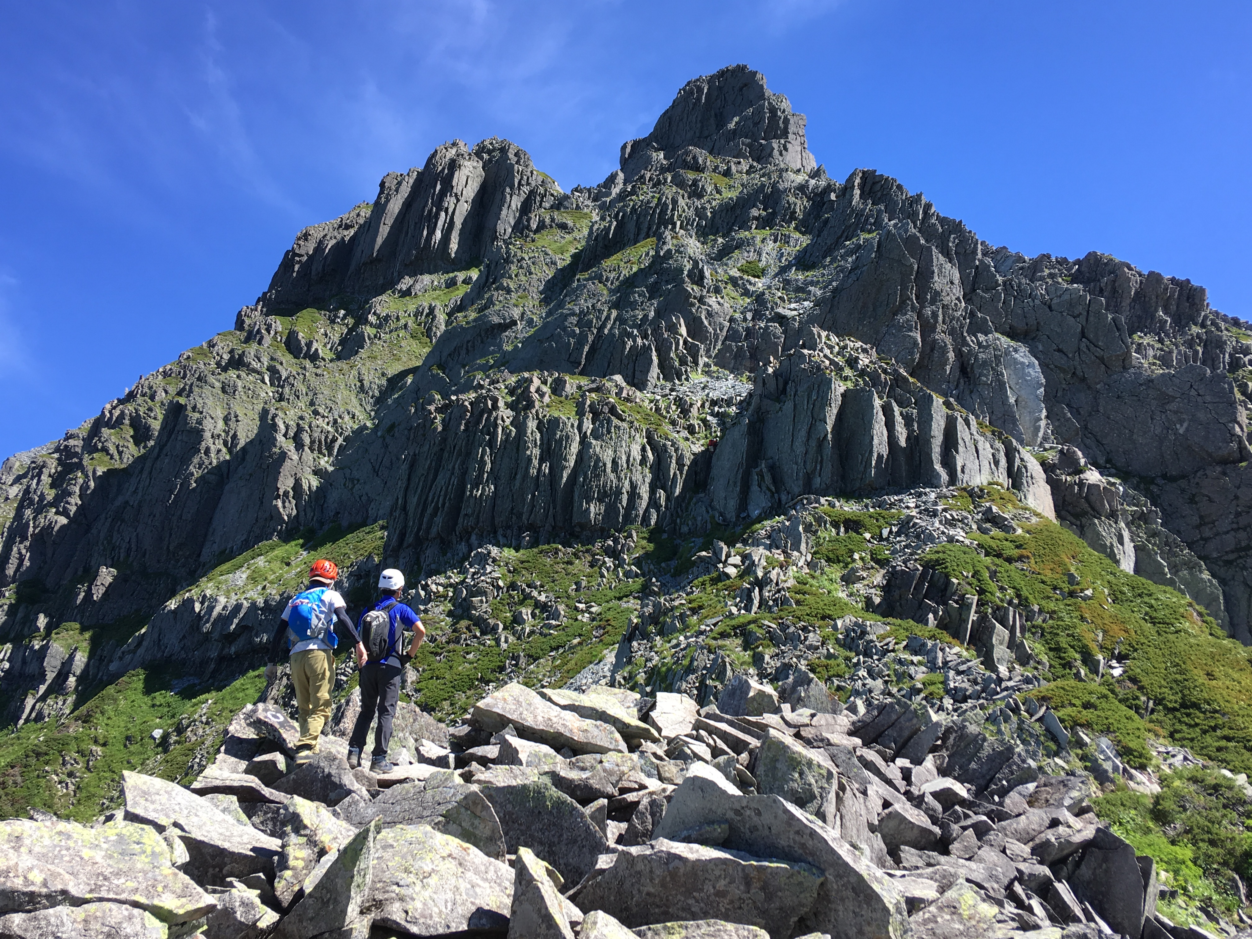
Once you master the beginner routes, let’s try taking on the challenge of Japan Alps routes that will allow you to relish the experience a little more. As a general rule, the hikes are at least two days and one night and require more than 10 hours of walking. There are more rocky areas, and the ability to make decisions based on your climbing skills and experience may be needed in some cases. These routes feature snowy gorges and rocky stretches, so carrying a helmet is recommended.
Physical strength level C・D
Difficulty level ⛰⛰⛰

1.Mt. Kosumo-yama/Sengai-rei/Mt. Minami-koma-gatake
elevation:2,841m
Central Alps & Ontake mountains
Kosumo-Minamikoma Circuit Route
Difficulty level:★★★
Difference in elevation:About 2,800mm
Walking hours:About 16時間30分
View Route

2.Mt. Shirouma-dake(Hakuba-dake)
elevation:2,932m
Northern area of Northern Alps
Renge Onsen Route
Difficulty level:★★★
Difference in elevation:About 1,696m
Walking hours:About 10 hours 15 minutes
View Route

3.Mt. Shirouma-dake(Hakuba-dake)
elevation:2,932m
Northern area of Northern Alps
Daisekkei (Hakuba Snowy Gorge Climbing) Route
Difficulty level:★★★
Difference in elevation:About 1,696m
Walking hours:About 11 hours 30 minutes
View Route

4.Mt. Shirouma-dake(Hakuba-dake)
elevation:2,932m
Northern area of Northern Alps
Hakuba Oike Route
Difficulty level:★★★
Difference in elevation:About 1,379m
Walking hours:About 10 hours 35 minutes
View Route

5.Mt. Nishi-hotaka-dake
elevation:2,909 m
Southern area of Northern Alps
Nishi-hotaka-dake Kamikochi Route
Difficulty level:★★★
Difference in elevation:About 1,474mm
Walking hours:About 12 hours 25 minutes
View Route
6.Mt. Nishi-hotaka-dake
elevation:2,909 m
Southern area of Northern Alps
Nishi-hotaka-dake Ropeway Route
Difficulty level:★★★
Difference in elevation:About 870m
Walking hours:About 8 hours
View Route

7.Mt. Kita-dake
elevation:3,192m
Southern Alps
Shirane-oike-koya Route
Difficulty level:★★★
Difference in elevation:About 1,758m
Walking hours:About 10 hours 45 minutes
View Route

8.Hotaka Mountains (Highest peak Mt. Oku-hotaka-dake)
elevation:3,190m
Southern area of Northern Alps
Hida Route※This is a route with many dangers. Avoid this route if you are a first timer.
Difficulty level:★★★
Difference in elevation:About 2,313m
Walking hours:About 9 hours
View Route

9.Mt. Utsugi-dake
elevation:2,864m
Central Alps & Ontake mountains
Komagane Kogen Route
Difficulty level:★★★
Difference in elevation:About 1,670m
Walking hours:About 13 hours 10 minutes
View Route

10.Kita-Yatsu-gatake Traverse、Mt.Tengu-dake
elevation:2,899m
Yatsu-gatake, Kiri-gamine, Utsukushi-gahara
Kita-Yatsu-gatake Traverse Route
Difficulty level:★★★
Difference in elevation:About 1,496m
Walking hours:About 14 hours
View Route
11.Mt. Kashima-yari-gatake
elevation:2,889m
Northern area of Northern Alps
Akaiwa o’ne Route
Difficulty level:★★★
Difference in elevation:About 1,460m
Walking hours:About 15 hours 30 minutes
View Route
12.Southern Yatsu-gatake Mountains(The highest peak Mt. Aka-dake)
elevation:2,899m
Yatsu-gatake, Kiri-gamine, Utsukushi-gahara
Minami-yatsu-gatake Traverse Route
Difficulty level:★★★
Difference in elevation:About 1,913m
Walking hours:About 11 hours 40 minutes
View Route

13.Ontake Mountains
elevation:3,067m
Central Alps & Ontake mountains
Kaida Kogen Route
Difficulty level:★★★
Difference in elevation:About 1,813m
Walking hours:About 13 hours 5 minutes
View Route

14.Mt. Goryu-dake
elevation:2,814m
Northern area of Northern Alps
Karamatsu-dake Route
Difficulty level:★★★
Difference in elevation:About 1,975m
Walking hours:About 12 hours 50 minutes
View Route

15.Mt. Yakushi-dake
elevation:2,926m
Northern area of Northern Alps
Oritate – Taro-daira Route
Difficulty level:★★★
Difference in elevation:About 1,701m
Walking hours:About 13 hours 40 minutes
View Route

16.Houo Three Mountains
elevation:2,840m
Southern Alps
Yashajin Touge Route
Difficulty level:★★★
Difference in elevation:About 2,068m
Walking hours:About 12 hours 25 minutes
View Route

17.Mt. Kasumizawa-dake
elevation:2,646m
Southern area of Northern Alps
Kamikochi Route
Difficulty level:★★★
Difference in elevation:About 1,902m
Walking hours:About 13 hours 30 minutes
View Route

18.Mt. Kisokoma-gatake
elevation:2,956m
Central Alps & Ontake mountains
Kisokoma Kogen Route
Difficulty level:★★★
Difference in elevation:About 1,918m
Walking hours:About 14 hours 5 minutes
View Route

19.Houo Three Mountains
elevation:2,840m
Southern Alps
Aoki Kosen Route
Difficulty level:★★★
Difference in elevation:About 2,157m
Walking hours:About 13 hours 5 minutes
View Route
20.Mt. Kisokoma-gatake
elevation:2,956m
Central Alps & Ontake mountains
Agematsu A Course
Difficulty level:★★★
Difference in elevation:About 2,307m
Walking hours:About 11時間55分
View Route

21.Mt. Jonen-dake
elevation:2,875m
Southern area of Northern Alps
Cho-gatake Route
Difficulty level:★★★
Difference in elevation:About 2,124m
Walking hours:About 15 hours 15 minutes
View Route

22.Mt. Utsugi-dake
elevation:2,864m
Central Alps & Ontake mountains
Hinokio-dake Traverse Route
Difficulty level:★★★
Difference in elevation:About 1,584m
Walking hours:About 18 hours 5 minutes
View Route

23.Mt. Kasa-gatake
elevation:2,987m
Southern area of Northern Alps
Kasa Shindo Route
Difficulty level:★★★
Difference in elevation:About 2,161m
Walking hours:About 15 hours 15 minutes
View Route
24.Mt. Kashima-yari-gatake
elevation:2,889m
Northern area of Northern Alps
Kashiwa-bara shindo Route
Difficulty level:★★★
Difference in elevation:About 2,027m
Walking hours:About 16 hours 35 minutes
View Route
25.Norikura Mountains
elevation:3,026m
Southern area of Northern Alps
Hirayu Onsen route
Difficulty level:★★★
Difference in elevation:About 2,994m
Walking hours:About 9 hours 15 minutes
View Route
26.Harinoki-dake
elevation:2,820m
Northern area of Northern Alps
Lake Kurobe Route
Difficulty level:★★★
Difference in elevation:About 1792.2 mm
Walking hours:About 18 hours and 15 minutes
View Route
27.Harinoki-dake
elevation:2,820m
Northern area of Northern Alps
Ougisawa Roundabout Route
Difficulty level:★★★
Difference in elevation:About 2,541 m
Walking hours:About 15 hours 45 minutes
View Route
28.Abe-oku/Shichimen-san
elevation:2,013m
Southern Alps
Shichime-san Omote-sando Route
Difficulty level:★★★
Difference in elevation:About 1691.7m
Walking hours:About 9時間20分
準備中
29.Southern Alps Shin-Nanbu
elevation:2,068m
Southern Alps
Mt. Kuroboshi-dake Misakubo Route
Difficulty level:★★★
Difference in elevation:About 1,903m
Walking hours:About 13 hours 30 minutes
View Route

30.Abe-oku/Shichimen-san
elevation:2,013m
Southern Alps
Shichimen-san Omotesando Route
Difficulty level:★★★
Difference in elevation:About 1777.6m
Walking hours:About 9 hours 20 minutes
View Route

31.Mt. Shirouma-dake(Hakuba-dake)
elevation:2,932m
Northern area of Northern Alps
Hakuba Three mountains Roundabout Route
Difficulty level:★★★
Difference in elevation:About 2,330m
Walking hours:About 15 hours 50 minutes
View Route
As for our physical and technical levels, with the exception of Toyama prefecture, they are based on the mountain grading tables made public by each prefecture.
For further details, please go to the Nagano prefecture homepage “The 100 Famous Mountains Grading List (PDF)” or please inquire with each prefecture.

If you have climbed several of the peaks of the Japan Alps, then you should be ready to take some rougher routes. These are the routes that have been deemed difficult among the routes found on mountain climbing maps. They are challenging and require skills and physical strength.
Physical strength level D・E
Difficulty level ⛰⛰⛰⛰

1.Mt. Shirouma-dake(Hakuba-dake)
elevation:2,932m
Northern area of Northern Alps
Babadani Route from Shirouma-dake
Difficulty level:★★★★
Difference in elevation:About 2,375m
Walking hours:About 15 hours 25 minutes
View Route

2.Mt. Shirouma-dake(Hakuba-dake)
elevation:2,932m
Northern area of Northern Alps
Kaerazuno-ken Route
Difficulty level:★★★★
Difference in elevation:About 2,885m
Walking hours:About 18 hours 20 minutes
View Route
3.Mt. Utsugi-dake
elevation:2,864m
Central Alps & Ontake mountains
Central Alps Traverse Route
Difficulty level:★★★★
Difference in elevation:About 3,084m
Walking hours:About 17 hours 50 minutes
View Route
4.Mt. Senjo-gatake
elevation:3,033m
Southern Alps
Senjo-gatake Ura Route
Difficulty level:★★★★
Difference in elevation:About 2,547mm
Walking hours:About 16 hours 10 minutes
View Route
5.Hotaka Mountains (Highest peak Mt. Oku-hotaka-dake)
elevation:3,190m
Southern area of Northern Alps
Kita-hotaka-dake Karasawa Route
Difficulty level:★★★★
Difference in elevation:About 2,307m
Walking hours:About 16 hours and 35 minutes
View Route

6.Mt. Tsurugi-dake
elevation:2,999m
Northern area of Northern Alps
Bessan o’ne Route
Difficulty level:★★★★
Difference in elevation:About 1,266m
Walking hours:About 12 hours
View Route
7.Karamatsu-dake
elevation:2,695m
Northern area of Northern Alps
Baba-dani Route from Karasawa-dake
Difficulty level:★★★★
Difference in elevation:About 1,649mm
Walking hours:About 13 hours 20 minutes
View Route

8.Mt. Kaikoma-gatake
elevation:2,966m
Southern Alps
Kuroto-o’ne Route
Difficulty level:★★★★
Difference in elevation:About 2,528m
Walking hours:About 12 hours
View Route
9.Mt. Higashi-dake (Mt.Warusawa-dake)
elevation:3,141m
Southern Alps
Niken-koya Route
Difficulty level:★★★★
Difference in elevation:About 2,308.6m
Walking hours:About 14 hours 10 minutes
View Route
10.Southern Yatsu-gatake Mountains(The highest peak Mt. Aka-dake)
elevation:2,899m
Yatsu-gatake, Kiri-gamine, Utsukushi-gahara
Kenkai-o’ne Route
Difficulty level:★★★★
Difference in elevation:About 1,752m
Walking hours:About 12 hours 15 minutes
View Route
11.Mt. Tsurugi-dake
elevation:2,999m
Northern area of Northern Alps
Tsurugi-sawa – Suihei-hodo
Difficulty level:★★★★
Difference in elevation:About 796m
Walking hours:About 20 hours 35 minutes
View Route

12.Mt. Tsurugi-dake
elevation:2,999m
Northern area of Northern Alps
Hayatsuki o’ne Route
Difficulty level:★★★★
Difference in elevation:About 2,332m
Walking hours:About 15 hours 40 minutes
View Route

13.Mt. Akaishi-dake
elevation:3,121m
Southern Alps
Akaishi o’ne Route
Difficulty level:★★★★
Difference in elevation:About 2,571m
Walking hours:About 15 hours 5 minutes
View Route
14.Mt. Kita-dake
elevation:3,192m
Southern Alps
Norogawa Route
Difficulty level:★★★★
Difference in elevation:About 2,291.8m
Walking hours:About 13 hours 55 minutes
View Route
15.Hotaka Mountains (Highest peak Mt. Oku-hotaka-dake)
elevation:3,190m
Southern area of Northern Alps
Dakesawa Route
Difficulty level:★★★★
Difference in elevation:About 2,233m
Walking hours:About 16 hours
View Route

16.Mt. Shiomi-dake
elevation:3,052m
Southern Alps
Torikura Route
Difficulty level:★★★★
Difference in elevation:About 2,770m
Walking hours:About 14 hours
View Route

17.Mt. Yari-gatake
elevation:3,180m
Southern area of Northern Alps
Hida-sawa Route
Difficulty level:★★★★
Difference in elevation:About 2,355m
Walking hours:About 17 hours
View Route

18.Mt. Kasa-gatake
elevation:2,987m
Southern area of Northern Alps
Koike-shindo Route
Difficulty level:★★★★
Difference in elevation:About 2,562m
Walking hours:About 17 hours 5 minutes
View Route

19.Mt.Tekari-dake
elevation:2,591m
Southern Alps
Iroudo Route
Difficulty level:★★★★
Difference in elevation:About 2,681m
Walking hours:About 17 hours 45 minutes
View Route

20.Mt. Yari-gatake
elevation:3,180m
Southern area of Northern Alps
Yarisawa Route
Difficulty level:★★★★
Difference in elevation:About 2,122m
Walking hours:About 19 hours 20 minutes
View Route

21.Asahi-dake・Yukikura-dake
elevation:2,610m(Yukikura-dake)、2,417m(Asahi-dake)
Northern area of Northern Alps
Yukikura-dake – Asahi-dake Route
Difficulty level:★★★★
Difference in elevation:About 3,133m
Walking hours:About 21 hours 25 minutes
View Route

22.Mt. Yakushi-dake
elevation:2,926m
Northern area of Northern Alps
Goshiki-gahara Route
Difficulty level:★★★★
Difference in elevation:About 2,376m
Walking hours:About 20 hours 35 minutes
View Route
23.Mt. Tsurugi-dake
elevation:2,999m
Northern area of Northern Alps
Tsurugi – sawa Route
Difficulty level:★★★★
Difference in elevation:About 2,556m
Walking hours:About 21 hours and 5 minutes
View Route

24.Mt. Goryu-dake
elevation:2,814m
Northern area of Northern Alps
Hachimine kiretto V-shaped cut ridge Route from Kashima-yari-gatake
Difficulty level:★★★★
Difference in elevation:About 2,983m
Walking hours:About 10 hours 45 minutes
View Route

25.Mt. Hijiri-dake
elevation:3,013m
Southern Alps
Iroudo Route
Difficulty level:★★★★
Difference in elevation:About 3,335m
Walking hours:About 17 hours 50 minutes
View Route

26.Mt. Kita-dake
elevation:3,192m
Southern Alps
Sky Corridor Route
Difficulty level:★★★★
Difference in elevation:About 3,496m
Walking hours:About 20 hours 30 minutes
View Route
27.Mt. Aino-dake
elevation:3,190m
Southern Alps
Sky Corridor Route
Difficulty level:★★★★
Difference in elevation:About 3,496m
Walking hours:About 20 hours 30 minutes
View Route

28.Hotaka Mountains (Highest peak Mt. Oku-hotaka-dake)
elevation:3,190m
Southern area of Northern Alps
Karasawa Route
Difficulty level:★★★★
Difference in elevation:About 2,894m
Walking hours:About 21 hours and 50 minutes
View Route
29.Mt. Higashi-dake (Mt.Warusawa-dake)
elevation:3,141m
Southern Alps
Arakawa-dake Roundabout Route
Difficulty level:★★★★
Difference in elevation:About 3,359m
Walking hours:About 21 hours 5 minutes
View Route

30.Mt. Aino-dake
elevation:3,190m
Southern Alps
Narada Route
Difficulty level:★★★★
Difference in elevation:About 3,496m
Walking hours:About 21 hours 35 minutes
View Route

31.Mt. Suisho-dake
elevation:2,986m
Southern area of Northern Alps
Koike Shindo – Takase Dam Route
Difficulty level:★★★★
Difference in elevation:About 3,735m
Walking hours:About 19 hours 20 minutes
View Route

32.Tateyama Mountains(Highest Peak Mt. O-nanji-yama)
elevation:3,015m
Northern area of Northern Alps
Oku-dainichi-dake Route
Difficulty level:★★★★
Difference in elevation:About 3,076m
Walking hours:About 15 hours 35 minutes
View Route

33.Mt. Washiba-dake
elevation:2,924/2,986m
Southern area of Northern Alps
Koike Shindo – Takase Dam Route
Difficulty level:★★★★
Difference in elevation:About 3,735m
Walking hours:About 19 hours 20 minutes
View Route

34.Mt. Yari-gatake
elevation:3,180m
Southern area of Northern Alps
Nishi-kama o’ne Route
Difficulty level:★★★★
Difference in elevation:About 3,366m
Walking hours:About 23 hours 50 minutes
View Route

35.Mt.Tekari-dake
elevation:2,591m
Southern Alps
Mt. Chausu-dake Route
Difficulty level:★★★★
Difference in elevation:About 3,590m
Walking hours:About 25 hours and 25 minutes
View Route

36.Mt. Kurobe-goro-dake
elevation:2,897m
Northern area of Northern Alps
Northern Alps Diamond Route
Difficulty level:★★★★
Difference in elevation:About 3,972m
Walking hours:About 22 hours 55 minutes
View Route

37.Mt. Yari-gatake
elevation:3,180m
Southern area of Northern Alps
Omote Ginza Panorama Route
Difficulty level:★★★★
Difference in elevation:About 3,289m
Walking hours:About 24 hours 50 minutes
View Route

38.Mt. Washiba-dake
elevation:2,924/2,986m
Southern area of Northern Alps
Takama-gahara route
Difficulty level:★★★★
Difference in elevation:About 5,250m
Walking hours:About 17 hours 35 minutes
View Route

39.Mt. Akaishi-dake
elevation:3,121m
Southern Alps
Arakawa-dake Roundabout Route
Difficulty level:★
Difference in elevation:About m
Walking hours:About
View Route
As for our physical and technical levels, with the exception of Toyama prefecture, they are based on the mountain grading tables made public by each prefecture.
For further details, please go to the Nagano prefecture homepage “The 100 Famous Mountains Grading List (PDF)” or please inquire with each prefecture.

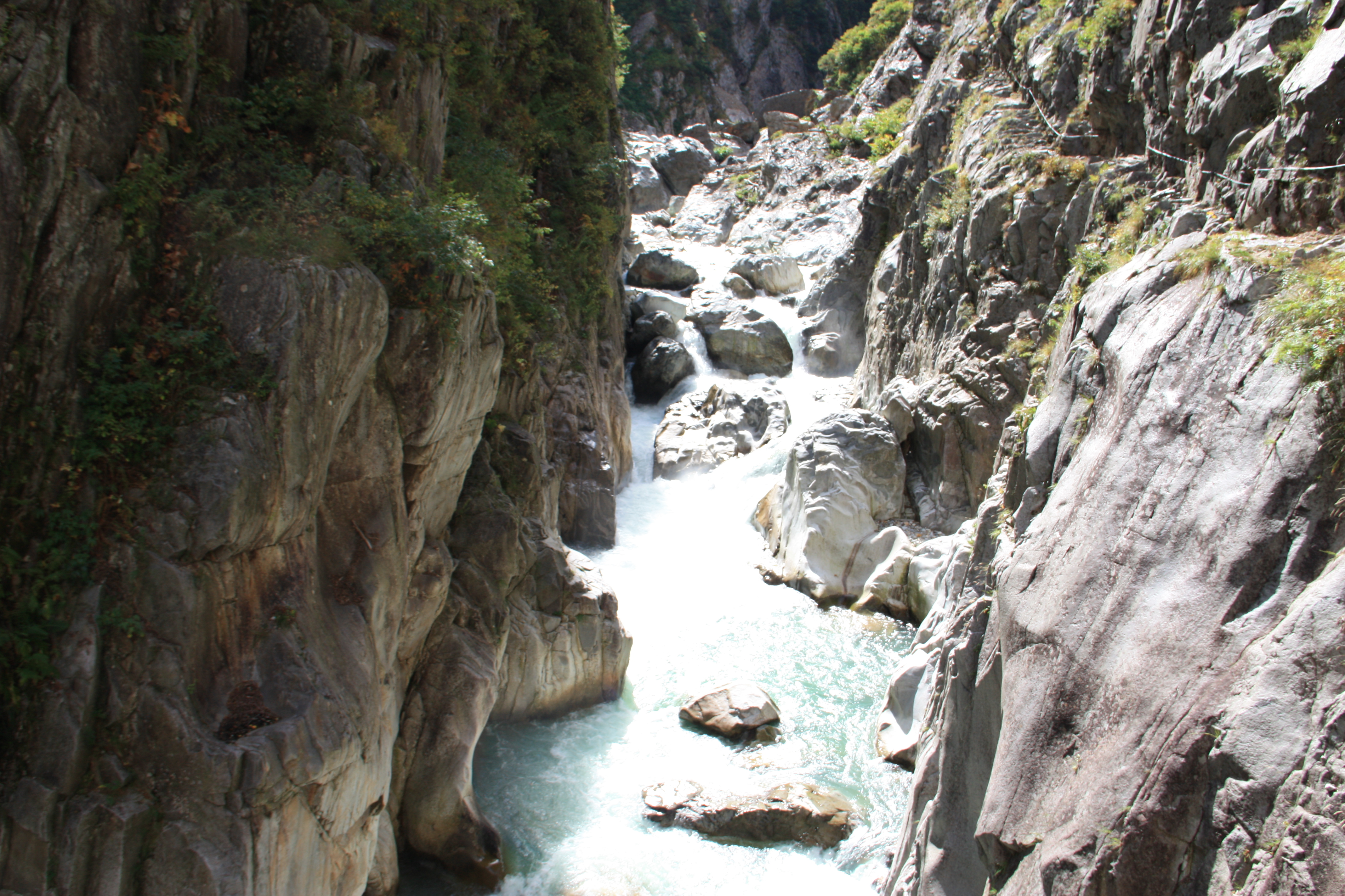
The Hasegawa Peak at Dai Kiretto, Juji Pass at Kurobe Gorge’s lower corridor, and Tsugami Shindo are examples of routes that are certainly not easy, but the more hiking experience you acquire, the more you find the desire grows to try your hand at these routes, even once. We have listed those routes from among the routes geared toward expert hikers that have long stretches of steep slopes or complex routes that require climbing skills and experience.
Physical strength level D・E
Difficulty level ⛰⛰⛰⛰⛰

1.Mt. Suisho-dake
elevation:2,986m
Southern area of Northern Alps
Ura Ginza Panorama Route
Difficulty level:★★★★★
Difference in elevation:About 4,614m
Walking hours:About 32 hours 45 minutes
View Route
2.Mt. Yari-gatake
elevation:3,180m
Southern area of Northern Alps
Dai-kiretto Route
Difficulty level:★★★★★
Difference in elevation:About 2,997(From Kami-kochi)m
Walking hours:About 24 hours 25 minutes
View Route
3.Kurobe Gorge
elevation:
Northern area of Northern Alps
Kurobe Gorge Shimono-roka Route
Difficulty level:★★★★★
Difference in elevation:About m
Walking hours:About 13 hours
View Route

4.Mt. Hijiri-dake
elevation:3,013m
Southern Alps
Akaishi-dake Roundabout Route
Difficulty level:★★★★★
Difference in elevation:About 4,100m
Walking hours:About 24 hours 45 minutes
View Route
5.Mt. Hijiri-dake
elevation:3,013m
Southern Alps
Chausu-dake – Hijiri-dake Route
Difficulty level:★★★★★
Difference in elevation:About 4,307m
Walking hours:About 28 hours 20 minutes
View Route
6.Mt. Kurobe-goro-dake
elevation:2,897m
Northern area of Northern Alps
Kumono-daira Roundabout Route
Difficulty level:★★★★★
Difference in elevation:About 4,230m
Walking hours:About 28 hours
View Route

7.Mt. Suisho-dake
elevation:2,986m
Southern area of Northern Alps
Kumono-daira Route
Difficulty level:★★★★★
Difference in elevation:About 4,079m
Walking hours:About 29 hours 35 minutes
View Route

8.Mt. Washiba-dake
elevation:2,924/2,986m
Southern area of Northern Alps
Oritate – Kumono-daira Route
Difficulty level:★★★★★
Difference in elevation:About 4,079m
Walking hours:About 29 hours 35 minutes
View Route

9.Asahi-dake・Yukikura-dake
elevation:2,610m(Yukikura-dake)、2,417m(Asahi-dake)
Northern area of Northern Alps
Tsugami Shindo New Trail Route
Difficulty level:★★★★★
Difference in elevation:About 3,961m
Walking hours:About 31 hours 25 minutes
View Route
10.Mt. Shirouma-dake(Hakuba-dake)
elevation:2,932m
Northern area of Northern Alps
Ushiro-tateyama Traverse Route
Difficulty level:★★★★★
Difference in elevation:About 4,835m
Walking hours:About 25 hours 35 minutes
View Route

11.Mt. Washiba-dake
elevation:2,924/2,986m
Southern area of Northern Alps
Ura Ginza Panorama Route
Difficulty level:★★★★★
Difference in elevation:About 4,614m
Walking hours:About 32 hours 45 minutes
View Route

12.Mt. Suisho-dake
elevation:2,986m
Southern area of Northern Alps
Ura Ginza – Yomiuri-shindo Route
Difficulty level:★★★★★
Difference in elevation:About 6,548m
Walking hours:About 36 hours 5 minutes
View Route
13.Mt. Shiomi-dake
elevation:3,052m
Southern Alps
South Alps Ura-ginza Route
Difficulty level:★★★★★
Difference in elevation:About 6,545.8m
Walking hours:About 45 hours 15 minutes
View Route
As for our physical and technical levels, with the exception of Toyama prefecture, they are based on the mountain grading tables made public by each prefecture.
For further details, please go to the Nagano prefecture homepage “The 100 Famous Mountains Grading List (PDF)” or please inquire with each prefecture.