Hida-sawa Route
Shin-hotaka Onsen ~ Shiradashi-sawa ~ Takitani-deai ~Yari-daira koya Mountain hut ~ Senjou Junction ~ Hida-nokkoshi ~ Mt. Yari-gatake ~ Hida-nokkoshi ~ Yari-daira koya Mountain lodge ~ Shiradashi-sawa ~ Shin-hotaka Onsen
Technical level: C
Physical strength level: 7
Difficulty level: ⛰️⛰️⛰️⛰️
The only route from Hida area to Mt. Yari-gatake
Less hikers choose to take this trail so you can enjoy a quiet and peaceful atmosphere even during high season.
●Hiking Data
Schedule: Two nights three days
Walking hours: 17 hours
(Up: 10 hours 5 minutes/Down: 6 hours 55 minutes)
Walking distance: 26.4 km
Difference in elevation: 2,355 m
Shin-hotaka Onsen

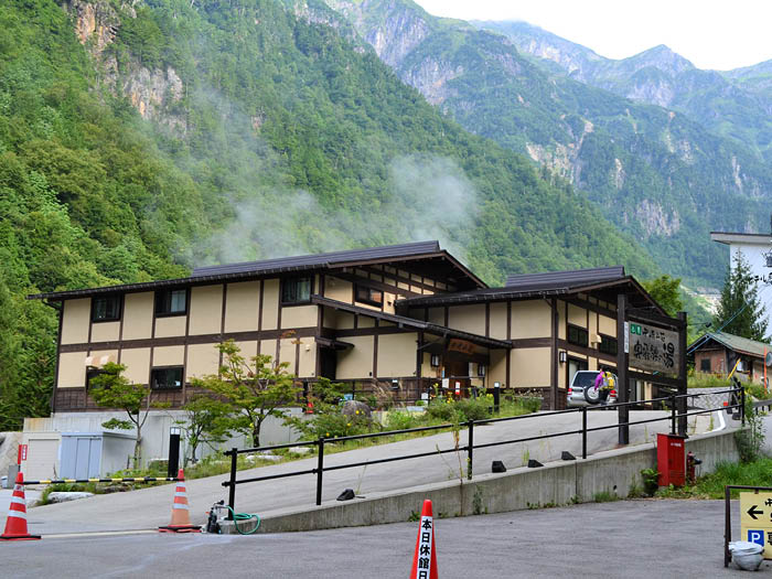
Elevation 1,090m
↓ 2hours 5 minutes
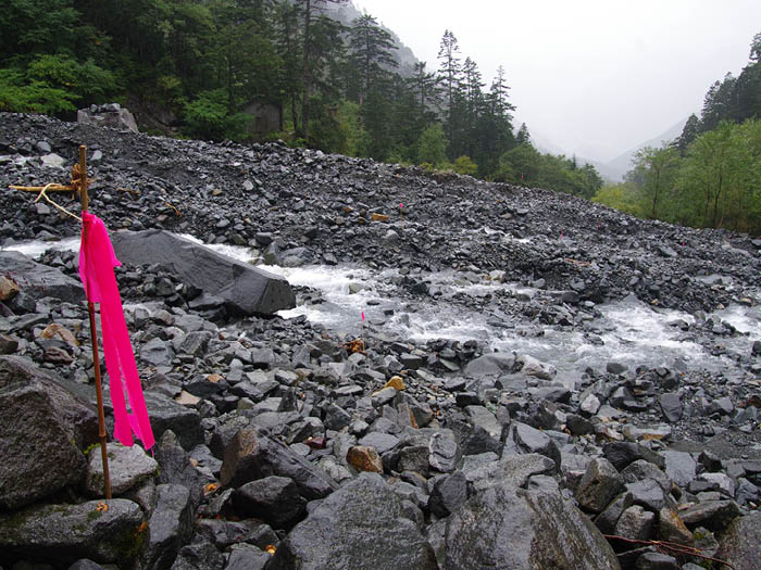
Shiradashi-sawa deai
Elevation 1,542m
↓ 1hours 30 minutes
Takitani-deai
Elevation 1,800m
↓ 1hour
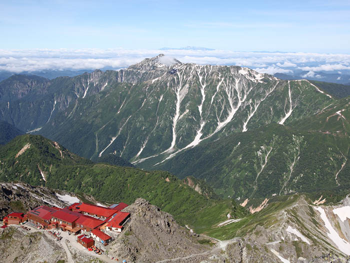
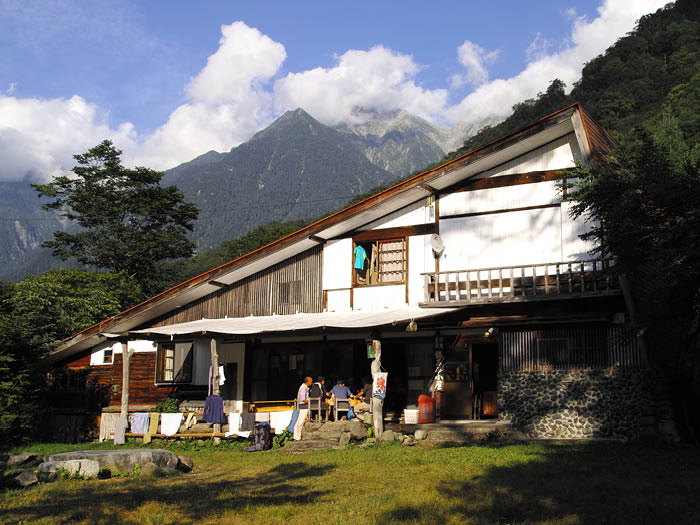
Yari-daira koya Mountain hut
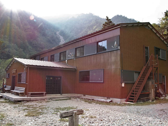
Elevation 1,990m
↓ 2hours 30 minutes
Senjo Junction
Elevation 2,550m
↓ 2hours 15 minutes
Hida-nokkoshi
Elevation 3,010m
↓ 45minutes
Mt. Yari-gatake
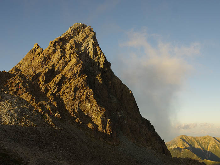
Elevation 3,179m
↓ 40 minutes
Hida-nokkoshi
Elevation 3,010m
↓ 2hours 40 minutes
Yari-daira koya Mountain hut
Elevation 1,990m
↓ 2hours
Shiradashi-sawa deai
Elevation 1,542m
↓ 1hour 35 minutes
Shin-hotaka Onsen
Elevation 1,090m


Route Guide
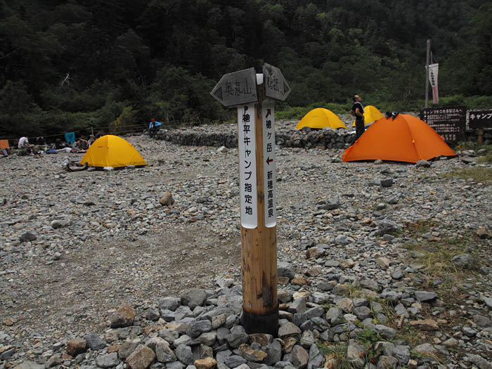
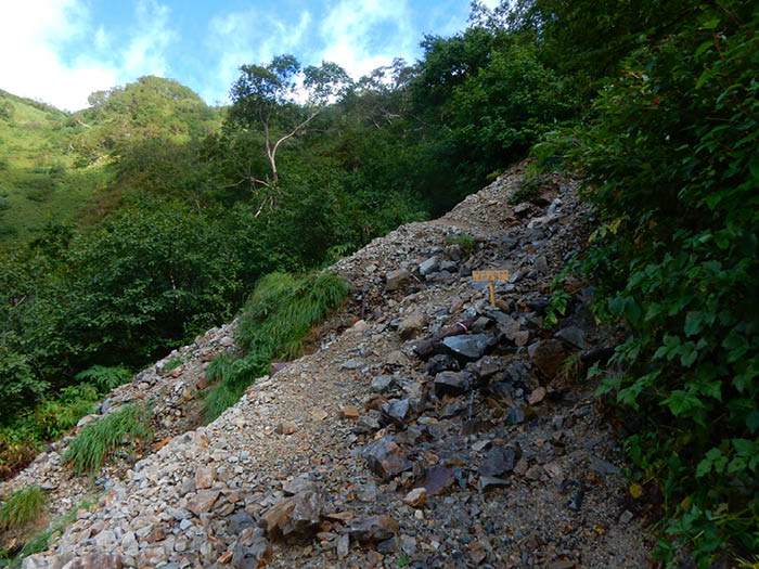
Start from the Shin-hotaka Ropeway Bus stop and take a right. Pass by the Shin-hotaka Ropeway station then enter the Kamata-gawa-migimata logging road. After passing Hotaka-daira, where a meadow spreads, you will reach Shirodashi-sawa-déai. A logging road ends here. Cross Shirodashi-sawa on a graveled trail. This area of the trail is covered by forest and there will be no wide view.
When the trail comes closer to the river, Takitani-déai will be reached shortly. Otaki Falls can be seen in a narrow valley. A relief of Kuzou Fujiki covers the rock on the right after crossing Takitani. He is the first rock climber who climbed Takitani. It takes about one hour from here to Yari-daira koya mountain hut. It is recommended to stay for a night here.
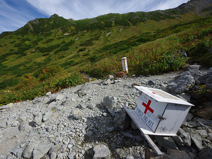
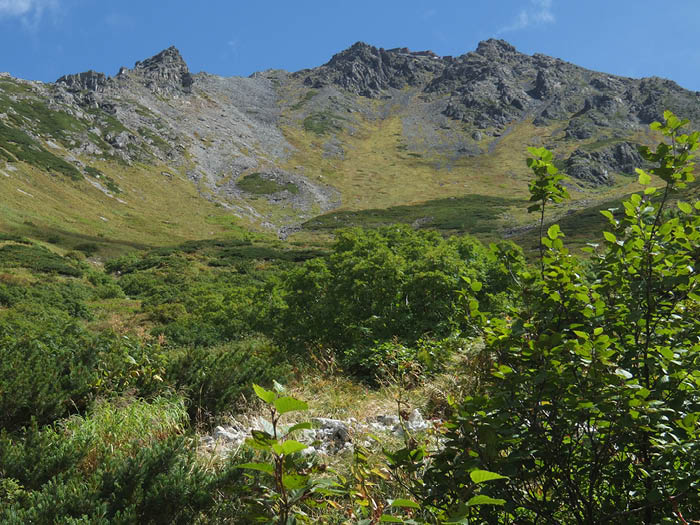
Start Day 2 early. Take a trail along the mountain’s foothills on the left side of the river. Cross a dried stream then walk pass a coniferous forest zone. A place to replenish water is reached and after this point, the trail becomes very steep. After climbing the steep slope, the trail gets flatter once. Continue to hike up the dried stream to Senjo-nokkoshi Junction. The trail becomes a large slope. The main ridgeline will look down on you from high above your head. Climb at a steady pace.
A field full of flowers will spread forth before you. Shinano-kinbai or Hakusan-ichige might make you forget about the challenging steep slope. Climb up in a zigzag pattern. Hida-nokkoshi is reached just as the trail becomes full of unstable rocks.
Take a left to Yari-no-kata. The slope becomes steep but it should not take too long to reach Mt. Yari-gatake sanso Mountain hut on the shoulder of Mt. Yari-gatake. Check in at the hut then challenge the summit. Climb up the rocky trail using chains and ladders. The summit is narrow but the view is spectacular. Follow a descending route to hike down.