Ushiro-tateyama Traverse Route
⑥Mt. Shirouma-dake ~ Mt. Shakushi-dake ~Mt. Hakuba-yari-gatake~Mt. Karamatsu-dake~Mt. Goryu-dake ~ G4 ~ G5 ~ Mt. Kashima-yari-gatake ~ Ougisawa (expert)
Technical level: D
Physical strength:10
Difficulty ★★★★
Enjoy the Great Traverse Across the Northern Area of the Northern Alps
This is a 4 day, 3 night hike across three of Japan’s 100 famous mountains, traversing from Mt. Shirouma-dake to Mt. Goryu-dake and on to Mt. Kashima-yari-gatake. The mountain journey offers wonderful views, but caution must be taken before the difficult sections on Mt. Karamatsu-dake and Mt. Kashima-yari-gatake.
●Hiking data
Itinerary: 4 days, 3 nights or 5 days, 4 nights (from Mt. Shirouma-dake)
Walking time: 25 hours 35 minutes
Walking distance: 37 km
Cumulative elevation gain on ascent: 4,835 meters
Mt. Shirouma-dake

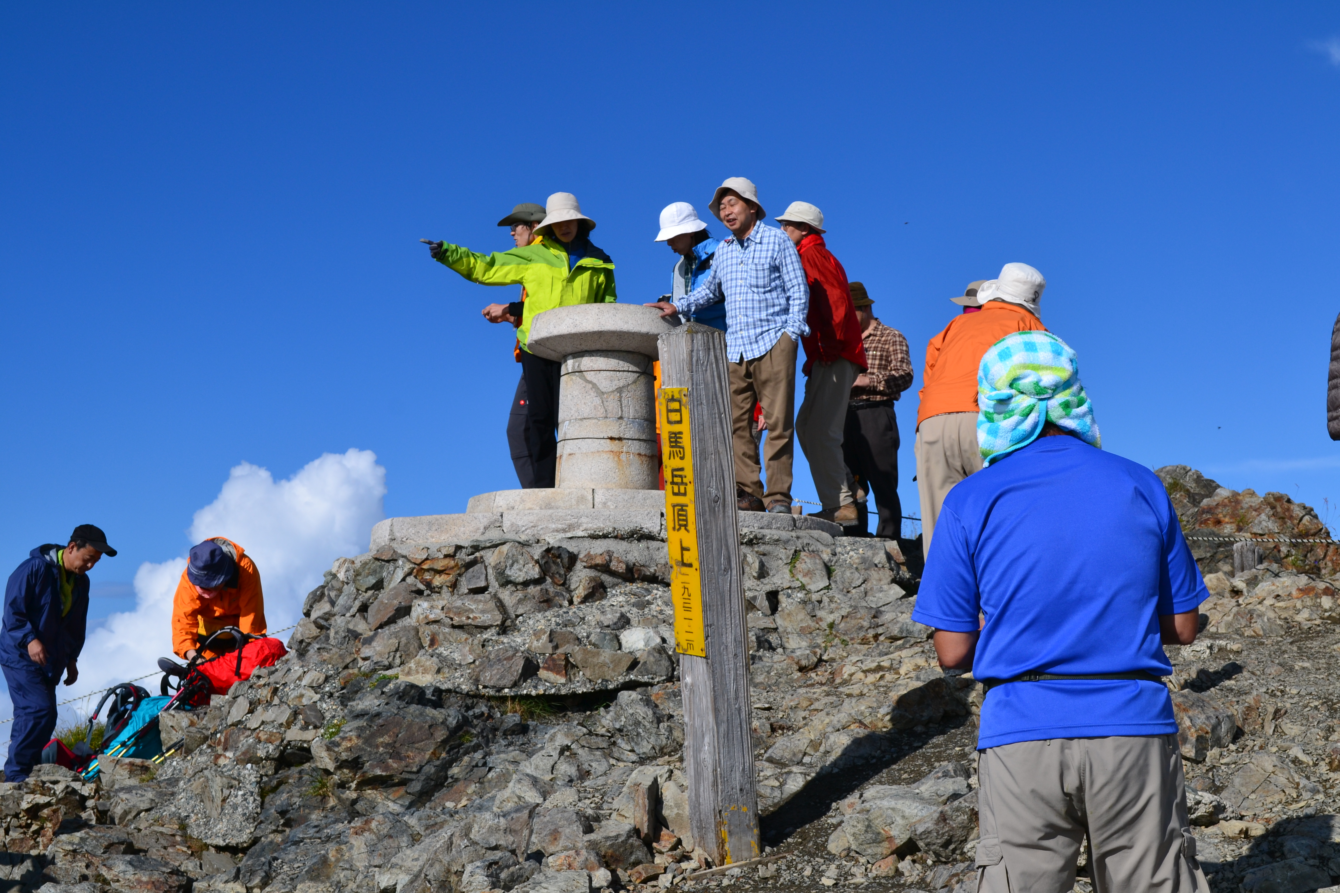
Elevation 2,932m
↓ 2 hours 50 minutes
Public Tengu-sanso
Elevation 2,730m
↓ 5 hours
Mt.Karamatsu-dake

Elevation 2,696m
↓ 15 minutes
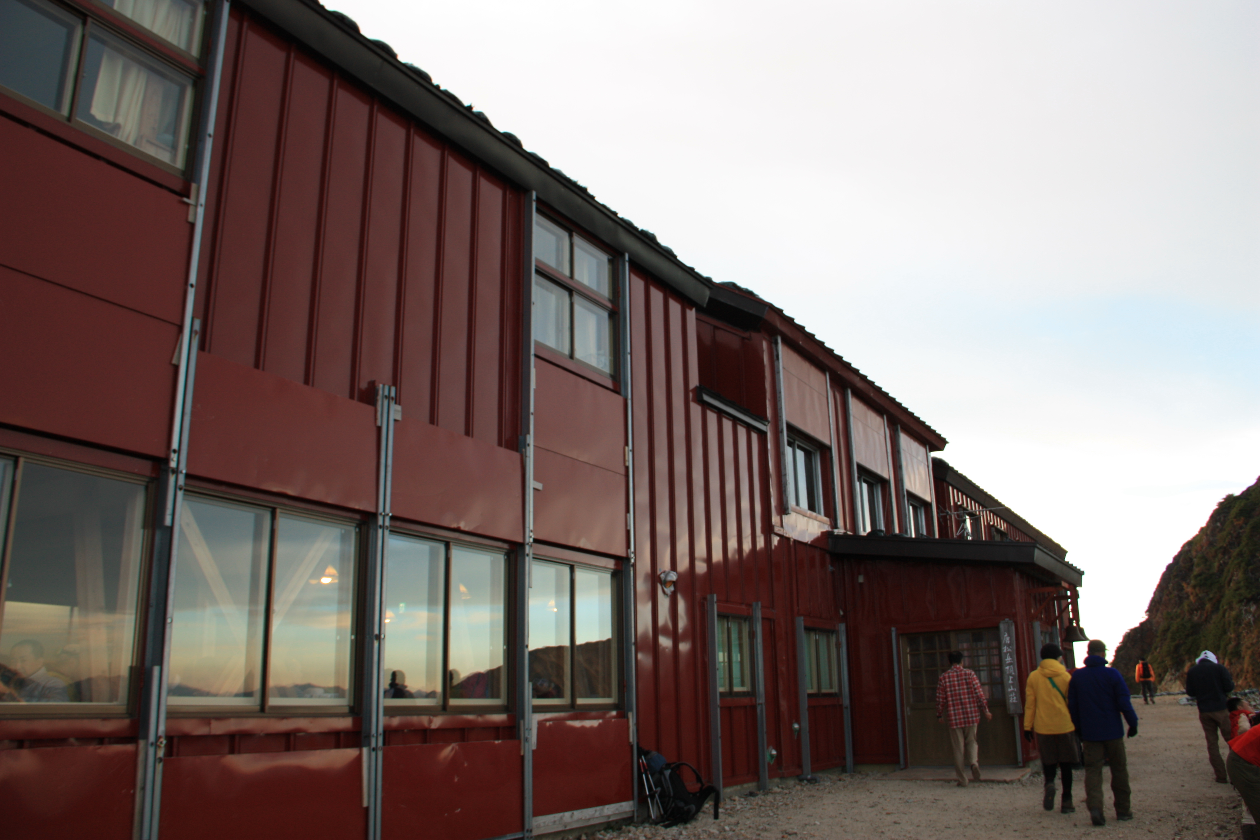
Karamatsu-dake Chojo-sanso
Elevation 2,620m
↓ 2 hours 30 minutes
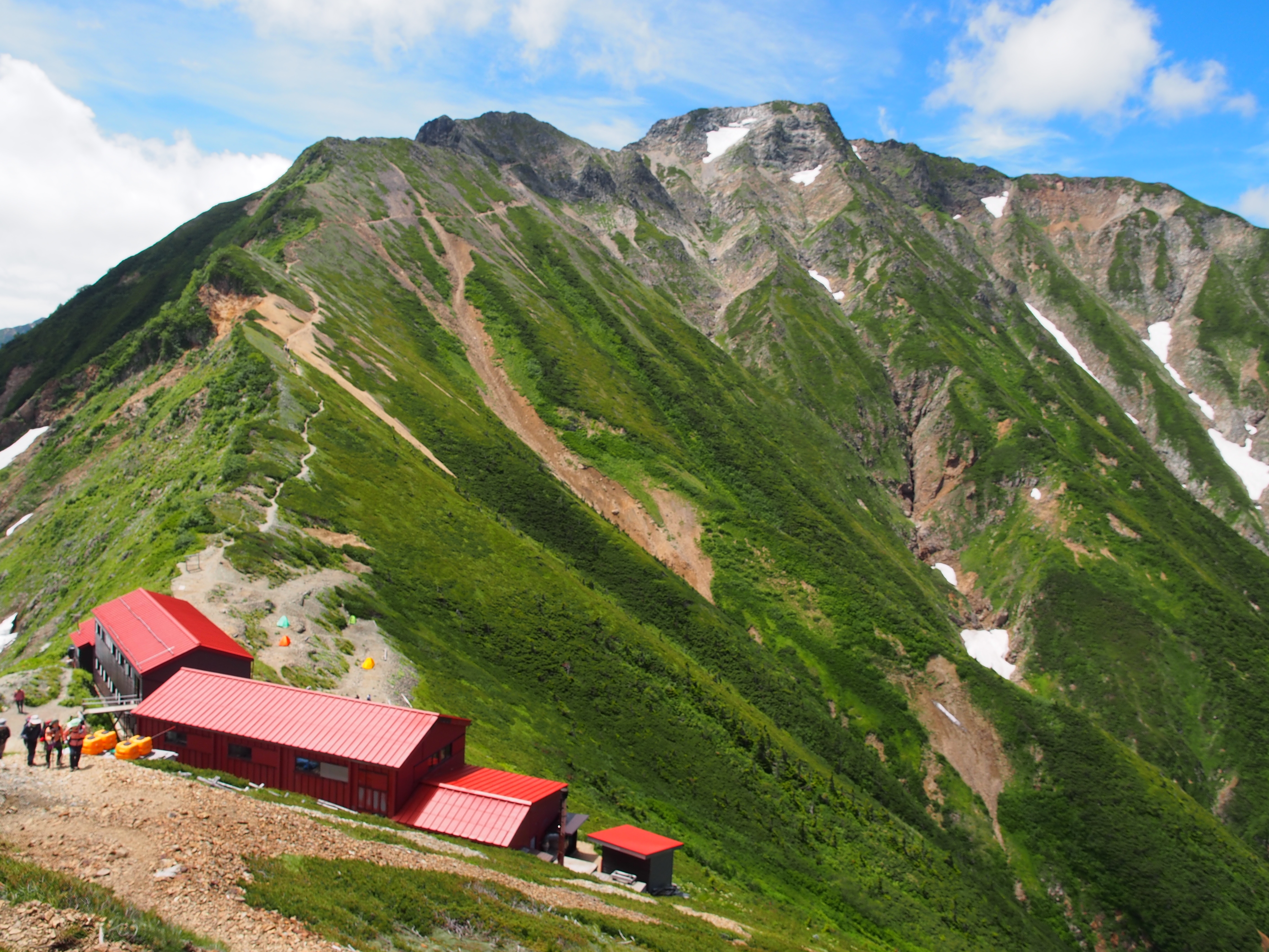
Goryu-sanso
Elevation 2,490m
↓ 1 hour
Mt. Goryu-dake
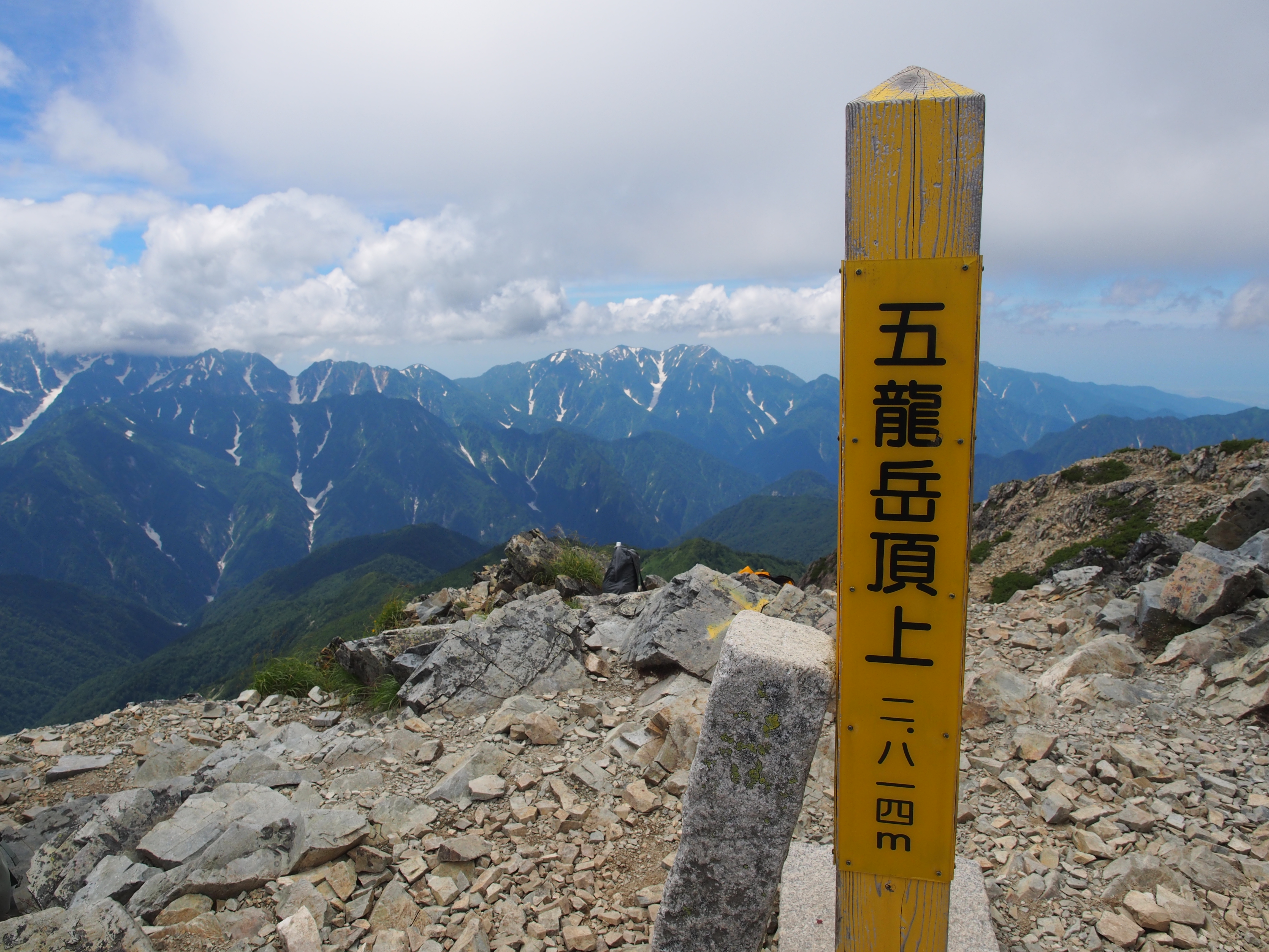
Elevation 2,814m
↓ 4 hours
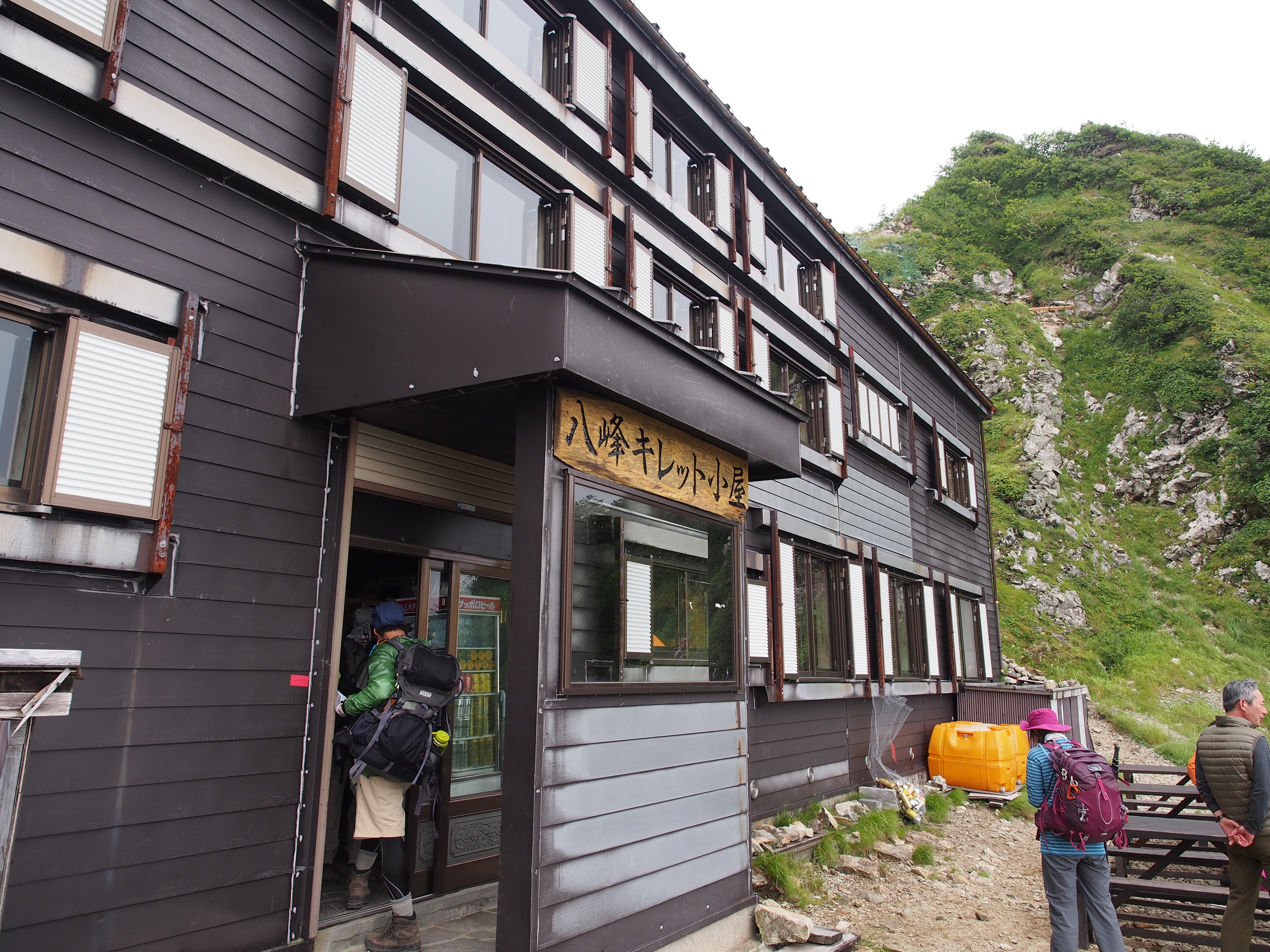
Kiretto koya
Elevation 2,518m
↓ 2 hours 30 minutes
Mt. Kashima-yari-gatake
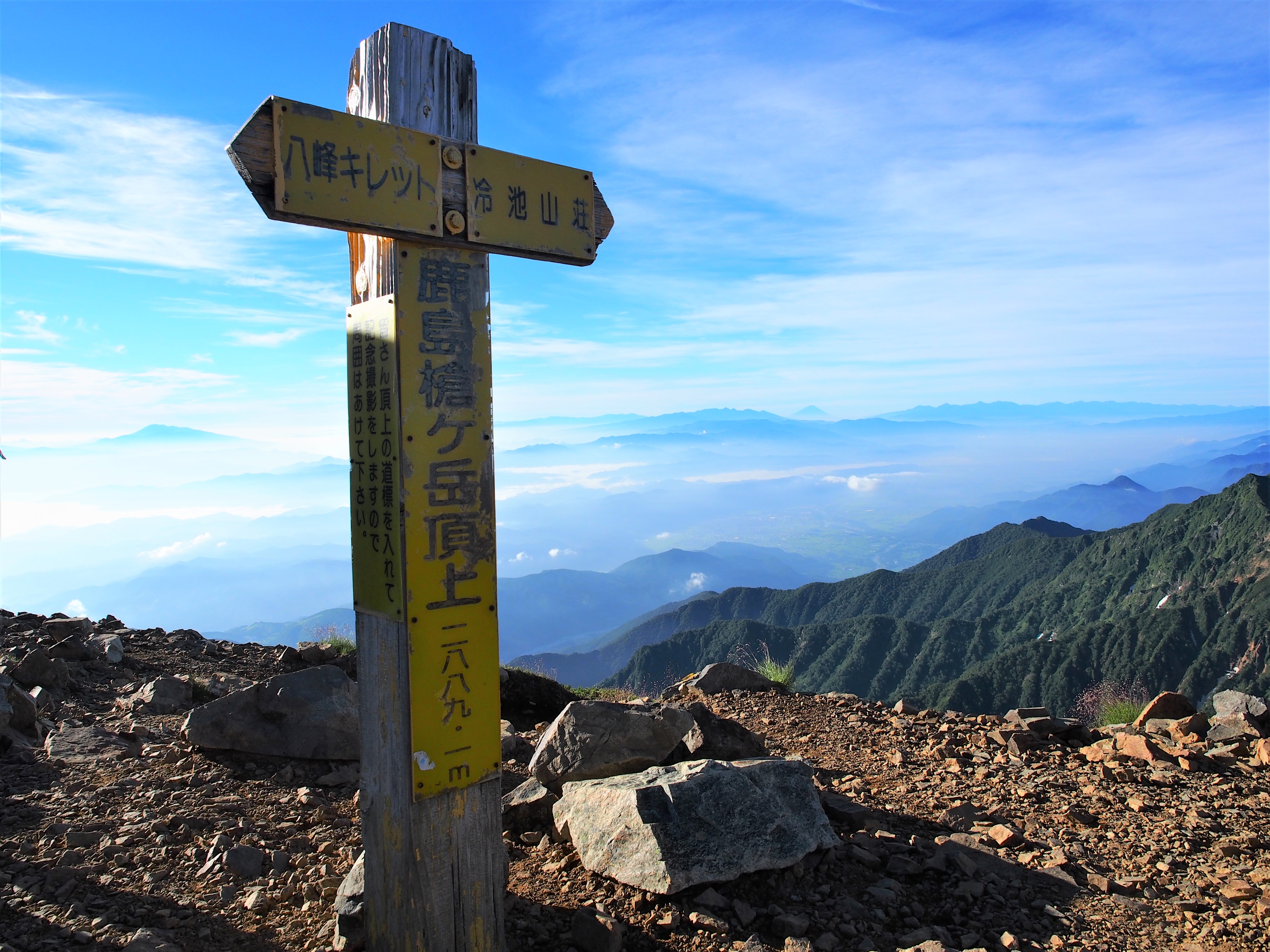
Elevation 2,842m
↓ 2 hours 10 minutes
Tsumeta-ike-sanso
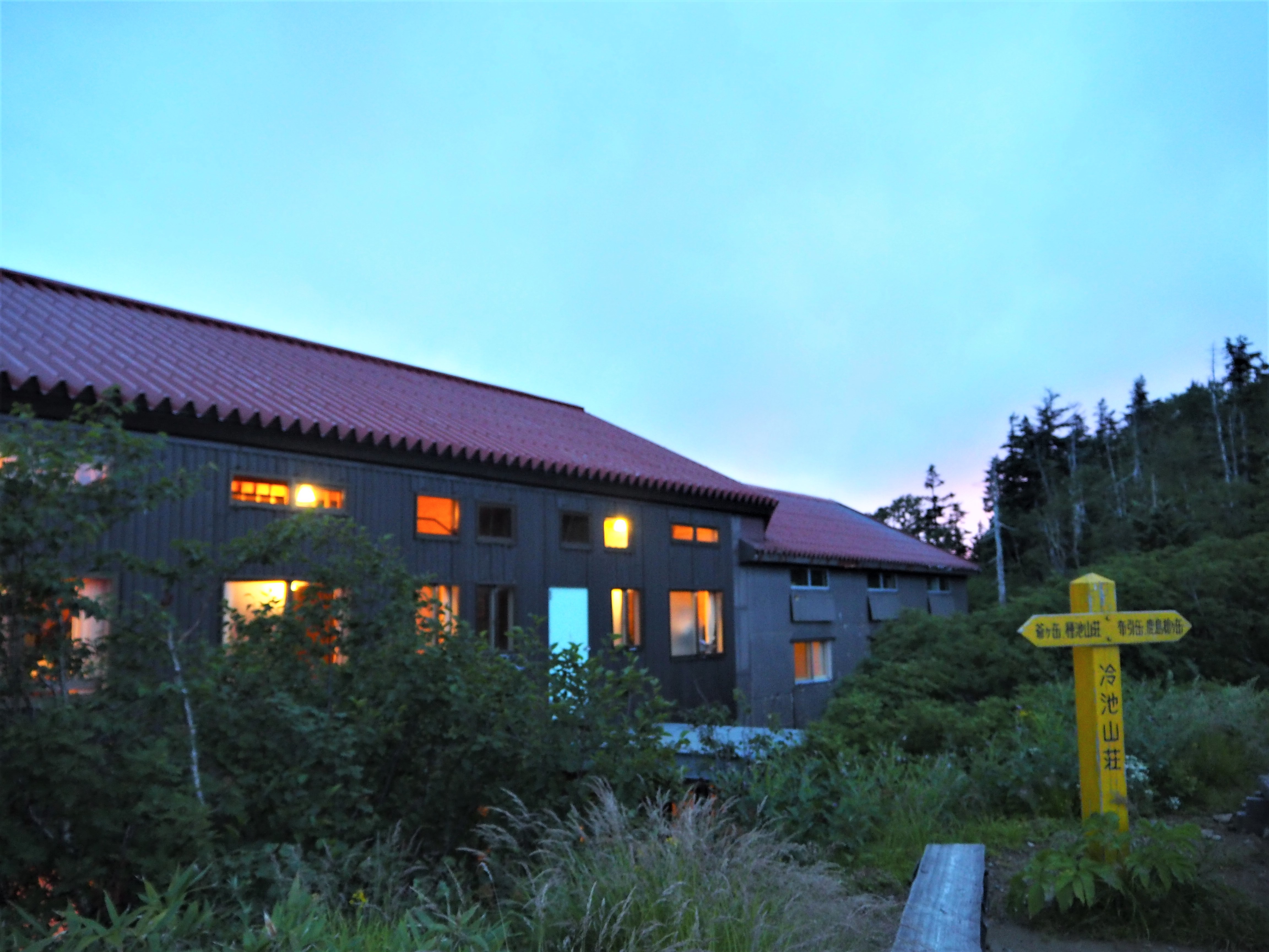
Elevation 2,410m
↓ 1 hours 40 minutes
Jiiga-take
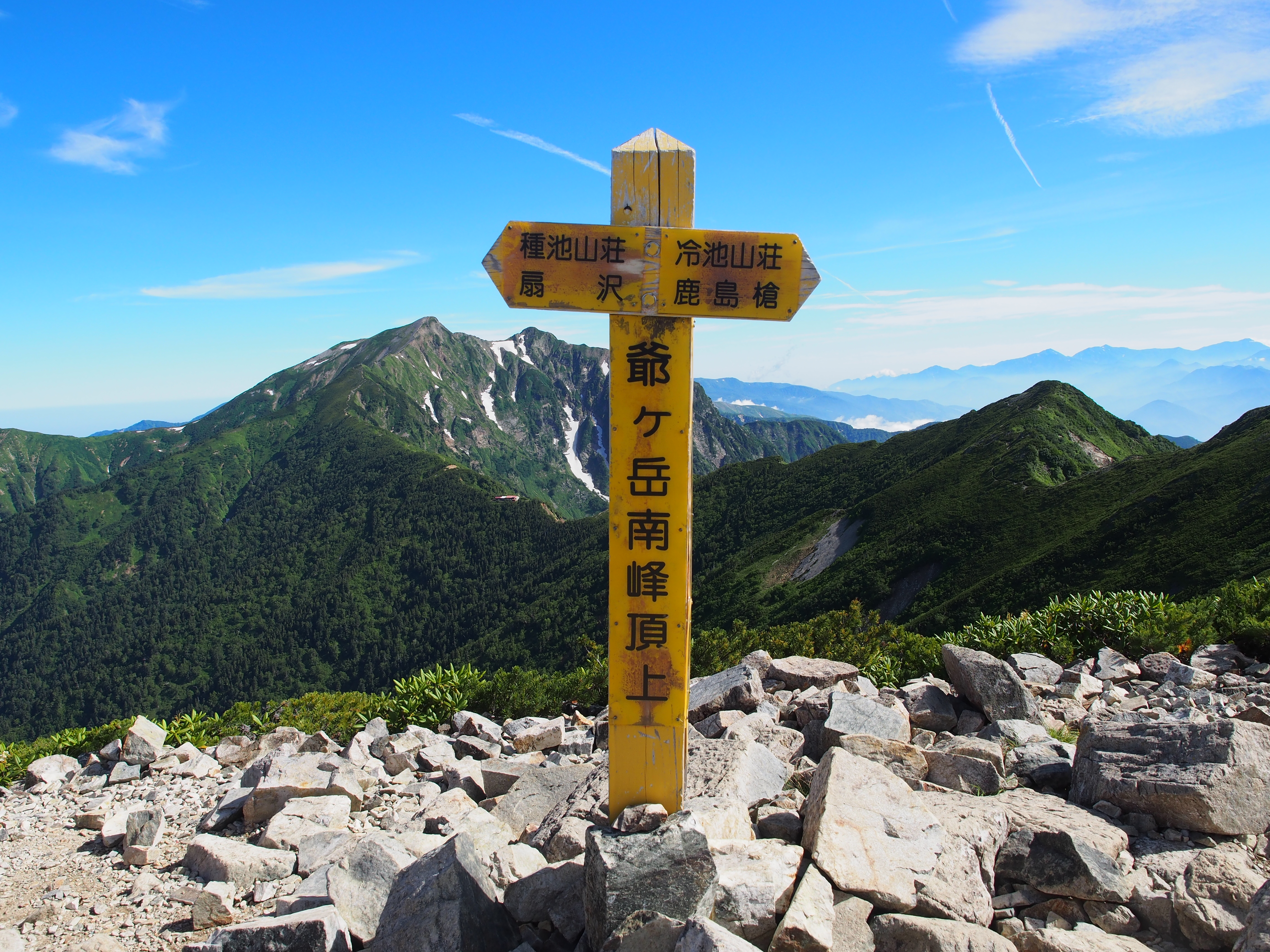
Elevation 2,699m
↓ 40 minutes
Taneike-sanso
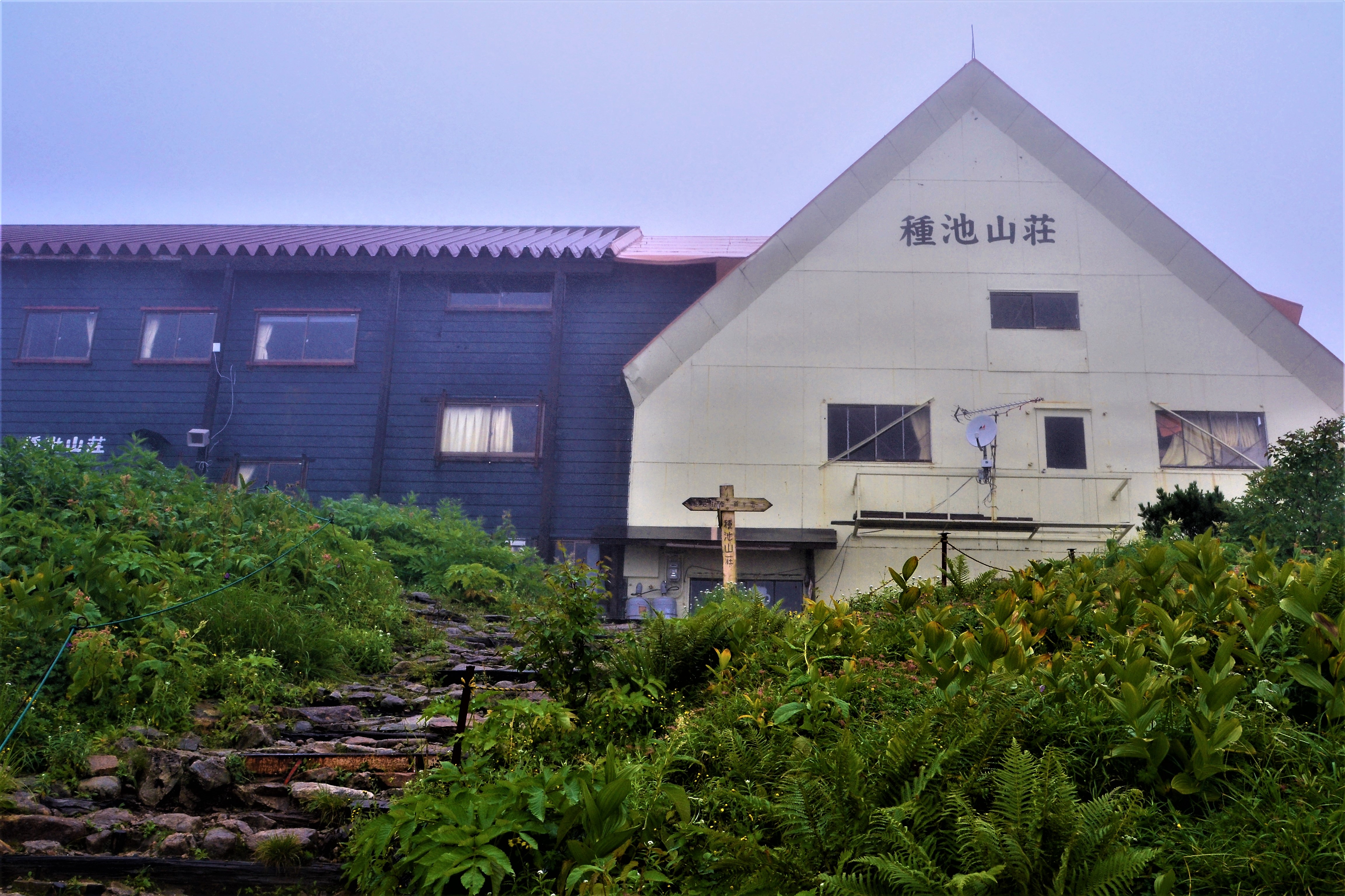
Elevation 2,450m
↓ 3 hours
Ogisawa
Elevation 1,433m
Route Guide
For Mt. Shirouma-dake, please see 1. Mt. Shirouma-dake
It will take more than 25 hours of walking from Mt. Shirouma-dake. Tengu-sanso is under construction, so as of August 2019, only tent accommodations are available, so we will stay in the Karamatsu-dake Chojo-sanso, Kiretto koya, and Tsumeta-ike-sanso in that order over the course of the four day, three night hike. The first and second day, walking times are especially long so we will be leaving as early in the morning as possible.
From the summit of Mt. Shirouma-dake, you will head along the ridgeline toward Mt. Hakuba-yari-gatake. The ridgeline feels fantastic to walk across. Once you pass Mt. Shakushi-dake, you will climb Mt. Hakuba-yari-gatake. You might even encounter a rock ptarmigan on your way up to the summit. After taking in the beautiful view of Mt. Hakuba-dake, we descend the trail immediately to Tengu ridge. When you pass Tengu-sanso and continue for a while, you will find yourself at Tengu-no-o-kudari. Once you pass this point, you will enter the Kaerazu V-shaped narrow ridge.
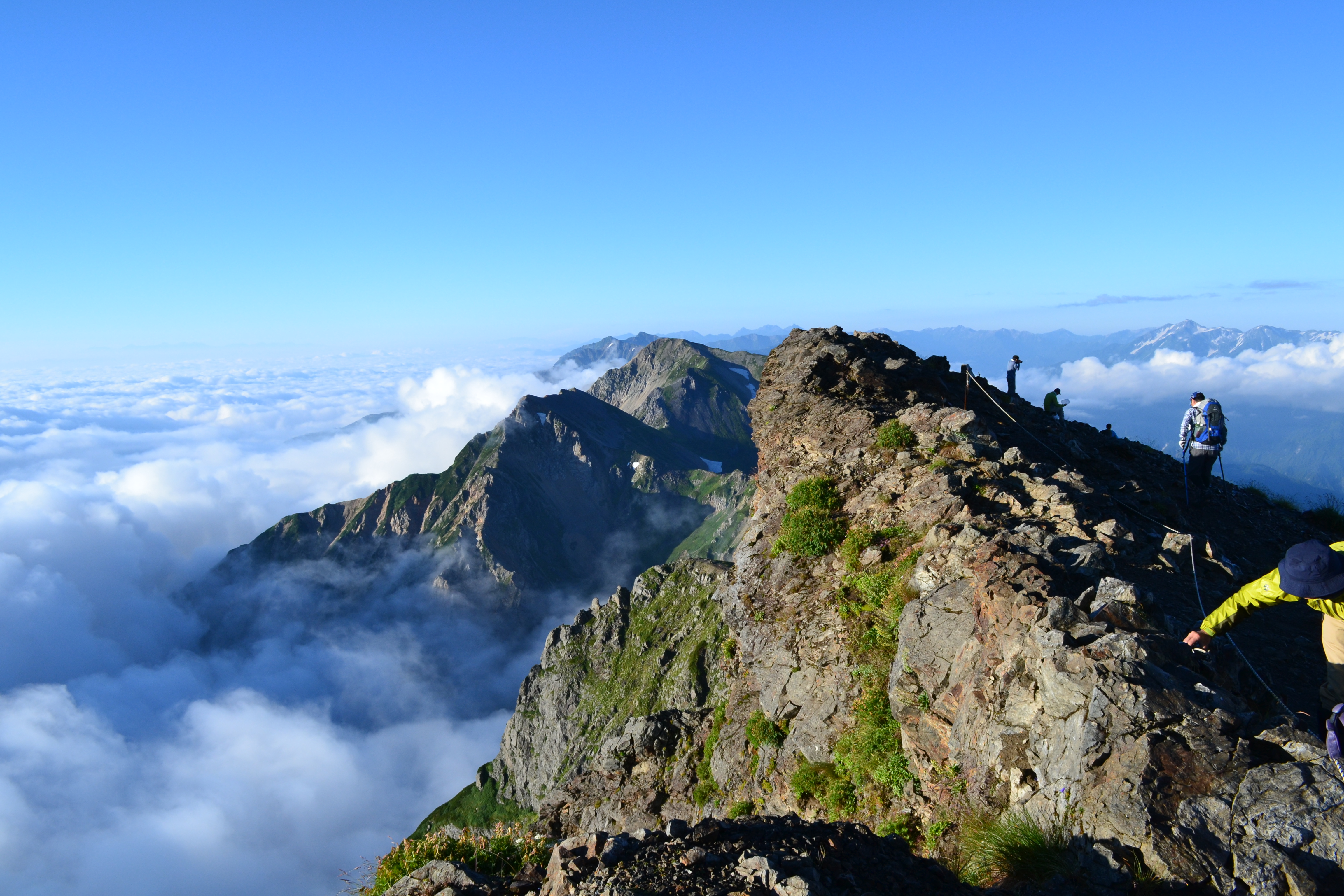
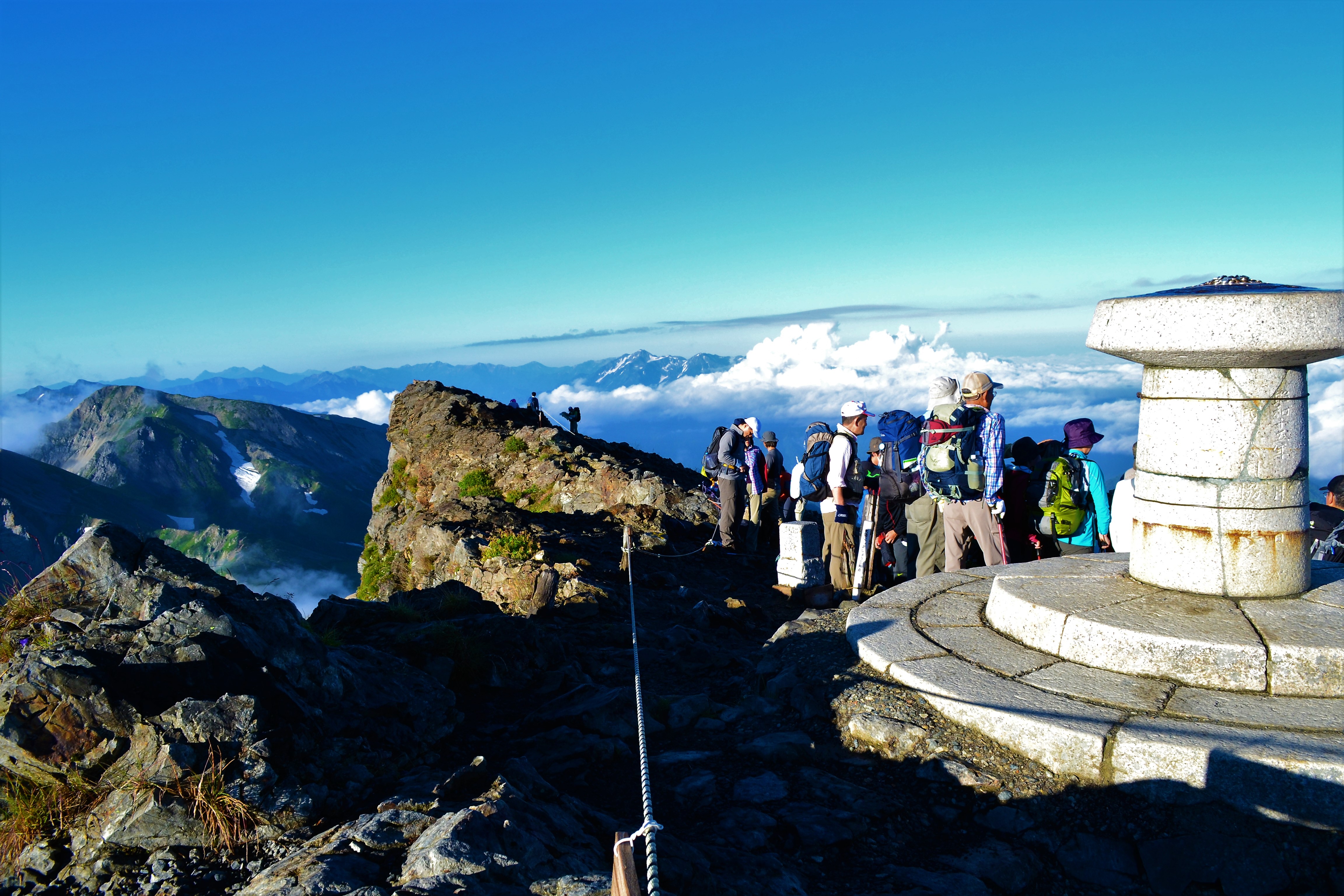
The Kaerazu V-shaped narrow ridge is a series of descending chains and ladders. Keep your wits about you and steel your nerves as you proceed. You will need to wear a helmet. After passing the first peak on the ridgeline, you will be confronted by the large boulders of the second peak. Follow the instructions you are given precisely as you climb. There are chains in the most dangerous places, so please make use of them. Cross the angled bridge and follow the narrow trail. It would be impossible for two people to cross paths here, so proceed with caution making sure to check for hikers coming from the other direction. The second peak is spacious, so this is a good place for a rest. When you pass through the creeping pine area, you will find yourself at the third peak. You should arrive at the summit of Mt. Karamatsu-dake in about 30 minutes. This is where Karamatsu-dake summit hut stands.
The next day we continue along the ridgeline aiming for Mt. Goryu-dake. After a short climb up the ridge, you will find yourself on Ushikubi-no-kashira. From here, you will descend while going around a knife-edged ridge. There are chains here but be careful of your footing. You will descend a patch of trail with scree here. As you approach the tree line, you will arrive at the saddle just before Mt. Daikoku-dake. From here you will travel along the trail where the Shinshu side cuts off. Climb while hiking around the peak of Mt. Daikoku-dake, and then descend from the peak to arrive at the saddle. You will make a zigzag as you climb Mt. Shira-dake. The vegetation will change from shrubs to creeping pine. When you clear the traverse trail, you will find yourself on Mt. Shira-dake. Goryu-sanso stands on the saddle just below the summit.
Mt. Goryu-dake has peaks called G2 and G4. This comes from the German word “grat” which means ridge. These names were used when the area was pioneered, and they remain today. G3 is the summit of Mt. Goryu-dake. Travel just a little bit past Goryu-sanso along the wide ridge and you will start climbing around the Kurobe side. Be careful of boulders and falling rocks and read the painted trail indicators as you climb. Take care not to be misled by footprints. Stepping into the saddle just before the summit, you can see the Azumino Basin spreading below. Continue on the scree trail and use the chains to climb a short distance to reach the summit ridge. The summit is 50 meters to the right. After enjoying the view in the Tateyama Mountains direction, return to the trail indicators for the sharp ridge and start the zigzag path down to G4. The rocks are delicate here, so be careful not to start a rock fall. Go around the Kurobe side, and after climbing a rocky peak, you will arrive at the small group of rocky peaks known as G5. Use the chains to descend the scree path. You will run into a peak with a small, red, rock wall. Here you will climb from the chains up an iron ladder. Continuing for a while, you will reach the Kitaone-no-kashira peak. From here the descent is gentle until you arrive at the Kuchi-no-sawa saddle. Climb the chained area and you will go around several rocky peaks as you descend. There are chains in the dangerous areas. Eventually you will see a small mountain hut. This is Kiretto mountain hut.
From Kiretto mountain hut, climb the rocky ridge. From the Kurobe side, return to the Shinshu side, and we will now enter the most challenging narrow ridge portion. Descend the ladder and rely on the chains to traverse the wooden pier. Once you descend the ladder on the Kurobe side, you will be at the bottom of the narrow ridge. Climb back up just slightly, and once you find yourself in the creeping pine area, the worst part is over. Continue climbing around the north peak of Kashima-yari-gatake. Eventually you will arrive at the saddle connecting the southern and northern peaks of Kashima-yari-gatake. Let’s leave our backpacks at the north peak and take a quick trip up and back.
The saddle between the northern and southern peaks of Kashima-yari-gatake feels very high, but it is not dangerous. From the southern peak, descend the ridge in a zigzag. Passing through the field of flowers and the tent campground, you will arrive at Tsumeta-ike-sanso.
From Tsumeta-ike-sanso, follow the ridgeline closely in the direction of Mt. Jii-gatake. There are no dangerous areas, but let’s take this hike slowly. Take in the overwhelmingly majestic views of Kashima-yari-gatake from the northern, center, and southern peaks of Mt. Jii-gatake. The figure of Mt. Tsurugi-dake will also make your heart skip a beat. Taneike-sanso is about 40 minutes from the center peak. Take a rest here and then descend from the steep Kashiwa-bara shindo trail to Ogisawa, and finally down the mountain.