Tsurugi – sawa Route
Murodo ~ Bessan-nokkoshi ~ Chojirou-deai ~ Sennin Pass ~ Ikenodaira-koya Mountain Hut ~ Sennin Pass ~ Kuranosuke-taira ~ Kurobe Dam
Technical Level: C
Physical strength: 8
Difficulty: ★★★★
Ultimate ridgeline hiking to fully enjoy the powerful figure of Mt. Tsurugi-dake
From Murodo, walk to Bessan-nokkoshi, where the view of Mt. Tsurugi-dake is fantastic. From there, the hike, blessed with various views of Mt. Tsurugi-dake, begins. However, great caution must be practiced at Tsurugi-zawa snowy valley or Sennin-shindo. The trail along Kuranosuke valley used as a descending route is not for beginners either. You have to be fully prepared and your body fully conditioned to enjoy this hike.
●Hiking Data
Schedule: Three nights and four days
Walking hours: 21 hours and 5 minutes
Walking distance: 25.299 km
Cumulative elevation difference: 2,556 m
Murodo

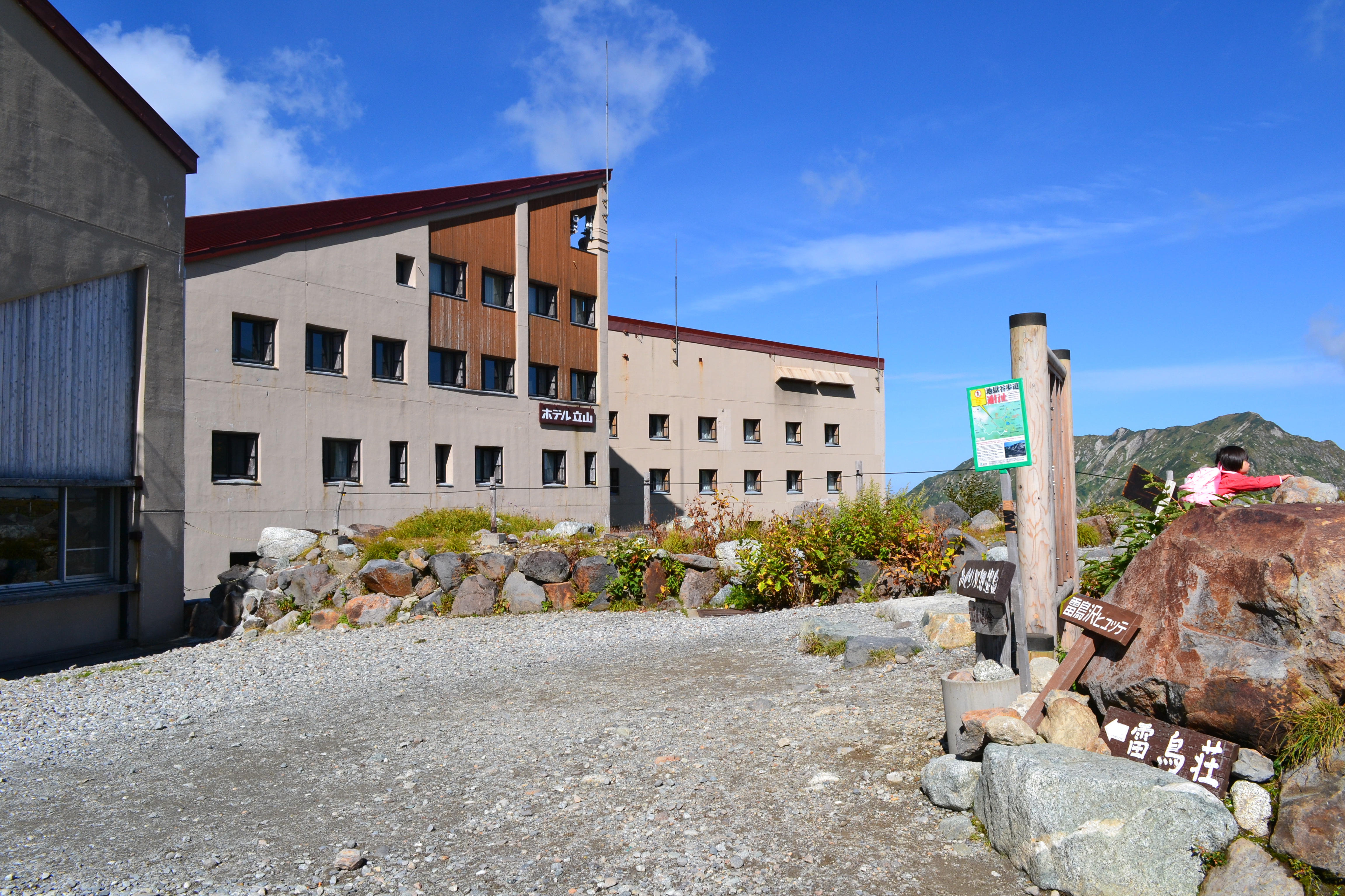
Elevation 2,420m
↓ 2 hours 45 minutes
Bessan-nokkoshi
Elevation 2,750m
↓ 1 hour
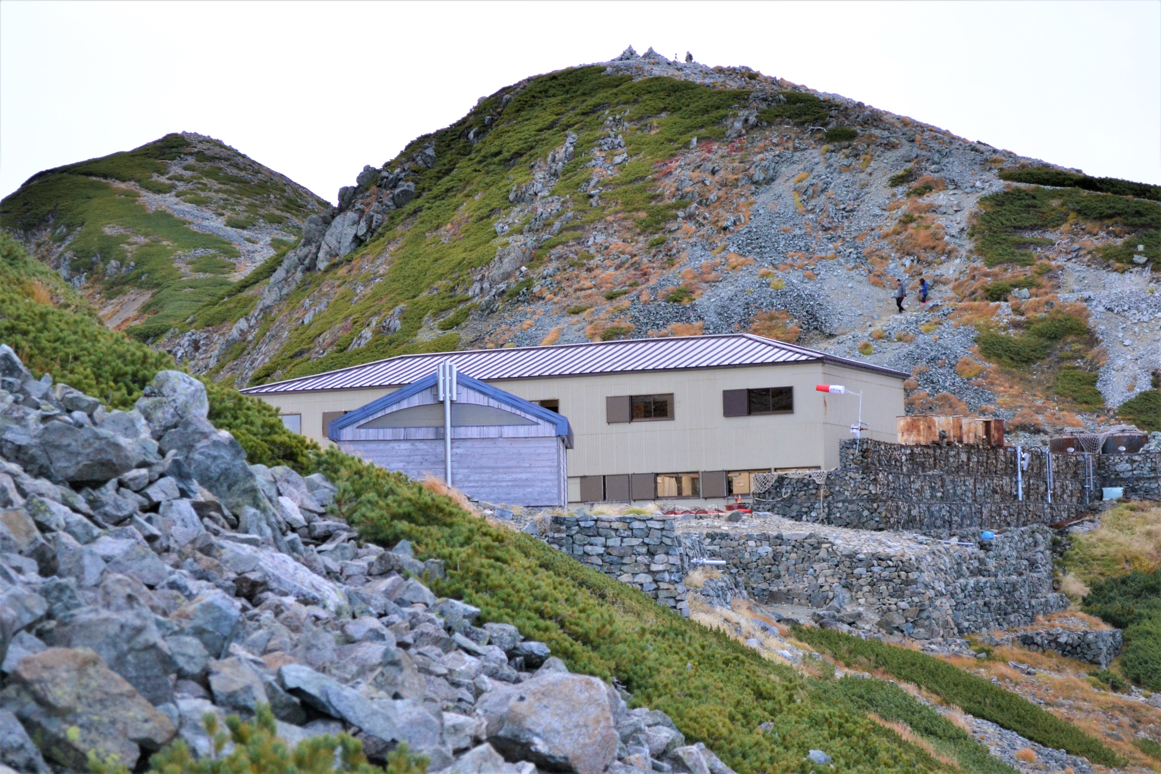
Tsurugi-zawa-koya Mountain Hut
Elevation 2,400m
↓ 1 hour 10 minutes
Chojiro-deai
Elevation 2,082m
↓ 4 hours 25 minutes
Sennin Pass
Elevation 2,100m
↓ 30 minutes
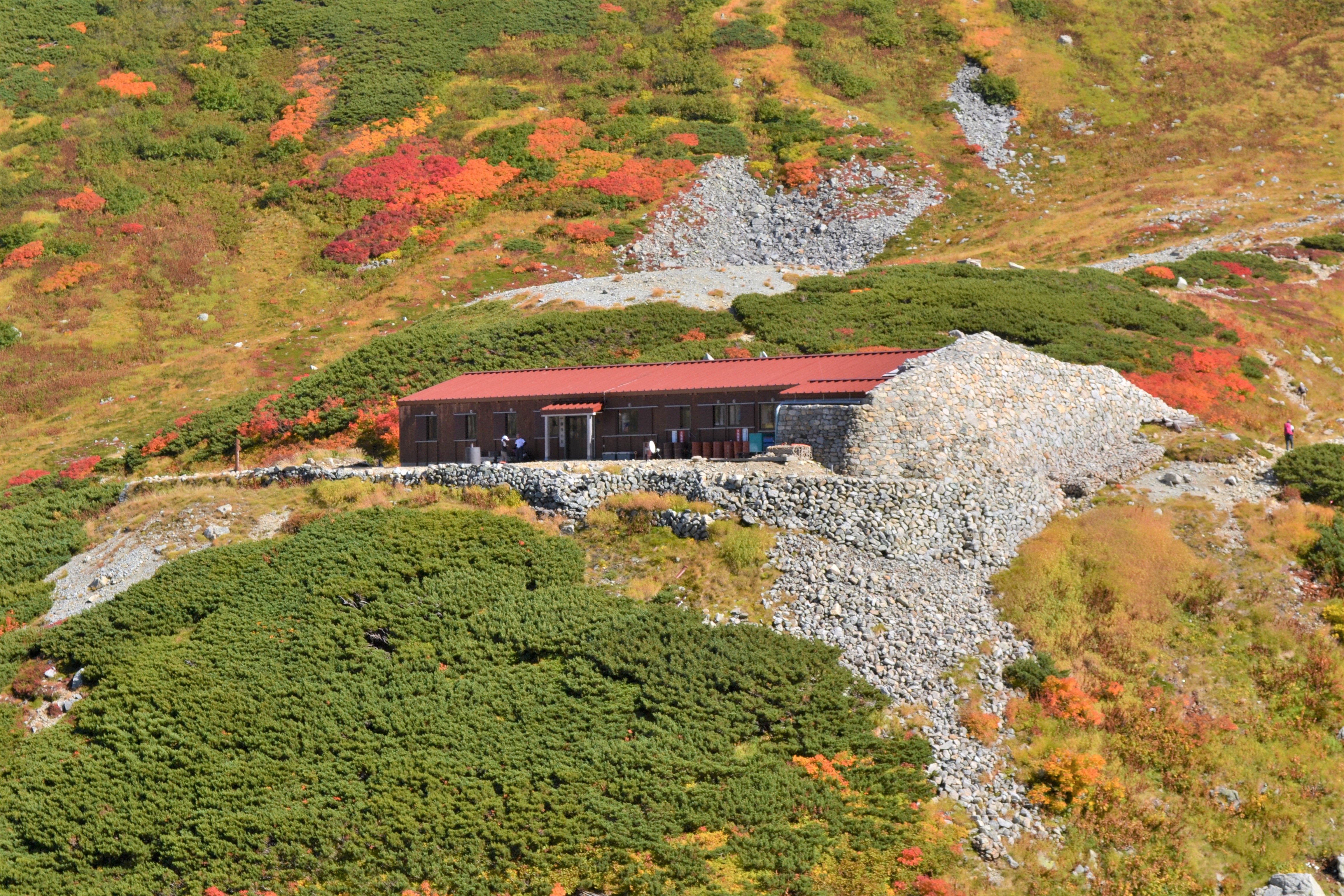
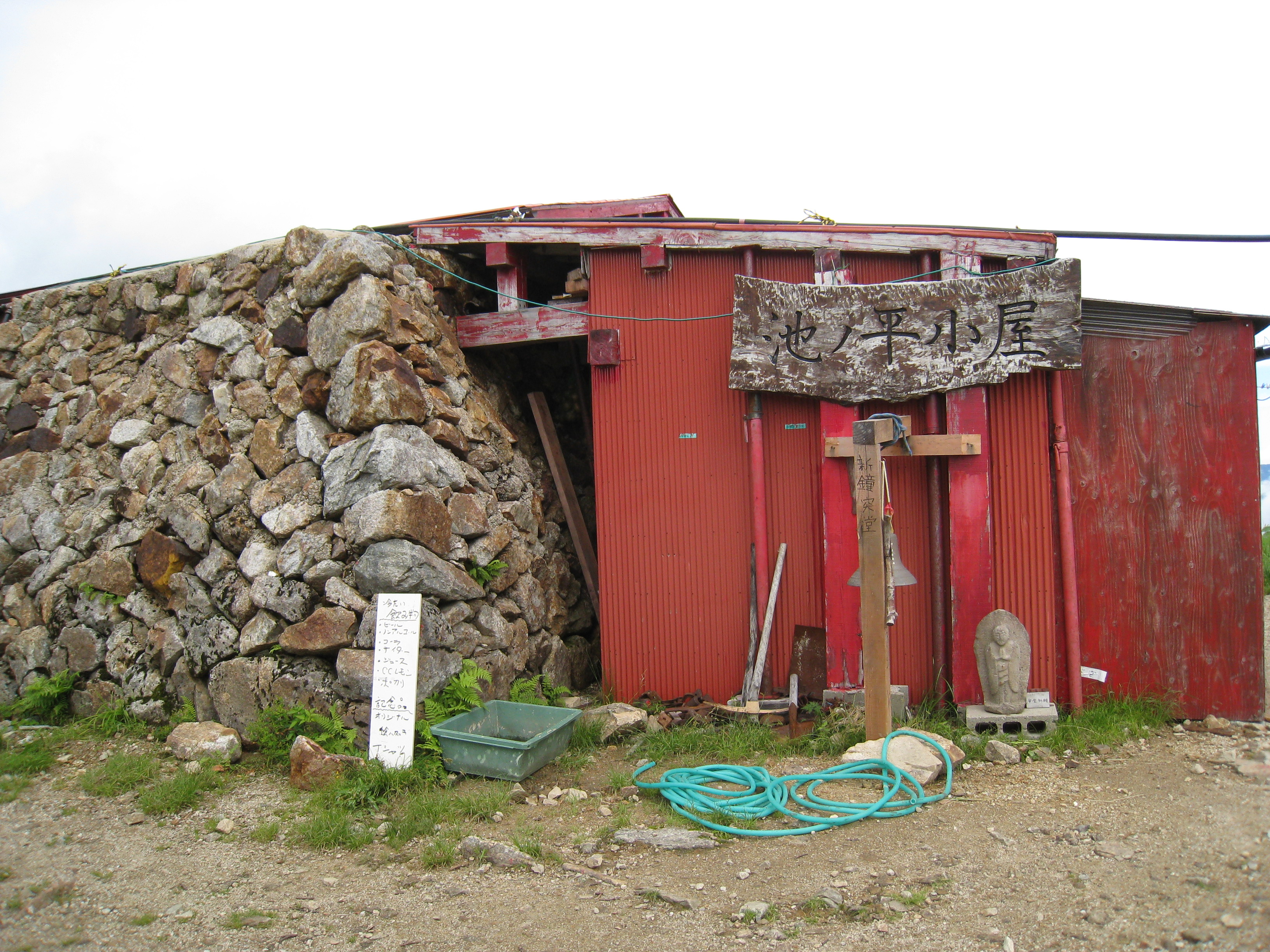
Ikeno-daira-koya Mountain Hut

Elevation 2,040m
↓ 45 minutes
Sennin-ike hut
Elevation 2,080m
↓ 2 hours 35 minutes
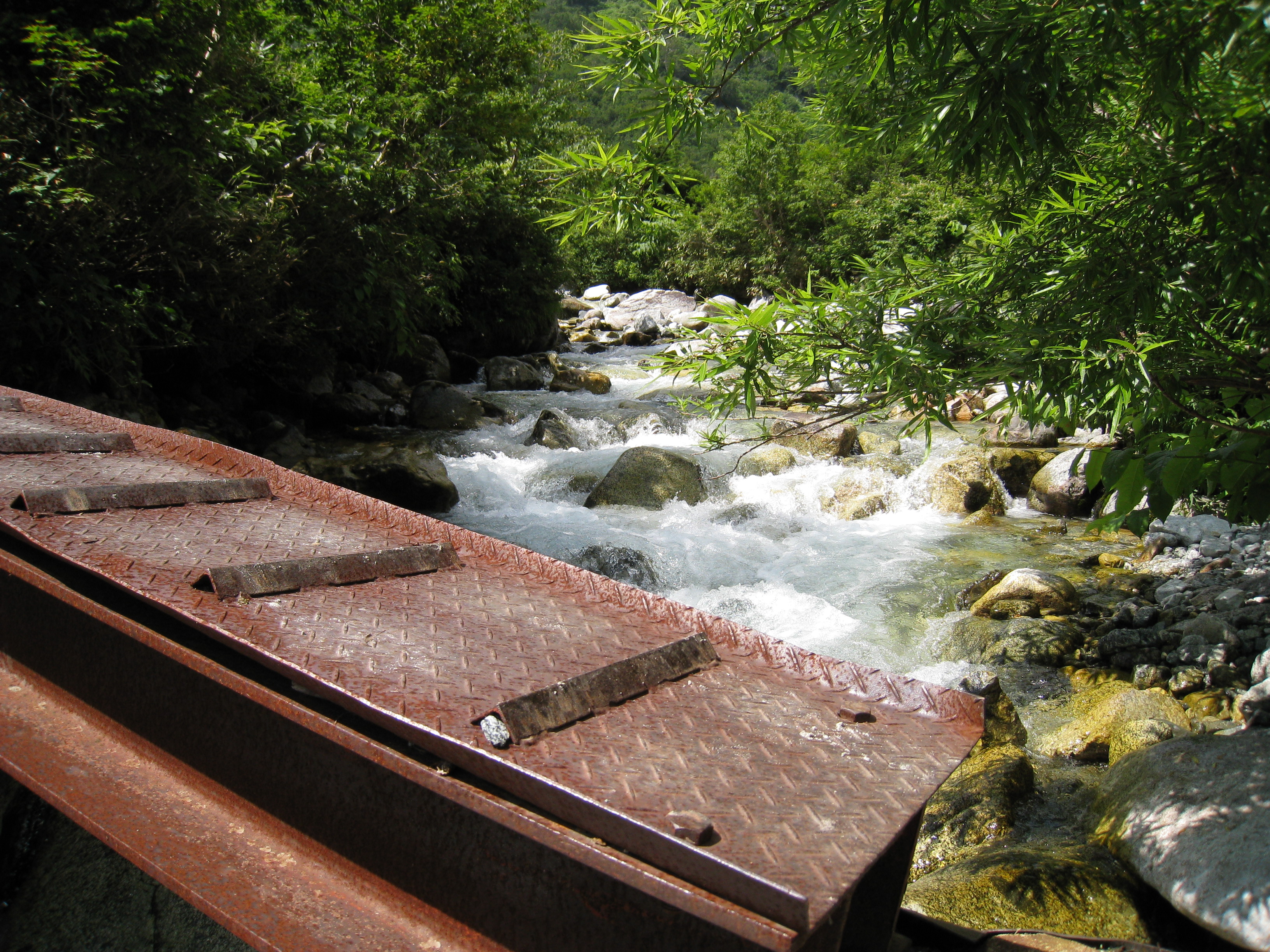
Hashigo -tani Bridge
Elevation 1,700m
↓ 35 minutes
Masago-zawa Lodge
Elevation 1,780m
↓ 30 minutes
Hashigo-tani Bridge
Elevation 1,700m
↓ 3 hours 20 minutes
Kuranosuke-taira Junction

Elevation 1,750m
↓ 3 hours 30 minutes
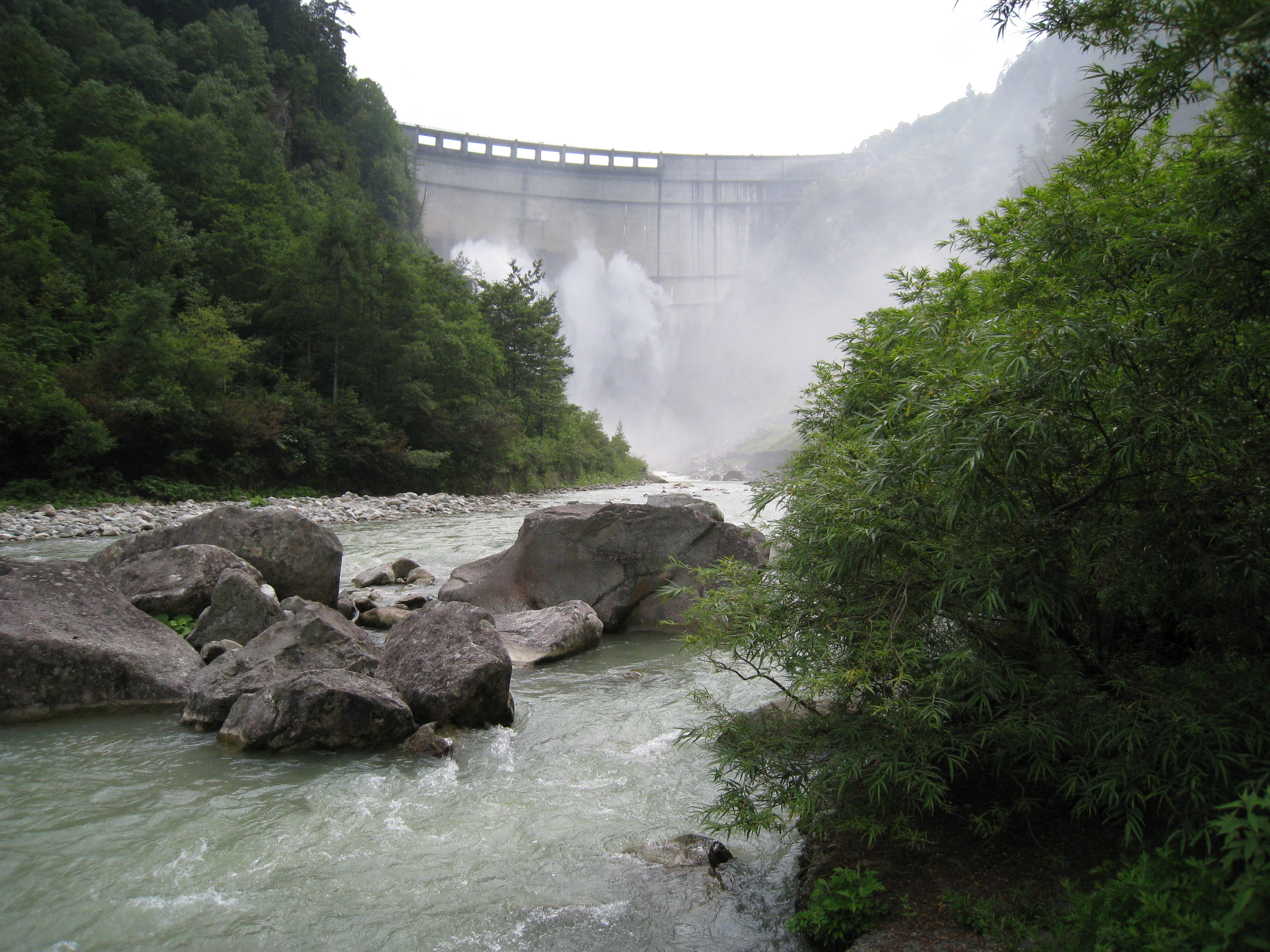
Kurobe Dam

Elevation 1,450m


Route Guide
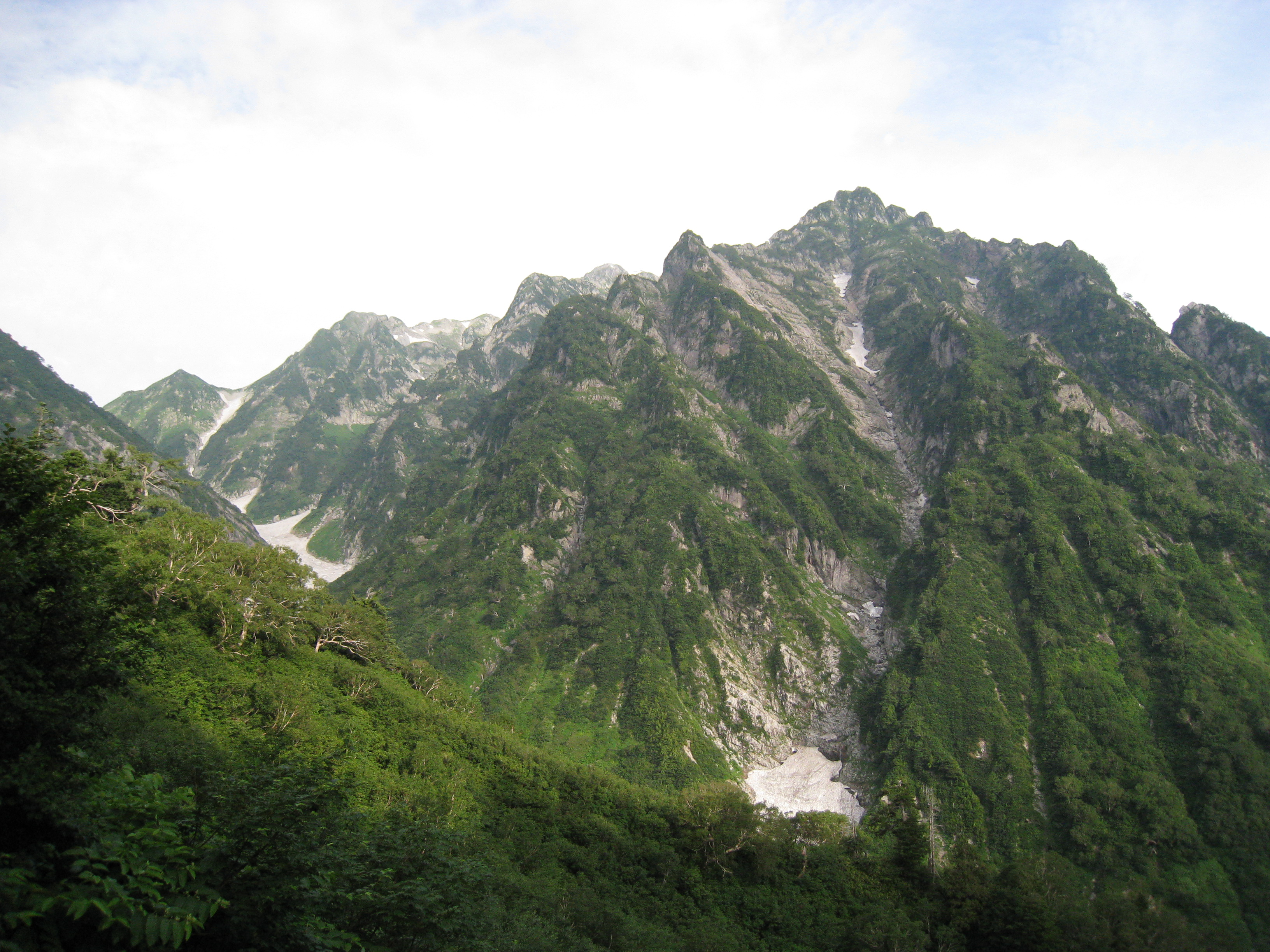
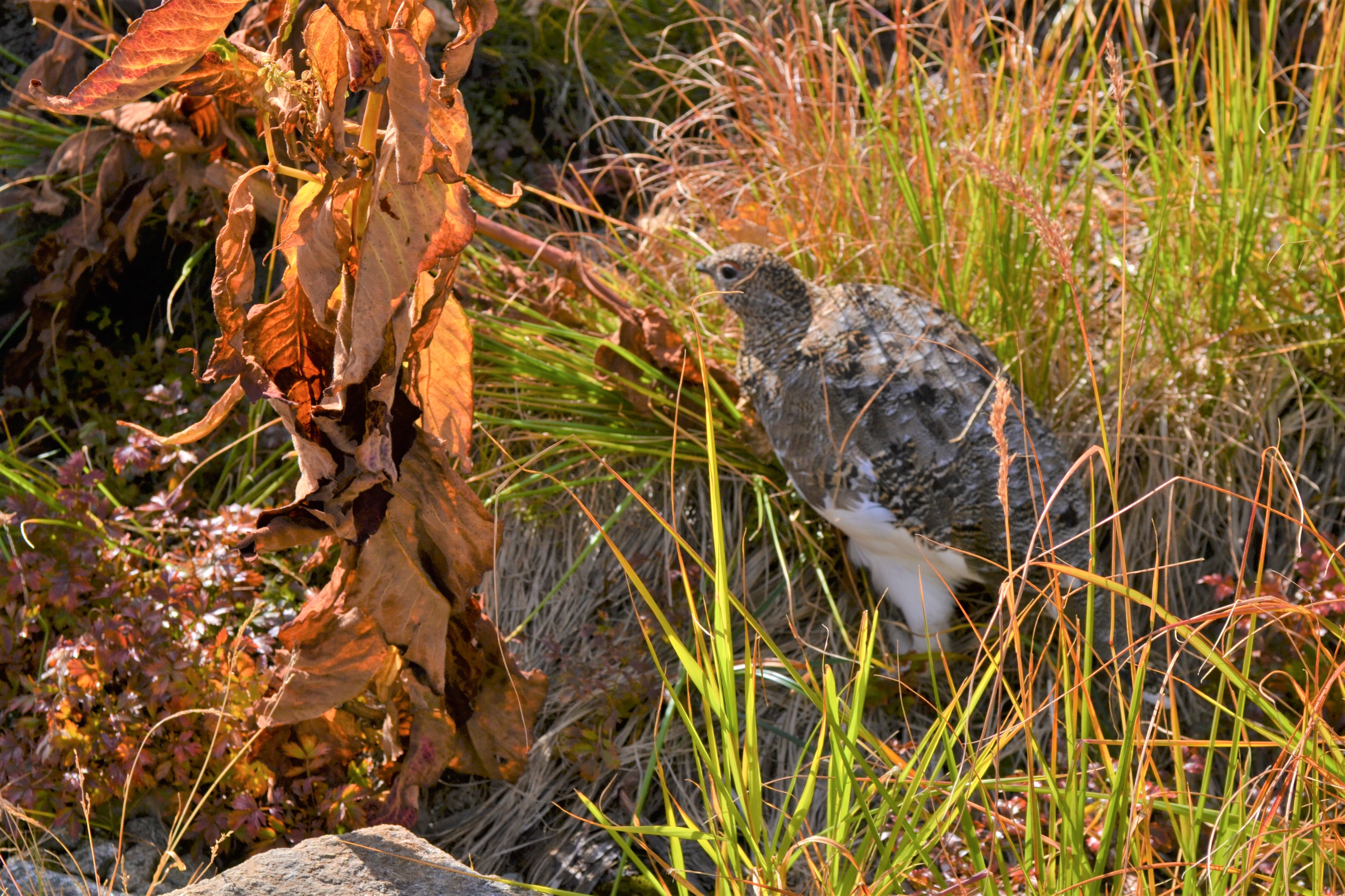
From Murodo terminal, head out to Raicho-sawa camping site via Mikuriga-ike Pond lakeside. From there, climb the steep slope in front of you and hike to Bessan-nokkoshi, where Tsurugi-gozen-koya Mountain Hut stands. From the camping site, cross a small bridge over Jyoudo river and start hiking on Raicho-saka. As its name says, there is a chance to witness Raicho or Ptarmigan. The steep slope continues. On the upper left corner, the ridgeline from Bessan-nokkoshi to Mt. Oku-dainichi-dake can be seen. On the right, the ridgeline from Mt. Osu-yama to Bessan-nokkoshi can be spotted. Further back, buses running on Tateyama road can be seen. Enjoy these views during the hard hike. When a building appears above your head, that is Bessan-nokkoshi. From the front of Tsurugi-gozen-koya Mountain Hut at Bessan-nokkoshi, the mountain, which many hikers long for, Mt. Tsurugi-dake can be seen. Its rough and masculine feature might take your breath away. There is a toilet available in front of the hut if you need it. On sunny days, the Japan Sea can be seen from the back of the toilet.
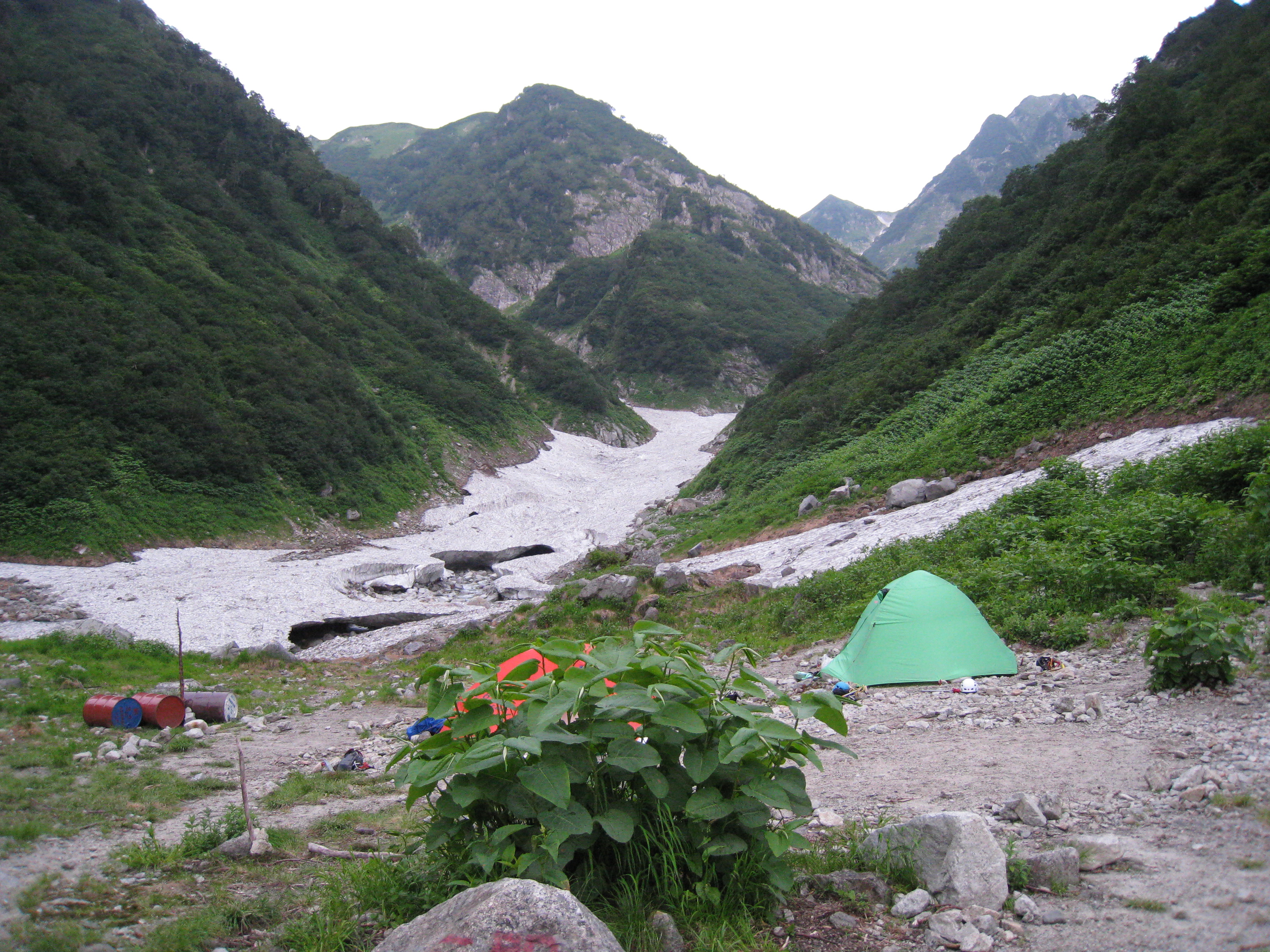
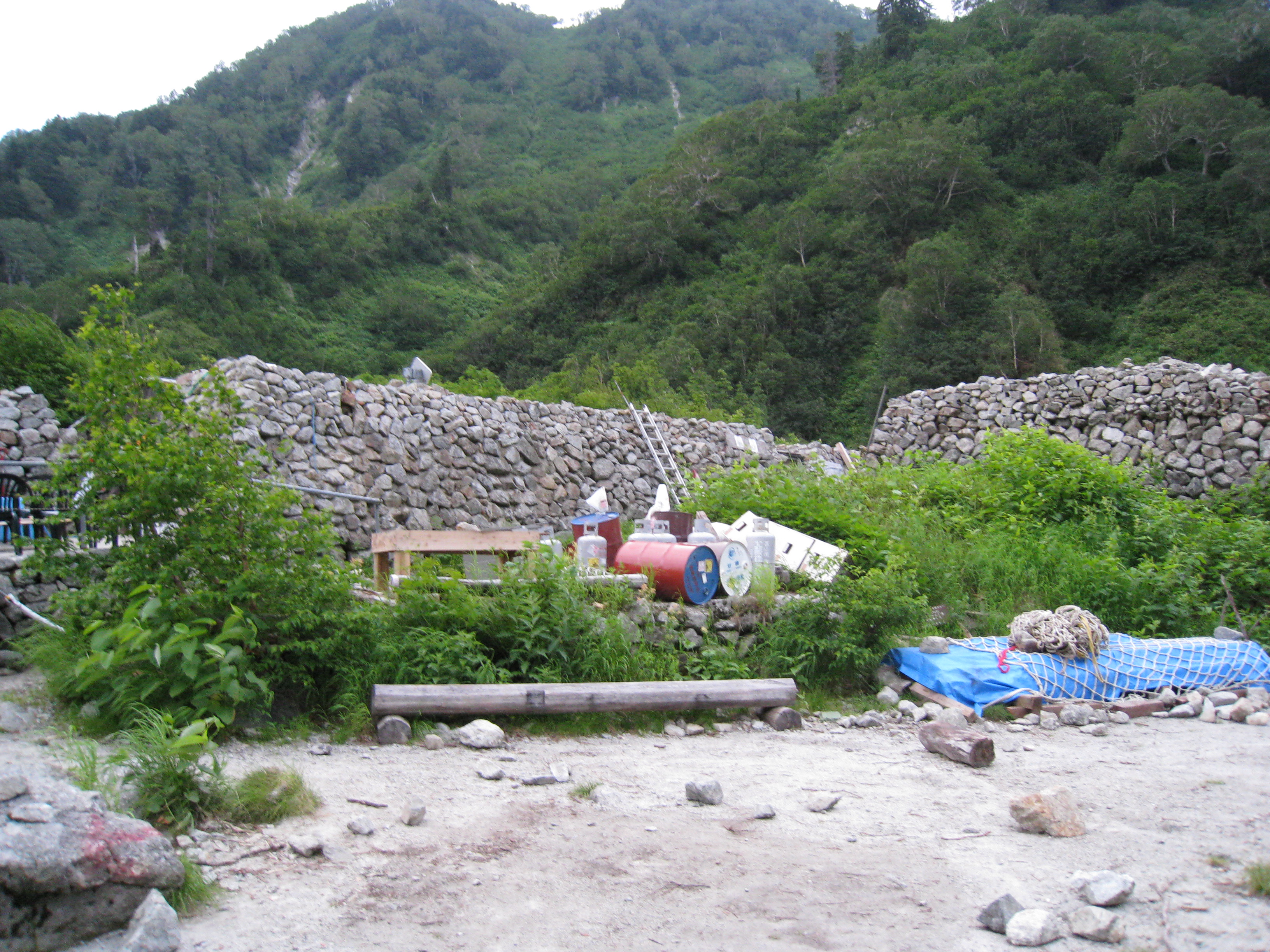
Descend the slope from Bessan-nokkoshi to Tsurugi-zawa camping site. Descend while admiring the overpoweringly strong figure of Mt. Tsurugi-dake. The trail is covered by gravel and rocks so be careful not to fall. The hut built of rocks appears in your sight. This is Tsurugi-zawa camping site. The building is the camping ground management center. During hiking season, the mountain rescue team of the Toyama prefectural police stay at the site. Many hikers relax in front of their tents. Tsurugi-zawa-koya Mountain hut will be reached after passing the camping site and descending for a while. It is recommended to stay at the hut for the night.
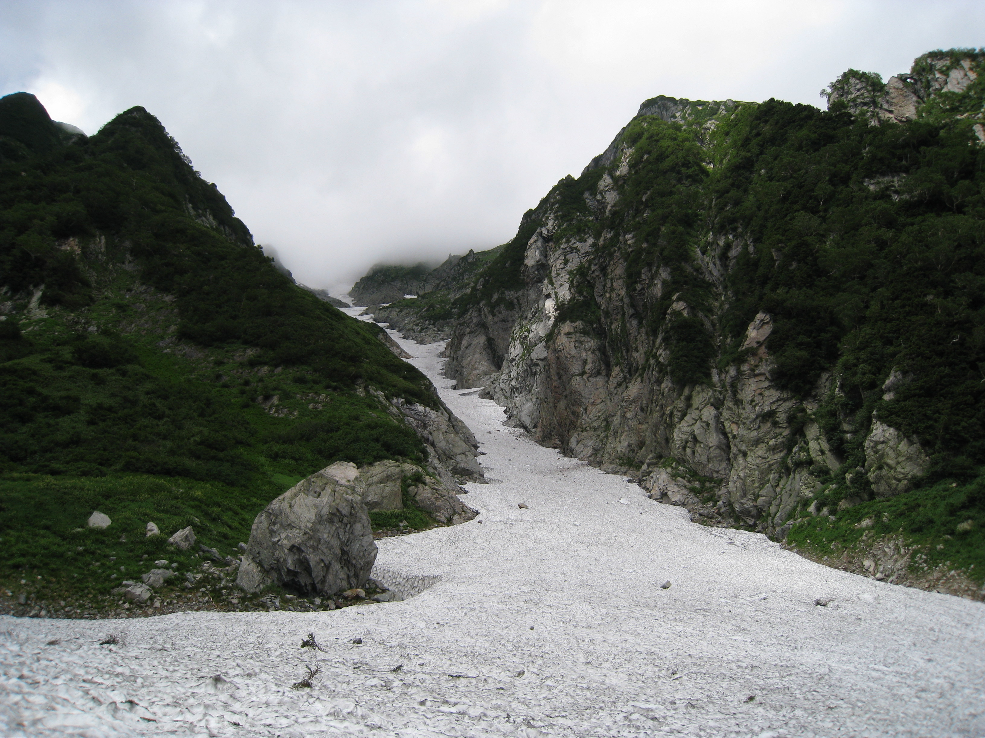
From Tsurugi-zawa-koya Mountain hut, the trail separates from the one going to Kenzan-so Mountain hut, the trailhead of Mt. Tsurugi-dake. Take the trail down to Tsurugi-sawa. It is a steep slope in a zigzag pattern. Be careful where placing your feet. On your left, the snowy valley of Tsurugi-sawa can be seen. When going down to the snowy valley, the descending point varies, depending on the remaining snow situation. Trace the footprints to descend. If you are not used to hiking on a snowy valley, you may use light crampons. On the upper left corner of your sight, the rocky peaks of Mt. Tsurugi-dake stand as if they are trying to stab the sky. That powerful view will take your breath away for a while. At Chojiro-detai, visit Chojiro valley and part from the experts heading to Mt. Tsurugi-dake. Cross the snowy valley and enter the summer road. Masago-zawa lodge will be reached after a while. It is recommended to stay at the hut for the following day. Collect the most updated information about the trail in the direction of Ikeno-daira before you depart the hut.
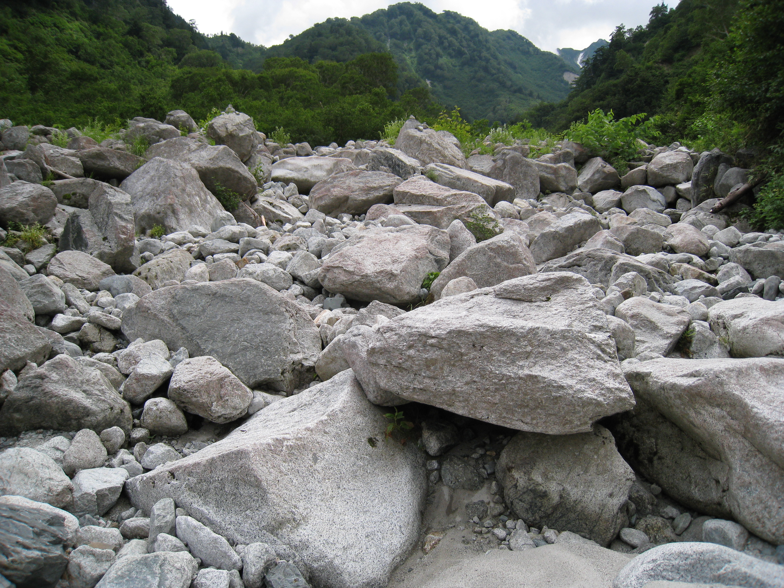
Beyond Masago-zawa lodge, it takes about 1 hour and 20 minutes to Kondo-iwa. The trail is built along the left bank of the stream of Tsurugi-sawa. Follow the paint marks. There are chains or ladders attached in areas where you need to go around rocks. Calmly proceed. The location where Kondo-iwa stands is called Futamata. It is the junction where the main stream of Tsurugi-sawa and the stream of Sanno-mado snowy valley meet. The fantastic view of the dynamic Sanno-mado snowy valley spreads out there.
From Futamata, proceed on to Sennin-shindo. The steep trail continues with no open views. At the top of the slope, Sanno-mado snowy valley or Yatsu-mine can be seen. From there, go on the narrow road along the ridgeline. On your left, Mt. Kashima-yari-gatake, which belongs to the Mt. Ushiro-tateyama mountains, can be spotted. Sanno-mado snowy valley and Komado-snowy valley also can be seen. After a while, Sennin pass will be reached. Take the left trail and head to Ikeno-daira. Flower fields spread out and you may enjoy the powerful figure of Mt. Tsurugi-dake. It is recommended to stay at the Ikeno-daira-koya Mountain hut.
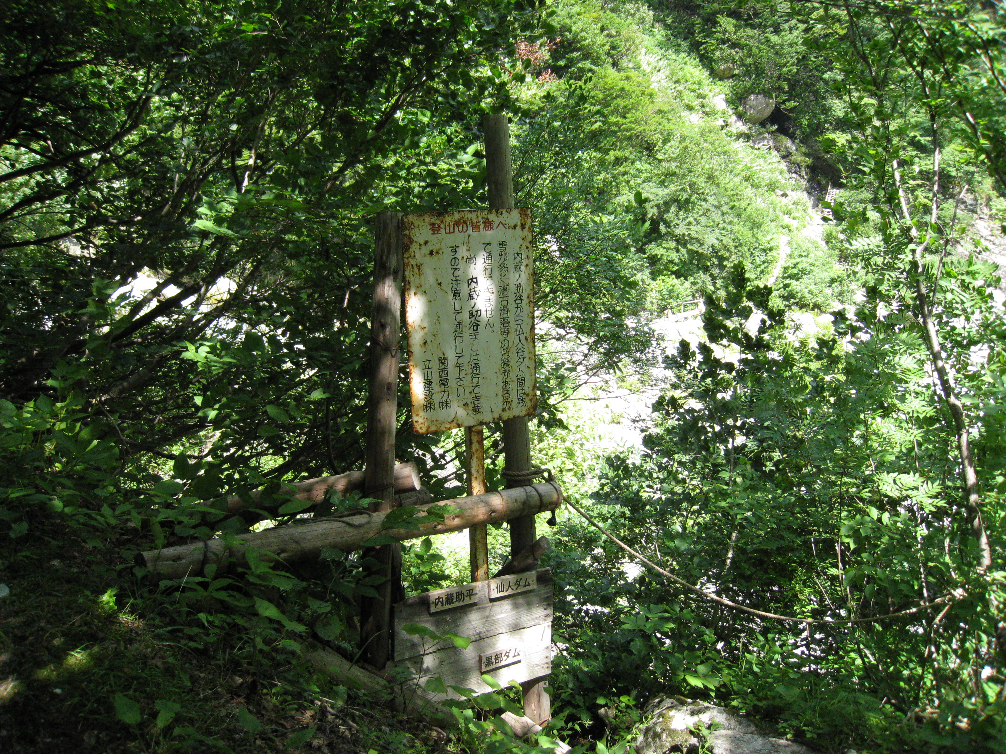
On the following day, return to Sennin pass and visit Sennin-ike. Then return to Hashigo-dani valley. Return on the route used for ascending to Masagozawa lodge and spend the night at the hut. The following day is the last day. From Hashigo-dani bridge, descend south to Kurobe Dam. From the Kurobe Dam, use the Tateyama-Kurobe Alpine route to Ougi-sawa. In this case, you will ride an electric bus; there, make sure that you check the last bus and schedule the trip accordingly. There is an outlook about 10 minutes away from Hashigo-dani-nokkoshi. You many look down Kuranosuke-taira and the view is phenomenal. The trail like a dried-up stream continues. It feels like you just keep walking. At Kuranosuke-taira junction, go to the left. It is hard to say that the trail is well maintained. Since the trail goes along Kuranosuke valley, use caution when the water level is high. There are also places where collapses occur, and ropes are attached. You need to be careful not to fall and to watch out for falling rocks. It is not recommended for beginners. At Kuranosuke-valley-deai, the trail separates to the left towards Shimono-rouka. The Mt. Masago-dake sign stands there. From there, head out to Kurobe Dam along the Kurobe river. In about 50 minutes, cross the Kurobe river and enter the trail. And then, you will reach an electric bus stop at Kurobe Dam.