Ura Ginza – Yomiuri-shindo Route
Nanakura Dam ~ Mt. Funakubo-dake ~ Mt. Eboshi-dake ~ Mt. Noguchi-goro-dake ~ Mt. Suisho-dake ~ Mt. Akaushi-dake ~ Kurobe Dam
Technical level: C
Physical strength: 10
Difficulty: ★★★★★
Hike on Ura-ginza ridgeline and Yomiuri-shindo
This is a gorgeous hiking route to visit the famous mountains in the south area of Kurobe lake in five nights and six days. The shortest walking hours for one day is 6 hours. The longest for a day is 8 hours and 40 minutes. Therefore, this route is categorized for experts, however, if you have physical strength and time, you should be able to hike through. The route connects the famous routes in the Alps, Ura-ginza and Yomiuri-shindo. This experience must become a memory for a lifetime.
※Be careful between Mt. Funakubo and Mt. Fudo because of severe collapse.
Access to Takase Dam & Nanakura-sanso mountain Hut
●Hiking data
Schedule: five nights and six days
Walking hours: 36 hours 5 minutes
Walking distance: 56.04 km
Cumulative elevation difference: 6,548 m
Nanakura Dam
Elevation 1,062m
↓ 5 hours 20 minutes
Tenguno-niwa
Elevation 2,453.5m
↓ 40 minutes
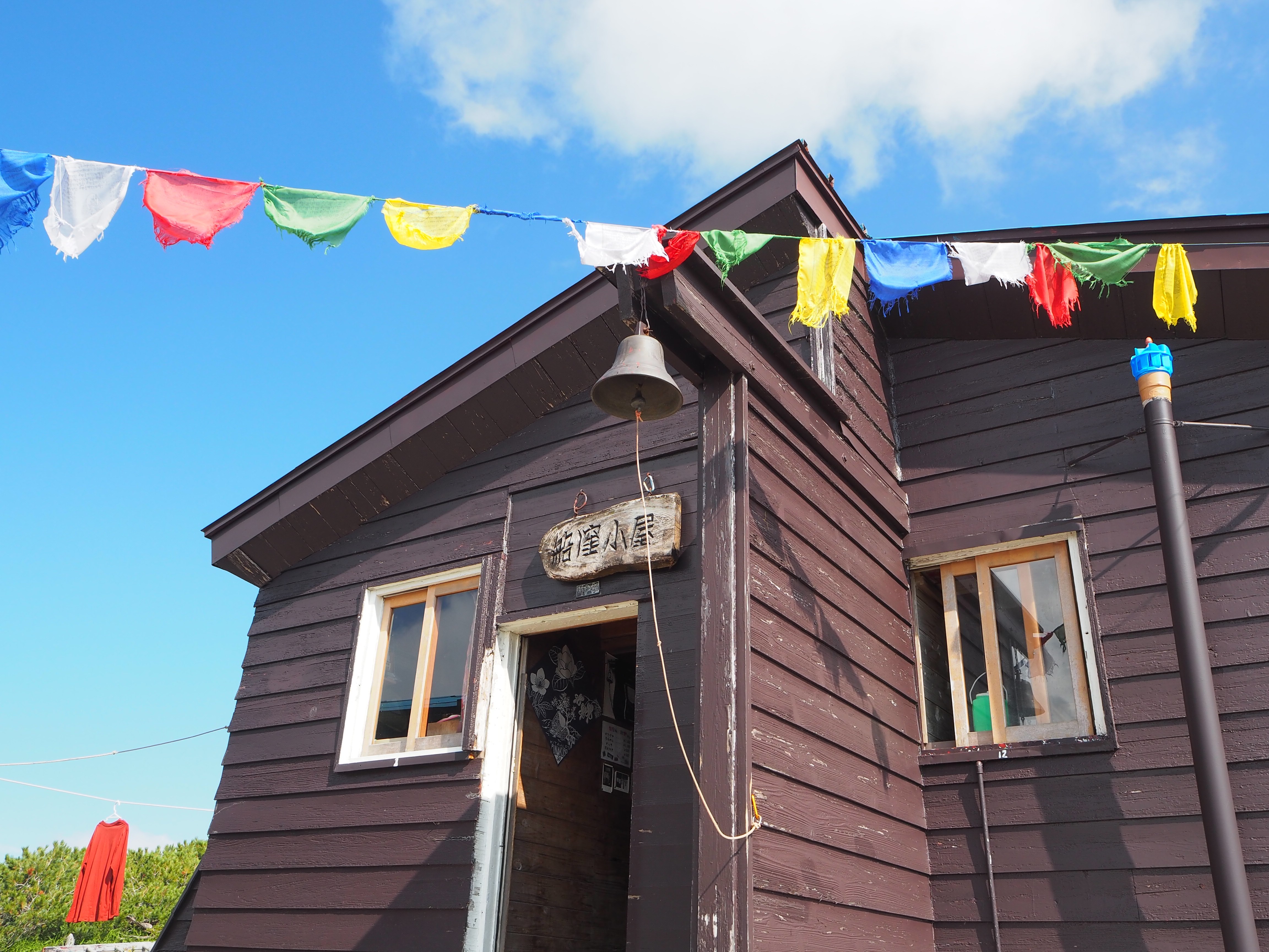
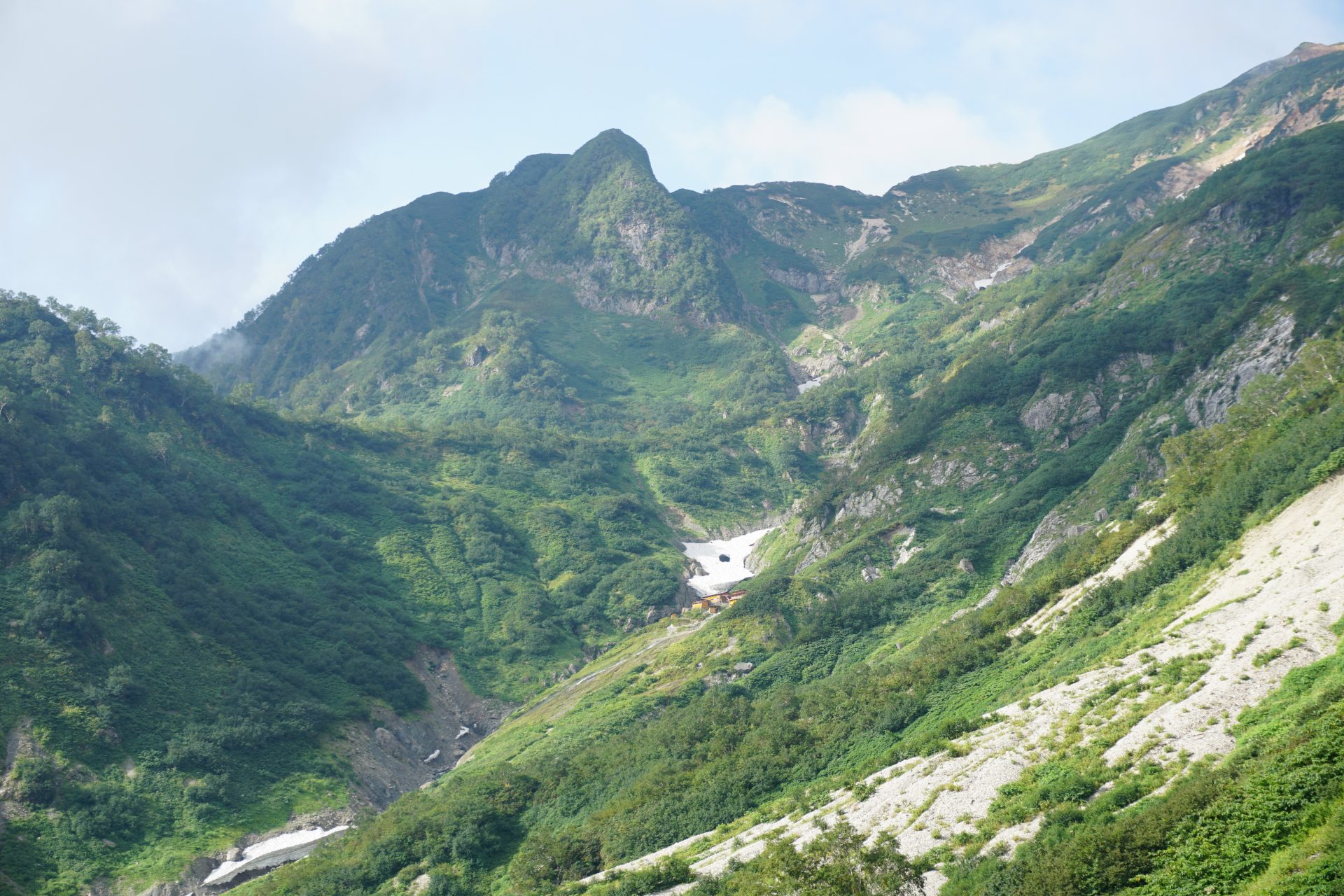
Funakubo-koya Mountain Hut

Elevation 2,461m
↓ 7 hours 20 minutes
Mt. Funakubo-dake
Elevation 2,459m
↓ 4 hours
Mt. Fudo-dake
Elevation 2,601m
↓ 2 hours 50 minutes
Mt. Eboshi-dake
Elevation 2,628m
↓ 30 minutes
Eboshi-koya Mountain Hut
Elevation 2,527m
↓ 3 hours 30 minutes
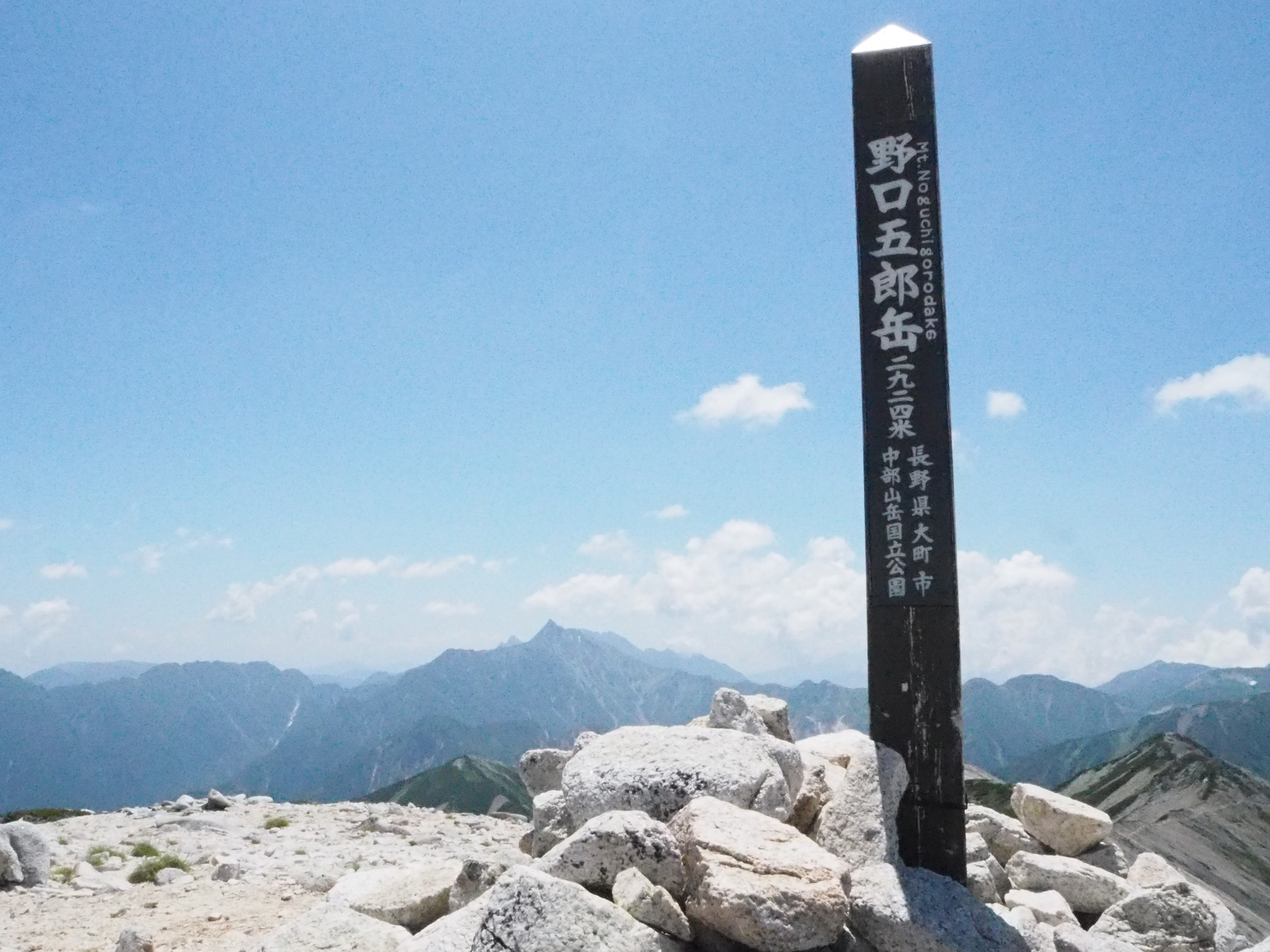
Mt. Noguchi-goro

Elevation 2,924.5m
↓ 2 hours 30 minutes
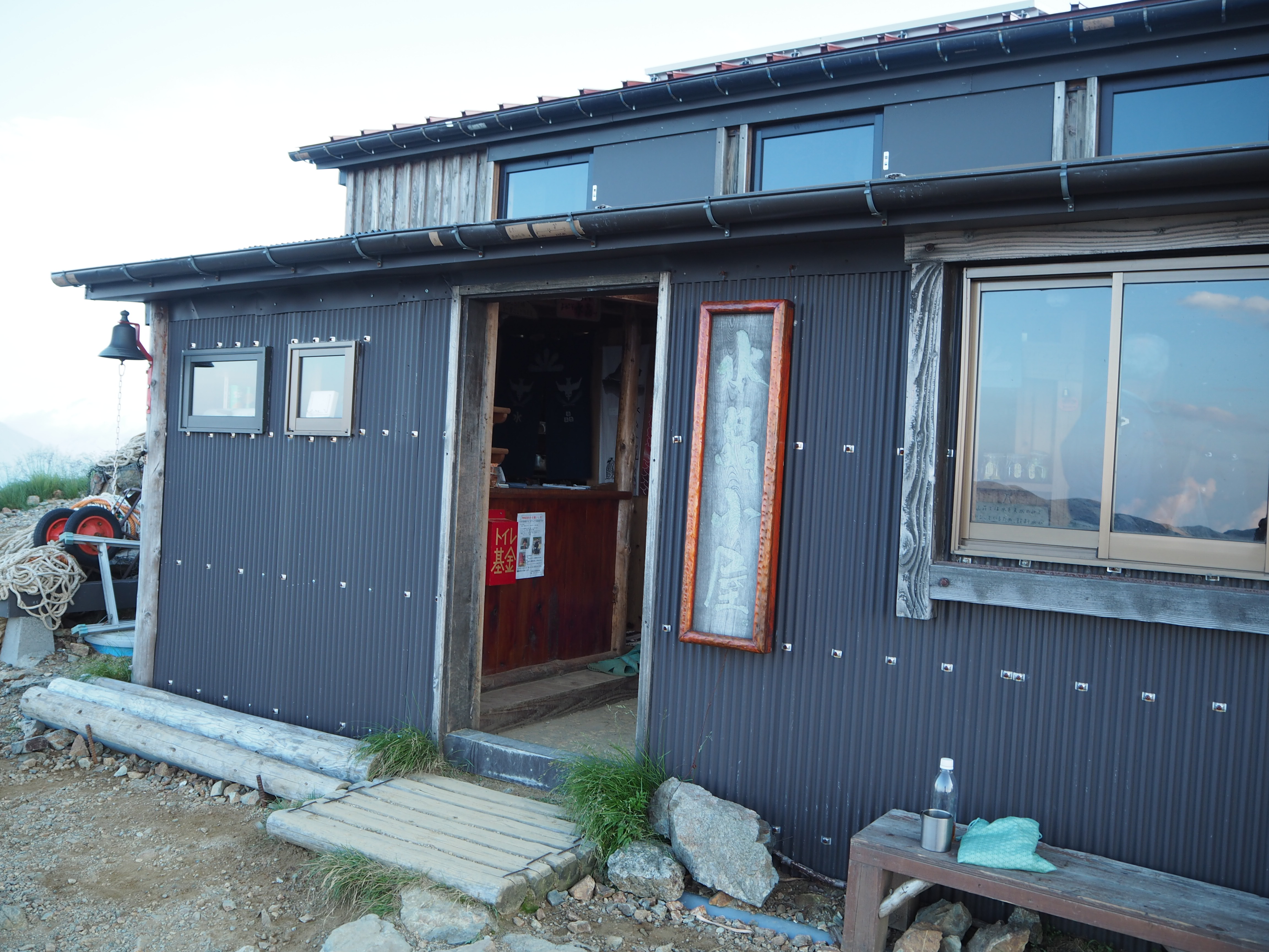
Suisyo-koya Mountain Hut
Elevation 2,905m
↓ 40 minutes
Mt. Suisho-dake
Elevation 2,986m
↓ 3 hours
Mt. Akashi-dake

Elevation 2,864m
↓ 5 hours
Oku-kurobe hut
Elevation 1,499m
↓ 3 hours
Taira-no-watashiba
Elevation 1,450m
↓ Ferry 5 minutes
Taira-no-koya Mountain Hut
Elevation 1,470m
↓ 4 hours 35 minutes
Kurobe Dam

Elevation 1,461m


Route Guide
It takes about 6 hours from Nanakura-koya Mountain hut, which stands at the trailhead of Nanakura Dam, to Funakubo-koya Mountain hut. On the map, you can tell that this trail is built on spots where spaces among contour lines are narrow. It means that the trail is very steep. Make sure that you keep a steady and comfortable pace while ascending. From the trailhead, follow the road signs to the ridgeline. The trail starts as a steep hill. No open view is available. In about two hours, a plain called Karasawa-nozoki, will be reached. This is the resting point. Proceed on the steep trail. The trail goes through an outcrop zone or an area covered by tree roots. The area where a series of long and short chains are attached is called Hanatsuki-hattcho. Pass this spot and continue. The plain, called Tengu-noniwa, will be reached when large trees decrease. Takase Dam spreads out below your eyes and Mt. Eboshi-dake and Mt. Noguchi-goro-dake can be seen as well. Funakubo-koya Mountain hut will be reached after 40 minutes of hiking on the ridgeline from Tengu-noniwa. The trail has a great view.
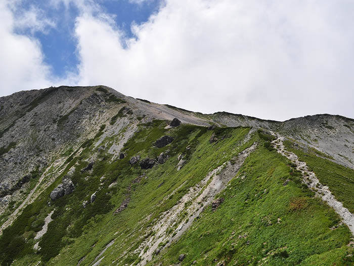
On Day 2, start from behind Funakubo-koya Mountain hut. Descend the trail while avoiding the collapsing ground on the Fudou-sawa side and take the right trail towards Harinoki-dani at Funakubo-nokkoshi. The trail is very steep, where ladders and wires are attached instead of ropes. The second peak of Mt. Funakubo-dake is especially steep so great caution must be practiced. Take your time when ascending. There are many rocky zones as well, therefore, it is important to remain focused. After passing the second peak and descending once, the trail ascends again. A hazard zone will be over after passing spots where ropes and wires are attached. The trail reaches to an uphill to Mt. Fudou-dake after passing the coniferous forest zone. The summit of Mt. Fudo-dake is long in a north-to-south direction. From the summit, Mt. Tsurugi-dake and Mt. Tate-yama can be viewed. Proceed on the ridgeline. After passing Mt. Minami-sawa-dake, the trail enters into the area where many ponds can be found. The area is called Eboshi-tanbo. The trail comes to Mt. Eboshi-dake junction. Take the right trail and pass the area where chains are attached, then the summit of Mt. Eboshi-dake will be reached. Descend about 30 minutes then Eboshi-koya-Mountian hut, the hut for the second night, will be reached. Bunatate O’ne on the left comes from Takase Dam.
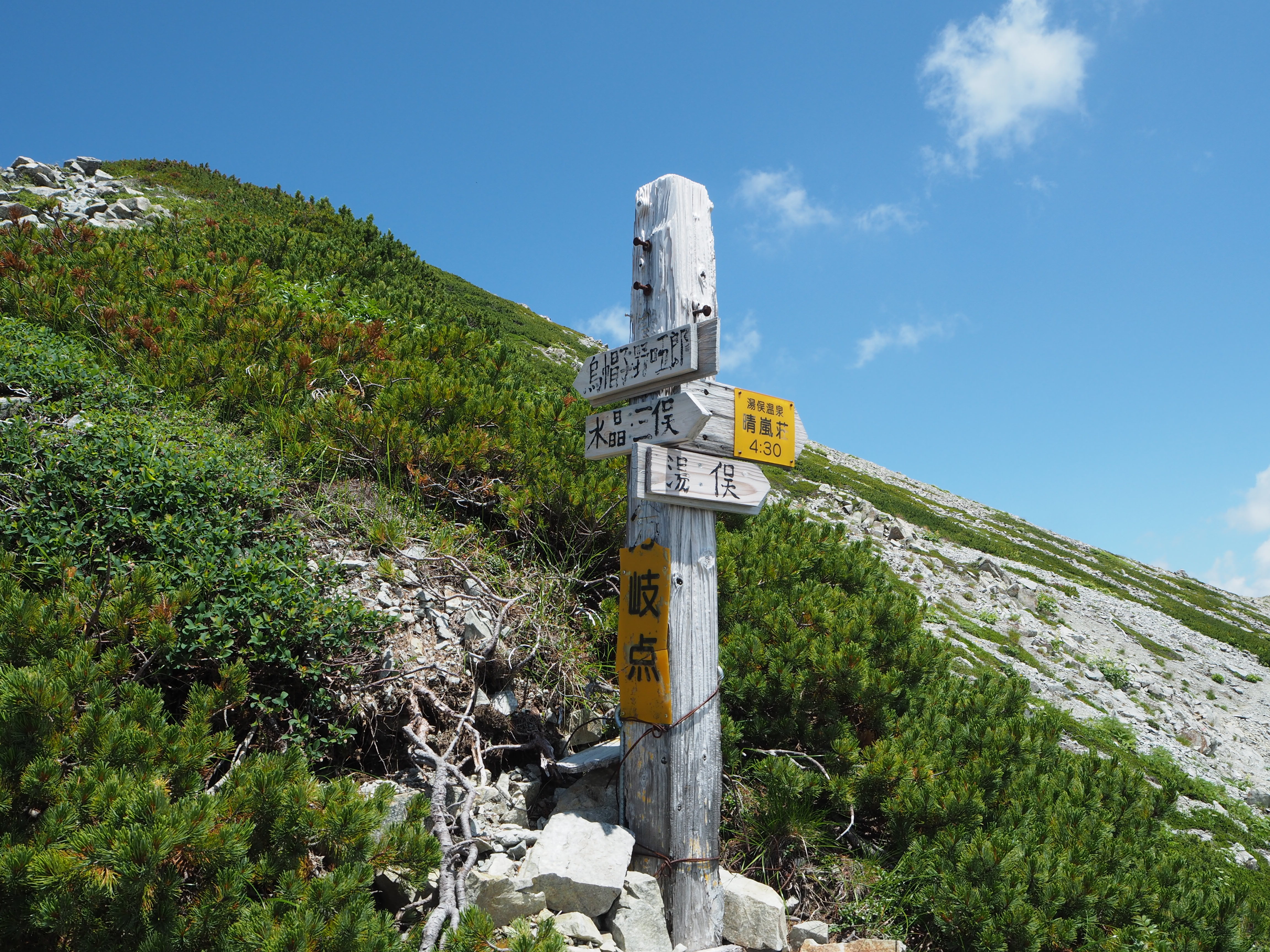
From Eboshi-koya Mountain hut, descend to the saddle via a camping site, and then ascend again towards Mt. Mitsu-dake. The slope becomes less steep when you come right below the summit. Proceed on the trail, which avoids the summit. The trail becomes covered by Pinus Pumila. Mt. Noguchi-goro-dake will be seen in your direction. On the right hand, Mt. Akaushi-dake and the giant shape of Mt. Suisho-dake can be viewed. Noguchi-goro-koya will be reached after you pass the rocky zone. Proceed on the trail and pass another rocky zone, then the summit of Mt. Noguchi-goro-dake is reached. From the summit, hike on the gravel road on the west side of Mt. Masago- dake then Masago junction will be reached. The trail coming from the left is Takemura-shindo, ascending from Yumata hot spring. Go straight on Masago junction and hike through some gradual ups and downs to Higashi-sawa-nokkoshi. It is a wide place and nice for resting. From this point, the trail becomes slightly steeper. Ascend on the gravel road about 40 minutes to Suisho-koya-Mountain hut. It is recommended to stay at the hut for the third night.
The junction where Suisho-koya-Mountain hut stands is where the trail from Mt. Washiba-dake meets. Surprisingly, many hikers visit here. The hut is not so big; therefore, it gets remarkably busy during high season. There is no camping site available. From here, the trail ascends to the summit of Mt. Suisho-dake for 40 minutes. The summit will be reached when the trail becomes steeper from the gradual slope. The summit is not wide. Rocks are piled up at the summit. The view is phenomenal, and a 360-degree view can be enjoyed. Enjoy the view as long as possible. From Mt. Suisho-dake, hike on Yomiuri-shindo to Kurobe lake. The trail is mainly descending; however, the trail has many spots that require your caution such as unstable trails, graveled areas, or areas that you need to watch out for falling rocks. Descend 1,500 m elevation from Mt. Suisho-dake to Taira-no-watashiba.
A descending route from Mt. Suisho-dake is covered by gravel and it is fairly slippery. Proceed with caution to avoid falling. When the trail becomes a gradual slope, Onsen-sawano-kashira is reached. At the junction, the left trail takes you to Takama-gahara. Proceed on the ridgeline with an open view. Pass two small peaks and the summit of Mt. Akaushi-dake is reached. Descend the ridgeline on the right from here. Ropes are attached on the trail so take your time to proceed. Kurobe lake will eventually come into sight in your direction. It is a long descending route. Rest accordingly. When the trail enters into the forest zone, it will get covered by tree roots or moss-covered stones. It becomes slippery. Walk with caution when passing areas with chains or ladders. When the trail becomes gradual, Oku-kurobe hut will be reached. It is recommended you stay at the hut for the fourth night.
The most updated information about the descending route from Oku-kurobe hut to Kurobe river must be obtained in advance at the hut. There are some collapsing places along the trail and many ups and downs with the use of ladders. Great caution must be practiced. Take a ferry to Taira-no-koya Mountain hut from Taira-no-watashiba. Ferries run only 4 round trips a day from June 20th to October 31st. Make sure that you check the schedule in advance. It is recommended to stay at Taira-no-koya Mountain hut across Kurobe lake for the fifth day. If you miss the last ferry from Taira-no-watashiba, go to the emergency shelter, which locates in a short walk distance towards the Minami-sawa-deai area. Stay overnight at the shelter and take the first ferry the next morning. Walk to Kurobe Dam.
From Taira-no-koya Mountain hut, walk along the lake side to Kurobe Dam. The view of Kurobe lake is great, however, there are points that require the use of ladders or force you to go around difficult falls or rocky zones to pass and proceed. You must stay focused. When crossing the wide riverside, be careful not to miss marking tapes. The trail separates to the left just ahead of Lodge Kuroyon, however, go straight on the trail along Kurobe lake and then Kurobe lake Dam will be reached. From there, take an electrical bus to Ougi-sawa station.