Misaka Pass Route
Misaka pass 〜 Panorama summit 〜 Torigoe pass 〜 Mt. O-ban-yama 〜 Mae-miya course junction 〜 Ena-san sancho hut 〜 View point deck
Technical level: B
Physical strength level: 3
Difficulty level: ★★
This is a route with excellent views starting from Misaka pass at an elevation of 1,569 meters. There are some ups and downs.
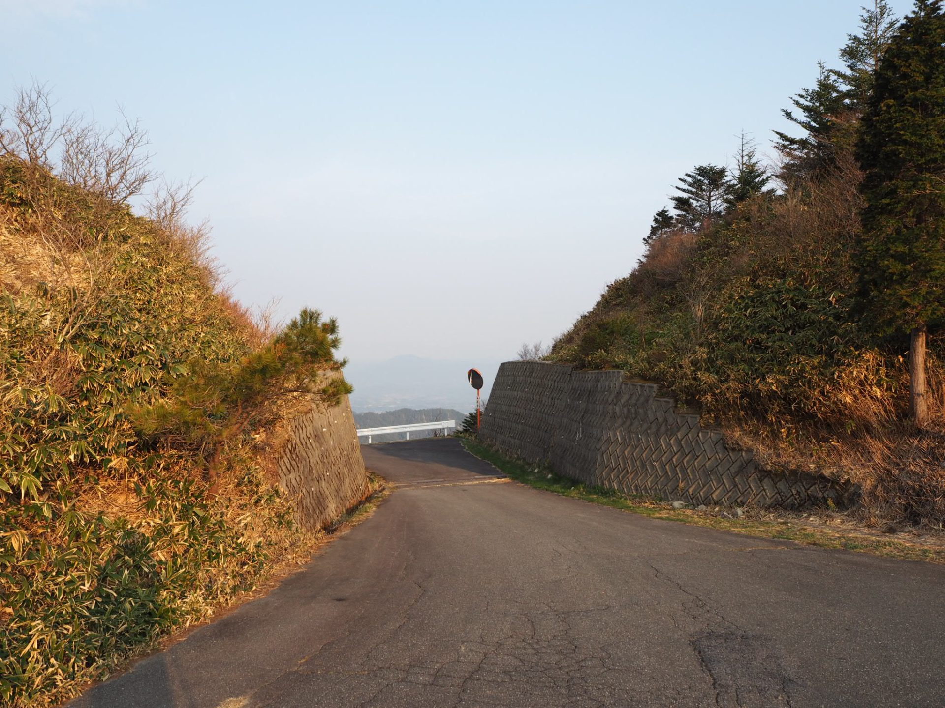
The parking lot at the pass fills up quickly. If you park on the forest road in front of the pass, please park carefully so as not to interfere with traffic on the road.
The road is closed for the winter until late April. Please contact Nakatsugawa City Hall for details.
●Hiking Data
Schedule: day trip
Walking hours: 8 hours 50 minutes (5 hours up, 3 hour 50 minutes down)
Walking distance: 12.7 km
Difference in elevation: 980 m
Misaka Pass

Elevation 1,569m
↓ 30 minutes
Panorama summit
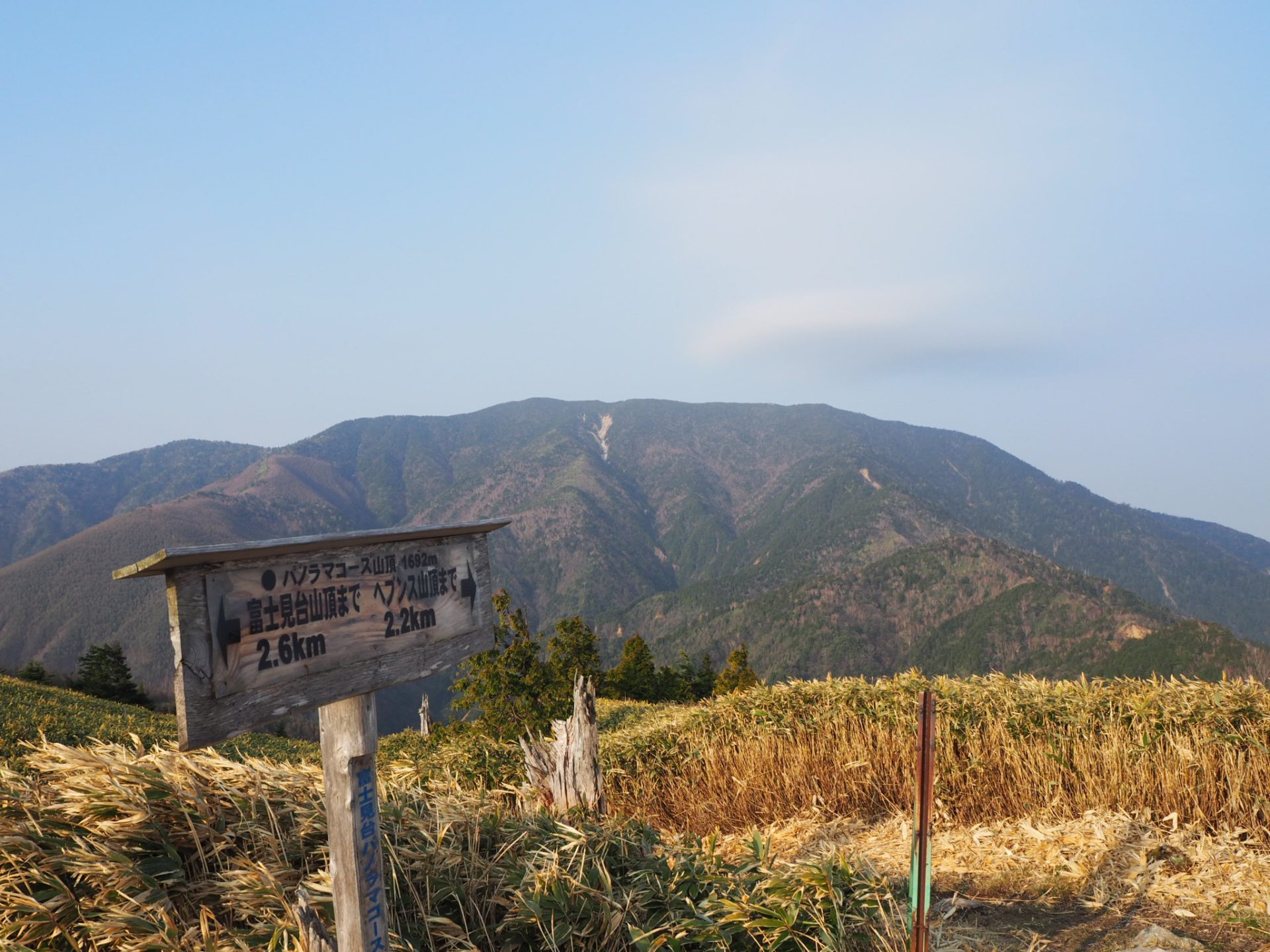
Elevation 1,685m
↓ 30 minutes
Torigoe Pass
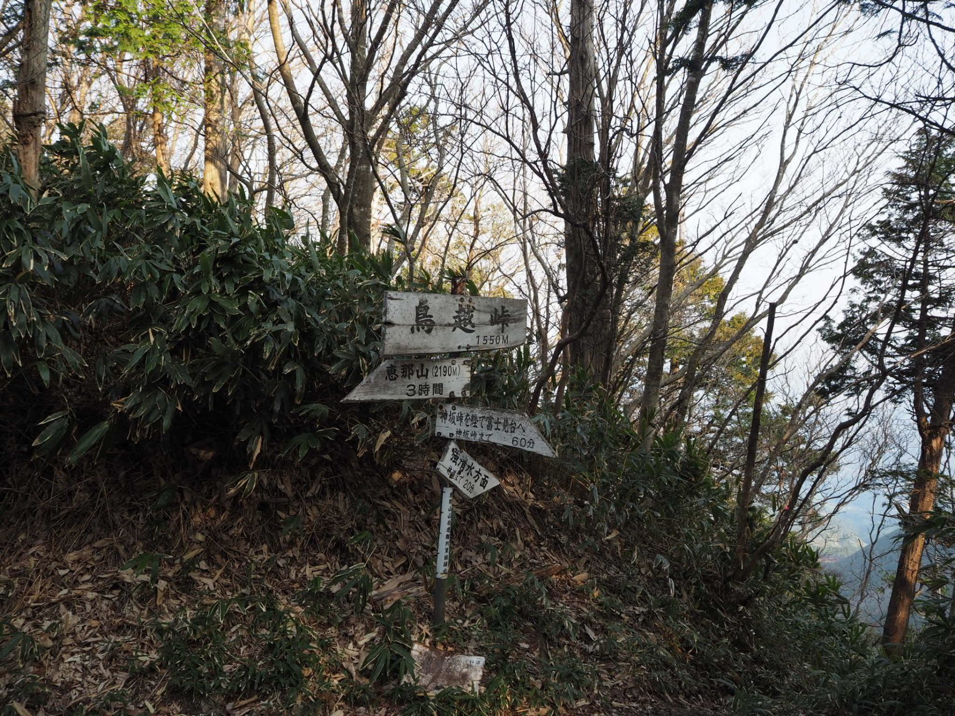
Elevation 1,544m
↓ 1 hour
Mt. O-ban-yama

Elevation 1,696.3m
↓ 1 hour
Tengu Nagi

Elevation 1,820m
↓ 1 hour
Maenomiya course junction
Elevation 2,175m
↓ 20 minutes
Mt. Ena-san sancho hut
Elevation 2172m
↓ 10 minutes
Mt. Ena-san view point Deck
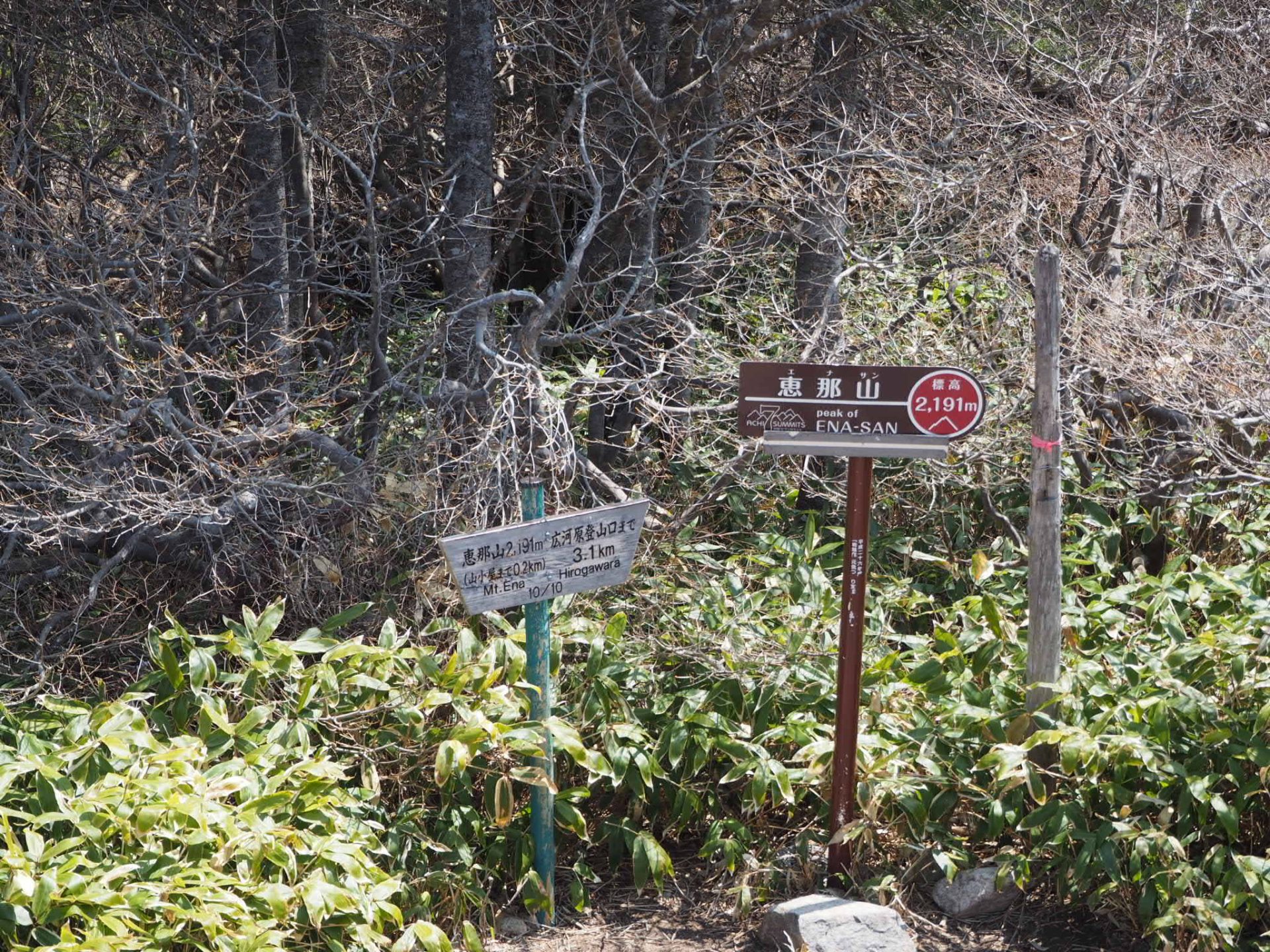
Elevation 2,191m
↓ 30 minutes
Maenomiya course junction
Elevation 2,175m
↓ 2 hours 30 minutes
Torigoe Pass
Elevation 1,544m
↓ 50 minutes
Misaka Pass
Elevation 1,569m
Route Guide
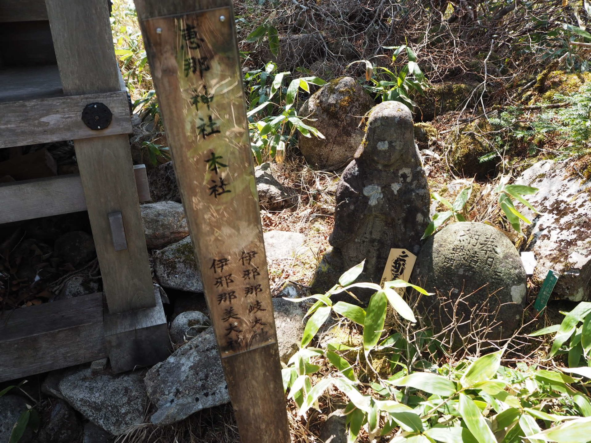
Misaka Pass is said to have formed part of the Higashiyama Road connecting Shinano and Mino since ancient times, and to have been a place that Yamato-takeru-no-mikoto(The Legendary Royalty) passed through on his way home from his expedition to the east. Ritual remains have been discovered in the nearby Temukai-gaoka area, which has a long history. This is the starting and goal point of the tour.
This is the starting and finishing point.
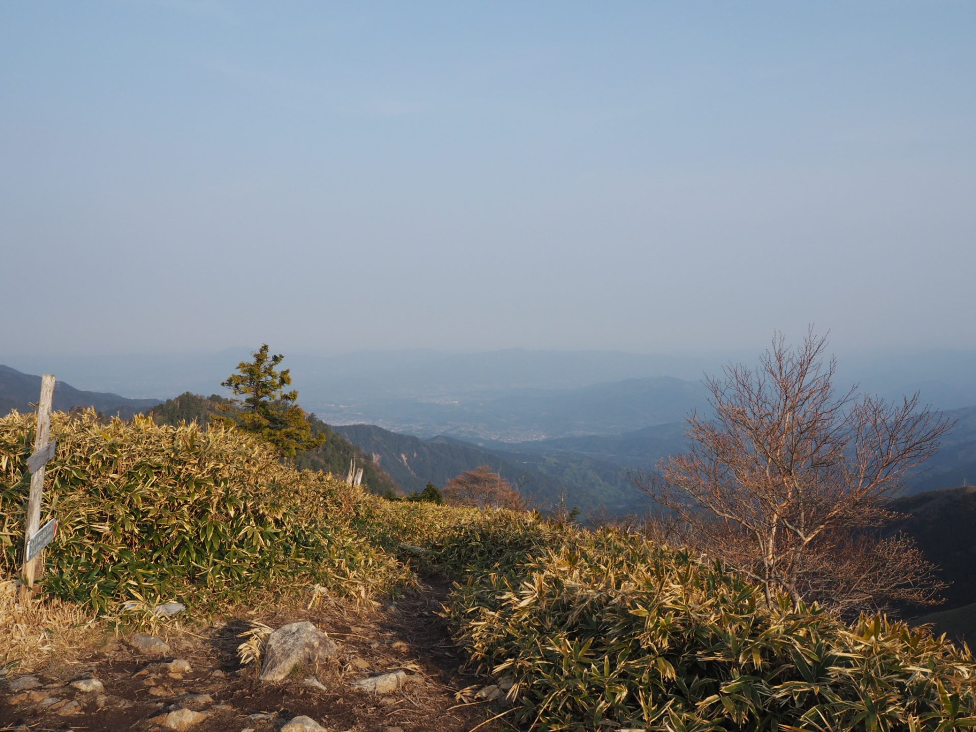
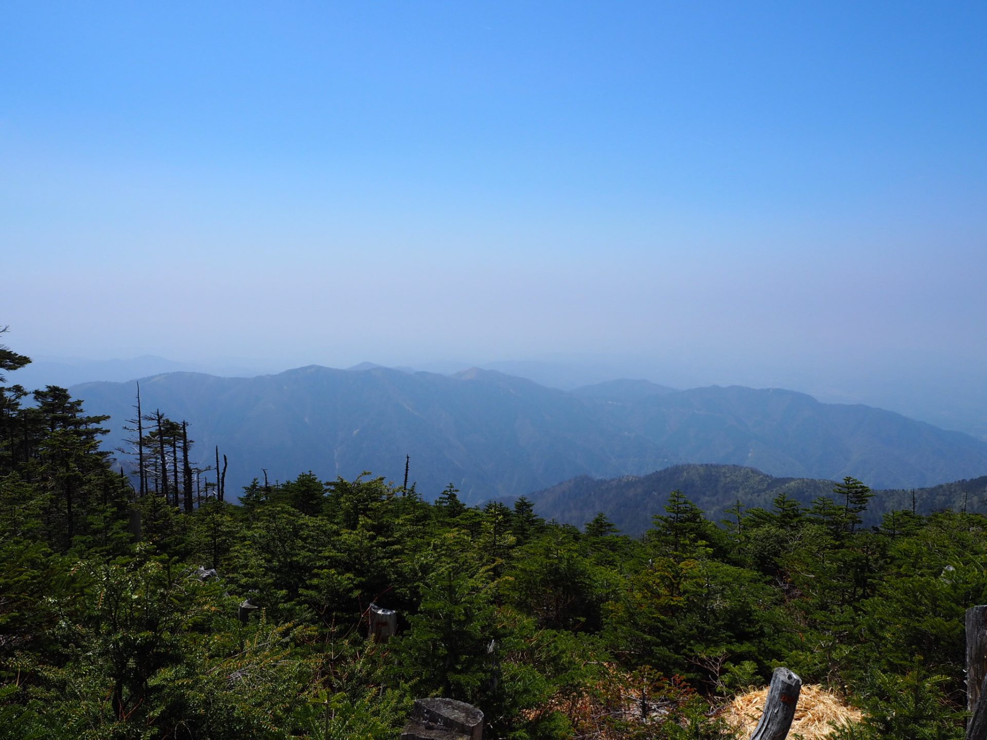
We will do some warm-up exercises before starting on the trail. This route is blessed with a great view, so if you climb on a clear day, your memories will be doubled. Early in the morning, you can see the Ontake mountains covered by a sea of clouds and the Hakusan mountains in the distance.
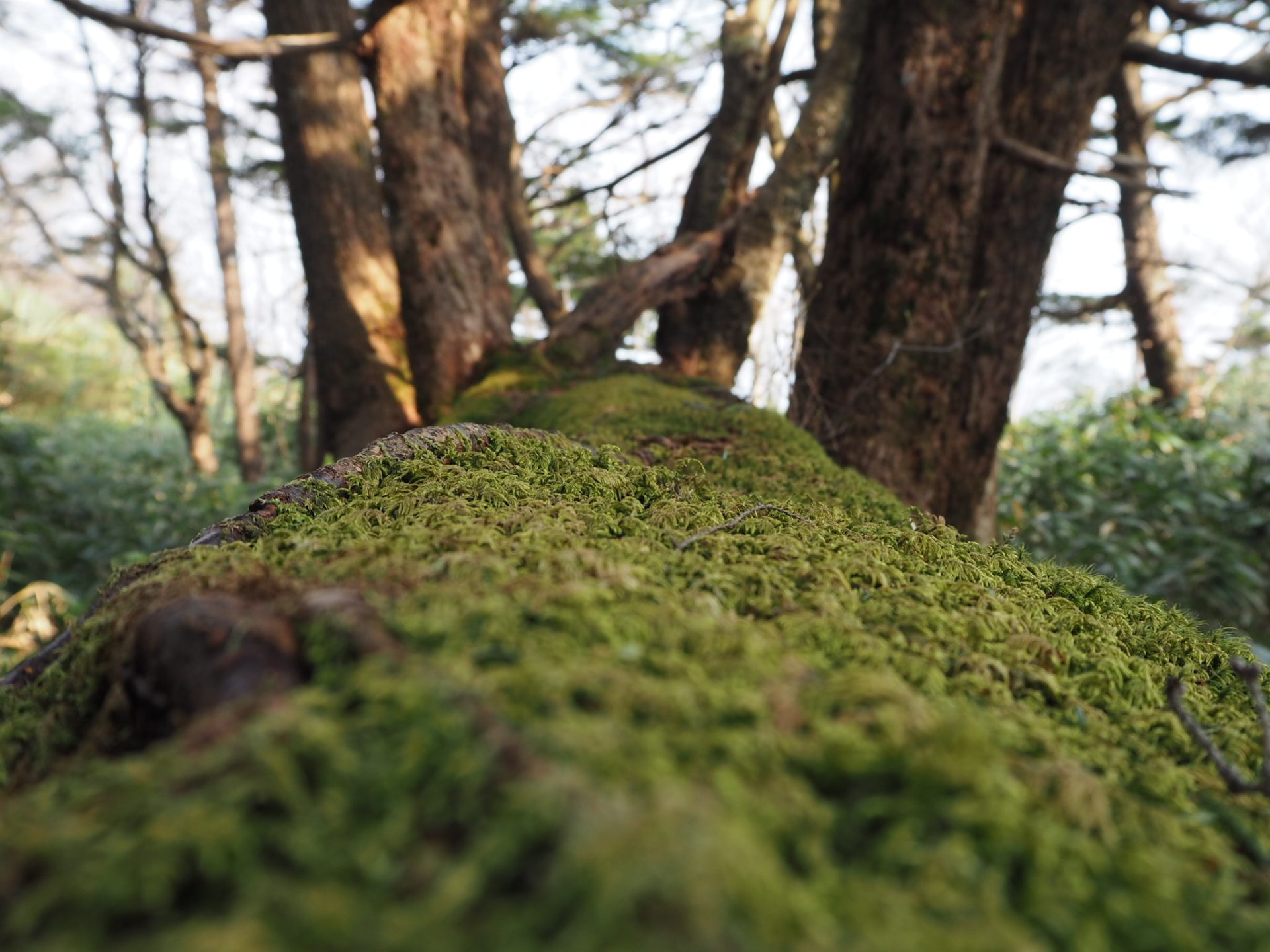
We will start a pleasan walk on the ridge. You will see a large mountain body in front of you. This is Mt. O-ban-yama It looks so large that it is hard to tell where the summit is. Torigoe pass is where the signpost for Goshimizu stands. From here, we will continue on a gentle path that extends to the border between Nagano and Gifu prefectures. Alpine plants such as the Japanese silver birch and the baika lily are blooming underfoot. Take a break at the O-ban-yama where you can enjoy a good view of the Southern Alps. Don't forget to drink water.
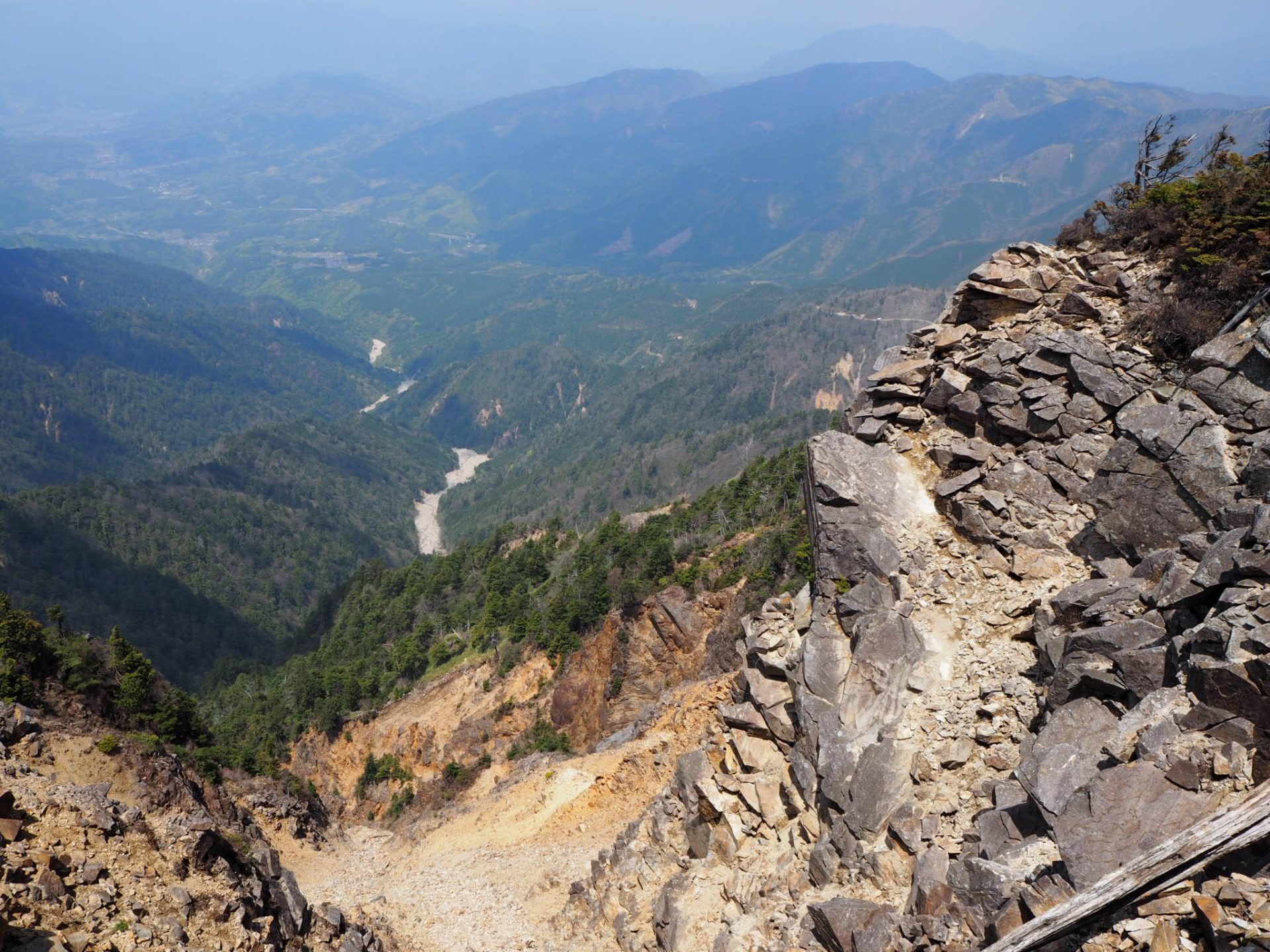
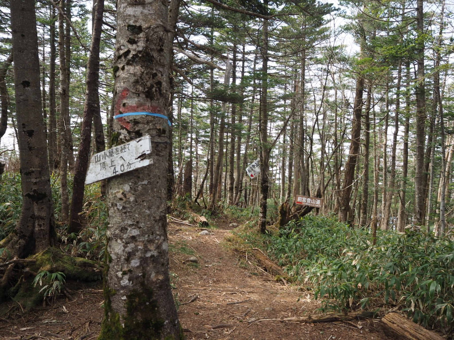
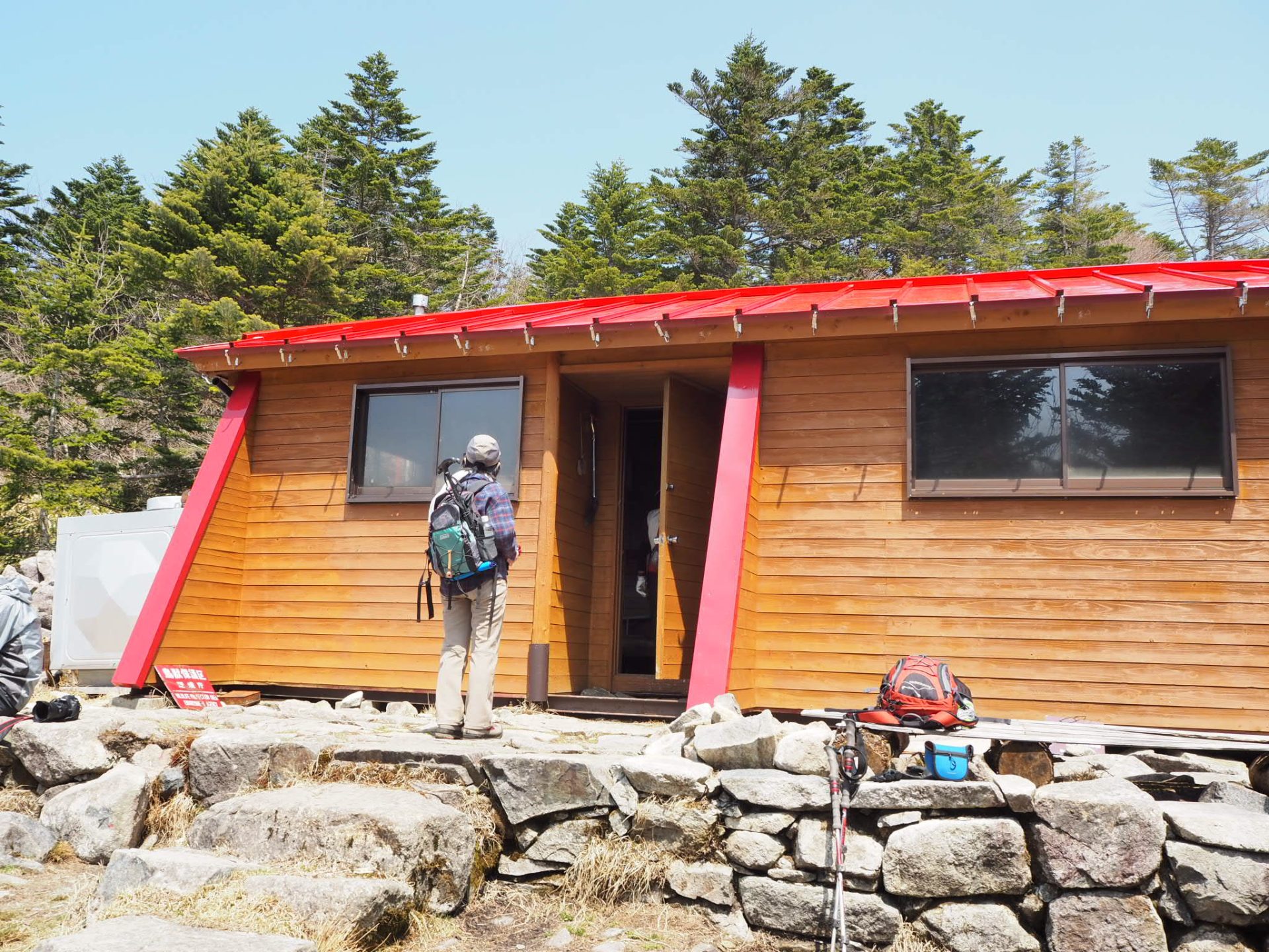
After descending slightly from Mount O-ban-yama, climb steeply toward Tengu Nagi. Take a break and keep going. After a short rest in the Kodama area before Tengu Nagi, start the ascent. There is a section where one side is cut off, so pass through it carefully. Be careful if you are wearing short pants. After passing the Tengu Nagi area, the slope becomes steeper, but once you clear this area, you will reach the summit ridge line. Proceed slowly and do not be in a hurry. Turn left at the Maemiya course/Misaka pass route junction, which is the junction with the Maemiya course. Continue along the gentle ridge. This is a path with an excellent view of the Ontake mountains, Norikura mountains, the Hotaka mountains, and the Southern Alps. The summit of Mt. Ena-san is just past the beautiful Mt. Ena Shrine, and a small observation deck stands just beyond it. The summit hut is equipped with flush toilets. After enjoying a leisurely lunch and the view, return to the outward route.