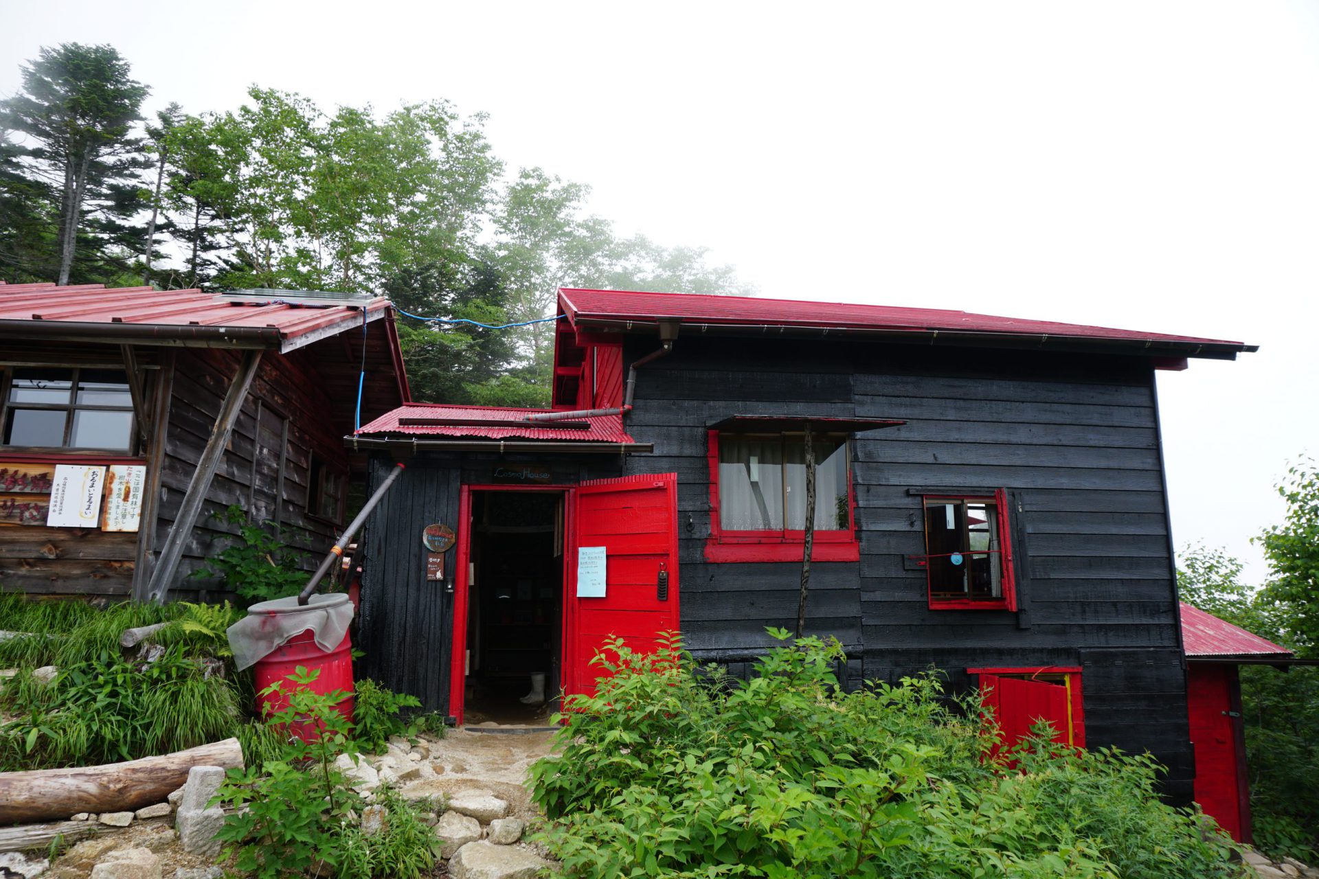
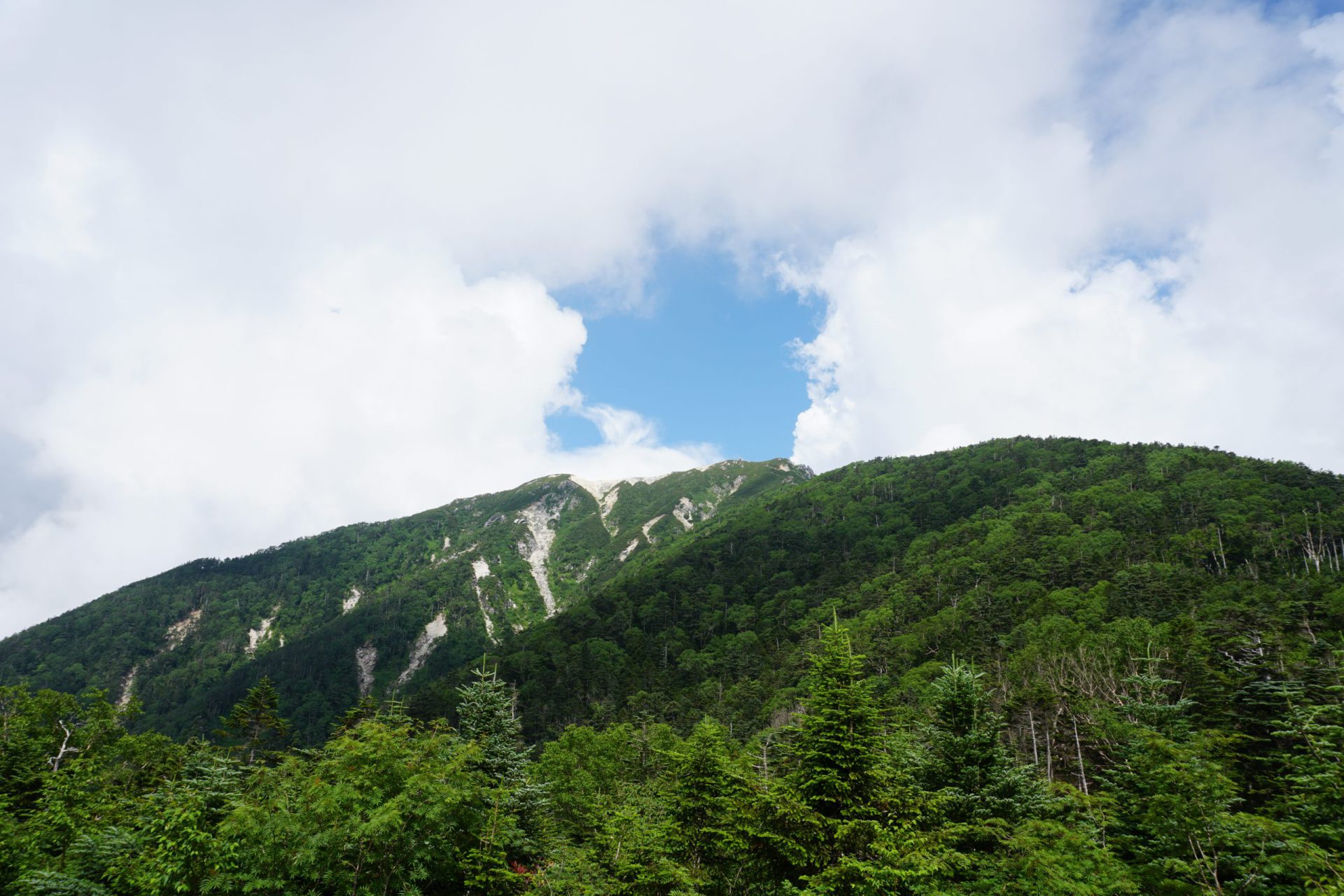
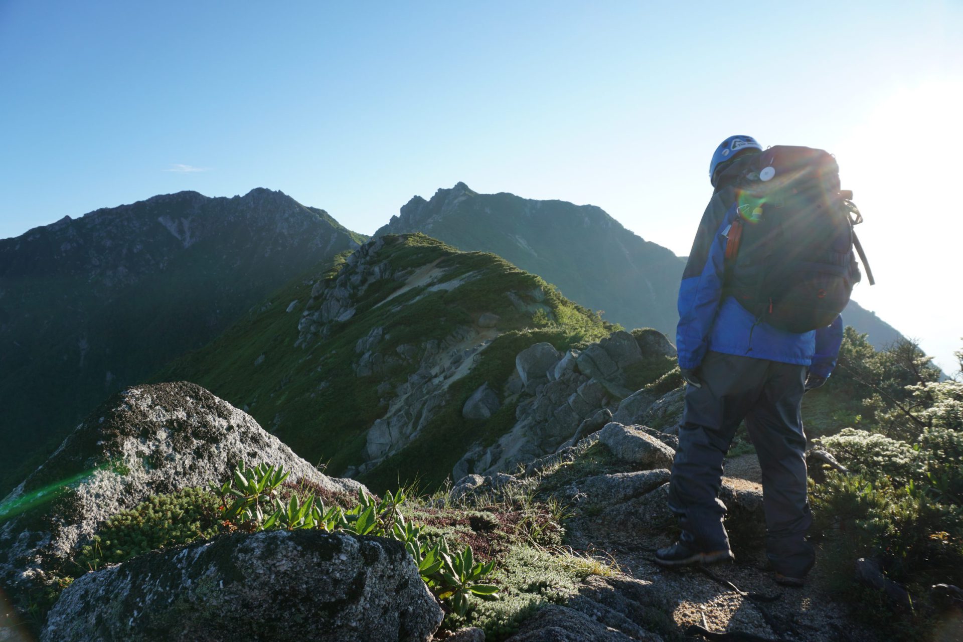
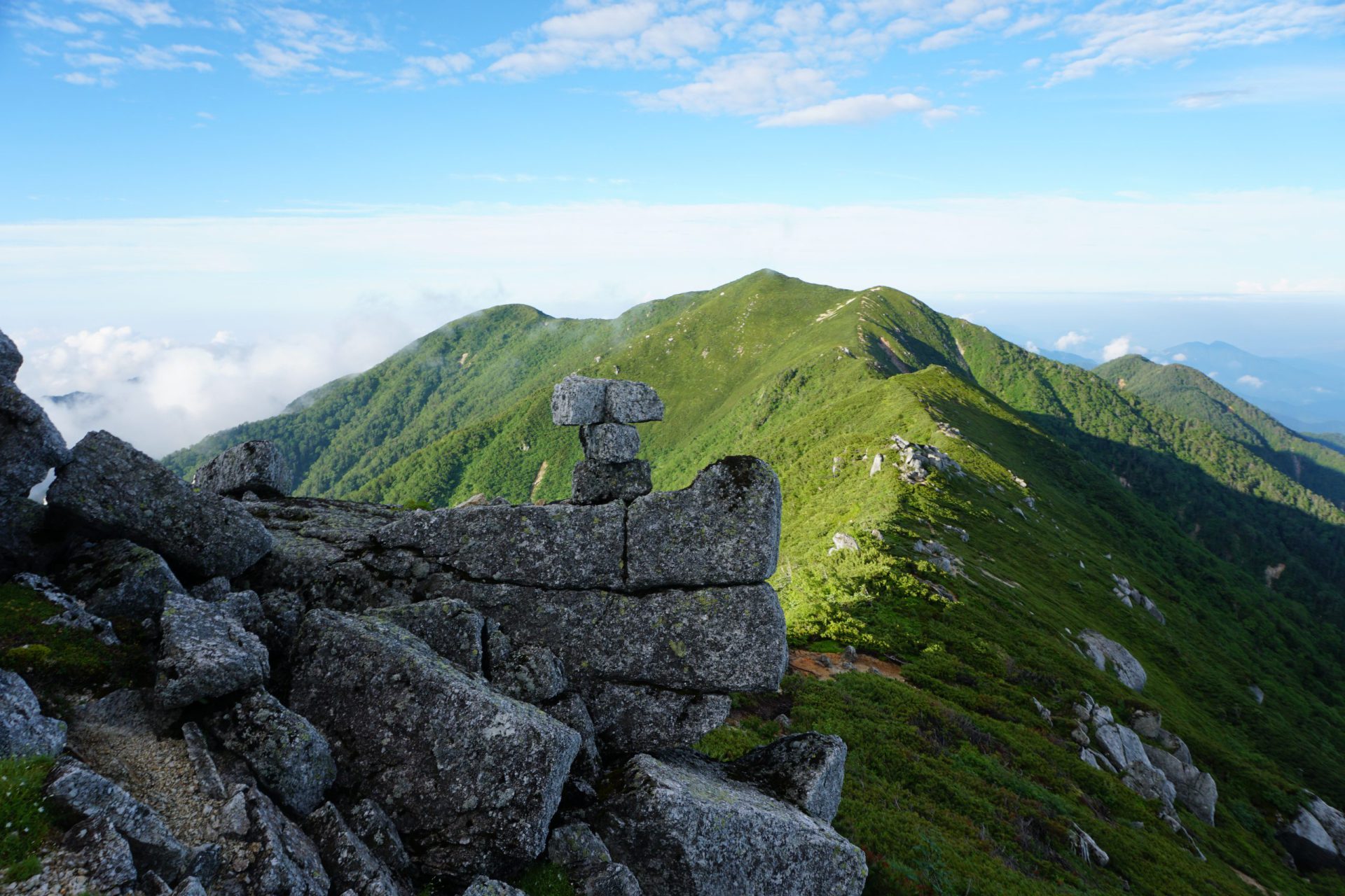
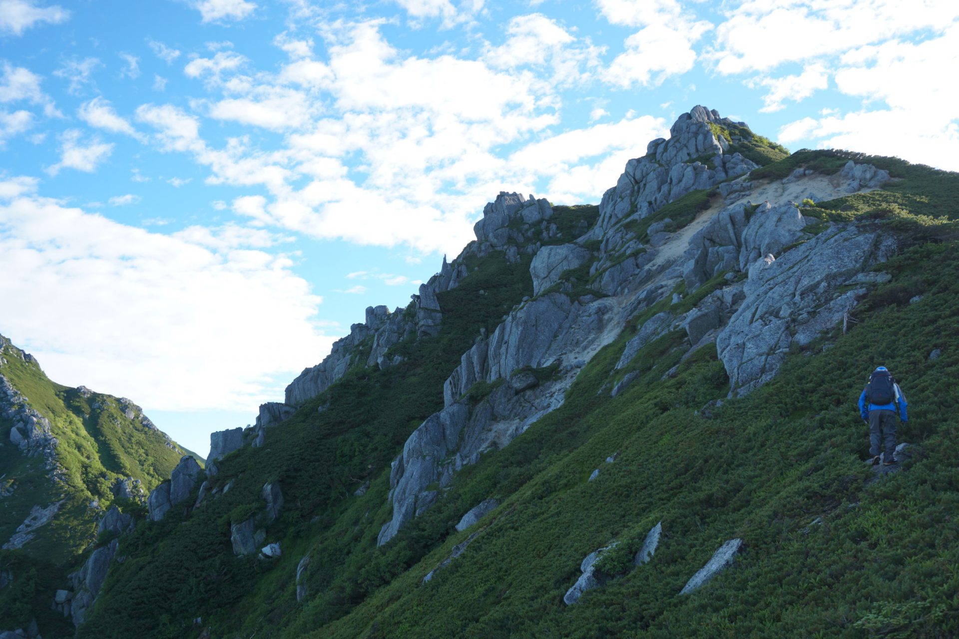
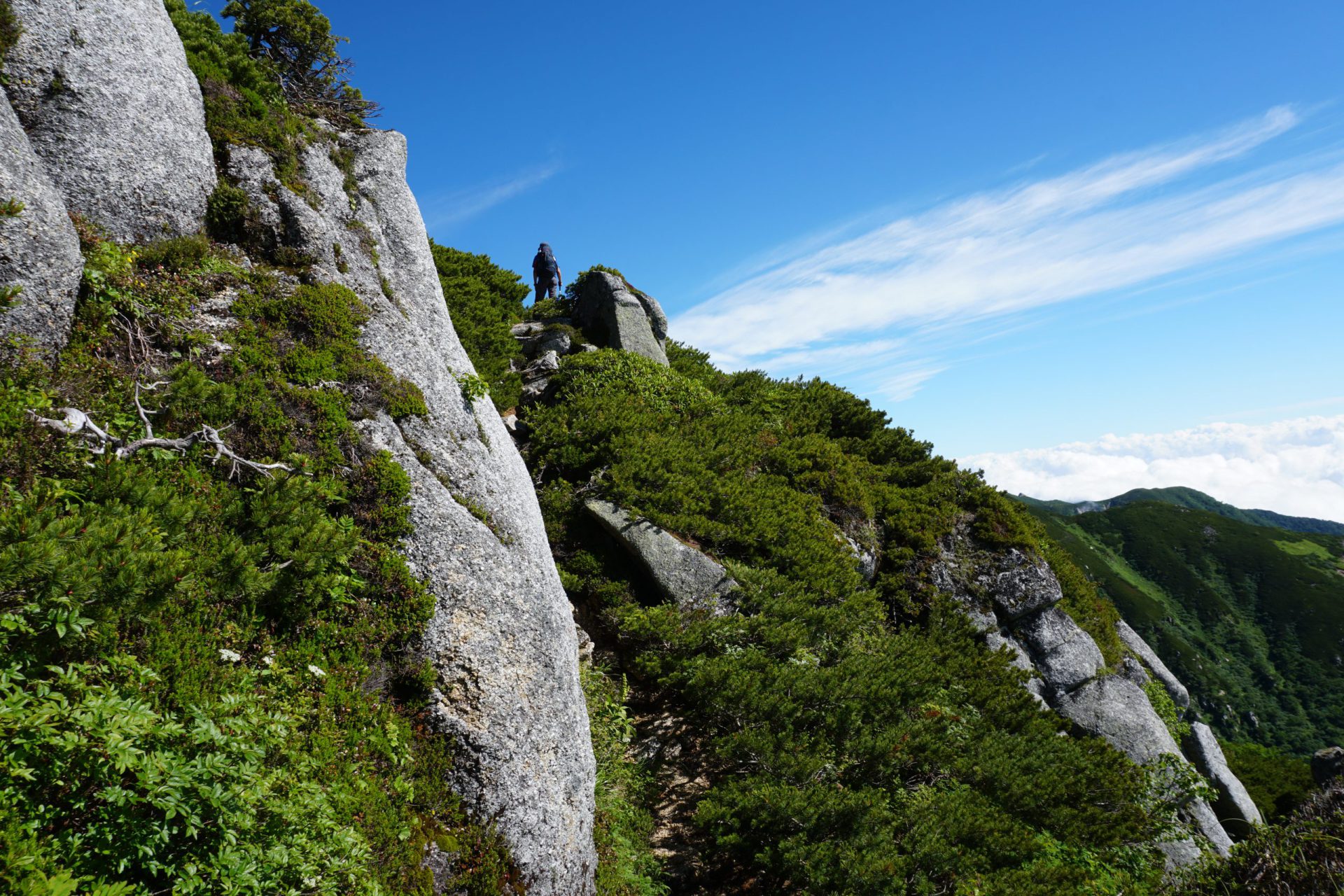
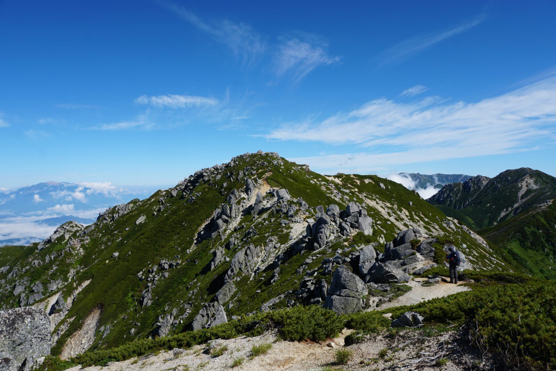
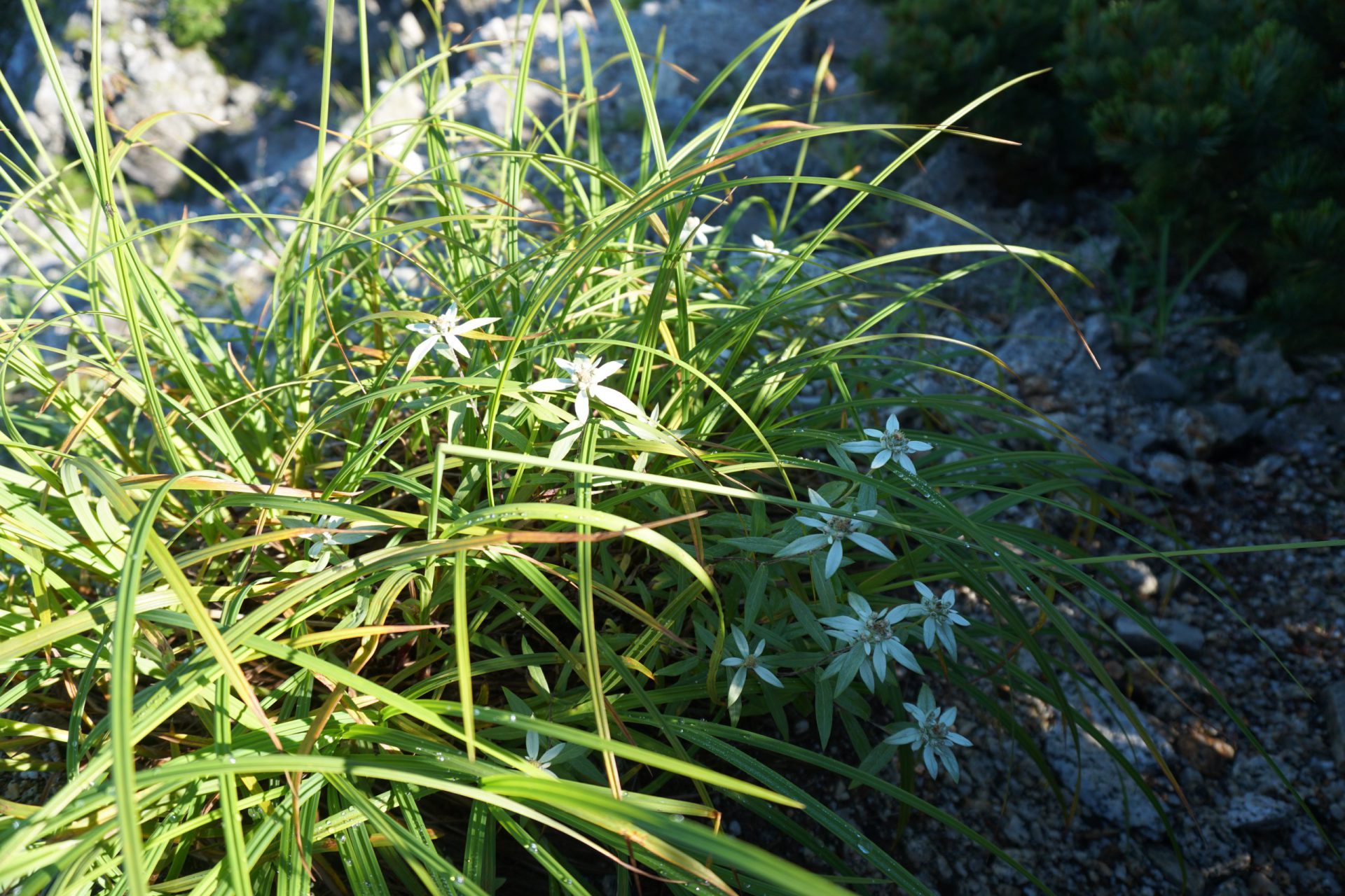
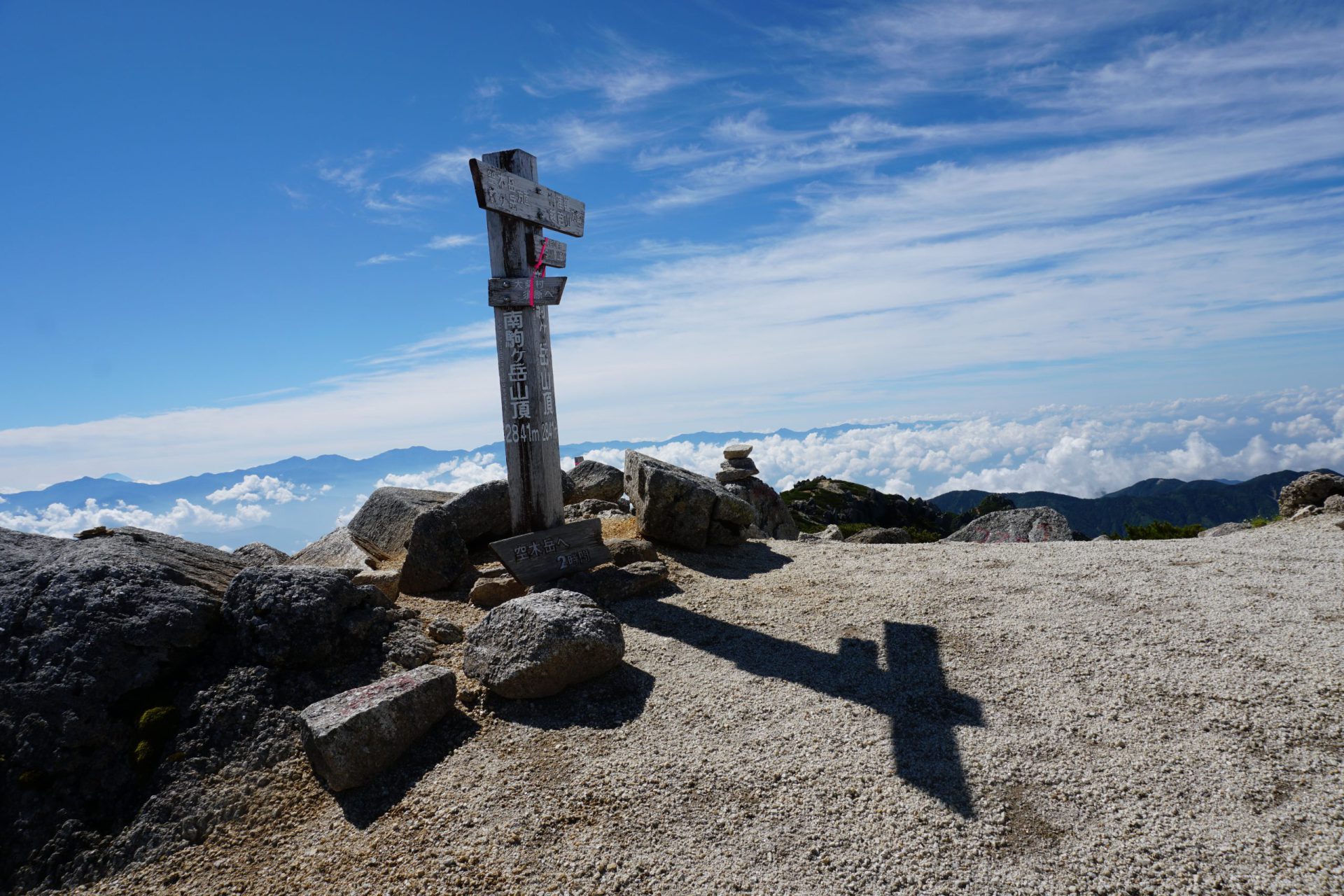
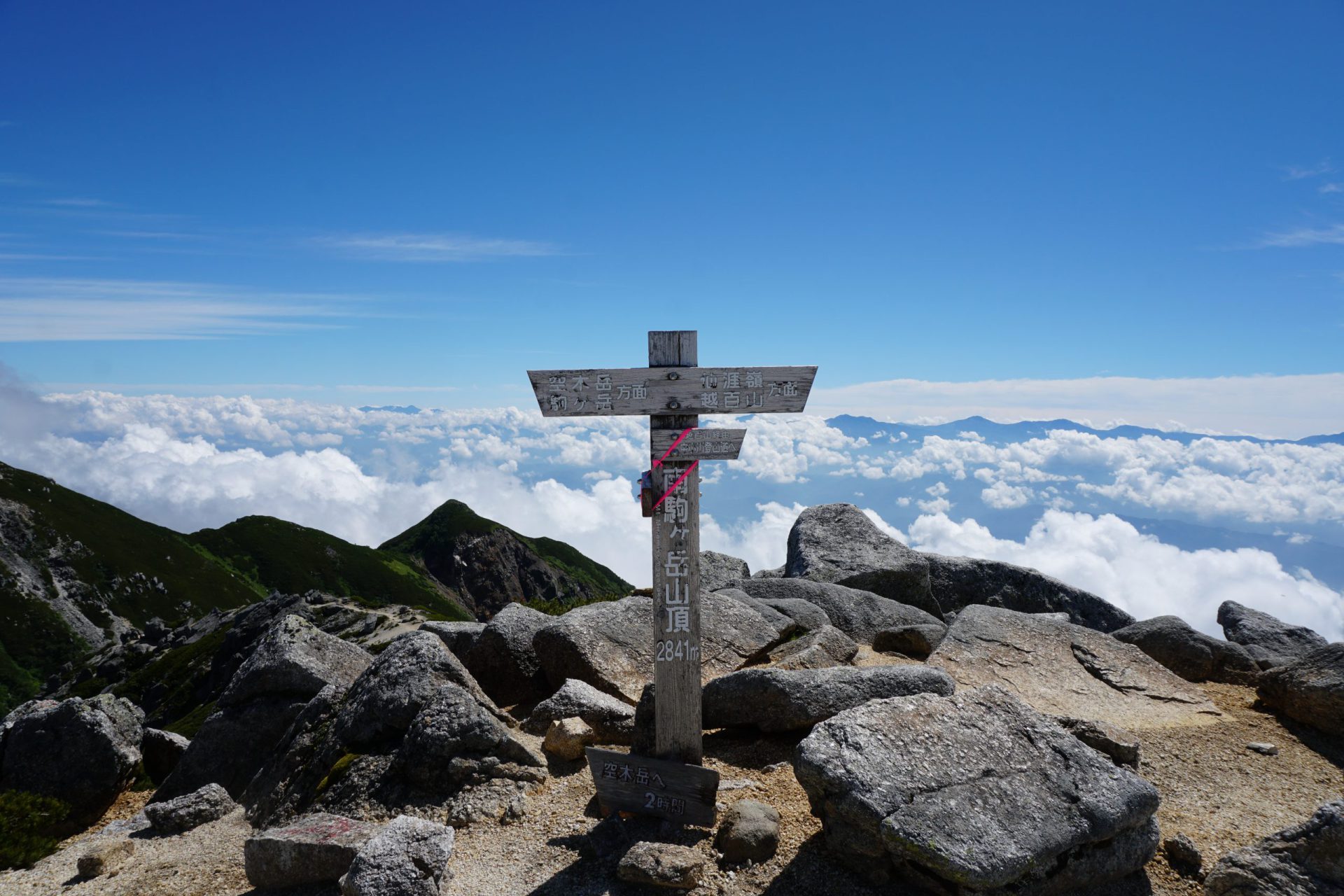
Despite being the main artery of the Central Alps, not many mountaineers venture south of Mt. Utsugi-dake. However, there are a series of attractive peaks here, namely from Mt. Minami-koma-gatake to Sengairei and Mt. Kosumo-yama. When Kyuya Fukada was selecting his 100 most famous mountains, he is said to have struggled to the very end between Mt. Utsugi-dake and Mt. Minami-koma-gake (elevation 2,841 meters, one of Japan’s 200 famous peaks), and Mt. Minami-koma-gatake makes an imposing figure that is by no means inferior to Mt. Utsugi-dake. The uniquely shaped peak, Sengai-rei (elevation 2,734 meters) with its veritable forest of granite boulders, rivals Mt. Houken-dake as one of the most difficult peaks in the Central Alps. To the south, cross 100 peaks to arrive at Mt. Kosumo-yama (elevation 2,641 meters, one of Japan’s 300 famous peaks), whose name literally means to “cross 100 peaks.” The summit of this mountain is gentle and feminine. This traverse is dynamic, and the scenery is breathtaking offering a wealth of alpine flora and fauna, and giving you an experience that will leave no doubt in your mind that you are truly in the Japan Alps. The approach is arduous and therefore most of the climbers here have a wealth of experience, but their numbers are few allowing a leisurely and quiet climbing journey.
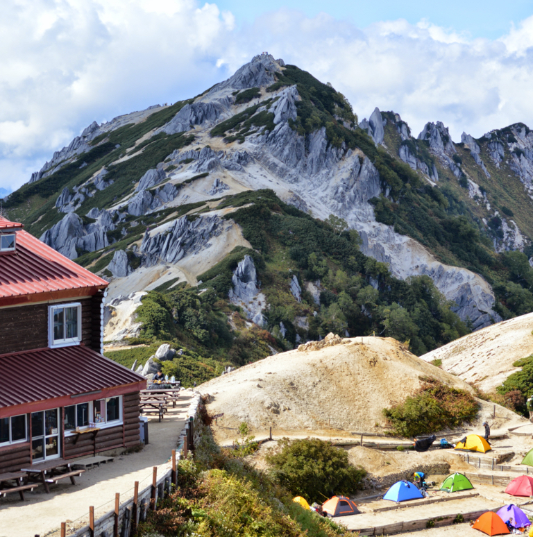
(Photo of Mt. Minami-koma-gatake from Sengai-rei)
Mt. Kosmo 300 famous mountains in Japan:Elevation 2,613.6m
Sengairei :Elevation 2,734m
Mt. Minamikoma 200 famous mountains in Japan: Elevation 2,841m
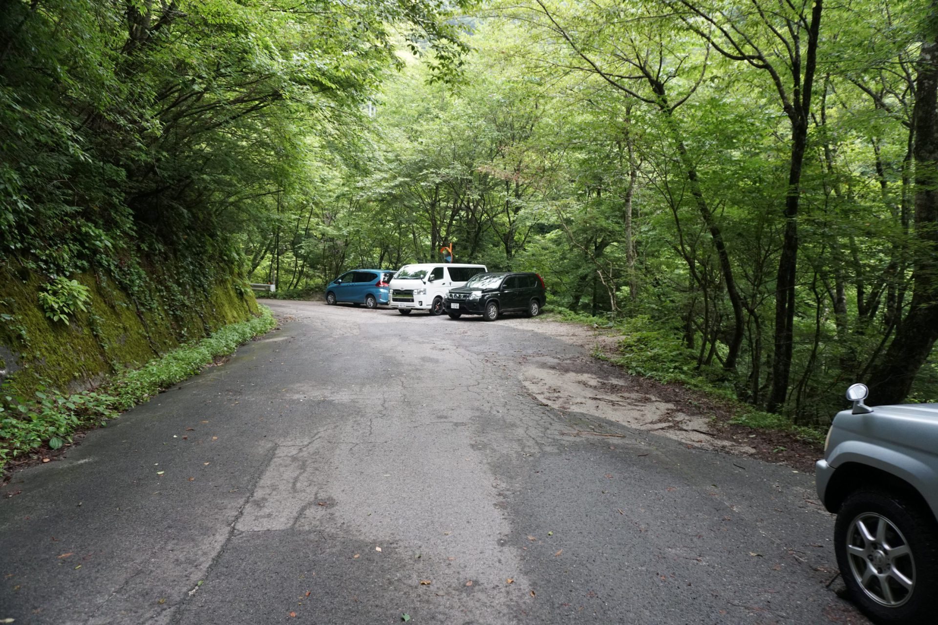
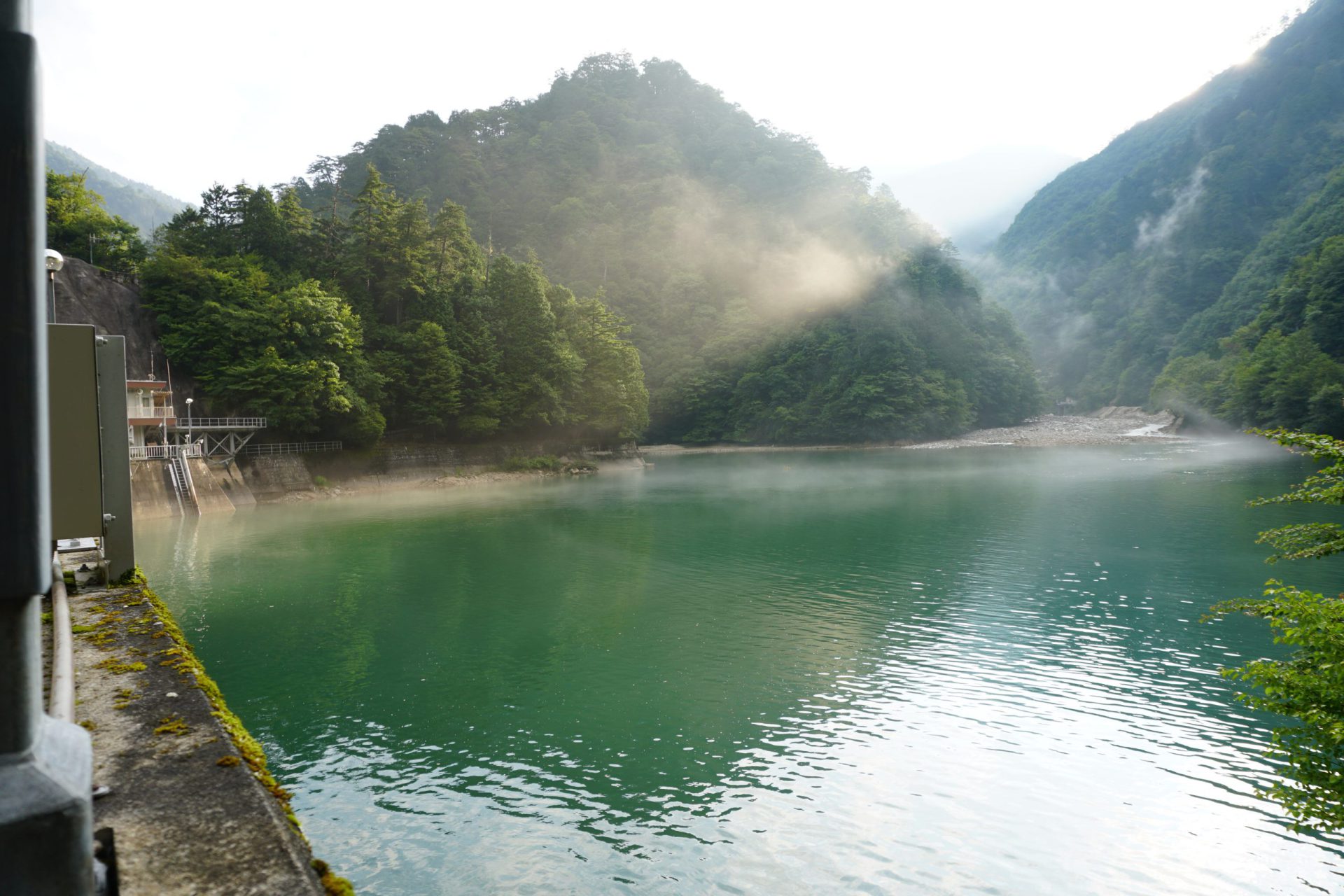
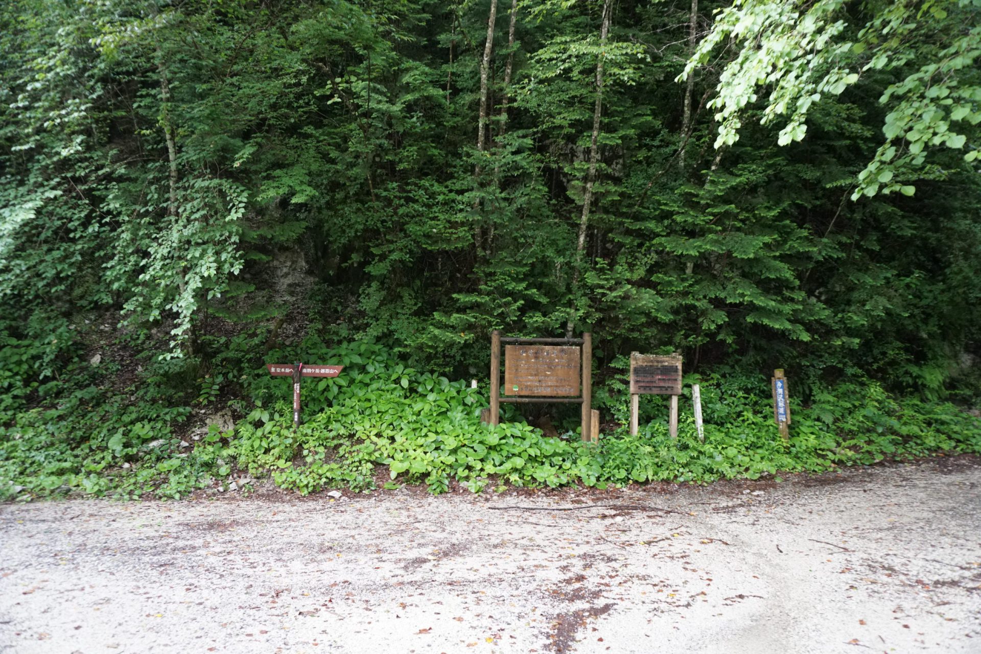
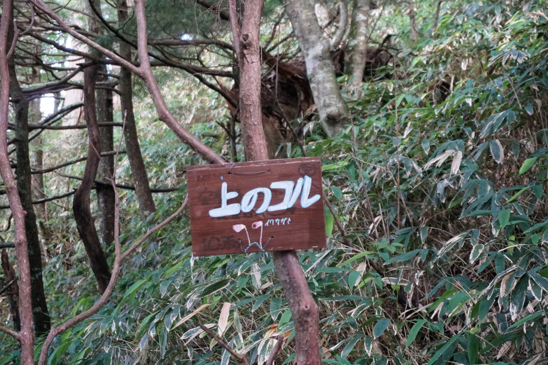
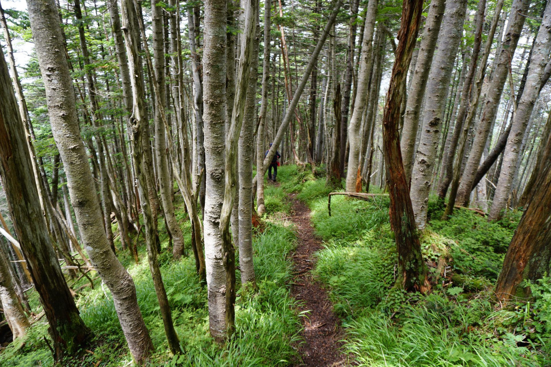
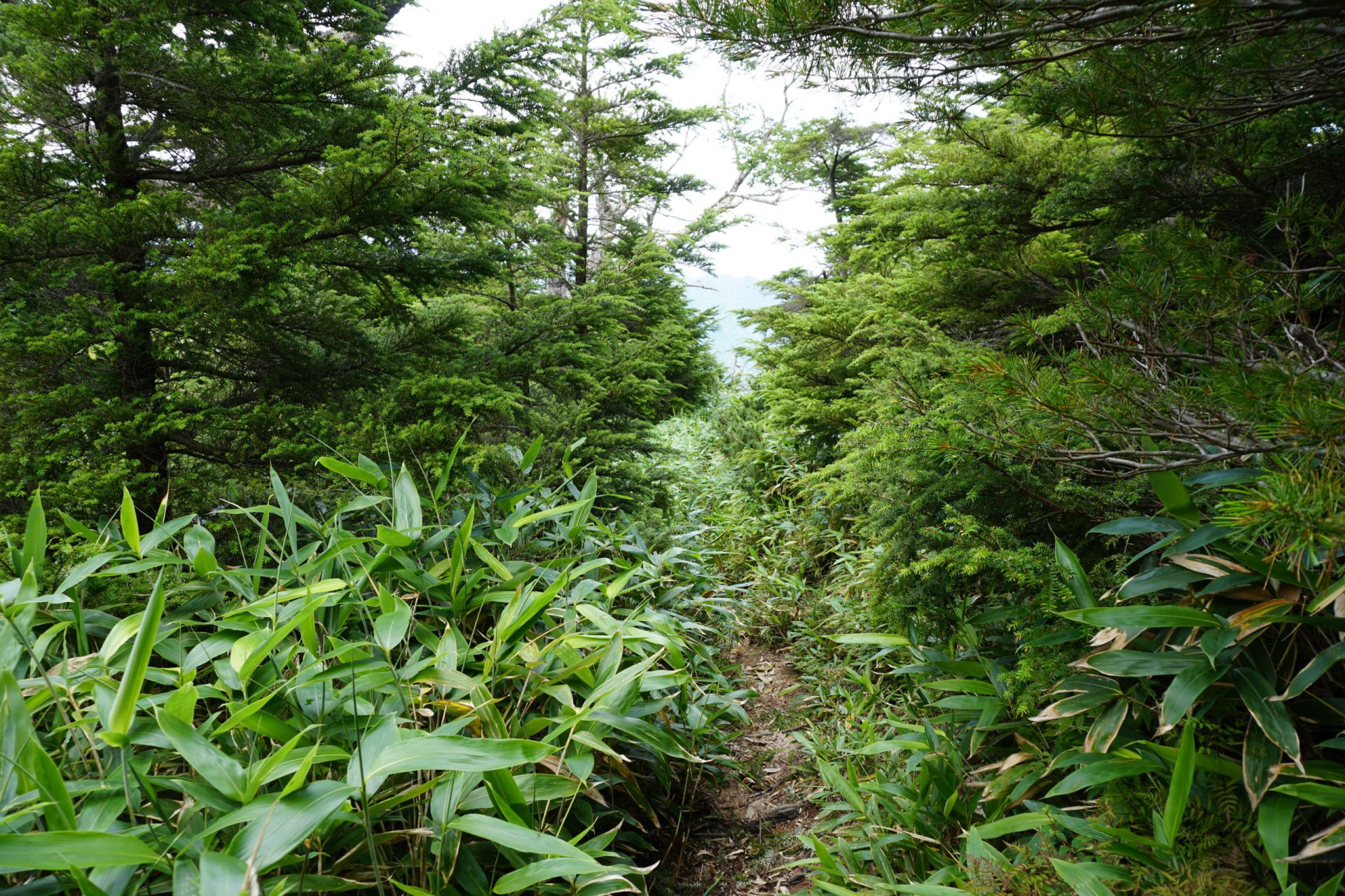
Currently, the most popular route is the one that starts at Inagawa Dam on the Kiso side, and the path from the trailhead to Mt. Kosumo-yama is relatively new built in the late 1970’s and called “Kosumo-yama Shindo,” meaning “new road to Mt. Kosumo-yama.” The route is a long stretch of forest covered with coniferous trees, such as Veitch’s silver fir, so there are not many views along the way. Meanwhile, the route from the trailhead to Mt. Minami-koma-gatake is a forest zone overgrown with bamboo thickets, and once you pass the forest zone, you have to make your way through creeping pine and enormous rocks before reaching the summit, making it an arduous route. The route that mountaineer Kyuya Fukada climbed from Iijima-machi on the Ina side is a “dashed-line route” and not an official mountain climbing trail, and the route from Mt. Nenjo-dake to Mt. Okunenjo-dake is also a dashed line on climbing maps with many areas where the route is obstructed by bamboo thickets, and we therefore cannot recommend taking either of these.
Trailhead vicinity weather
Weekly weather forecast zone:Southern Nagano Prefecture
| DAY | WEATHER | LOWEST | HIGHEST |
|---|---|---|---|
| 7/5 | 23℃ | 33℃ | |
| 7/6 | 23℃ | 33℃ | |
| 7/7 | 23℃ | 33℃ | |
| 7/8 | 24℃ | 33℃ | |
| 7/9 | 24℃ | 32℃ | |
| 7/10 | 23℃ | 32℃ |
This is a publication of the calculated figures for weather predictions and is not the weather forecast. There are instances where there will be big differences in the values stated for the mountains, in accord with the topography as well as sunlight, etc. so please take care.
72 hours weather information:Inagawa Dam, Okuwa Village, Kiso District, Nagano Prefecture
| Date and time |
7/4 11:00 |
7/4 12:00 |
7/4 13:00 |
7/4 14:00 |
7/4 15:00 |
7/4 16:00 |
7/4 17:00 |
7/4 18:00 |
7/4 19:00 |
7/4 20:00 |
7/4 21:00 |
7/4 22:00 |
7/4 23:00 |
7/5 0:00 |
7/5 1:00 |
7/5 2:00 |
7/5 3:00 |
7/5 4:00 |
7/5 5:00 |
7/5 6:00 |
7/5 7:00 |
7/5 8:00 |
7/5 9:00 |
7/5 10:00 |
7/5 11:00 |
7/5 12:00 |
7/5 13:00 |
7/5 14:00 |
7/5 15:00 |
7/5 16:00 |
7/5 17:00 |
7/5 18:00 |
7/5 19:00 |
7/5 20:00 |
7/5 21:00 |
7/5 22:00 |
7/5 23:00 |
7/6 0:00 |
7/6 1:00 |
7/6 2:00 |
7/6 3:00 |
7/6 4:00 |
7/6 5:00 |
7/6 6:00 |
7/6 7:00 |
7/6 8:00 |
7/6 9:00 |
7/6 10:00 |
7/6 11:00 |
7/6 12:00 |
7/6 13:00 |
7/6 14:00 |
7/6 15:00 |
7/6 16:00 |
7/6 17:00 |
7/6 18:00 |
7/6 19:00 |
7/6 20:00 |
7/6 21:00 |
7/6 22:00 |
7/6 23:00 |
7/7 0:00 |
|---|---|---|---|---|---|---|---|---|---|---|---|---|---|---|---|---|---|---|---|---|---|---|---|---|---|---|---|---|---|---|---|---|---|---|---|---|---|---|---|---|---|---|---|---|---|---|---|---|---|---|---|---|---|---|---|---|---|---|---|---|---|---|
| Weather | ||||||||||||||||||||||||||||||||||||||||||||||||||||||||||||||
| Temperature | 22℃ | 22℃ | 23℃ | 23℃ | 23℃ | 23℃ | 22℃ | 22℃ | 21℃ | 20℃ | 20℃ | 19℃ | 19℃ | 18℃ | 18℃ | 18℃ | 17℃ | 17℃ | 17℃ | 18℃ | 18℃ | 18℃ | 18℃ | 19℃ | 21℃ | 22℃ | 23℃ | 23℃ | 23℃ | 22℃ | 22℃ | 21℃ | 20℃ | 21℃ | 20℃ | 20℃ | 19℃ | 19℃ | 18℃ | 18℃ | 18℃ | 18℃ | 18℃ | 18℃ | 19℃ | 21℃ | 22℃ | 23℃ | 24℃ | 24℃ | 23℃ | 23℃ | 23℃ | 23℃ | 23℃ | 23℃ | 23℃ | 22℃ | 21℃ | 20℃ | 20℃ | 20℃ |
| Precipitation | 0mm/h | 0mm/h | 0mm/h | 0mm/h | 0mm/h | 0mm/h | 0mm/h | 0mm/h | 0mm/h | 0mm/h | 0mm/h | 0mm/h | 0mm/h | 0mm/h | 0mm/h | ※ 16時間以降は表示されません | ||||||||||||||||||||||||||||||||||||||||||||||
| Wind direction |
east-northeast 2m/s |
east-northeast 2m/s |
east-northeast 2m/s |
east-northeast 2m/s |
east-northeast 2m/s |
east-northeast 2m/s |
east-northeast 2m/s |
east-northeast 2m/s |
east-northeast 1m/s |
east-northeast 1m/s |
east-northeast 1m/s |
east-northeast 1m/s |
east-northeast 1m/s |
east-northeast 1m/s |
0m/s |
east-northeast 1m/s |
east-northeast 1m/s |
east-northeast 1m/s |
east-northeast 1m/s |
east-northeast 1m/s |
east-northeast 1m/s |
east-northeast 1m/s |
east-northeast 1m/s |
0m/s |
east-northeast 1m/s |
east-northeast 1m/s |
east-northeast 2m/s |
east-northeast 2m/s |
east-northeast 2m/s |
east-northeast 1m/s |
east-northeast 1m/s |
east-northeast 1m/s |
east-northeast 2m/s |
east-northeast 1m/s |
east-northeast 1m/s |
east-northeast 1m/s |
east-northeast 1m/s |
east-northeast 1m/s |
east-northeast 1m/s |
east-northeast 1m/s |
east-northeast 1m/s |
east-northeast 1m/s |
east-northeast 1m/s |
east-northeast 1m/s |
0m/s |
east-northeast 1m/s |
east-northeast 1m/s |
east-northeast 1m/s |
east-northeast 1m/s |
east-northeast 1m/s |
east-northeast 1m/s |
east-northeast 1m/s |
east-northeast 1m/s |
east-northeast 1m/s |
east-northeast 1m/s |
east-northeast 1m/s |
east-northeast 1m/s |
east-northeast 1m/s |
east-northeast 1m/s |
east-northeast 1m/s |
east-northeast 1m/s |
east-northeast 1m/s |
※The weather information will be information on 5km square including the relevant point.
※天気予報マークは一次細分区域から表示しています
View of Mt. Kosmo-Mt. Minamikoma