![]()
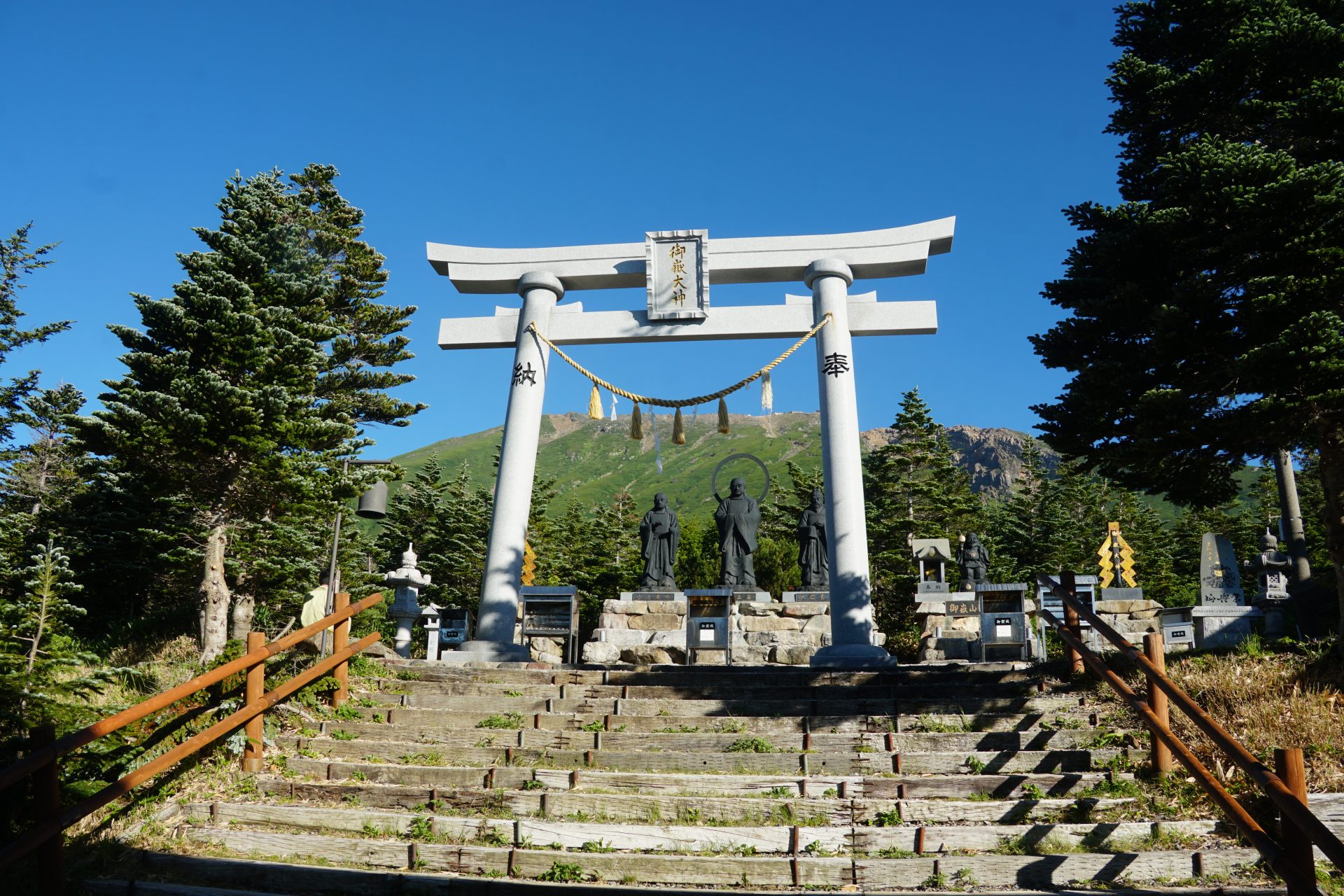
It rises on the border of Nagano and Gifu prefectures. It is also commonly known as “Kiso no Ontake-san,” but as a mountain of mountain worship, it has attracted many believers since the Edo period (1603-1868), and Walter Weston, in his “Mountaineering and Exploration in the Japanese Alps,” describes the ascent and its mountain worship in detail as the sacred mountain Ontake, “the great peak”.
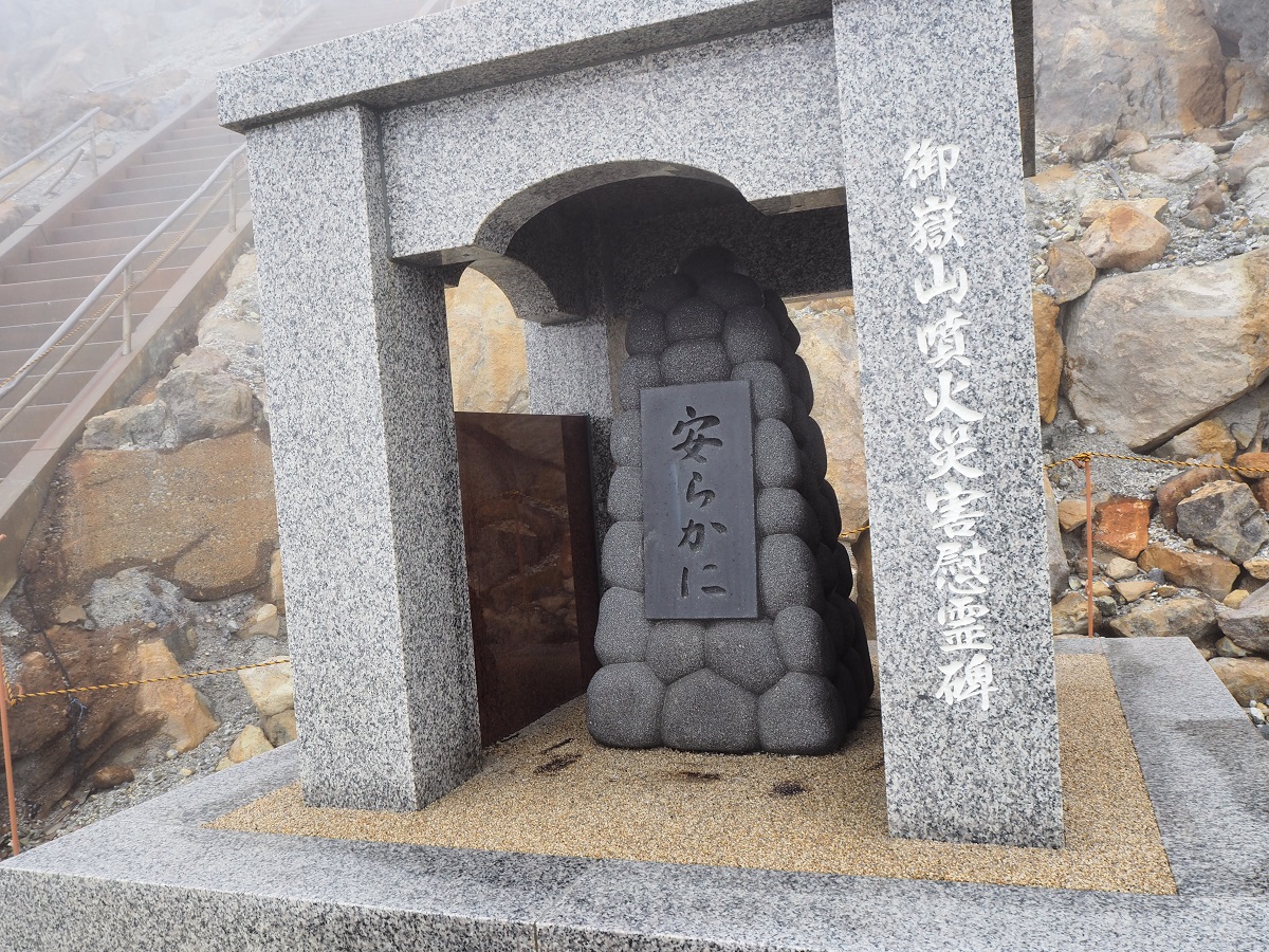
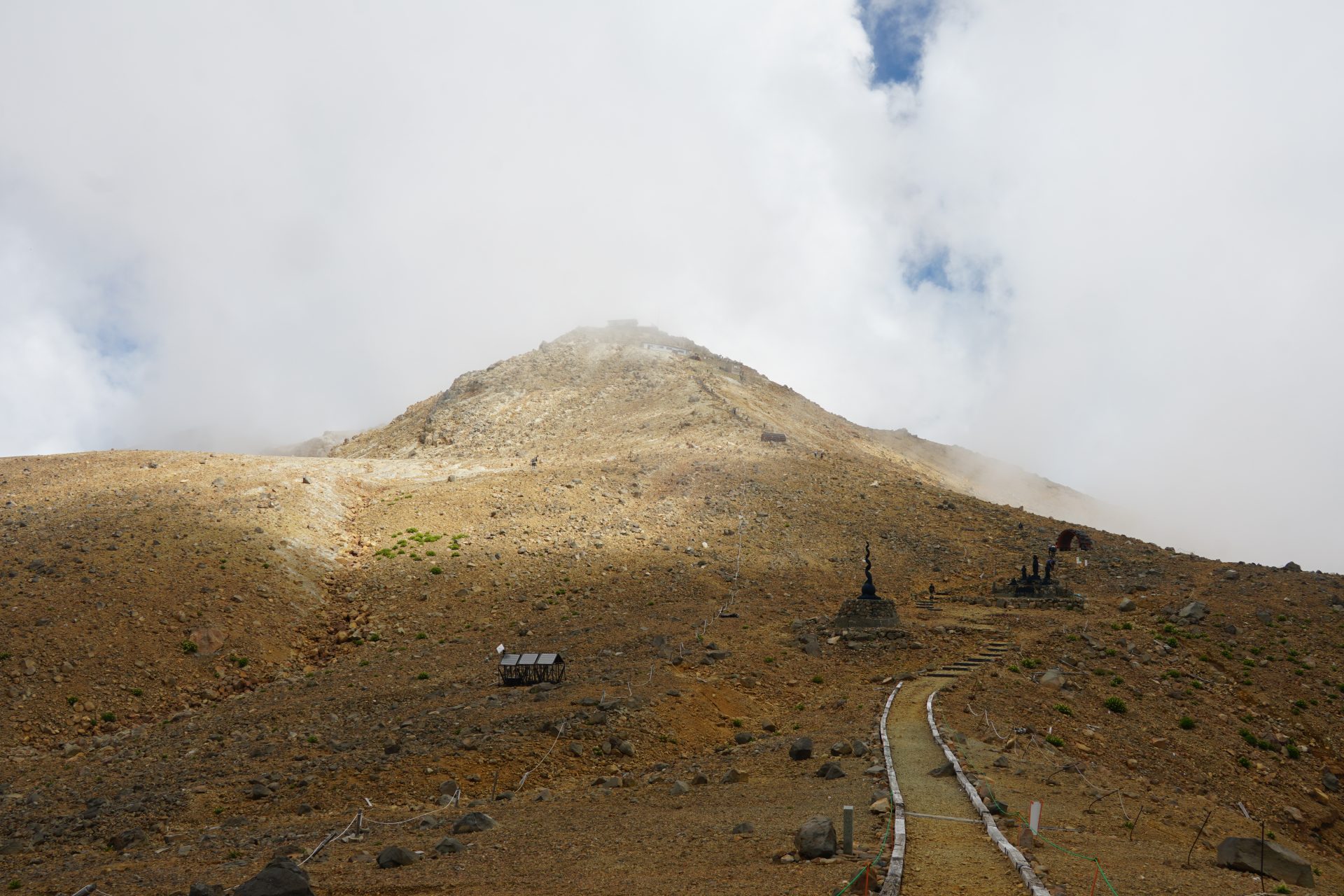
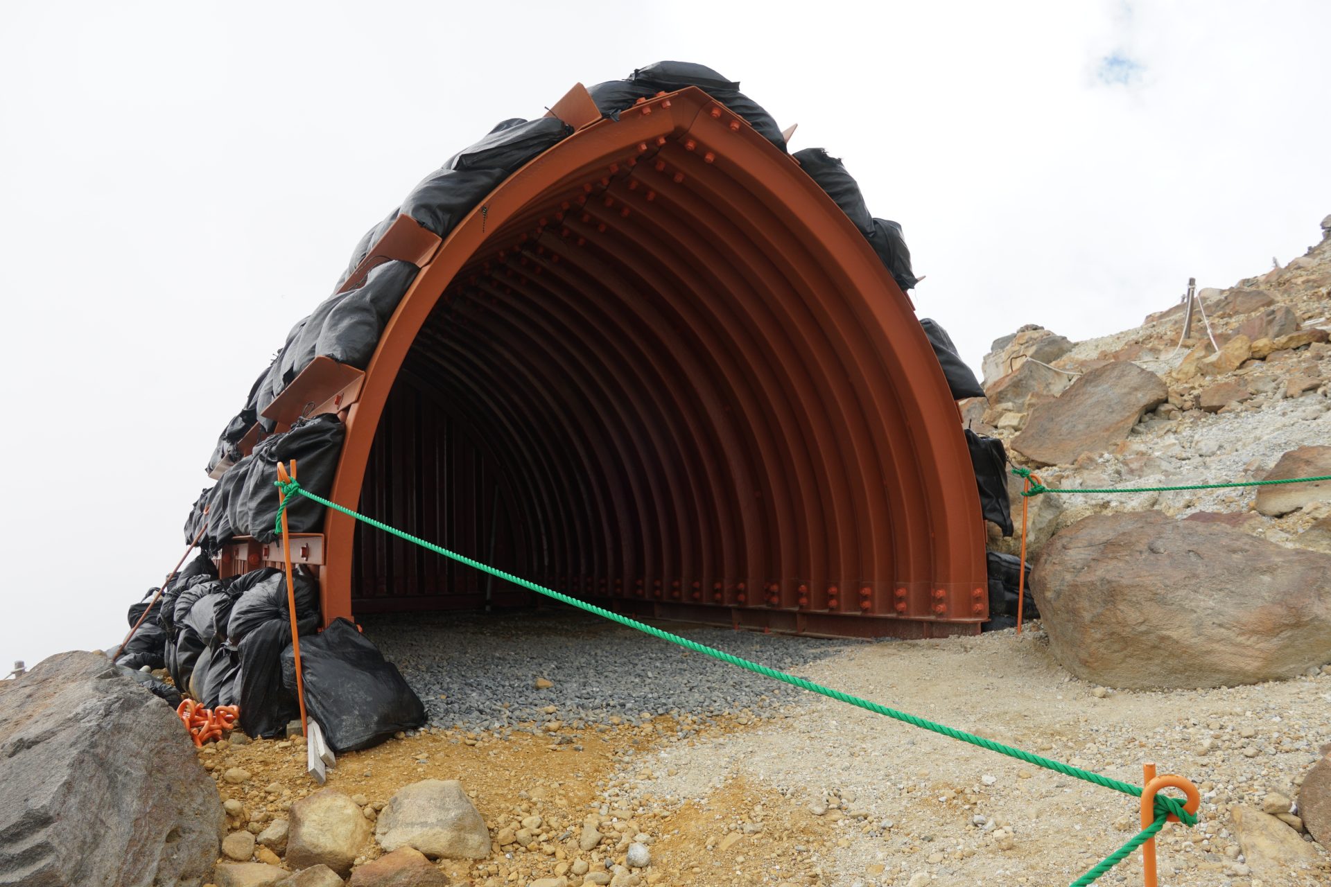
However, today it is more impressive as a volcano, and the memory of the eruption that occurred at 11:52 a.m. on September 27, 2014, the worst mountain accident in the postwar period, remains deeply engraved and vivid in our hearts.
It was a very sad disaster that left 63 people dead or missing.
Years after the accident, the eruption has calmed down and is once again attracting many climbers, but let us not forget the lessons of the disaster and plan accordingly with meticulous preparation.
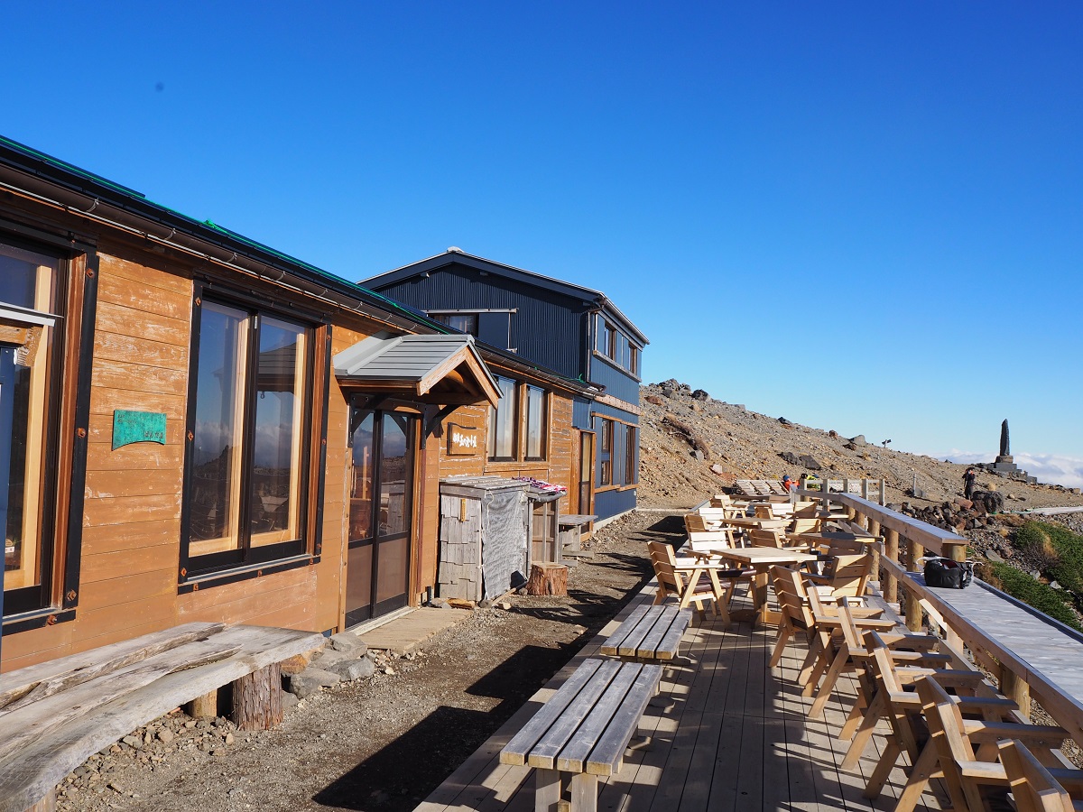
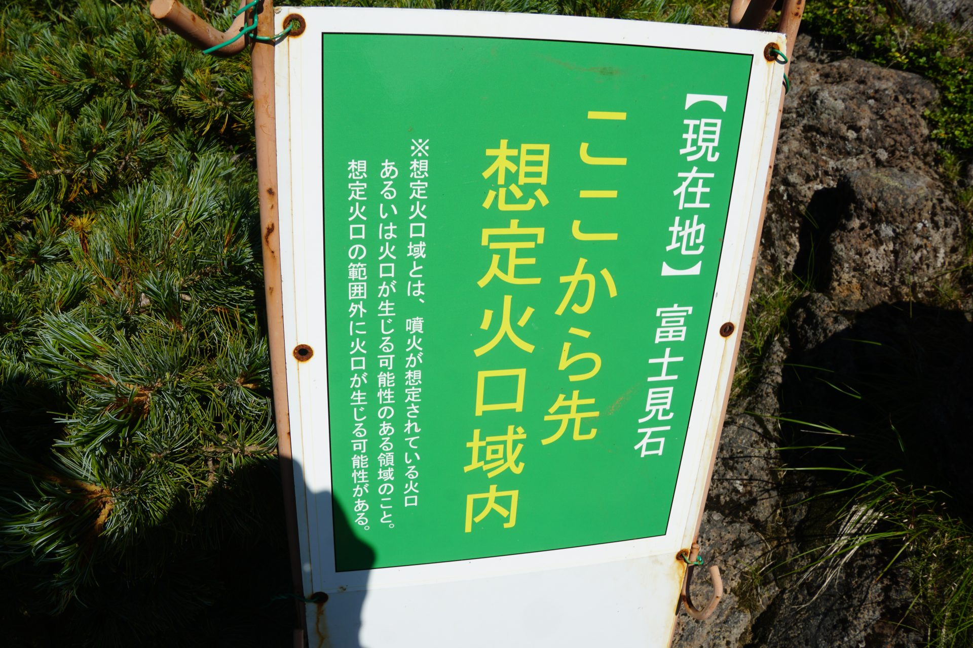
Here, we will discuss (1) the Kurosawa-guchi route to Kenga-mine using the Ontake ropeway, (2) The Kaidaguchi route, which is long and physically demanding. (3) The Kosakaguchi route from Nigorigo Onsen, a hidden hot spring on the Gifu side of the mountain. And (4) the shortest route, the Otaki-guchi route, which can be climbed directly up to Kenga-mine for the first time in nine years at the end of July 2023. Regardless of where you choose to climb Ontake mountains, please be mindful of the memorial to the victims of the disaster. There is a visitor center along the road to the trailhead, where you can check the record of the eruption disaster. Currently, you can climb the summit of Kenga-mine from July 1 to mid-October only.
If you plan to climb the mountain, check the eruption warning level on the JMA website.


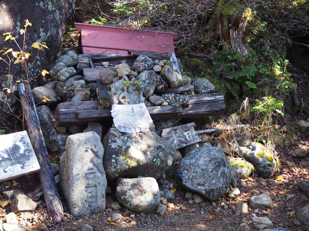
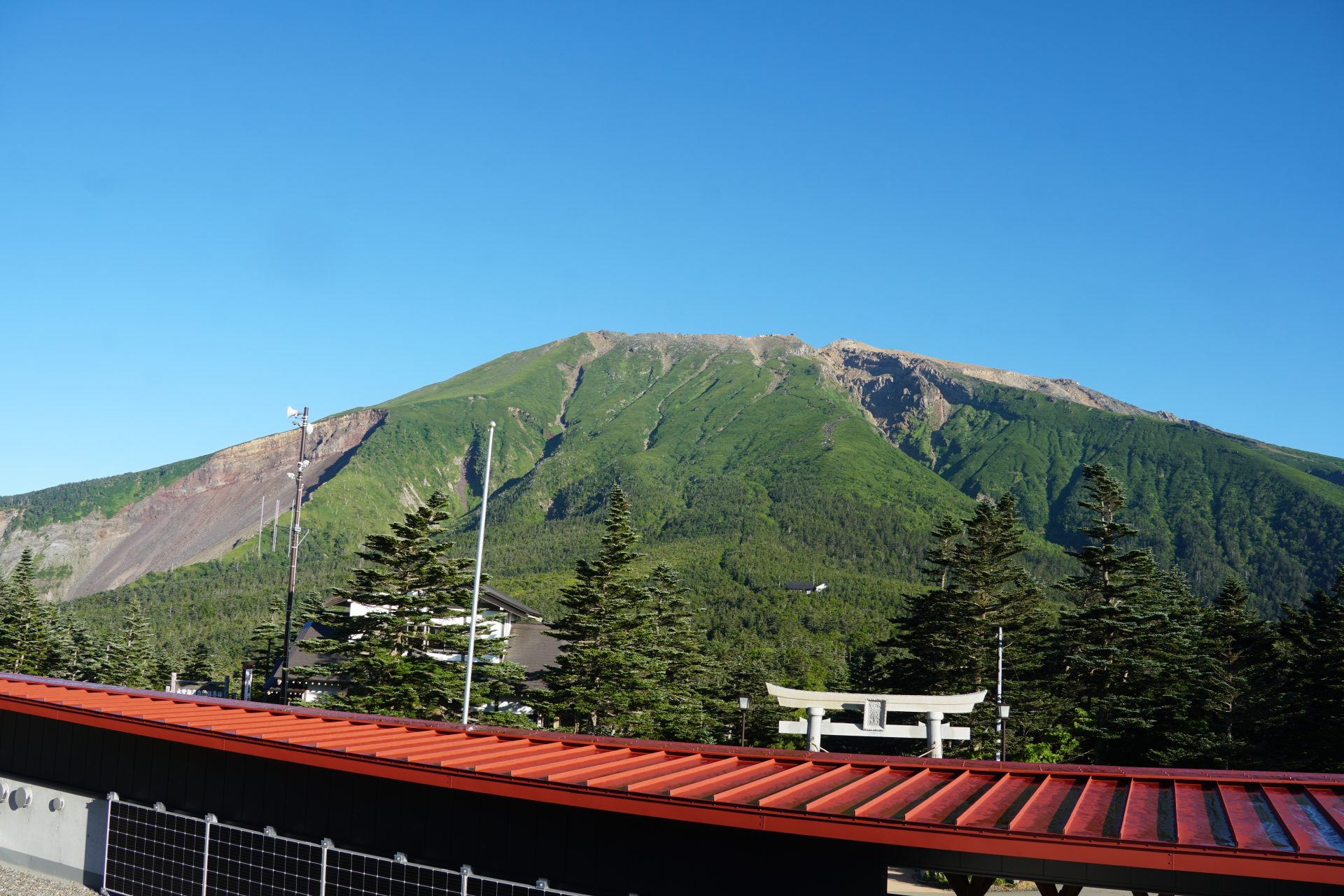
This mountain is well known for mountain worship, where some visit in white clothing, demonstrating their belief. Also on the mountain, there are many places and buildings named, based on religious beliefs, such as Saino-kawara, Marishiten, or Nyonin-do. This mountain holds unique characters. Besides the religious color of this mountain, it has also established a reputation for being an easy-to-hike 3,000 m high mountain because of its development as a resort place. Ontake ropeway, which will be introduced here, can be one of the examples.
Trailhead vicinity weather
Weekly weather forecast zone:Central Nagano Prefecture
| DAY | WEATHER | LOWEST | HIGHEST |
|---|---|---|---|
| 7/16 | 24℃ | 30℃ | |
| 7/17 | 25℃ | 28℃ | |
| 7/18 | 26℃ | 32℃ | |
| 7/19 | 26℃ | 33℃ | |
| 7/20 | 26℃ | 34℃ | |
| 7/21 | 26℃ | 35℃ |
This is a publication of the calculated figures for weather predictions and is not the weather forecast. There are instances where there will be big differences in the values stated for the mountains, in accord with the topography as well as sunlight, etc. so please take care.
72 hours weather information:Mitake Kuramoto, Kiso-machi, Kiso-gun, Nagano, Japan Iimori Kogen Station
| Date and time |
7/15 7:00 |
7/15 8:00 |
7/15 9:00 |
7/15 10:00 |
7/15 11:00 |
7/15 12:00 |
7/15 13:00 |
7/15 14:00 |
7/15 15:00 |
7/15 16:00 |
7/15 17:00 |
7/15 18:00 |
7/15 19:00 |
7/15 20:00 |
7/15 21:00 |
7/15 22:00 |
7/15 23:00 |
7/16 0:00 |
7/16 1:00 |
7/16 2:00 |
7/16 3:00 |
7/16 4:00 |
7/16 5:00 |
7/16 6:00 |
7/16 7:00 |
7/16 8:00 |
7/16 9:00 |
7/16 10:00 |
7/16 11:00 |
7/16 12:00 |
7/16 13:00 |
7/16 14:00 |
7/16 15:00 |
7/16 16:00 |
7/16 17:00 |
7/16 18:00 |
7/16 19:00 |
7/16 20:00 |
7/16 21:00 |
7/16 22:00 |
7/16 23:00 |
7/17 0:00 |
7/17 1:00 |
7/17 2:00 |
7/17 3:00 |
7/17 4:00 |
7/17 5:00 |
7/17 6:00 |
7/17 7:00 |
7/17 8:00 |
7/17 9:00 |
7/17 10:00 |
7/17 11:00 |
7/17 12:00 |
7/17 13:00 |
7/17 14:00 |
7/17 15:00 |
7/17 16:00 |
7/17 17:00 |
7/17 18:00 |
7/17 19:00 |
7/17 20:00 |
7/17 21:00 |
7/17 22:00 |
7/17 23:00 |
7/18 0:00 |
|---|---|---|---|---|---|---|---|---|---|---|---|---|---|---|---|---|---|---|---|---|---|---|---|---|---|---|---|---|---|---|---|---|---|---|---|---|---|---|---|---|---|---|---|---|---|---|---|---|---|---|---|---|---|---|---|---|---|---|---|---|---|---|---|---|---|---|
| Weather | ||||||||||||||||||||||||||||||||||||||||||||||||||||||||||||||||||
| Temperature | 17℃ | 17℃ | 17℃ | 17℃ | 16℃ | 16℃ | 17℃ | 18℃ | 19℃ | 18℃ | 18℃ | 18℃ | 17℃ | 16℃ | 15℃ | 15℃ | 15℃ | 14℃ | 14℃ | 14℃ | 15℃ | 15℃ | 15℃ | 15℃ | 15℃ | 16℃ | 16℃ | 17℃ | 17℃ | 17℃ | 17℃ | 18℃ | 18℃ | 17℃ | 17℃ | 17℃ | 17℃ | 16℃ | 16℃ | 16℃ | 16℃ | 16℃ | 16℃ | 16℃ | 16℃ | 16℃ | 16℃ | 16℃ | 16℃ | 16℃ | 16℃ | 16℃ | 16℃ | 16℃ | 16℃ | 16℃ | 16℃ | 16℃ | 16℃ | 15℃ | 15℃ | 14℃ | 14℃ | 14℃ | 14℃ | 14℃ |
| Precipitation | 9mm/h | 9mm/h | 1mm/h | 1mm/h | 3mm/h | 0.4mm/h | 0mm/h | 0mm/h | 0mm/h | 0mm/h | 0mm/h | 0mm/h | 0mm/h | 0mm/h | 0mm/h | ※ 16時間以降は表示されません | ||||||||||||||||||||||||||||||||||||||||||||||||||
| Wind direction |
south 3m/s |
south 3m/s |
south 3m/s |
south 3m/s |
south 3m/s |
south 3m/s |
south 2m/s |
south 3m/s |
south 3m/s |
south 2m/s |
south 3m/s |
south 2m/s |
south 2m/s |
south 3m/s |
south 3m/s |
south 3m/s |
south 3m/s |
south 3m/s |
south 3m/s |
south 3m/s |
south 3m/s |
south 3m/s |
south 3m/s |
south 3m/s |
south 3m/s |
south 3m/s |
south 3m/s |
south 3m/s |
south 3m/s |
south 3m/s |
south 3m/s |
south 2m/s |
south 2m/s |
south 2m/s |
south 2m/s |
south 2m/s |
south 2m/s |
south 2m/s |
south 2m/s |
south 2m/s |
south 2m/s |
south 2m/s |
south 2m/s |
south 2m/s |
south 2m/s |
south 2m/s |
south 2m/s |
south 2m/s |
south 2m/s |
south 3m/s |
south 3m/s |
south 3m/s |
south 3m/s |
south 3m/s |
south 2m/s |
south 2m/s |
south 2m/s |
south 3m/s |
south 3m/s |
south 3m/s |
south 3m/s |
south 3m/s |
south 2m/s |
south 2m/s |
south 3m/s |
south 3m/s |
※The weather information will be information on 5km square including the relevant point.
※天気予報マークは一次細分区域から表示しています
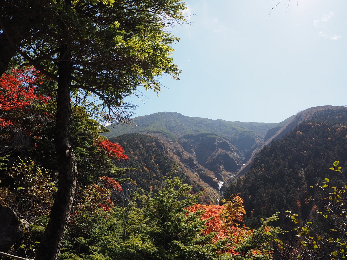
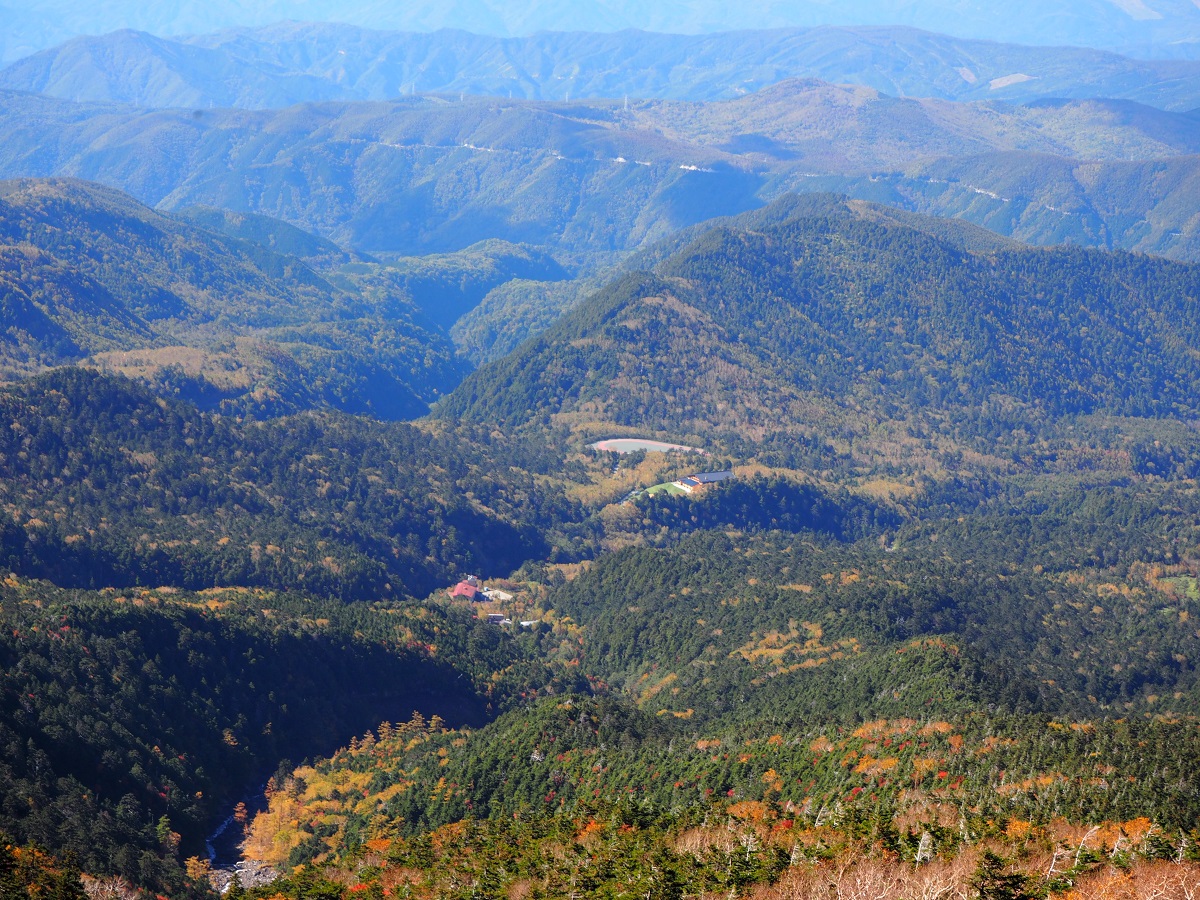
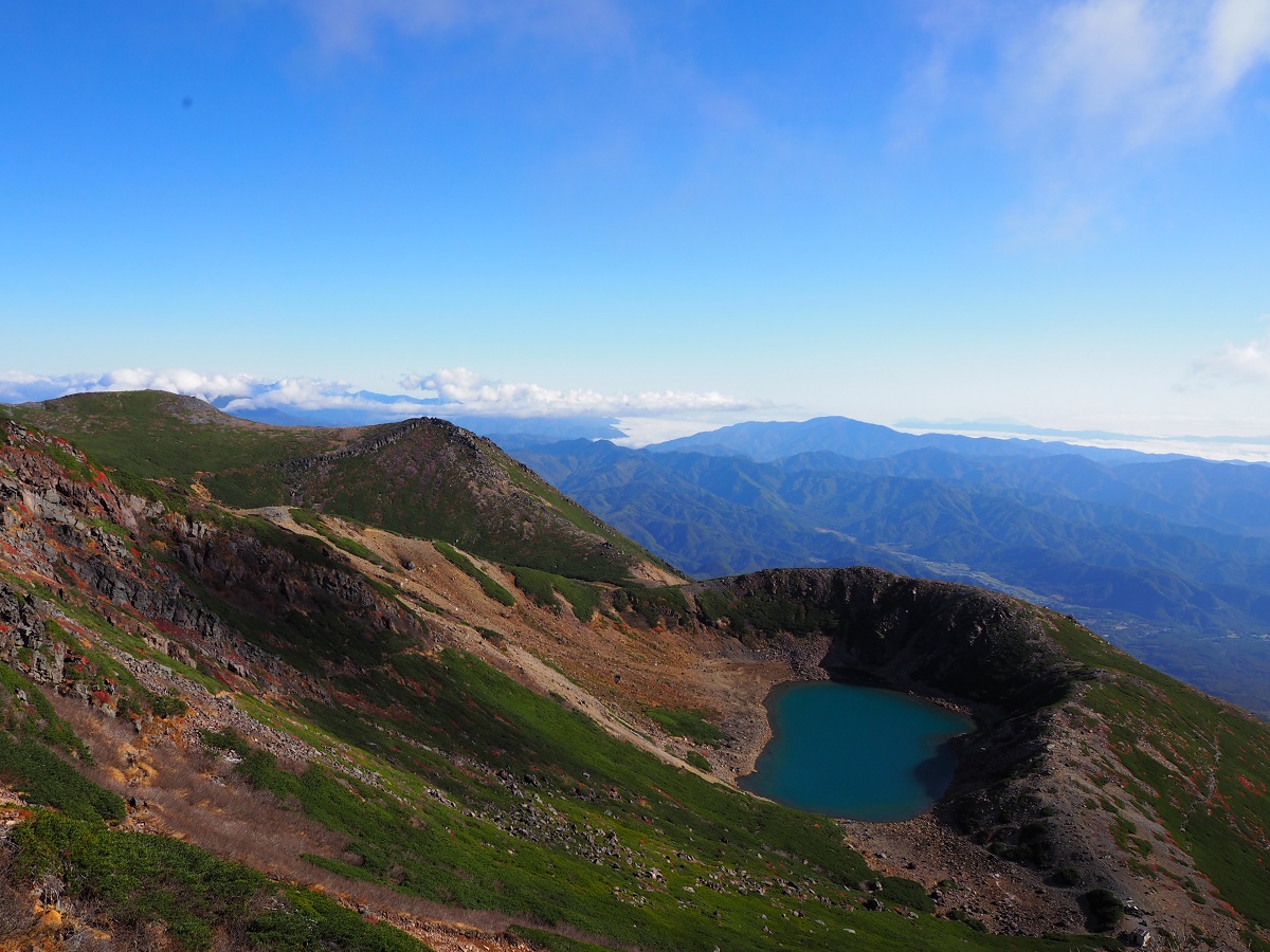
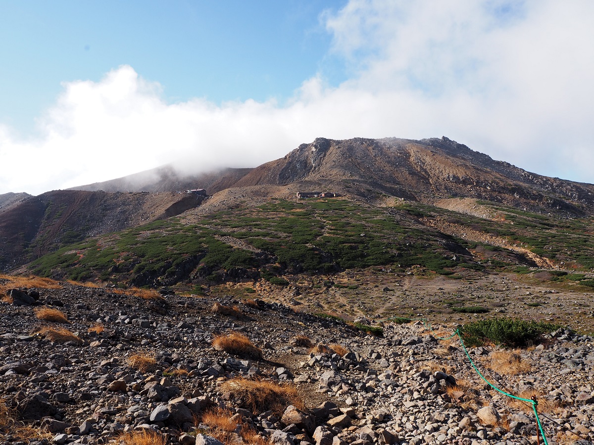
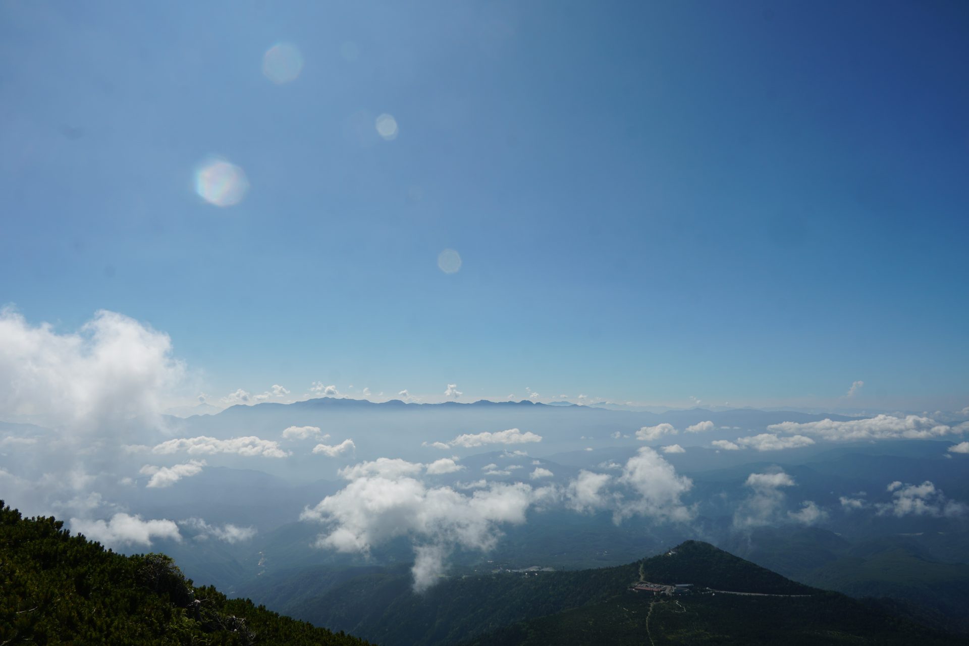
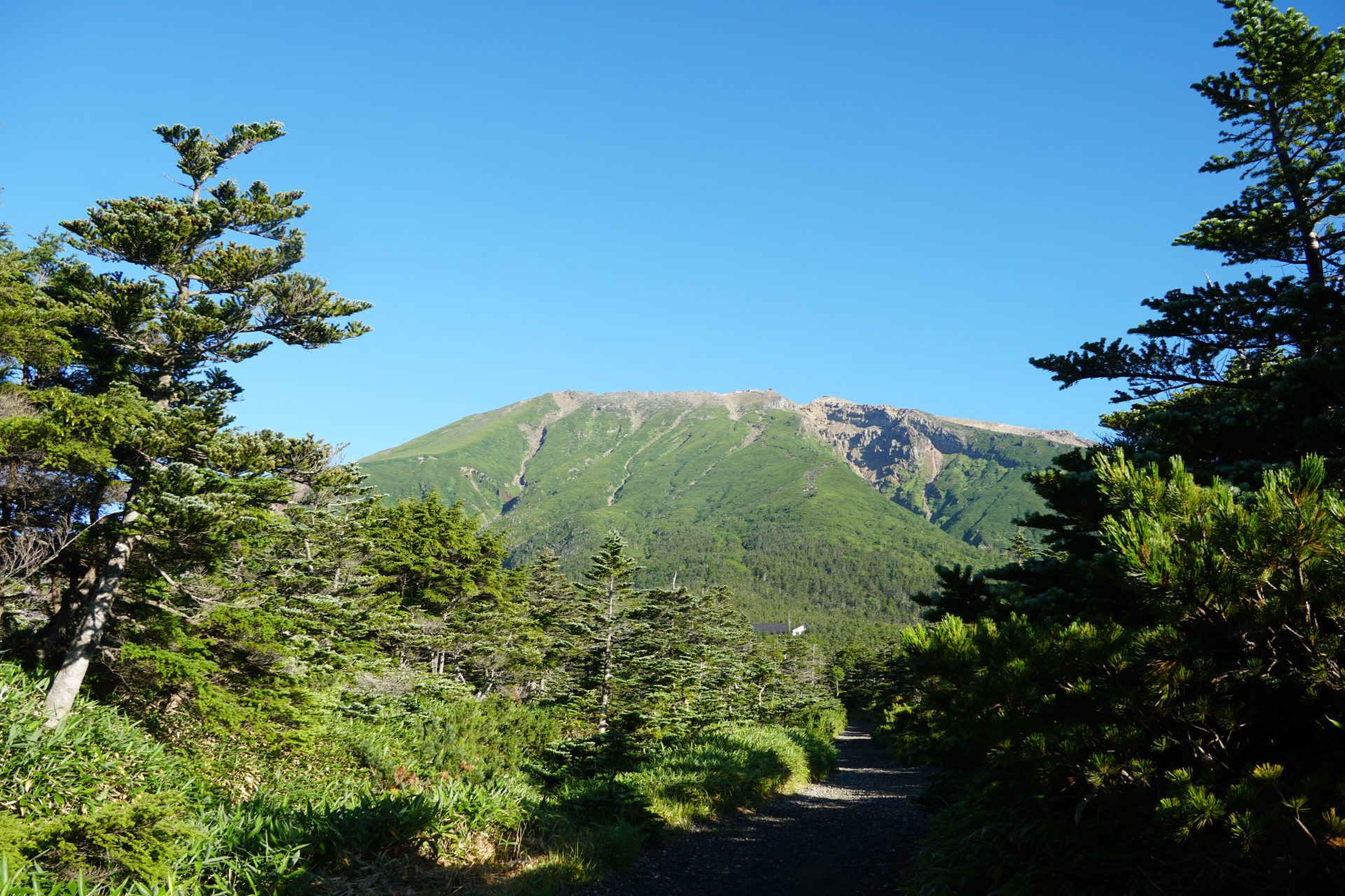
View of Ontake Mountains