Nyukasa-yama
The most popular theory is that it was called “Nyukasa” because it is read as “Nyukasa” instead of “Ilikasa” and looks like a hat at the top of a mountain of rice piled up in bundles after rice harvesting.
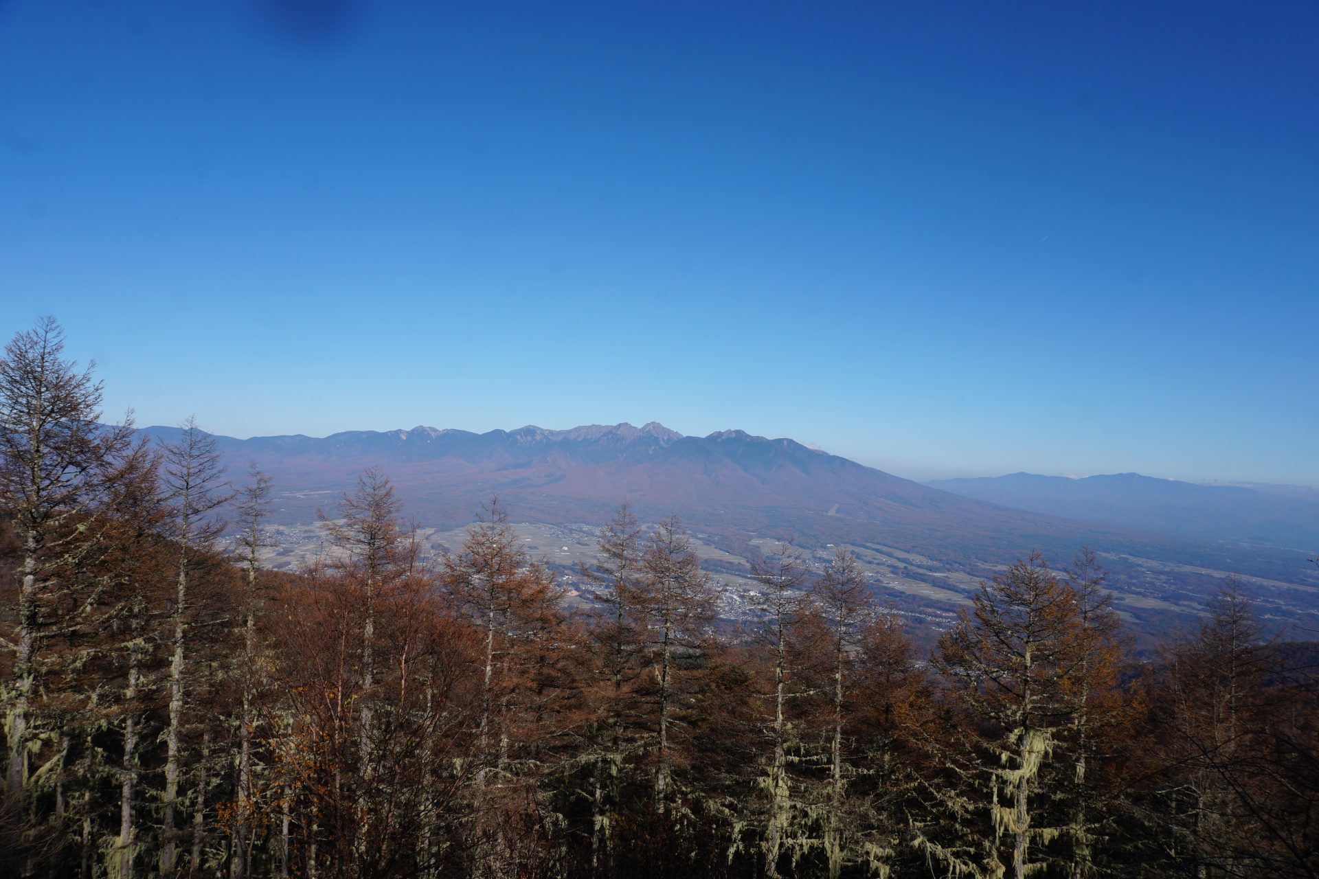
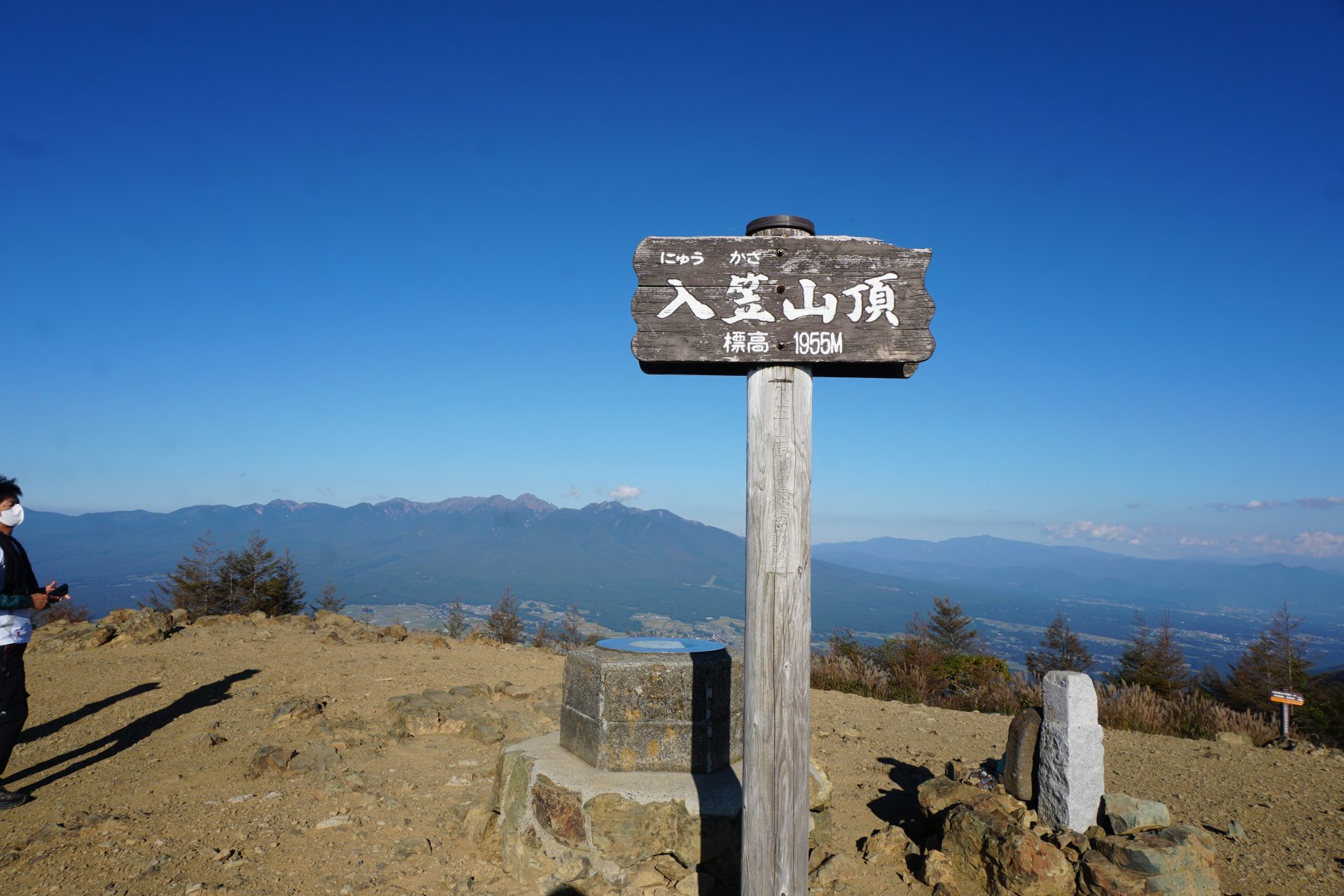
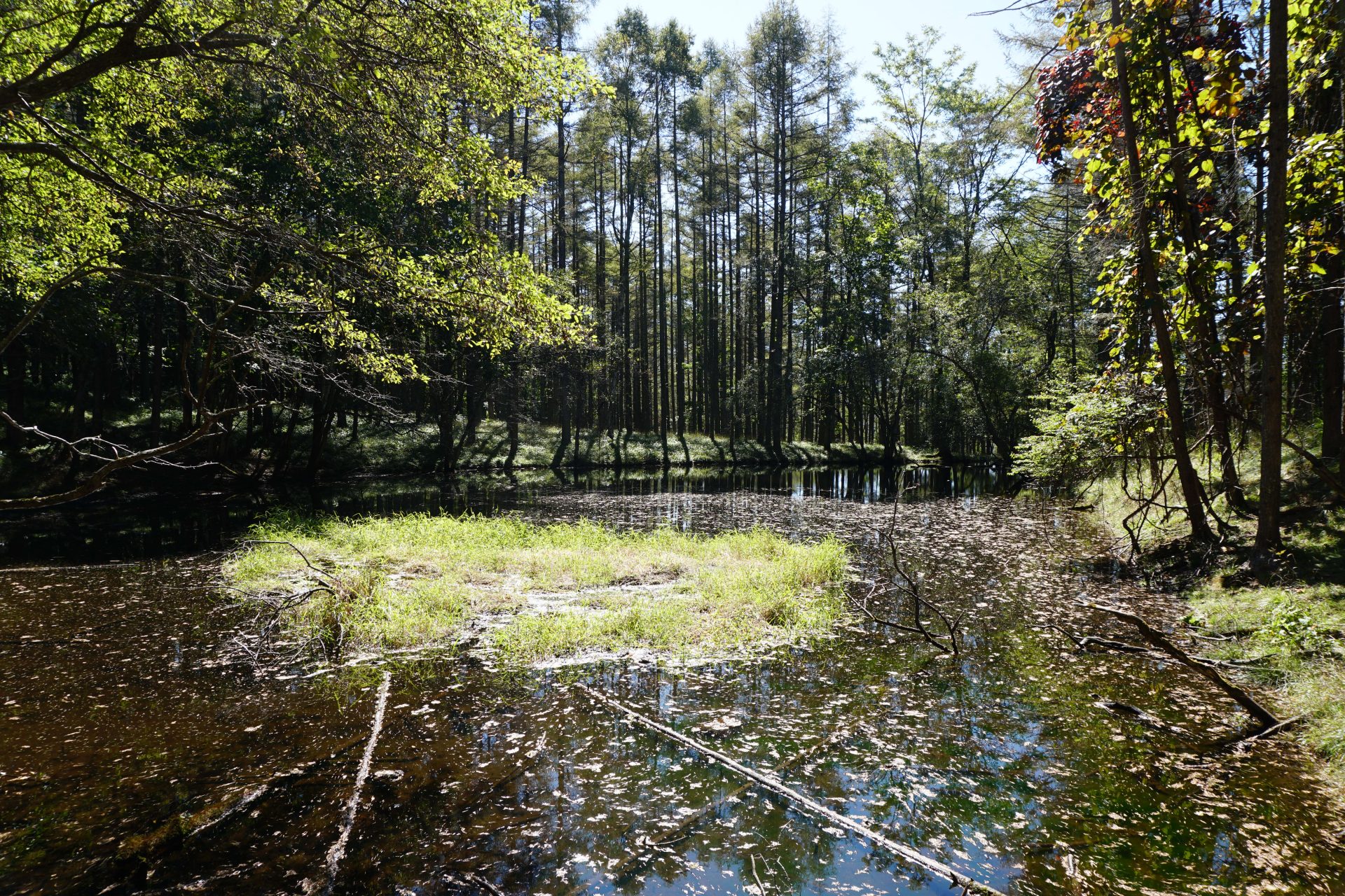
It is also said to be called Suzuran-yama because of its famous Suzuran trees, or Amakoi-yama because of the theory that it was used for a ceremony of rain-making. Located at the northern edge of the Southern Alps, the Fossa Magna of the so-called ITOSHIZU Tectonic Line passes just northeast of the mountain, making it a geologically valuable place. It is 1955 meters high and is a member of the 300 Famous Mountains. The area around the summit, including two marshlands, is an area of valuable flora and fauna, and is also one of the 100 most famous mountains for its flowers. The summit offers a spectacular 360-degree view, and 31 of Japan’s 100 most famous mountains can be seen from the summit (according to a survey by Manaslu sanso mountain hut). The mountain is close to the Tokyo metropolitan area, and you can take the gondola to the summit not only in the green season but also in the winter season, making it a place where you can easily enjoy the mountain throughout all seasons.
Mt. Nyukasa-yama: 1,955 meters above sea level
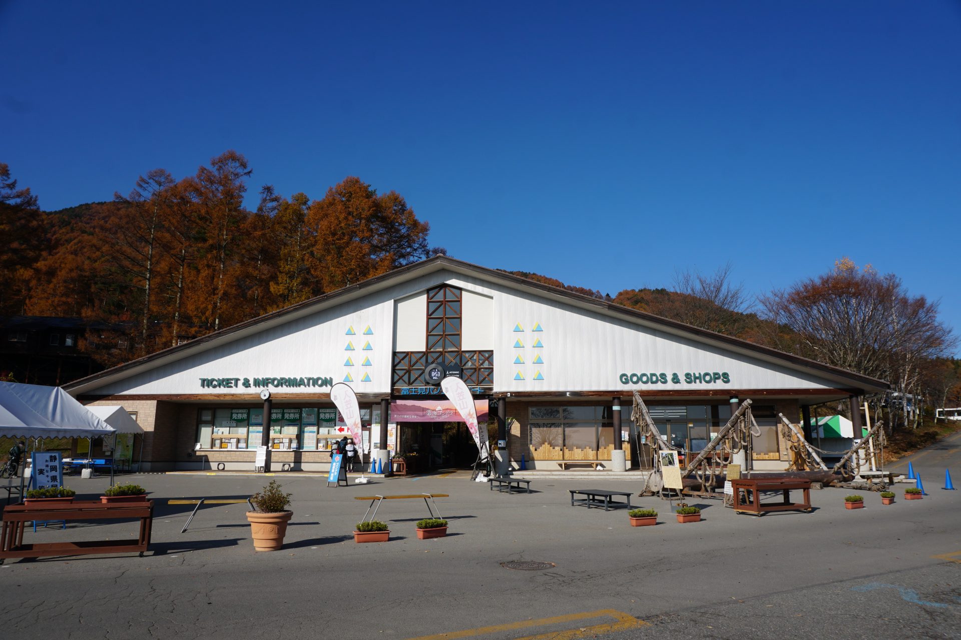
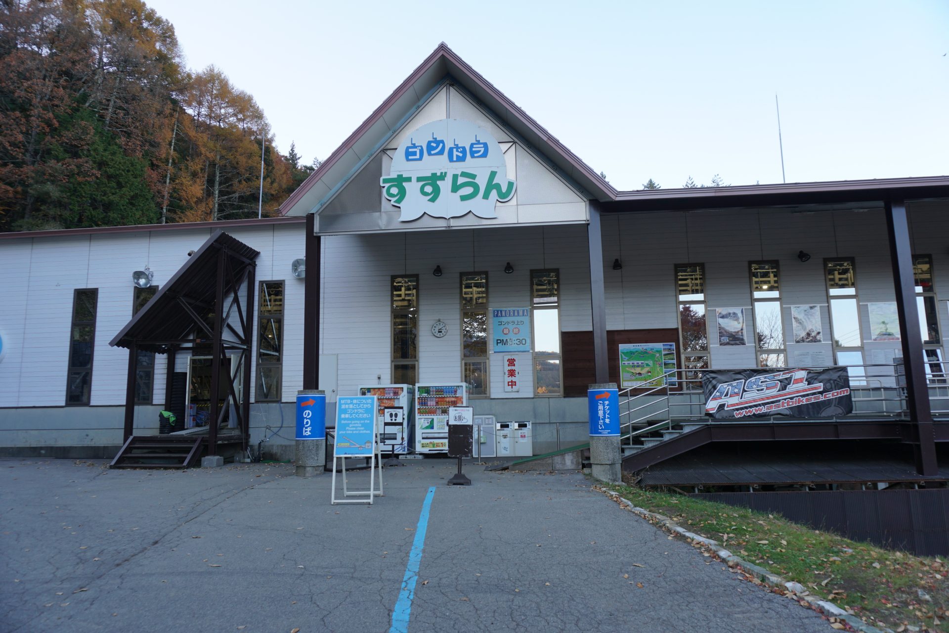
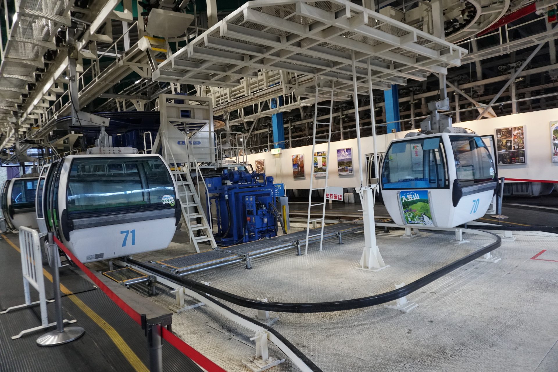
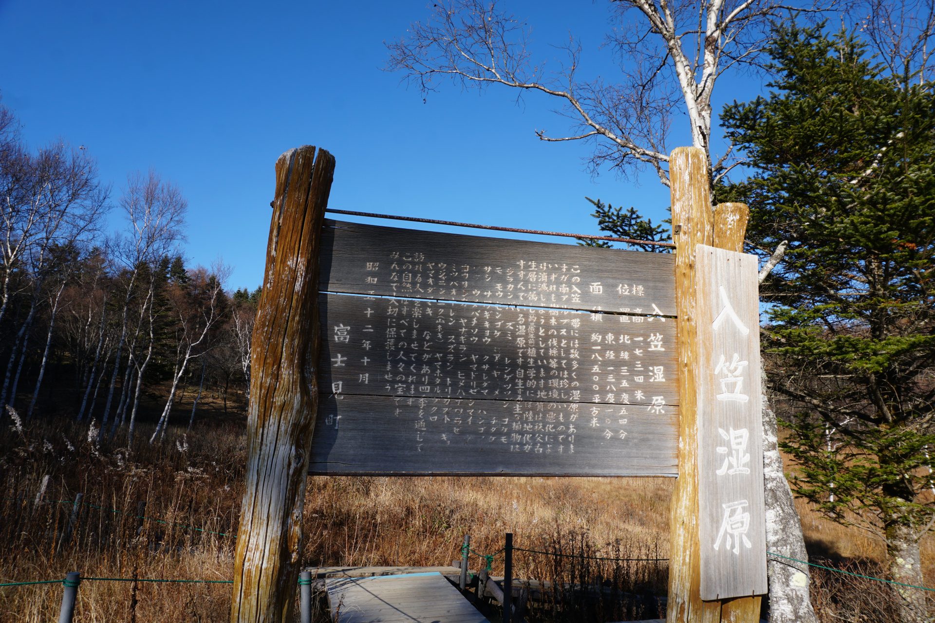
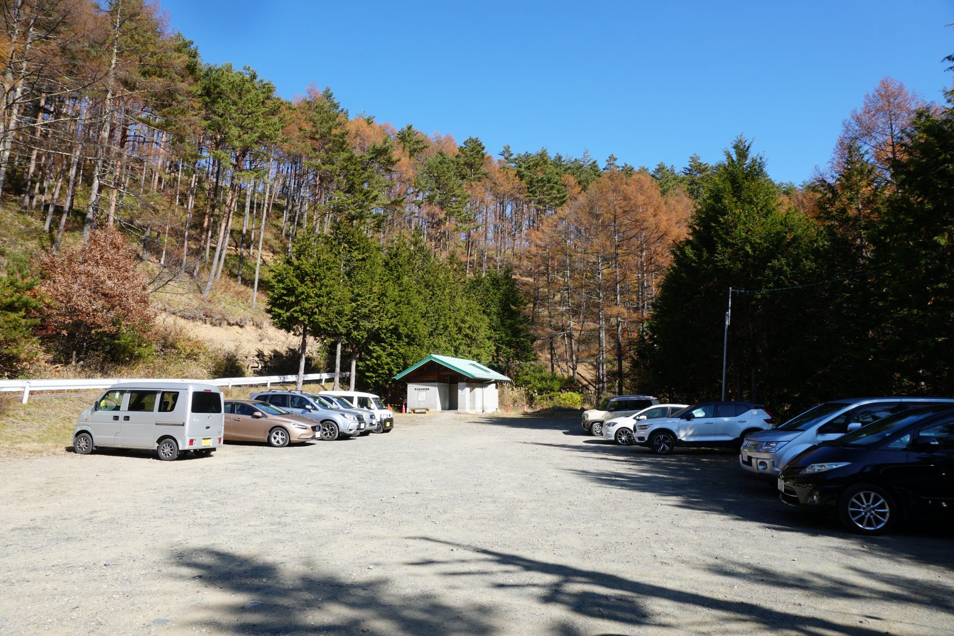
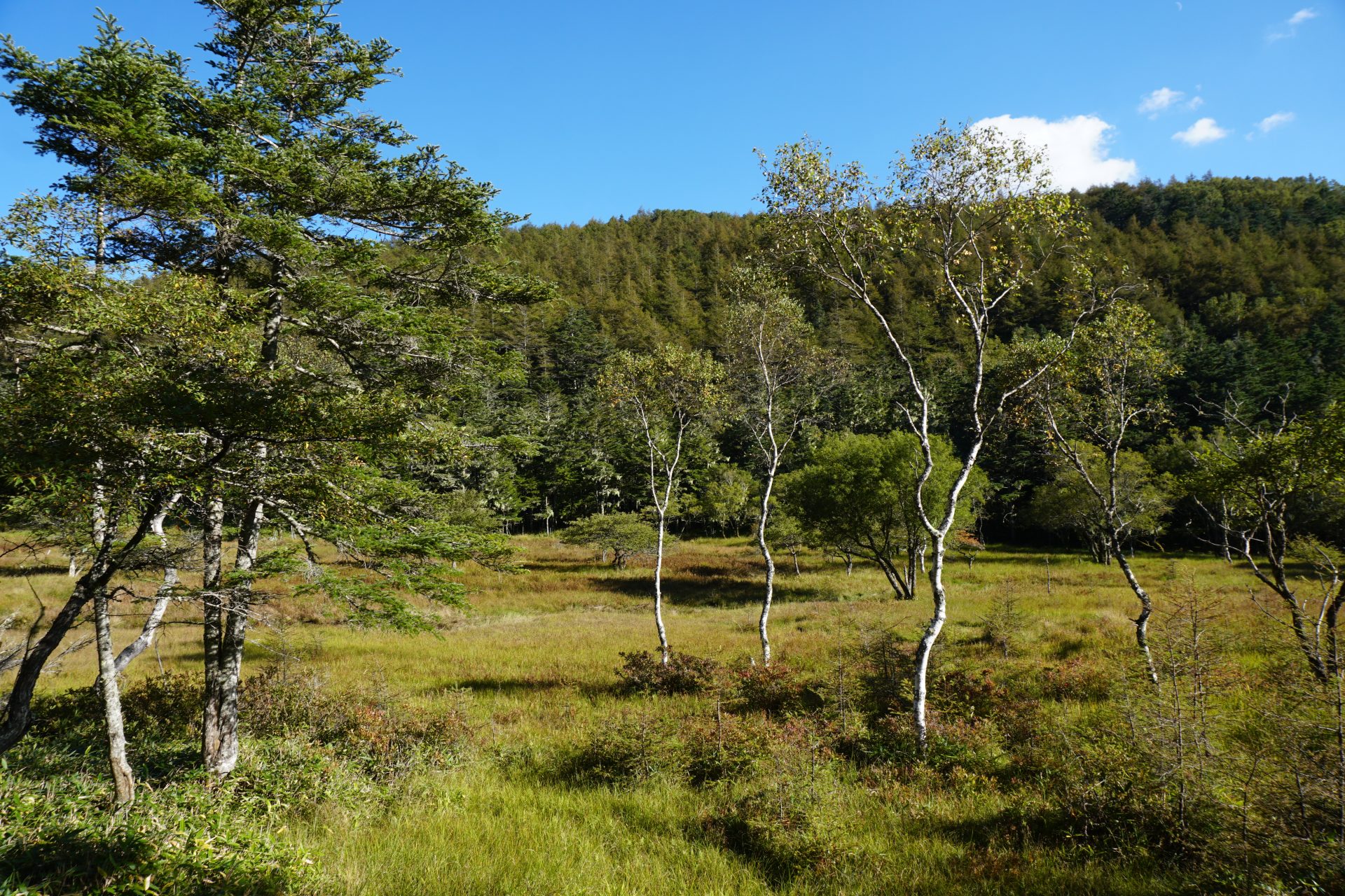
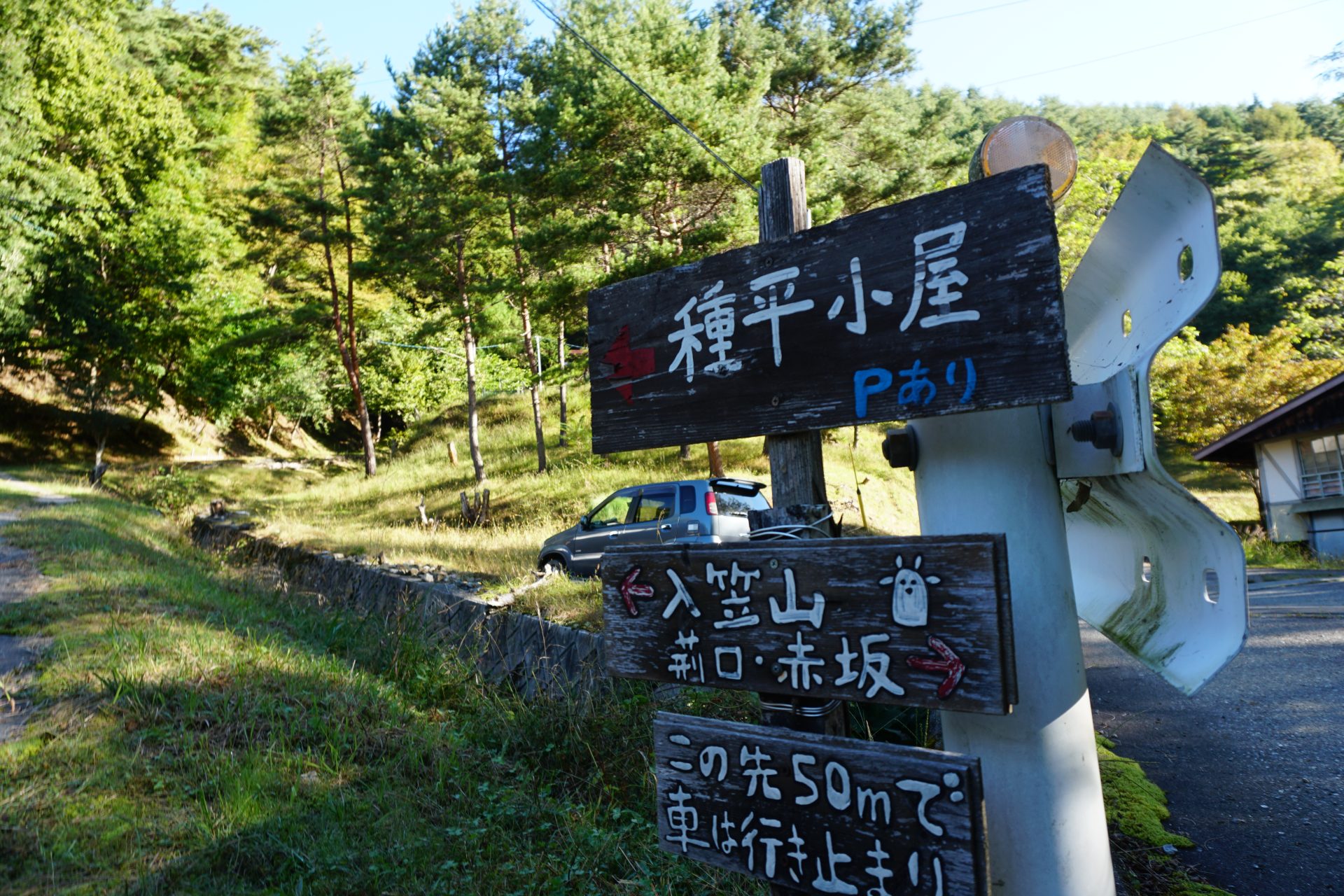
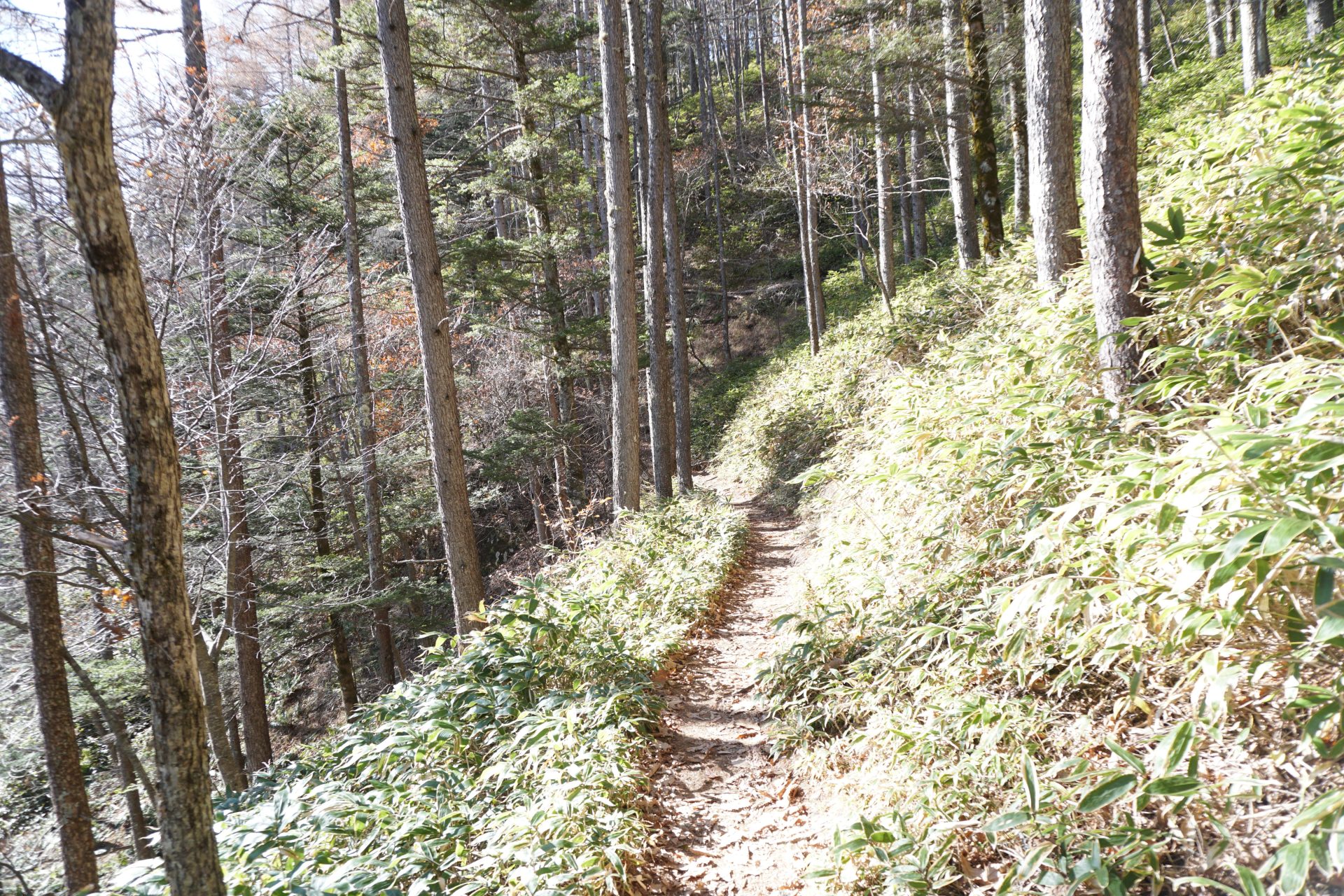
Mt. Nyukasa-yama can be reached from the Fujimi Town side by gondola from Fujimi Panorama Resort, which takes you close to the summit. From the gondola station, you can directly reach the summit of Mt. Nyukasa-yama in about an hour, but since it is a good opportunity, you can also go to the O-ahara wetlands and enjoy hiking in the surrounding area. If you go by car, you can go up to Sawairi Trailhead near the summit. From there, it takes as little as 1 hour and 30 minutes to reach the summit.
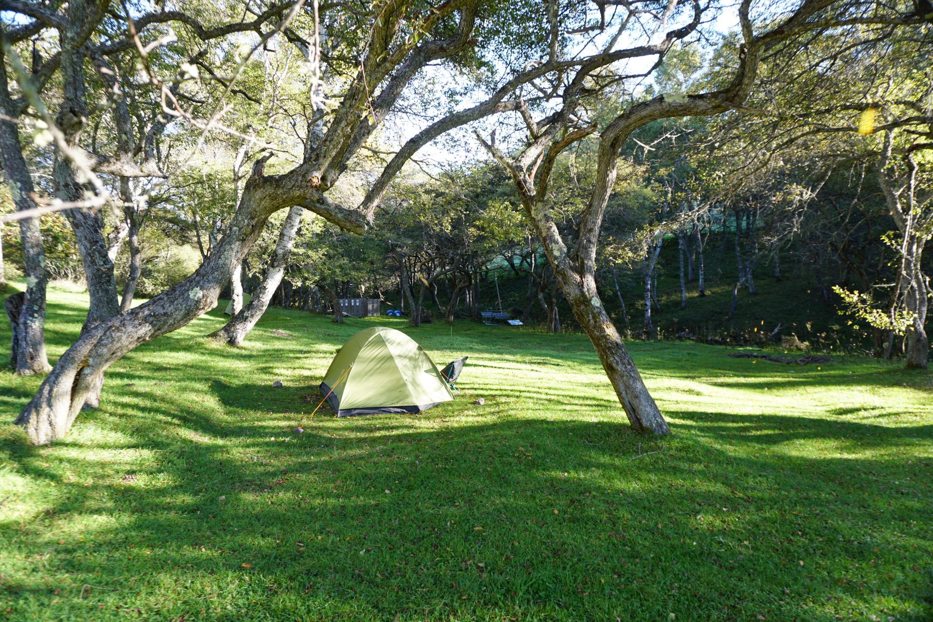
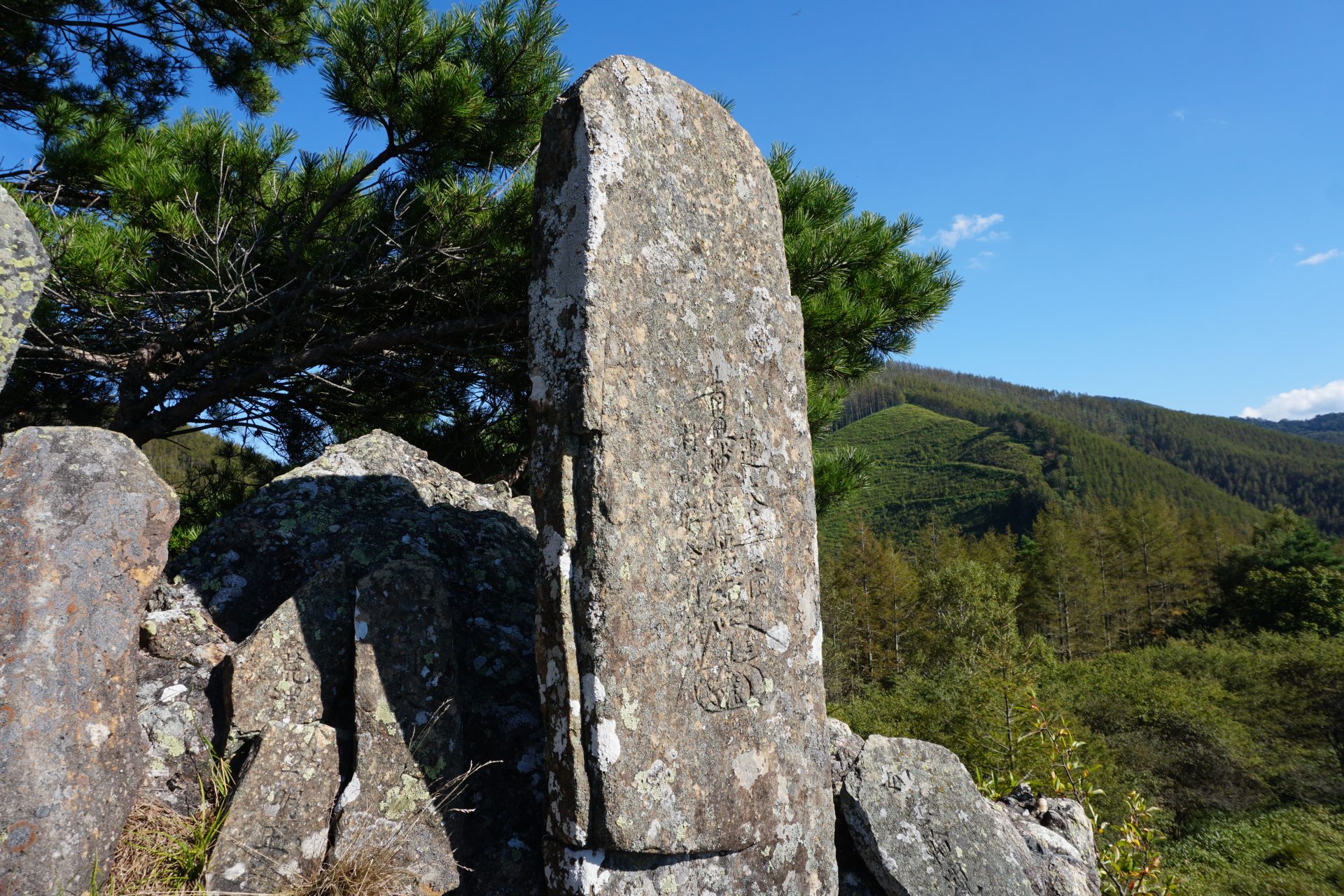
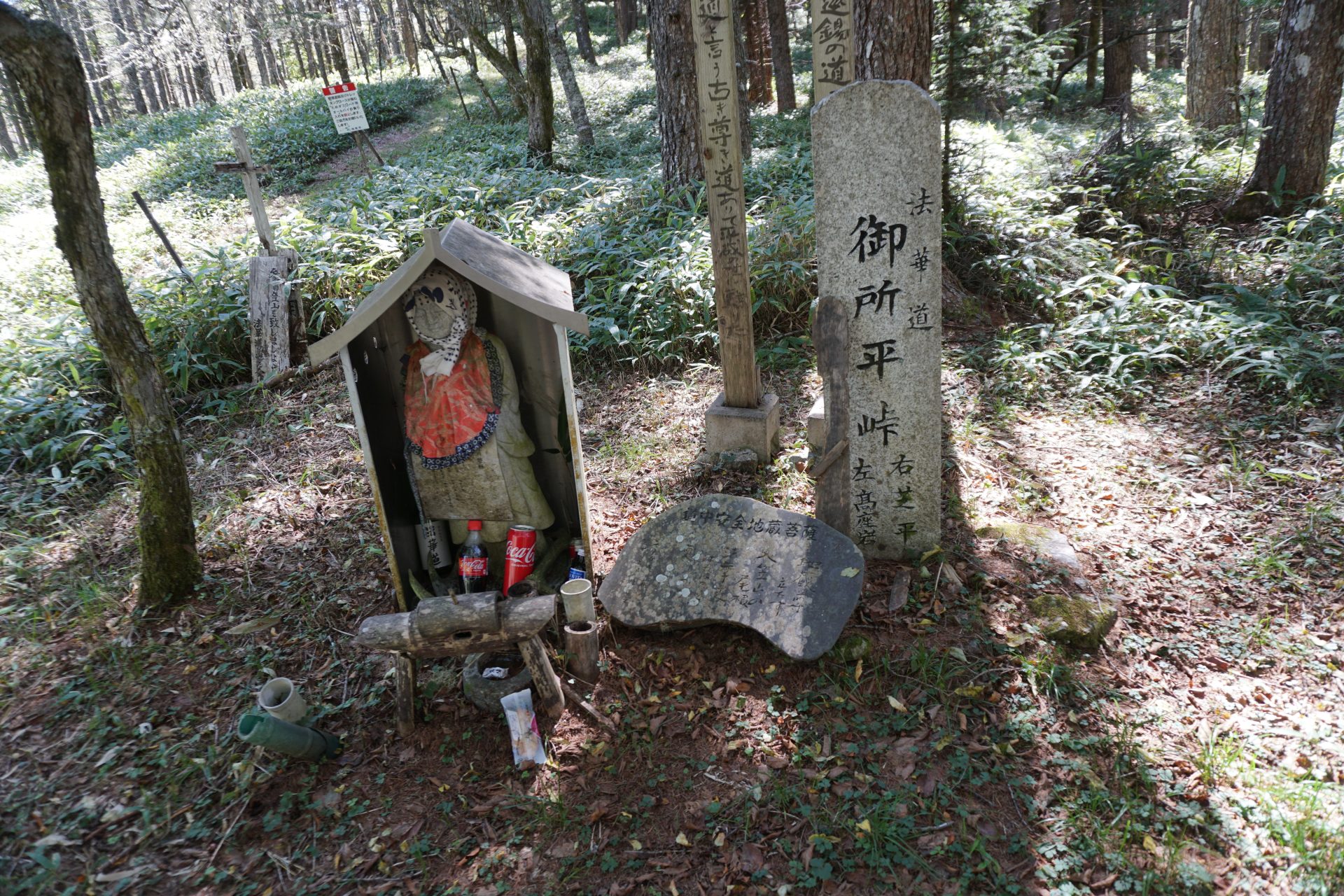
If you have the time and energy, you can also approach the summit from the Ina side by using an ancient trail called “Hokkemichi. You can enjoy climbing the mountain while visiting historical sites such as Koza-iwa and Gosho Ike. You can take a day trip from here, but if you want to enjoy the old trail at a leisurely pace, we recommend staying overnight at a mountain lodge or campsite.
Trailhead vicinity weather
Weekly weather forecast zone:Midwestern region of Yamanashi Prefecture
| DAY | WEATHER | LOWEST | HIGHEST |
|---|---|---|---|
| 7/14 | 23℃ | 31℃ | |
| 7/15 | 24℃ | 28℃ | |
| 7/16 | 24℃ | 30℃ | |
| 7/17 | 25℃ | 31℃ | |
| 7/18 | 24℃ | 35℃ | |
| 7/19 | 24℃ | 36℃ |
This is a publication of the calculated figures for weather predictions and is not the weather forecast. There are instances where there will be big differences in the values stated for the mountains, in accord with the topography as well as sunlight, etc. so please take care.
72 hours weather information:Kitazawa Pass, Hasaya Kurokouchi, Ina, Nagano Prefecture
| Date and time |
7/13 17:00 |
7/13 18:00 |
7/13 19:00 |
7/13 20:00 |
7/13 21:00 |
7/13 22:00 |
7/13 23:00 |
7/14 0:00 |
7/14 1:00 |
7/14 2:00 |
7/14 3:00 |
7/14 4:00 |
7/14 5:00 |
7/14 6:00 |
7/14 7:00 |
7/14 8:00 |
7/14 9:00 |
7/14 10:00 |
7/14 11:00 |
7/14 12:00 |
7/14 13:00 |
7/14 14:00 |
7/14 15:00 |
7/14 16:00 |
7/14 17:00 |
7/14 18:00 |
7/14 19:00 |
7/14 20:00 |
7/14 21:00 |
7/14 22:00 |
7/14 23:00 |
7/15 0:00 |
7/15 1:00 |
7/15 2:00 |
7/15 3:00 |
7/15 4:00 |
7/15 5:00 |
7/15 6:00 |
7/15 7:00 |
7/15 8:00 |
7/15 9:00 |
7/15 10:00 |
7/15 11:00 |
7/15 12:00 |
7/15 13:00 |
7/15 14:00 |
7/15 15:00 |
7/15 16:00 |
7/15 17:00 |
7/15 18:00 |
7/15 19:00 |
7/15 20:00 |
7/15 21:00 |
7/15 22:00 |
7/15 23:00 |
7/16 0:00 |
|---|---|---|---|---|---|---|---|---|---|---|---|---|---|---|---|---|---|---|---|---|---|---|---|---|---|---|---|---|---|---|---|---|---|---|---|---|---|---|---|---|---|---|---|---|---|---|---|---|---|---|---|---|---|---|---|---|
| Weather | ||||||||||||||||||||||||||||||||||||||||||||||||||||||||
| Temperature | 20℃ | 19℃ | 18℃ | 17℃ | 16℃ | 15℃ | 14℃ | 14℃ | 14℃ | 14℃ | 15℃ | 15℃ | 15℃ | 15℃ | 15℃ | 16℃ | 17℃ | 18℃ | 18℃ | 18℃ | 19℃ | 20℃ | 19℃ | 19℃ | 18℃ | 17℃ | 17℃ | 16℃ | 16℃ | 16℃ | 16℃ | 17℃ | 17℃ | 16℃ | 16℃ | 16℃ | 16℃ | 15℃ | 16℃ | 16℃ | 16℃ | 16℃ | 16℃ | 17℃ | 16℃ | 17℃ | 17℃ | 18℃ | 17℃ | 17℃ | 17℃ | 15℃ | 15℃ | 14℃ | 14℃ | 14℃ |
| Precipitation | 0mm/h | 0mm/h | 0mm/h | 0mm/h | 0mm/h | 0mm/h | 0mm/h | 0mm/h | 0mm/h | 0mm/h | 0mm/h | 0mm/h | 0mm/h | 0mm/h | 0mm/h | ※ 16時間以降は表示されません | ||||||||||||||||||||||||||||||||||||||||
| Wind direction |
0m/s |
south-southwest 1m/s |
0m/s |
0m/s |
south-southwest 1m/s |
south-southwest 1m/s |
south-southwest 1m/s |
south-southwest 2m/s |
south-southwest 2m/s |
south-southwest 2m/s |
south-southwest 2m/s |
south-southwest 2m/s |
south-southwest 3m/s |
south-southwest 2m/s |
south-southwest 2m/s |
south-southwest 2m/s |
south-southwest 2m/s |
south-southwest 2m/s |
south-southwest 2m/s |
south-southwest 2m/s |
south-southwest 1m/s |
south-southwest 1m/s |
south-southwest 1m/s |
south-southwest 1m/s |
south-southwest 2m/s |
south-southwest 2m/s |
south-southwest 2m/s |
south-southwest 1m/s |
south-southwest 1m/s |
south-southwest 1m/s |
south-southwest 1m/s |
south-southwest 2m/s |
south-southwest 1m/s |
south-southwest 2m/s |
south-southwest 2m/s |
south-southwest 1m/s |
south-southwest 2m/s |
south-southwest 1m/s |
south-southwest 1m/s |
south-southwest 1m/s |
south-southwest 1m/s |
south-southwest 1m/s |
south-southwest 1m/s |
south-southwest 1m/s |
south-southwest 2m/s |
south-southwest 1m/s |
south-southwest 1m/s |
south-southwest 1m/s |
south-southwest 1m/s |
south-southwest 1m/s |
south-southwest 1m/s |
south-southwest 1m/s |
south-southwest 2m/s |
south-southwest 2m/s |
south-southwest 2m/s |
south-southwest 3m/s |
※The weather information will be information on 5km square including the relevant point.
※天気予報マークは一次細分区域から表示しています
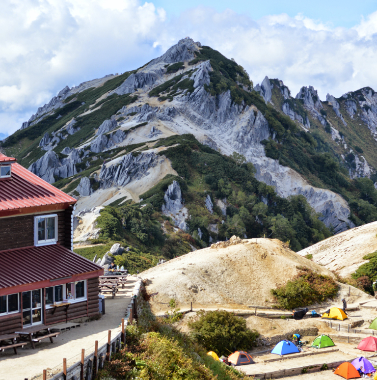
View of Mt. Nyukasa-yama