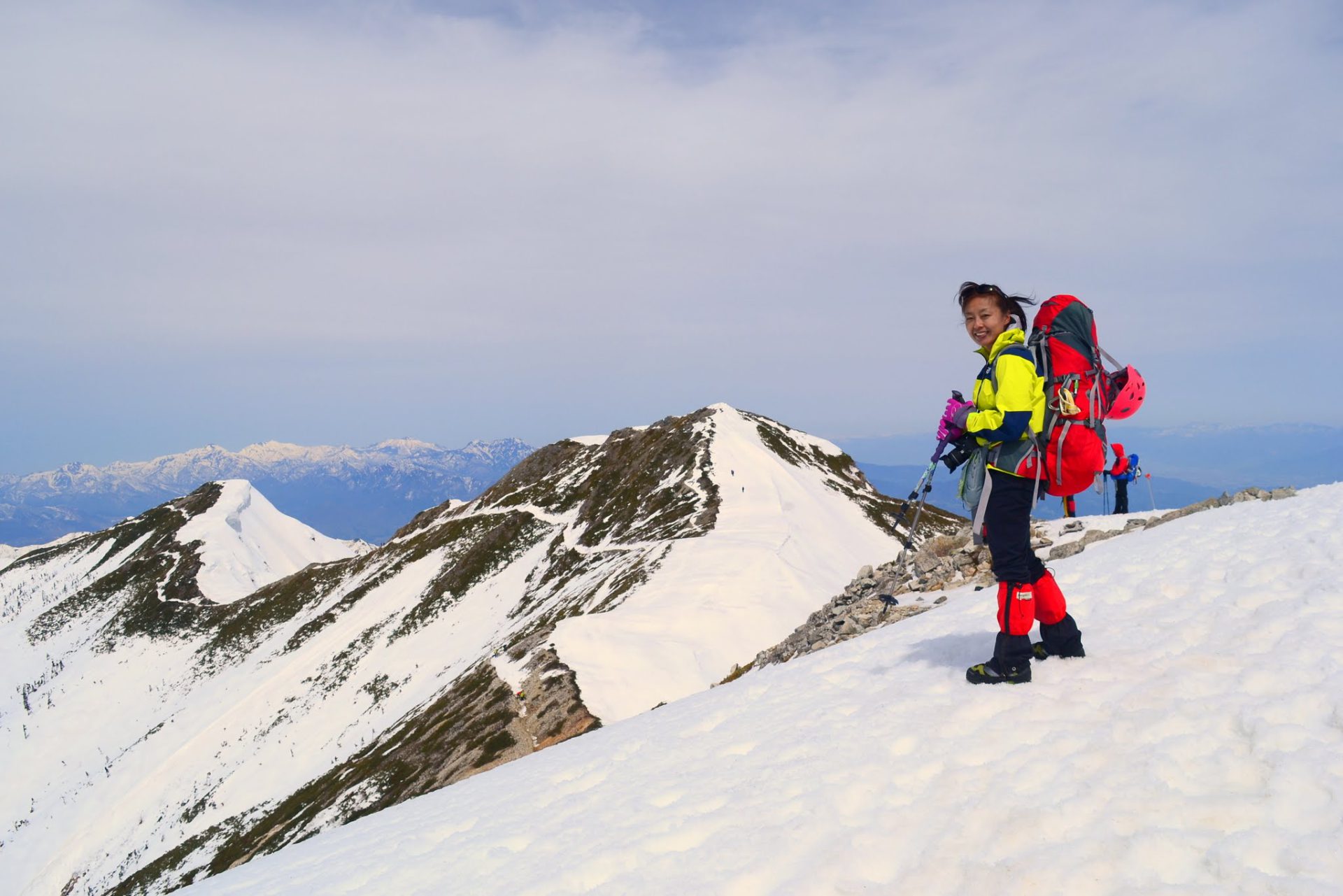
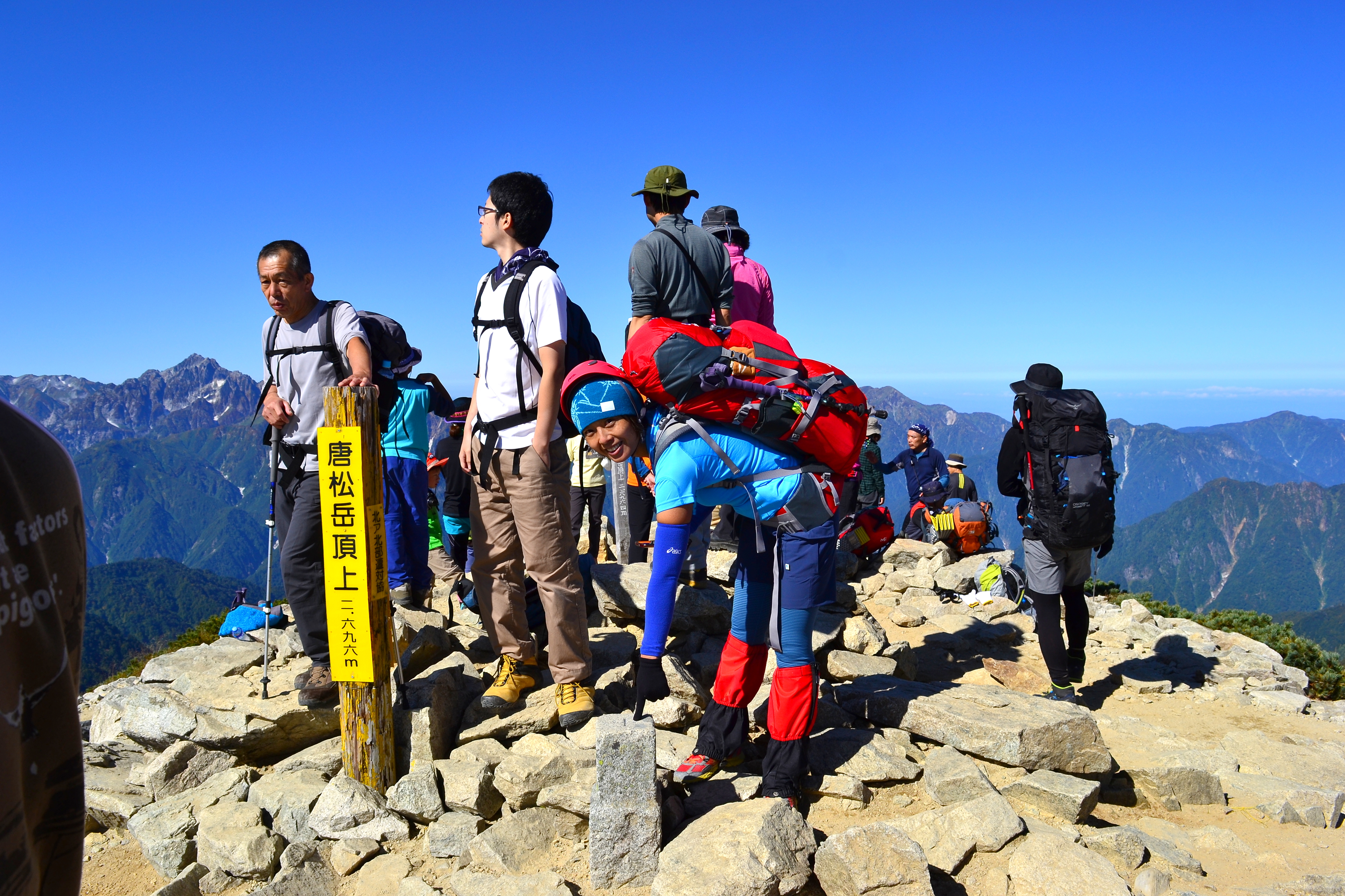
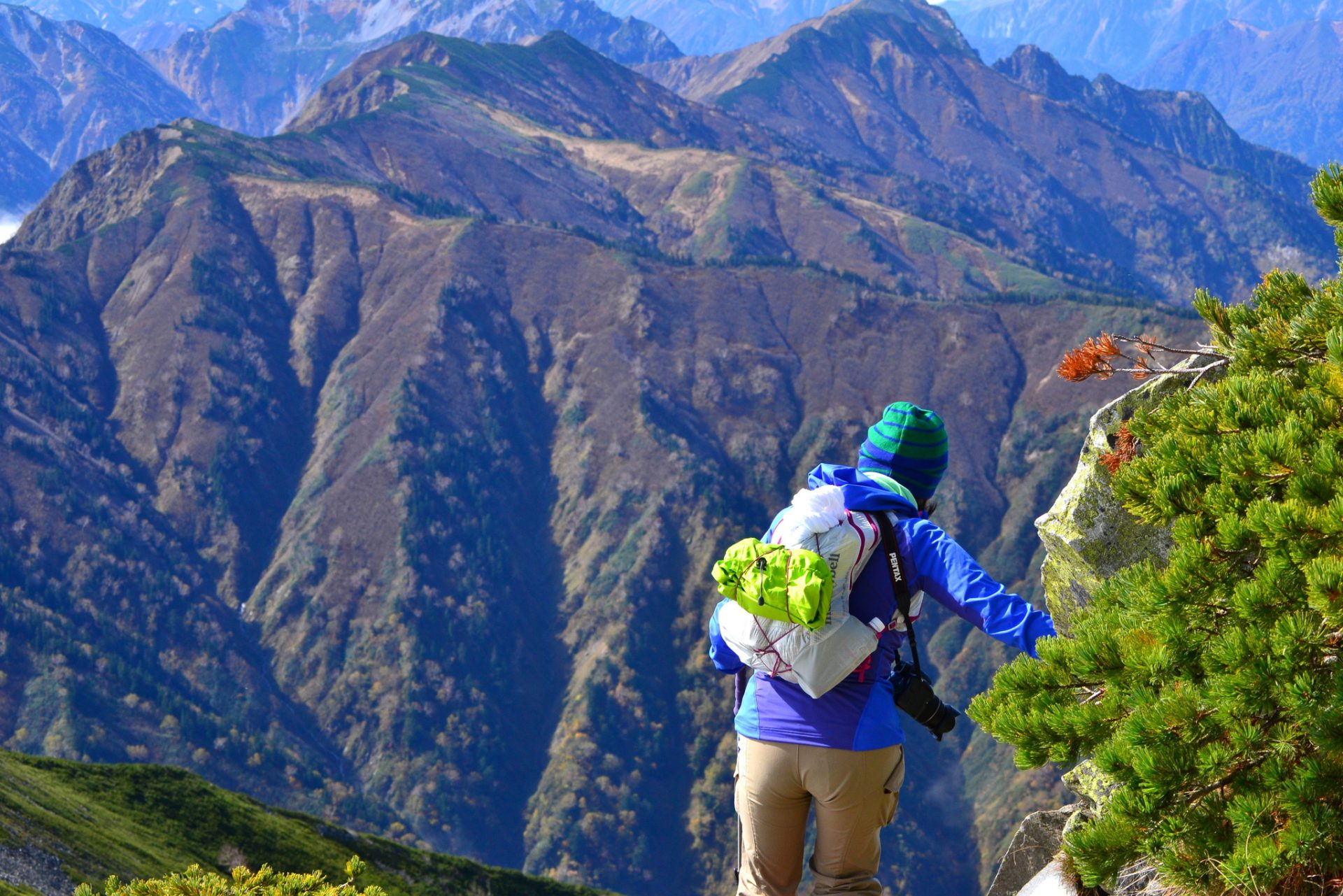
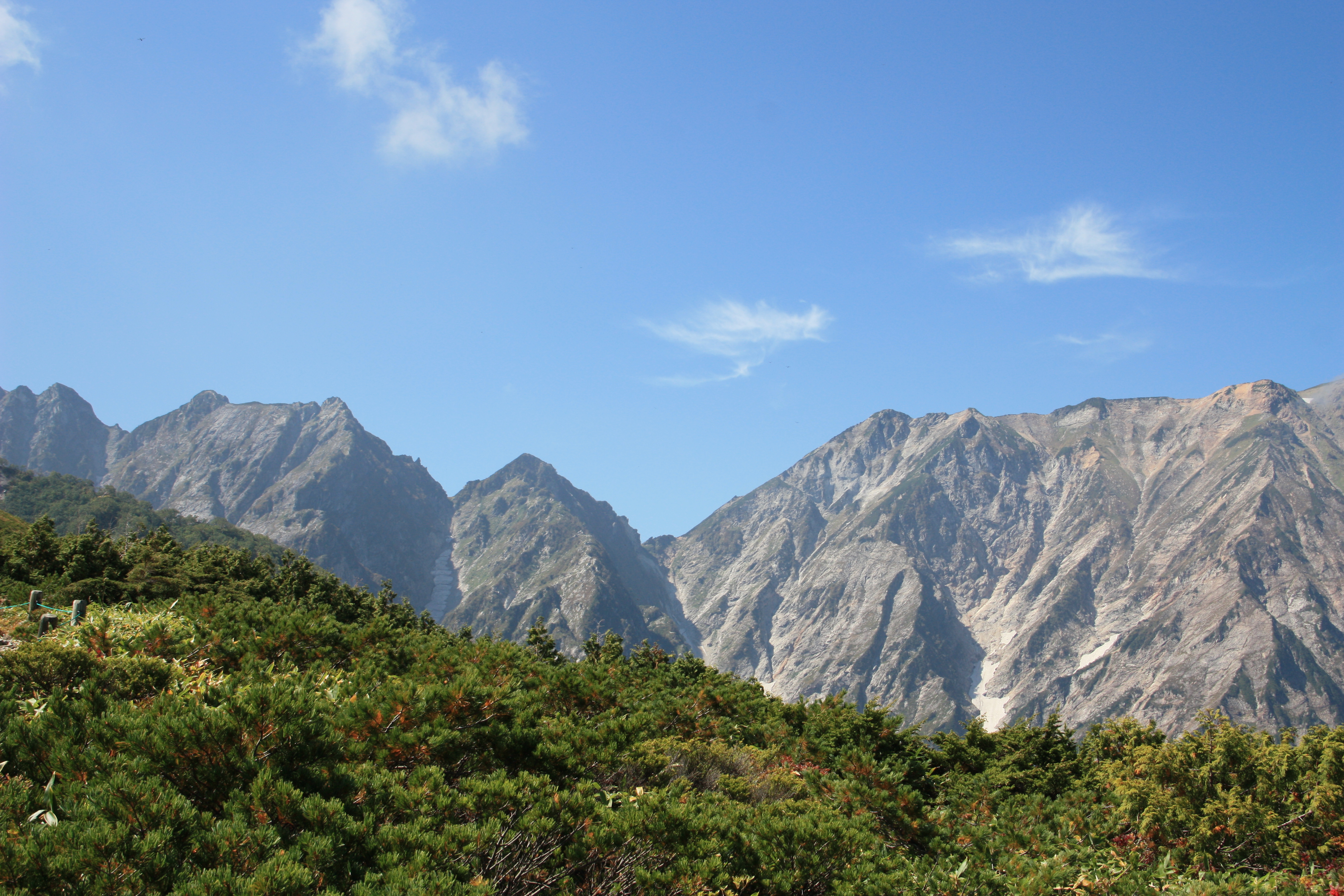
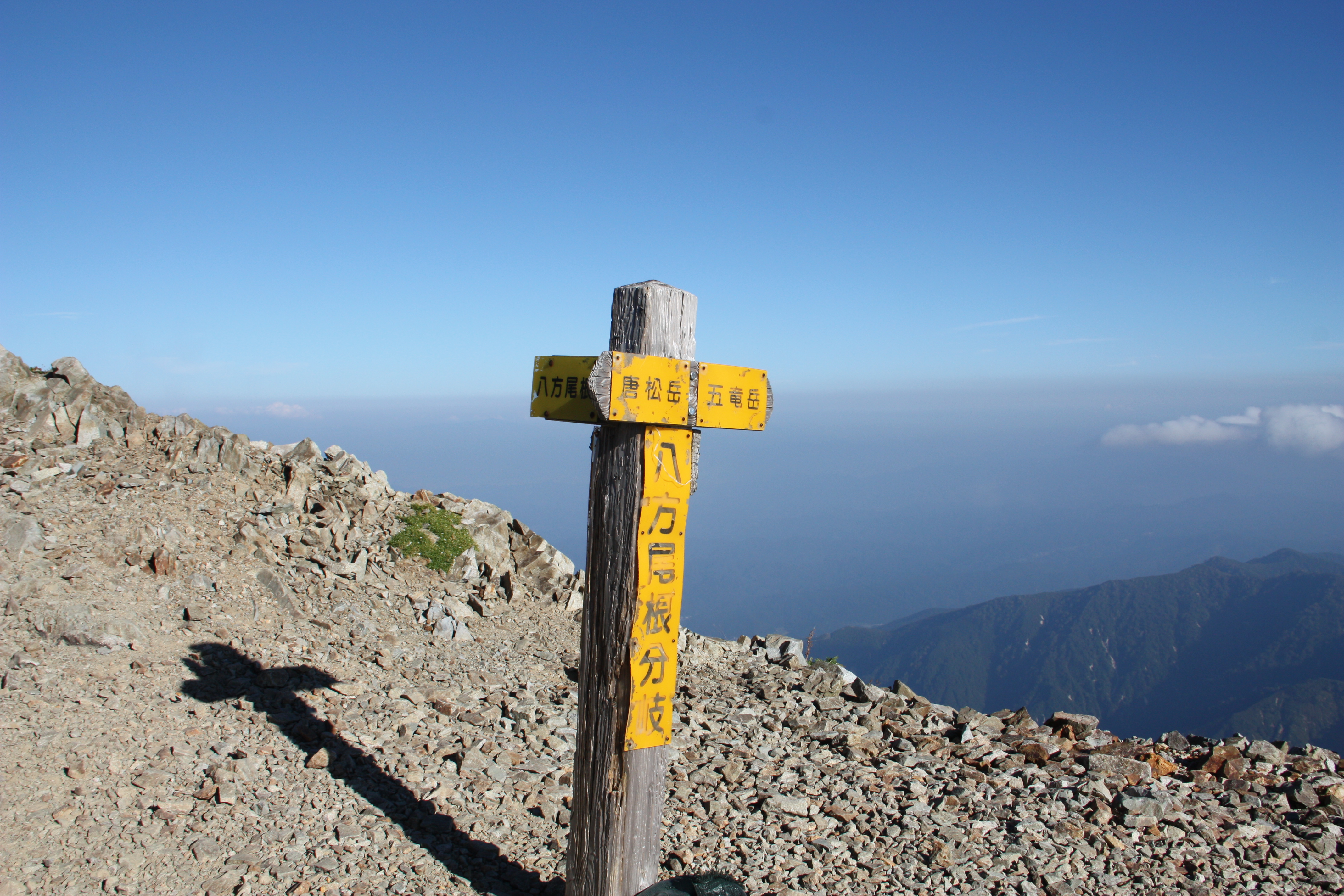
This mountain stands at an elevation of 2,695m and belongs to the Ushiro-tateyama peaks in the Hida Mountains. Ski lifts and gondolas can be used up to an elevation of about 1,800m, so even novice climbers can hike Mt. Karamatsu-dake with ease. The summit is located on the ridge connecting Mt. Hakuba-dake and Mt. Kashima-yari-gatake, but without someone experienced accompanying you, it is impossible to proceed either north or south. That is how tough this ridgeline is, and why many people want to attempt hiking it. I often see beginning mountaineers taking on this challenge, but you should not attempt to reach the summit if you don’t have someone experienced with you. In that case, request a mountain guide.
Karamatsu-dake:Elevation 2,695m Climbing
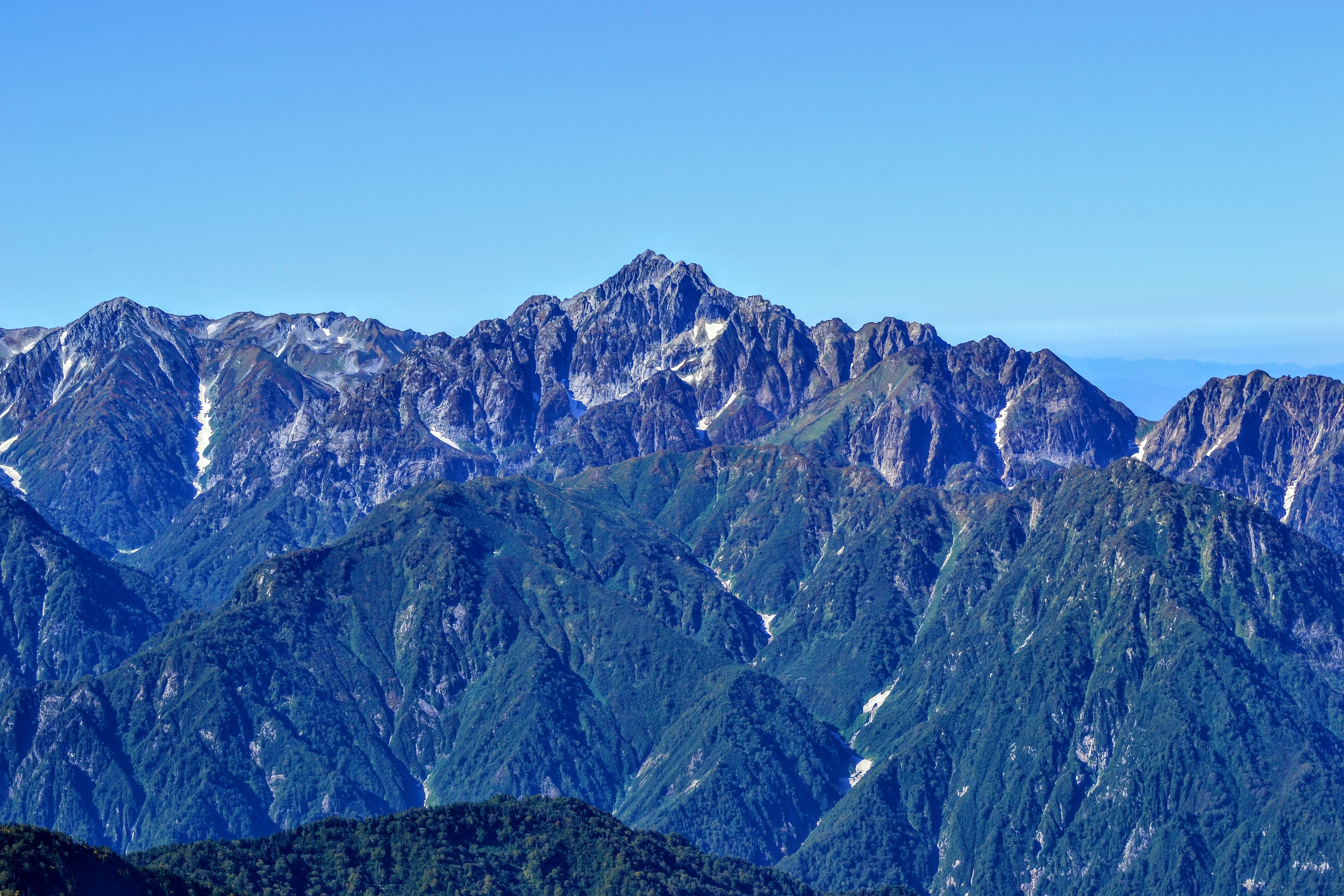
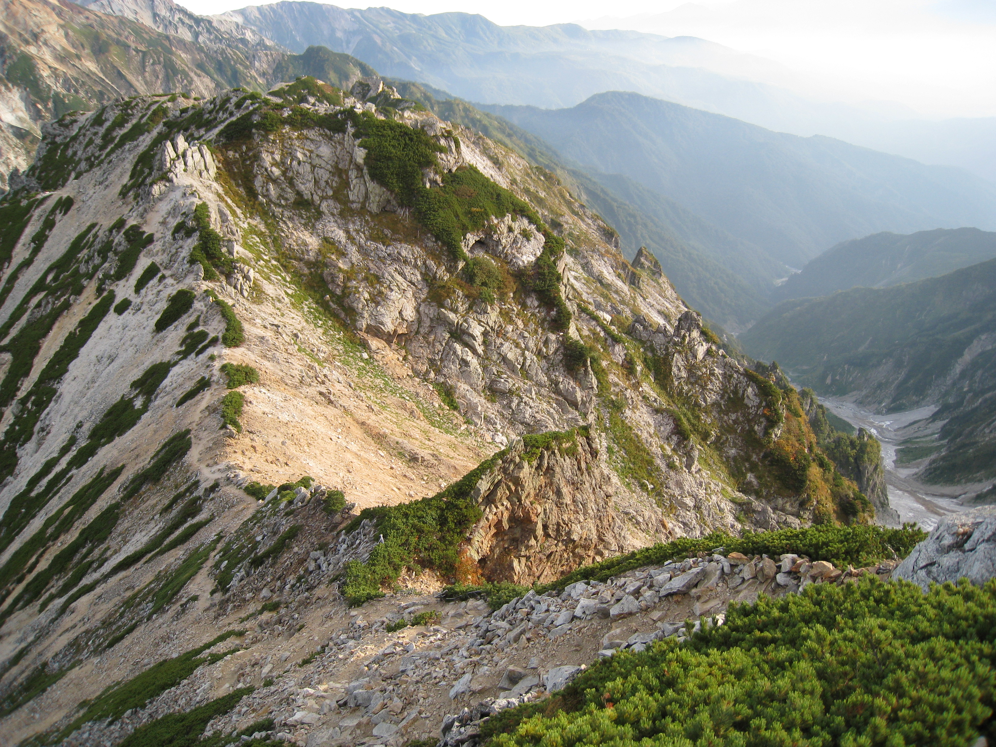
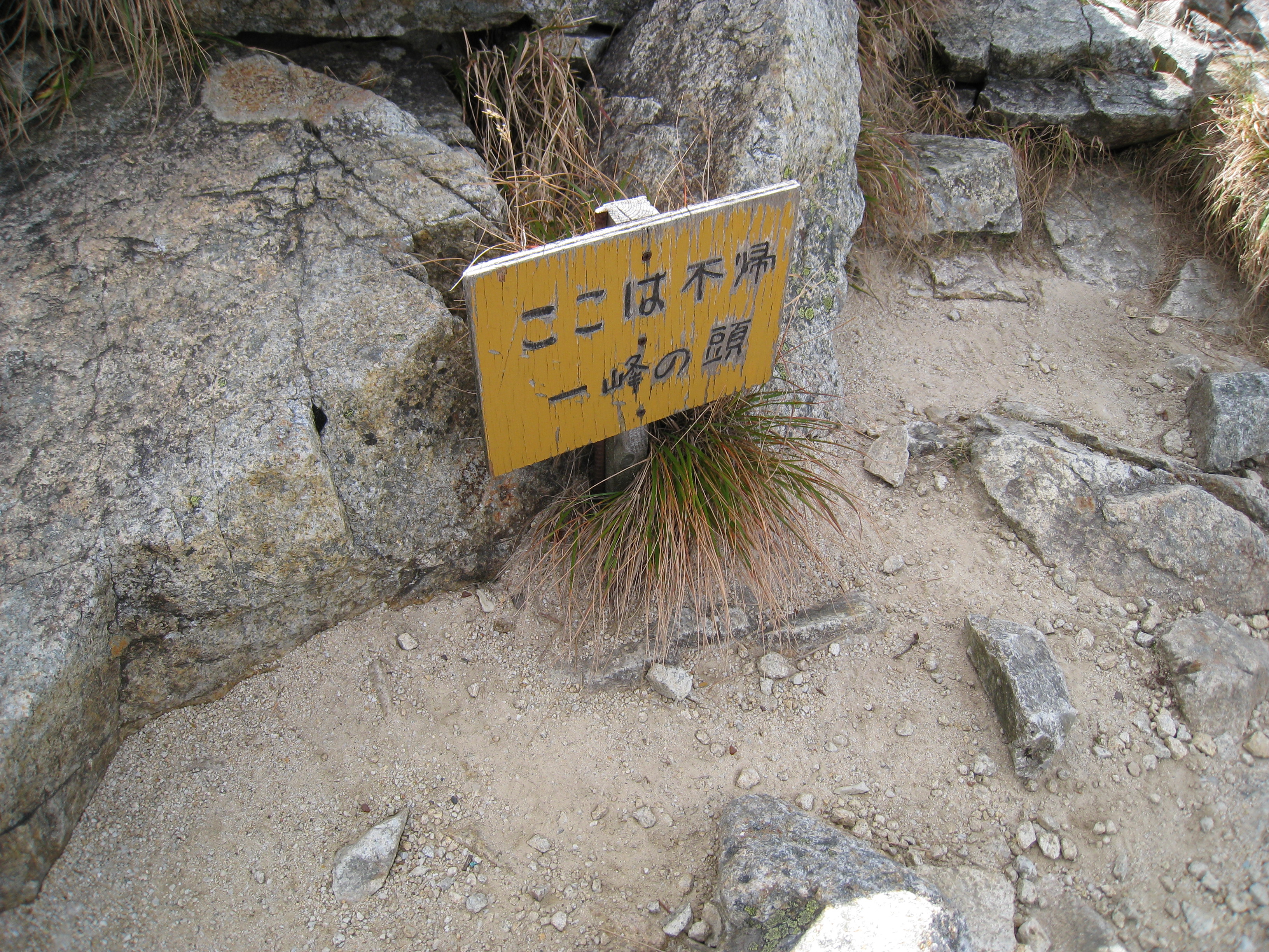
To the north of the Mt. Karamatsu-dake summit is Kaerazu-no-ken, and to the south are the dangers of Ushikubi-no-kashira followed by Mt. Goryu-dake and Kiretto. Traversing it can be somewhat scary, but it offers all of the thrill of traverse mountain climbing.
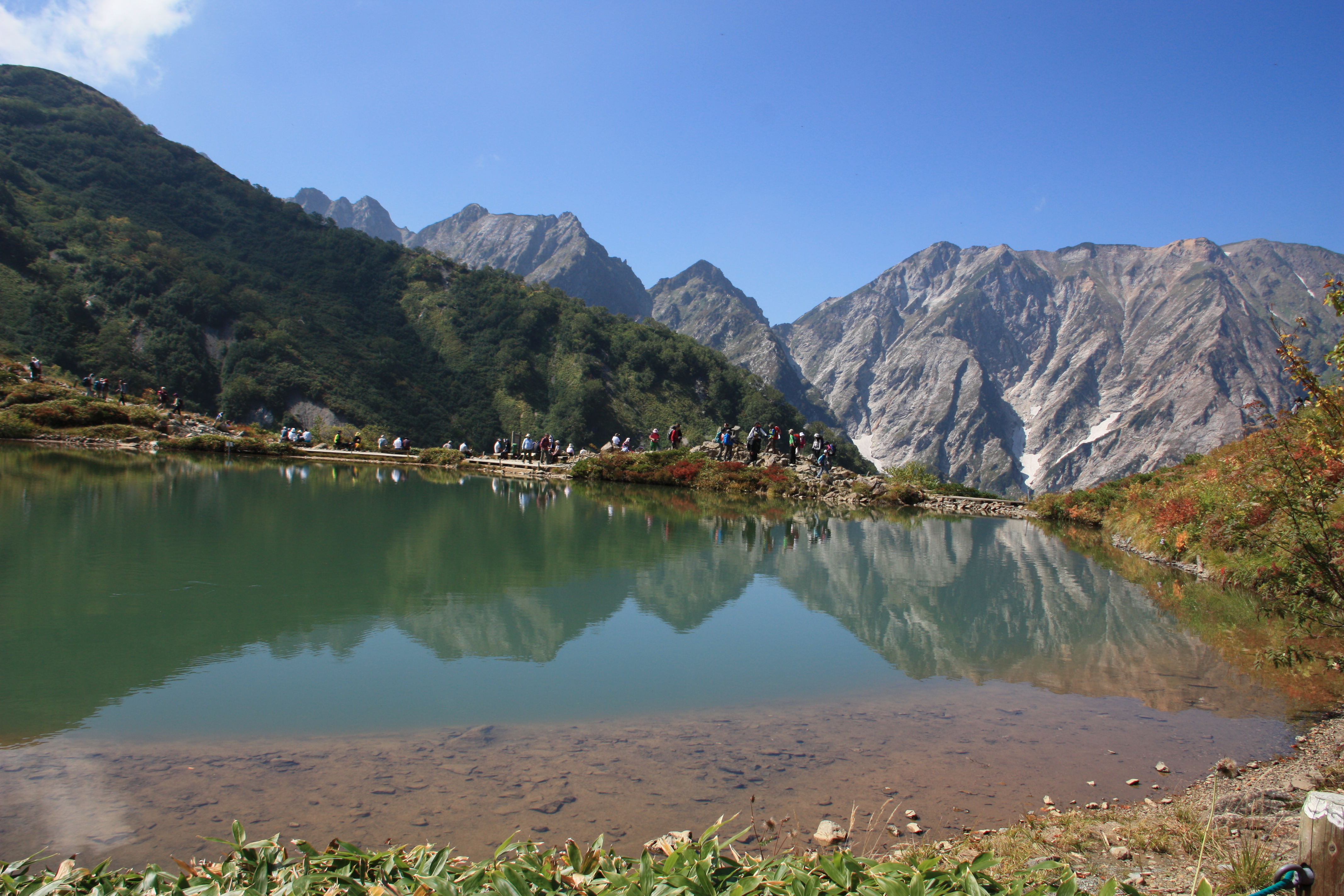
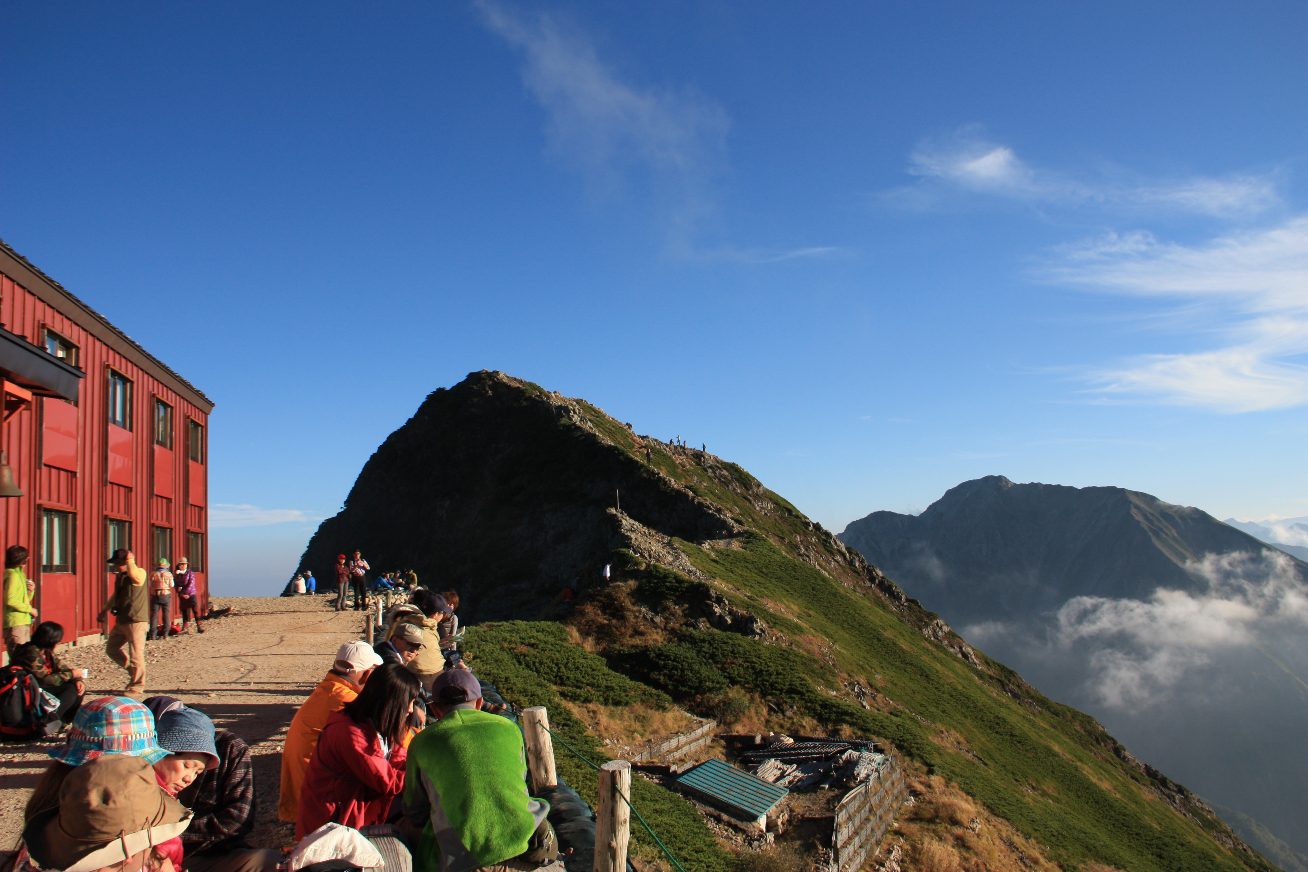
There are several mountain huts along this ridge that have been built with 2 – 5 hours of walking time between them. They are characterized by the fact that many of these huts are large and well-equipped. The dangerous rocky areas are equipped with chains and ladders so that you can walk them safely. However, it is quite a long distance and requires concentration. Enjoy the traverse while taking in views of Mt. Tsurugi-dake, the Tateyama Mountains, the Yari and Hotaka Mountains, and Mt. Yatsu-gatake to the southeast.
Trailhead vicinity weather
Weekly weather forecast zone:Toyama Prefecture Eastern Region
| DAY | WEATHER | LOWEST | HIGHEST |
|---|---|---|---|
| 7/28 | 24℃ | 32℃ | |
| 7/29 | 23℃ | 33℃ | |
| 7/30 | 22℃ | 31℃ | |
| 7/31 | 23℃ | 30℃ | |
| 8/1 | 22℃ | 32℃ | |
| 8/2 | 23℃ | 34℃ |
This is a publication of the calculated figures for weather predictions and is not the weather forecast. There are instances where there will be big differences in the values stated for the mountains, in accord with the topography as well as sunlight, etc. so please take care.
72 hours weather information:Hakubagoryuusuki-ba, Hakubamuraooazakamisiroeiburu, Kamishiro, Kitaazumi Gun Hakuba Mura, Nagano Prefecture
| Date and time |
7/27 15:00 |
7/27 16:00 |
7/27 17:00 |
7/27 18:00 |
7/27 19:00 |
7/27 20:00 |
7/27 21:00 |
7/27 22:00 |
7/27 23:00 |
7/28 0:00 |
7/28 1:00 |
7/28 2:00 |
7/28 3:00 |
7/28 4:00 |
7/28 5:00 |
7/28 6:00 |
7/28 7:00 |
7/28 8:00 |
7/28 9:00 |
7/28 10:00 |
7/28 11:00 |
7/28 12:00 |
7/28 13:00 |
7/28 14:00 |
7/28 15:00 |
7/28 16:00 |
7/28 17:00 |
7/28 18:00 |
7/28 19:00 |
7/28 20:00 |
7/28 21:00 |
7/28 22:00 |
7/28 23:00 |
7/29 0:00 |
7/29 1:00 |
7/29 2:00 |
7/29 3:00 |
7/29 4:00 |
7/29 5:00 |
7/29 6:00 |
7/29 7:00 |
7/29 8:00 |
7/29 9:00 |
7/29 10:00 |
7/29 11:00 |
7/29 12:00 |
7/29 13:00 |
7/29 14:00 |
7/29 15:00 |
7/29 16:00 |
7/29 17:00 |
7/29 18:00 |
7/29 19:00 |
7/29 20:00 |
7/29 21:00 |
7/29 22:00 |
7/29 23:00 |
7/30 0:00 |
|---|---|---|---|---|---|---|---|---|---|---|---|---|---|---|---|---|---|---|---|---|---|---|---|---|---|---|---|---|---|---|---|---|---|---|---|---|---|---|---|---|---|---|---|---|---|---|---|---|---|---|---|---|---|---|---|---|---|---|
| Weather | ||||||||||||||||||||||||||||||||||||||||||||||||||||||||||
| Temperature | 24℃ | 24℃ | 23℃ | 22℃ | 21℃ | 20℃ | 20℃ | 20℃ | 20℃ | 20℃ | 19℃ | 20℃ | 20℃ | 20℃ | 20℃ | 19℃ | 20℃ | 20℃ | 20℃ | 21℃ | 20℃ | 21℃ | 21℃ | 21℃ | 21℃ | 21℃ | 21℃ | 20℃ | 20℃ | 19℃ | 18℃ | 18℃ | 18℃ | 17℃ | 17℃ | 17℃ | 17℃ | 16℃ | 16℃ | 16℃ | 17℃ | 19℃ | 21℃ | 22℃ | 22℃ | 23℃ | 23℃ | 23℃ | 23℃ | 23℃ | 22℃ | 21℃ | 20℃ | 19℃ | 18℃ | 18℃ | 17℃ | 17℃ |
| Precipitation | 0mm/h | 0mm/h | 0mm/h | 0mm/h | 0mm/h | 0mm/h | 0mm/h | 0mm/h | 0mm/h | 0mm/h | 0mm/h | 0mm/h | 0mm/h | 0mm/h | 0mm/h | ※ 16時間以降は表示されません | ||||||||||||||||||||||||||||||||||||||||||
| Wind direction |
west 1m/s |
west 1m/s |
west 2m/s |
west 1m/s |
west 1m/s |
west 1m/s |
west 1m/s |
west 1m/s |
west 1m/s |
west 1m/s |
west 1m/s |
west 3m/s |
west 3m/s |
west 3m/s |
west 3m/s |
west 3m/s |
west 3m/s |
west 3m/s |
west 4m/s |
west 4m/s |
west 4m/s |
west 3m/s |
west 3m/s |
west 3m/s |
west 4m/s |
west 4m/s |
west 4m/s |
west 4m/s |
west 4m/s |
west 3m/s |
west 2m/s |
west 2m/s |
west 2m/s |
west 2m/s |
west 2m/s |
west 2m/s |
west 2m/s |
west 2m/s |
west 2m/s |
west 2m/s |
west 2m/s |
west 2m/s |
west 2m/s |
west 2m/s |
west 2m/s |
west 2m/s |
west 2m/s |
west 2m/s |
west 2m/s |
west 2m/s |
west 2m/s |
west 2m/s |
west 2m/s |
west 2m/s |
west 2m/s |
west 2m/s |
west 2m/s |
west 3m/s |
※The weather information will be information on 5km square including the relevant point.
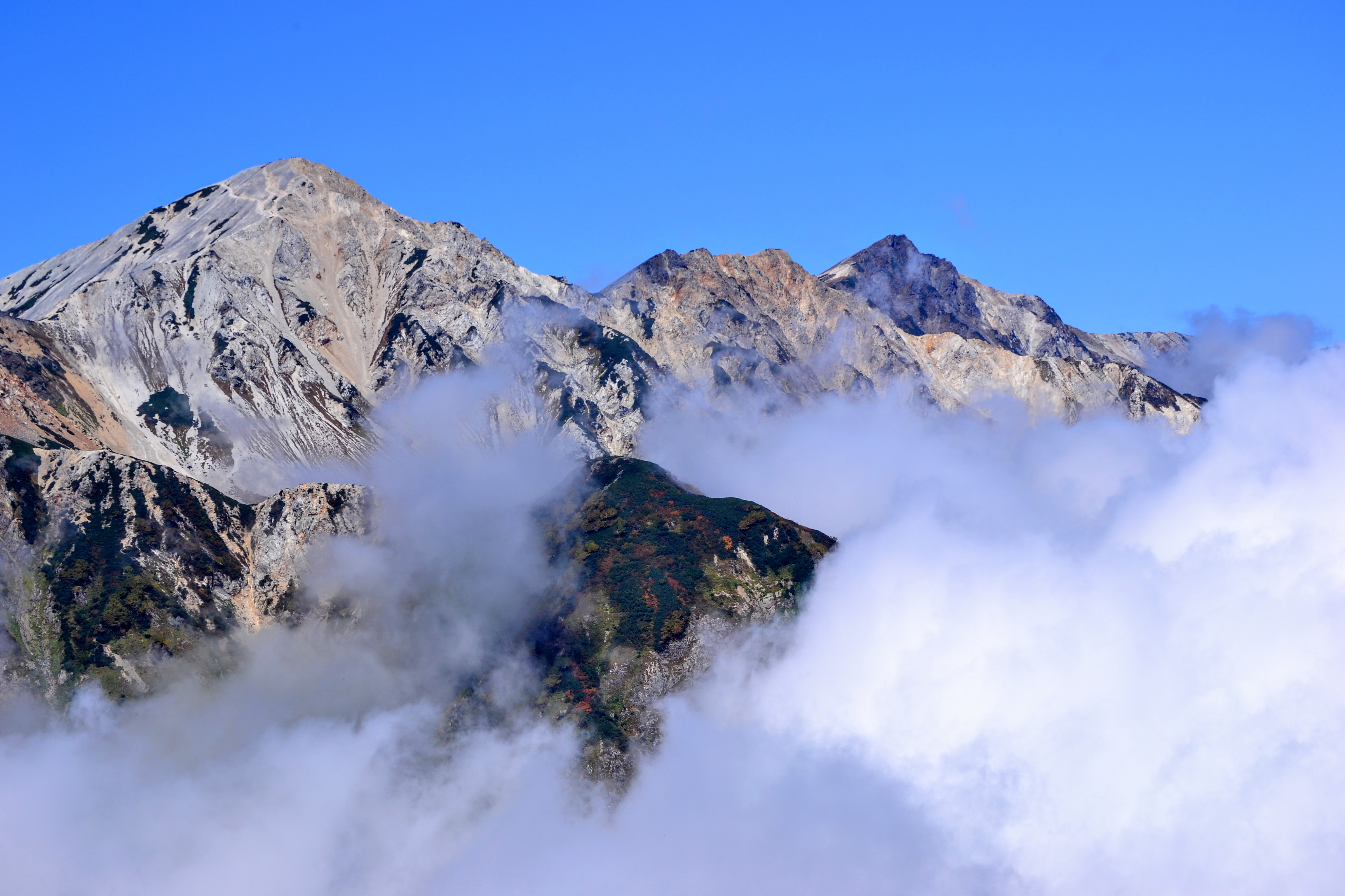
View of Karamatsu-dake