Araragi route
Ogoshi bus stop ~ Araragi campsite ~ Climber parking lot ~ Climbing/descending path branch ~ 2nd Kusari area (rock area) ~ Kabuto Rock ~ Mt. Nagiso summit ~ Nagisodake refuge hut/Alps observation deck~ Marishiten ~ Stream collapse ~ Climbing/descending path branch ~ Araragi trailhead ~ Ogoshi bus stop
Technical level: B
Physical strength level: 3
Difficulty level:★★
Using public transportation, approach Nagiso-dake’s main route, the Araragi Route, from the Ogoe bus stop. If you have a car, you can go near the Araragi trailhead.
The mountain trail is very steep both up and down as it was used by Shugendo for their training, but now there are detours and ladders even in the difficult climbing areas, so even beginners can reach the summit with a little effort. I should be able to go.
Access to trailhead for Mt. Nagiso-dake
●Hiking data
Schedule: Day One – It is difficult to make a day trip by bus unless you are a powerful walker, so if you are not going by car, take a taxi to the Araragi trailhead, which arrives earlier than the bus, and will allow for plenty of time to spare.
Walking hours: Araragi trailhead round trip 5 hours 30 minutes / Ogoshi bus stop round trip 8 hours 10 minutes (Climbing: From the Ogoshi bus stop to the mountaintop refuge hut 4 hours 30 minutes , 2 hours and 50 minutes from Araragi trailhead parking lot (2 hours 40 minutes from the descending mountaintop refuge hut to the Araragi trailhead, 3 hours 40 minutes to the Ogoshi bus stop)
Walking distance: 5.9 km from the trailhead 12.7 km from Ogoshi bus stop Difference in elevation: +791.7 m +1,116 m from Ogoe bus stop (cumulative elevation difference -791.7 m and -1,116 m)
Ogoshi bus stop

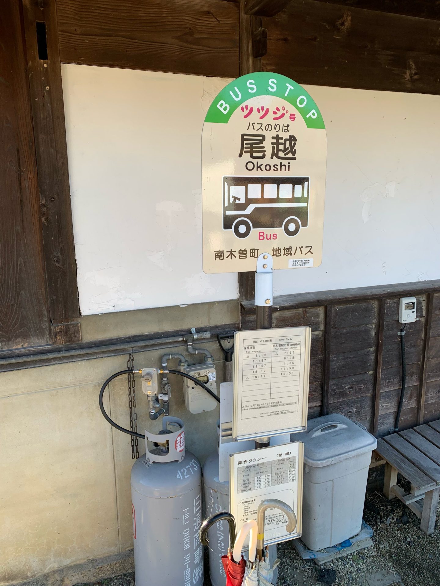
Elevation 682m
↓ 1 hour
Araragi campsite
Elevation 846m
↓ 40 minutes
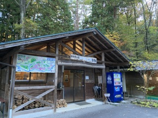
Climber parking lot


Elevation 965m
↓ 50 minutes
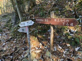
Climbing/descending path branch
Elevation 1,157m
↓ 50 minutes
2nd Kusari area (rock area)
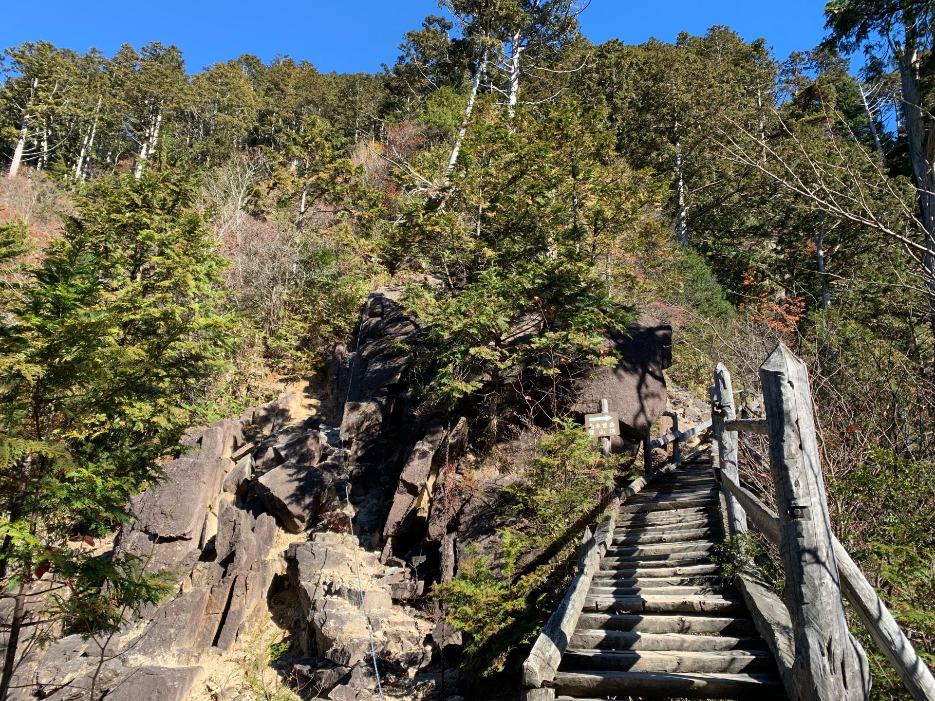
Elevation 1,453m
↓ 30 minutes
Kabuto Rock
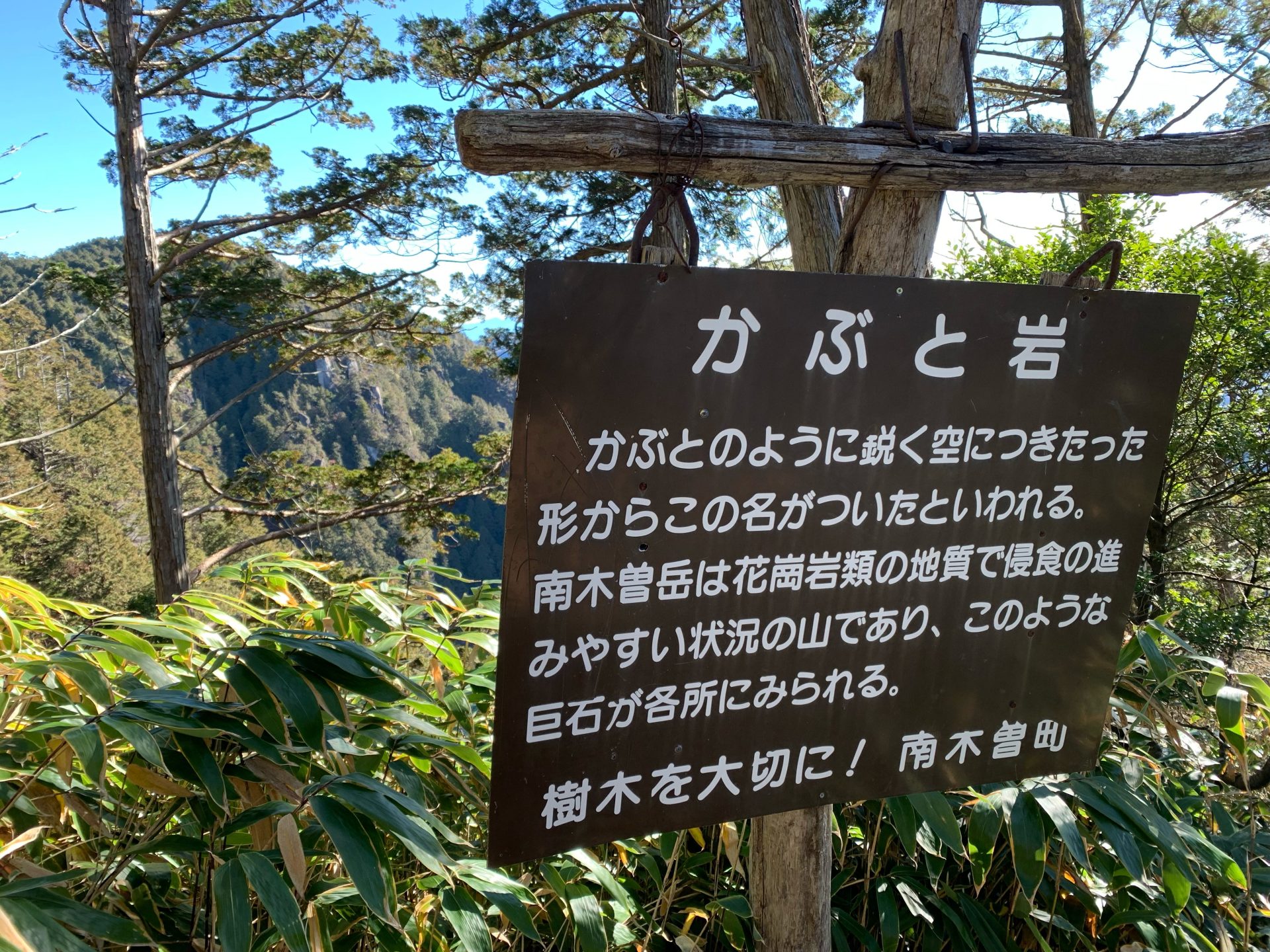
Elevation 1,559m
↓ 20 minutes
Mt. Nagiso summit
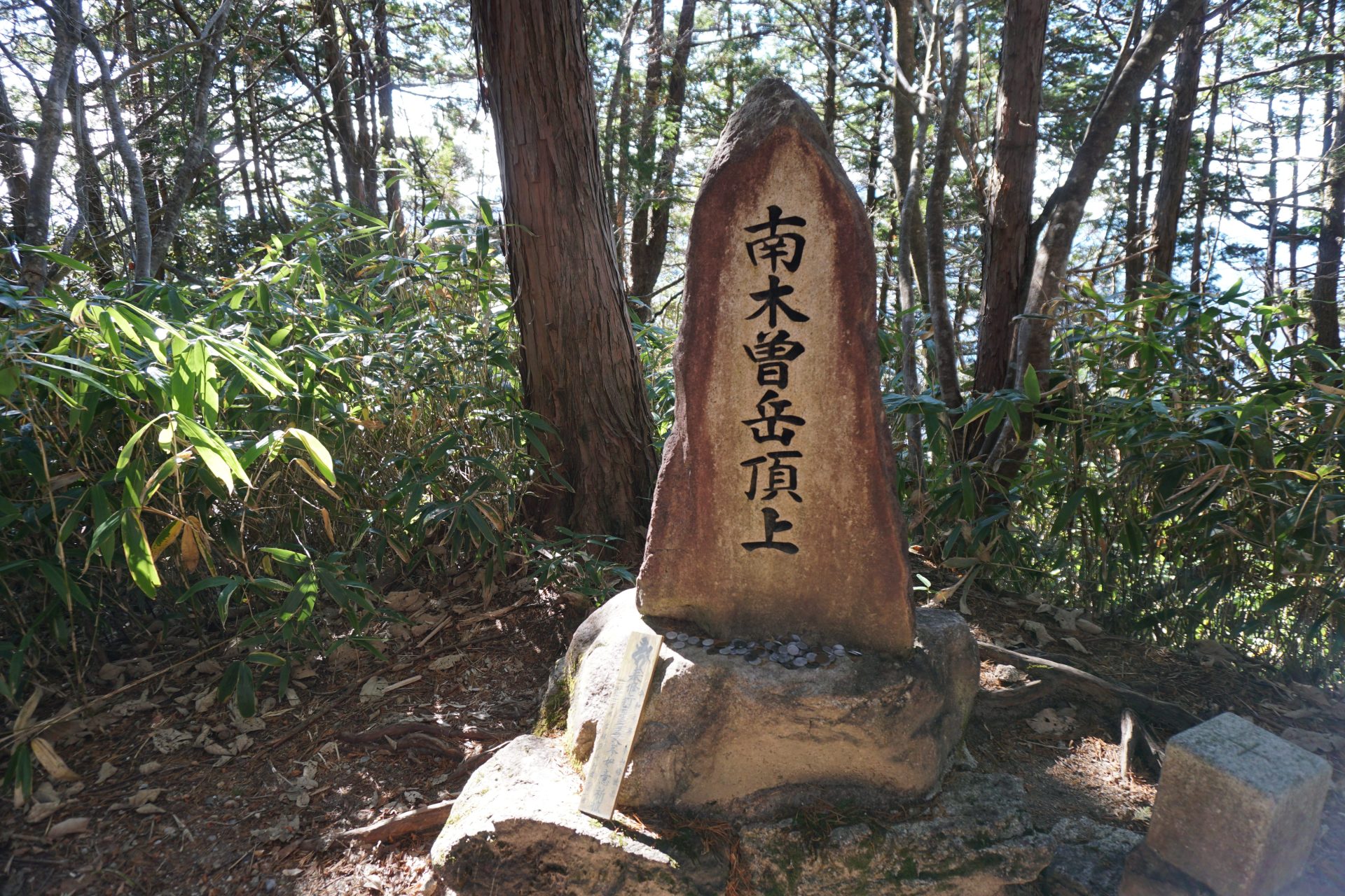
Elevation 1,677m
↓ 20 minutes
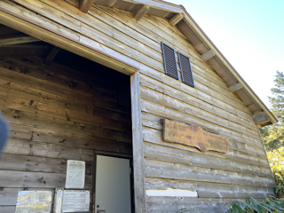
Nagisodake refuge hut/Alps observation deck

Elevation 1,649m
↓ 30 minutes
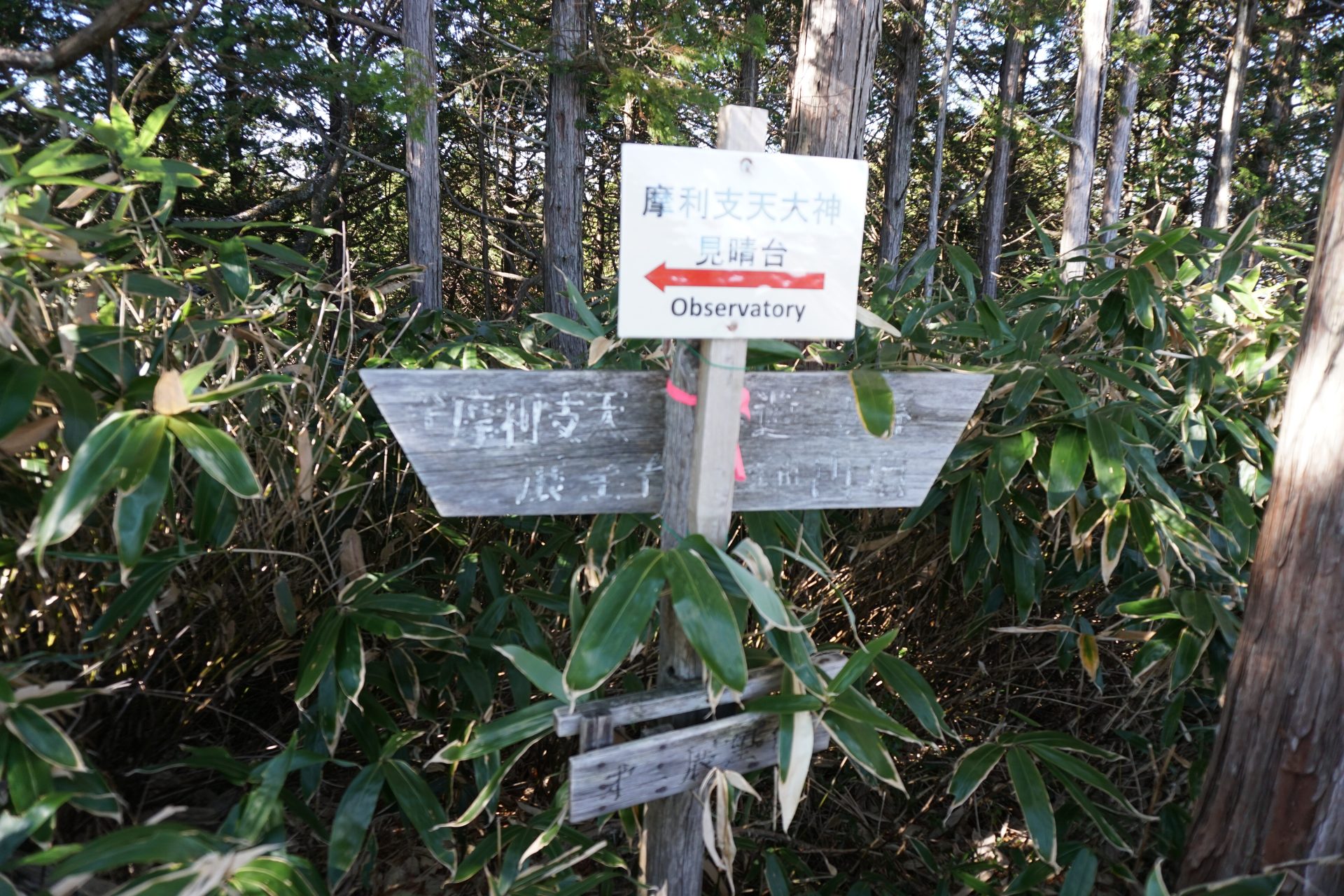
Marishiten

Elevation 1,141m
↓ 45 minutes
Stream collapse
Elevation 797m
↓ 45 minutes
Climbing/descending path branch
Elevation 525m
↓ 35 minutes
Araragi trailhead
Elevation 409m
↓ 1 hour
Ogoshi bus stop


Route Guide
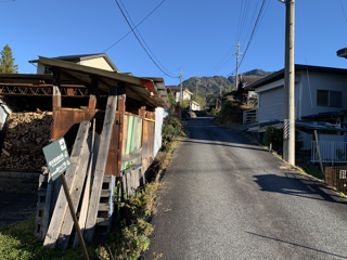
From the Ogoshi bus stop, exit onto the national highway and follow the gentle paved road.
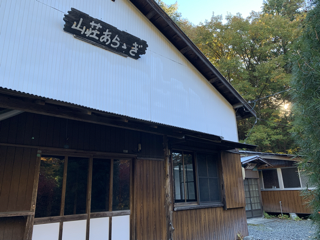
You will see Choenji, a temple with a large hanging bell, on your left. Follow the road in front of the temple towards the mountain. After walking along the forest road for about 50-60 minutes, you will see Araragi campsite on your right. This historic campground is very crowded on weekends, and more and more people are staying in tents even during the cold months. If you continue along the forest road past Araragi mountain villa on your right, you will arrive at the climber's parking lot with a shelter in about 30-40 minutes. Cars can enter this parking lot.
There is also a restroom, but if you have not yet registered your climbing permit, please submit it here, and from here you will begin climbing Mt. Nagiso. After walking through the forest for a while, you will cross a forest road and reach the Araragi trailhead. After walking on the forest road for another 30 minutes, you will come to a fork in the mountain descending path. The route time is 50 minutes, but you may arrive a little earlier. Proceed to the left side of the mountain trail, and after passing the Throat Falls, the steep ascent begins. There are chains, but there are also
wooden ladders so you don't have to worry too much about them. Pass through the Koya pine forest and arrive at the rocky area at the core of Mt. Nagiso climbing. You can also climb up from the climbing area, but there is a detour route using a wooden ladder on the right. There are steep climb up ladders and stairs, but after about 30 minutes you will reach a place where you can see Kabuto Rock and Marishiten. If you go a little further from here, you'll reach the top of the mountain.
The summit is surrounded by forest and you won't be able to see any views, but don't worry. After walking for about 50 meters, you will come upon the first observation deck on the left: the west terrace, and within a further 20 minutes' walk there is a shelter, and above that is a large observation deck that opens to the north and west.
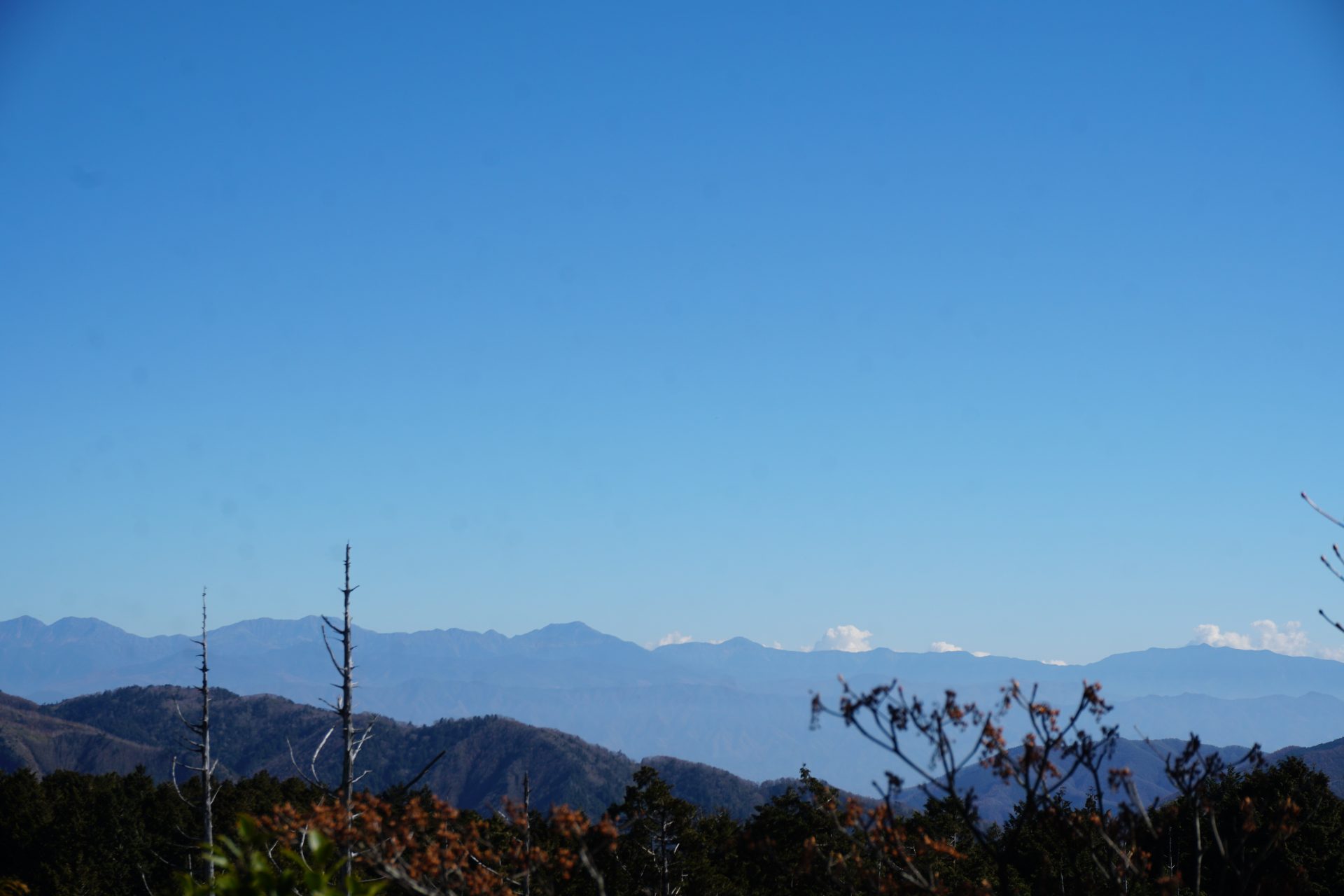
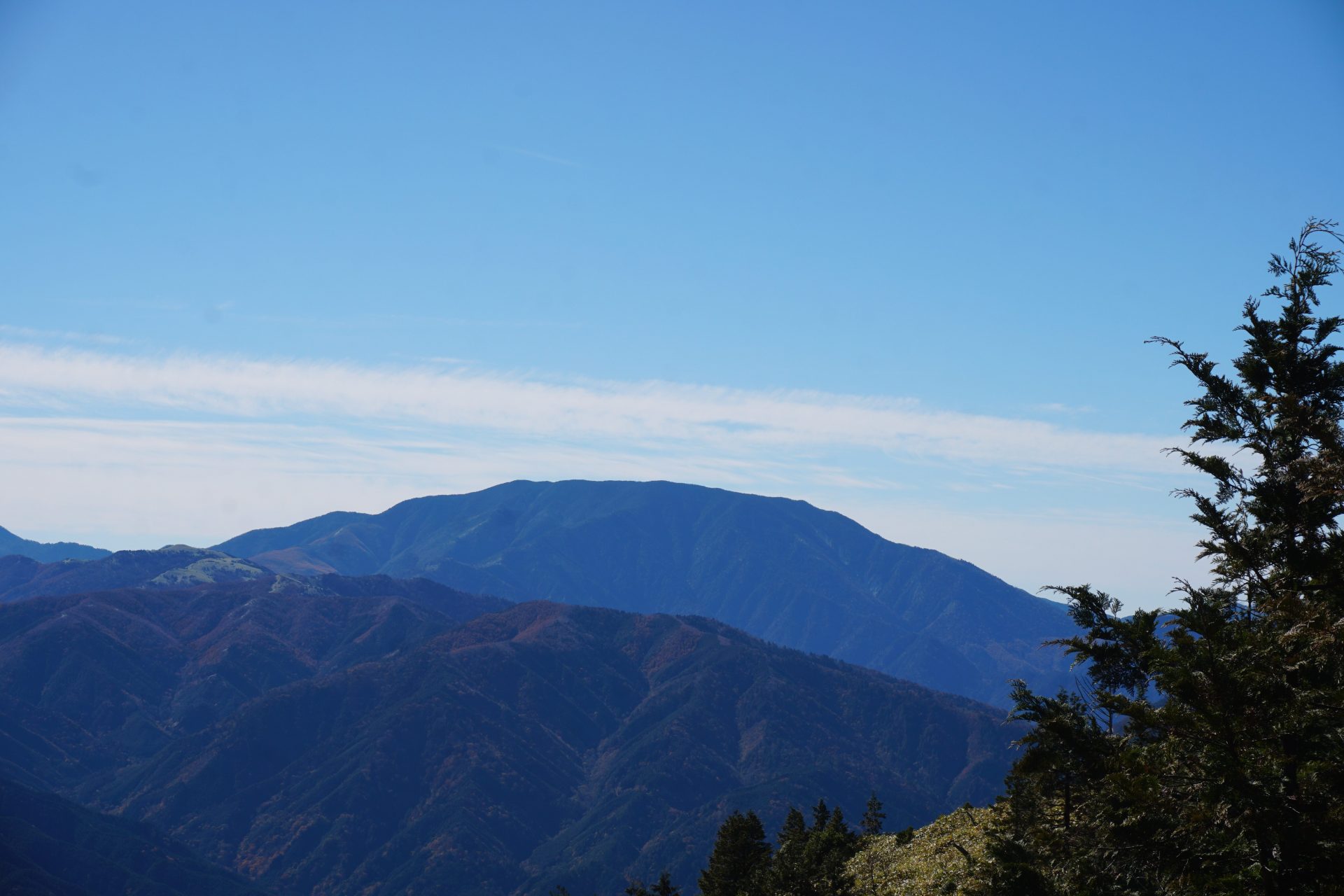
The view from Mt. Ontake is spectacular, but most of all, this is the place where you can see almost all of the Central Alps mountain range, and there is no other place where you can see the Central Alps mountain range in front of your eyes at this close distance. It's easy to see why this mountain is loved.
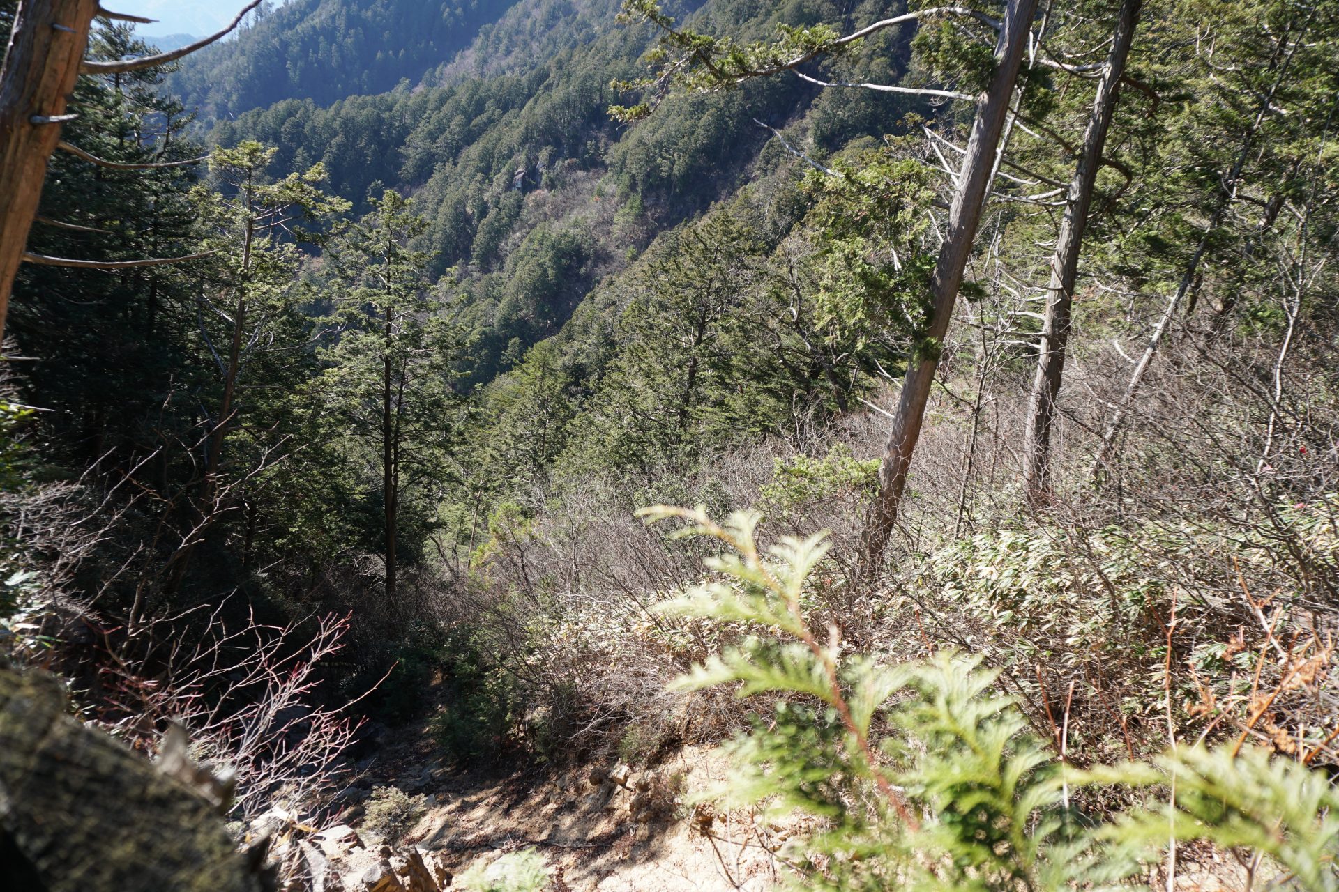
To descend the mountain, proceed clockwise along the one-way trail. In about 20 minutes, you will pass what appears to be the peak on the east side, and soon after that, you will arrive at a large rock observation deck called Marishiten, just off the mountain trail. It is a great place to climb a rock that is as high as an adult man's chest and get a great view of Mt. Ena in front of you and the Southern Alps to the east but you need to be very brave and careful because it is the daunting tip of the rock that can make you lose your footing.
From here it is a steep descent, and about 100 m down there is another similar rock observation platform, but after that it is a steep descent through the forest. As you descend, you will begin to understand why they chose to go clockwise on a one-way street. ``I don't want to use this for climbing!'' The answer (maybe) is a road that descends continuously on a steep slope. The continuous steep descent up to this point is quite a descent route even though the Alps are wide. Although I was tired, I returned to the confluence point after about 1 hour and 30 minutes from Marishiten. From here, follow the same path as the mountain trail to the Araragi trailhead, or go further down from the trailhead and return to the Ogoshi bus stop.