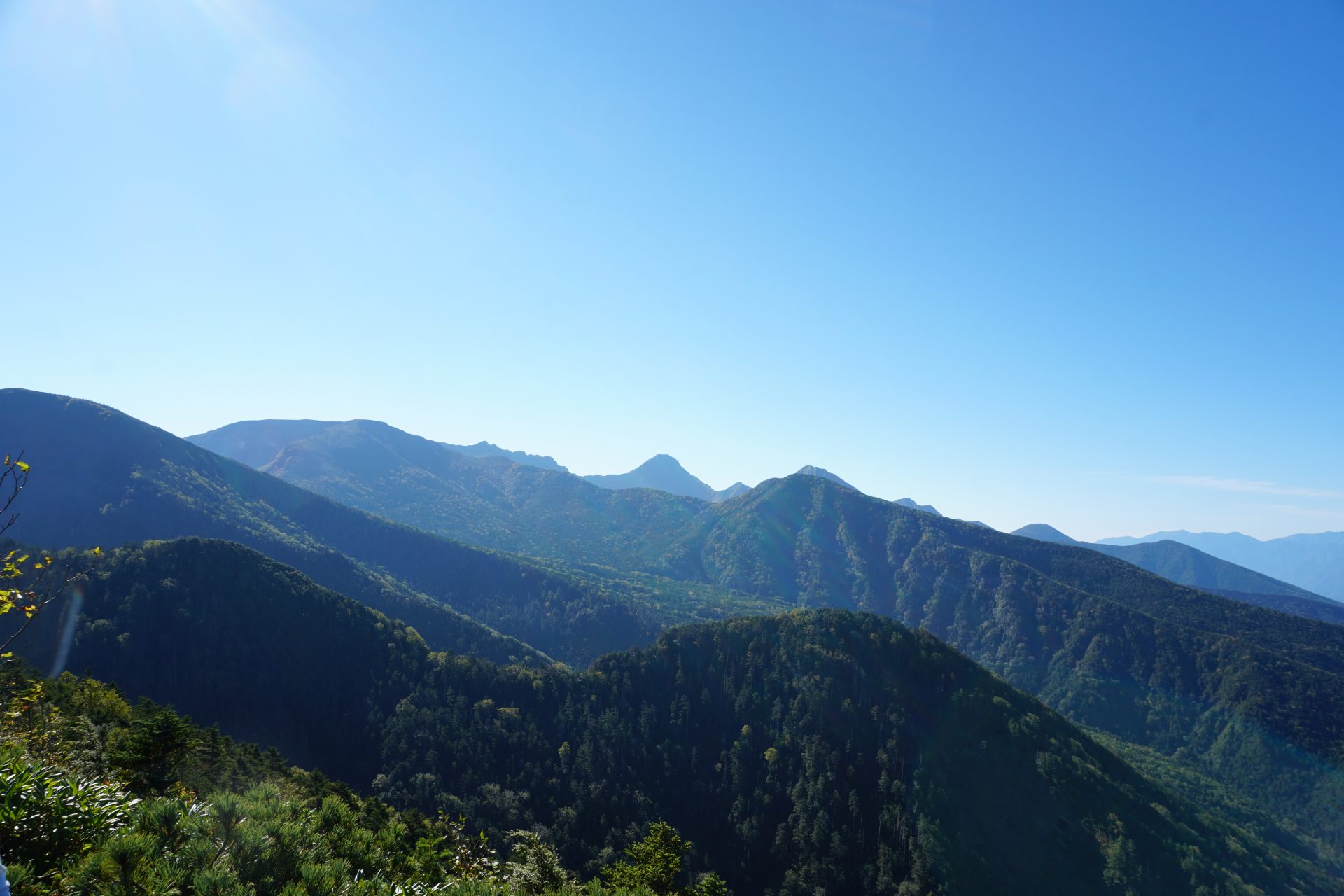
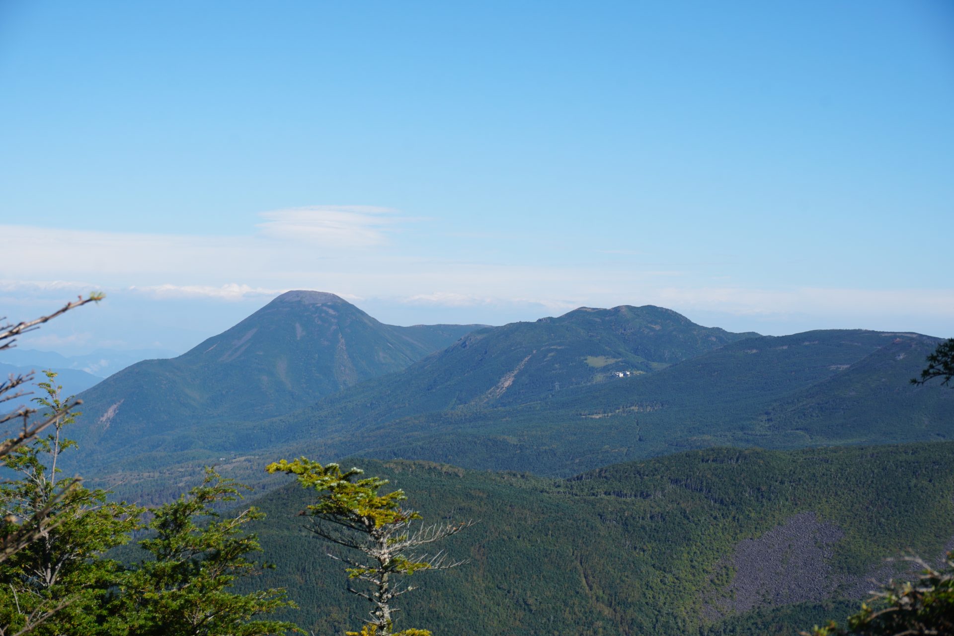
(Photo: View toward Roudake from the summit of Mt. Tengu-dake)
Generally, the northern part from Natsusawa Pass is Kitayatsugadake and the southern part is Minamiyatsugadake.
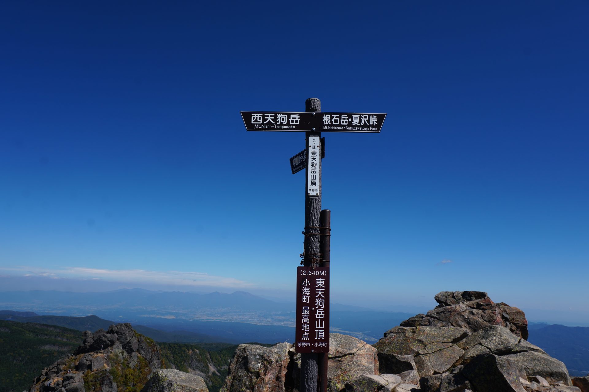
Mt. Tengu-dake is the highest peak of Kita-Yatsugatake, higher than Tateshinayama. Mt. Tengu-dake is the highest peak of Kita-Yatsugatake, which is higher than Mount Tateshina. As a relatively easy mountain to approach in both summer and winter, it is popular as an introduction to serious mountaineering. Nishitengu is slightly higher than Tateshinayama at 2,646 meters.
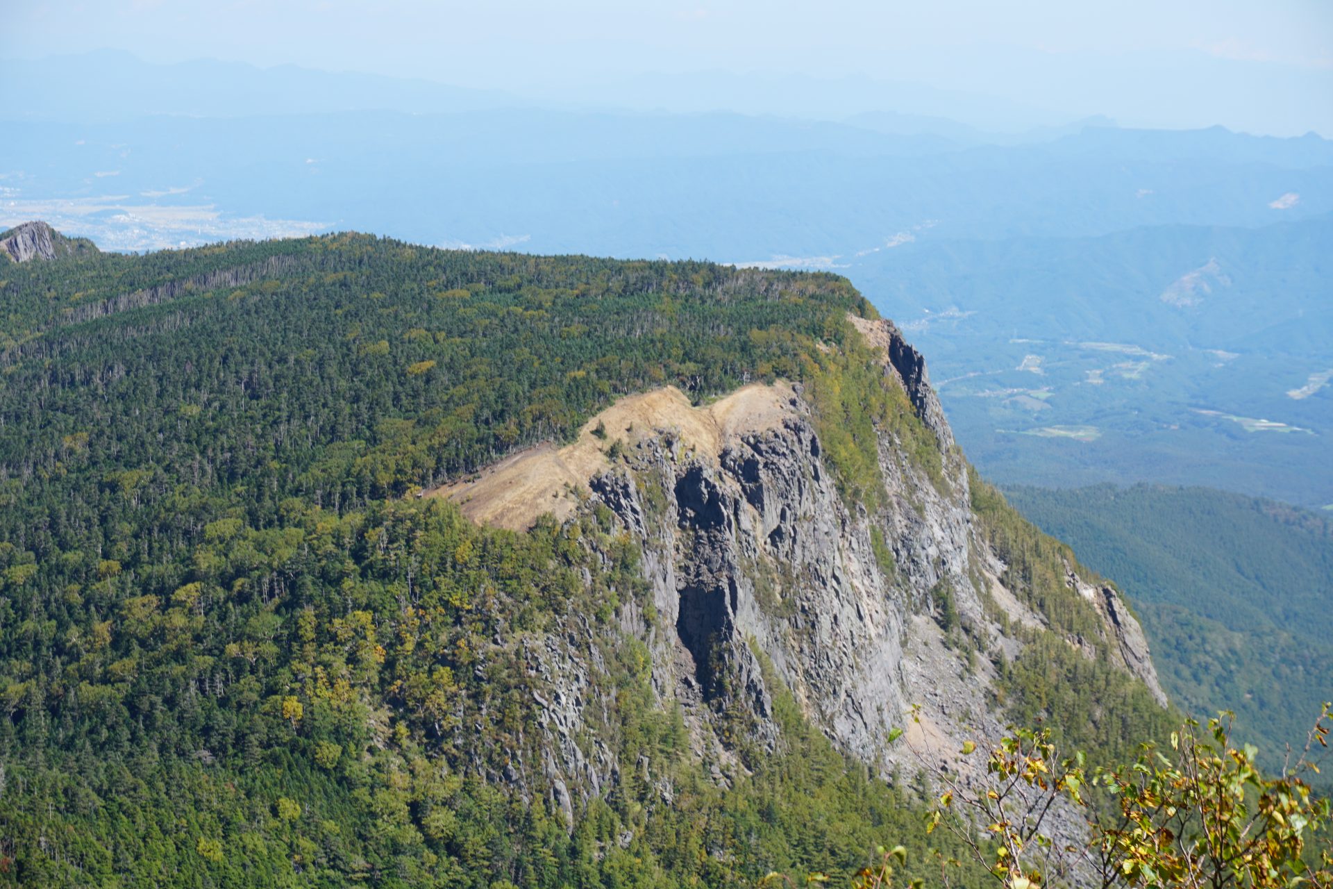
The difference in appearance between the east and west peaks is not due to a volcanic eruption unique to Yatsugatake, but to a large-scale collapse of the mountain that occurred during the Heian period (794-1192). (It is said that the collapse of the mountain body on the east side of the Yatsugatake mountain range caused the rivers in the area to be blocked, creating a huge lake, which subsequently led to massive flooding.) Compared to the mountains seen from the Chino City side in the west, Mt. Tengu seen from the Shirabiso Hut in the east is a severe and steep mountain, with the peak of Tengu Nose and other mountains standing like a wall. It is hard to imagine that a mountain body collapsing to form a large lake occurred just over a thousand years ago, but the ability to catch a glimpse of such traces in this area is perhaps the best part of mountain climbing.
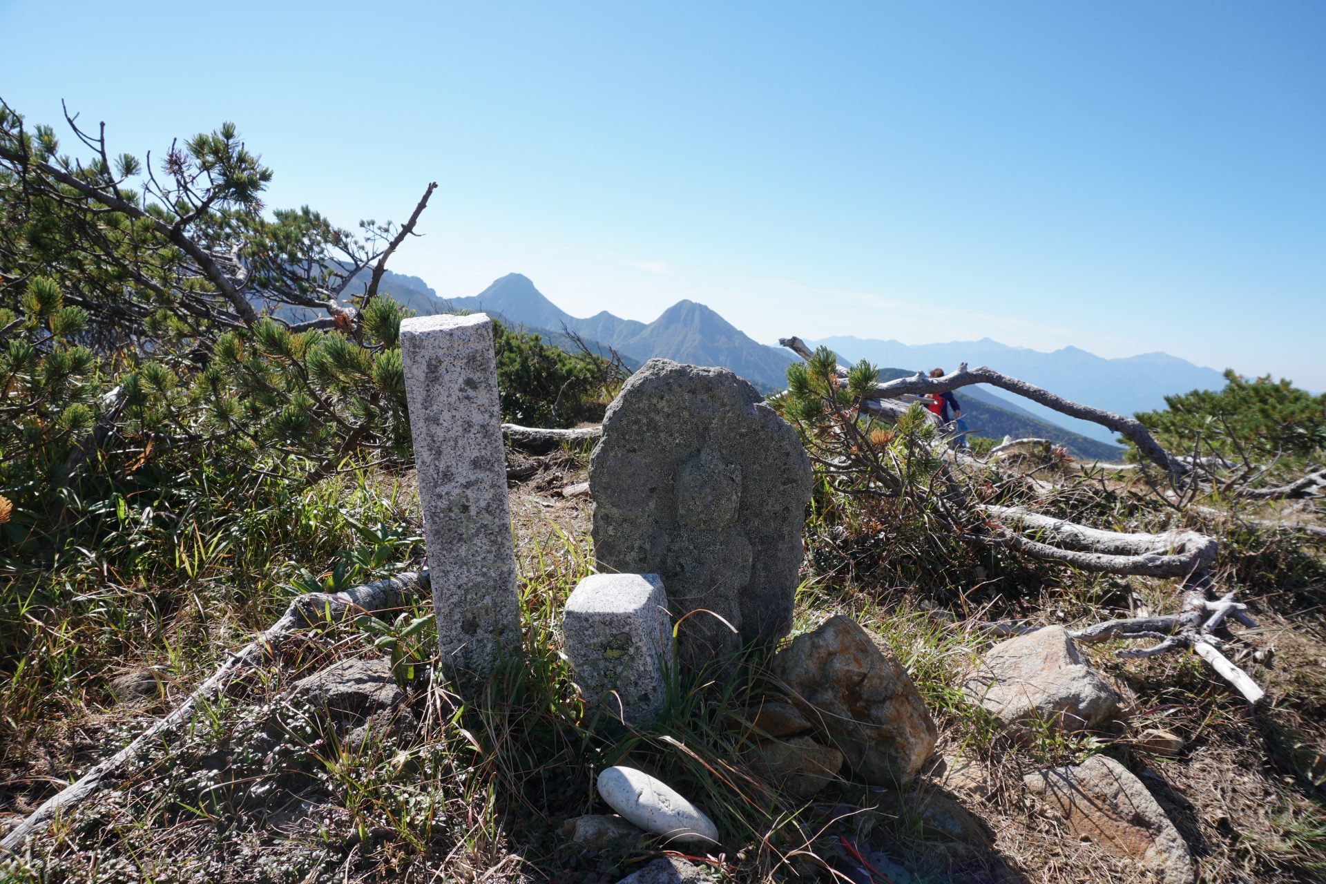
It is the only single peak in the Yatsugatake mountain range with 200 peaks, but it is a famous peak that can be enjoyed in a variety of ways.
Mt. Tengu-dake: Elevation 2,646 m (one of the top 200 mountains in Japan)
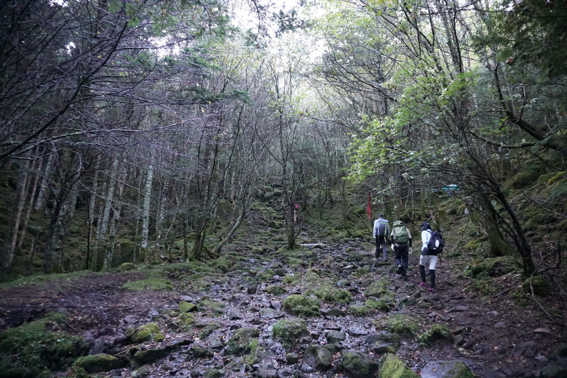
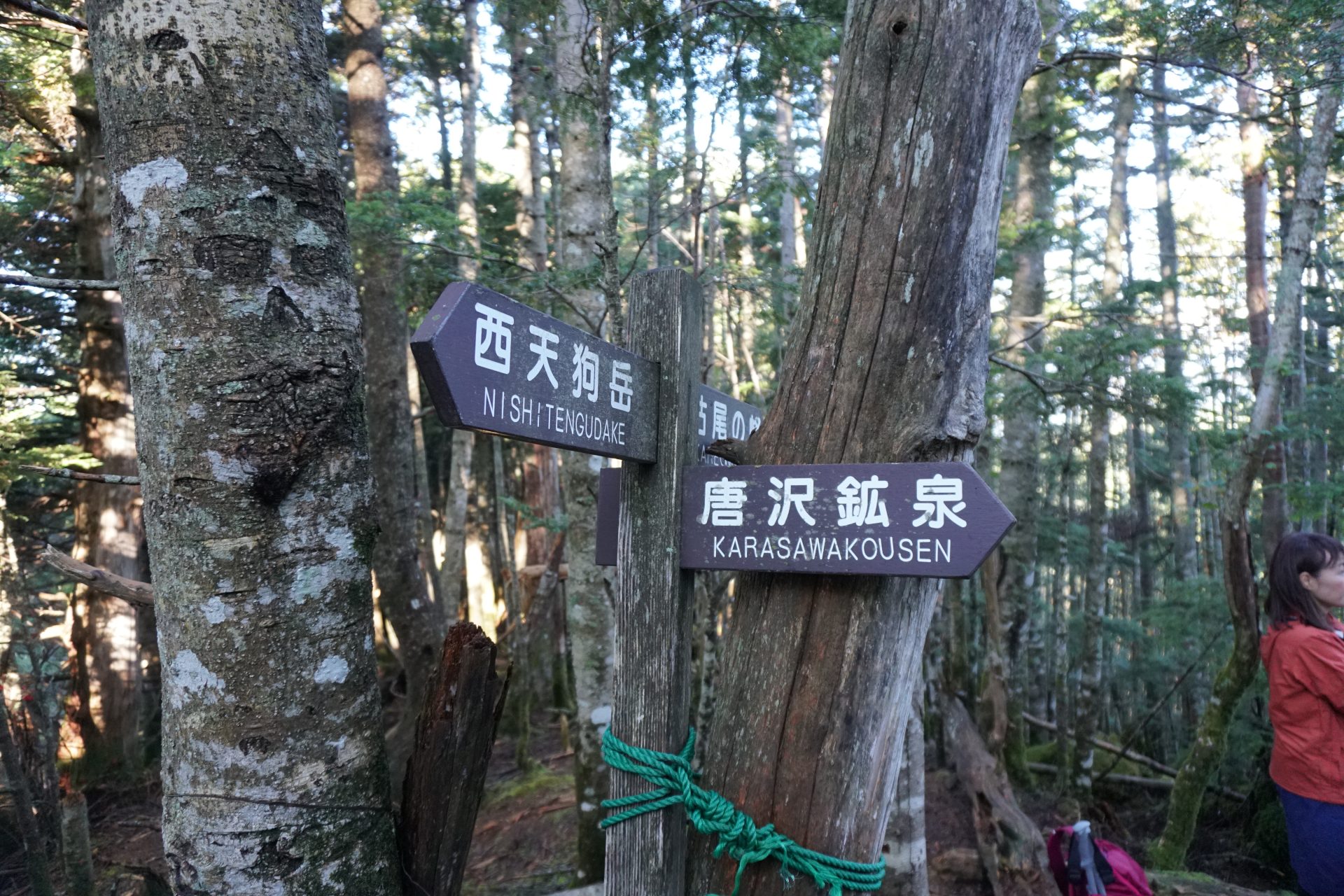
Mt. Tengu-dake has become a popular mountain as it is easy to approach and climb from both the east and the west. From the west, the most popular route is the one starting from Shibugotenyu, where a bus service operates during the summer. If you approach by car, we recommend that you take the road to Karasawa Kosen and climb along the ridge with a good view.
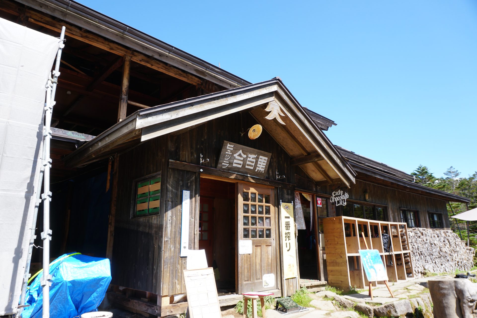
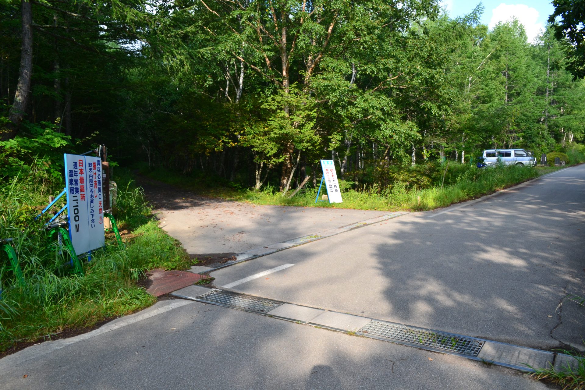
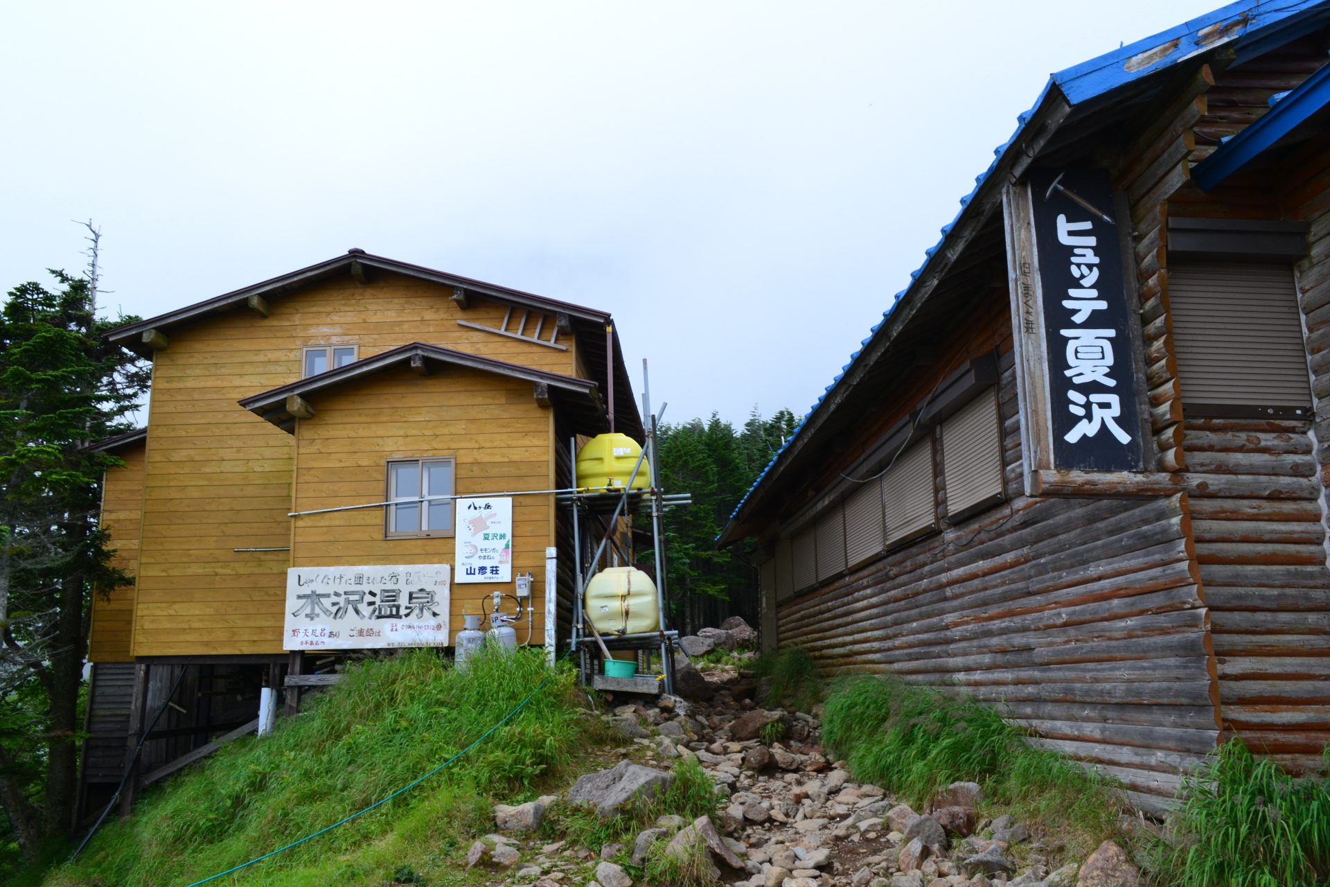
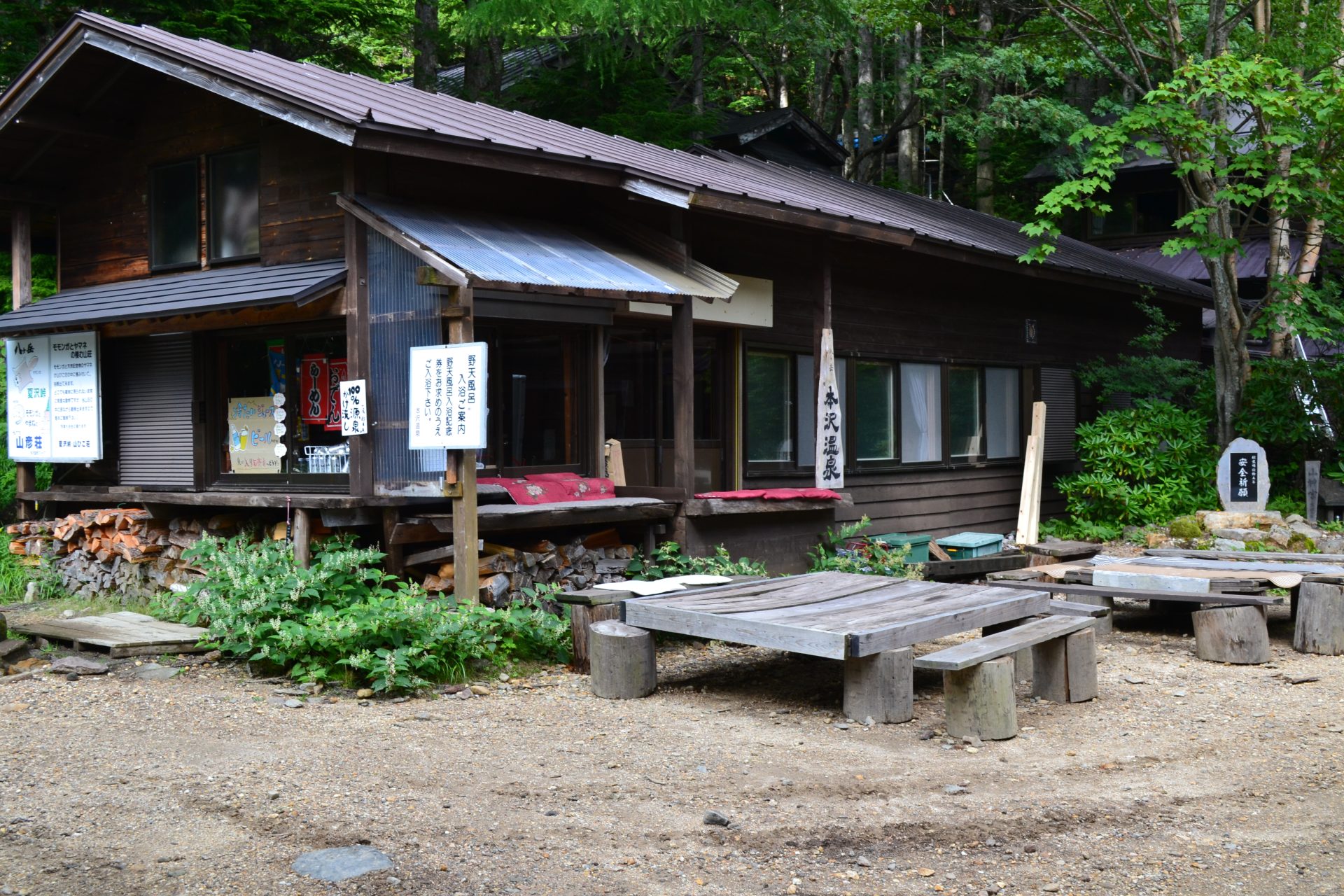
On the other hand, from the east side, the route that starts from the top of Inakoyu, which can also be reached by bus service, and goes up to Honzawa Onsen via Shirabiso Hut, a popular mountain hut that remains open during winter, and from there to Natsuzawa Pass and the route that parks a car at Honzawa entrance and goes directly to Honzawa Onsen, although these can only be reached by car. It can be said that the route to go up the mountain, etc. are popular routes.
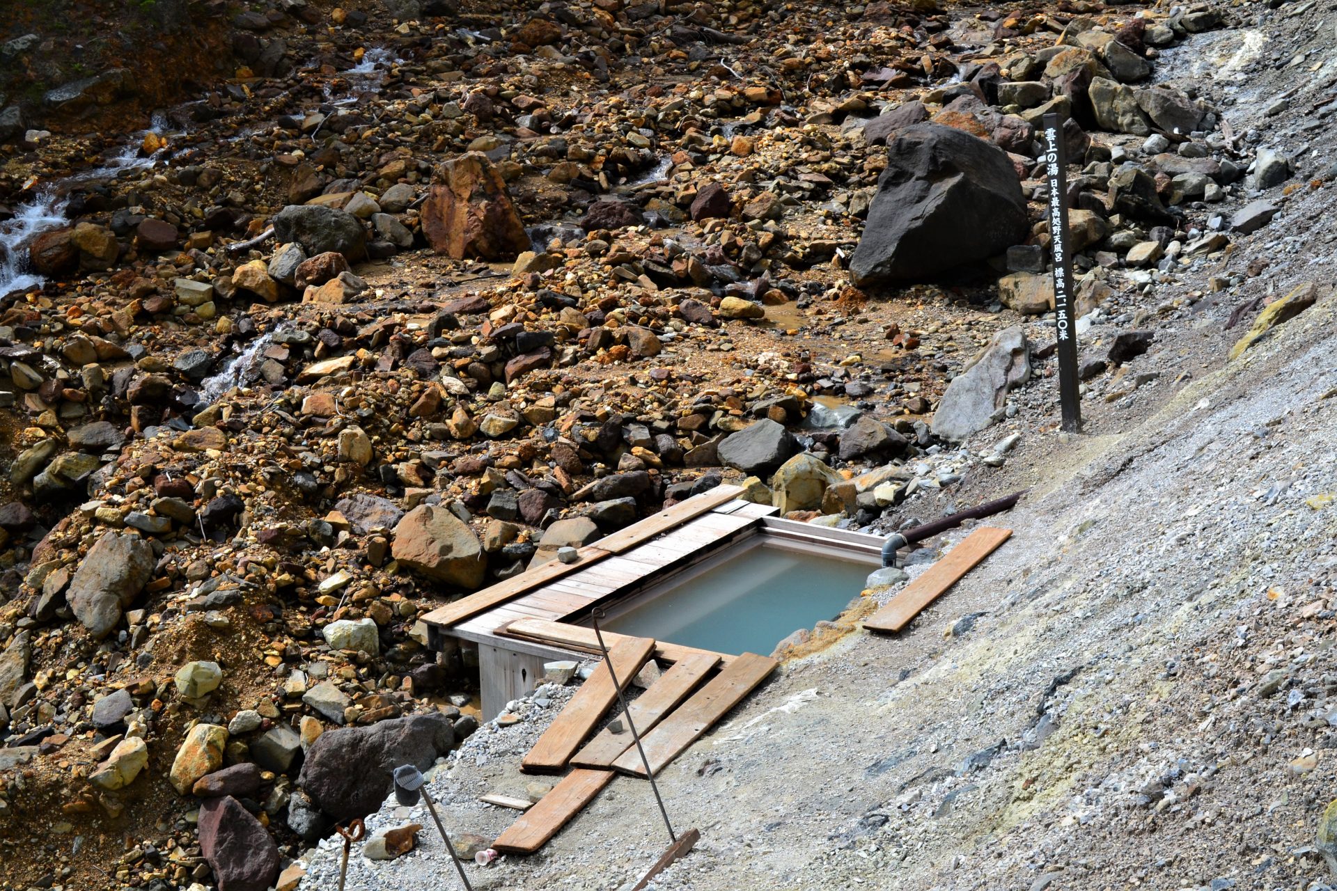
All of these routes can be taken as day trips if taken early in the morning, but each has good huts and hot springs, so we recommend that you stay overnight in the mountains if you have the chance.
Trailhead vicinity weather
Weekly weather forecast zone:Chubu Region, Shizuoka Prefecture
| DAY | WEATHER | LOWEST | HIGHEST |
|---|---|---|---|
| 7/20 | 24℃ | 31℃ | |
| 7/21 | 26℃ | 33℃ | |
| 7/22 | 26℃ | 33℃ | |
| 7/23 | 26℃ | 33℃ | |
| 7/24 | 25℃ | 33℃ | |
| 7/25 | 25℃ | 32℃ |
This is a publication of the calculated figures for weather predictions and is not the weather forecast. There are instances where there will be big differences in the values stated for the mountains, in accord with the topography as well as sunlight, etc. so please take care.
72 hours weather information:Kitayama Tateshina North Yatsugatake Ropeway, Chino-shi, Nagano
| Date and time |
7/19 9:00 |
7/19 10:00 |
7/19 11:00 |
7/19 12:00 |
7/19 13:00 |
7/19 14:00 |
7/19 15:00 |
7/19 16:00 |
7/19 17:00 |
7/19 18:00 |
7/19 19:00 |
7/19 20:00 |
7/19 21:00 |
7/19 22:00 |
7/19 23:00 |
7/20 0:00 |
7/20 1:00 |
7/20 2:00 |
7/20 3:00 |
7/20 4:00 |
7/20 5:00 |
7/20 6:00 |
7/20 7:00 |
7/20 8:00 |
7/20 9:00 |
7/20 10:00 |
7/20 11:00 |
7/20 12:00 |
7/20 13:00 |
7/20 14:00 |
7/20 15:00 |
7/20 16:00 |
7/20 17:00 |
7/20 18:00 |
7/20 19:00 |
7/20 20:00 |
7/20 21:00 |
7/20 22:00 |
7/20 23:00 |
7/21 0:00 |
7/21 1:00 |
7/21 2:00 |
7/21 3:00 |
7/21 4:00 |
7/21 5:00 |
7/21 6:00 |
7/21 7:00 |
7/21 8:00 |
7/21 9:00 |
7/21 10:00 |
7/21 11:00 |
7/21 12:00 |
7/21 13:00 |
7/21 14:00 |
7/21 15:00 |
7/21 16:00 |
7/21 17:00 |
7/21 18:00 |
7/21 19:00 |
7/21 20:00 |
7/21 21:00 |
7/21 22:00 |
7/21 23:00 |
7/22 0:00 |
|---|---|---|---|---|---|---|---|---|---|---|---|---|---|---|---|---|---|---|---|---|---|---|---|---|---|---|---|---|---|---|---|---|---|---|---|---|---|---|---|---|---|---|---|---|---|---|---|---|---|---|---|---|---|---|---|---|---|---|---|---|---|---|---|---|
| Weather | ||||||||||||||||||||||||||||||||||||||||||||||||||||||||||||||||
| Temperature | 17℃ | 18℃ | 19℃ | 20℃ | 21℃ | 21℃ | 21℃ | 21℃ | 21℃ | 20℃ | 19℃ | 18℃ | 17℃ | 17℃ | 16℃ | 16℃ | 16℃ | 15℃ | 15℃ | 15℃ | 15℃ | 14℃ | 16℃ | 17℃ | 18℃ | 19℃ | 20℃ | 21℃ | 22℃ | 23℃ | 23℃ | 22℃ | 22℃ | 21℃ | 20℃ | 18℃ | 18℃ | 18℃ | 17℃ | 17℃ | 17℃ | 16℃ | 16℃ | 16℃ | 16℃ | 16℃ | 17℃ | 18℃ | 20℃ | 20℃ | 21℃ | 21℃ | 21℃ | 21℃ | 21℃ | 21℃ | 21℃ | 20℃ | 19℃ | 19℃ | 18℃ | 17℃ | 17℃ | 17℃ |
| Precipitation | 0mm/h | 0mm/h | 0mm/h | 0mm/h | 0mm/h | 0mm/h | 0mm/h | 0mm/h | 0mm/h | 0mm/h | 0mm/h | 0mm/h | 0mm/h | 0mm/h | 0mm/h | ※ 16時間以降は表示されません | ||||||||||||||||||||||||||||||||||||||||||||||||
| Wind direction |
east 2m/s |
east 2m/s |
east 2m/s |
east 2m/s |
east 2m/s |
east 2m/s |
east 2m/s |
east 2m/s |
east 2m/s |
east 2m/s |
east 1m/s |
east 1m/s |
east 1m/s |
east 1m/s |
east 1m/s |
east 1m/s |
east 1m/s |
east 1m/s |
east 1m/s |
east 1m/s |
east 1m/s |
east 1m/s |
east 1m/s |
0m/s |
east 1m/s |
east 1m/s |
east 1m/s |
east 2m/s |
east 2m/s |
east 2m/s |
east 1m/s |
east 1m/s |
east 1m/s |
east 1m/s |
east 1m/s |
east 1m/s |
east 1m/s |
east 1m/s |
east 1m/s |
east 1m/s |
east 1m/s |
east 1m/s |
east 1m/s |
east 1m/s |
east 1m/s |
east 1m/s |
east 1m/s |
0m/s |
0m/s |
0m/s |
0m/s |
east 1m/s |
0m/s |
0m/s |
0m/s |
0m/s |
east 1m/s |
0m/s |
east 1m/s |
0m/s |
east 1m/s |
east 1m/s |
east 1m/s |
east 1m/s |
※The weather information will be information on 5km square including the relevant point.
※天気予報マークは一次細分区域から表示しています
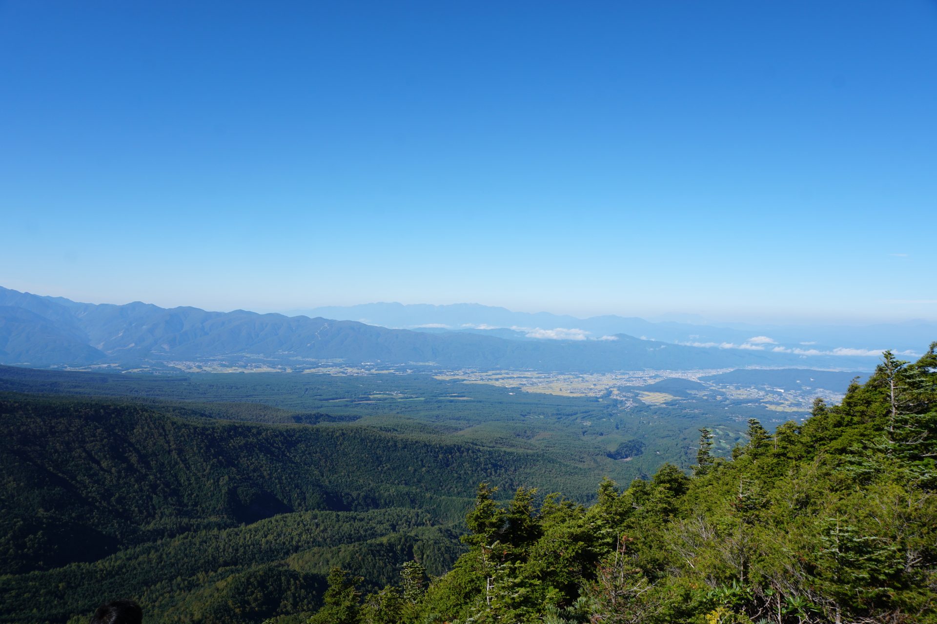
View of Mt. Tengu-dake