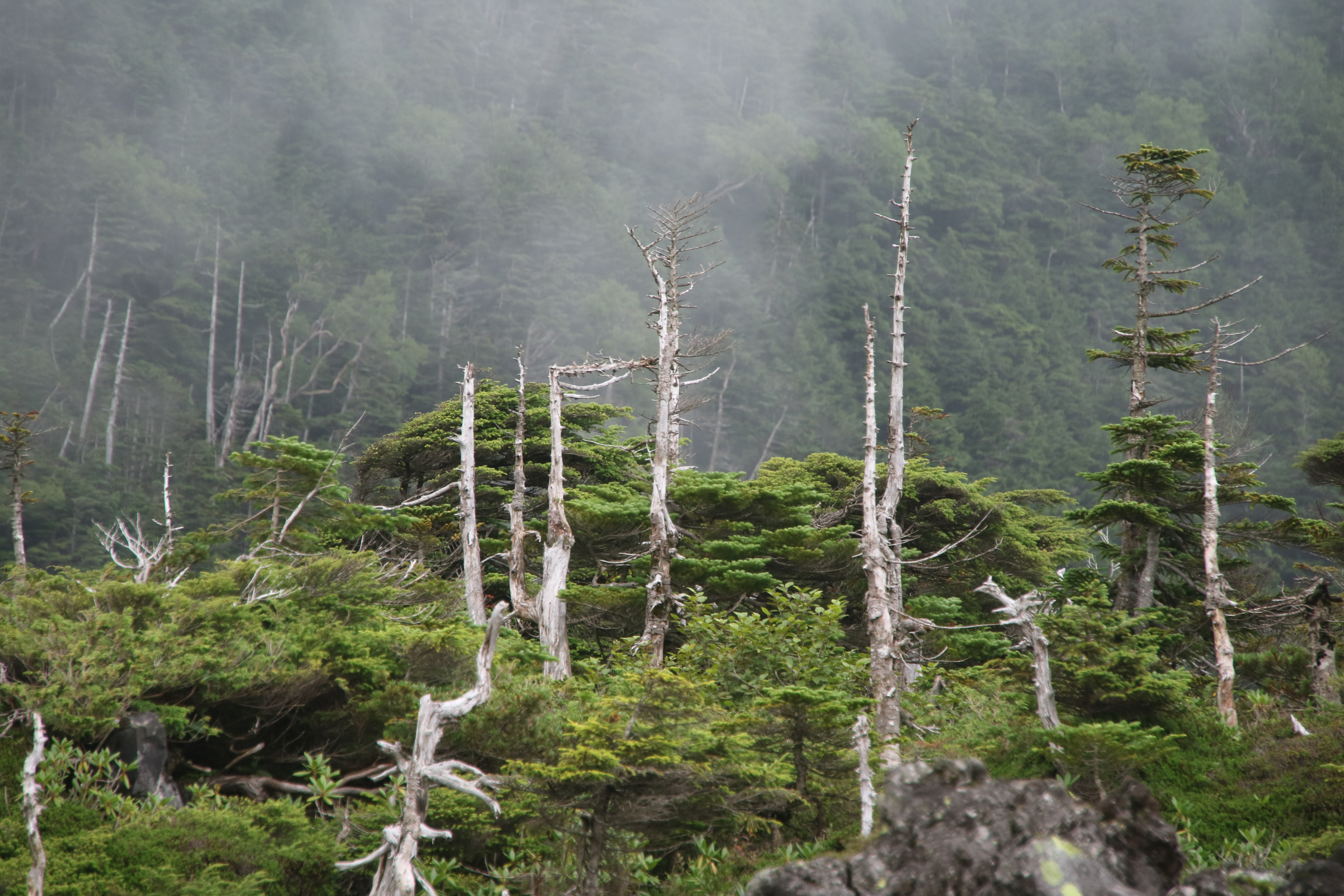
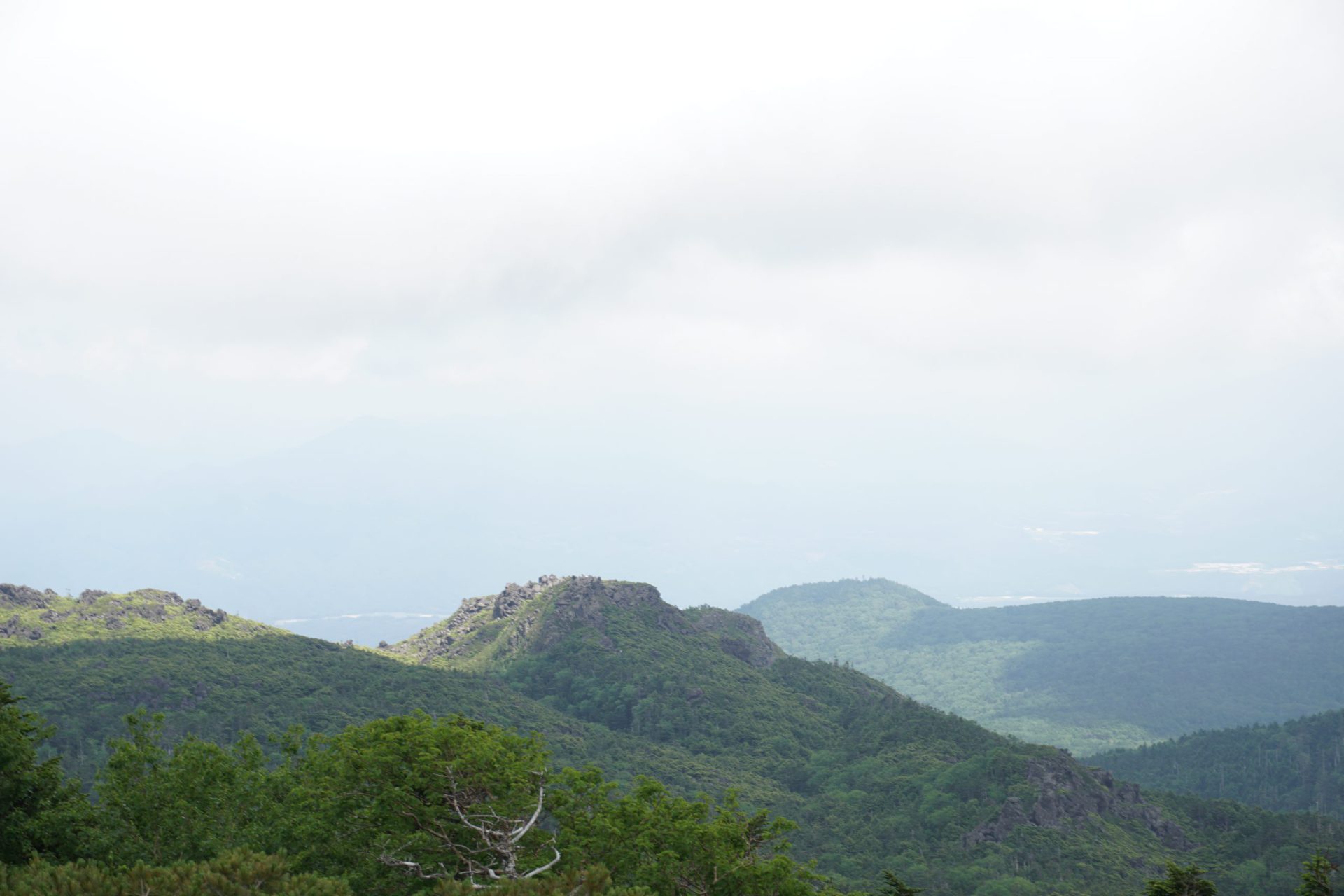
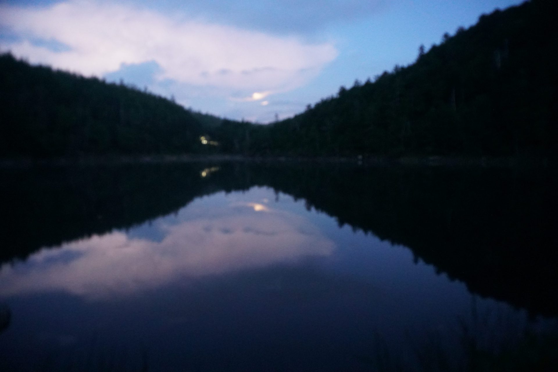
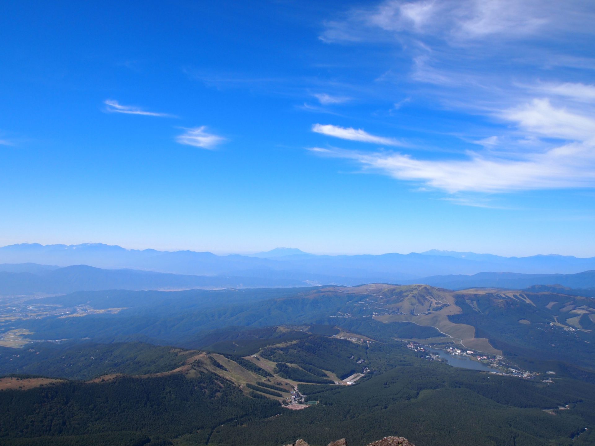
“North Yatsu-gatake is a highland forest. …This shadowy mountain range, that could also be called the back of Yatsu-gatake, lacks the excited ferocity and sharpness of Southern Yatsu-gatake, the main Yatsu-gatake peak, but instead, it has a deep serenity and peace that lingers in one’s heart forever.” [From the book “Kita Yatsu Hoko” (meaning “North Yatsugatake Ramble”) by Akihisa Yamaguchi]
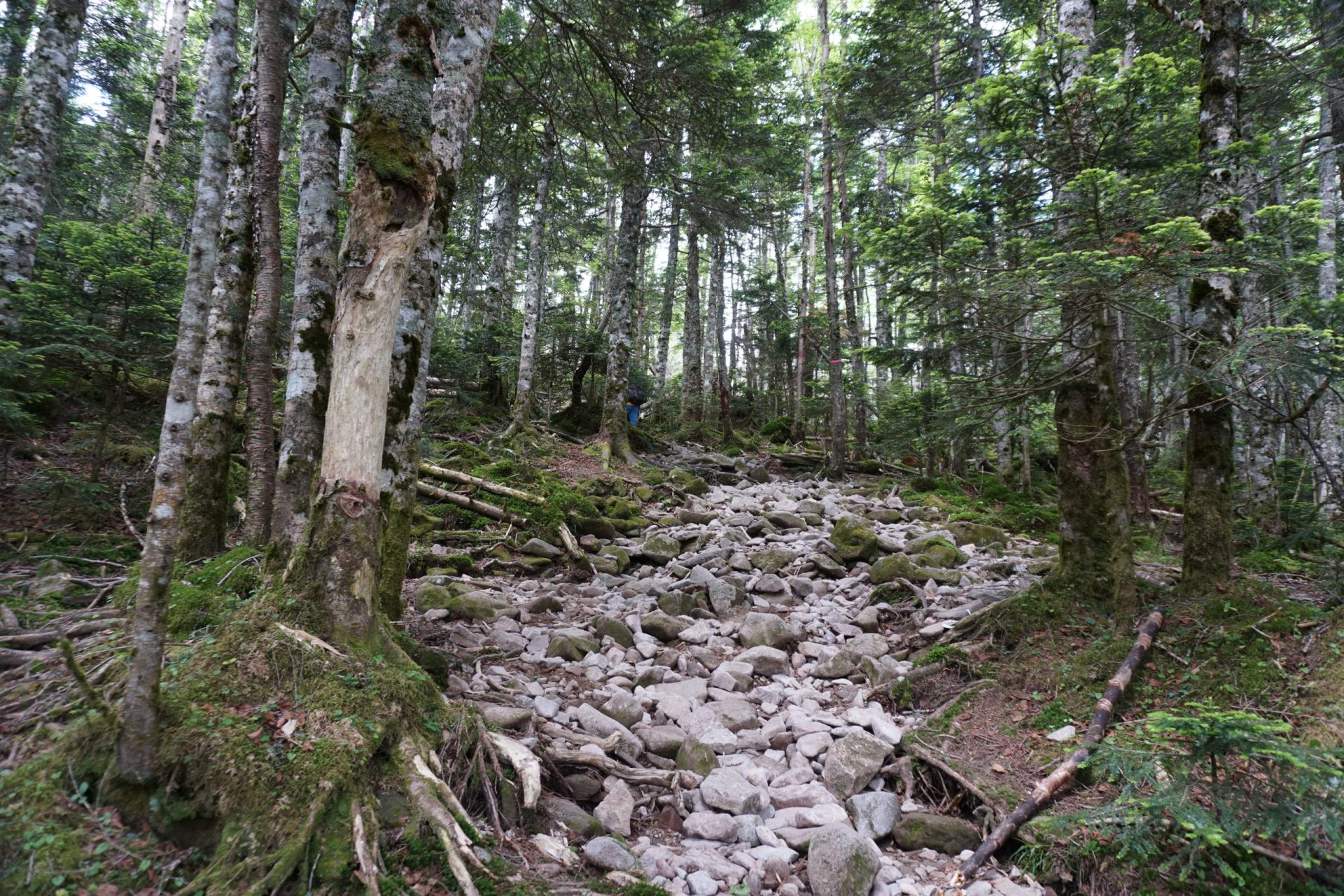
Though its mountains are close in proximity to the Japan Alps, the Yatsu-gatake mountains create their own impressive presence. In particular, the Northern Yatsu-gatake peaks from Natsusawa Pass north to Mt. Tengu-dake and further to Mt. Tateshina-yama, have been called “Kita Yatsu” or the “Northern Yatsu” since ancient times, and are a beloved range to many mountaineers. Walking through the quiet forests and over moss-covered trails will allow you to experience first-hand a different appealing aspect of mountain hiking.
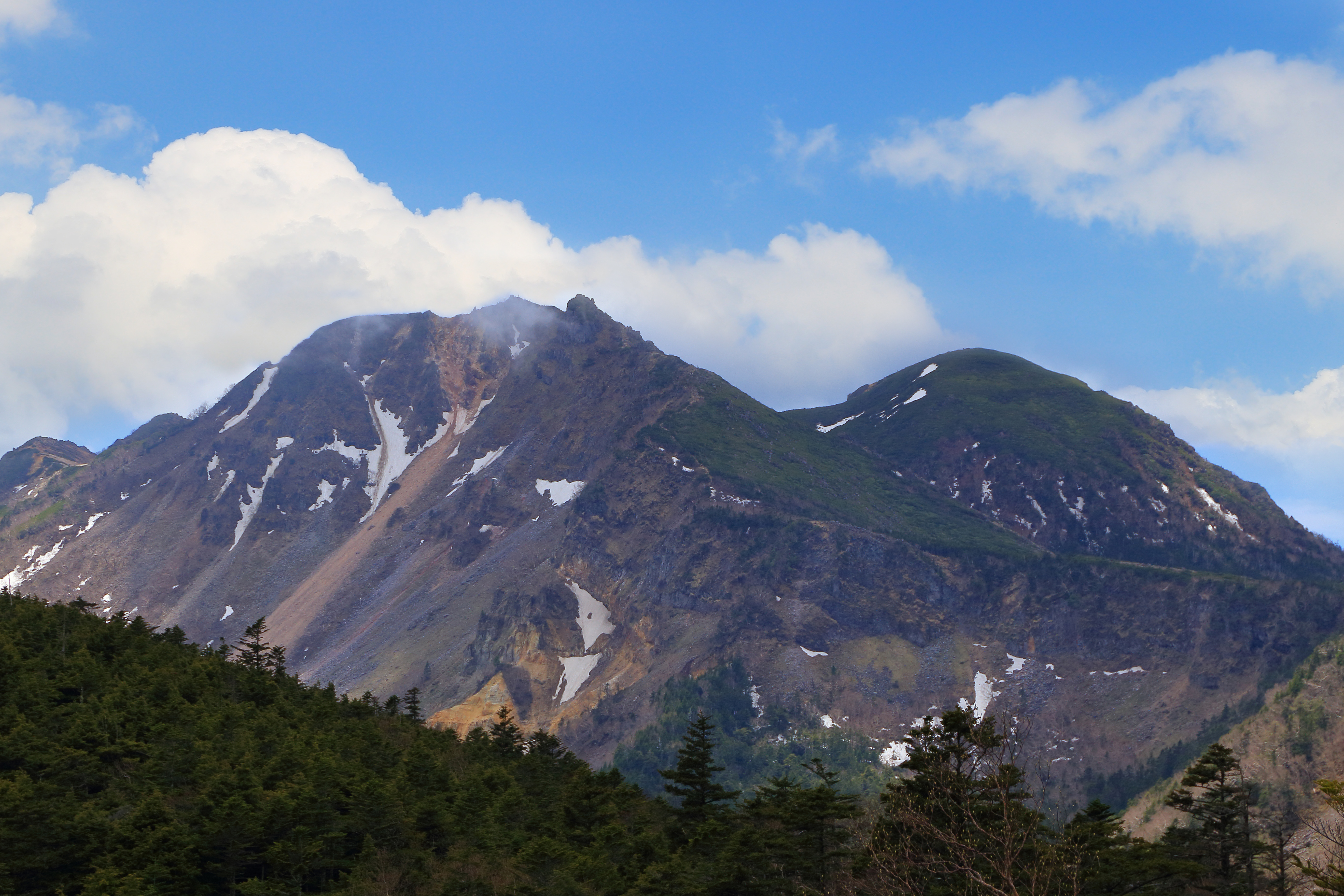
Kita-Yatsu-gatake:Elevation 2,646m(North Yatsu-gatake is a highland forest:Mt. Tengu-dake)
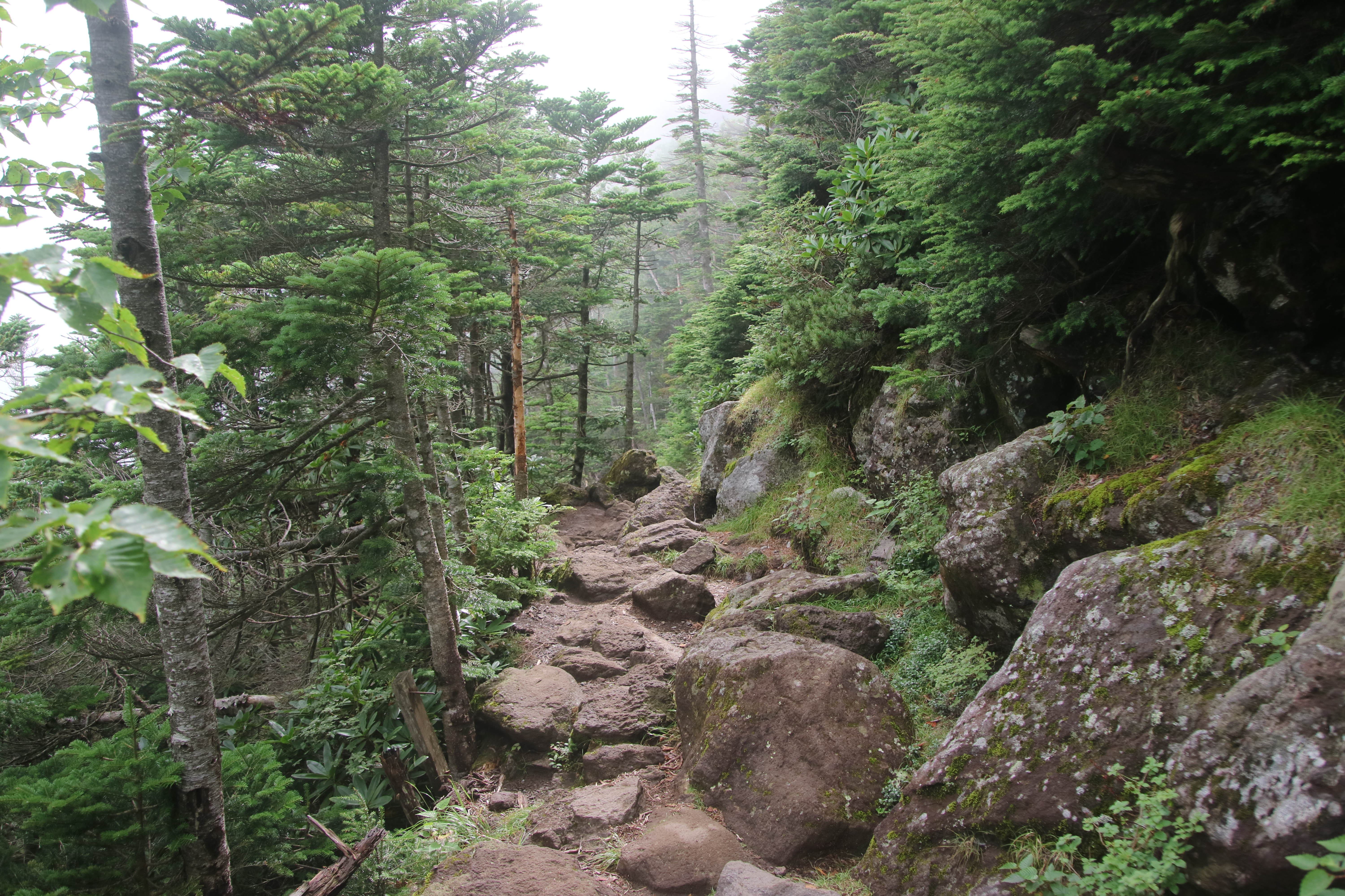
The Kita Yatsu routes are varied.
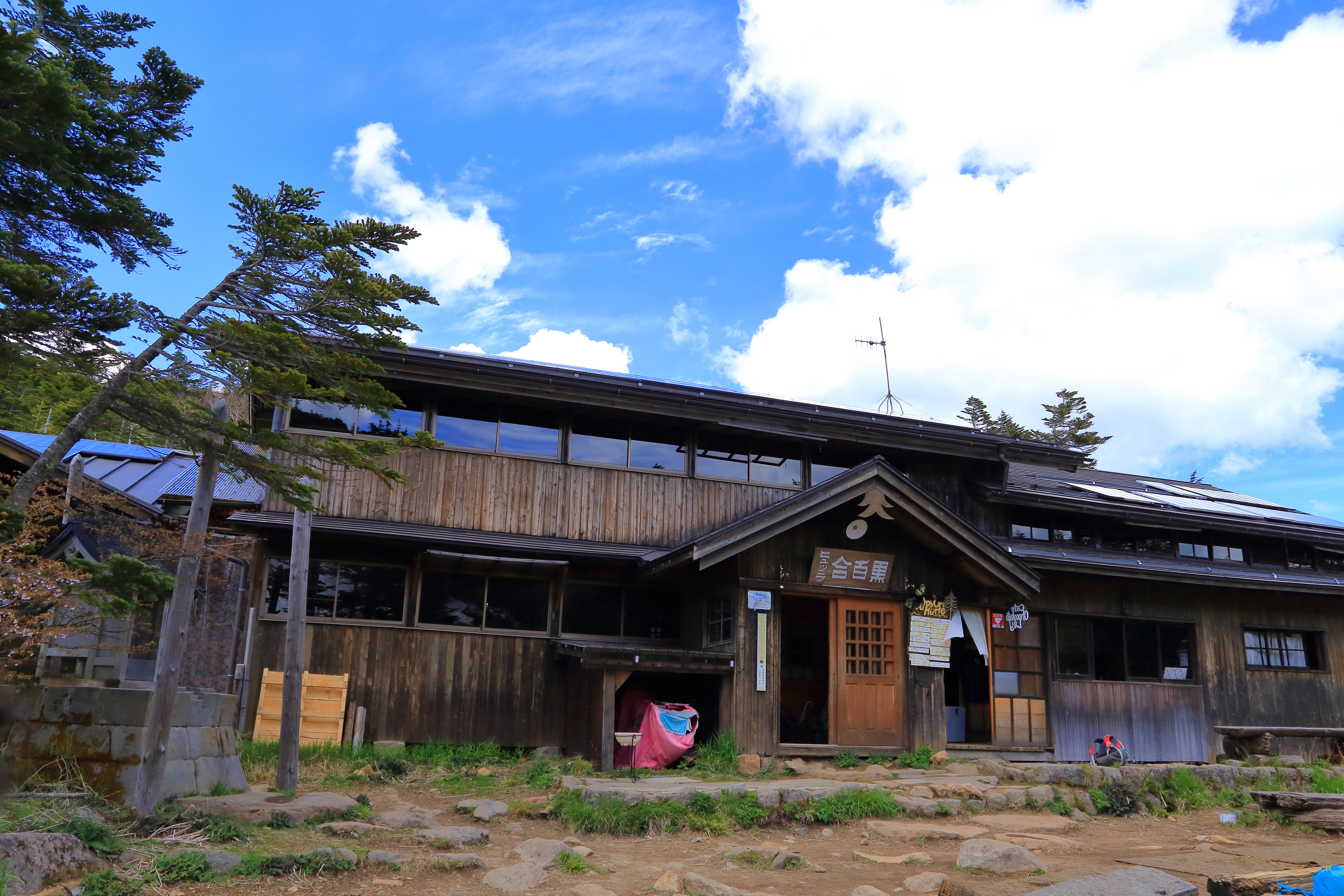
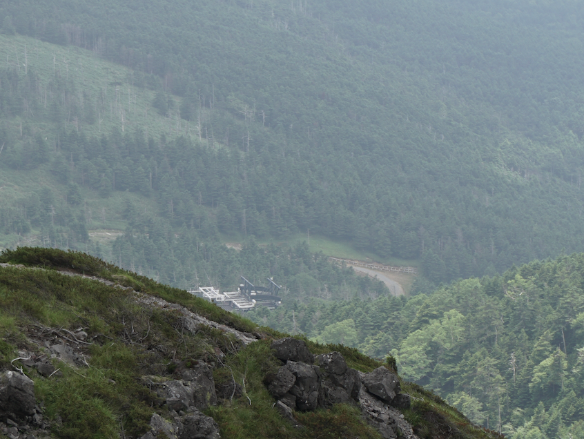
The main hiking routes stretch from east to west focusing on the highest peak in the area, Mt. Tengu-dake, which is also one of Japan’s famous 200 mountains. Hot spring resorts serve as starting points or waypoints. From the east, Inagoyu and Japan’s highest hot spring, Honsawa Onsen, and from the west, Shibu-no-yu and Karasawa-kousen.
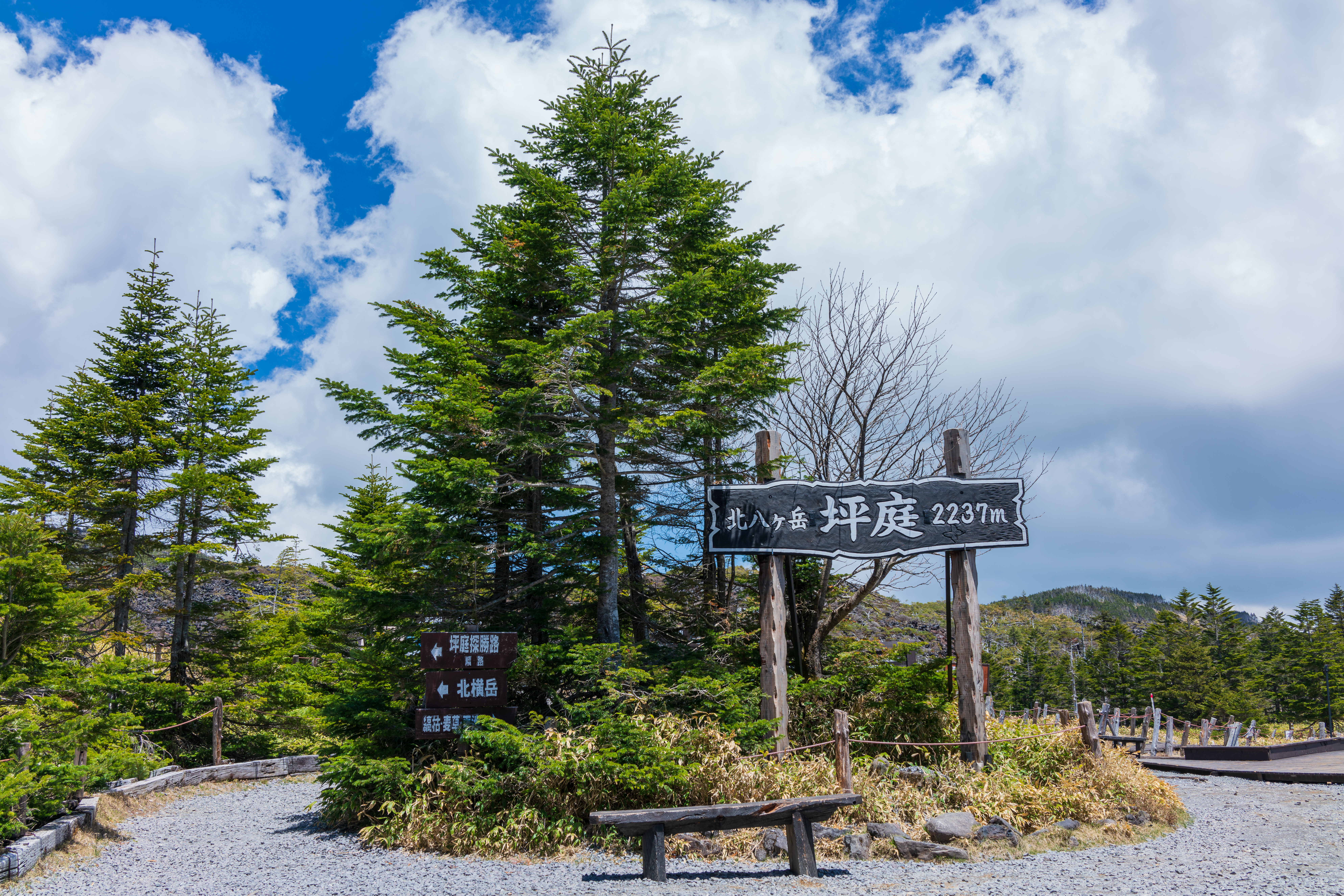
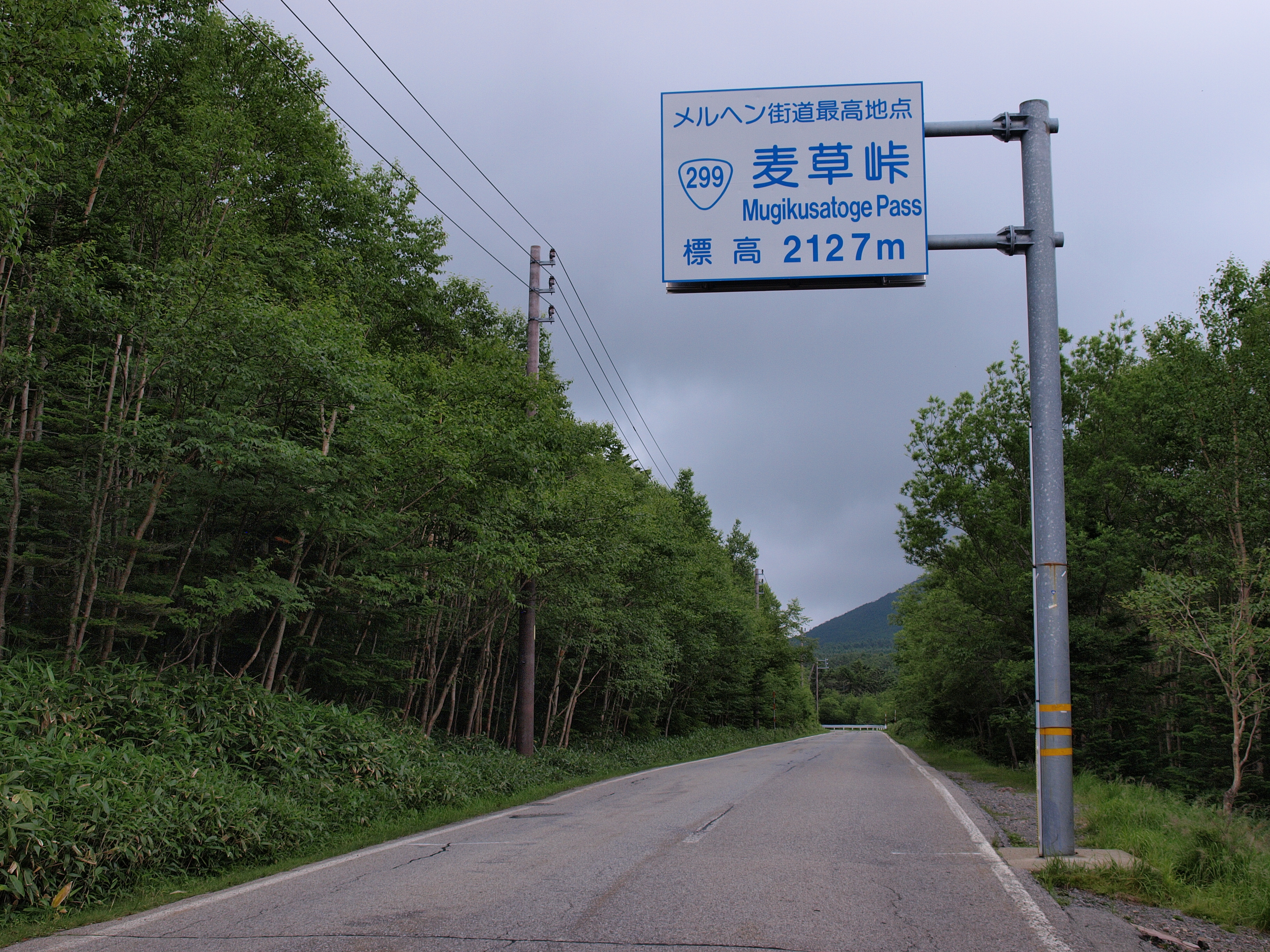
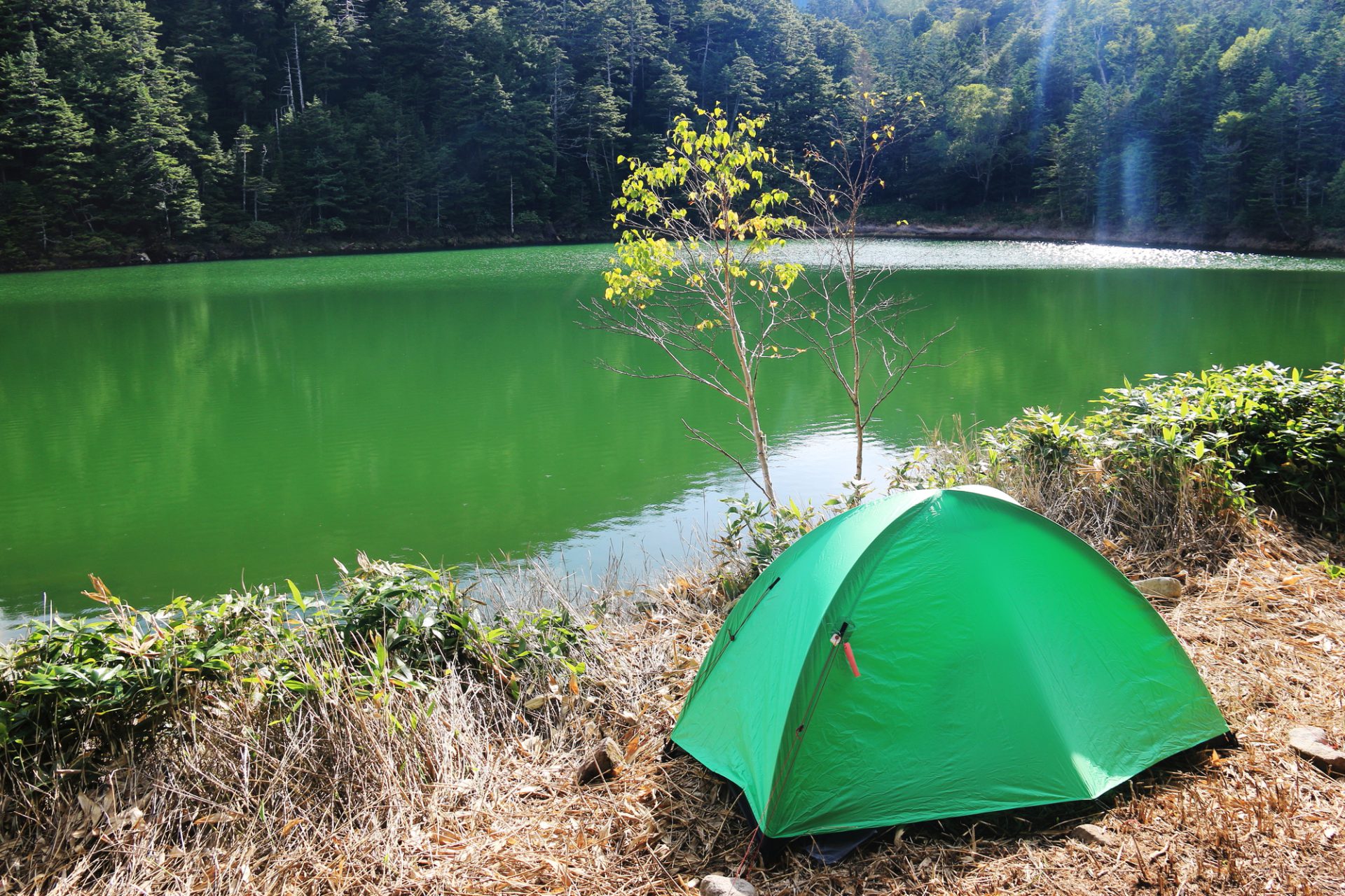
The mountains north of Mugikusa Pass are generally accessible from Tateshina Kogen via the Kita-yatsu-gatake Ropeway, which will take you all the way up to the summit station. From here, there is a maintained hiking route that runs north and south, but we will introduce a route that goes from Mt. Shimagareyama through Mt. Chausuyama to Mugikusa Pass before arriving at Shirakoma-ike and finally heading from Niu to Mt. Tengu-dake so that you can fully enjoy the “Kita Yatsu” experience.
Trailhead vicinity weather
Weekly weather forecast zone:Central Nagano Prefecture
| DAY | WEATHER | LOWEST | HIGHEST |
|---|---|---|---|
| 7/20 | 24℃ | 31℃ | |
| 7/21 | 26℃ | 33℃ | |
| 7/22 | 26℃ | 33℃ | |
| 7/23 | 26℃ | 33℃ | |
| 7/24 | 25℃ | 33℃ | |
| 7/25 | 25℃ | 32℃ |
This is a publication of the calculated figures for weather predictions and is not the weather forecast. There are instances where there will be big differences in the values stated for the mountains, in accord with the topography as well as sunlight, etc. so please take care.
72 hours weather information:Kitayama Tateshina Kitayamadake Ropeway, Chino City, Nagano Prefecture
| Date and time |
7/19 9:00 |
7/19 10:00 |
7/19 11:00 |
7/19 12:00 |
7/19 13:00 |
7/19 14:00 |
7/19 15:00 |
7/19 16:00 |
7/19 17:00 |
7/19 18:00 |
7/19 19:00 |
7/19 20:00 |
7/19 21:00 |
7/19 22:00 |
7/19 23:00 |
7/20 0:00 |
7/20 1:00 |
7/20 2:00 |
7/20 3:00 |
7/20 4:00 |
7/20 5:00 |
7/20 6:00 |
7/20 7:00 |
7/20 8:00 |
7/20 9:00 |
7/20 10:00 |
7/20 11:00 |
7/20 12:00 |
7/20 13:00 |
7/20 14:00 |
7/20 15:00 |
7/20 16:00 |
7/20 17:00 |
7/20 18:00 |
7/20 19:00 |
7/20 20:00 |
7/20 21:00 |
7/20 22:00 |
7/20 23:00 |
7/21 0:00 |
7/21 1:00 |
7/21 2:00 |
7/21 3:00 |
7/21 4:00 |
7/21 5:00 |
7/21 6:00 |
7/21 7:00 |
7/21 8:00 |
7/21 9:00 |
7/21 10:00 |
7/21 11:00 |
7/21 12:00 |
7/21 13:00 |
7/21 14:00 |
7/21 15:00 |
7/21 16:00 |
7/21 17:00 |
7/21 18:00 |
7/21 19:00 |
7/21 20:00 |
7/21 21:00 |
7/21 22:00 |
7/21 23:00 |
7/22 0:00 |
|---|---|---|---|---|---|---|---|---|---|---|---|---|---|---|---|---|---|---|---|---|---|---|---|---|---|---|---|---|---|---|---|---|---|---|---|---|---|---|---|---|---|---|---|---|---|---|---|---|---|---|---|---|---|---|---|---|---|---|---|---|---|---|---|---|
| Weather | ||||||||||||||||||||||||||||||||||||||||||||||||||||||||||||||||
| Temperature | 17℃ | 18℃ | 19℃ | 20℃ | 21℃ | 21℃ | 21℃ | 21℃ | 21℃ | 20℃ | 19℃ | 18℃ | 17℃ | 17℃ | 16℃ | 16℃ | 16℃ | 15℃ | 15℃ | 15℃ | 15℃ | 14℃ | 16℃ | 17℃ | 18℃ | 19℃ | 20℃ | 21℃ | 22℃ | 23℃ | 23℃ | 22℃ | 22℃ | 21℃ | 20℃ | 18℃ | 18℃ | 18℃ | 17℃ | 17℃ | 17℃ | 16℃ | 16℃ | 16℃ | 16℃ | 16℃ | 17℃ | 18℃ | 20℃ | 20℃ | 21℃ | 21℃ | 21℃ | 21℃ | 21℃ | 21℃ | 21℃ | 20℃ | 19℃ | 19℃ | 18℃ | 17℃ | 17℃ | 17℃ |
| Precipitation | 0mm/h | 0mm/h | 0mm/h | 0mm/h | 0mm/h | 0mm/h | 0mm/h | 0mm/h | 0mm/h | 0mm/h | 0mm/h | 0mm/h | 0mm/h | 0mm/h | 0mm/h | ※ 16時間以降は表示されません | ||||||||||||||||||||||||||||||||||||||||||||||||
| Wind direction |
east 2m/s |
east 2m/s |
east 2m/s |
east 2m/s |
east 2m/s |
east 2m/s |
east 2m/s |
east 2m/s |
east 2m/s |
east 2m/s |
east 1m/s |
east 1m/s |
east 1m/s |
east 1m/s |
east 1m/s |
east 1m/s |
east 1m/s |
east 1m/s |
east 1m/s |
east 1m/s |
east 1m/s |
east 1m/s |
east 1m/s |
0m/s |
east 1m/s |
east 1m/s |
east 1m/s |
east 2m/s |
east 2m/s |
east 2m/s |
east 1m/s |
east 1m/s |
east 1m/s |
east 1m/s |
east 1m/s |
east 1m/s |
east 1m/s |
east 1m/s |
east 1m/s |
east 1m/s |
east 1m/s |
east 1m/s |
east 1m/s |
east 1m/s |
east 1m/s |
east 1m/s |
east 1m/s |
0m/s |
0m/s |
0m/s |
0m/s |
east 1m/s |
0m/s |
0m/s |
0m/s |
0m/s |
east 1m/s |
0m/s |
east 1m/s |
0m/s |
east 1m/s |
east 1m/s |
east 1m/s |
east 1m/s |
※The weather information will be information on 5km square including the relevant point.
※天気予報マークは一次細分区域から表示しています
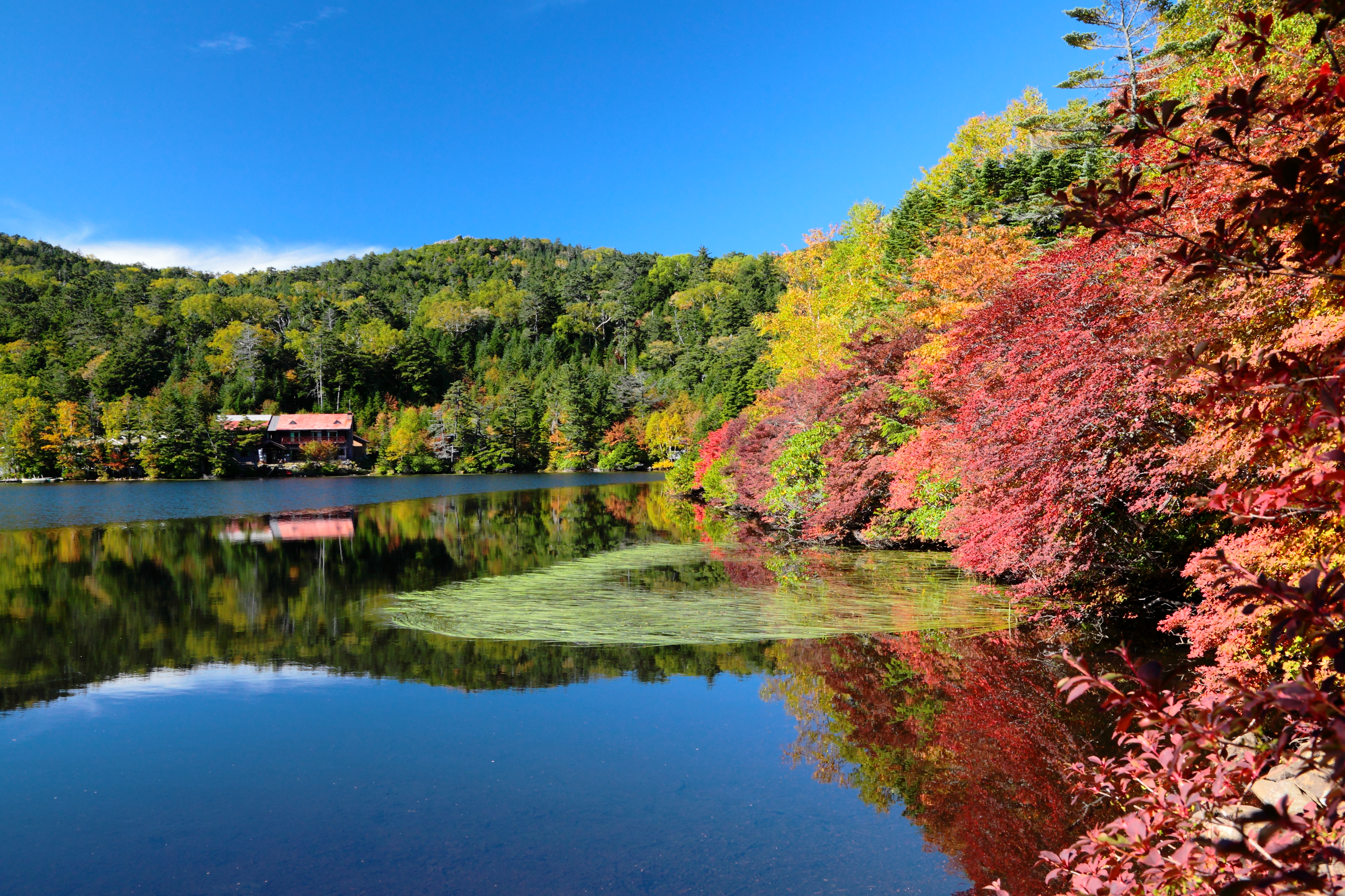
Landscape of Mt. Kita Yatsugatake