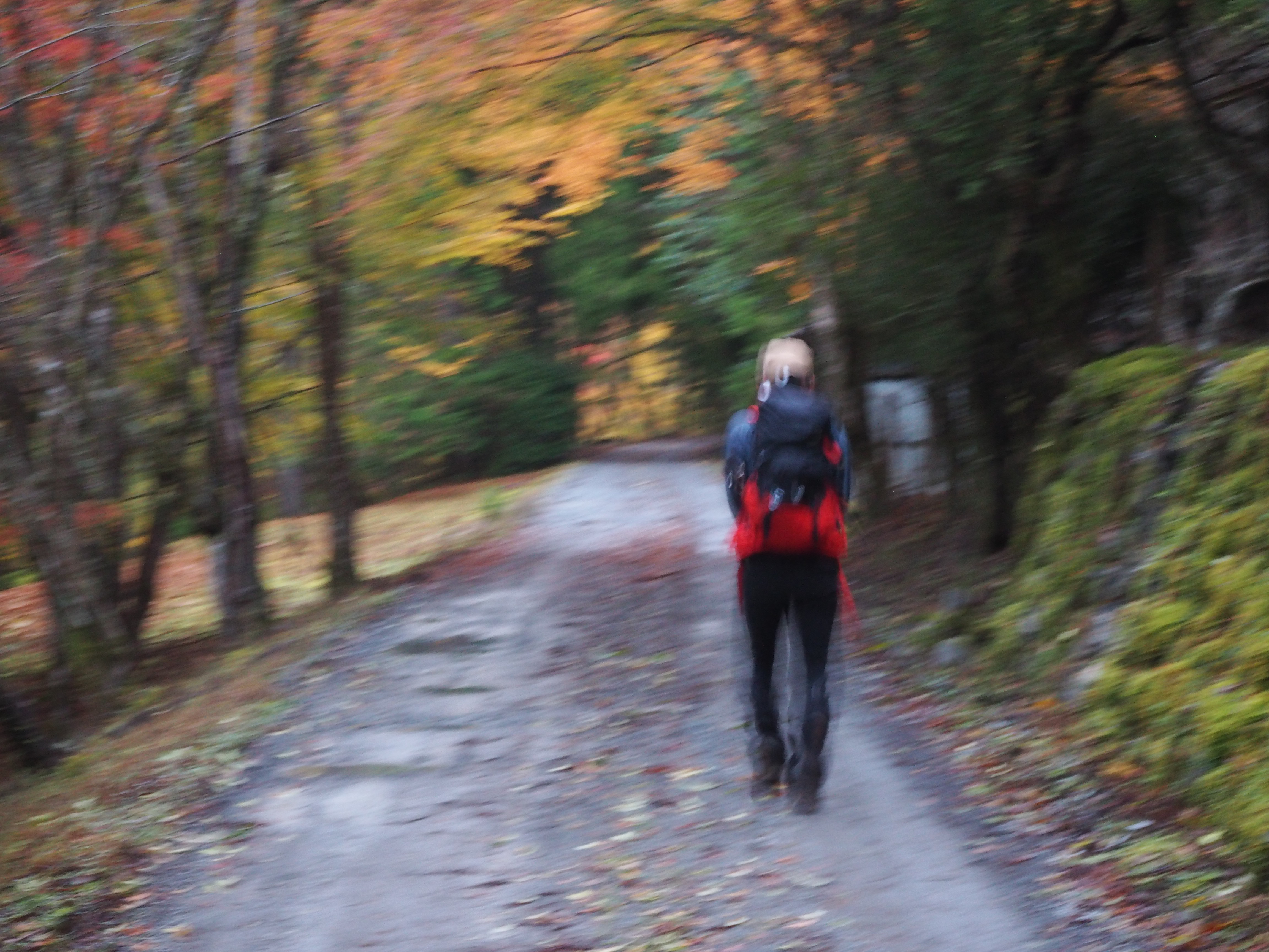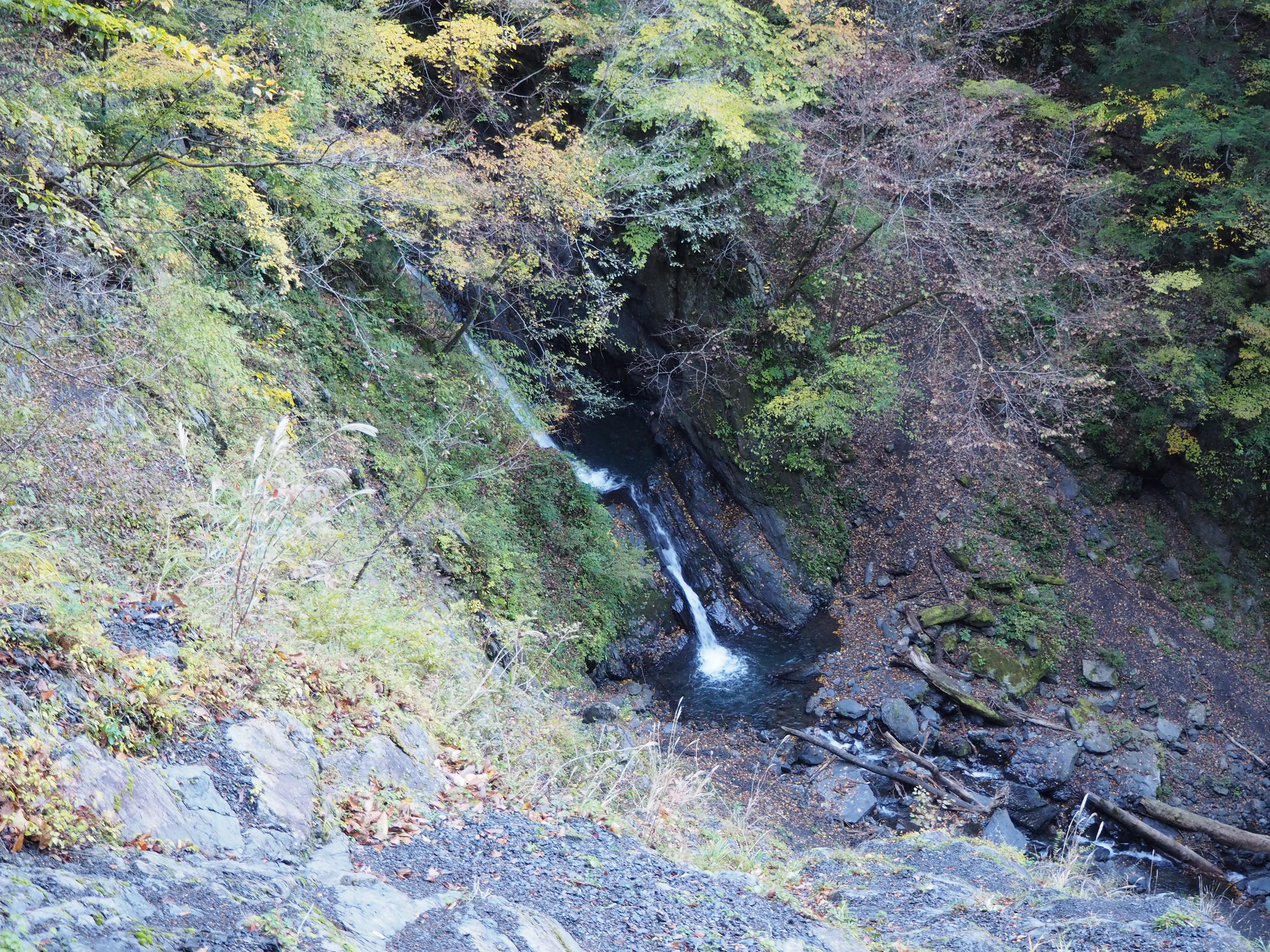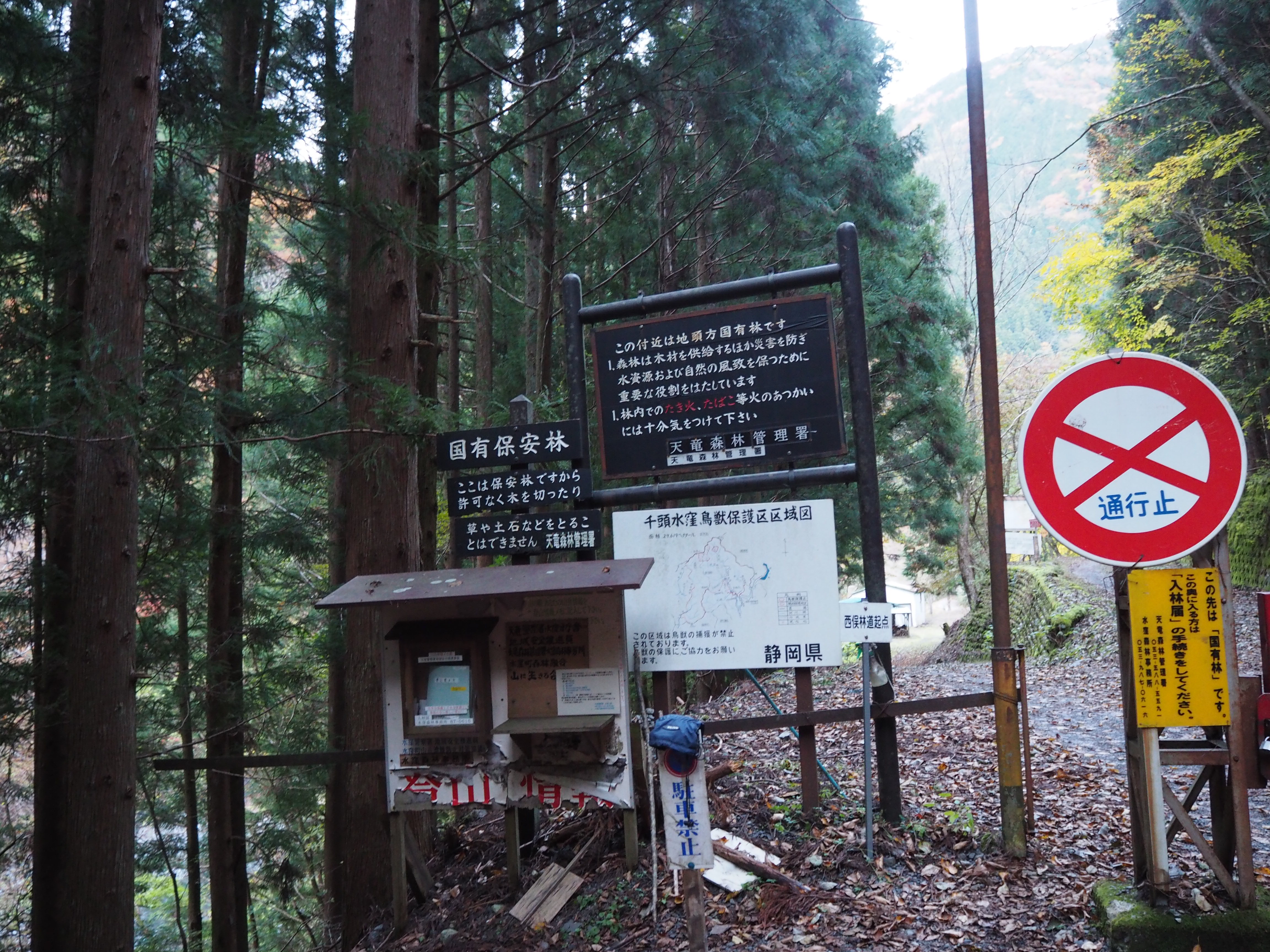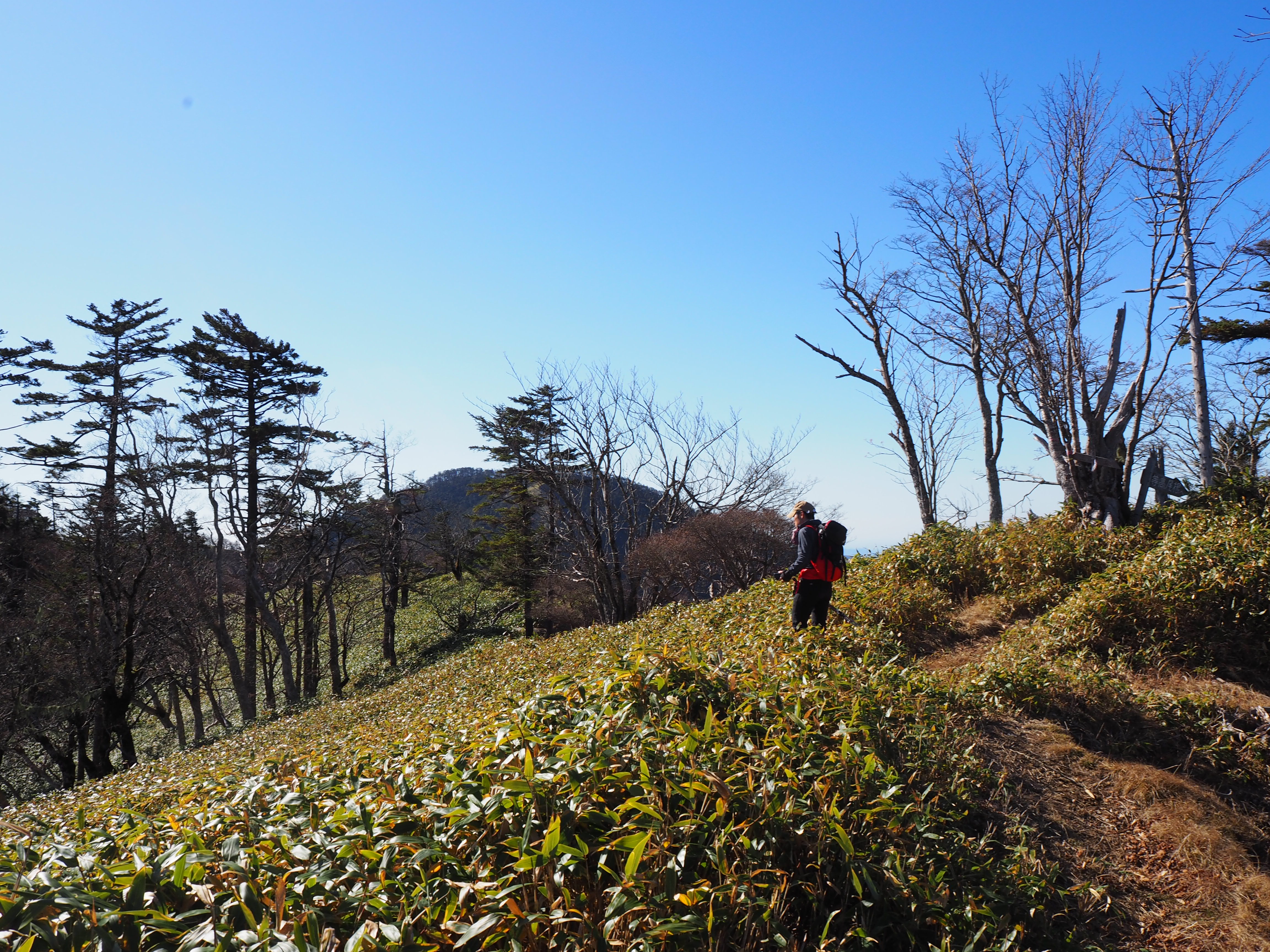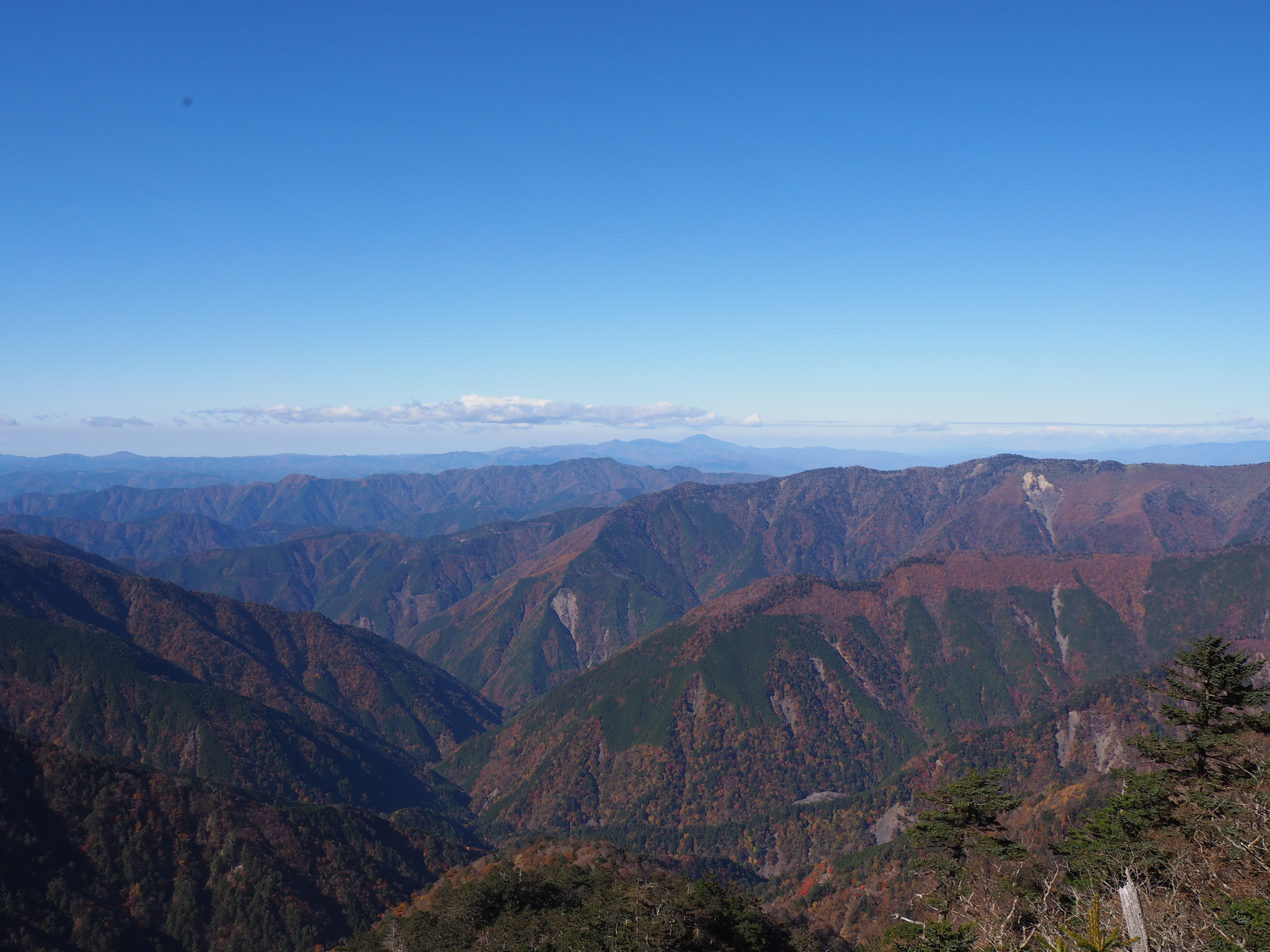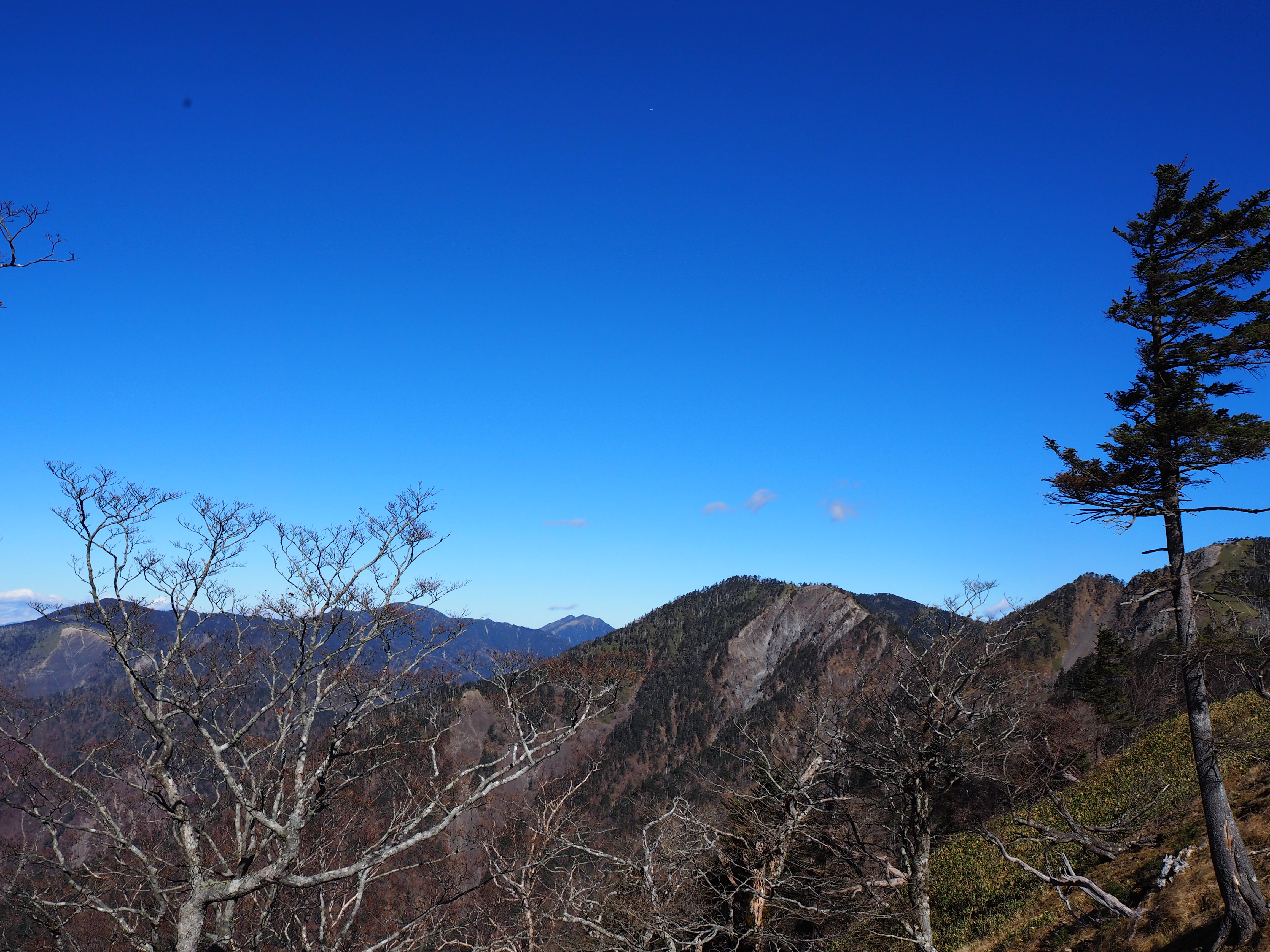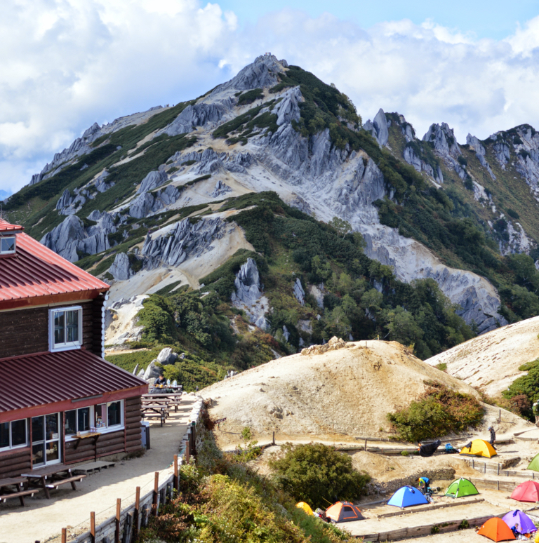
The mountains in the southern portion of the Southern Alps are known as Shin-Nanbu, which means deep south, and consist mainly of the mountain-rich area along the Oi and Abe River systems in Shizuoka Prefecture. Many of the mountains have elevations around 2000 meters, and the area has a mild climate, which means there is no harsh winter or major snow accumulation. However, do not underestimate their difficulty. In many cases, there is a long distance to the trailheads and the mountain huts are poorly maintained resulting in few hikers, so your climb may feel extremely secluded. This area is recommended for those who want to hike in a quiet atmosphere with views of Mt. Fuji.
【Shin-Nanbu】
●Mt.Daimugen-san 2,329m 200 famous mountains in Japan
●Kuroboshi-dake 2,068m 300 famous mountains in Japan(2,000m peak at the southernmost tip of Japan)
●Mt.Takatsuka-yama 1,621m 300 famous mountains in Japan
Mt. Dai-mugen-san currently does not have any open general routes. The route from the Oi River only reaches the P4 Sho Mugen koya mountain hut. From there, the route is for advanced hikers and takes more than 11 hours in one direction from Sumata Pass. Mt. Kuroboshi-dake has two main routes, one from Sumata Pass and the other from Misakubo Dam in Hamamatsu City, but the route from Sumata Pass is difficult for general hikers to complete in a day and requires a bivouac, so we will introduce the route from Misakubo Dam that leads into the gorge. The Sumata Pass route is also a long distance to Mt. Takatsuka, so the route from Yamainudan along the way, is the road more traveled. Try climbing the route that includes the fantastic views from Hacchodan. The most often climbed route to Mt. Takatsuka-yama is from the trailhead at Yamainudan mountain hut. (*The forest trail is currently closed due to a typhoon in 2019.)
Trailhead vicinity weather
| DAY | WEATHER | LOWEST | HIGHEST |
|---|---|---|---|
| 7/3 | 24℃ | 31℃ | |
| 7/4 | 26℃ | 32℃ | |
| 7/5 | 26℃ | 33℃ | |
| 7/6 | 26℃ | 34℃ | |
| 7/7 | 26℃ | 33℃ | |
| 7/8 | 26℃ | 33℃ |
This is a publication of the calculated figures for weather predictions and is not the weather forecast. There are instances where there will be big differences in the values stated for the mountains, in accord with the topography as well as sunlight, etc. so please take care.
72 hours weather information:Chubu region, Shizuoka prefecture
| Date and time |
7/2 9:00 |
7/2 10:00 |
7/2 11:00 |
7/2 12:00 |
7/2 13:00 |
7/2 14:00 |
7/2 15:00 |
7/2 16:00 |
7/2 17:00 |
7/2 18:00 |
7/2 19:00 |
7/2 20:00 |
7/2 21:00 |
7/2 22:00 |
7/2 23:00 |
7/3 0:00 |
7/3 1:00 |
7/3 2:00 |
7/3 3:00 |
7/3 4:00 |
7/3 5:00 |
7/3 6:00 |
7/3 7:00 |
7/3 8:00 |
7/3 9:00 |
7/3 10:00 |
7/3 11:00 |
7/3 12:00 |
7/3 13:00 |
7/3 14:00 |
7/3 15:00 |
7/3 16:00 |
7/3 17:00 |
7/3 18:00 |
7/3 19:00 |
7/3 20:00 |
7/3 21:00 |
7/3 22:00 |
7/3 23:00 |
7/4 0:00 |
7/4 1:00 |
7/4 2:00 |
7/4 3:00 |
7/4 4:00 |
7/4 5:00 |
7/4 6:00 |
7/4 7:00 |
7/4 8:00 |
7/4 9:00 |
7/4 10:00 |
7/4 11:00 |
7/4 12:00 |
7/4 13:00 |
7/4 14:00 |
7/4 15:00 |
7/4 16:00 |
7/4 17:00 |
7/4 18:00 |
7/4 19:00 |
7/4 20:00 |
7/4 21:00 |
7/4 22:00 |
7/4 23:00 |
7/5 0:00 |
|---|---|---|---|---|---|---|---|---|---|---|---|---|---|---|---|---|---|---|---|---|---|---|---|---|---|---|---|---|---|---|---|---|---|---|---|---|---|---|---|---|---|---|---|---|---|---|---|---|---|---|---|---|---|---|---|---|---|---|---|---|---|---|---|---|
| Weather | ||||||||||||||||||||||||||||||||||||||||||||||||||||||||||||||||
| Temperature | 21℃ | 21℃ | 21℃ | 22℃ | 21℃ | 21℃ | 21℃ | 20℃ | 20℃ | 20℃ | 20℃ | 19℃ | 19℃ | 18℃ | 18℃ | 18℃ | 18℃ | 18℃ | 18℃ | 18℃ | 18℃ | 18℃ | 19℃ | 21℃ | 23℃ | 24℃ | 24℃ | 25℃ | 25℃ | 24℃ | 24℃ | 22℃ | 22℃ | 21℃ | 21℃ | 20℃ | 20℃ | 20℃ | 19℃ | 20℃ | 19℃ | 19℃ | 19℃ | 19℃ | 19℃ | 19℃ | 20℃ | 20℃ | 21℃ | 22℃ | 23℃ | 24℃ | 25℃ | 25℃ | 25℃ | 24℃ | 24℃ | 23℃ | 22℃ | 22℃ | 21℃ | 21℃ | 21℃ | 21℃ |
| Precipitation | 0mm/h | 0mm/h | 0mm/h | 0mm/h | 0mm/h | 0mm/h | 0mm/h | 0mm/h | 0mm/h | 0.4mm/h | 0.4mm/h | 0mm/h | 0mm/h | 0mm/h | 0mm/h | ※ 16時間以降は表示されません | ||||||||||||||||||||||||||||||||||||||||||||||||
| Wind direction |
none 1m/s |
none 1m/s |
none 1m/s |
none 1m/s |
none 1m/s |
none 1m/s |
none 1m/s |
none 1m/s |
none 1m/s |
none 1m/s |
none 1m/s |
none 1m/s |
none 1m/s |
none 1m/s |
none 1m/s |
none 2m/s |
none 1m/s |
none 2m/s |
none 2m/s |
none 2m/s |
none 1m/s |
none 1m/s |
none 1m/s |
0m/s |
none 1m/s |
none 1m/s |
none 2m/s |
none 2m/s |
none 2m/s |
none 2m/s |
none 2m/s |
none 1m/s |
none 2m/s |
none 1m/s |
none 2m/s |
none 1m/s |
none 1m/s |
none 1m/s |
none 1m/s |
none 1m/s |
0m/s |
none 1m/s |
none 1m/s |
none 1m/s |
none 1m/s |
none 1m/s |
none 1m/s |
0m/s |
none 1m/s |
none 1m/s |
none 1m/s |
none 1m/s |
none 2m/s |
none 2m/s |
none 1m/s |
none 1m/s |
none 1m/s |
none 1m/s |
none 1m/s |
none 1m/s |
none 1m/s |
none 1m/s |
none 1m/s |
0m/s |
※The weather information will be information on 5km square including the relevant point.
※天気予報マークは一次細分区域から表示しています
