Shirakawa forest road Route
②Shirakawa forest road 〜 North ridge line 〜 Owl rock 〜 7th station 〜 Mt. Kohide-yama 〜 Shirakawa forest road
Technical level: B
Physical strength level: 2
Difficulty level: ★★
This is the shortest route to Mt. Kohide-yama. However, it takes a considerable amount of time to get to the trailhead by car. From the village of Otaki on the way to the Otaki route in the Ontake mountains in Nagano Prefecture, go west along the Otaki river, turn left from the village of Takigoshi, go to the Shirakawa forest road, and drive about 15 minutes to reach the trailhead. From Otome Valley, it takes nearly 5 hours just to climb up the mountain, but this route will get you to the summit in about 2 to 3 hours.
●Hiking Data
Schedule: day trip
Walking hours: 3 hours 55 minutes (2 hours 10 minutes up, 1 hour 45 minutes down)
Walking distance: 5.81 km
Difference in elevation: 795 m
Shirakawa forest road trailhead

Elevation 1,302m
↓ 30 minutes
North ridge
Elevation 1,450m
↓ 20 minutes
Owl rock
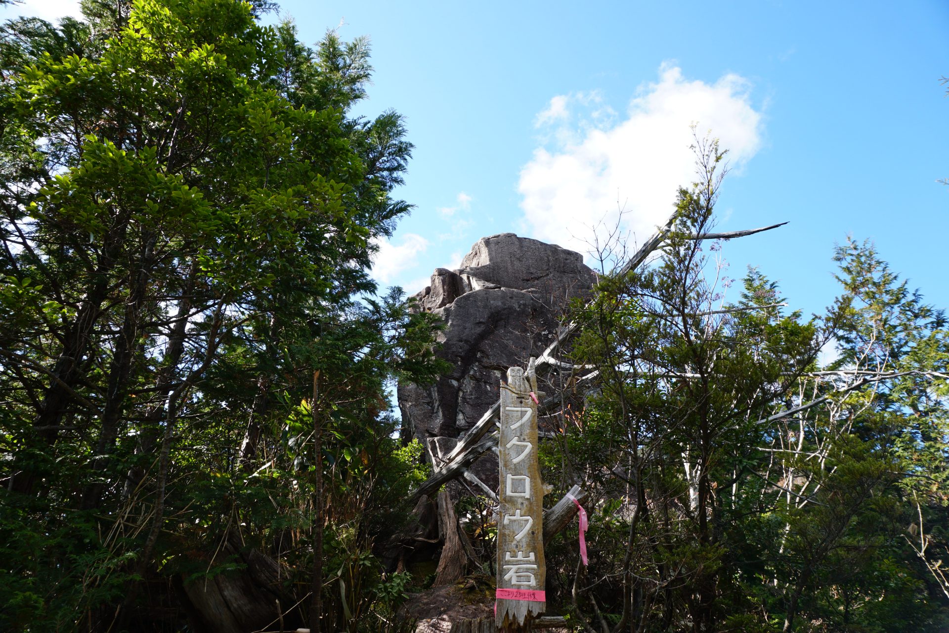
Elevation 1,542m
↓ 40 minutes
Seventh station
Elevation 1,780m
↓ 50 minutes
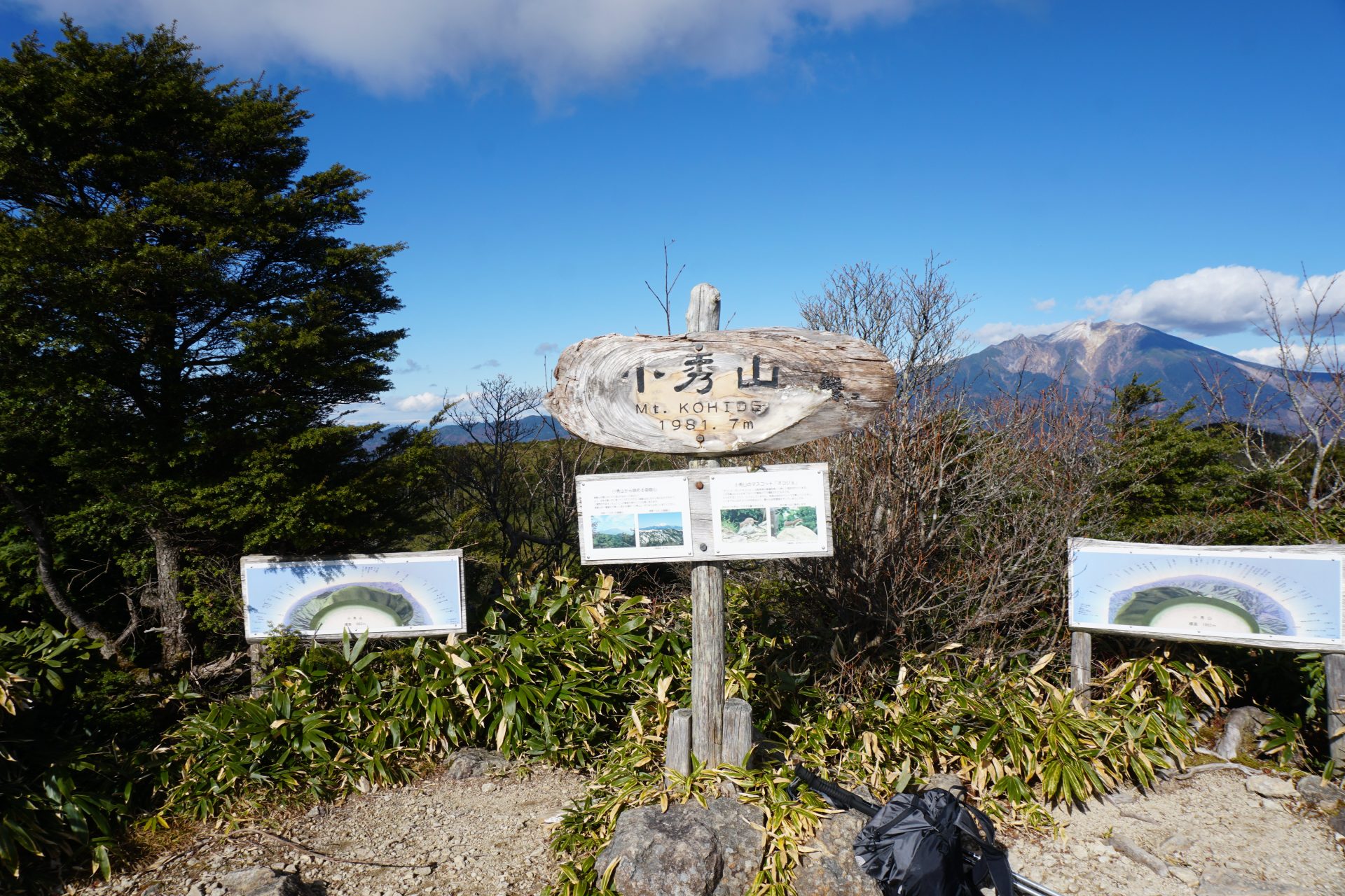
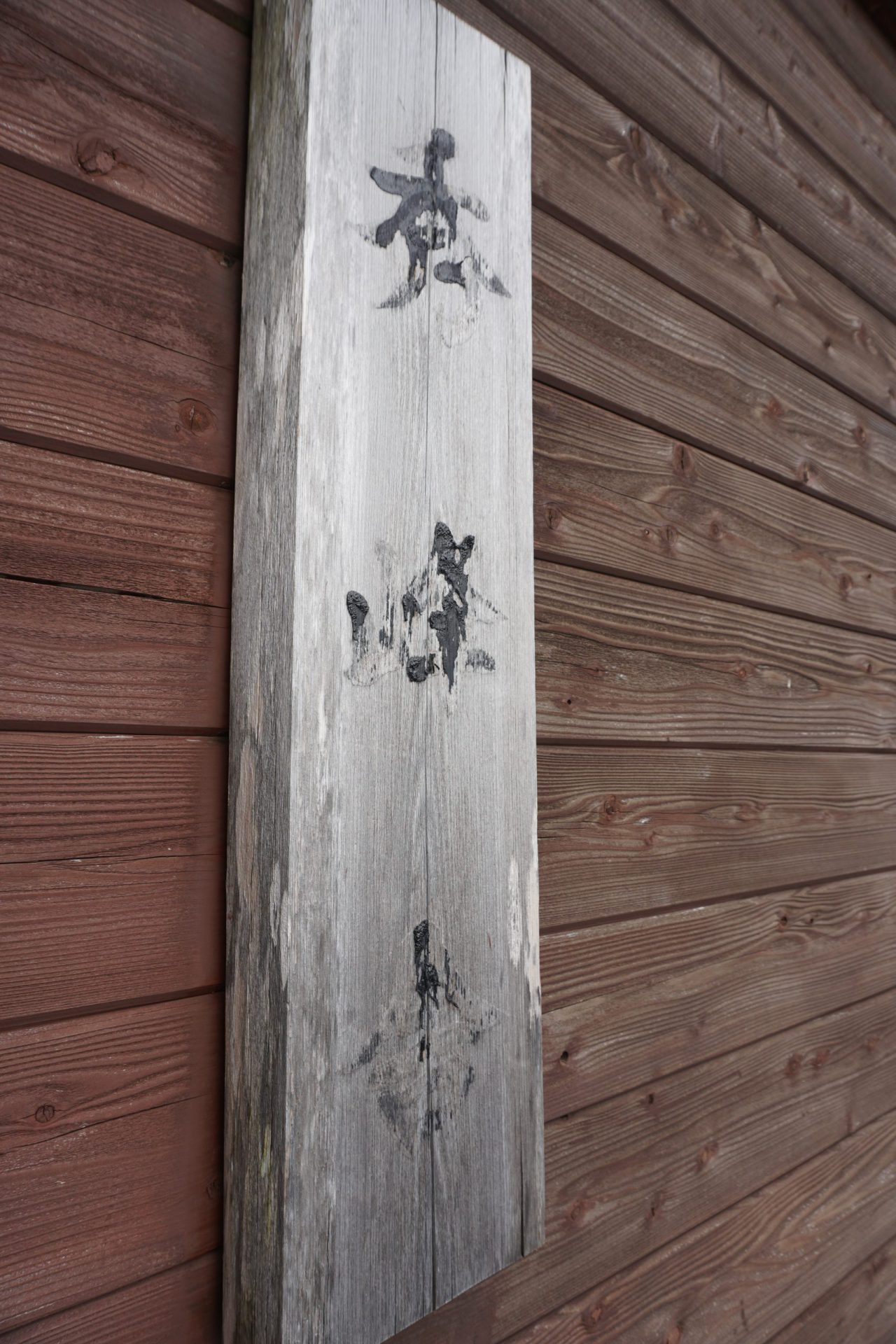
Mt. Kohide-yama summit
Elevation 1981.9m
↓ 40 minutes
Seventh station
Elevation 1,780m
↓ 30 minutes
Owl rock
Elevation 1,542m
↓ 20 minutes
North ridge
Elevation 1,450m
↓ 15 minutes
Shirakawa forest road trailhead
Elevation 1,302m

Route Guide
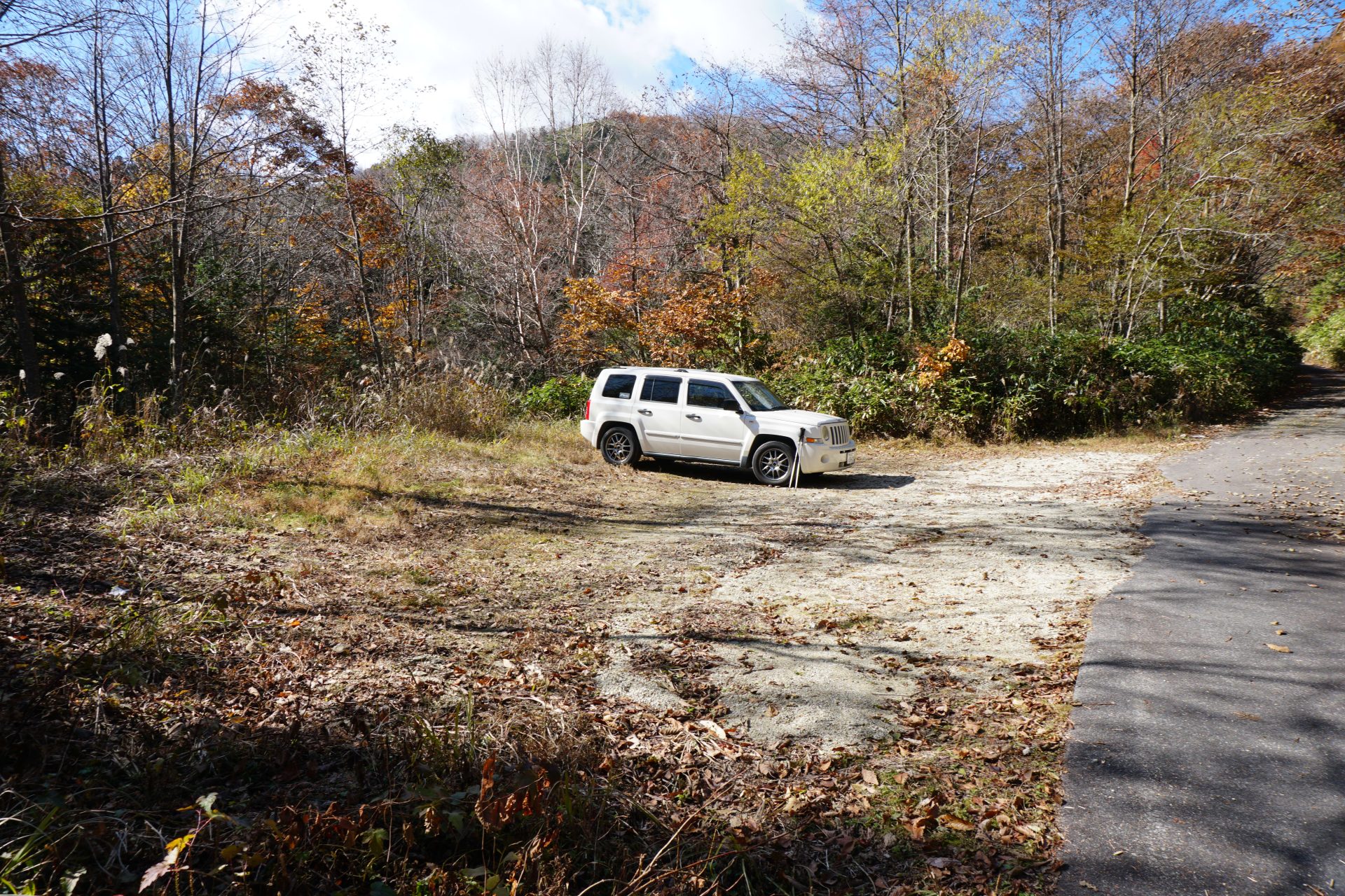
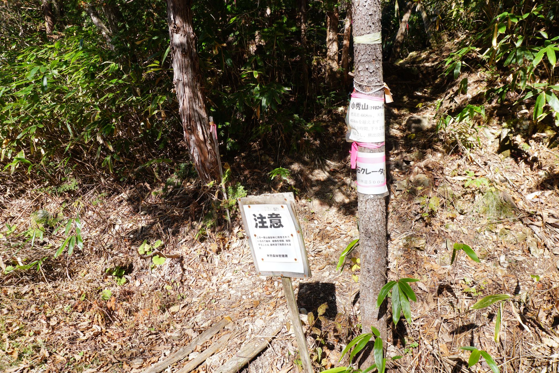
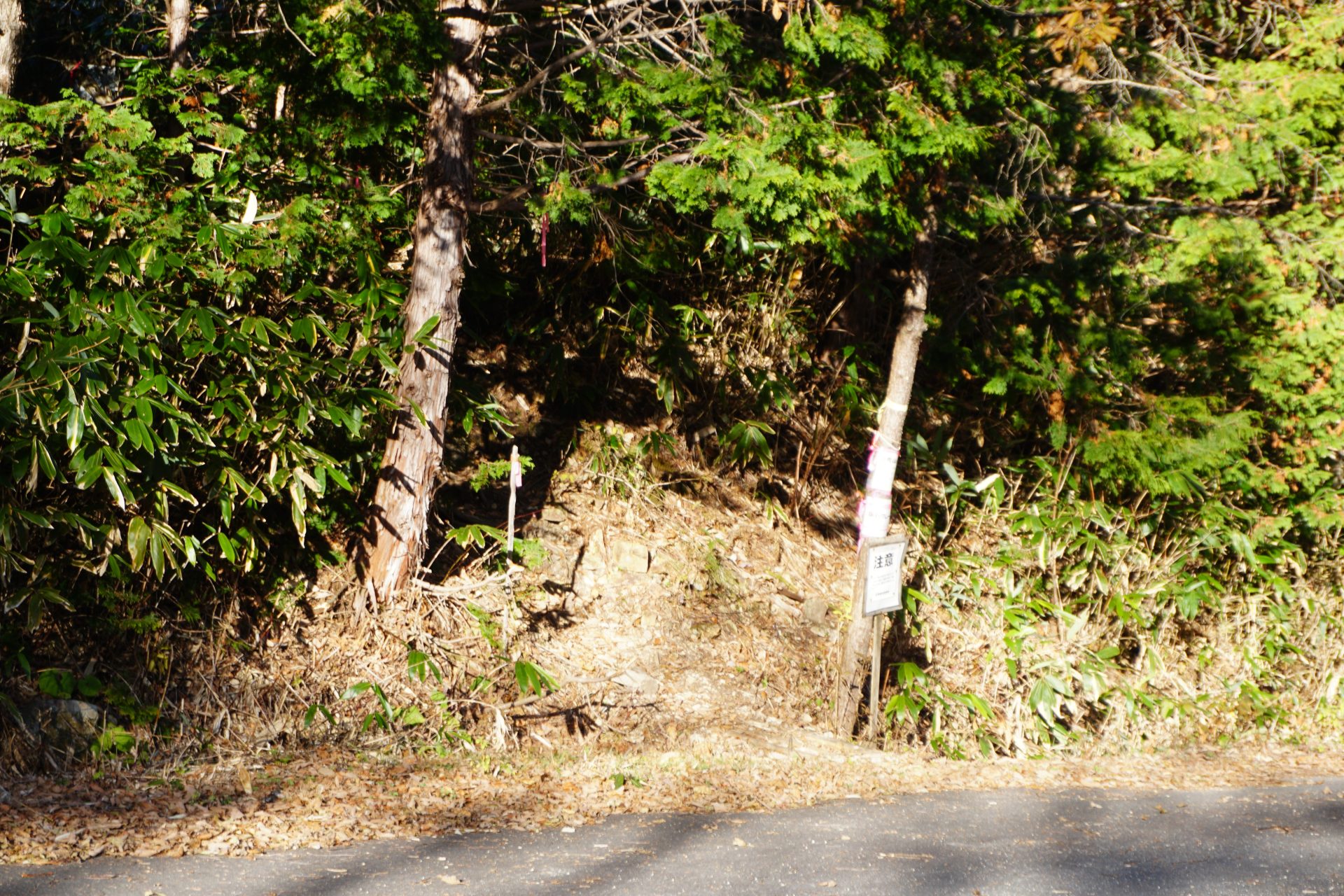
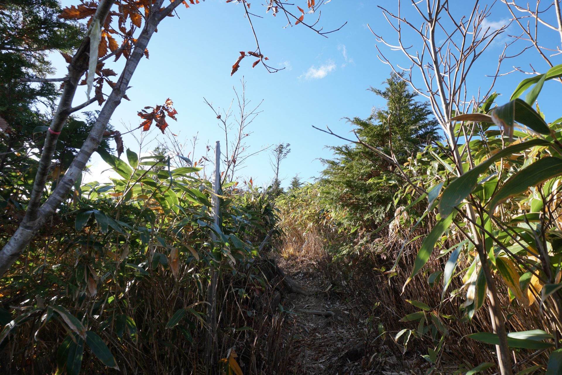
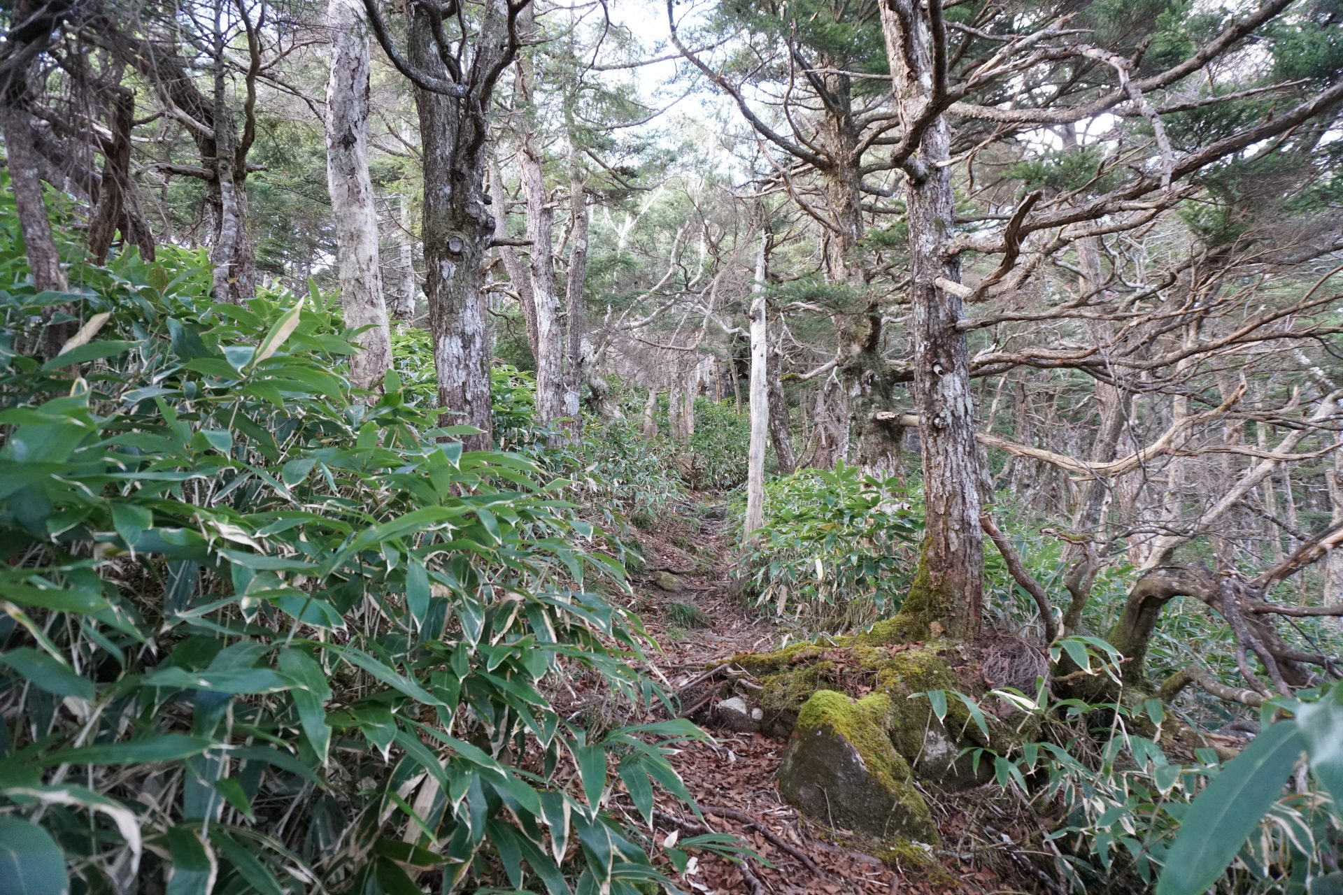
The Shirakawa forest road trailhead is located on the right side of the road about 15 minutes after entering the forest road by car from Takigoshi. There are parking spaces for cars on the left side of the forest road, on the opposite side from the trailhead, and it is estimated that about 8 cars can park there in total.The trailhead says it takes 3 hours uphill and 2 hours downhill. The Yama to Kogen map says the ascent takes only 1.5 hours, so with such a large difference, it is hard to say which is correct. If you are not confident about your physical strength, please plan accordingly.The trail to Owl rocks is not an official trail on the Yama-to-Kogen Map, but the path is very clear and there is no need to worry about getting lost. The local mountaineering clubs must have worked hard to improve the trail year by year. There are no water stations, so please be careful especially in summer.
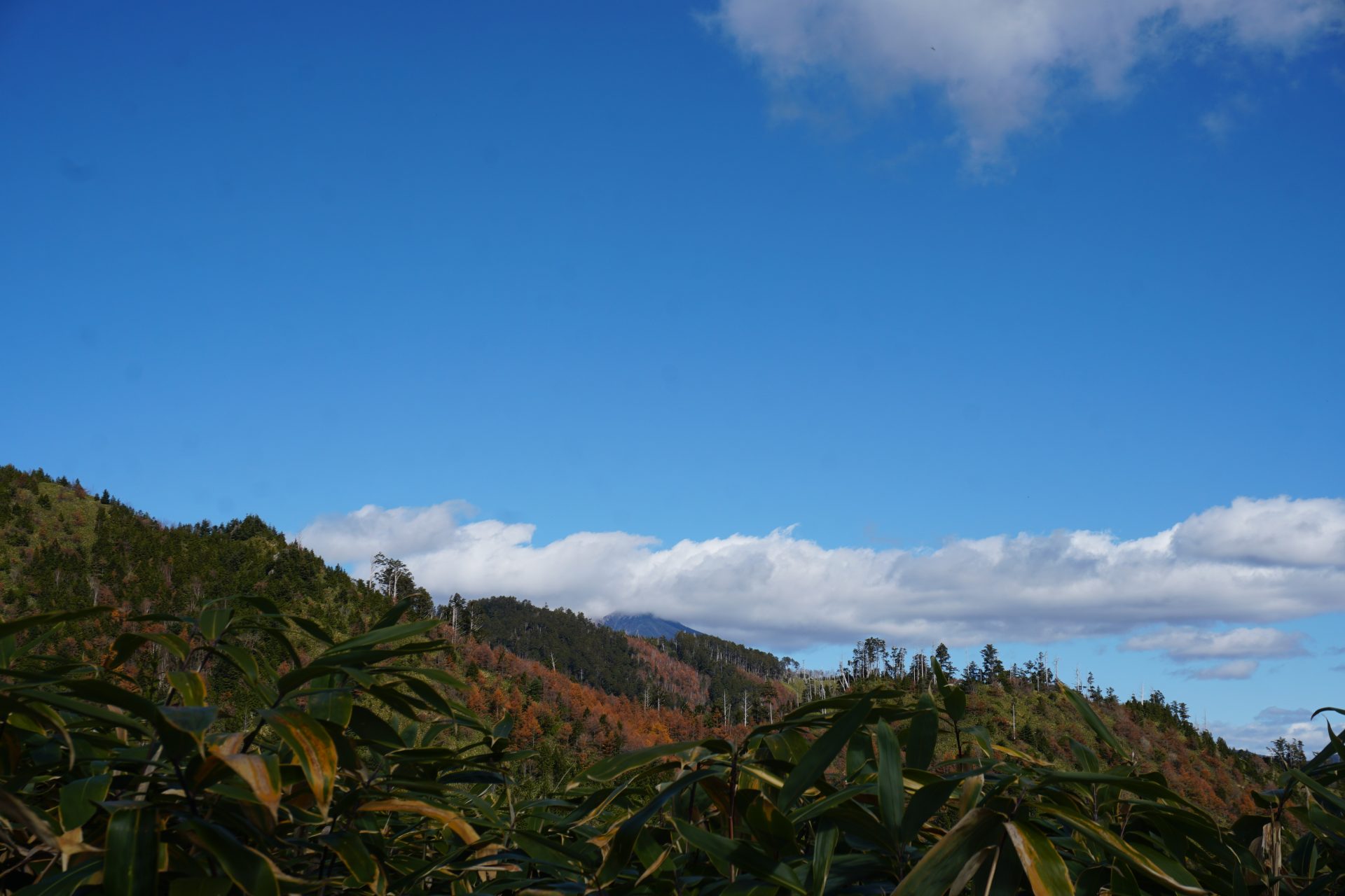
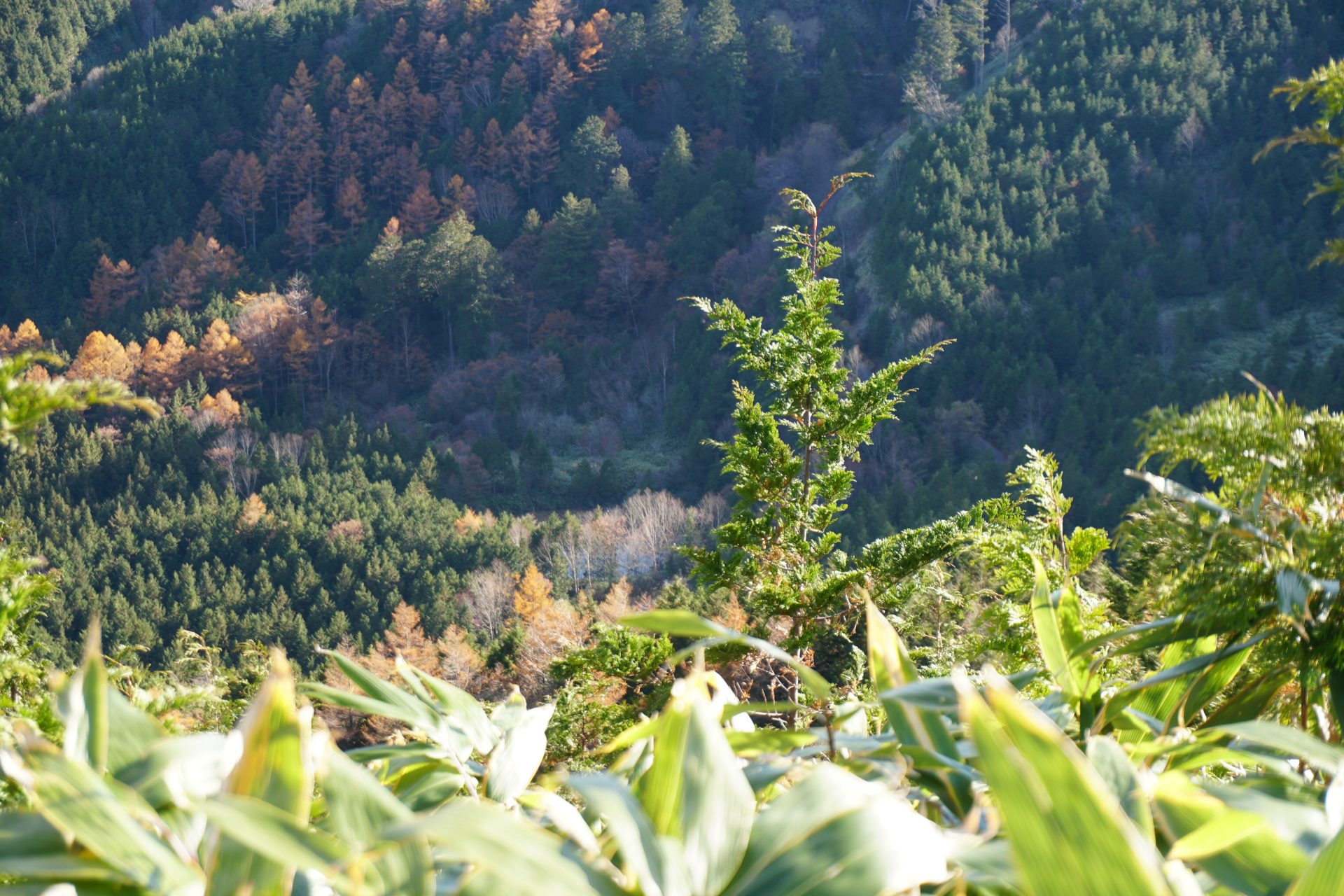
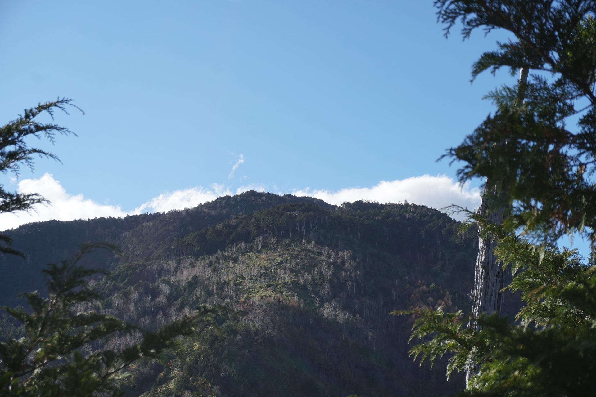
At the beginning of the climb, there is a steep climb up to the ridge. The first station is marked in the middle of the forest. After 20 to 30 minutes, the steep climb is over and you will gently continue along the north ridge of Mt. Kohide-yama. Looking back at some open points along the ridge, you can catch a glimpse of the Ontake mountains and Mt. Kiso-koma-gatake. After taking a breather, you will continue along the ridge. A unique feature of the trail is that at a point just before the second station, it is indicated that a meteorite crater can be seen beneath the mountain, but we could not see any clear evidence of this from the trail. (The 7th photo in the photo row may be so.)
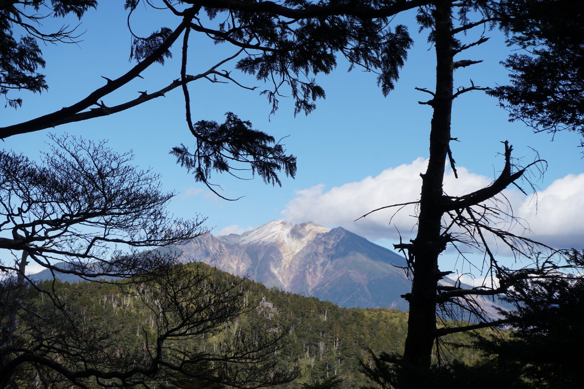
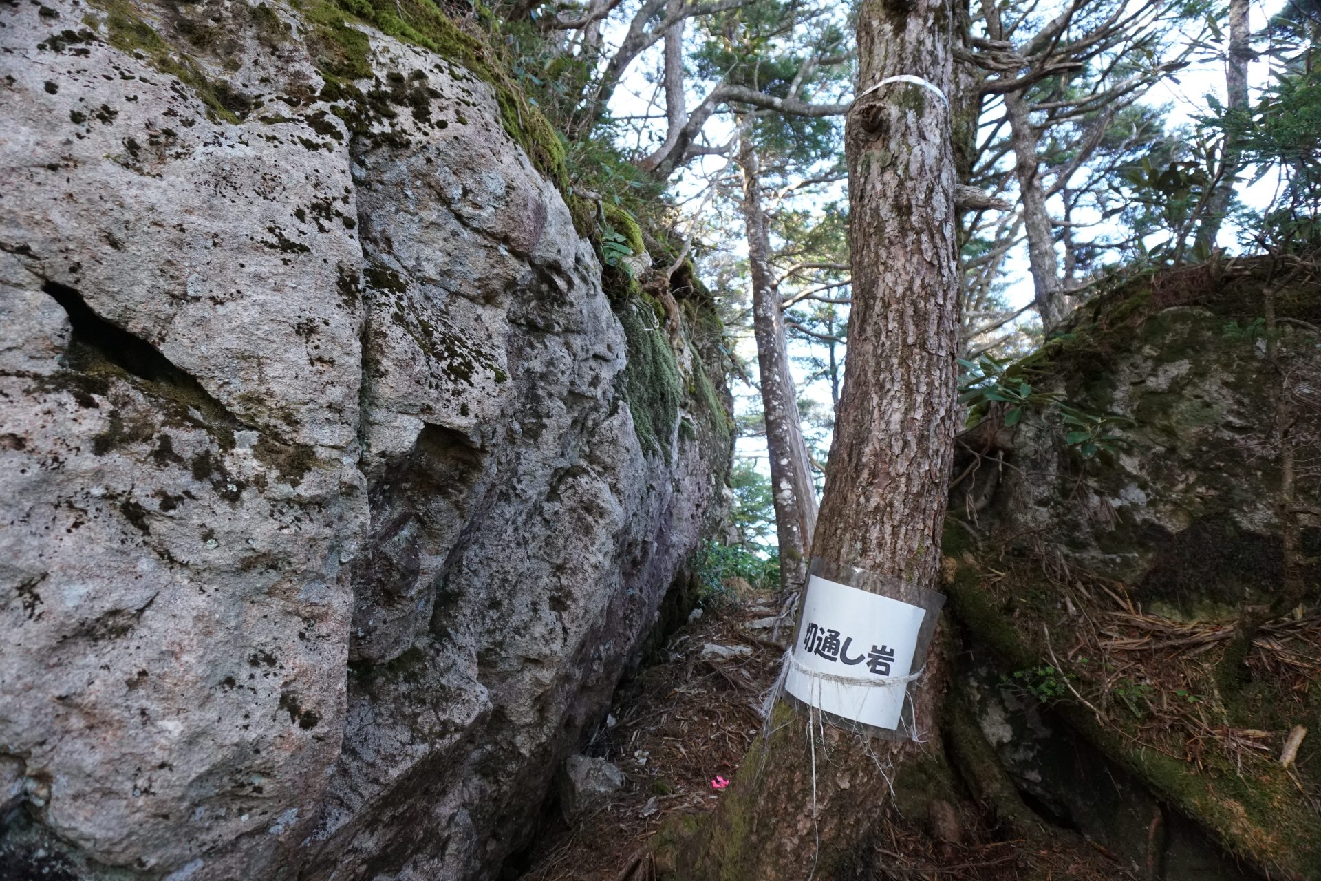
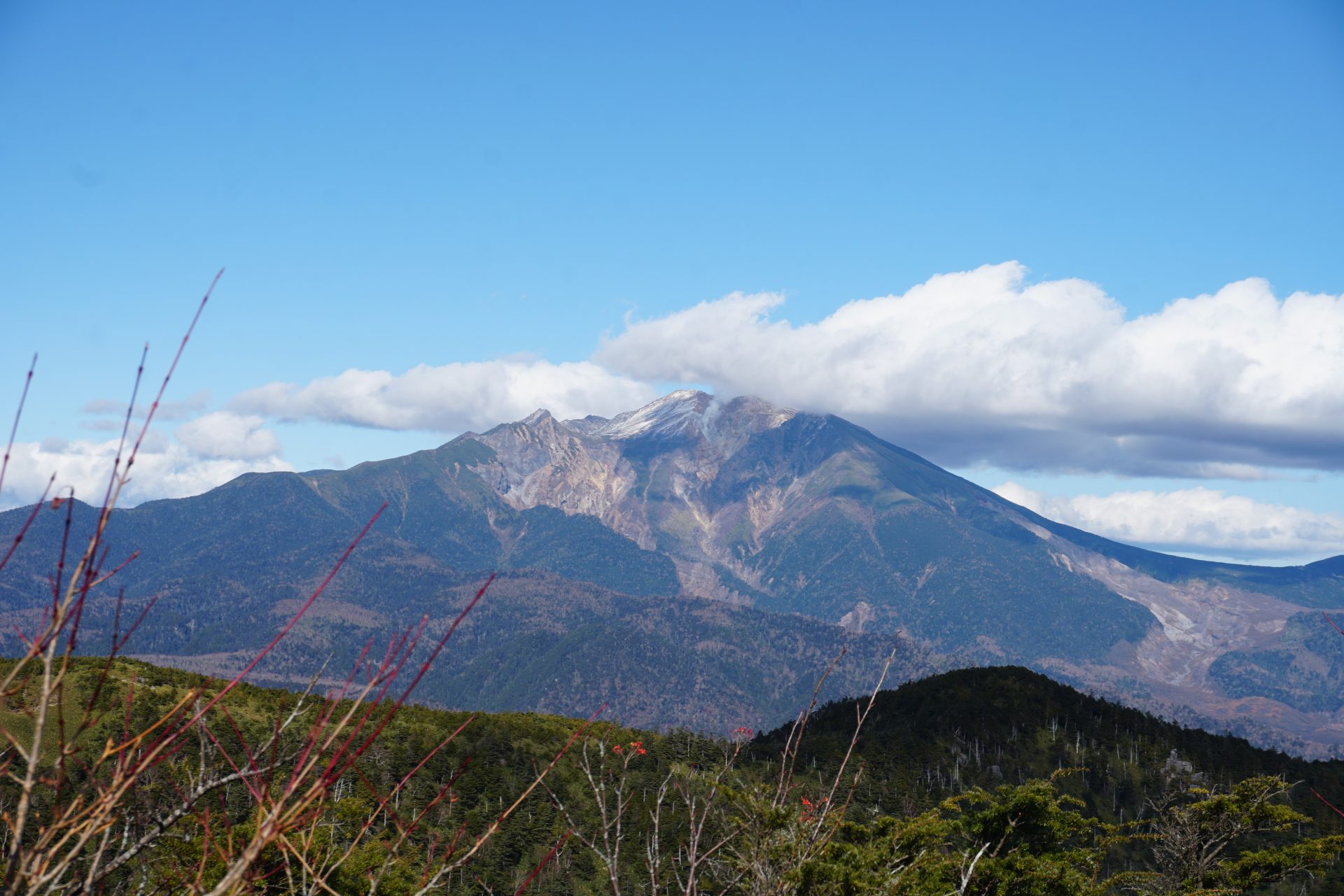
After crossing the seventh station, a series of named giant rocks appear one after another, culminating in a cut-through rock. Station notations could not be confirmed from the halfway point, However, the unique notation on the trail of the simmilor height of 634 meters for the Tokyo Sky Tree can be confirmed, and you will soon reach the summit of Mt. Kohide-yama.From the summit, you can see the beautiful mountain form of the Ontake mountains in front of you to the north, and the crater on the southern slope, where fumes have been rising unchanged from the Hell Valley since 2014. To the east are the imposing peaks of the Central Alps and Mt. Ena-san, to the west is the direction of Mt. Kurai-yama.
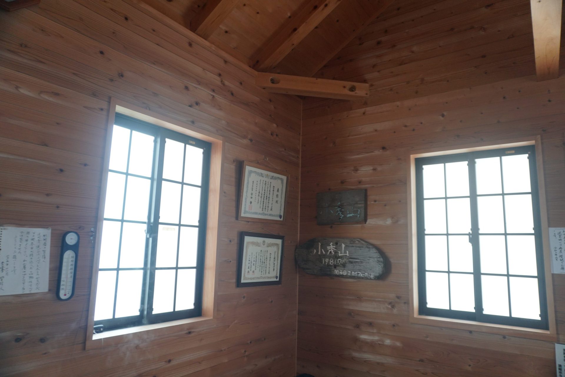
To the south is presumably Nagoya City and Ise Bay, but as expected, we could not confirm as far as Ise Bay.After enjoying the view at the summit, we stopped by the refugee hut Shuhosha to thank them for the maintenance of the trail and the refugee hut, and put our gratitude in a box. The pace of time taken was different for each person, but it seemed more than the time on the Yama-to-Kogen Map and less than the time indicated at the trailhead.