Chausu-dake – Hijiri-dake Route
①Hata-nagi Daiichi Dam ~ Mt. Chausu-dake Trailhead ~ Mt. Chausu-dake ~ Mt. Minami-dake ~ Hijiri-daira-koya Mountain hut ~ Mt. Hijiri-dake ~ Hijiri-daira-koya Mountain hut ~ Mt. Chausu-dake trailhead ~ Hata-nagi Daichi Dam
Technical level: C
Physical strength level: 9
Difficulty level: ⛰️⛰️⛰️⛰️⛰️
An exciting hiking trip through beautiful nature.
Enjoy the Mt. Hijiri-dake area fully
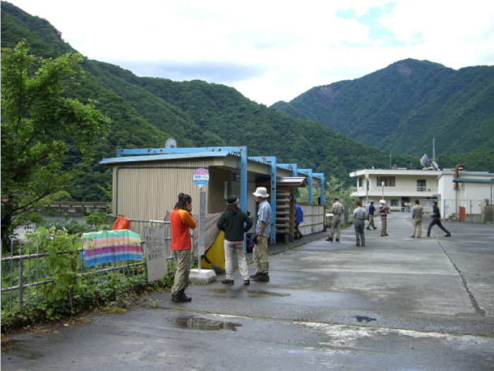
Access to
Hatanagi Daiichi Dam Numadaira Gate
●Hiking Data
Schedule: three nights four days
Walking hours: 28 hours 20 minutes
(Up: 16 hours 25 minutes/Down: 11 hours 55 minutes)
Walking distance: 35.1 km
Difference in elevation: 4,307 m
Hata-nagi Daiichi dam

Elevation 946m
↓ 1 hour 5 minutes
Mt. Chausu-dake Trailhead
Elevation 960m
↓ 6hours 25 minutes
Chausu-koya Mountain hut
Elevation 2,400m
↓ 45 minutes
Mt. Chausu-dake
Elevation 2,604m
↓ 2 hours 25 minutes
Mt. Kamikouchi-dake
Elevation 2,803m
↓ 2 hours 30 minutes
Hijiri-daira koya Mountain hut
Elevation 2,265m
↓ 2 hours 55 minutes
Mt. Hijiri-dake
Elevation 3,013m
↓ 20 minutes
Mt. Oku-hiriji-dake
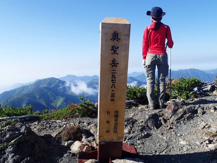
Elevation 2,978m
↓ 6 hours 15 minutes
Chausu koya Mountain hut descending point
Elevation 2,490m
↓ 4 hours 35 minutes
Mt. Chausu-dake trailhead
Elevation 960m
↓ 1 hour 5 minutes
Hata-nagi Daiichi Dam
Elevation 946m

Route Guide
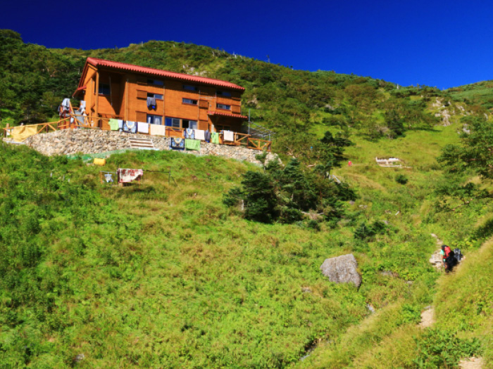
This course is set as three nights and four days. There are three open mountain huts along the route, Yokokubo-sawa-koya Mountain hut, Chausu-koya Mountain hut, and Hijiri-daira-koya Mountain hut. There is Usokko-sawa emergency shelter, located about 1 hour and 50 minutes away from Hata-nagi O-Tsuri bridge. Another route can be set as staying at Chausu-koya Mountain hut for the first night, Hijiri-daira-koya Mountain hut for the second, and Chausu koya Mountain hut or Yokokubo-sawa koya Mountain hut for the third night. Reservations must be made at each hut when your schedule is finalized. There is also a camping site for each hut.
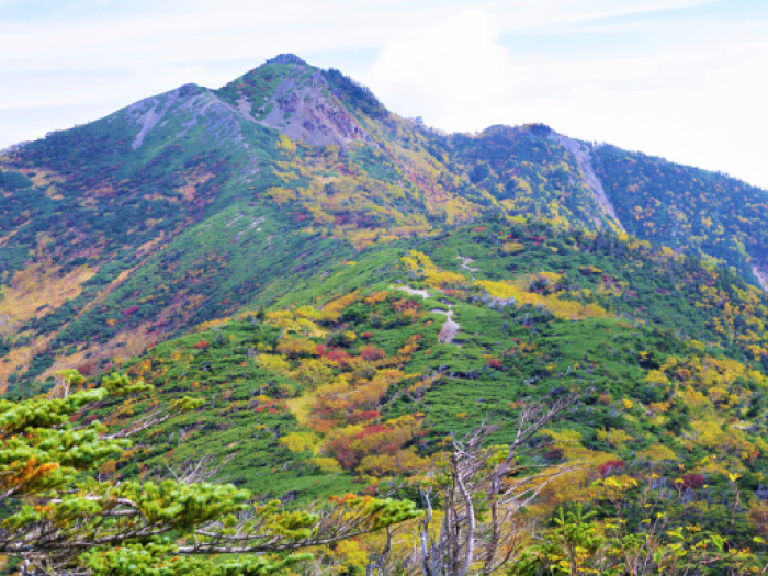
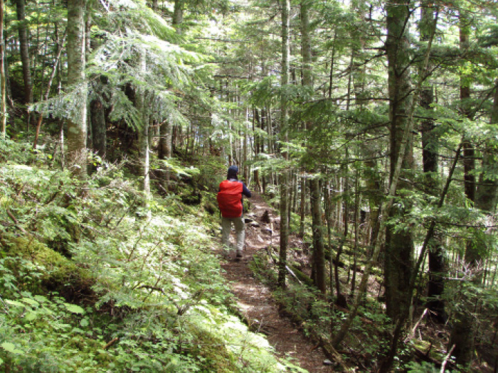
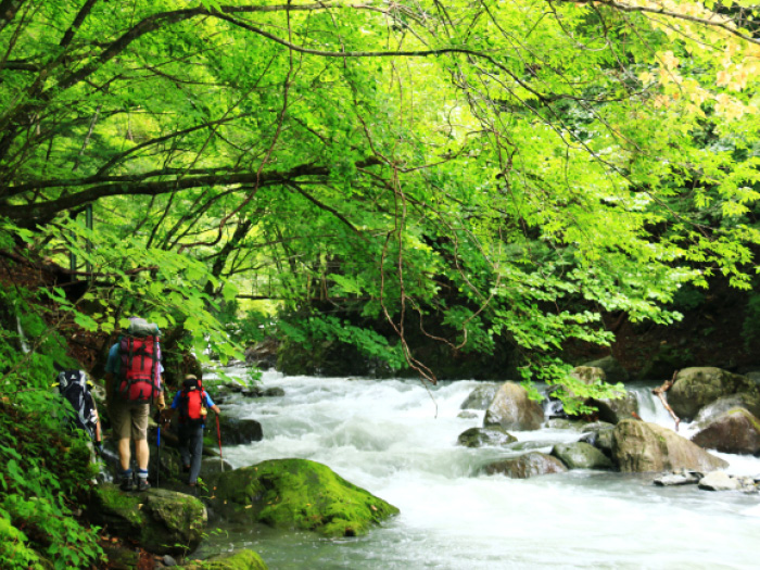
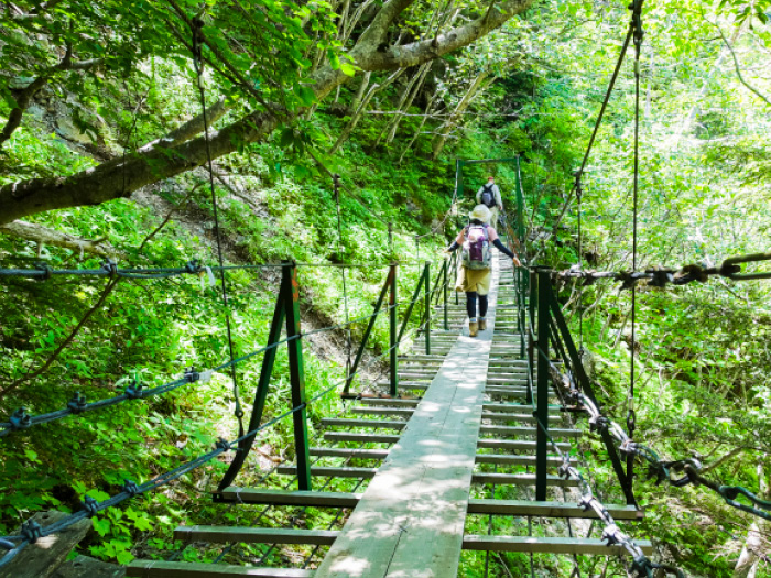
There will be a walk on a logging road from Hata-nagi- Daiichi dam to Chausu-dake trailhead, where Hata-nagi O-Tsuri bridge locates. The length of the bridge is 181 m. It is said that this is the longest Tsuri-hanging bridge in the East. The bridge sits high from the ground. The height might be the most scared you will be out of most of the entire route. It is a well built and stable bridge so there is no point in being worried about crossing. The trail starts from the end point of the bridge. Up to Usokko-sawa, there are ladders and small bridges along the trail. You might get lost counting if you start counting from the beginning. It might be a boring walk through the forest zone. After passing Usokko-sawa koya Mountain hut, the trail suddenly becomes steep. The view becomes clearer after passing Yokokubo-sawa koya Mountain hut. The trail comes to a small plateau where a bench is located. You can enjoy a view of the mountains in the Daimu-gen area, the most southern point of the Southern Japan Alps. Take a break here and enjoy the view. A flower field spreads after passing Kanbadan Chausu-koya Mountain hut is surrounded by flower fields. You will reach the Chausu-koya Mountain hut descending point after a short uphill from the hut. The trail merges onto a ridgeline to Mt. Hijiri-dake. Turn left at the point and Mt. Chausu-dake is reached in about 30 minutes. The summit is rocky. The view of Mt. Fuji-yama is impressive.
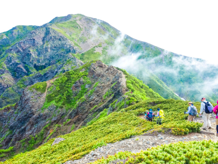
From Mt. Chausu-dake, proceed towards the north on the ridgeline to Mt. Hijiri-dake. Go straight at the Chausu-koya Mountain hut descending point. It is a beautiful ridgeline, even though some parts of the trail are graveled. Alpine plants can be spotted here and there. Mt. Kamikouchi-dake is reached about 20 minutes from the shoulder. The 360 degree view is phenomenal. When you go back to the ridgeline, proceed towards the north through flower fields. The trail takes a wide left turn. It becomes a graveled trail so caution must be employed. Mt. Hijiri-dake, a powerful and dynamic mountain, appears in your direction. Follow a road sign to Hijiri-daira koya Mountain hut and check in at the hut. If time allows, you can take a round trip to Mt. Hijiri-dake.
A powerful view of the Akaishi Mountains from the summit of Mt. Hijiri-dake will remain in your memory for a long time. Enjoy the 360 degree view as long as possible. If time allows, you can hike to Mt. Oku-hijiri-dake. Descend on the same route used for ascending. You must be physically tired by this point so stay focused on the trail.