Cho-gatake Route
②Mitsumata trailhead parking lot ~ Mameuchi-daira ~ Mt. Cho-gatake/Cho-gatake hut ~ Choyari ~ Mt. Jonen-dake ~ Mt. Mae-jonen-dake ~ Mitsumata trailhead parking lot
Technical level: B
Physical strength level: 6
Difficulty level: ⛰️⛰️⛰️
Enjoy Mt. Jonen-dake for one night and two days. Compared to an Ichino-sawa route, a ridgeline walk from Mt. Cho-gatake is longer with a great view on sunny days.
●Hiking Data
Schedule: One night two days
Walking hours: 15 hours 15 minutes
(Up: 9 hours 25 minutes/ Down : 5 hours 50 minutes)
Walking distance: 16.0 km
Difference in elevation: 2,124 m
Mitsumata trailhead parkling lot

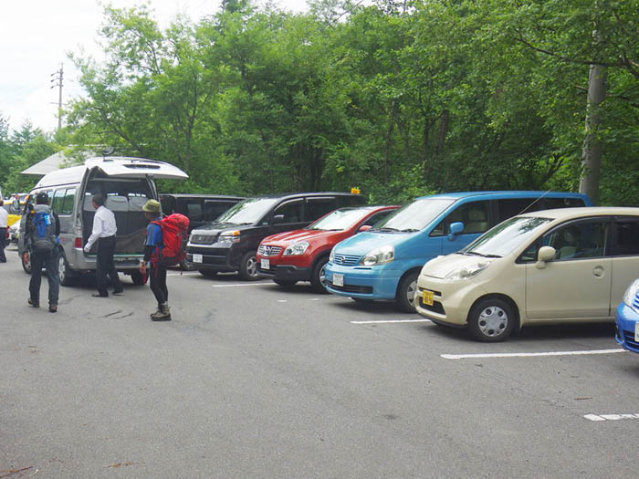
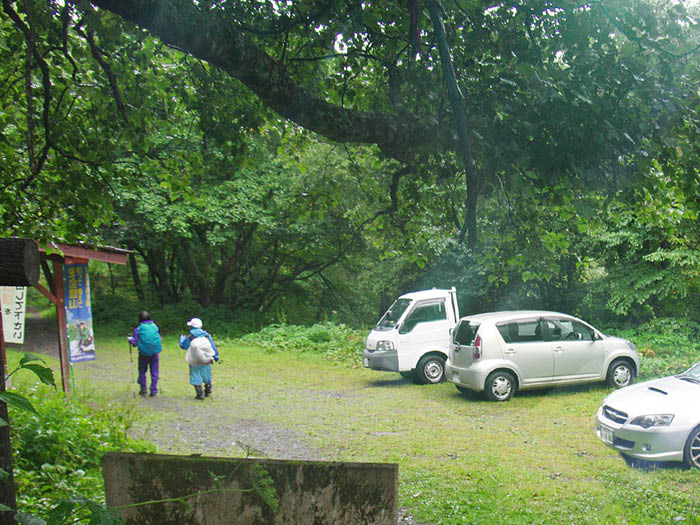
Elevation 1,350m
↓ 2hours 20 minutes
Mameuchi-daira
Elevation 1,916m
↓ 2hours 40 minutes
Mt. Cho-gatake/Cho-gatake hut
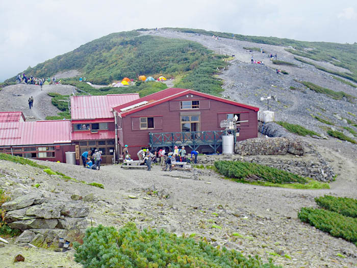
Elevation 2,677m
↓ 55 minutes
Choyari
Elevation 2,665m
↓ 3hours 30 minutes
Mt. Jonen-dake
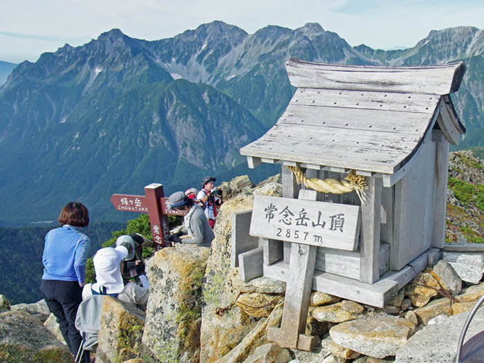
Elevation 2,857m
↓ 1hour
Mt. Mae-jonen-dake
Elevation 2,661m
↓ 4 hours 50 minutes
Mitsumata trailhead parking lot
Elevation 1,350m

Route Guide
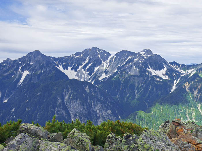
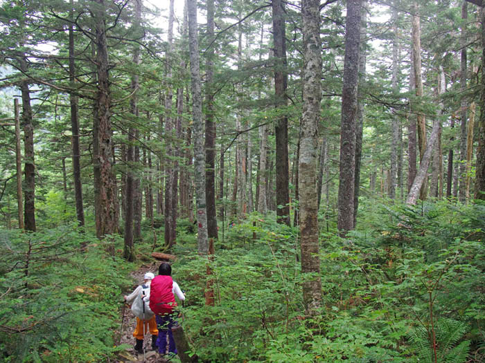
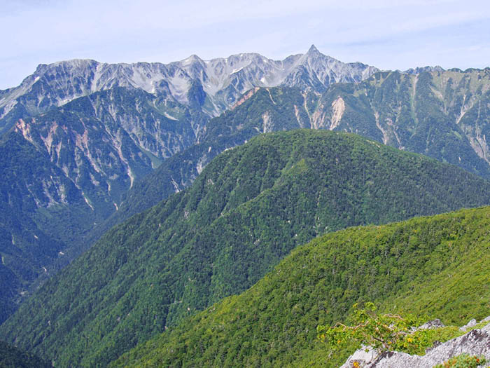
Drive yourself or take a taxi from Toyoshina station of O-ito line to the Mitsumata trailhead parking lot. Pass the gate of the parking lot and start on the trail. Mitsumata trailhead meets with the descending trail from Mt. Mae-jonen-dake. Go straight here. The trail becomes slightly steeper. The trail begins to veer away from the stream and merges into a ridgeline. Coordinate your breathing with your walking tempo. The slope becomes less steep at Mameuchi-daira but becomes a steep slope soon and the trail continues through a coniferous forest. The trail continues to be steep so take a 5 minute break or so as needed. When the trail gets on to the ridgeline, Cho-gatake hut appears in your direction beyond the summit of Mt. Cho-gatake. From this spot, the view becomes clear and a fun ridgeline walk begins. It is recommended you stay at Cho-gatake hut for a night and enjoy the view of the Northern Alps mountains at sunset.
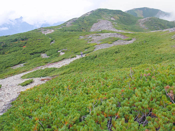
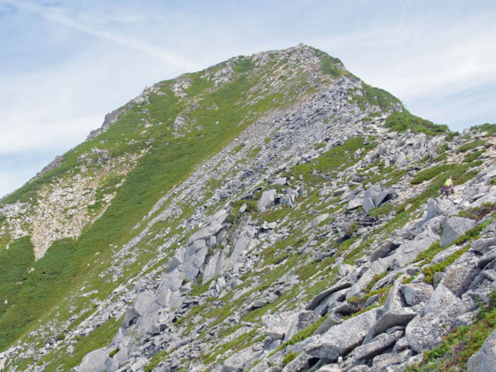
Start early on the next day. After passing a peak of 2,644 m, proceed towards the west of Cho-yari. The trail will be covered by Alpine plants. There are some ups and downs. The trail is a mixture of gravel and rocks. The main ridgeline of the Northern Japan Alps can be admired while walking, which is a reward for climbing the steep slope to Mt. Cho-gatake. Stop to enjoy the moment!
Pass a peak of 2,512 m. Beyond this point, the trail becomes steeper. Be careful walking on loose rocks. The summit of Mt. Jonen-dake is reached at the end of the uphill. Rocks are piled up at the narrow summit. A small shrine stands at the summit. The view is phenomenal. The view of Mt. Yari-gatake and the Hodaka Mountains spreads out right in front of you. If you look carefully, Kiaku-shindo, where Nishi-dake hut stands, can be seen.
Fully appreciate the view then descend to Mitsumata trailhead via Mt. Mae-jonen-dake. The trail is steep so take a break often before you feel tired. The trail goes through Pinus Pumila zones and rocky zones. On the way, the trail to Jonen-koya Mountain hut, which is no longer there, will be found. Do not enter this trail because it’s been a while since it was used last.
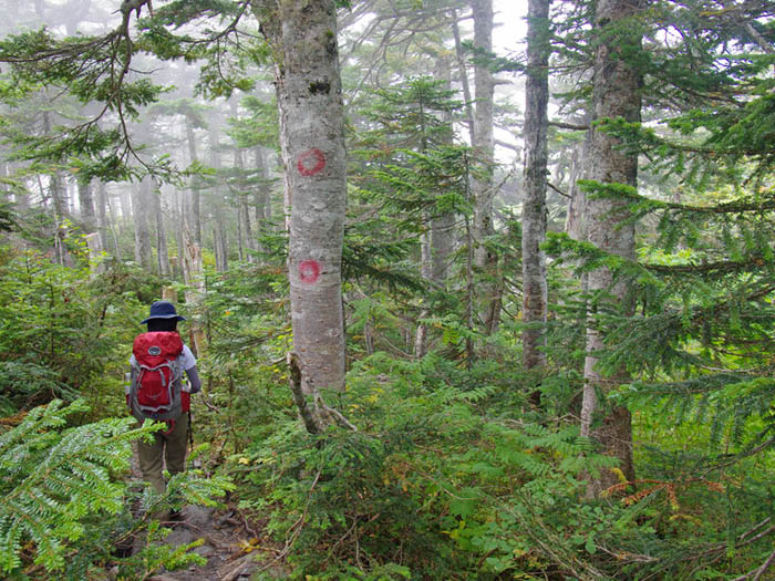
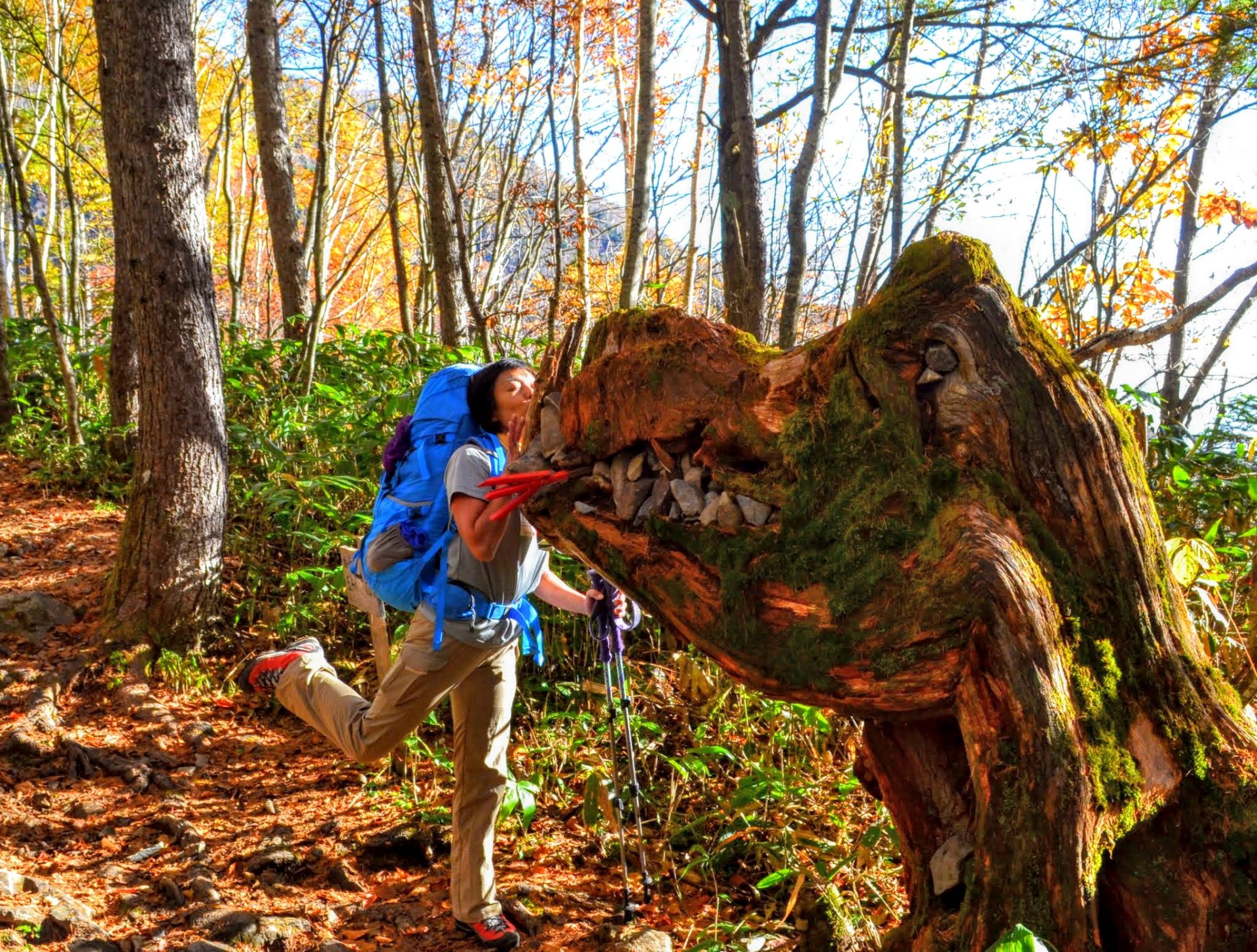
Mt. Mae-jonen-dake is reached in an hour. The first-order triangulation point is set at the summit. It is a wild summit with rocks piled up. A rock chamber sits below the summit. You can take a break there. From the summit of Mt.Mae-jonen-dake, descend a slope with big rocks. Be careful hiking down on the graveled trail. Follow the marked stones. After passing a steel ladders, the trail enters a forest zone. This is a long walk through a deep forest. Mitsumata trailhead is close by, after passing the junction of a detour route used when the river water level is high.