Oritate – Taro-daira Route
①Oritate ~ Triangulation bench ~ Gokouiwa Bench ~ Tarou-daira-koya Mountain hut ~ Yakushi pass ~ Yakushi-dake sanso Mountain hut ~ Mt. Yakushi-dake ~ Tarou-daira koya Mountain hut ~ Oritate
Technical level: B
Physical strength level: 5
Difficulty level: ⛰️⛰️
Start from the trailhead where the biggest numbers of hikers gather
Do not force your way past others even if it is crowded.
●Hiking Data
Schedule: One night two days
Waling hours: 13 hours 40 minutes
(Up: 8 hours 10 minutes/Down: 5 hours 30minutes)
Walking Distance: 20.0 km
Difference in elevation: 1,701 m
Oritate


Elevation 1,350m
↓ 2 hours
Triangulation point bench
Elevation 1,869m
↓ 1hour 30 minutes
Gokouiwa Bench
Elevation 2,196m
↓ 1hour 30 minutes
Tarou-daira-koya Mountain hut
Elevation 2,330m
↓ 2 hours 10 minutes
Yakushi-dake sanso Mountain hut
Elevation 2,701m
↓ 1 hour
Mt. Yakushi-dake
Elevation 2,926m
↓ 2 hours 20 minutes
Taro-daira koya Mountain hut
Elevation 2,330m
↓ 2 hours
Triangulation point bench
Elevation 1,869m
↓ 1 hour 10 minutes
Oritate
Elevation 1,350m

Route Guide
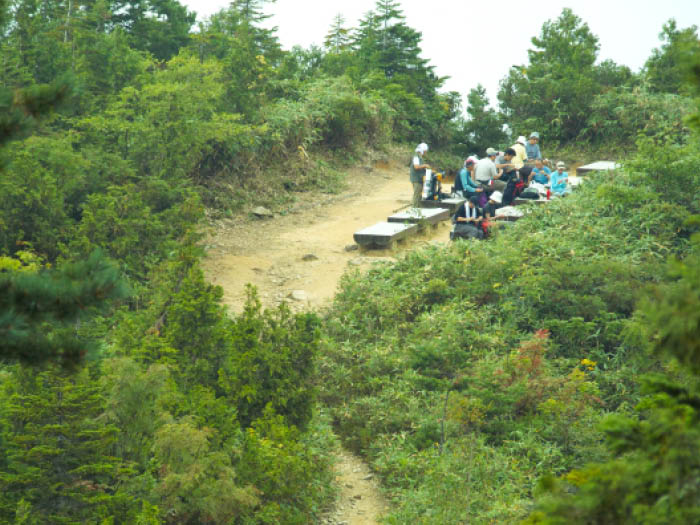
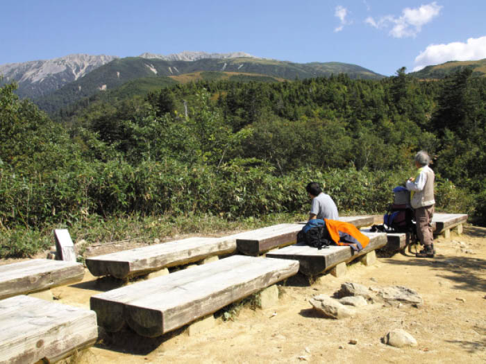
There is a resting area at Oritate trailhead. Make adequate preparation here.Do not forget to replenish your water supply at the trailhead. A monument stands on the left side. The monument was erected to comfort the spirits of the thirteen college students of Aichi University Mountain Climbing Club who lost their lives while hiking to Mt.Yakushi-dake on January 1963. It is said that this incident contributed to the acceleration of the spread of special training on mountain climbing under challenging conditions among universities’ mountain climbing clubs. To this day, there have been many hikers who visit to pay their respects to the monument. Pray if time allows at the monument. The trail proceeds through a forest zone.It is a steep slope but you might not find it too hard because the trail ascends in a zigzag pattern. The trees change from Shirabiso and Thuja to Rowan trees and maples. When the trees get lower in height, Traiangulation bench is reached. The view becomes wider here. Mt.Yakushi- dake is standing right in front of you. Take a short break here.
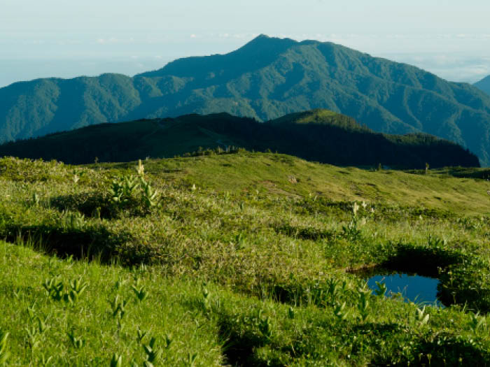
After the bench, the trail enters both a forest zone and a meadow zone. The trail becomes covered by Pinus Pumila and Chishima-zasa when it reaches the plateau. Arimine Lake can be spotted when looking back. On your left, Amiga-hara and Mt. Tsurugi-dake can be seen. Alpine plants such as Nikkou-kisuge, Avens, Narthecium, or Iwasyoubu may be in bloom. Follow the well-maintained trail to Taro-daira- koya Mountain hut. It takes about 2 hours 10 minutes to Yakushi-dake-sanso Mountain hut. If you are planning on one night and two days, you have to hurry. If it took 5 hours to the Taro-daira-koya Mountain hut and it is already after 1 pm, you should stay at Taro- daira-koya Mountain hut. Bear in mind that a chance of lightning increases in the afternoon. It is a basic rule to check in at the hut early in the afternoon.
If you stay at Taro-daira-koya Mountain hut on a one night two days schedule, you must start very early on the next day. Head to Yakushi pass, which is about 20 minutes away. The pass is reached at the end of a gradual downhill. There is a camping site here. Many hikers enjoy a short summer here. Ascend the trail along the stream about 40 minutes, then Yakushi-da-ra is reached. Sometimes, a snowy valley remains. It is very dangerous to traverse it so do not enter. The trail to the summit of Mt. Yakushi-dake is covered by grass. Yakushi-dake-sanso Mountain hut appears in your direction when the trail becomes graveled.
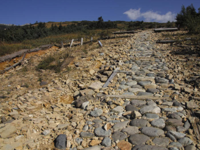
From Yakushi-dake-sanso Mountain hut, the trail grows wide and is covered with rubble. A broken building comes in sight. It is an old emergency shelter. The summit is reached at the end of this uphill. Yakushi-nyorai statue is enshrined. The summit is well known for a strong wind from the Japan sea. It is a great view. Descend the trail used for ascending carefully.