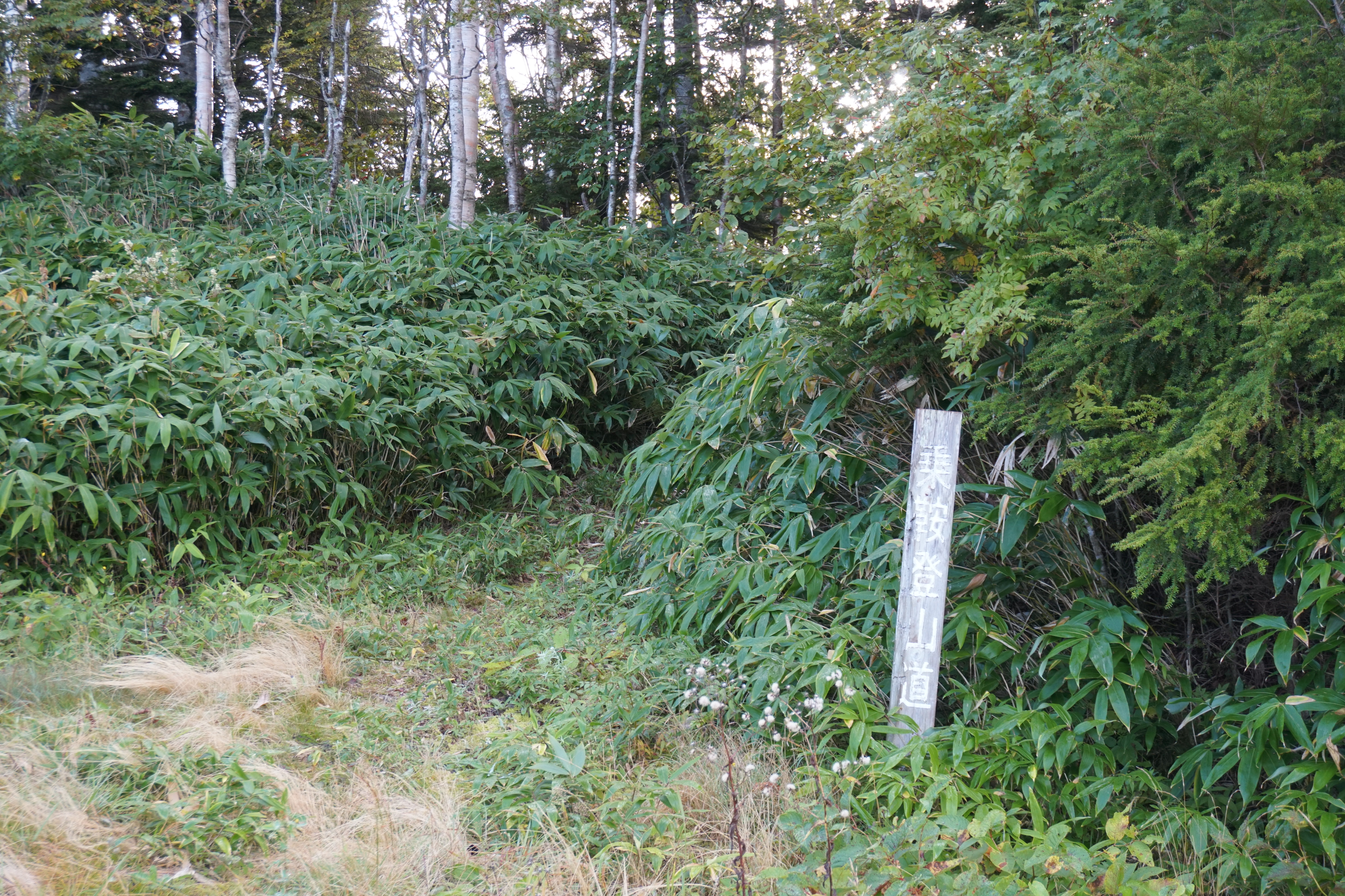
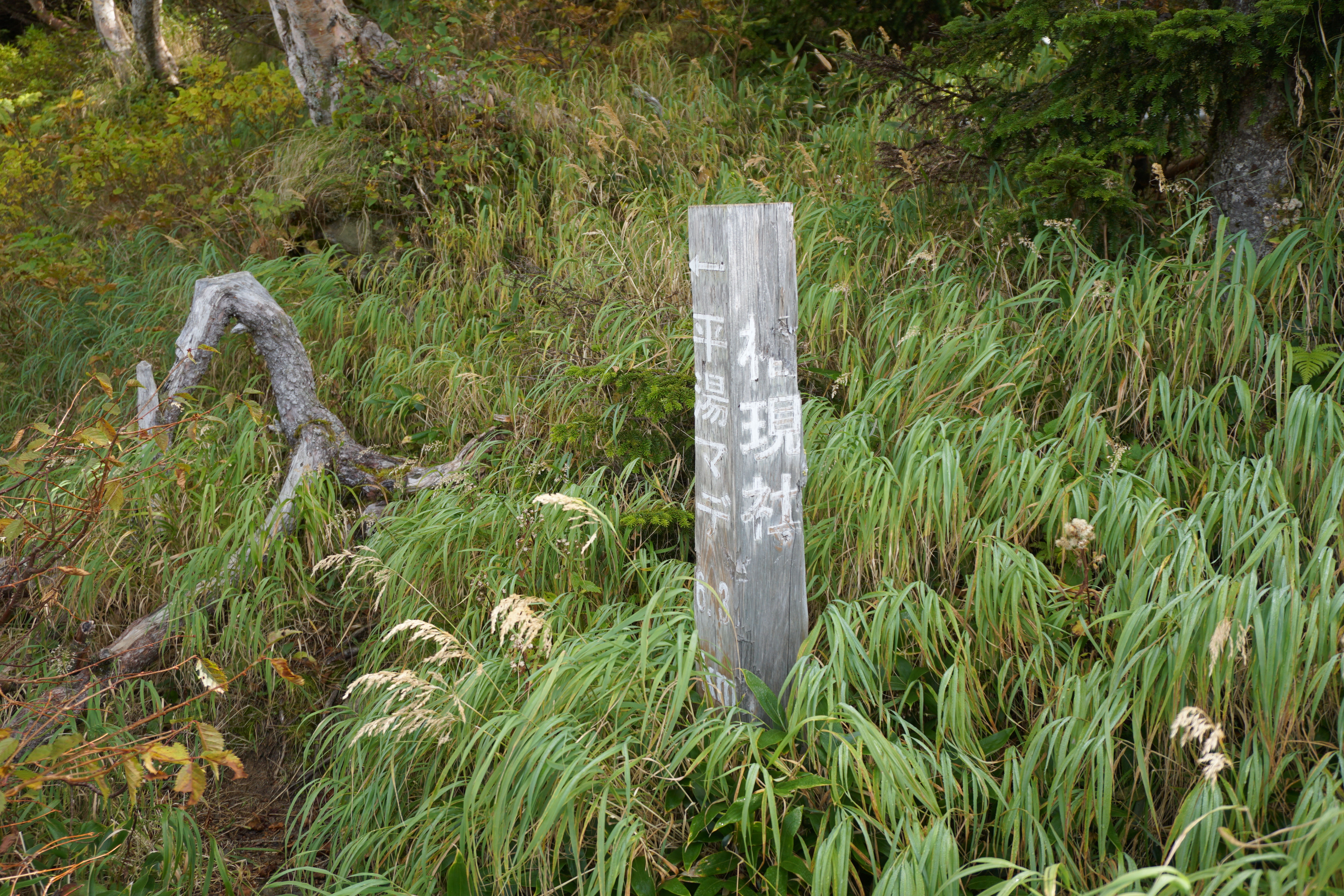
Hirayu Onsen route
③Hirayu Onsen Hot Spring ~ The highest spot at Ski resort ~ Norikura-gengen-sha ~ Mt. Iou-dake ~ Hirayu/Mt. Jukkoku-yama Trailhead ~ Mt. Daikoku-dake ~ Kata-no-koya Mountain Hut ~ Kenga-mine ~ Norikura-tatami-daira
Technical level: C
Physical strength: 5
Difficulty: ★★★
The route, climbing 1,700 m variance in elevation, for strong hikers
On this route, climbing mountains above 3,000 m altitude can be safely enjoyed even by beginners. Most parts of the climb will be on the ridgeline with great views. However, there are not many hikers on this trail, therefore it is recommended to hike as a group rather than a solo hiking. It is recommended not to descend on the same trail used for ascending but to use a bus from Norikura bus terminal at Tatami-daira.
●Hiking Data
Schedule: One day
Walking hours: 9 hours 15 minutes
Walking distance: 16.46 km
Cumulative elevation difference: 2,994 m
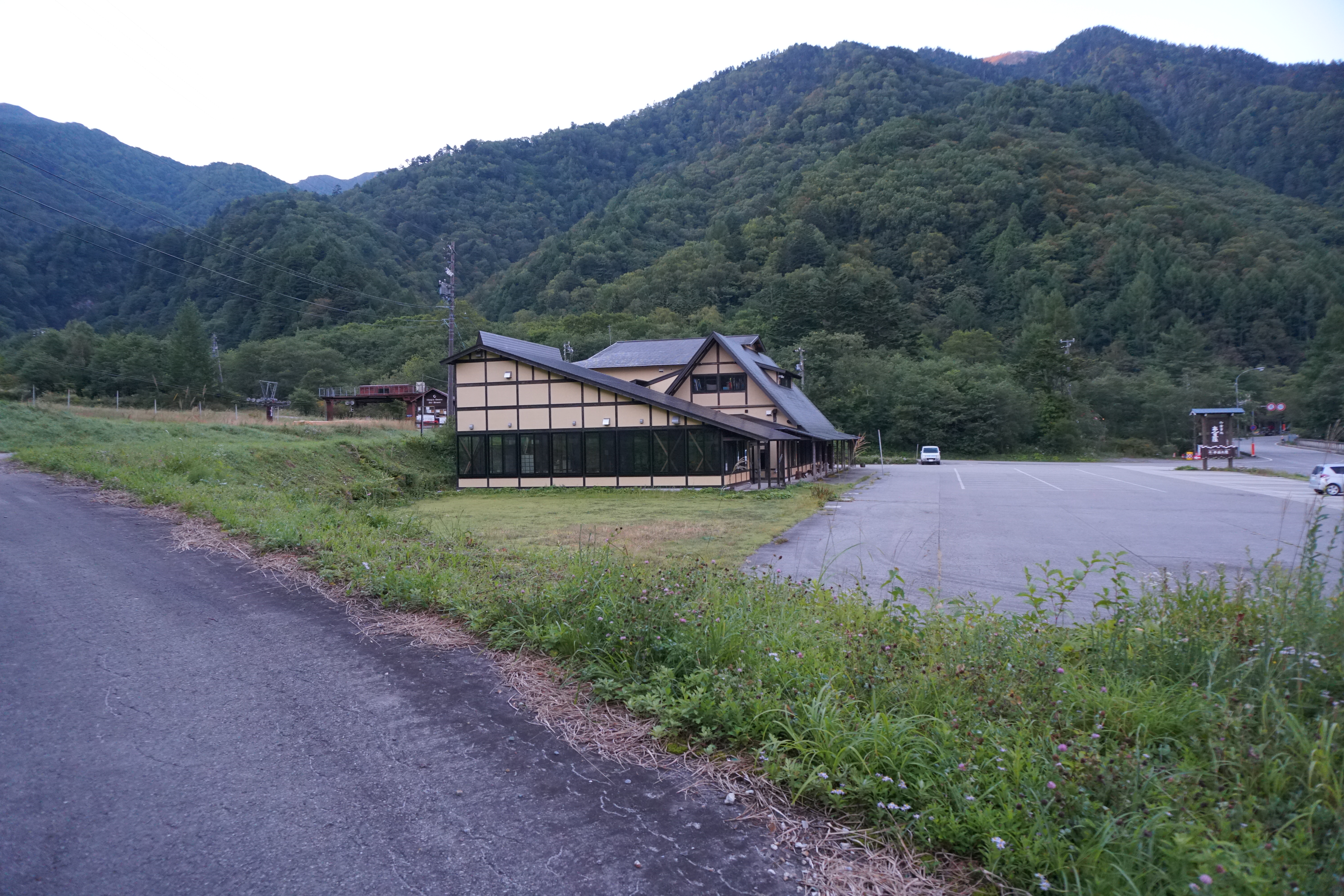
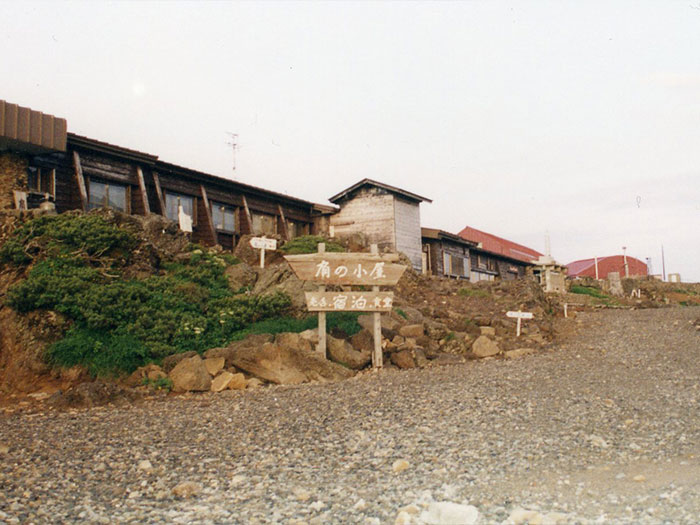
Hirayu Onsen hot spring


Elevation 1,260m
↓ 15 minutes
Ankiya
Elevation 2,230m
↓ 1 hour 40 minutes
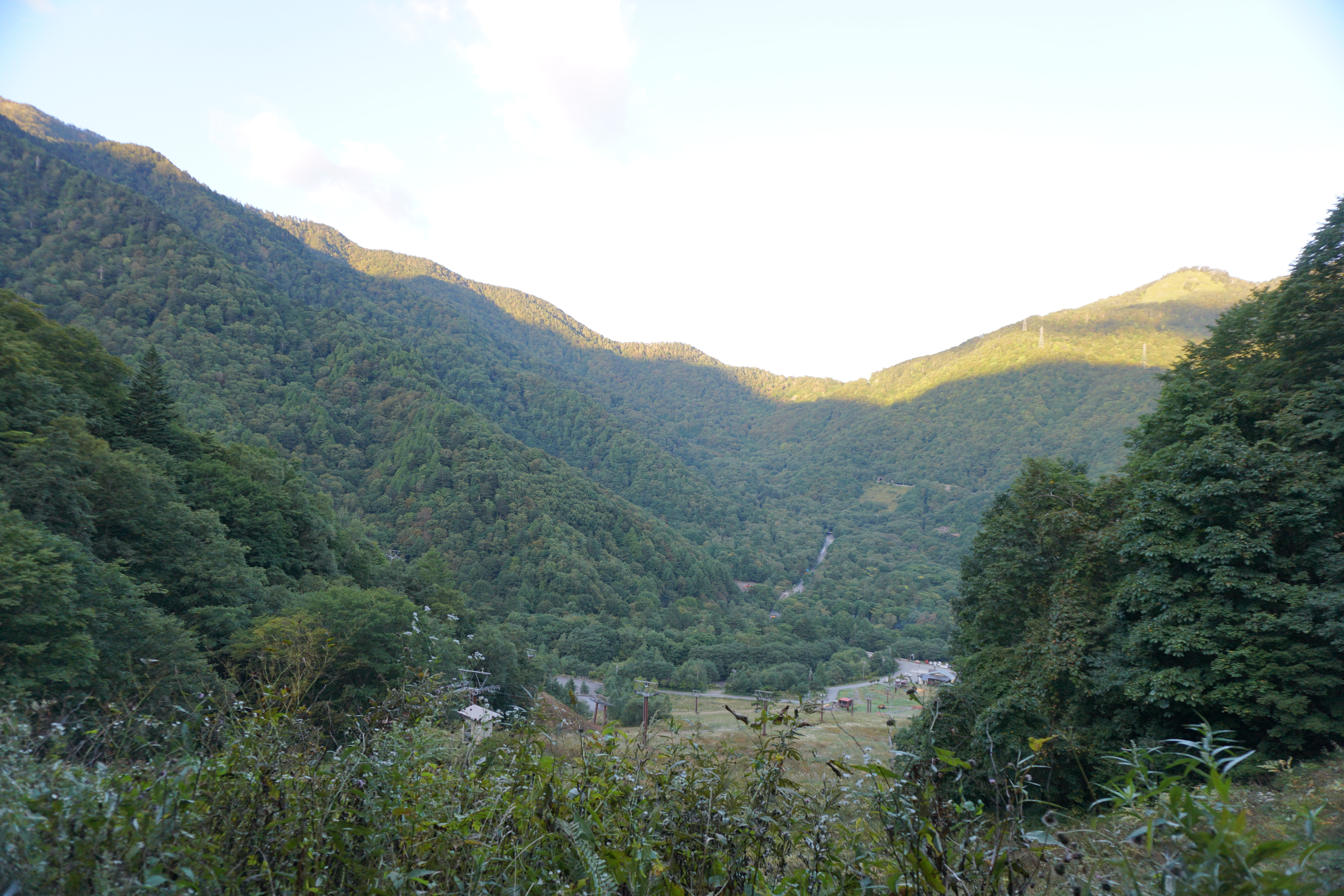
The highest spot at Ski resort


Elevation 2,410m
↓ 2 hours 15 minutes
Norikura-gongen-sha

Elevation 2,554m
↓ 1 hour
Mt. Iou-dake

Elevation 2,800m
↓ 50 minutes
Hirayu/Mt. Jukkoku-yama Trailhead
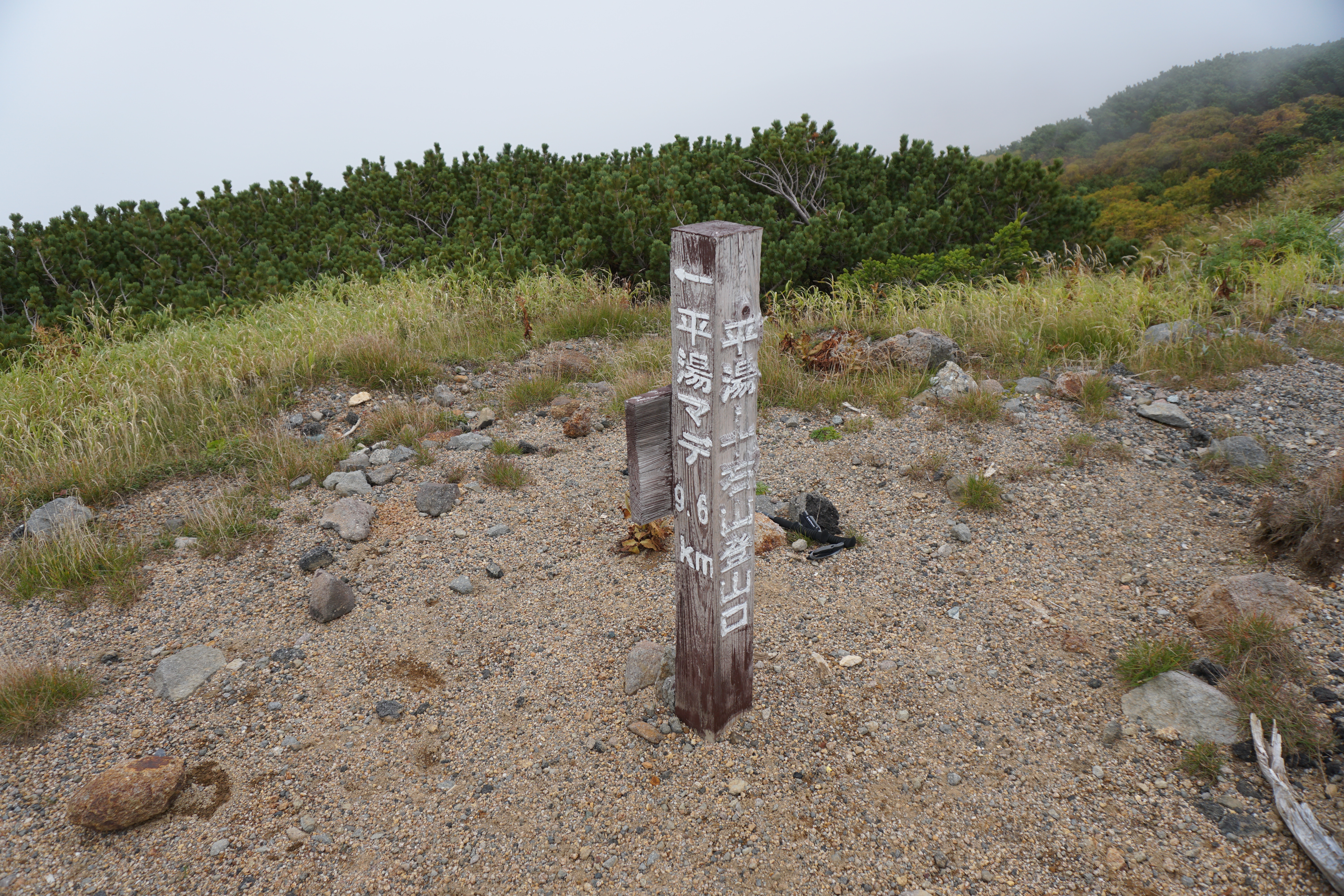

Elevation 2,670m
↓ 35 minutes
Mt. Daikoku-dake
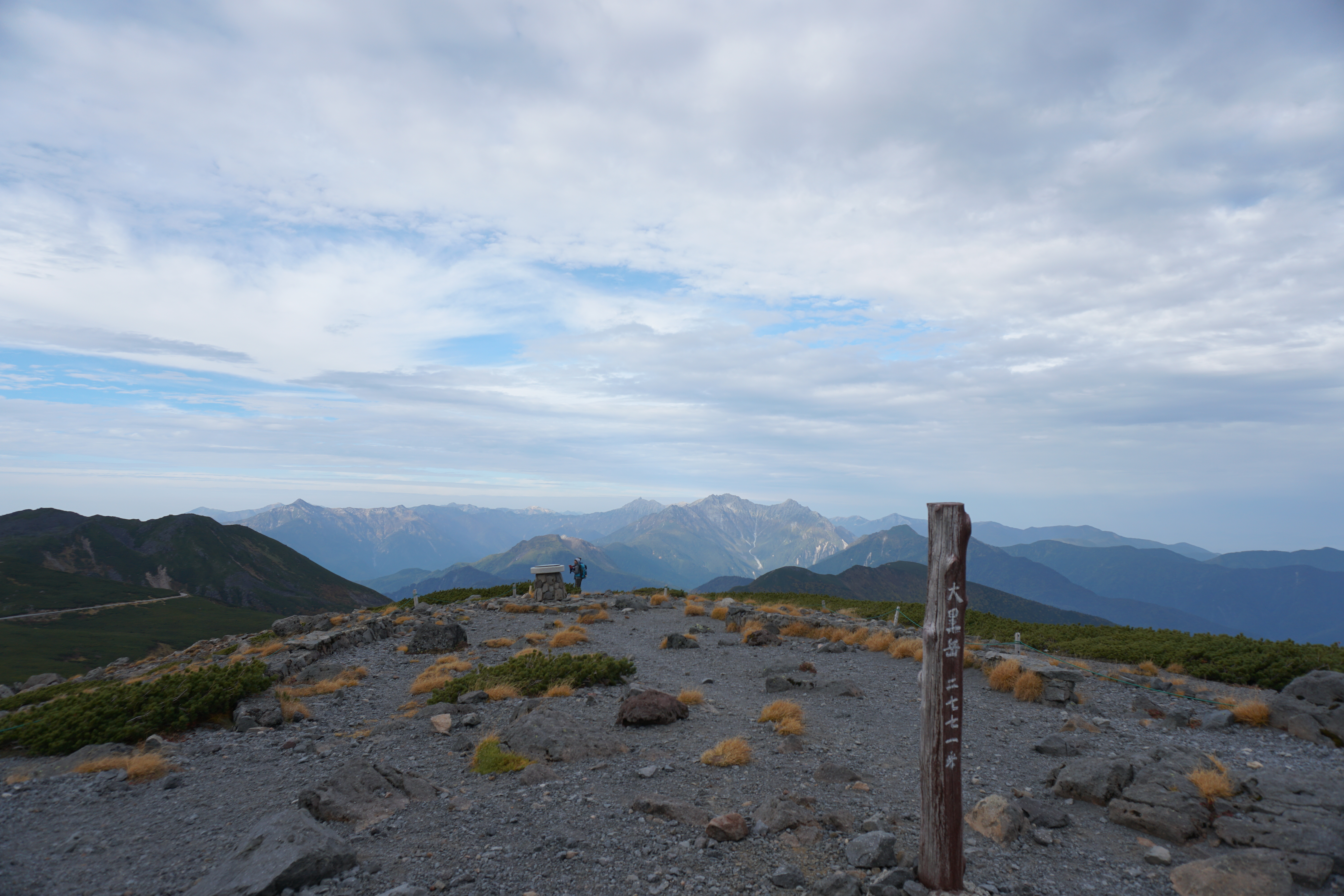
Elevation 2,772m
↓ 35 minutes
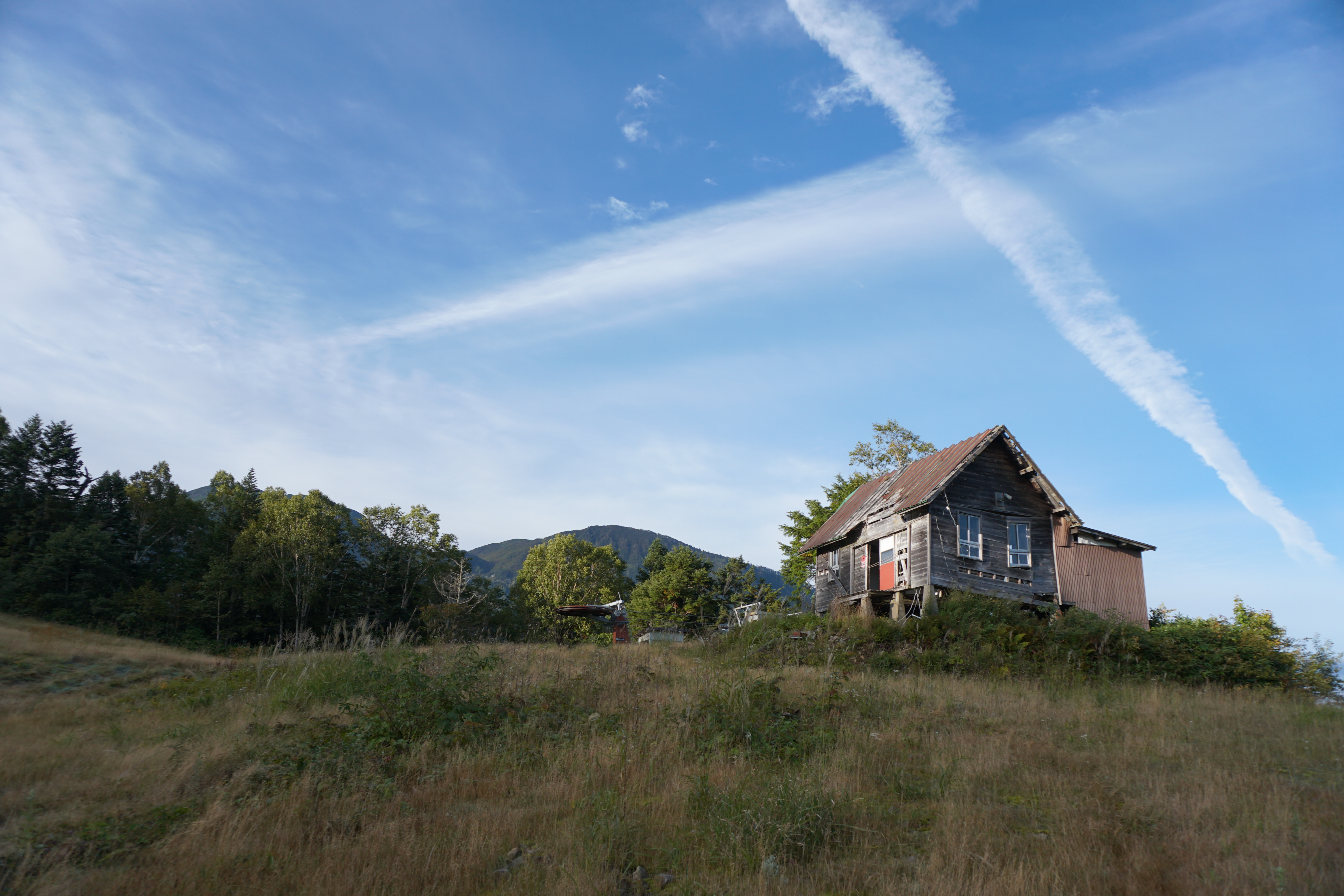
Kata-no-koya Mountain Hut
Elevation 2,800m
↓ 50 minutes
Kenga-mine
Elevation 3,025m
↓ 1 hour 15 minutes
Norikura-tatami-daira
Elevation 2,700m
Route Guide
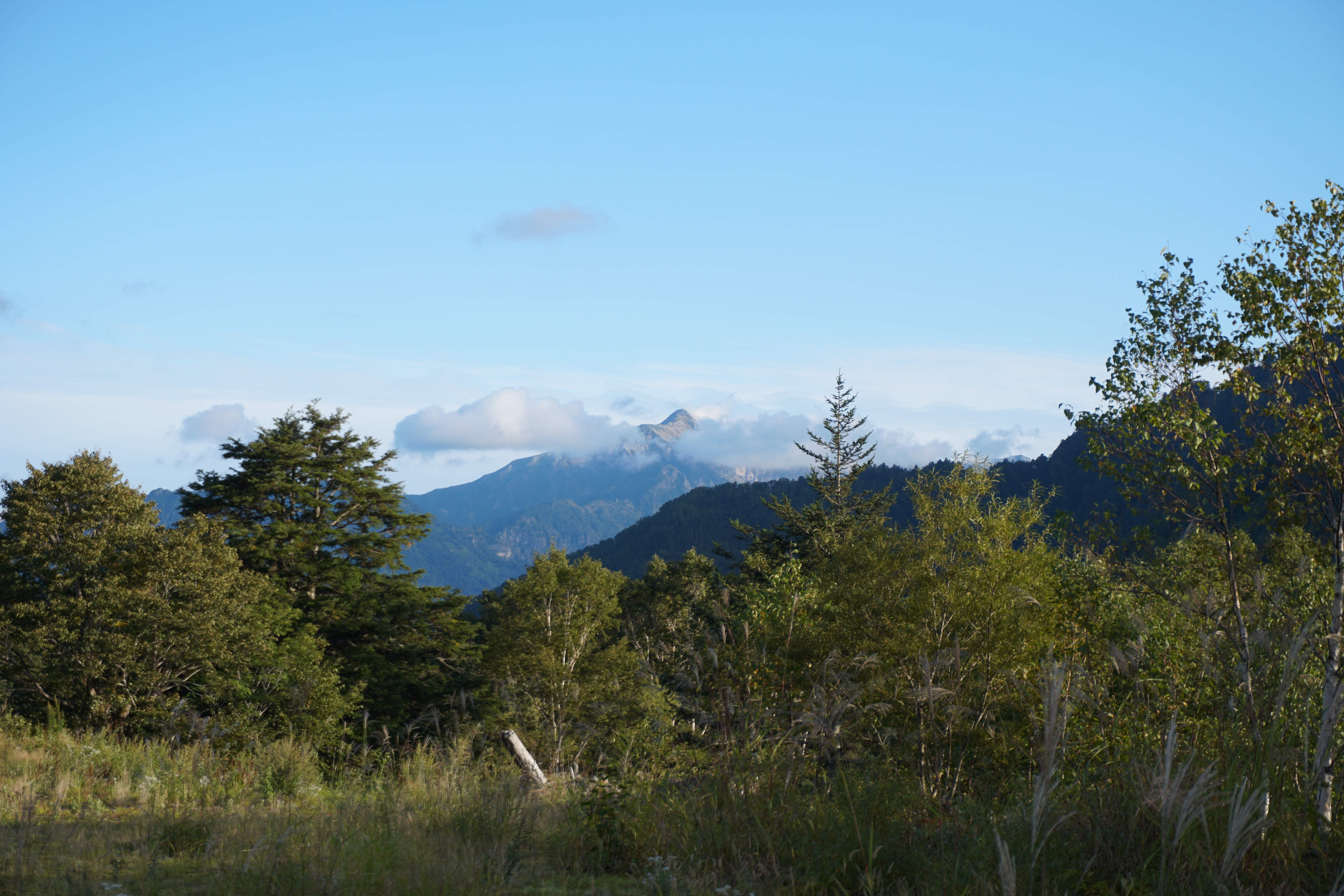
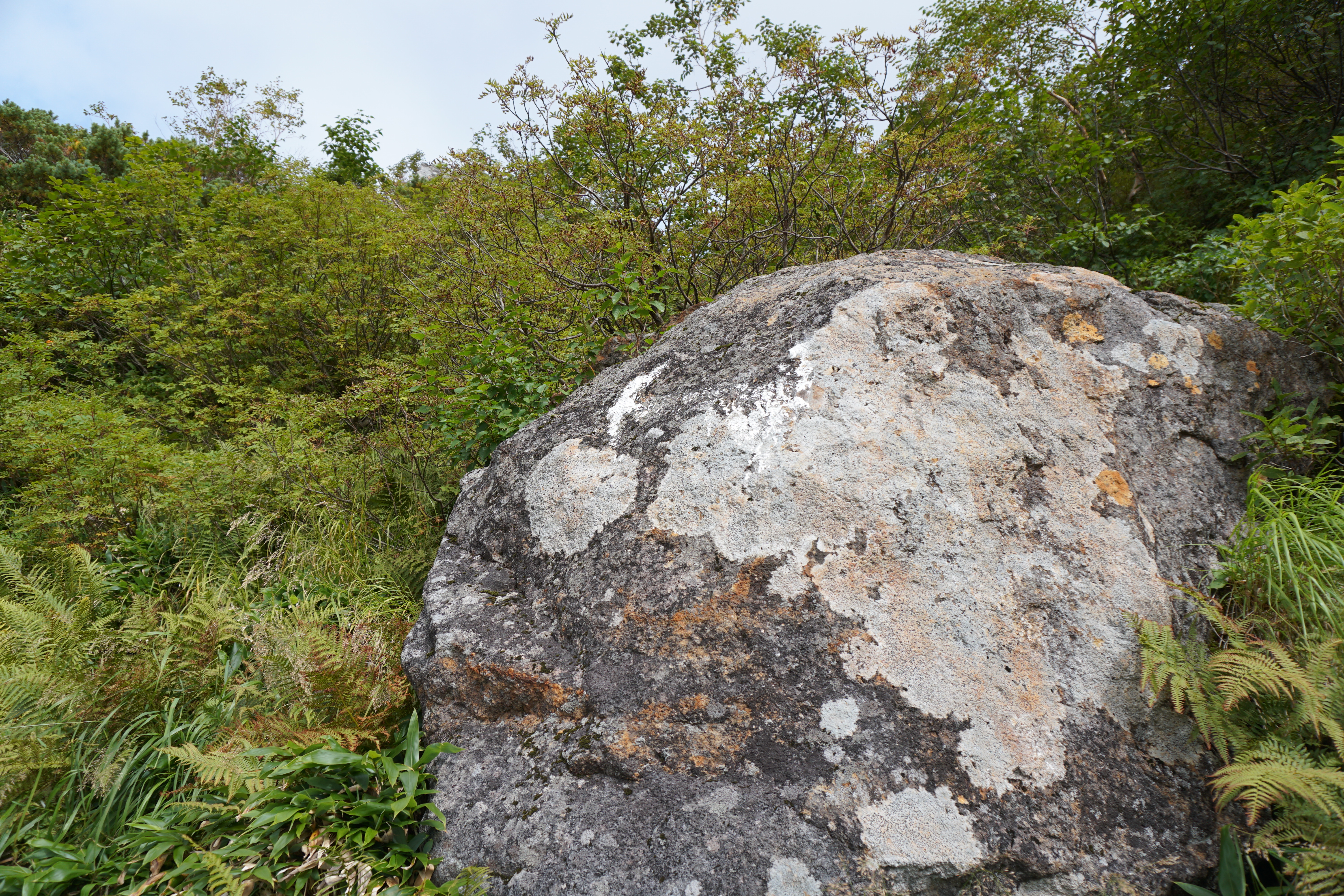
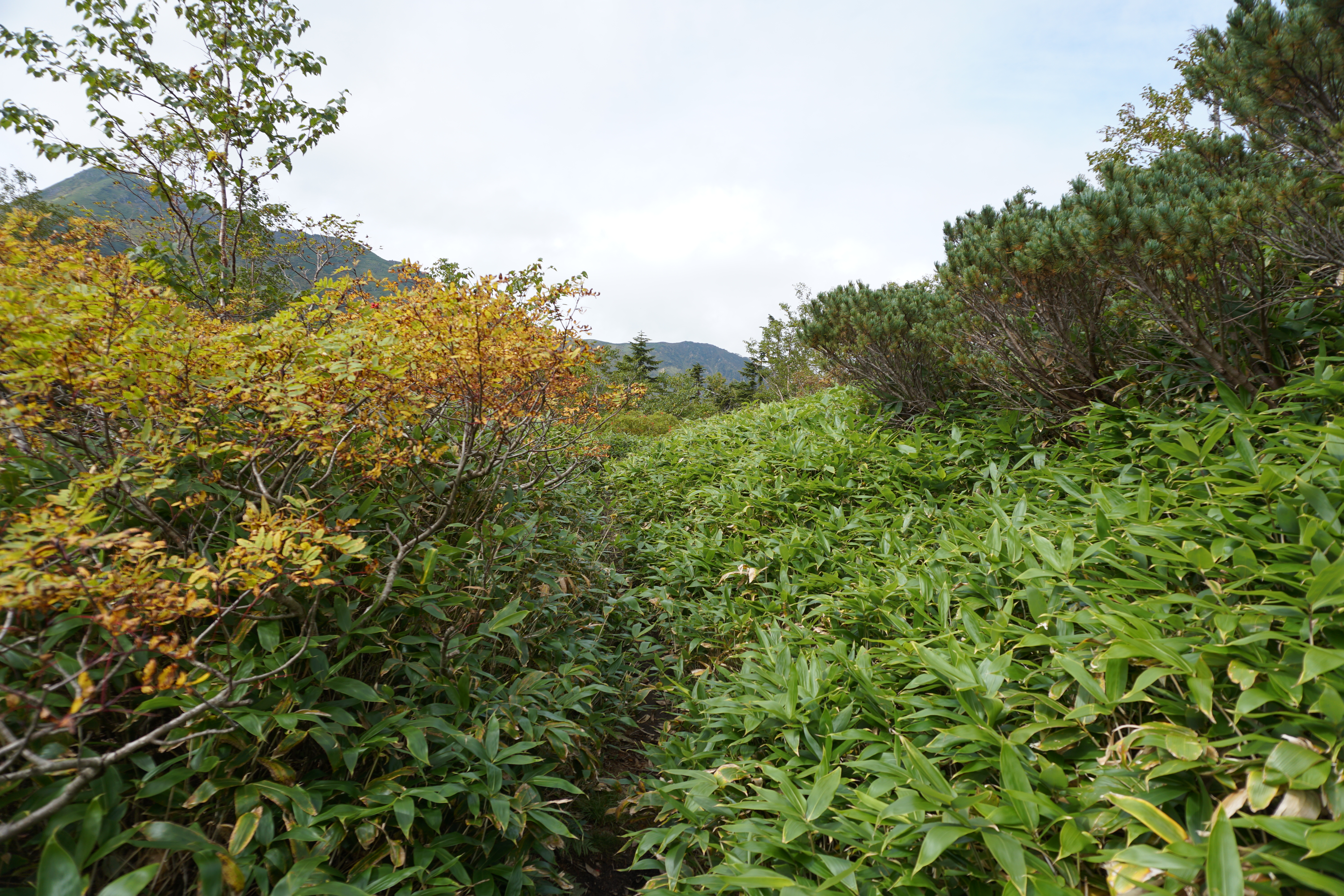
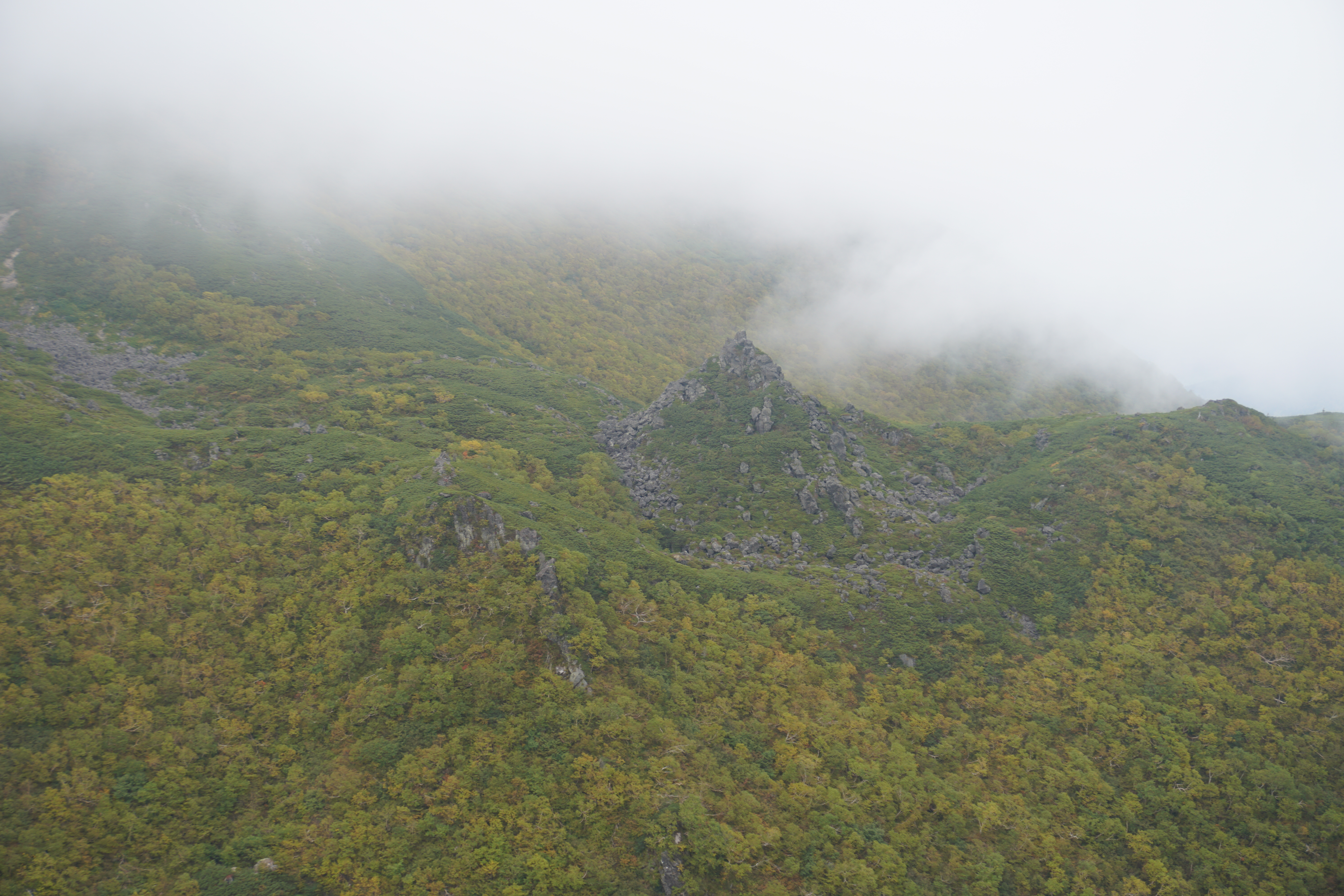
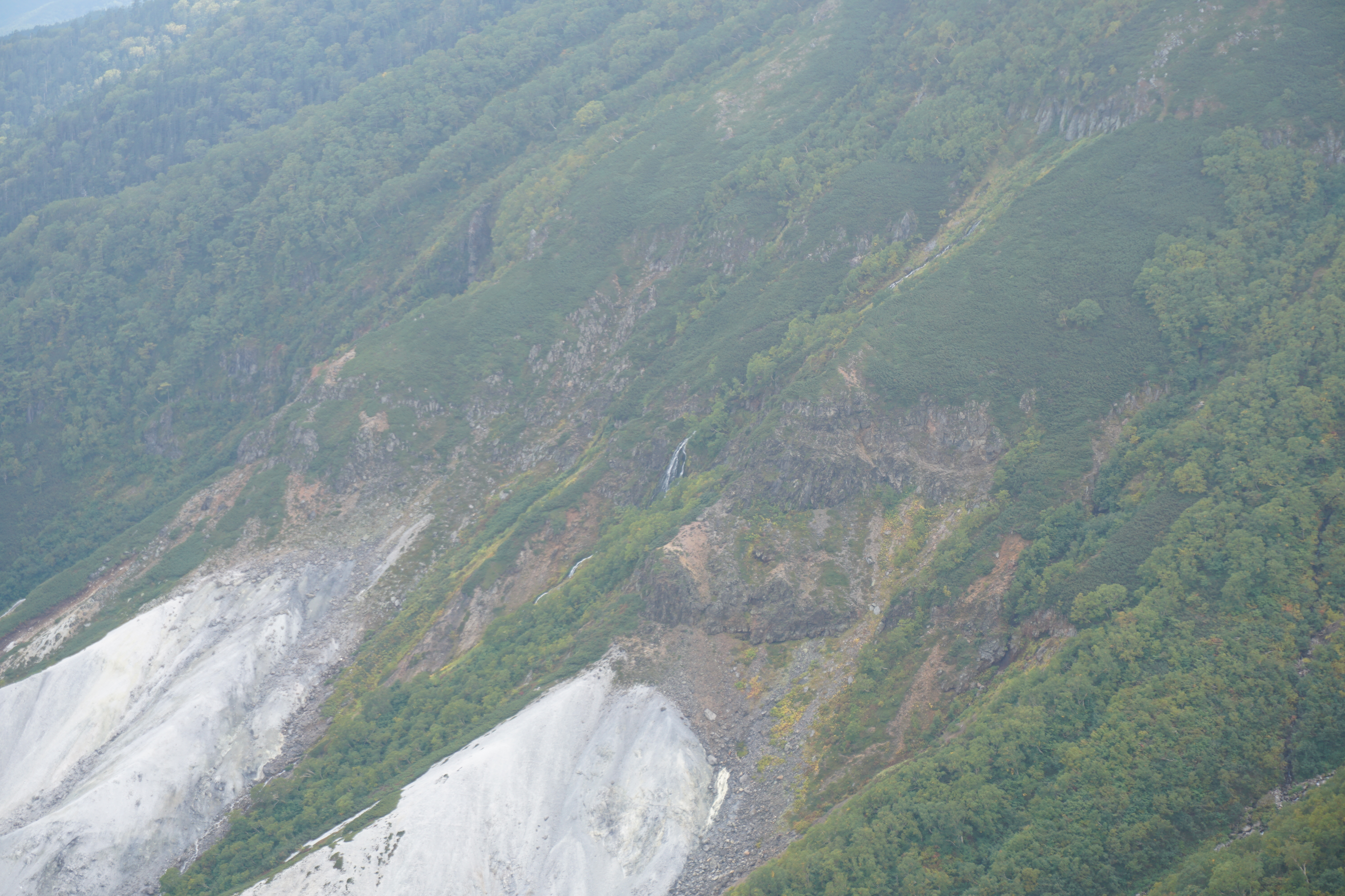
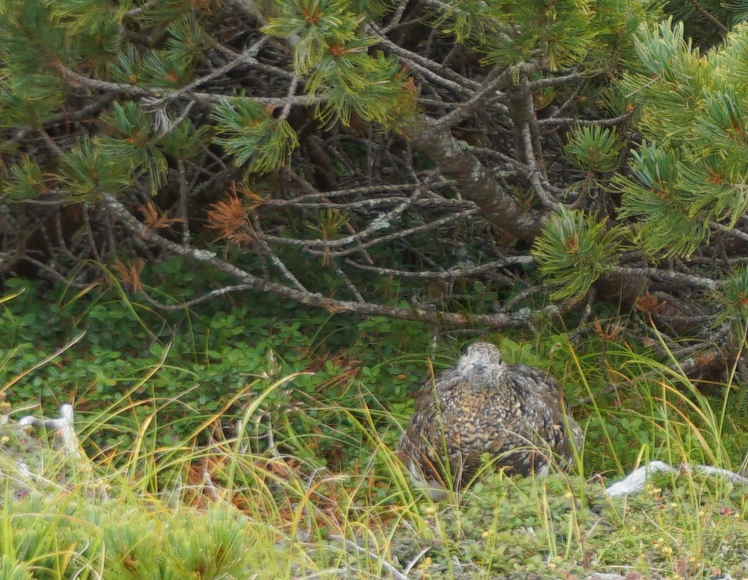
Walk about 15 minutes from Hirayu Onsen hot spring to Hirayu camping site. Proceed through the sheep ranch and ascend the slope. The peak of Hirayu hot spring ski resort is the trailhead. You finally stand at the trailhead! Walk through the forest zone. Through trees, Mt. Yake-dake, Mt. Oku-hodaka-dake, and Mt. Mae-hodaka-dake can be spotted. From there, walk on Hirayu O’ne. The fairly gradual trail continues on. Enjoy the view of Mt. Yake-dake, the Hotaka Mountains, or Mt. Jukkoku-yama while walking. The place to replenish your water supply is located just ahead of the sign “Mizuba 55 m”, however, it dries up during the summer season. It is recommended to prepare your water supply in advance. Just ahead of this place, get on the ridgeline extending southeast. This ridgeline is called “Kanayama O’ne” and the ascending route becomes slightly steeper. Stay focused on the trail to avoid slipping. Norikura-gongen-sha will be reached in about 45 minutes from the place where you topped off your water supply. It is wide with a great view, and it is recommended to take a break here. The ridgeline that you are going to hike can be seen from there.
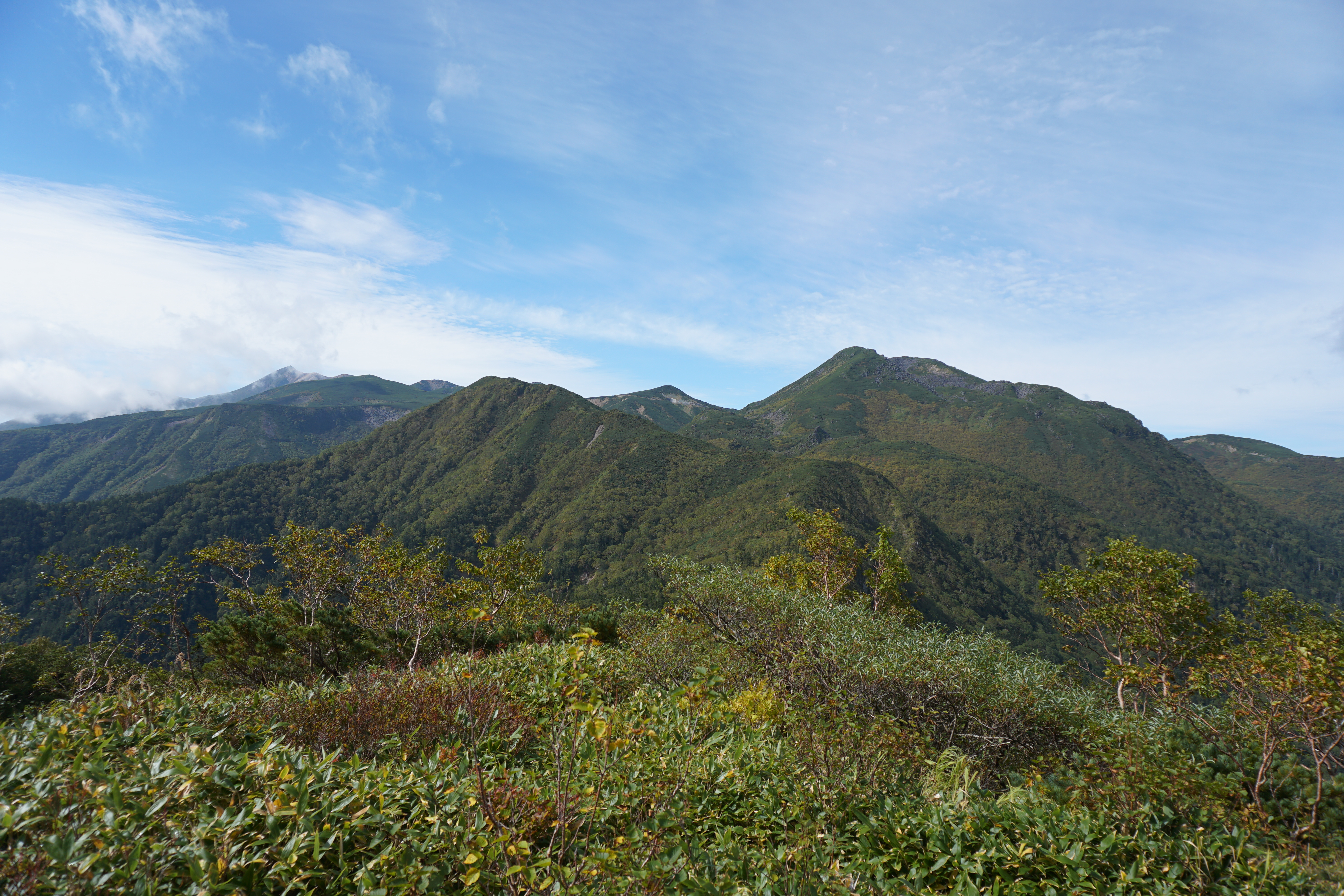
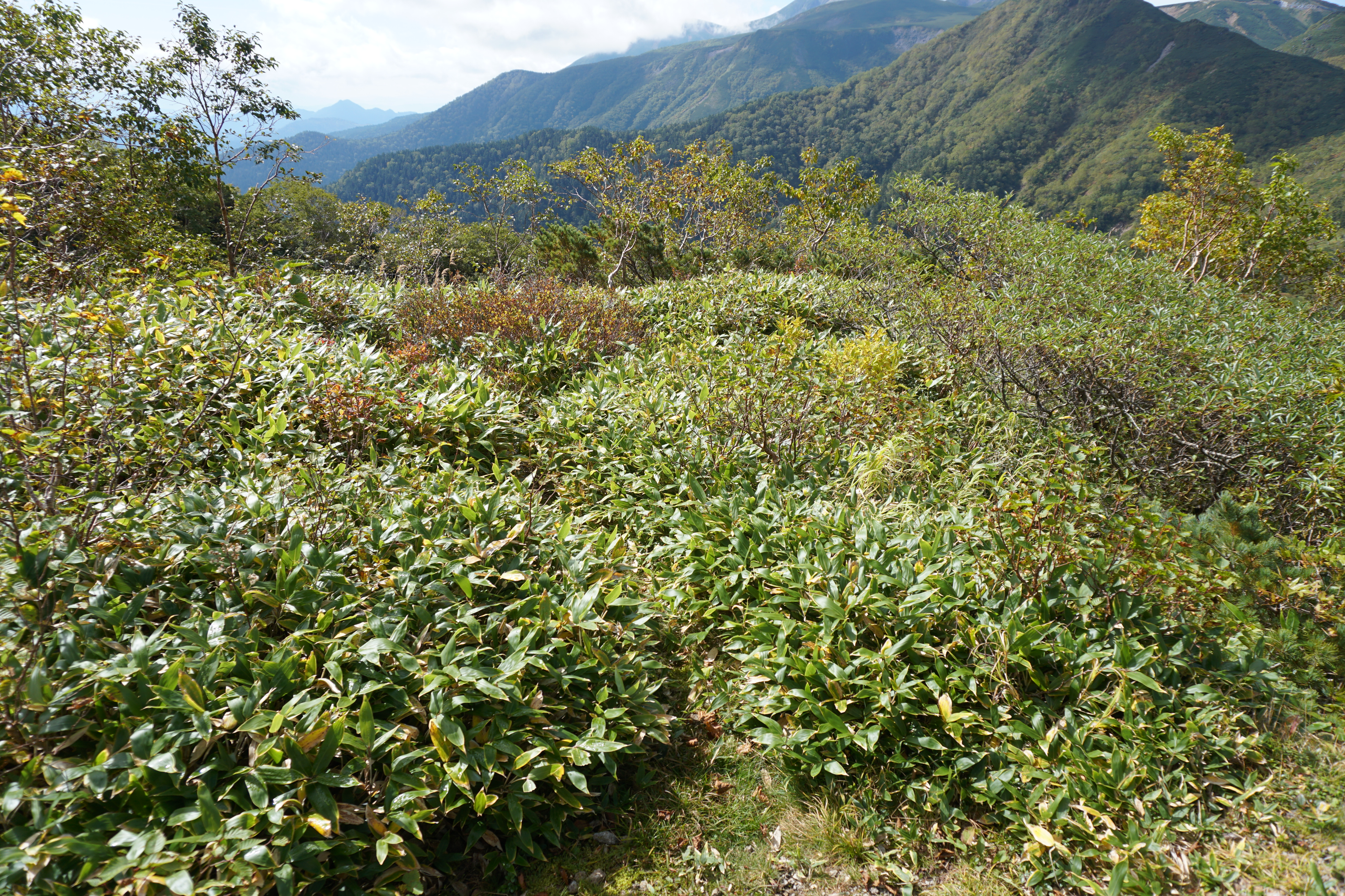
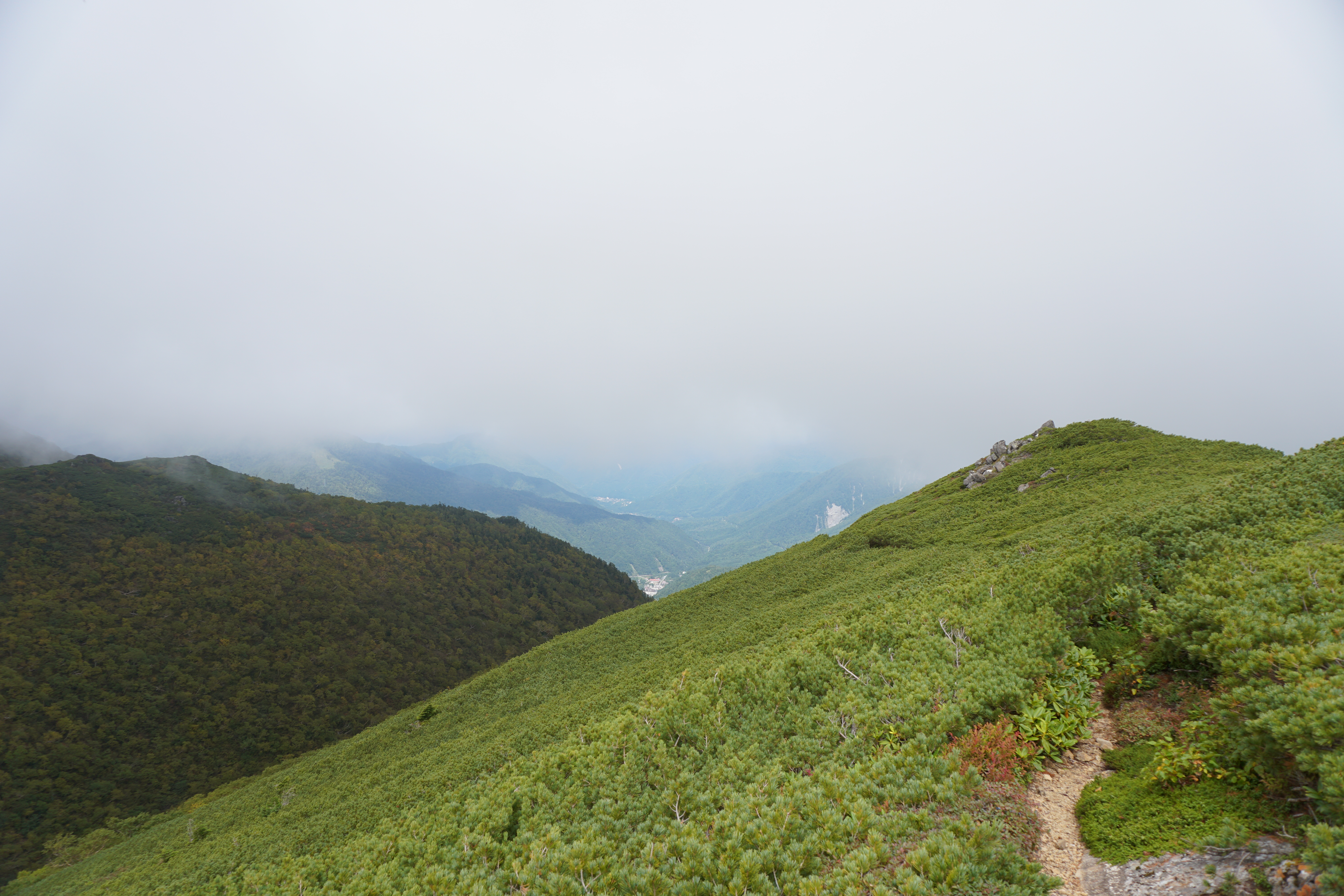
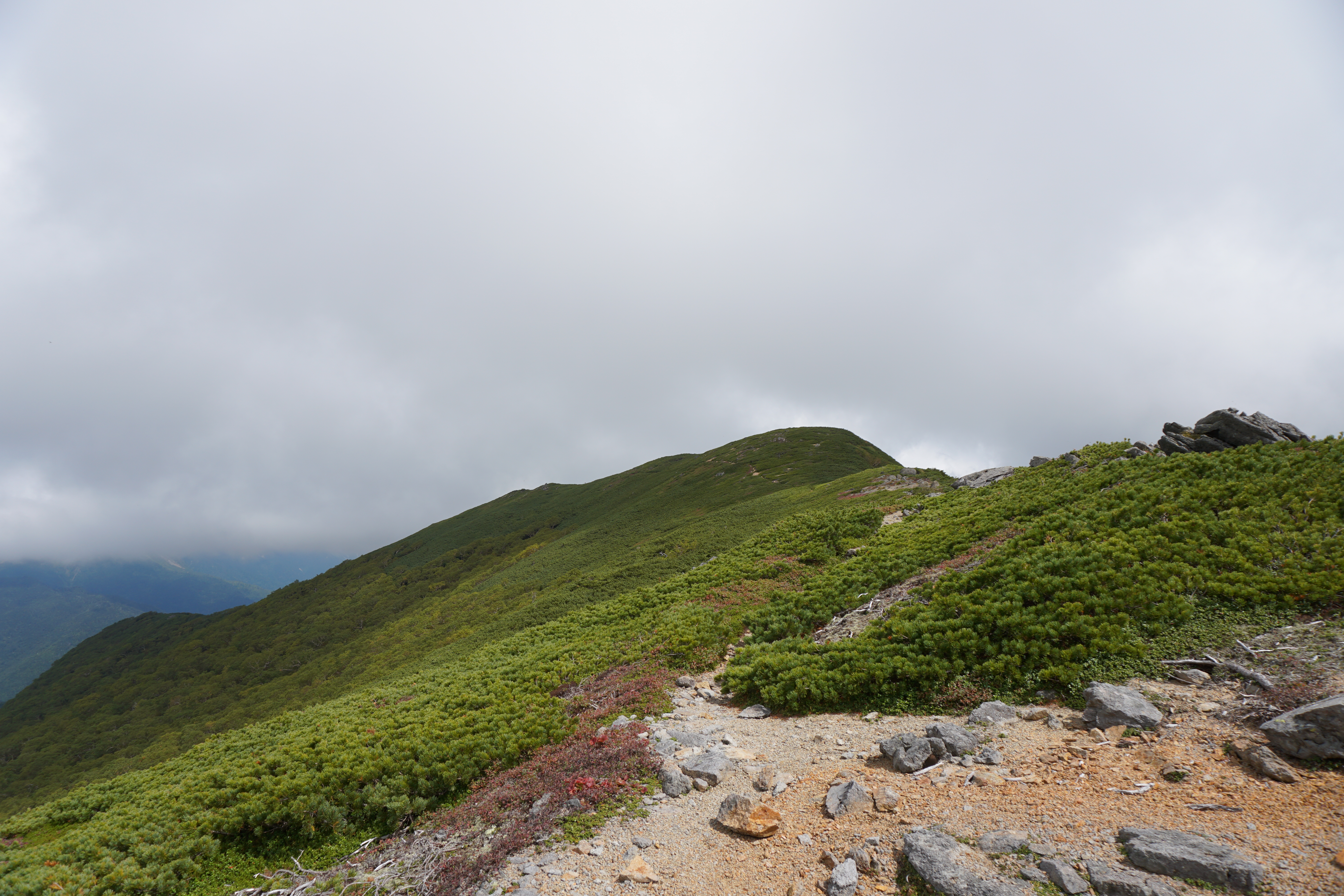
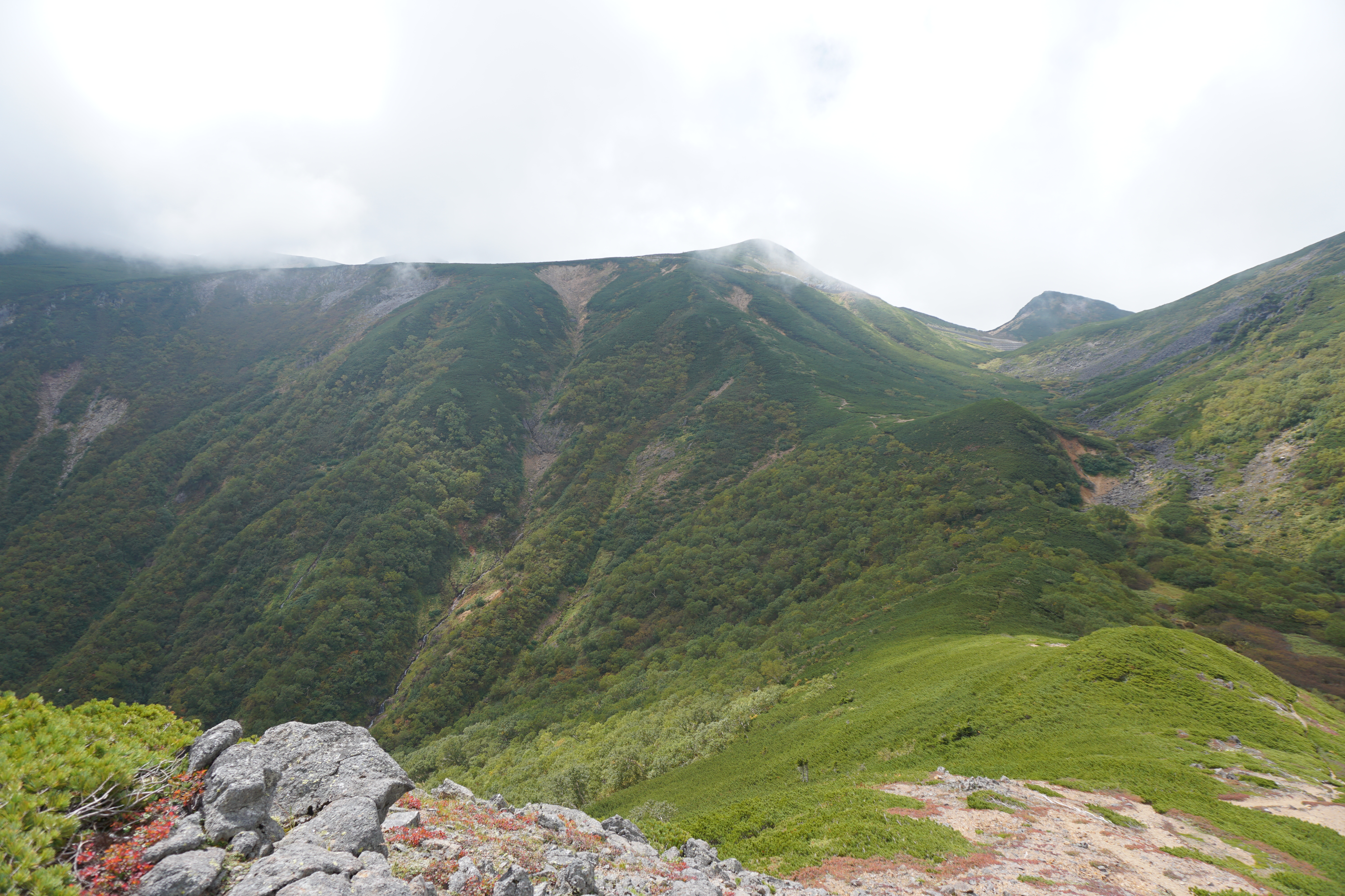
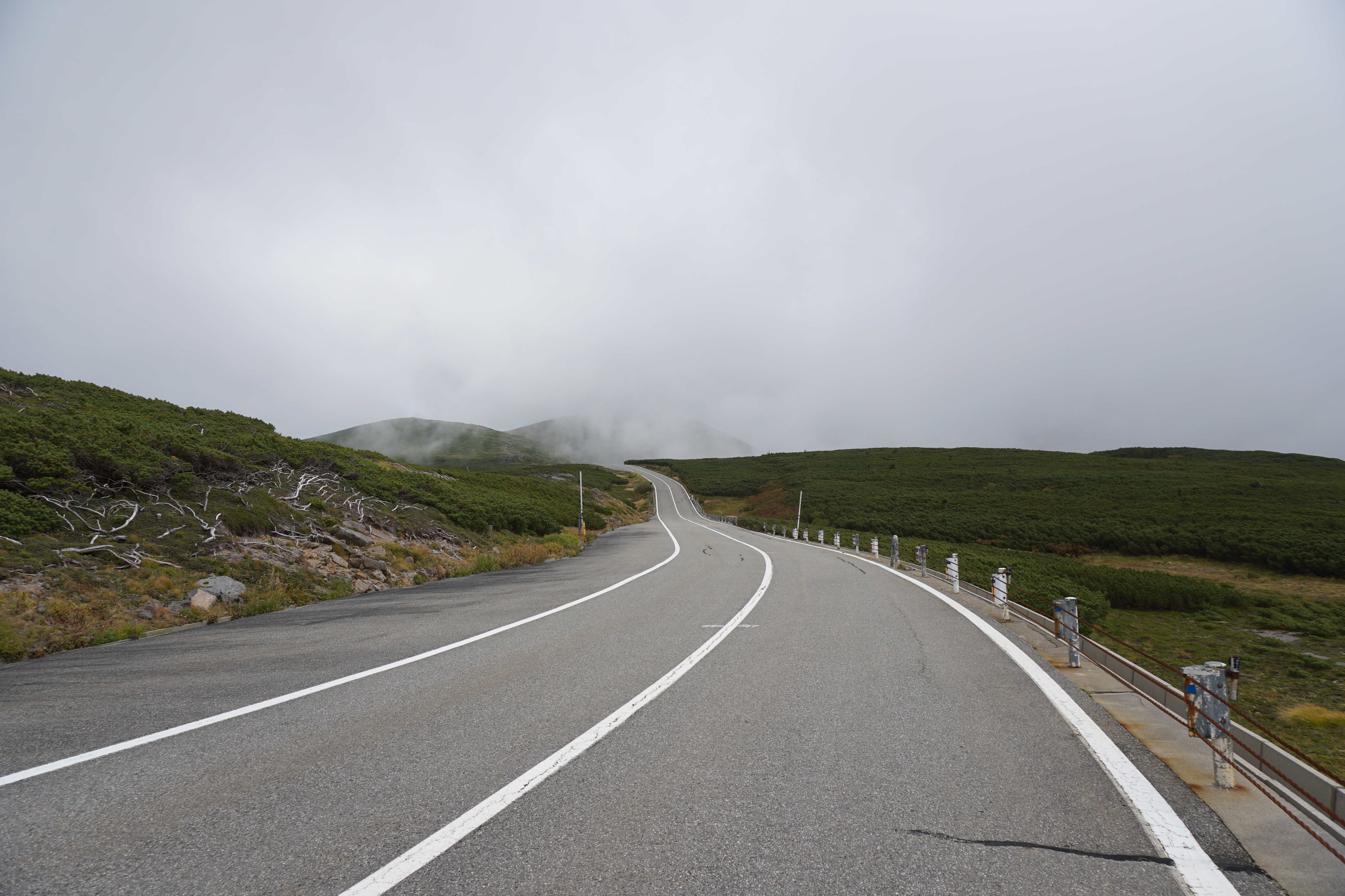
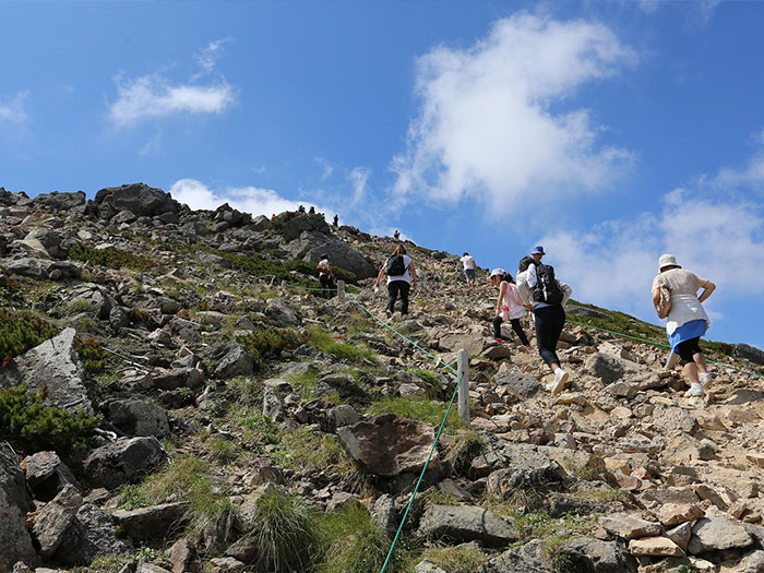
Proceed on the trail covered by Pinus Pumila. The trail has great views so you might take a rest while standing more often. You may get excited when Mt. Yari-gatake and the Hotaka mountains come into sight. Since there are fewer hikers on this route, it is easy to maintain your own pace. Walk steadily. Go around the summit of Mt. Iou-dake. Alpine plants such as Dicentra may cover the trail at your feet. Please be careful not to step on them. Go around the summit of Mt. Maru-yama as well. The trail arrives at a gravel area in a zigzag pattern. At the top of the hill, the trail merges onto the Norikura Skyline. From that junction, the trail becomes paved. Walk on the roadside. It is a tourist road with an open view. When Mt. Maou-dake, rising from Tatami-daira, appears in your direction, go off the tourist road and get on the trail towards Mt. Daikoku-dake.
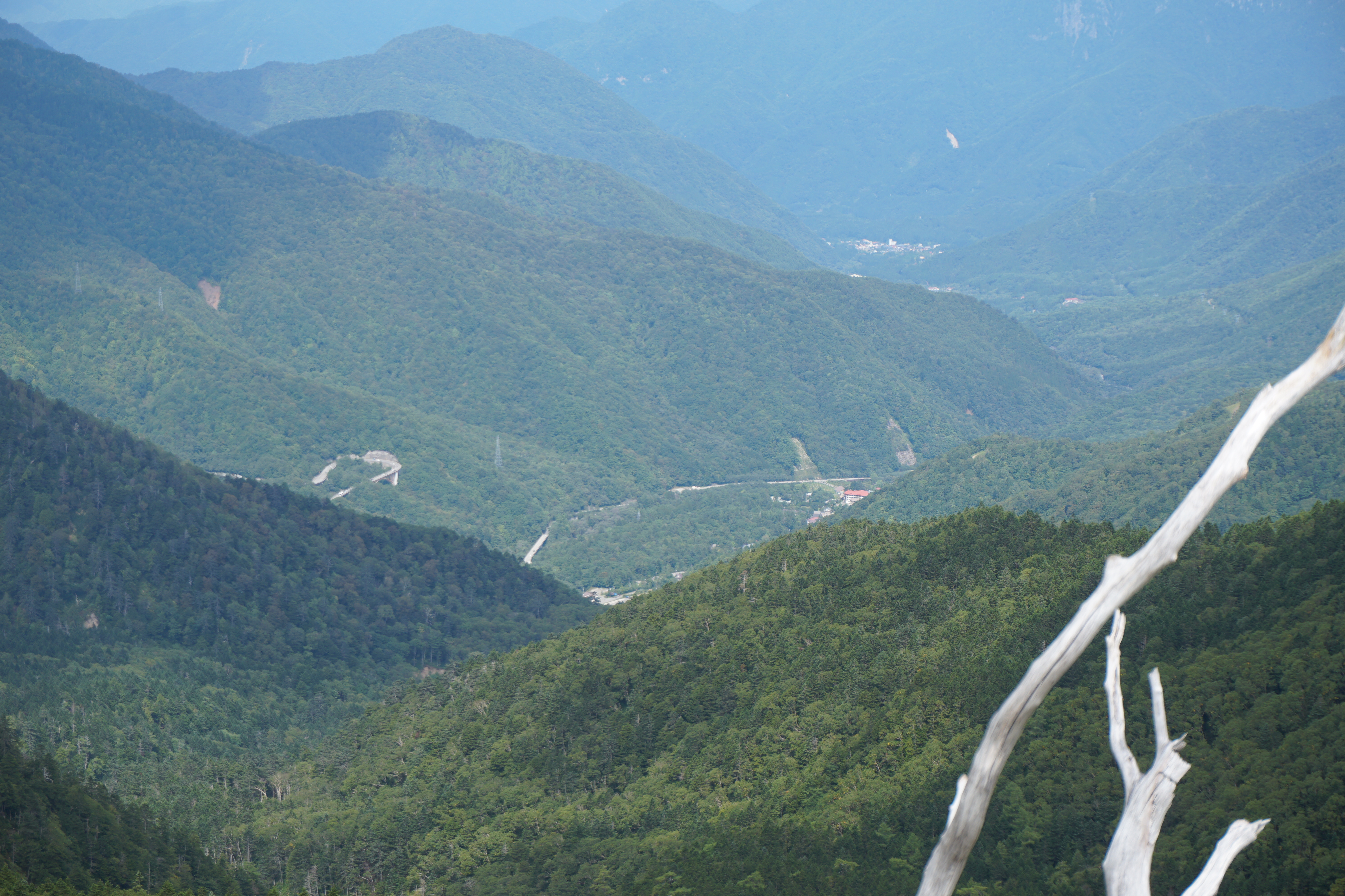
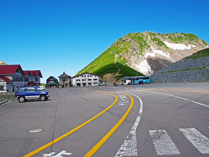
The trail to Mt. Daikoku-dake is bright and straight. The summit will be reached in about 15 minutes. It is an open summit and the view can be enjoyed while resting. Kenzakai-hiroba, a trailhead of Mt. Fujimi-dake will be reached about 5 minutes after descending from the summit. Ascend on the comfortable trail. Tatami-daira can be spotted at the lower right corner of your sight. The bus terminal, facilities at the terminal, and Tsuruga-ike can be seen as well. To descend, ride a bus from Tatami-daira.
The peak of Mt. Fujimi-dake is open, however, it is a plateau with rocks, so be careful not to stumble. Many hikers from Tatami-daira area visit this summit. Descend the ridgeline to Katano-koya Mountain hut. There is a resting point behind the hut. Take a break there.
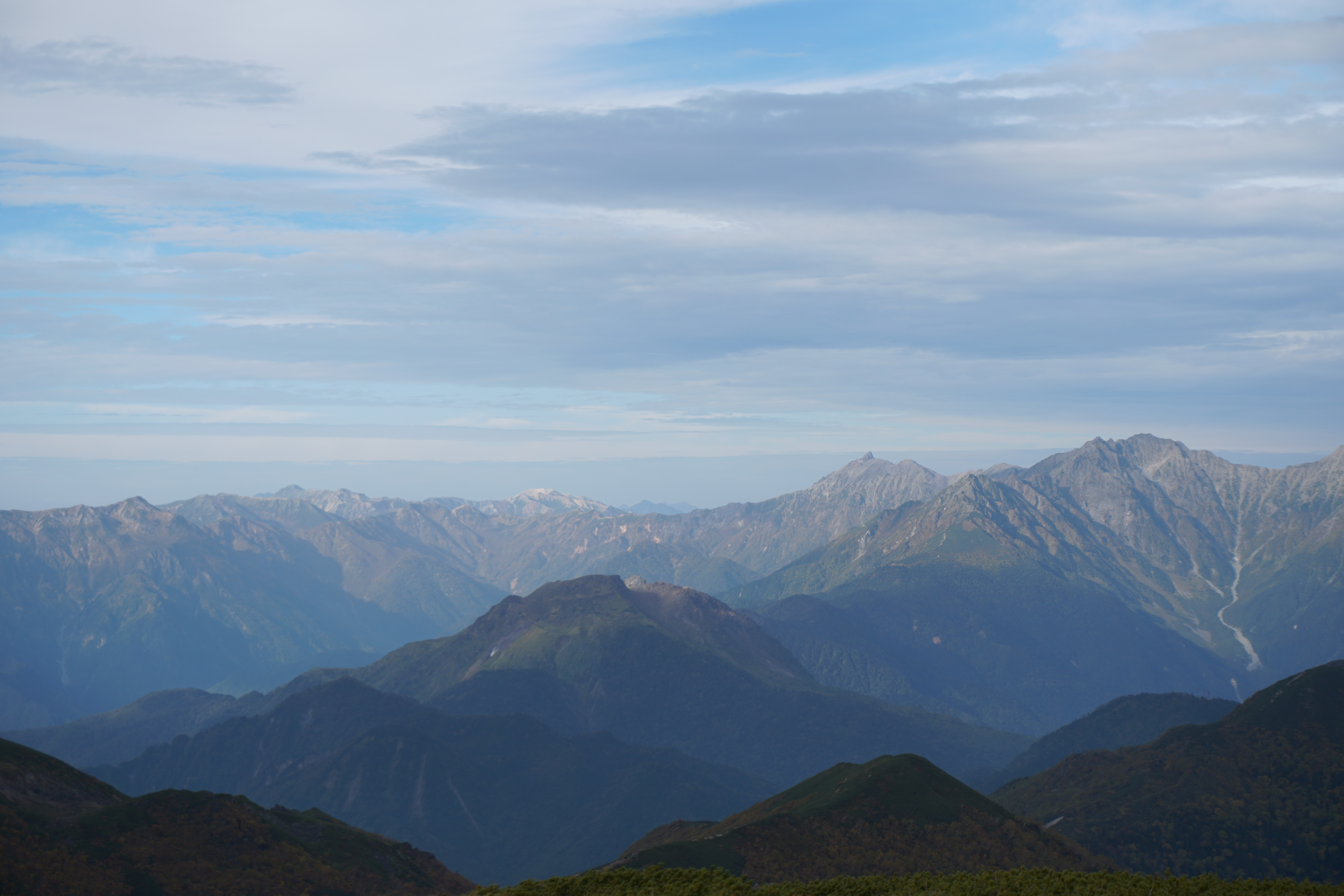
The trail to Kenga-mine starts from the front of Katano-koya Mountain hut. Climb the gravel trail through Pinus Pumila. Huge rocks are sometimes on the trail so caution must be practiced. When the trail becomes covered by stones, the Hotaka mountains can be seen behind you. You may enjoy observing Japanese Stellaria or Sedge along the trail. When you reach Mt. Kodama-dake, the summit of Kenga-mine can be seen in front of you. In about 5 minutes from here, the trail becomes an uphill to Chojo-koya Mountain hut. Go through rocks and pass Choko-koya Mountain hut (only a shop). The summit of Kenga-mine, where Norikura-Hongu Shrine Okumiya stands at an elevation of 3,026 m, is reached. Enjoy the views of the Hotaka mountains, Mt. Ontake-san, the South and the Central Japan Alps.
To descend, follow the signs to Tatami-daira. Descend the trail used for ascending until you reach the junction of the trail towards Mt. Fujimi-dake. Take the left trail at the junction and proceed. Then at the next junction, take the left descending trail, which leads to Tatami-daira where the Norikura bus terminal is located. Flower fields spread out right before the terminal