Nakao Onsen Route
Nakao Plateau Bus Stop ~ Nakao Plateau ~ Mt. Yake-dake Trailhead ~ Nakao Pass ~ Mt. Yake-dake (North peak) ~ Shin-Nakao Pass ~ Kappa Bridge
Technical level: C
Physical strength: 4
Difficulty: ★★
Approach from the route with fewer hikers
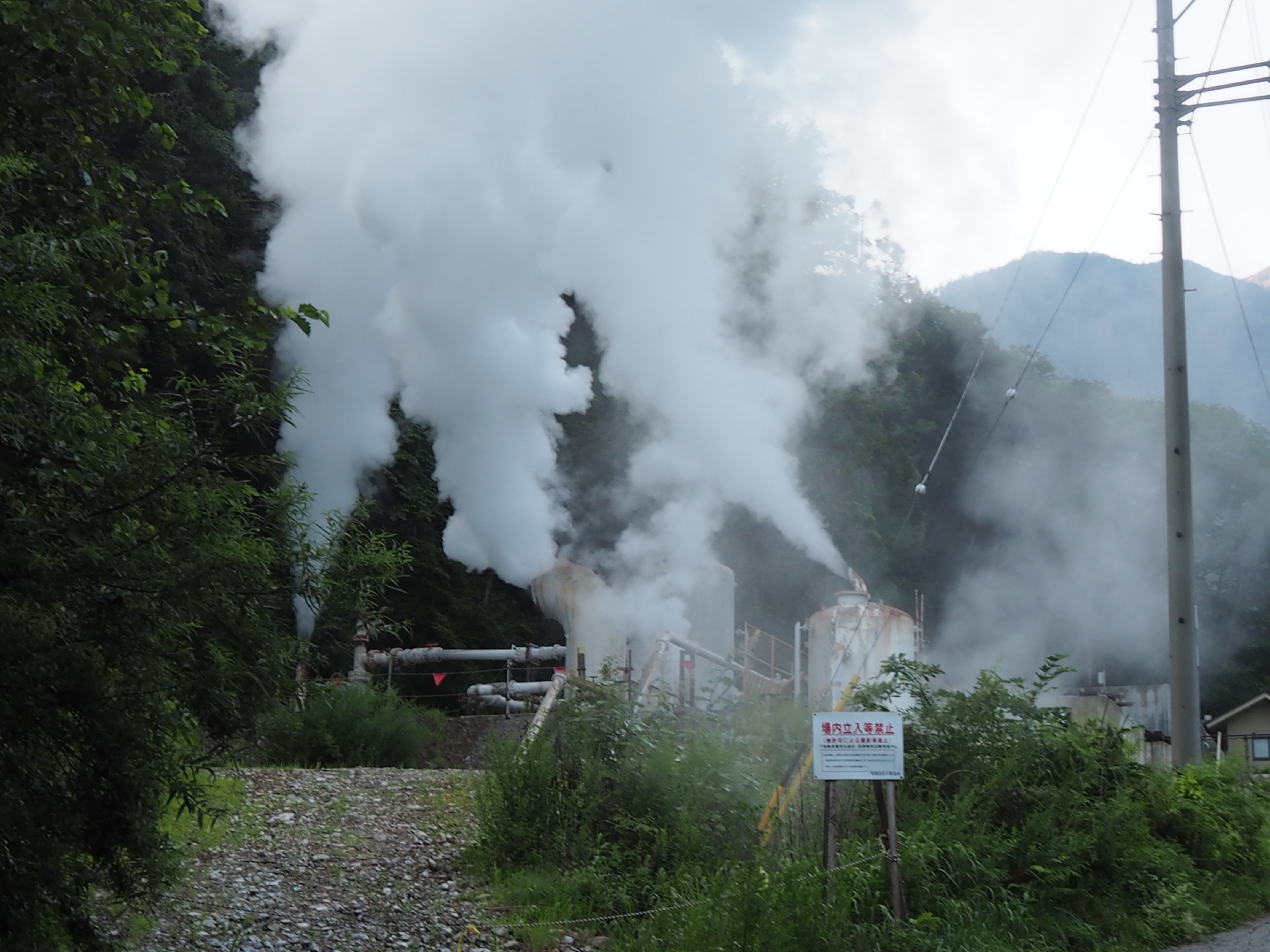
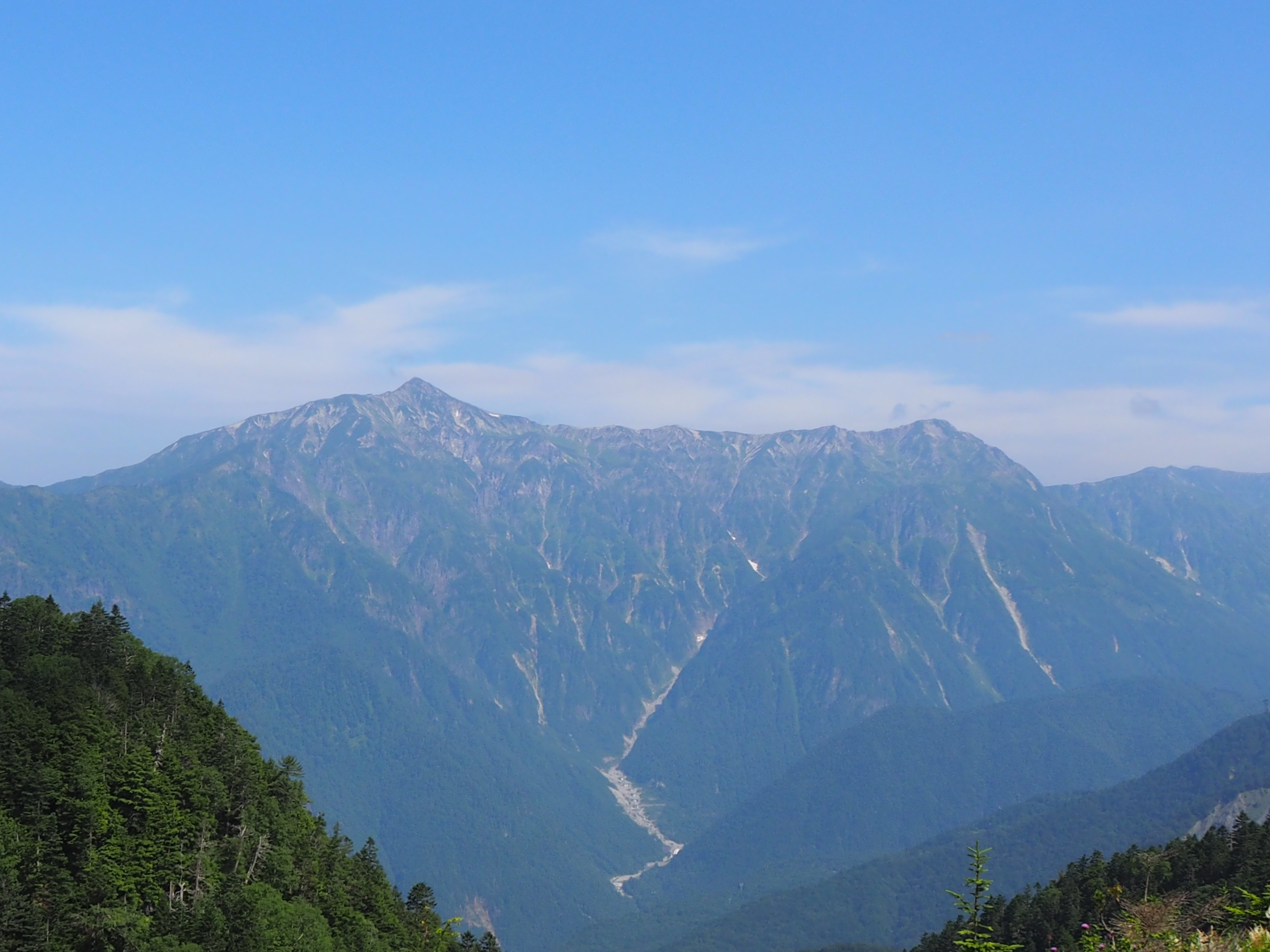
It is the only active volcano in the North Japan Alps. The south peak of the main peak is closed due to volcanic activity. If you look at the south peak from the north peak, which is 50 m lower in elevation, you must feel the wildness of the active volcano. The route that we will introduce is the old trade route and it should be fun to cross Nakao Pass. Descend to the most accessible area, Kami-kochi.
Mt. Yake-dake is an active volcano. Please check the information from the Japan Meteorological Agency in advance and carry a helmet when climbing. Japan Meteorological Agency.
Access to Nakao
Access to Kamikochi
●Hiking Data
Schedule: One day
Walking hours: 7 hours 45 minutes (Up: 5 hours Down: 2 hours 45 minutes)
Walking distance: 14.07 km
Cumulative elevation difference: 1,693 m
Nakao Plateau Bus Stop

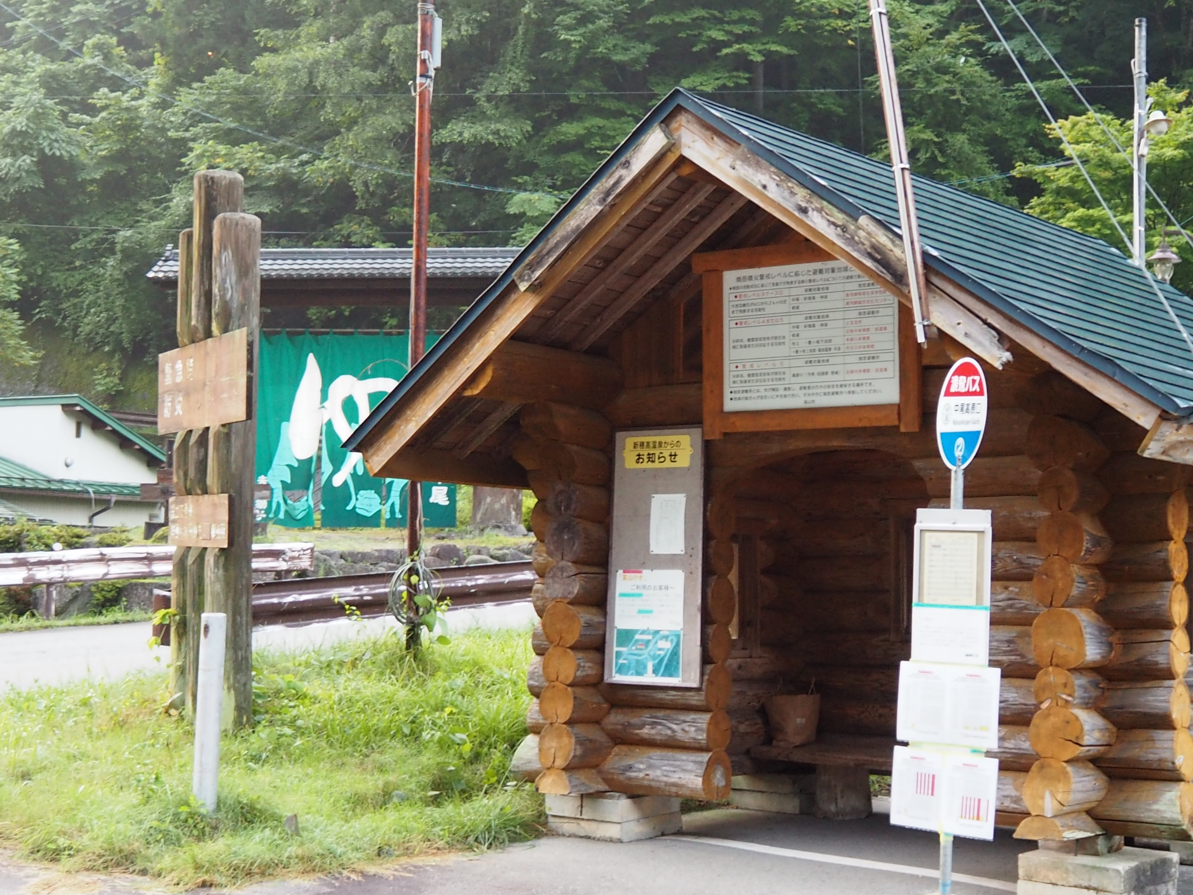
Elevation 1,082m
↓ 20 minutes
Nakao Plateau


Elevation 1,200m
↓ 30 minutes
Mt. Yake-dake Trailhead

Elevation 1,250m
↓ 30 minutes
Hakusui waterfall viewing


Elevation 1,411m
↓ 2 hours
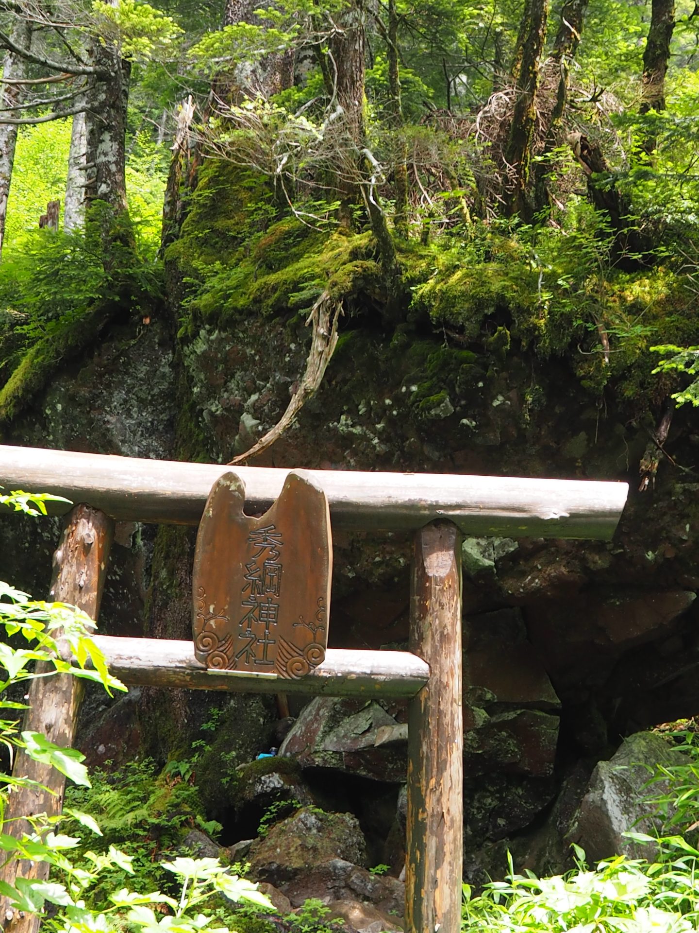
Hidetsuna Shrine
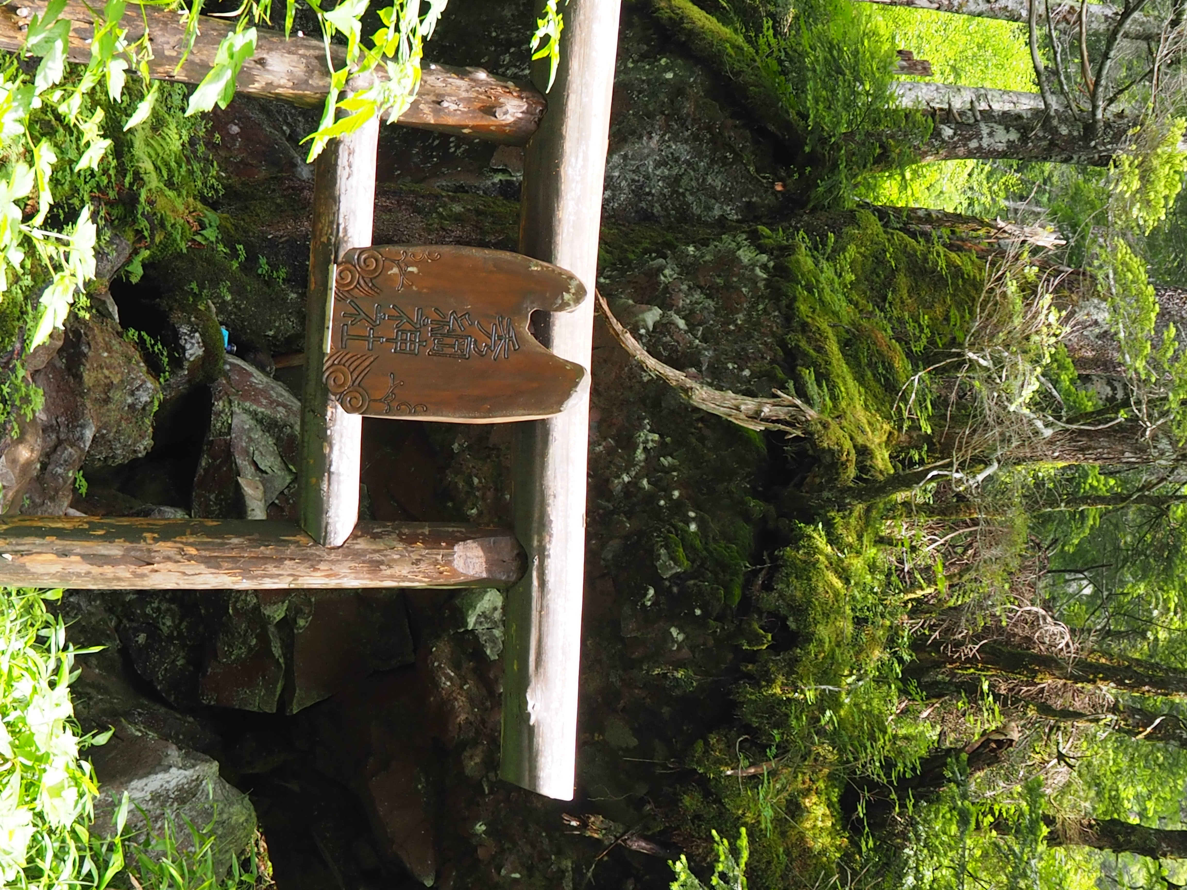
Elevation 1,940m
↓ 30 minutes
Nakao Pass


Elevation 2,130m
↓ 1 hour 10 minutes
Mt. Yake-dake the north peak


Elevation 2,393m
↓ 40 minutes
Shin-Nakao Pass

Elevation 2,100m
↓ 20 minutes
ladder
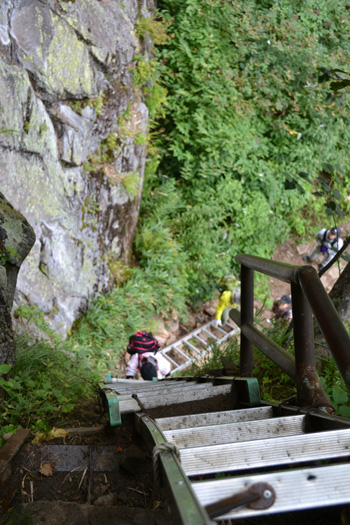
Elevation 1,949m
↓ 1 hour 50 minutes
Kappa Bridge

Elevation 1,505m
Route Guide
There are no road signs from Nakao Plateau bus stop to Mt. Yake-dake trailhead, however, you should not have any problems if you follow the wide paved road. A hiking registration post will be reached a while after you have passed Gassho-no-mori Nakao camping site. Submit your registration here. There is another post near to Nakao Plateau bus stop. Make sure that you submit your registration at either place.
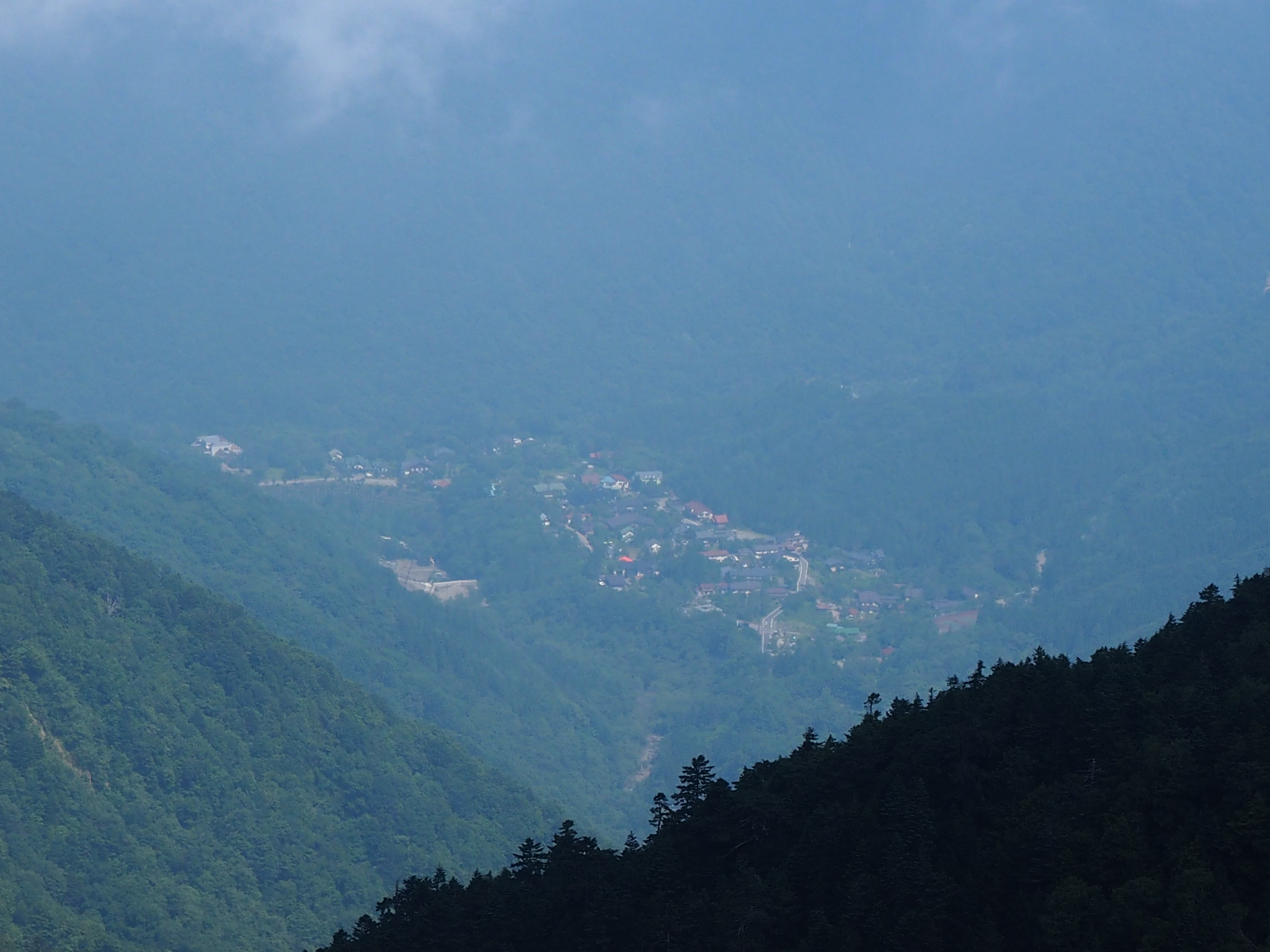
The trail becomes hard hiking trail from Mt. Yake-dake trailhead. It takes three hours to Nakao pass. The trail is all uphill, therefore, it is recommended that you take a five-minute break every hour. Also, be careful not to fall if you take a break while standing. The rough feature of Mt. Yake-dake can be seen behind Hakusui valley. A trailhead is located ahead of the junction with the logging road and you will use this to descend to Hakusui valley.
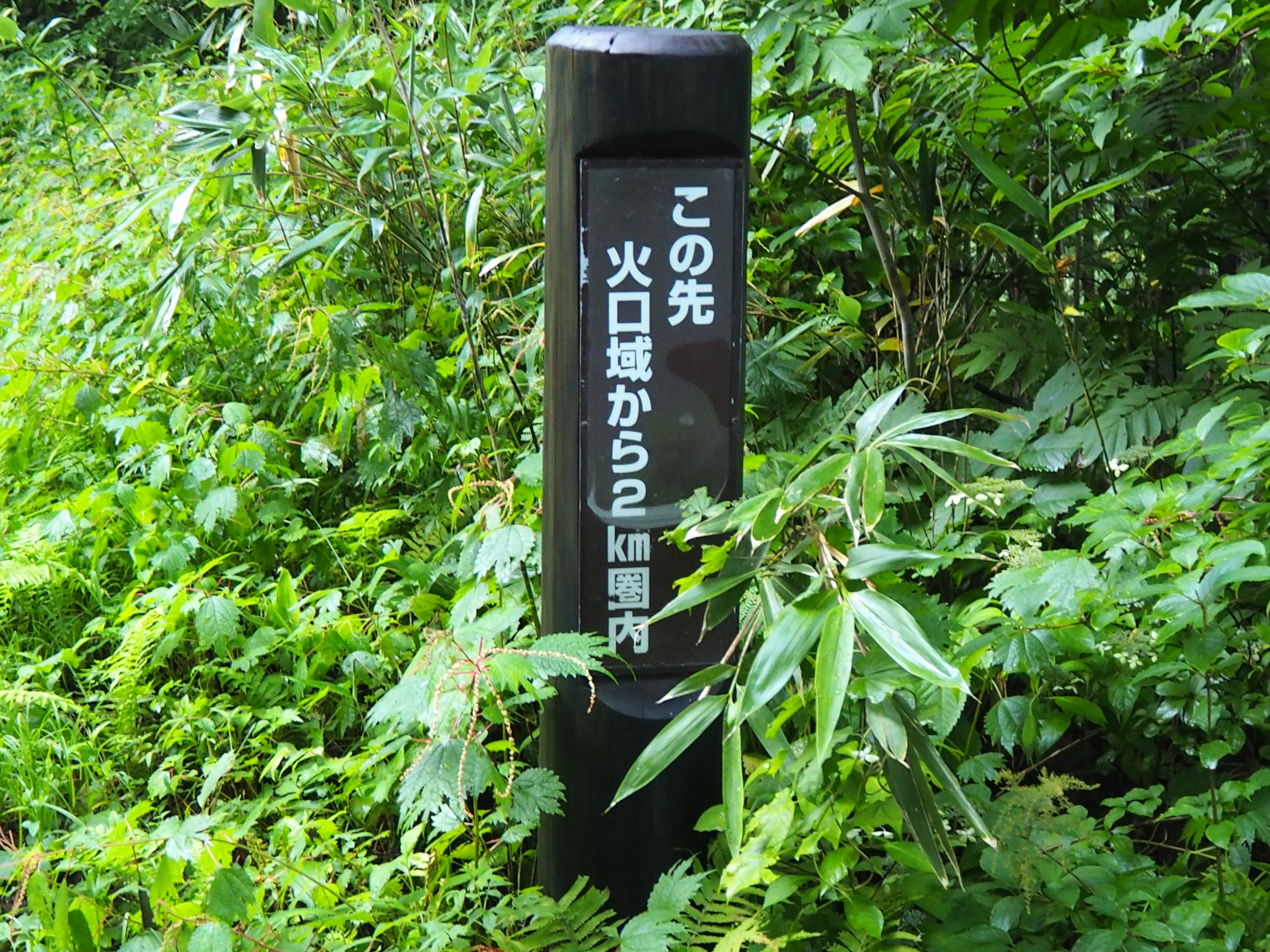
The trail crosses the branch stream immediately. Fill your water bottles here. The trail becomes steep soon but the Beeches along the trail are beautiful. Hakusui Falls can be spotted on your right. Ascend through a beautiful broad-leaved forest, and the sign of Hakusui Falls welcomes you. This falls is a big falls about 0 m in length over Hakusui river and extends below your eyes. If you hike to the plateau, which sits slightly higher, the view from there seems to be more dynamic. From there, the trail continues with steep slopes and with no views, is rather uninteresting. The trail continues in a zigzag pattern. When you pass the “2 km to Mt. Yake-dake” sign, you come to pass the unstable collapsing spot. Walk carefully. Just ahead of this place, the sign for Nabesuke-Yokote stands. It is a plateau with a great view of Mt. Kasaga-take.
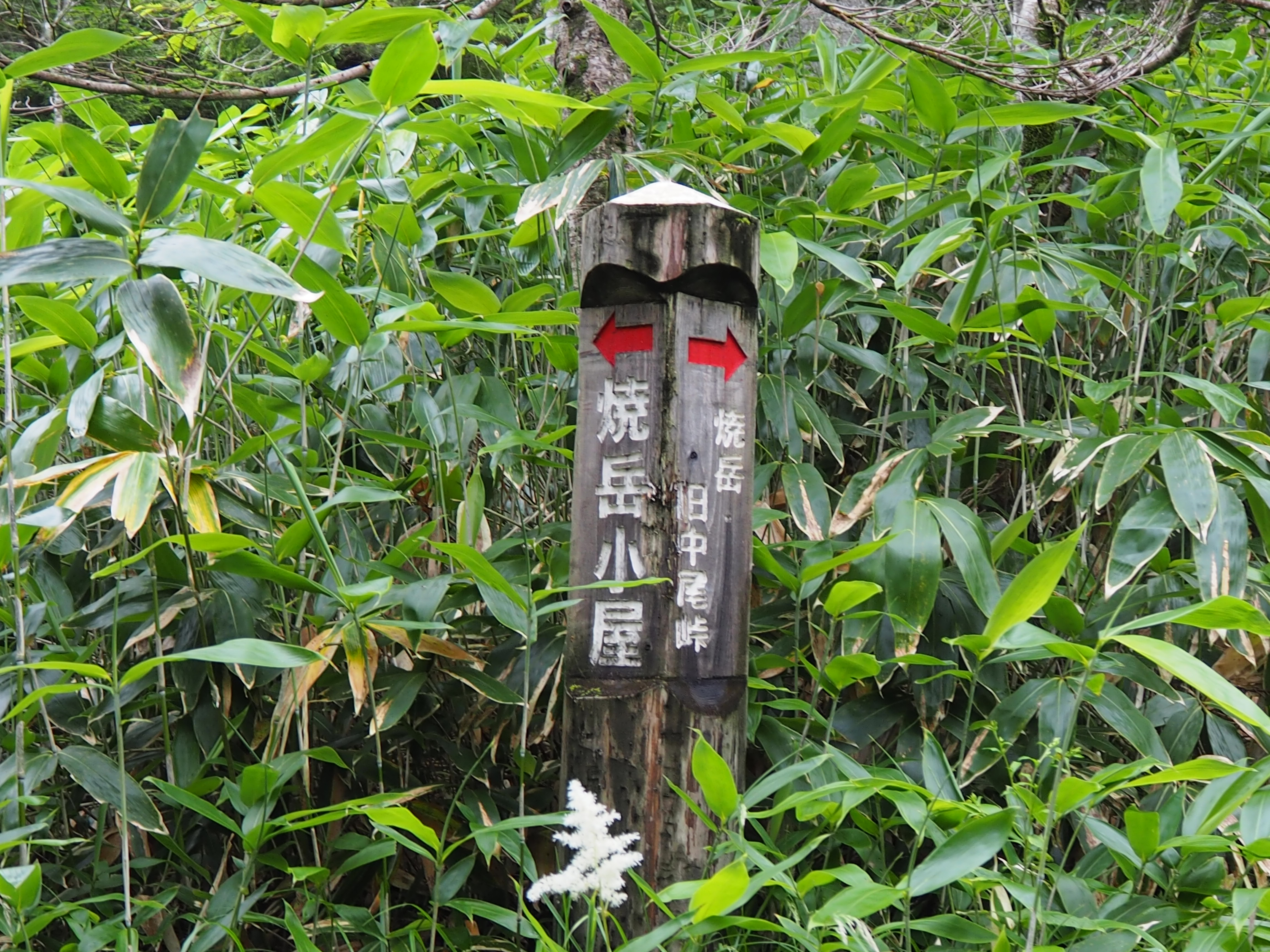
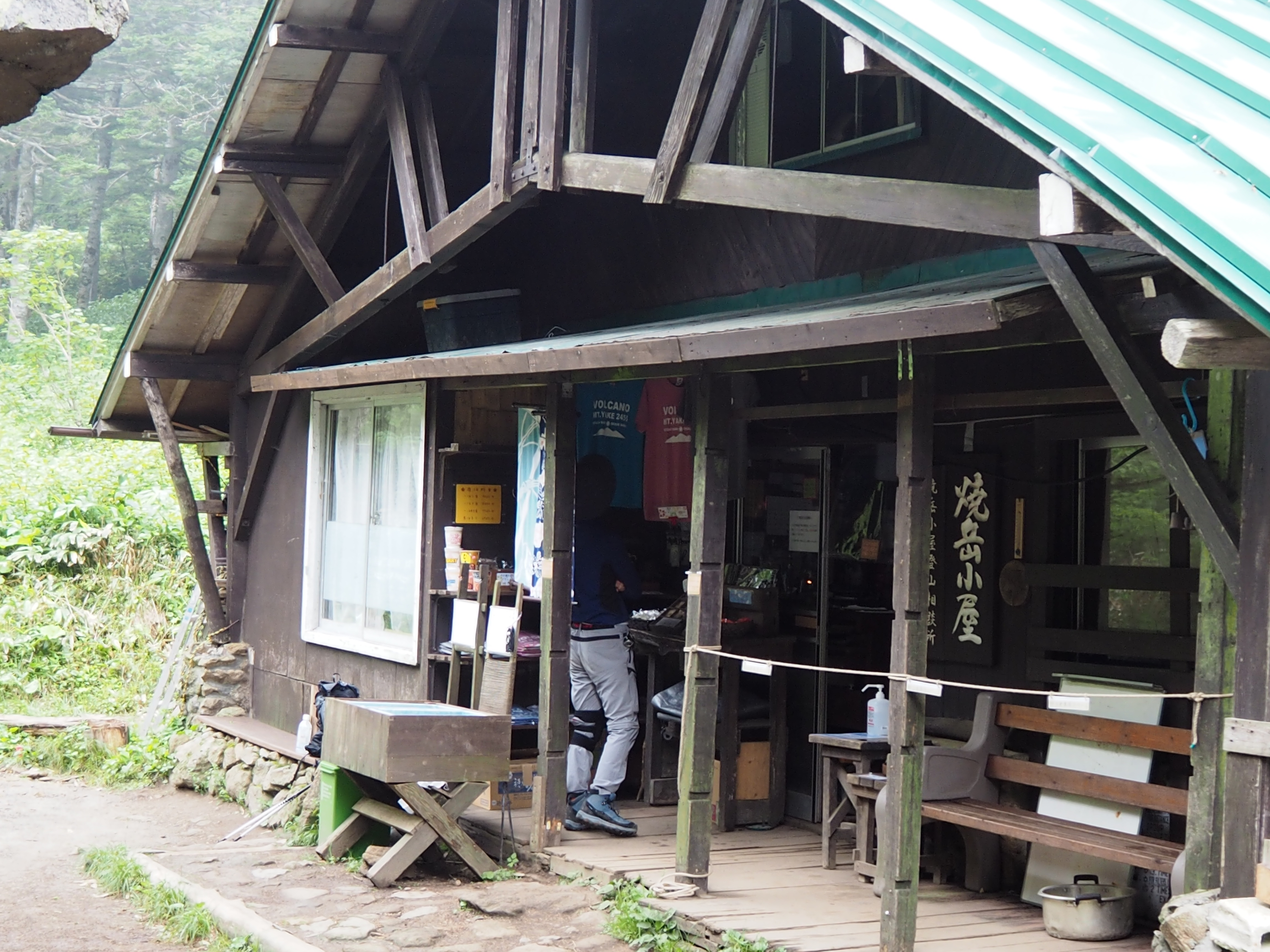
Ascend the steeper slopes in a zigzag pattern. Try to enjoy the view of Mt. Kasaga-take while hiking hard. Hidetsuna shrine comes into view on the left. This shrine worships the lord of Matsukura castle, Hidetsuna Mitsuki, who was attacked by Hideyoshi Toyotomi at the time of the Hida attack. The junction with the Yake-dake-koya Mountain hut will be reached after you descend on the unstable trail for about 10 minutes. The left trail leads you to Yake-dake-koya Mountain hut. To Nakao pass, take the right trail. After passing the forest zone, the dynamic mountain of Mt. Yake-dake appears in your direction. Nakao pass with an open view will be reached at the top of the grass slope.
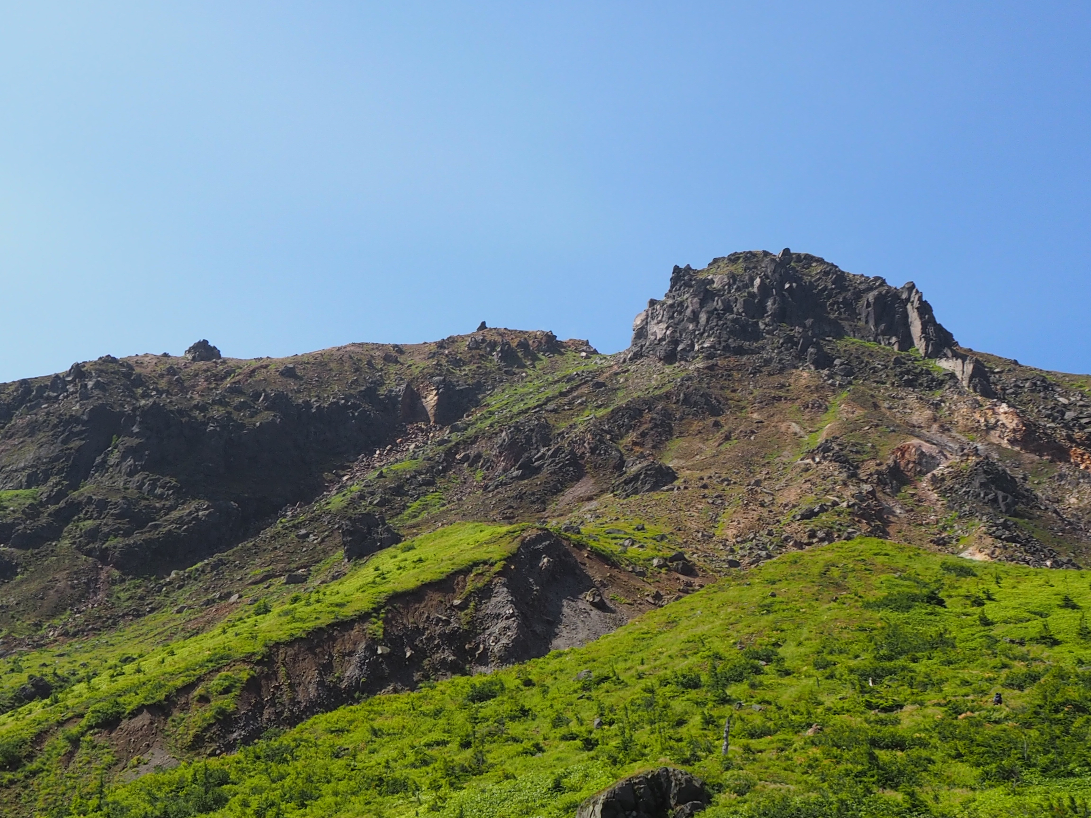
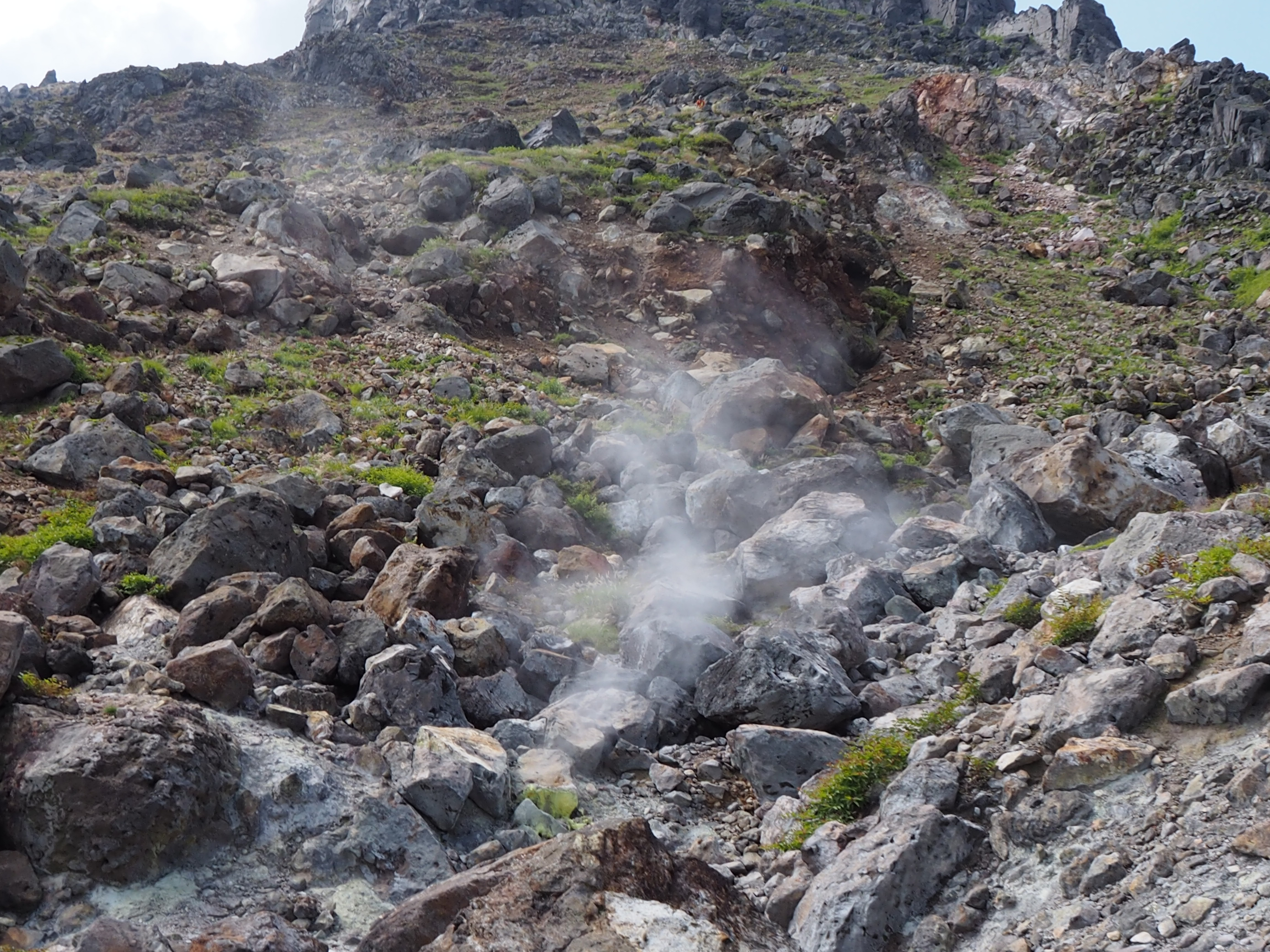
The view of Mt. Yake-dake from Nakao pass is gigantic and even the seemingly very small figures of hikers who walk ahead on the rocky zone can be spotted. Climb the ridgeline-like slope. It is a steep and unstable slope. Try to keep your eyes two or three steps ahead for your safety. The trail turns to the wide slope at the top, right below the rock wall. Follow inked rocks or the tracks that hikers ahead of you have made to ascend. It is a savage rocky area, however, you may spot Phyllodoce here and there. When the trail gets on the ridgeline, the course from Nakanoyu joins the trail.
The summit is an uphill away from the side of a blow hole on the right. The summit is located at the north peak and has a great view. You may see mountains in the south area of the North Japan Alps. Especially the beautiful feature of Mt. Kasaga-take is impressive. At the front, you can see the south peak, 50 m higher than the north peak. It is closed for hiking. Mt. Yake-dake is the only active volcano in the North Japan Alps. You may smell sulphur sometimes. It is not recommended to stay there for long. Descend to Kami-kochi. Refer to 2. Nakanoyu route for more details.