Gonbee-Toge Pass Route
Gonbee-Toge mountain climbing entrance〜Antenna peak〜Kitazawa〜Koinoko〜Observatory〜Central divide display sign〜Kyogatake
Technical level: B
Physical strength level: 3
Difficulty level: ⛰️⛰️
While the new Gonbee-Toge Pass route, which was opened in 2019 as a result of the efforts of the “Mt. Kyo-gatake wo Aisuru-kai (Mt. Kyo-gatake Supporters Association),” has some ups and downs, it has less elevation gain and seems to take less time than other routes, such as the Chusenji Temple or the Oizumidokoro Dam routes, making it an easy route to climb and conveying the feelings of the members of the Mt. Kyo-gatake Supporters Association in their desire to have as many people as possible use this new route. In addition, compared to the other two routes mentioned, this route offers better views and more alpine plants to see, so it will probably become the main route going forward. Let’s not forget to be grateful to all of those who worked hard to create this new trail as we climb.
●Hiking Data
Schedule: Day trip
Walking hours: 6 hours 50 minutes
Walking distance 10.6 km
Difference in elevation: 1,169 m(Same for cumulative downlink)
Gonbee-Toge mountain climbing entrance

↓ 50 minutes
Antenna peak

↓ 5 minutes
Takemi Rock
↓ 30 minutes
Alpine plant belt
↓ 15 minutes
Kitazawa
↓ 15 minutes
Mt. Ayame

↓ 15 minutes
Koinoko


↓ 15 minutes
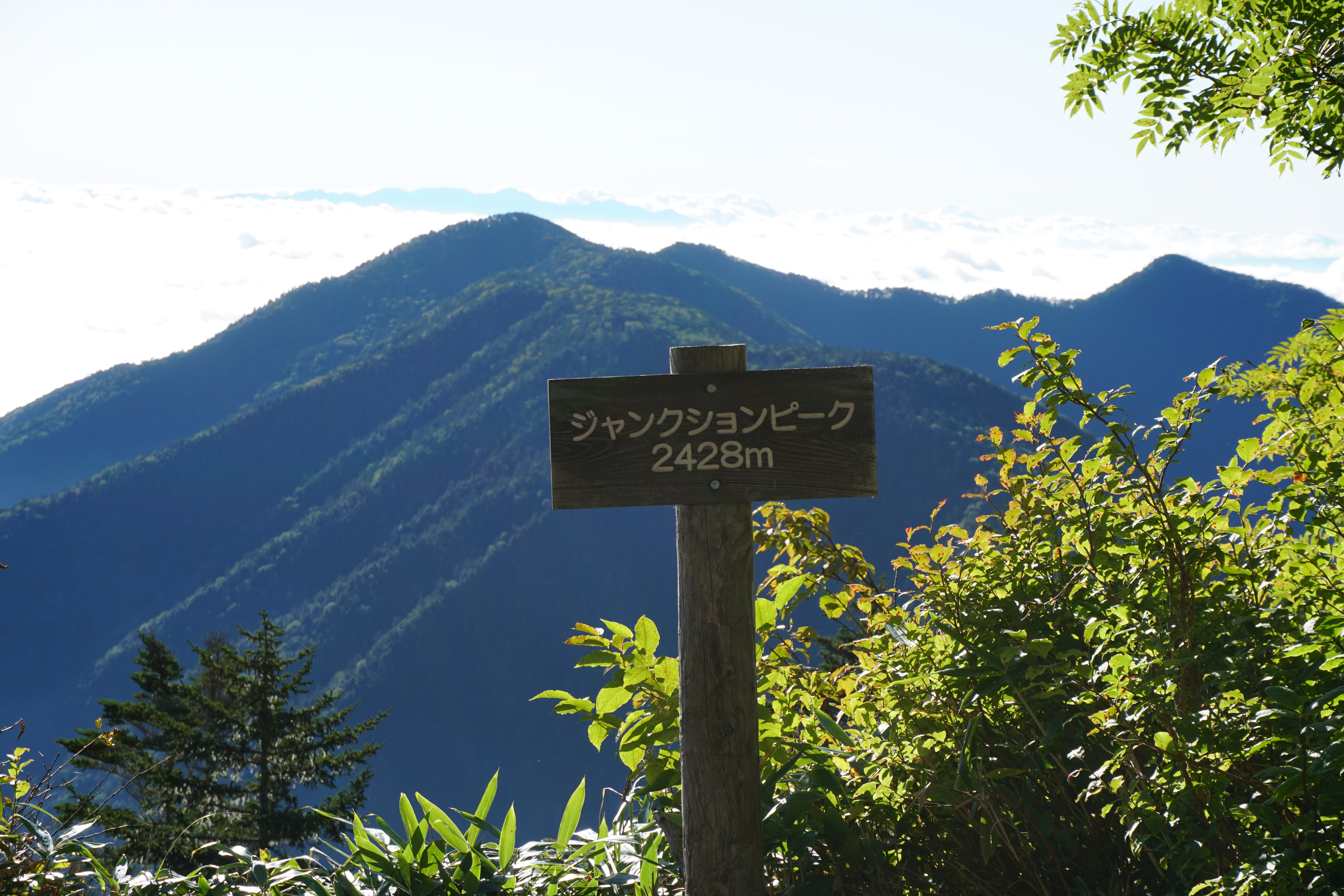
2,038m peak
↓ 10 minutes
Rocky observatory
↓ 25 minutes
Central divide
↓ 60 minutes
Kyogatake
↓ 1 hour 20 minutes
Koinoko
↓ 1 hour
Antenna peak
↓ 30 minutes
Gonbee-Toge mountain climbing entrance
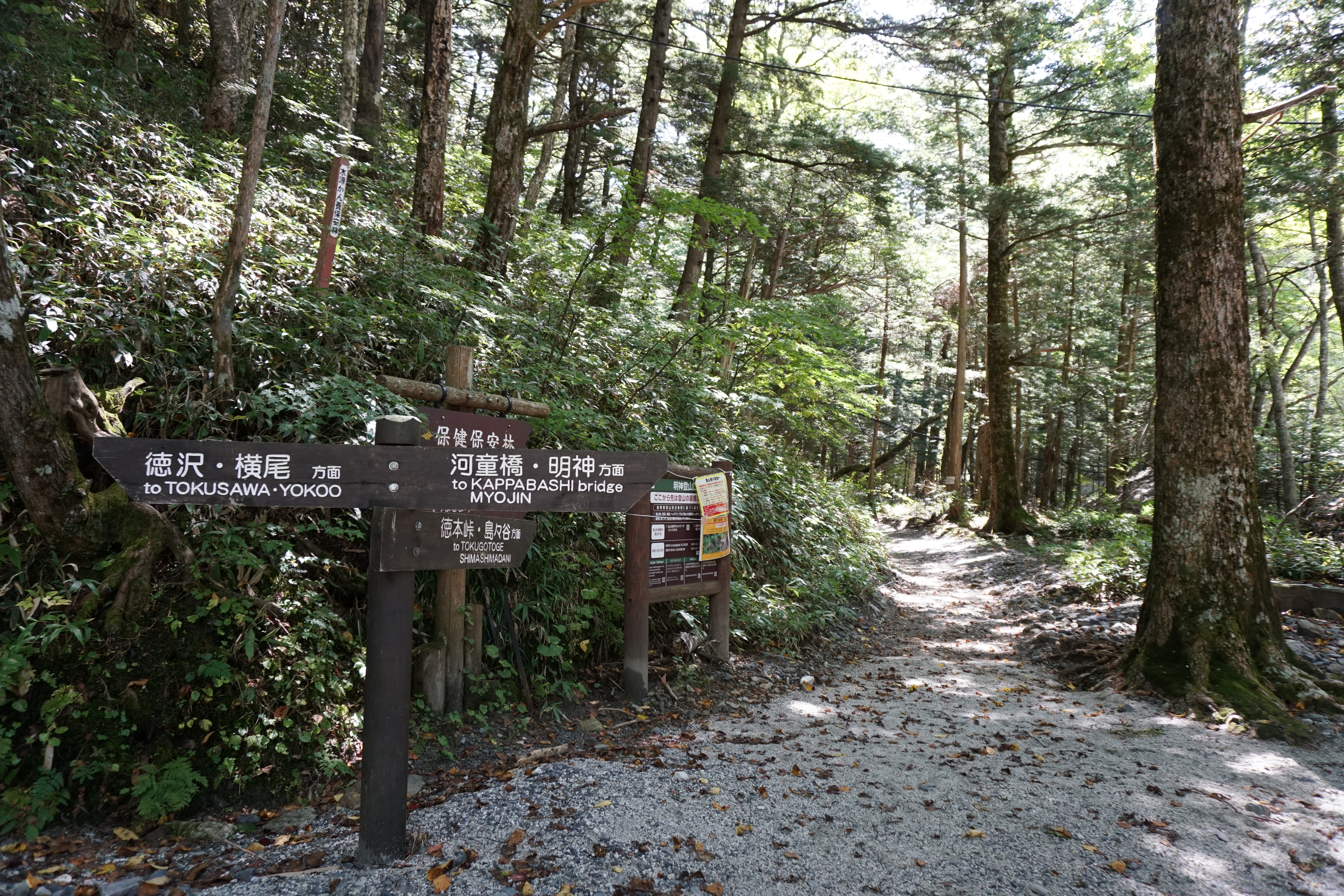
Route Guide
The trailhead is easy to find, but there is no box for submitting a hiking registration form, so please submit one using an app or other means before heading out. As you begin your climb you will notice that most of the trail is a comparatively soft dirt path where bamboo grass has been cut down and removed making it quite cushiony, which will relieve some of the strain on your knees, especially on the descent.
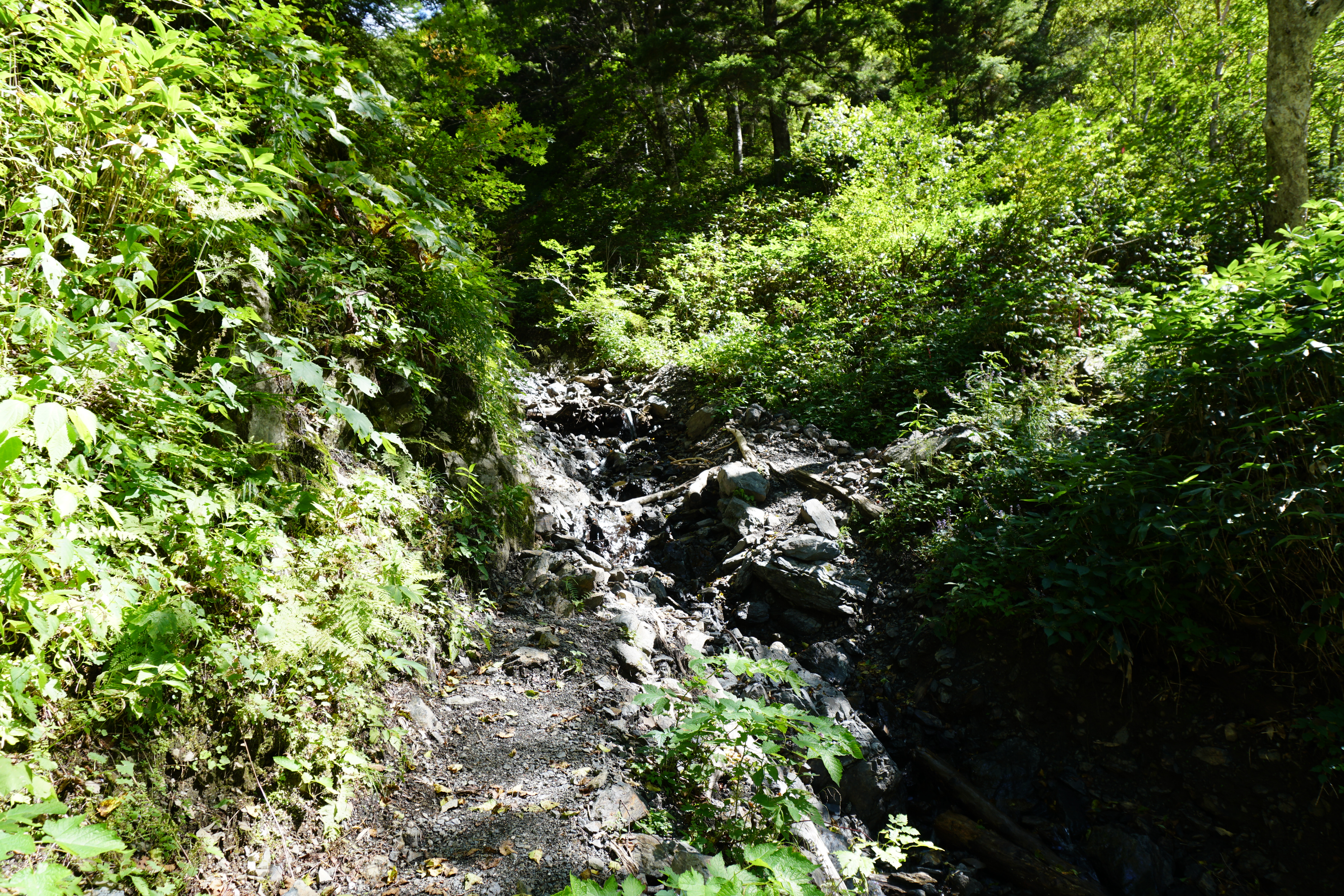
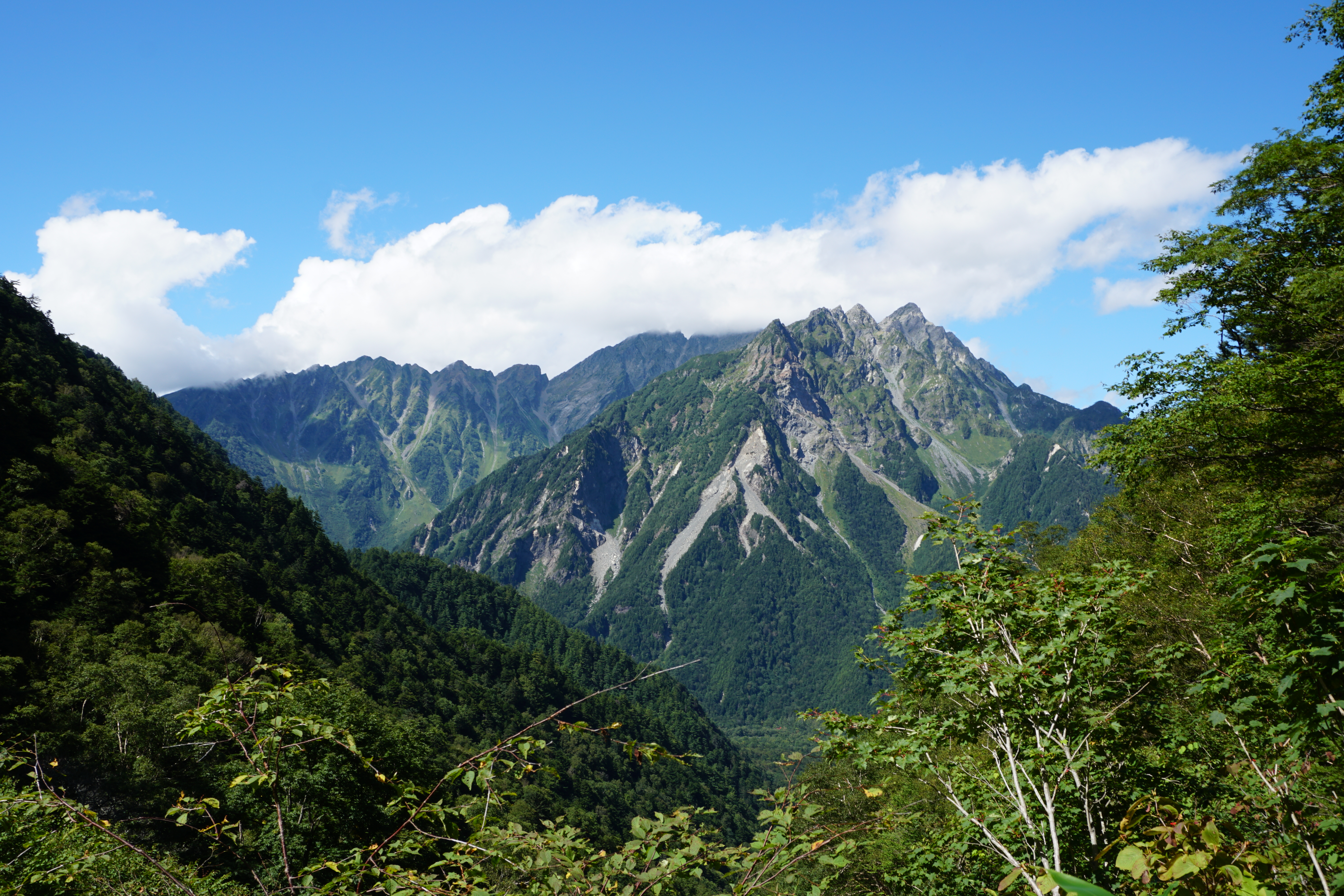
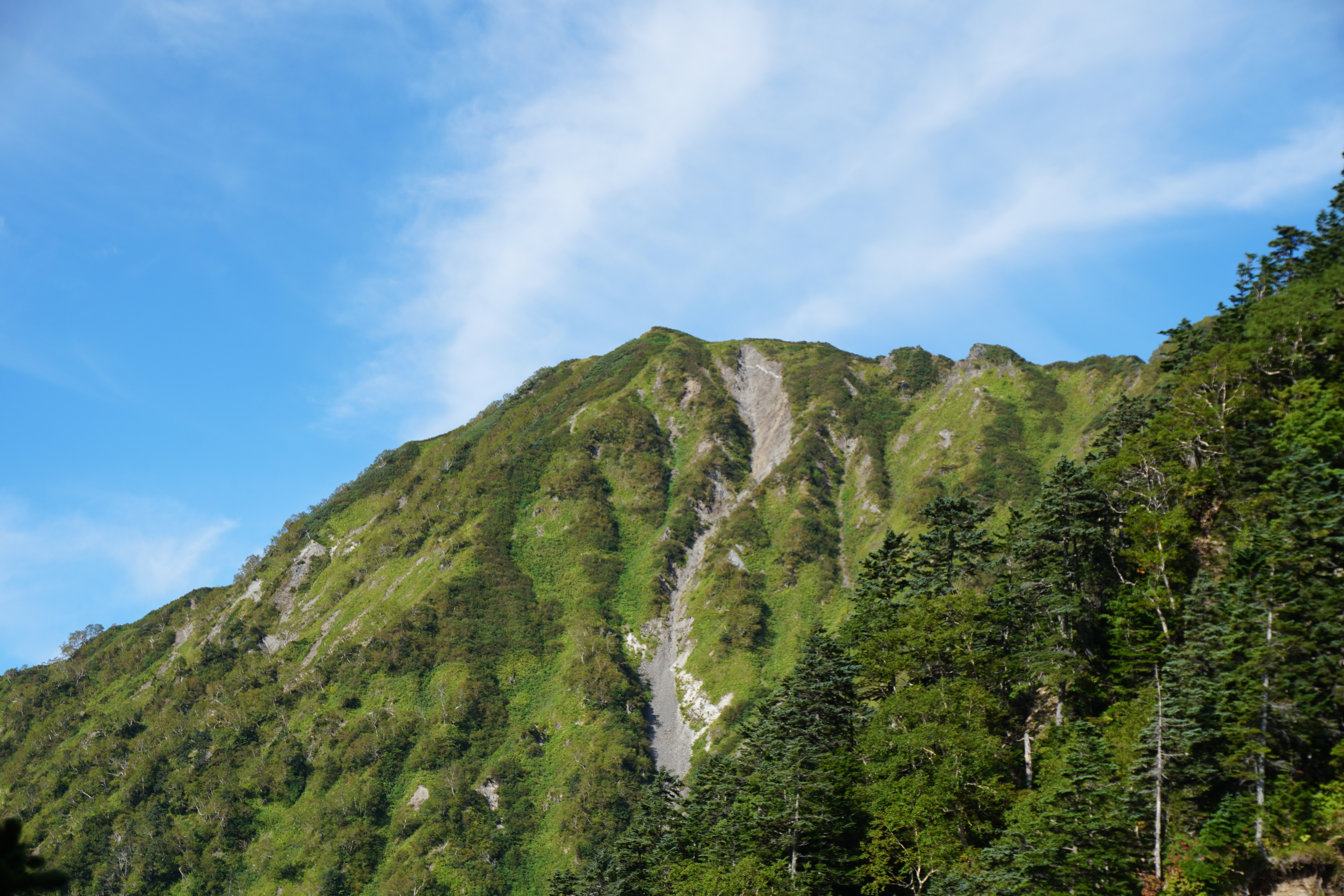
Following the forest trail for some time, you will come upon rails for freight cars on your right, and ascending further, you will find yourself at the top of a giant antenna tower. The rails are likely here from the time when this tower was being built. Here you can see Mt. Kyo-gatake looming in front of you to the north, and to the south, the main range of the Southern Alps is already visible across the valley. From here, the trail becomes what we might call a ridgeline with continuous ups and downs. After passing the large rocks that serve as landmarks, such as Takemi-iwa and Sankyodai-iwa, about an hour and a half away from the trailhead, the forest zone opens up to areas on both sides of the trail with alpine plants growing in clusters. In July, you can see clusters of irises and Japanese lilies.
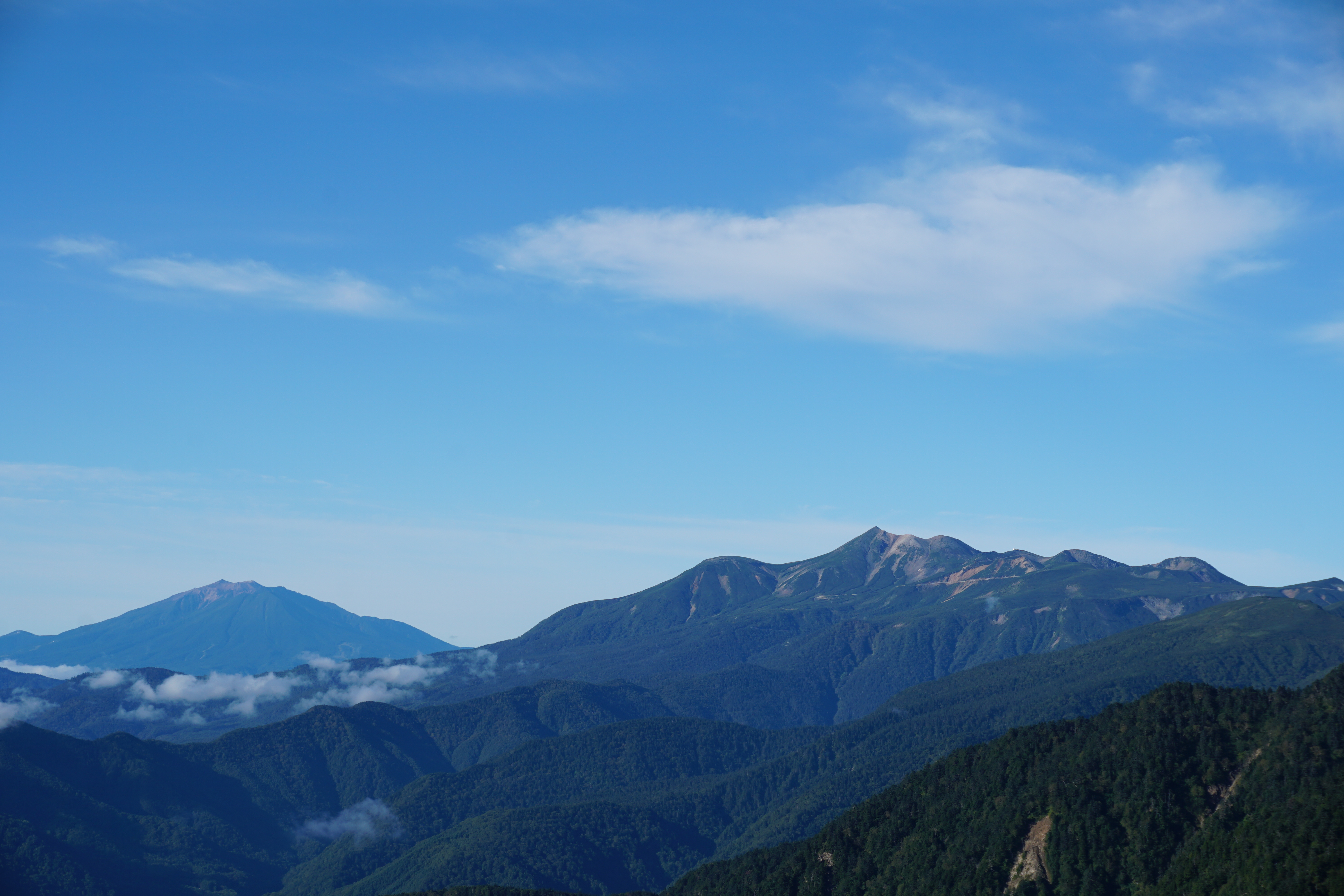
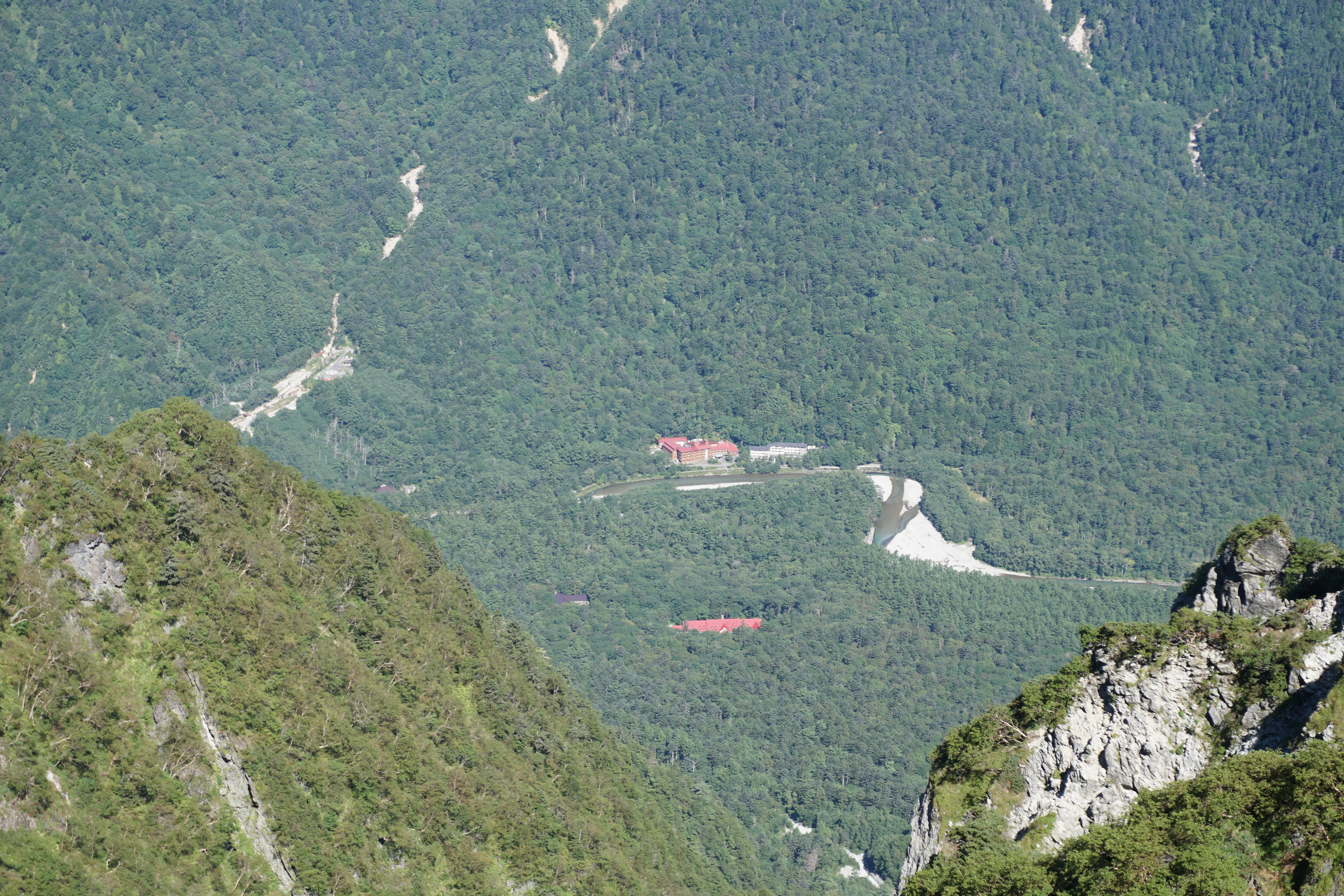
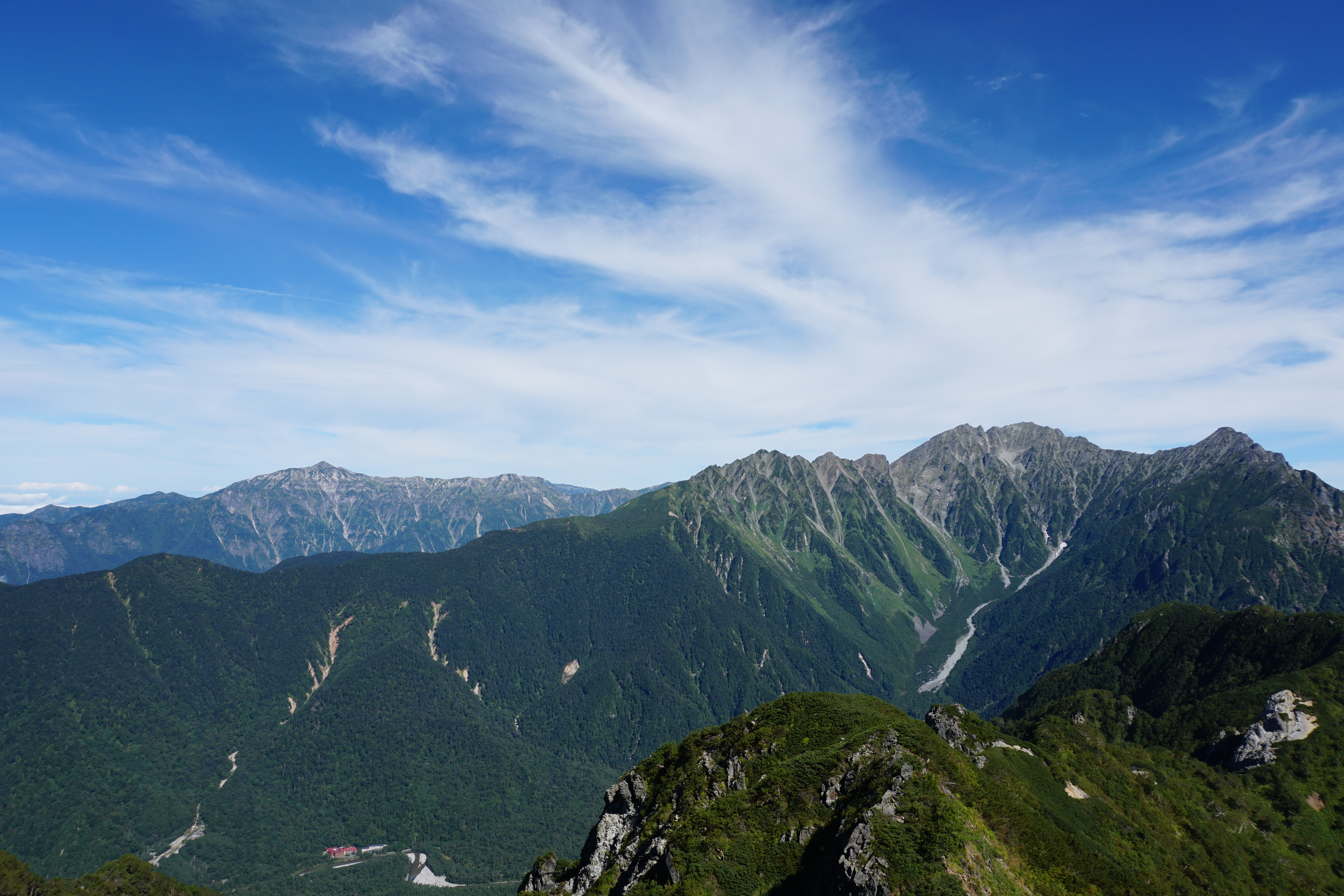
The highlight of the Gonbee-Toge Pass route is just ahead. Continuing on, you will arrive at Mt. Kitazawa-yama at the halfway point. Walking further you will come upon Mt. Ayame-yama, or “Iris Peak” and the route to Koinoko has the best views offering a clear shot of the Southern Alps, the Ontake Mountains, and Mt. Shogi-kashira-yama and Nishikoma sanso mountain hut in the Central Alps.
The allures of this route are the views and the alpine plants.
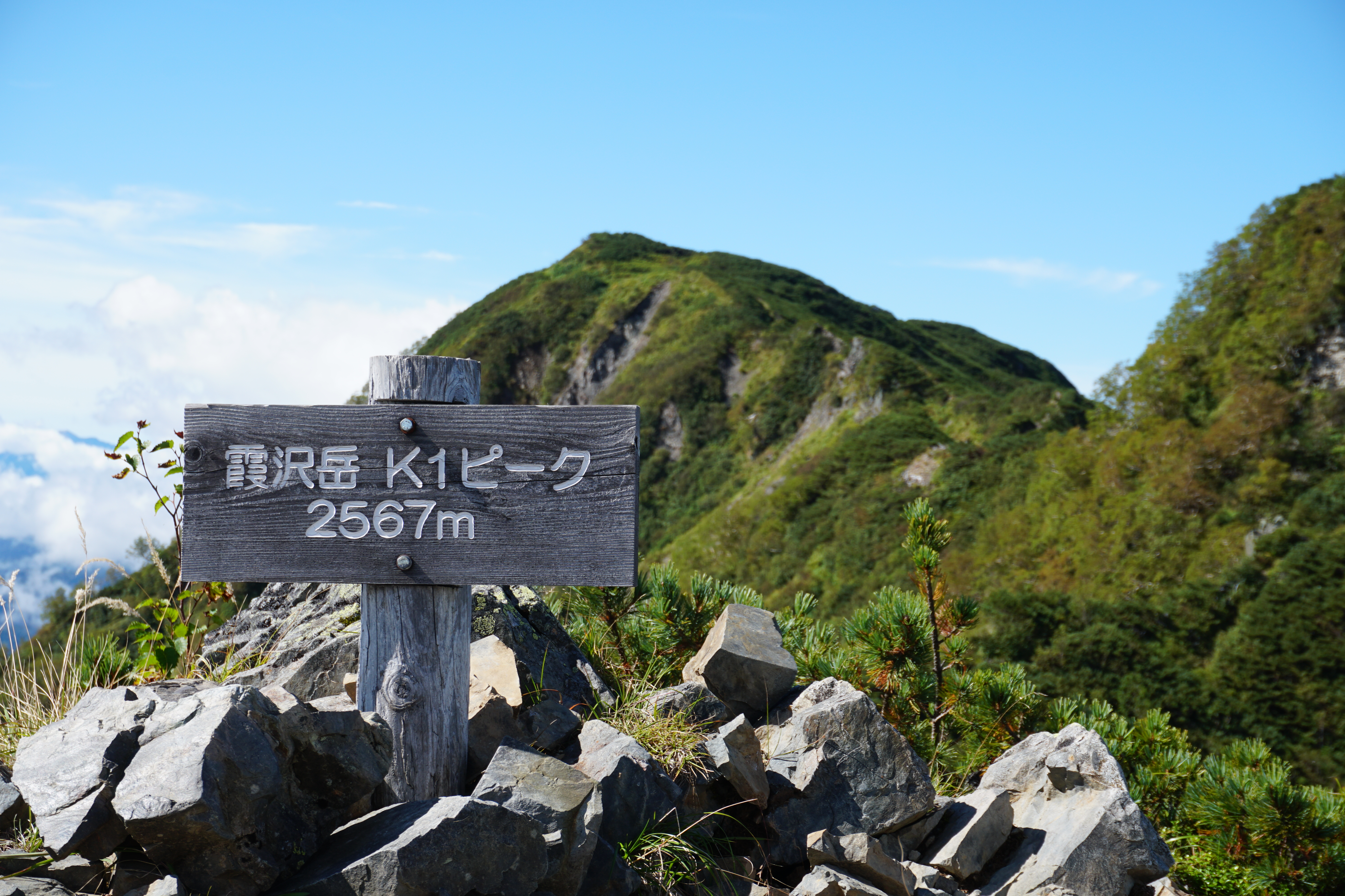
Once you pass Koinoko, the trail continues through a forest past the 2,034-meter peak, where you will find a rocky area with views of the Norikura Mountains and Northern Alps in between the trees. One of the two trails where the route divides becomes a rocky path, the most difficult part of the route. There is another path that avoids the rocky terrain, so beginners need not worry. After passing this central divide comes the most difficult portion. You’ll continue for 40-50 minutes up a steep climb through the forest until the slope becomes a little gentler, and after a little while, you will reach the summit of Mt. Kyo-gatake, which is surrounded by trees.
There is not much of a view from the summit, but there are several typical Mt. Kyo-gatake stone towers and monuments. The climb to the summit takes about four hours.
Compared to the route from Chuzenji Temple in Ina, this route is likely to be a little gentler in terms of elevation difference and time required.