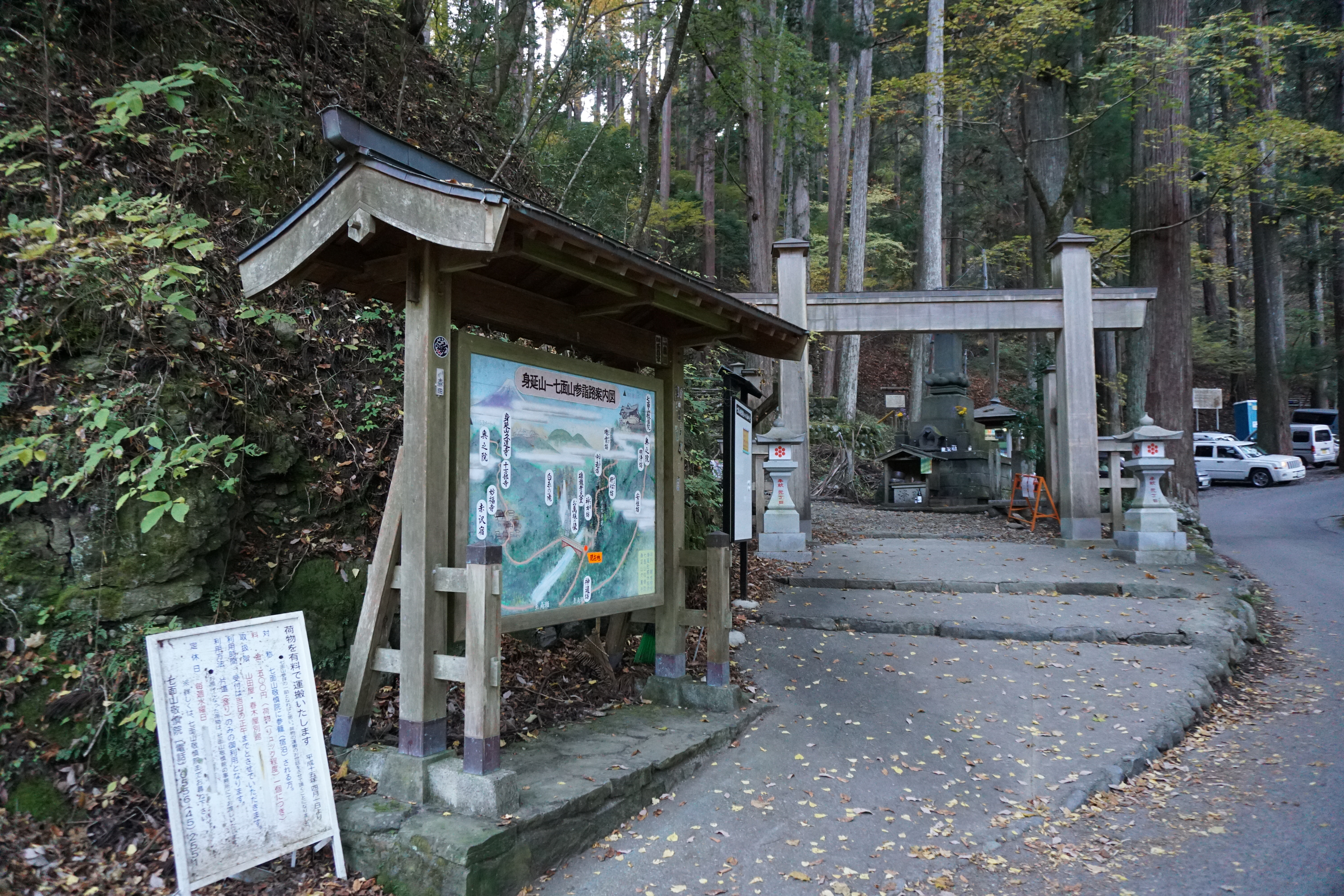
Shichimen-san Omotesando Route
Shiraito Falls(Omotesando mountain climbing entrance) Shinrikibo~Kanjin-bo~Chuteki-bo~Seiun-bo~Keishin-in~Shichimen-san~kibo-hou~Keishin-in~Mikageseki~Myojin-bo~Azumi-bo~Jintsu-bo(Kitasando-climbing entrance)
Technical level: A
Physical strength: 5
Difficulty: ★★★
Climb Mt. Shichimen-san from the omotesando (or temple approach) to Keishin-in Temple, which is the shortest route. Continue to the summit of Mt. Shichimen-san, and then go even further traveling south to Kibo peak. See the breathtaking view of the Southern Alps from the rarely seen eastern side of the mountain.
Mt. Shichimen trailhead/Access to Hagoromo
●Hiking Data
Itinerary: Day trip
Walking time: 9 hours 20 minutes (5 hours 5 minutes ascending, 4 hours 15 minutes descending)
Walking distance: 13.4 km
Cumulative elevation gain on ascent: 1691.7 meters
Hagoromo(Shiraito Falls/Jinriki-bo)

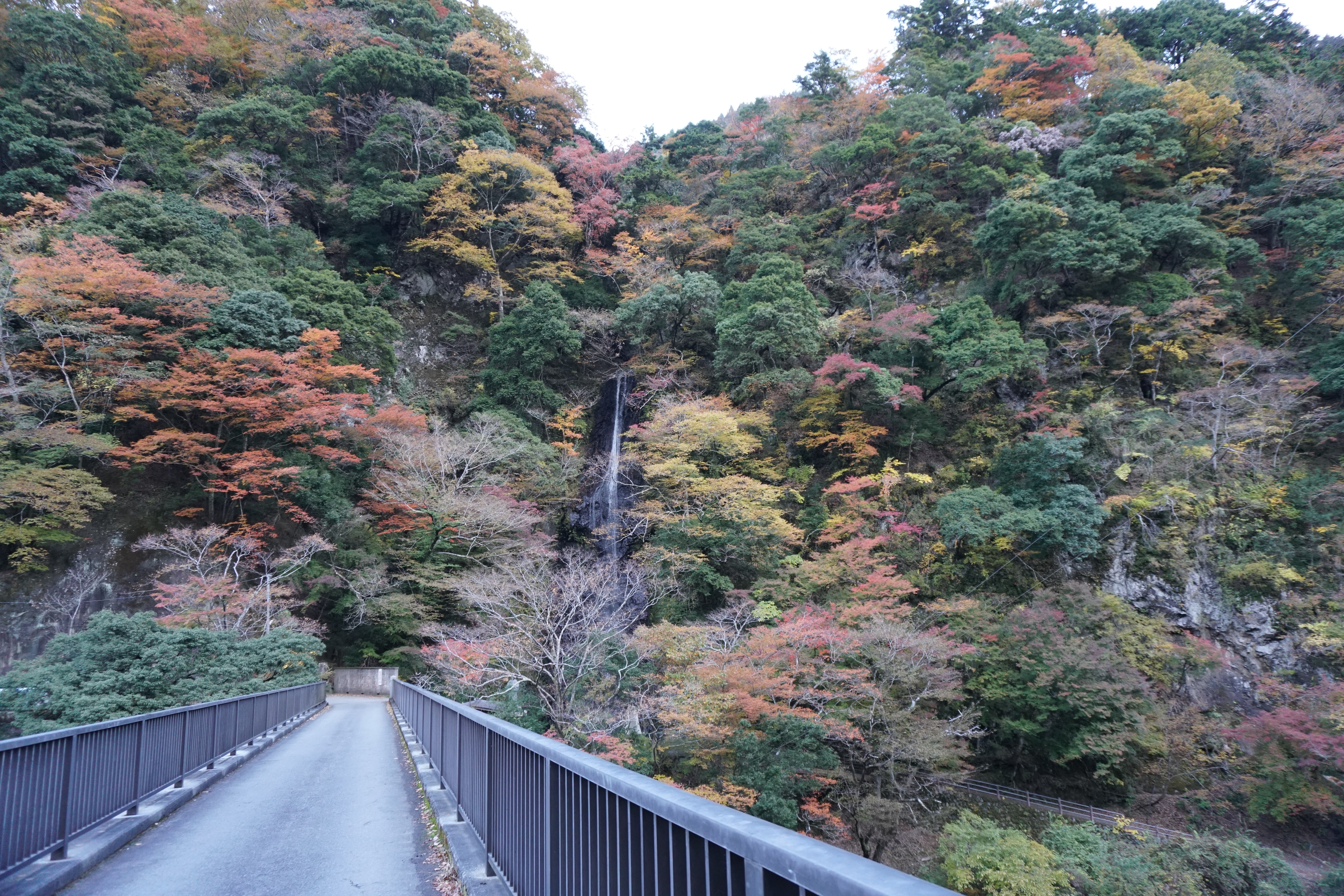
Elevation 500m
↓ 1 hour
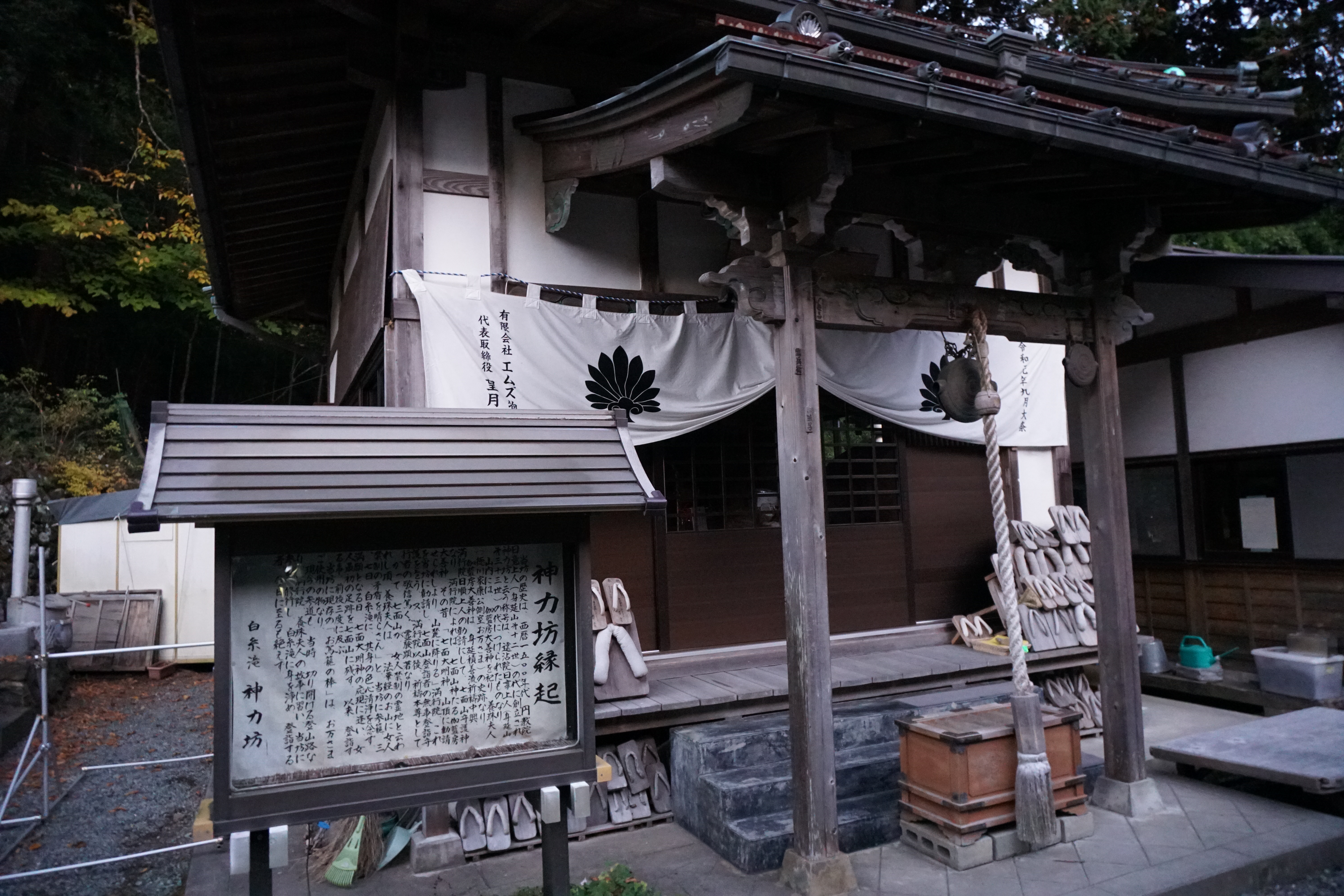
Kanjin-bo
Elevation 840m
↓ 35 minutes
Chuteki-bo
Elevation 1,067m
↓ 1 hour 5 minutes
Seiun-bo
Elevation 1,406m
↓ 1 hour
Keishin-in
Elevation 1,710m
↓ 1 hour
Shichimen-san
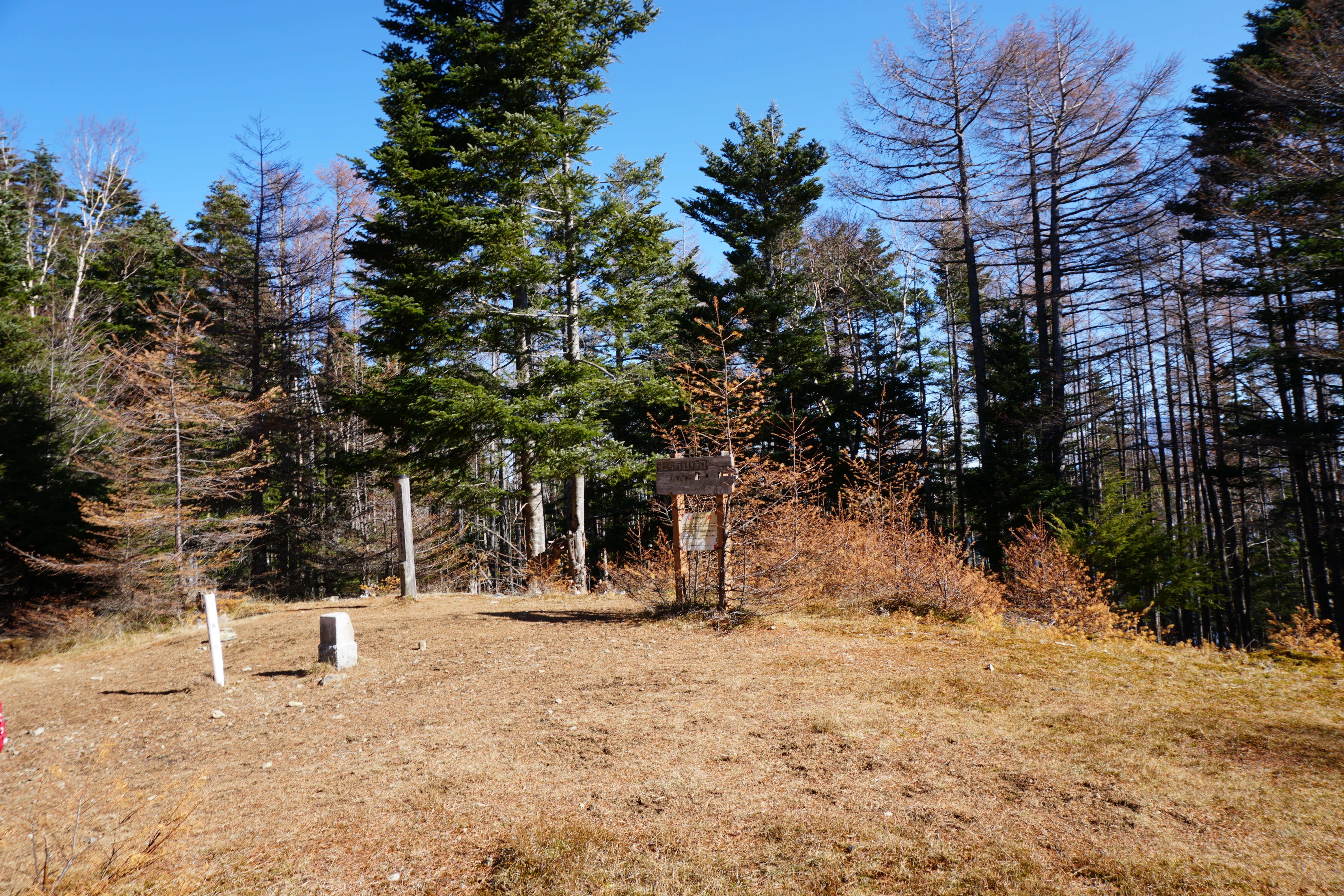

Elevation 1,989m
↓ 25 minutes
kibo-hou
Elevation 1,980m
↓ 1 hour10 minutes
Keishin-in
Elevation 1,710m
↓ 20 minutes
Okuno-in
Elevation 1,666m
↓ 1 hour 20 minutes
Azumi-bo
Elevation 1,000m
↓ 1 hour15 minutes
Sumis(Jintsu-bo)
Elevation 320m
Route Guide
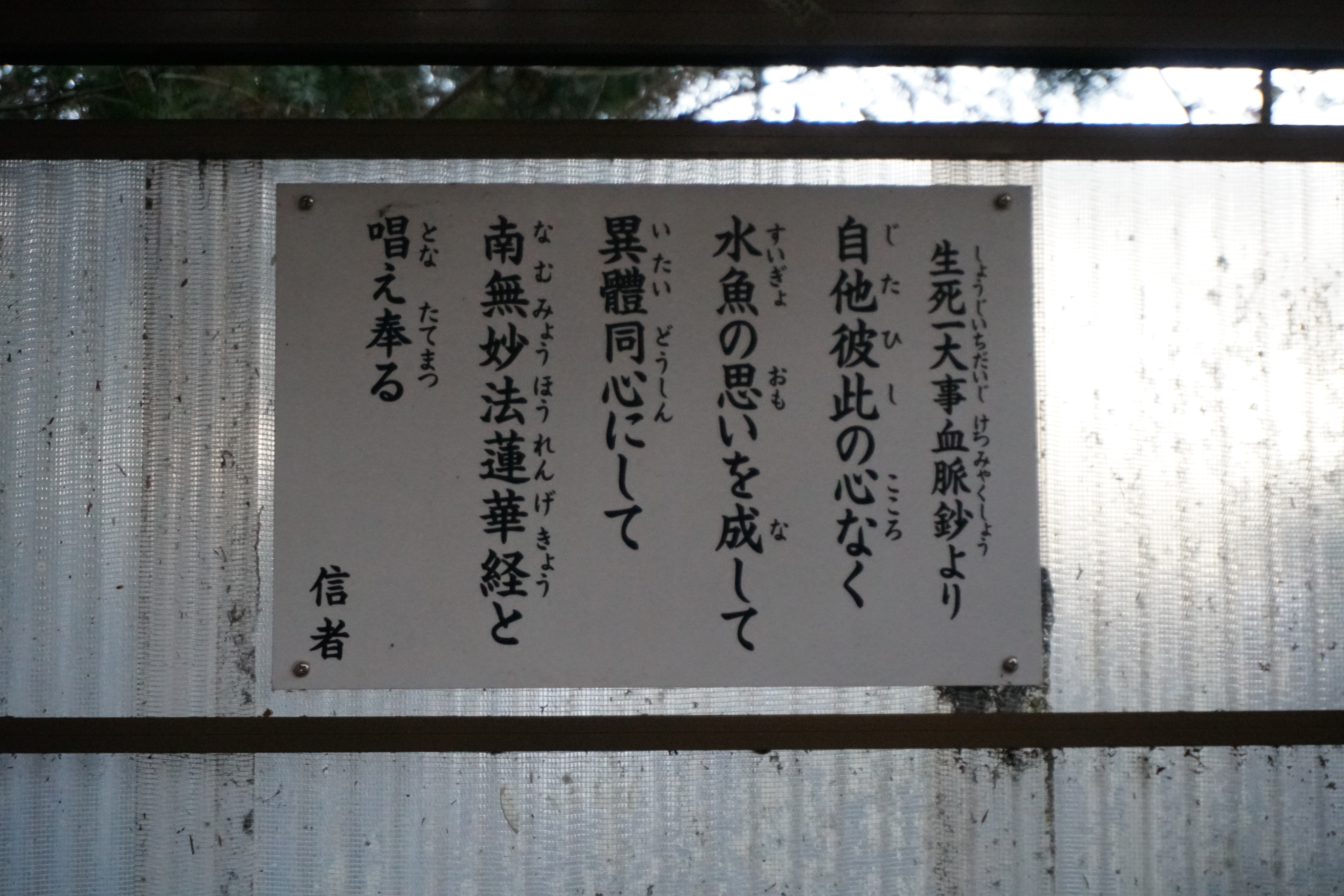
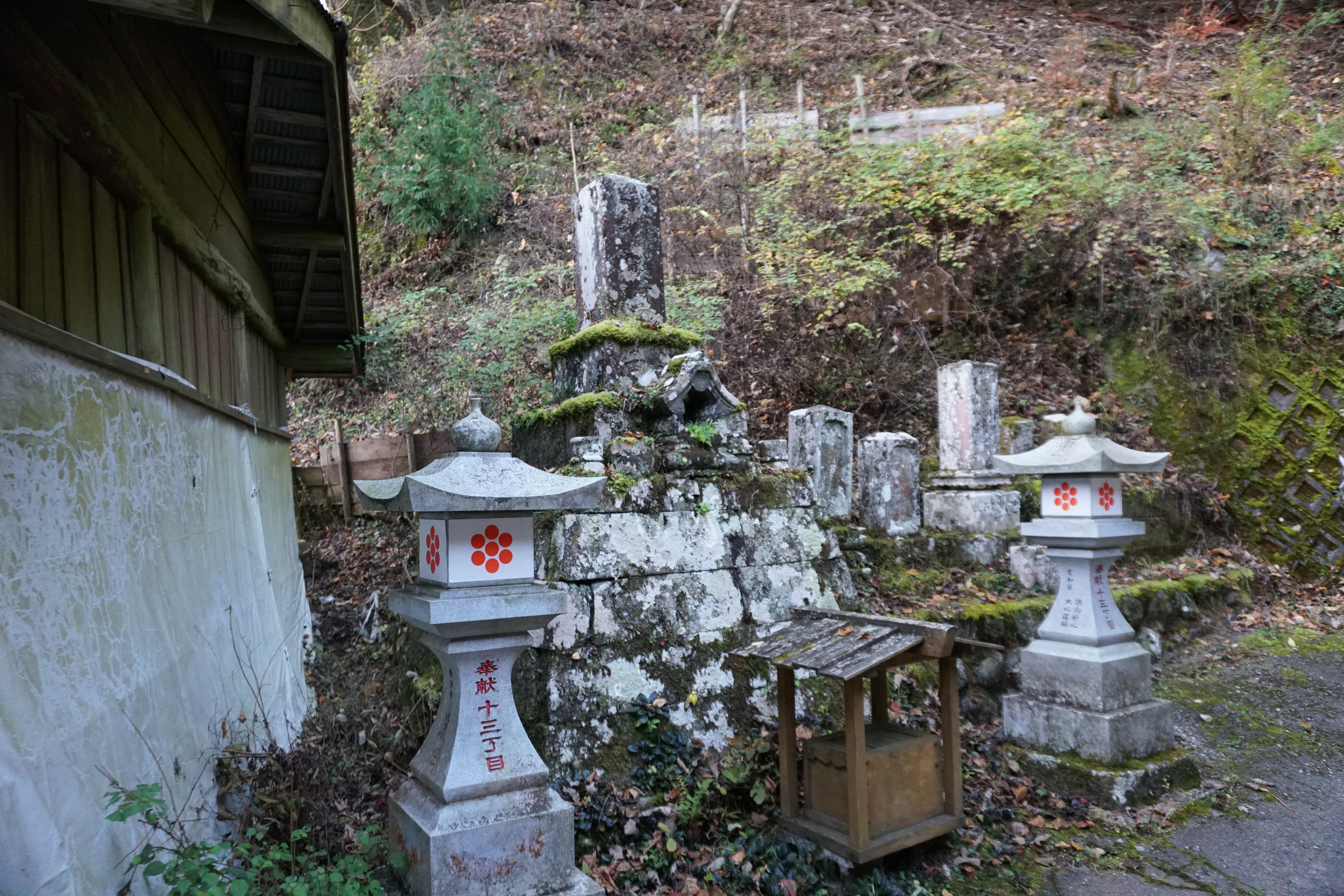
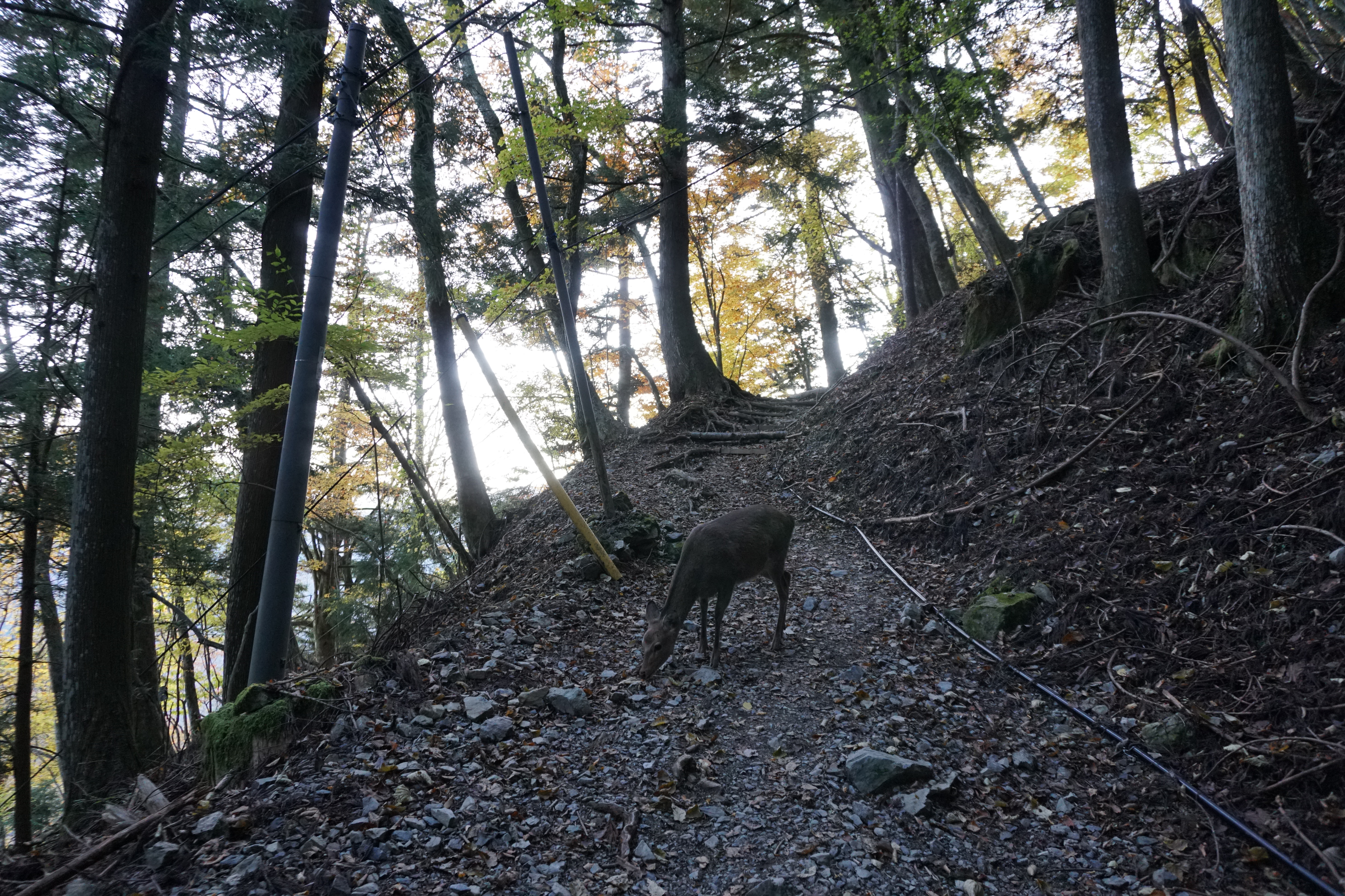
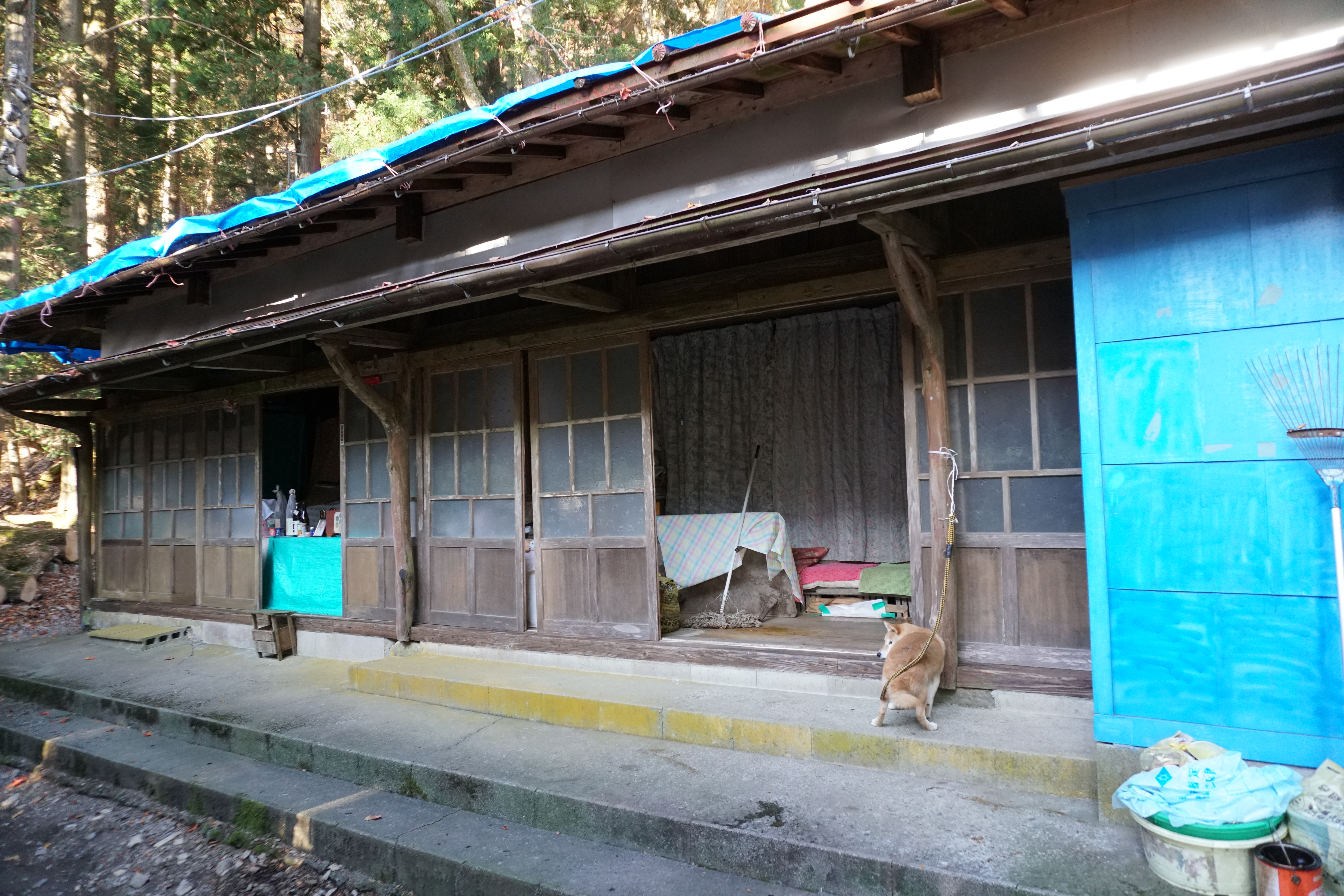
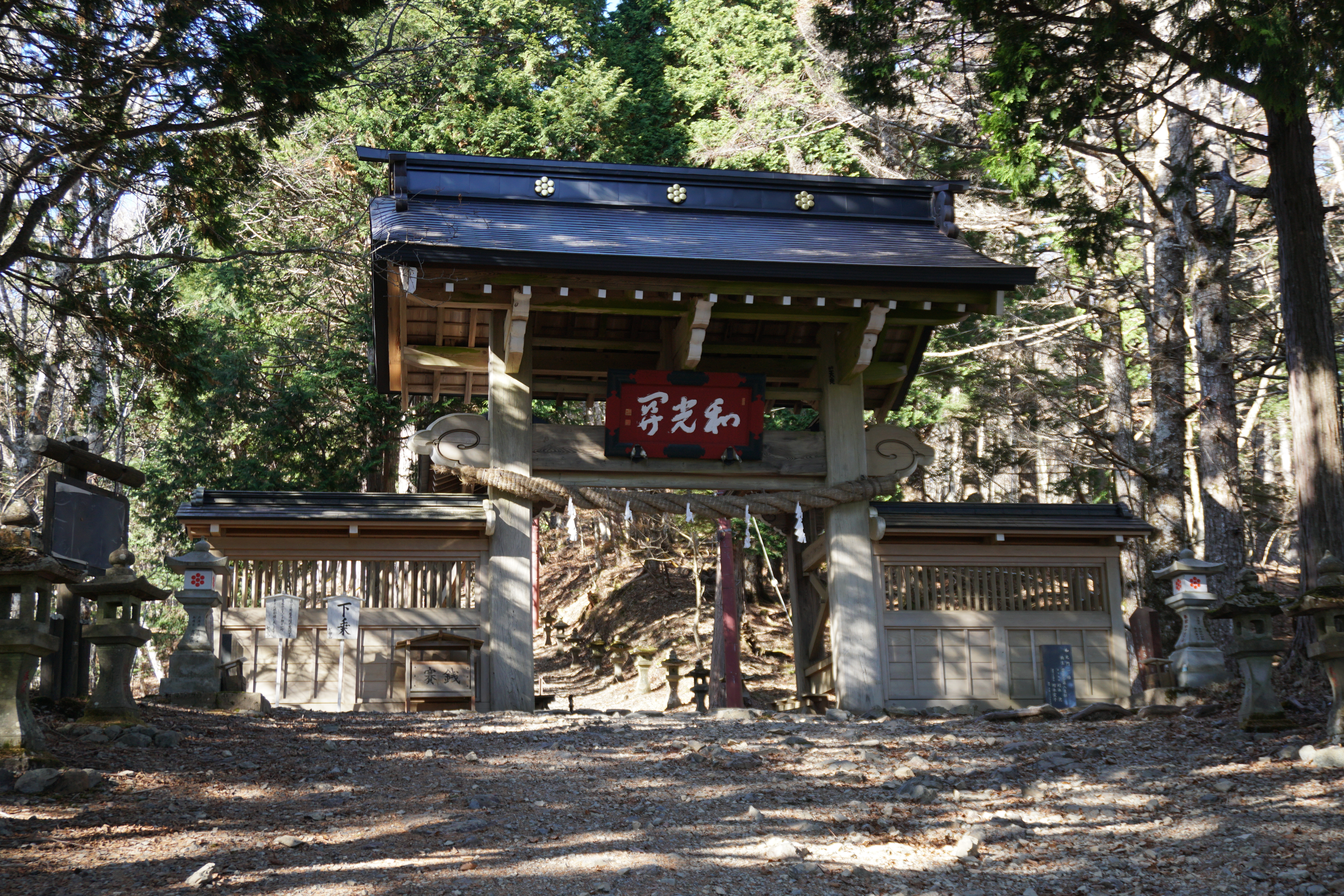
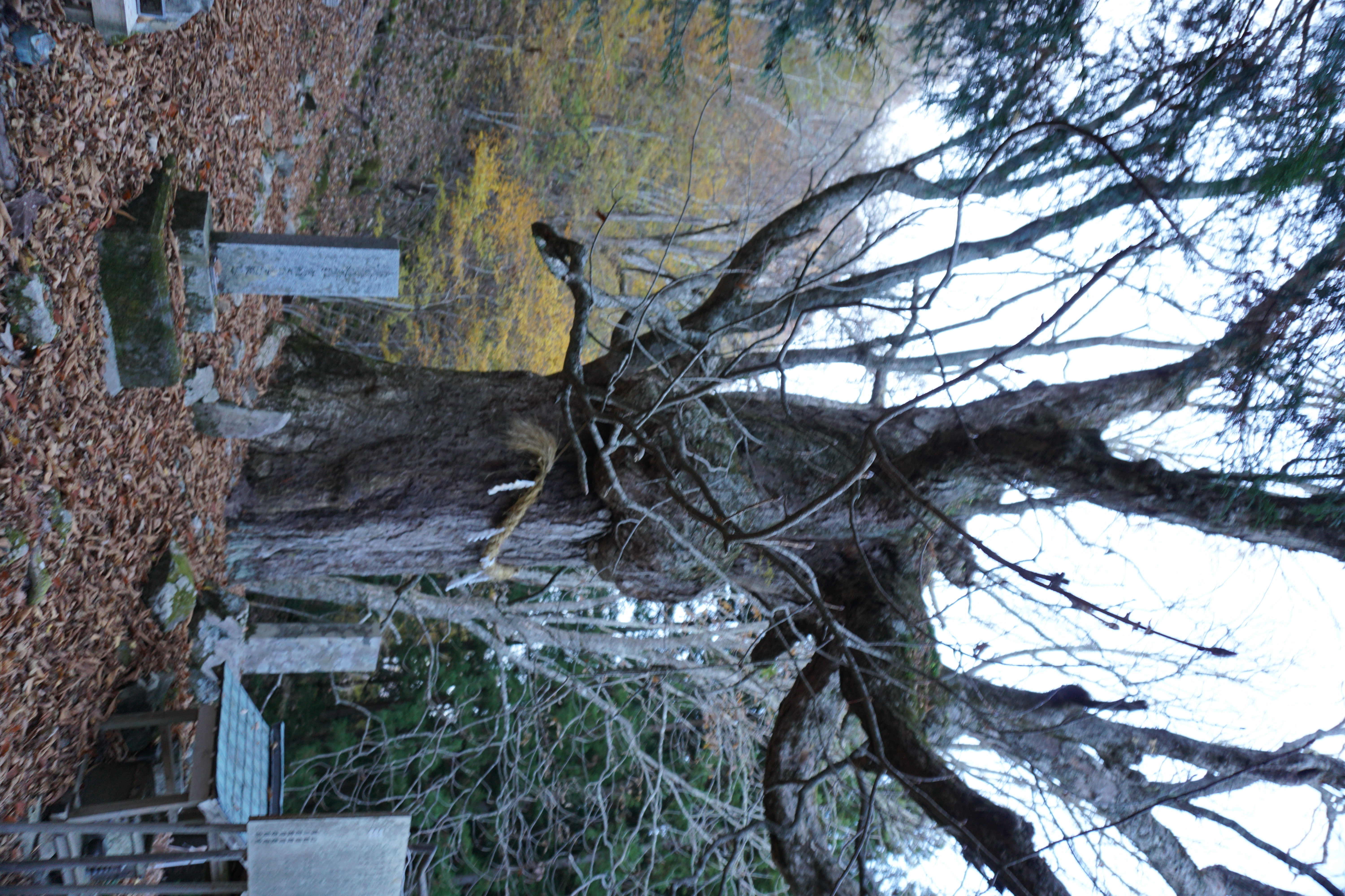
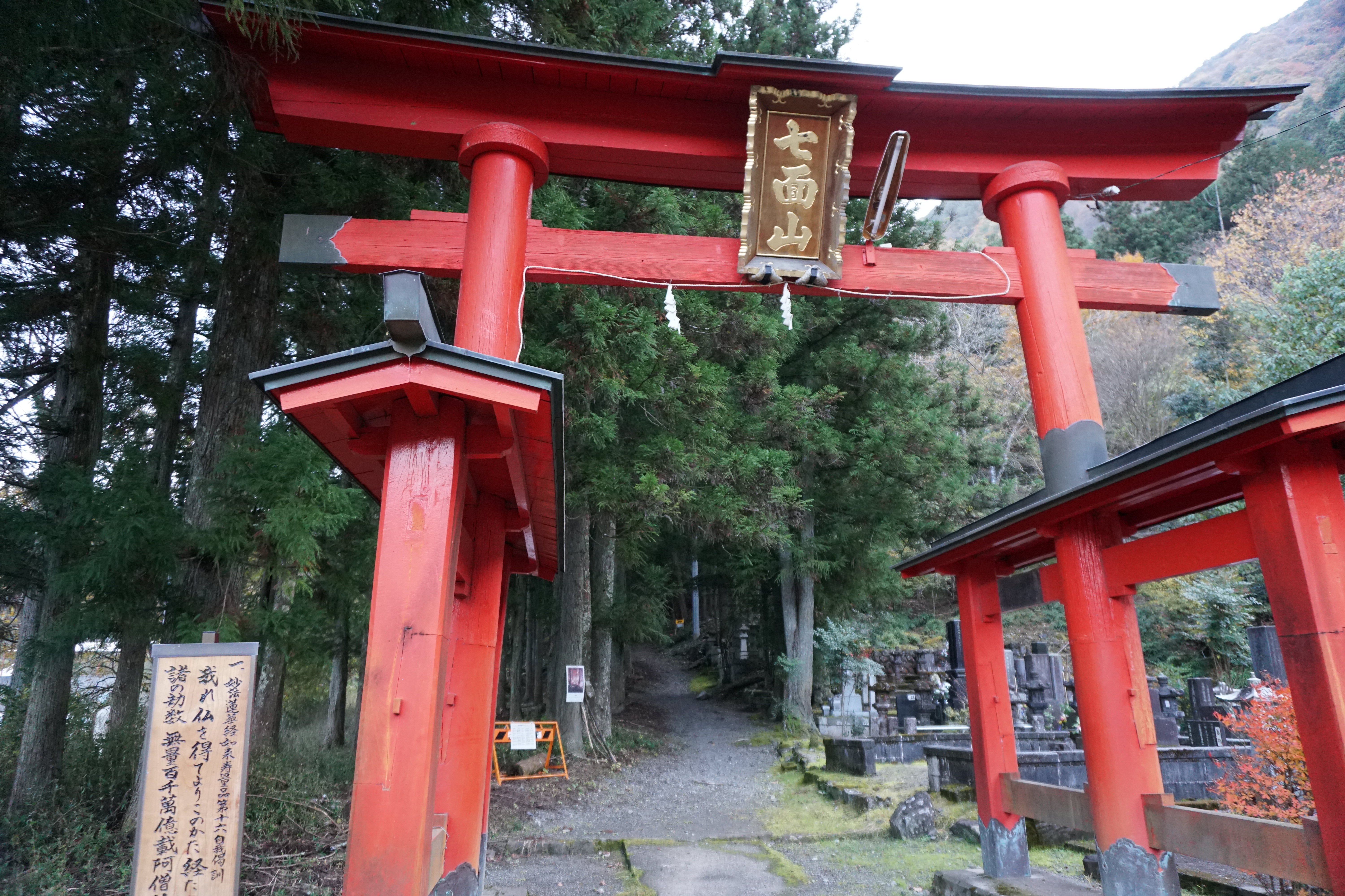
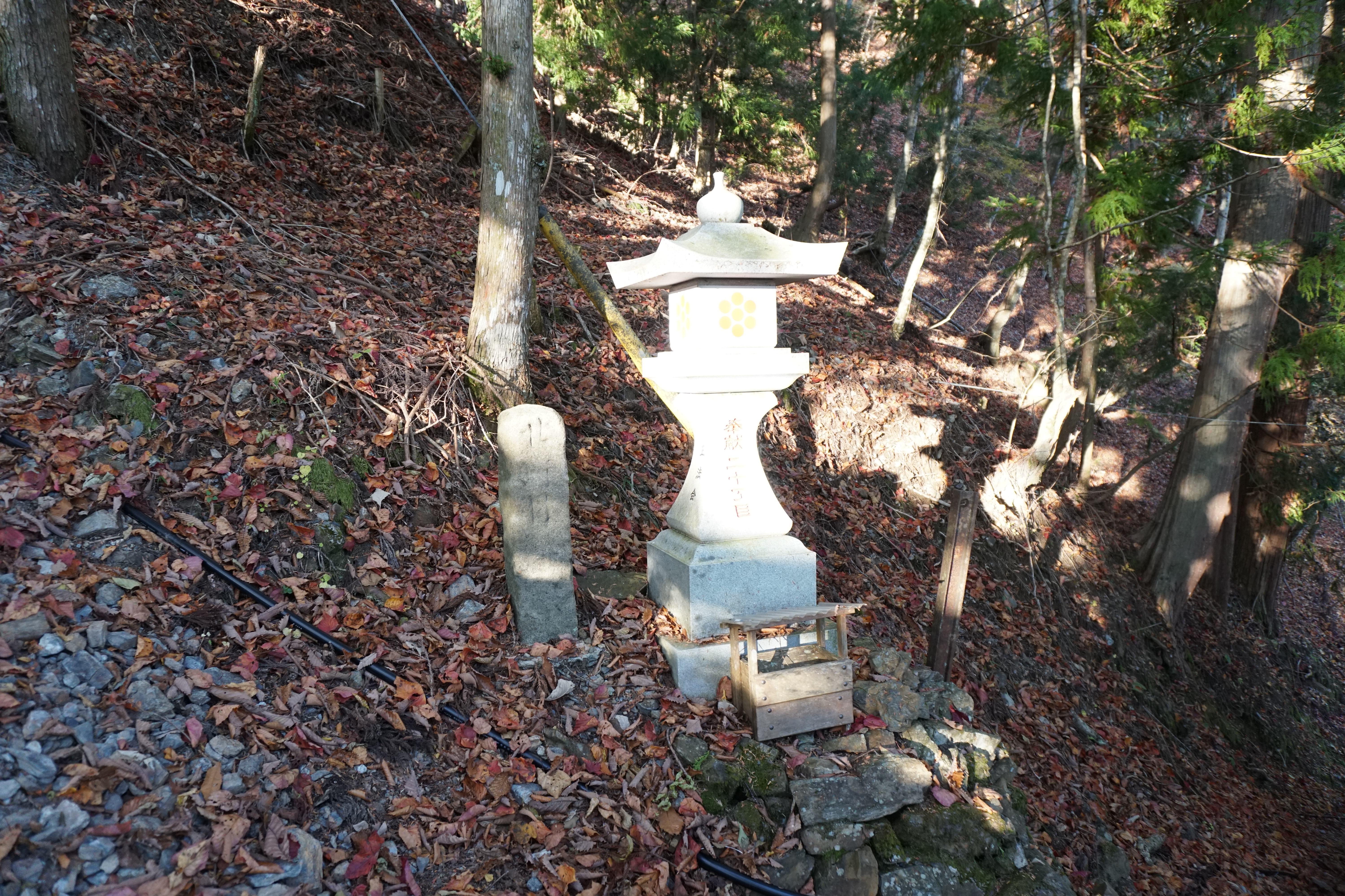
From the bridge, view the beautiful Shiraito Falls that drop into the Haruki River, which flows between the eastern slope of Mt. Shichimen-san and Mt. Minobu before entering the omotesando road from the Hagoromo trailhead. In ancient times, followers of Nichiren Buddhism would worship at Kuonji Temple’s Okunoin at the top of Mt. Minobu and descend on the western side of the mountain. They would then travel through Akasawa-juku post town, which is now designated as an Important Cultural Buildings Preservation District and climb Mt. Shichimen-san from the omotesando road here. Today, there are still many people, young and old, men and women alike, who make the pilgrimage to Mt. Shichimen-san. As a result, many considerations have been made for the pilgrimage path. One such consideration is dividing the path to Keishin-in Temple into 50 blocks, and each block is demarcated with a stone marker (the omotesando has stone lanterns). One block is a distance of 360 shaku, which is an old unit of measurement that today equals about 109 meters. When you have climbed past 10 -15 of these stone markers, you will reach lodgings for priests and pilgrims. These serve as accommodations for pilgrims as well as rest areas. The main feature of the path to Keishin-in Temple is that it is narrow with only enough space to walk, but there are no major slopes and instead it is a very long and winding road.
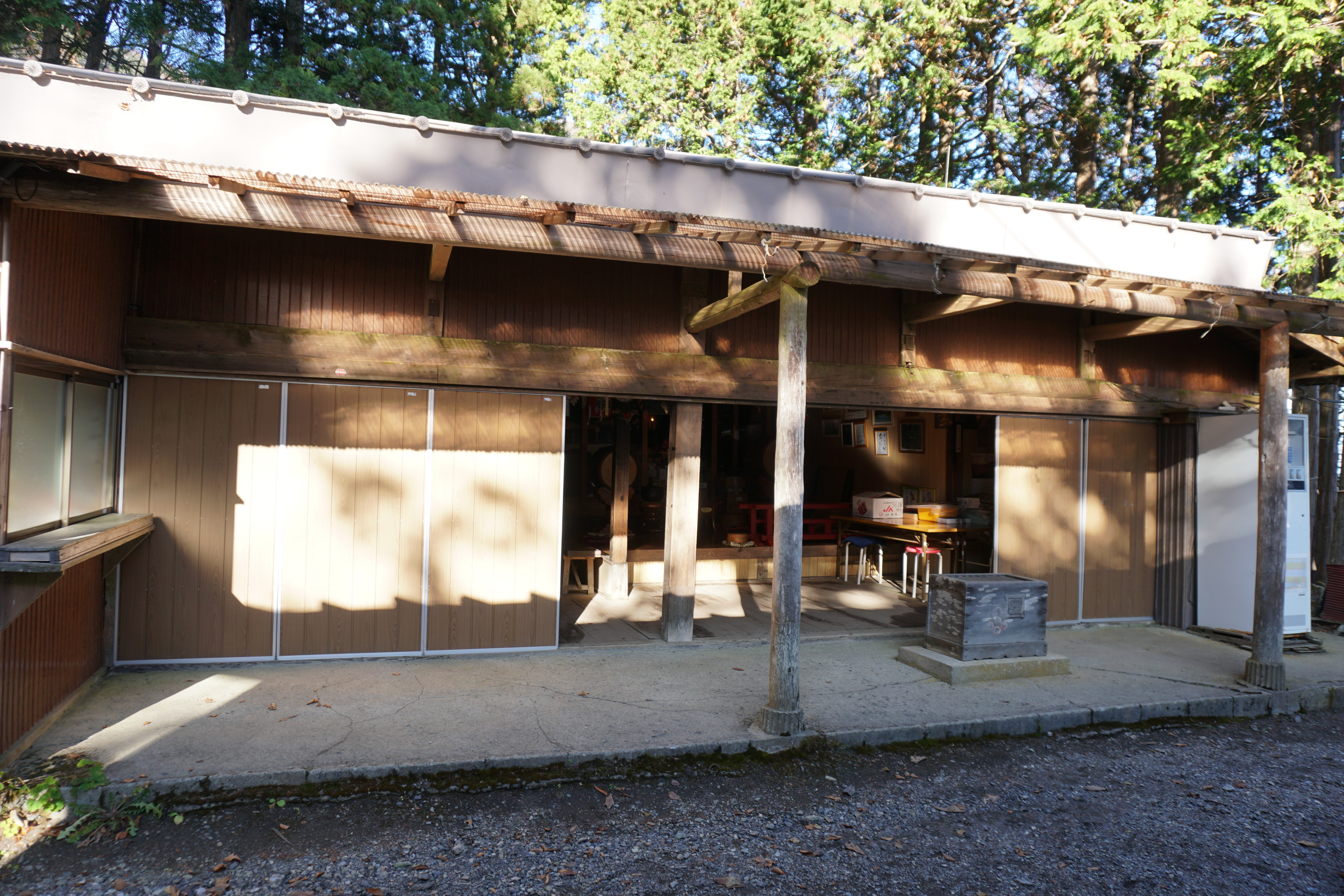
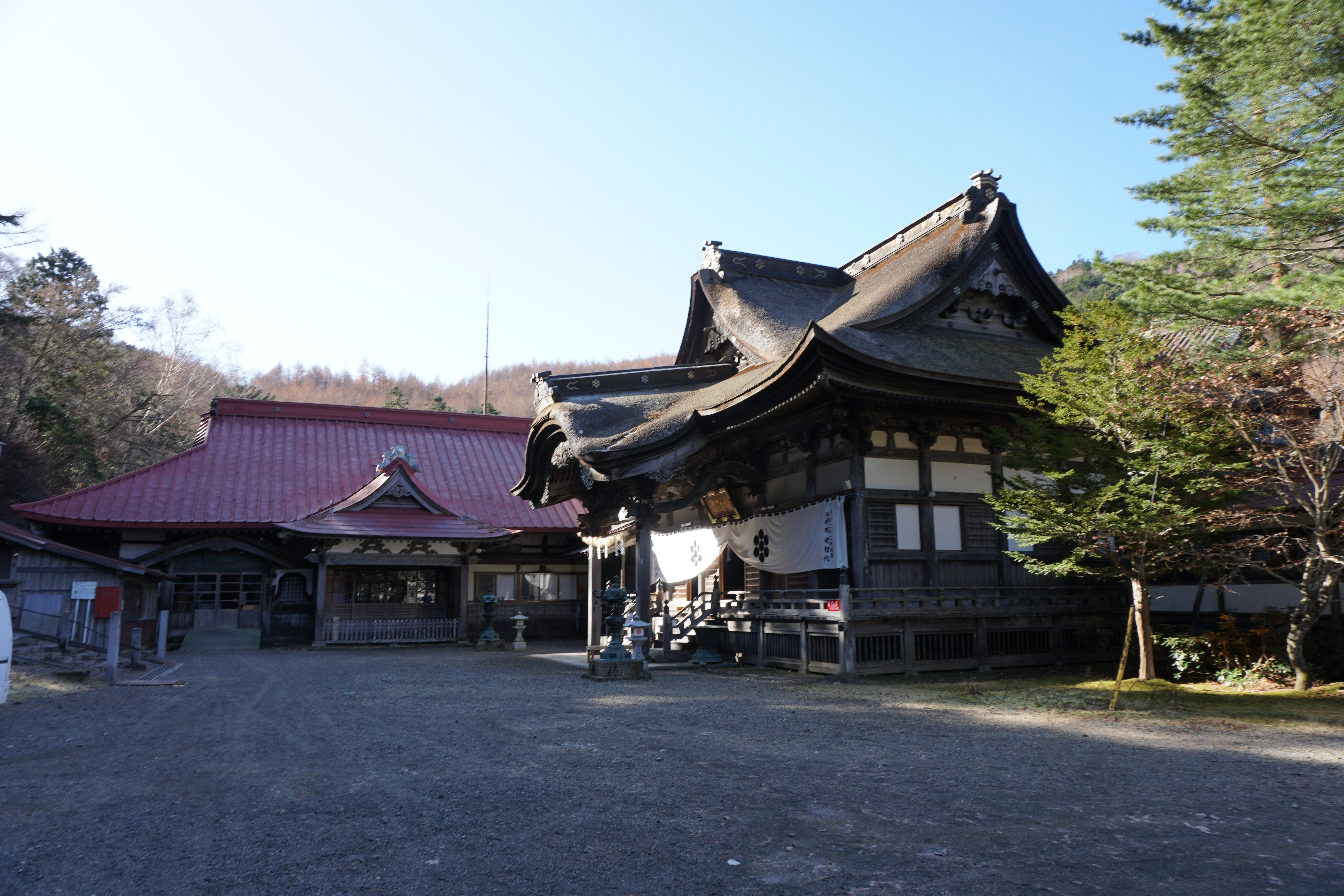
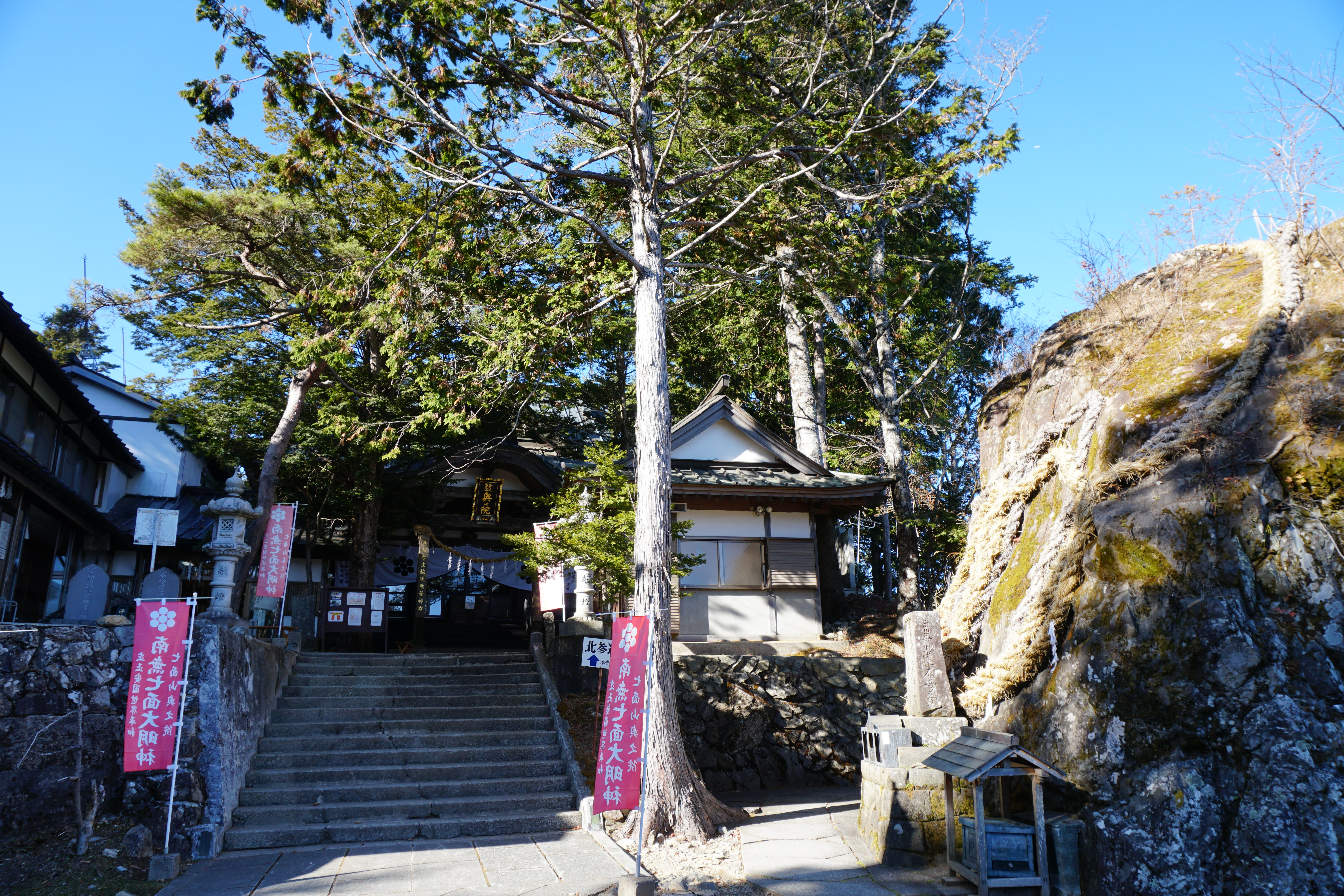
It takes approximately 3.5 hours to reach Keishin-in Temple. It is hard to believe that at such a high altitude, you have just arrived at a huge complex of temple buildings. There is a pilgrim lodging next to the building that houses the main hall where you can stay the night or just rest a little if you are day tripping. Someone there may offer you some hot tea. If you climb up the stairs from the main hall to the sanmon gate, the landscape opens up to the east, and if the weather is good, you can enjoy the stunning view of Mt Fuji only rewarded to those who climb this 2,000 meter peak that stands closer than any other mountain to Mt. Fuji.
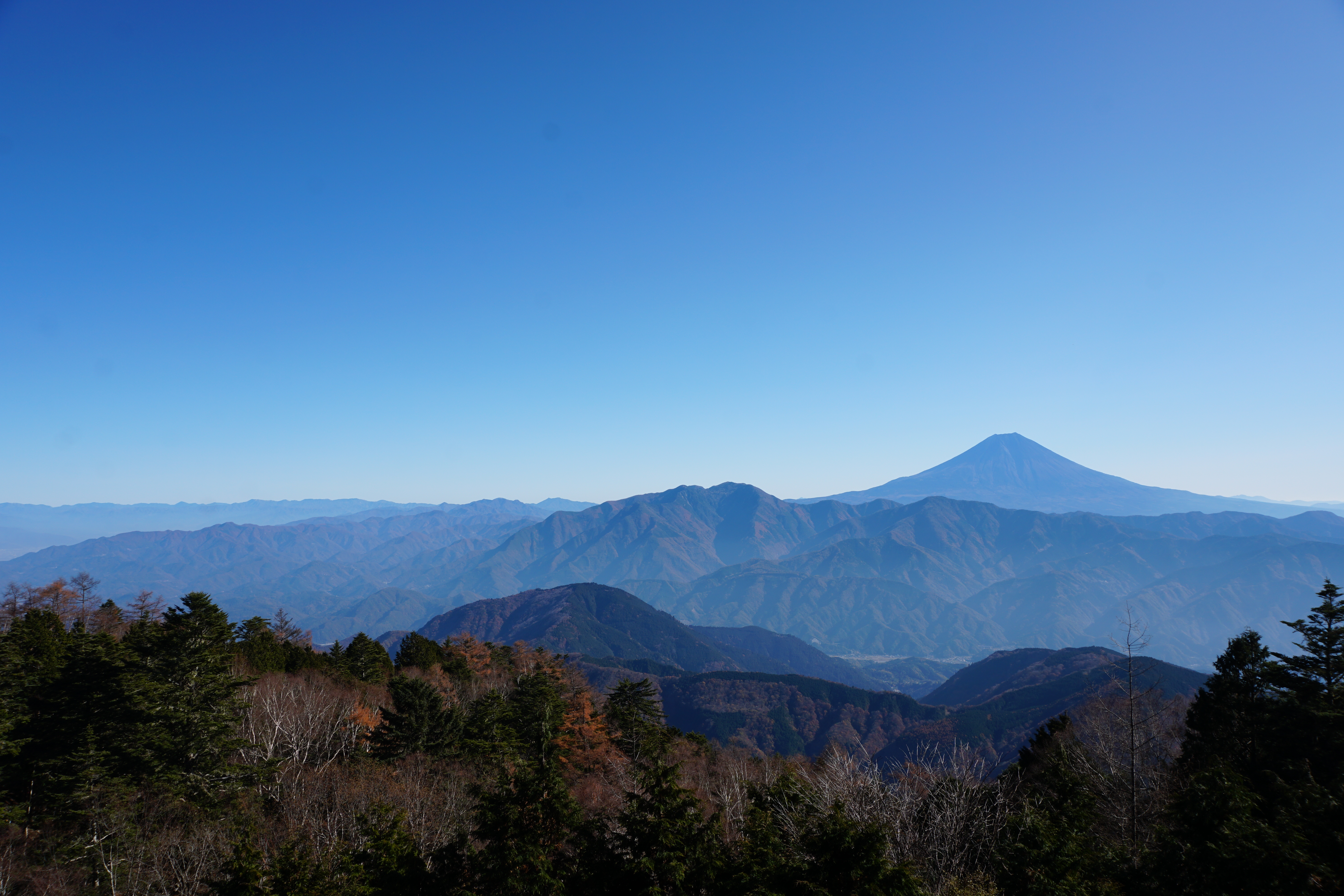
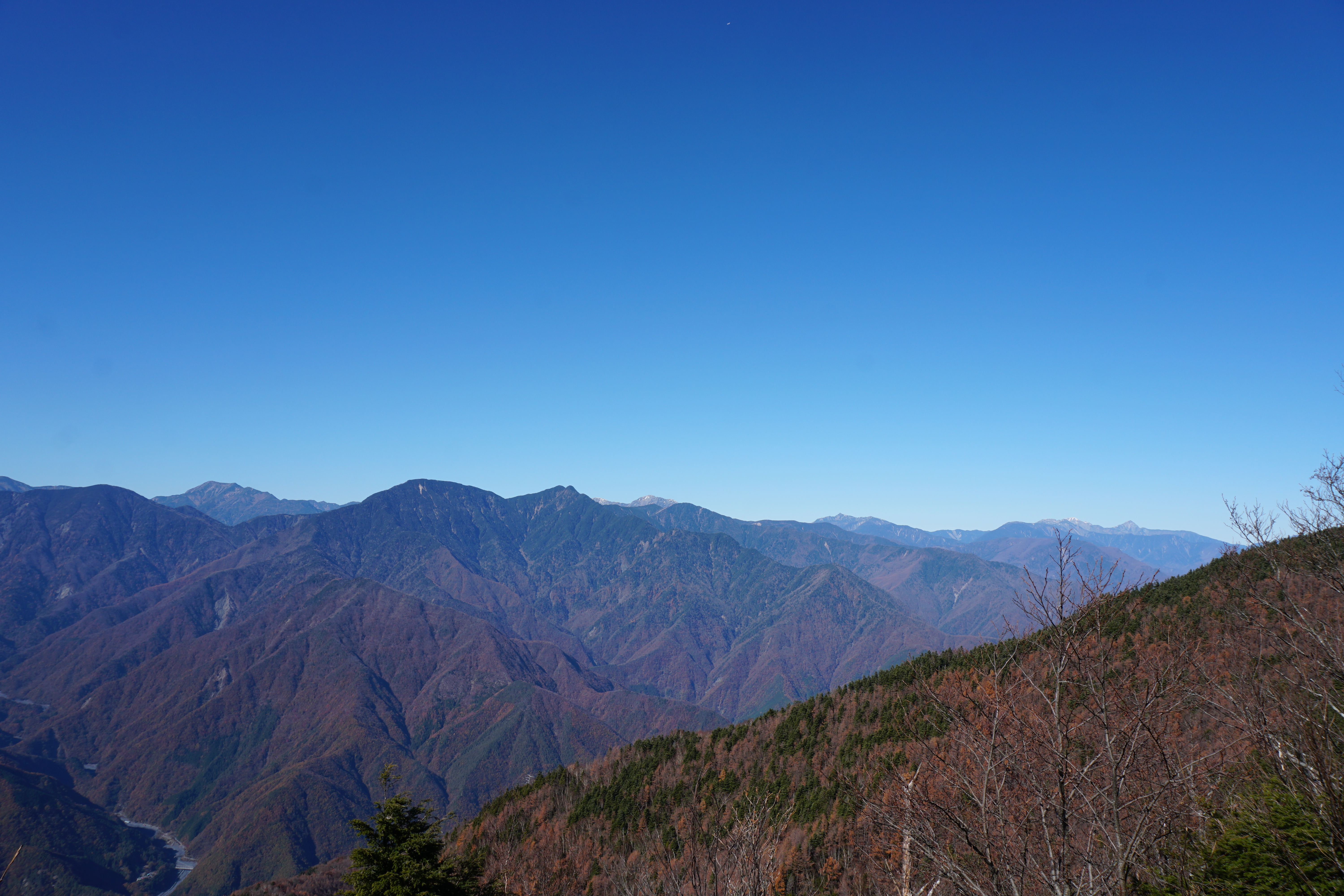
Once you pass Keishin-in Temple, you are close to the regular mountain hiking trail. After traveling through the quiet cedar forest with trees covered in lichens and making your way up some relatively steep inclines, in just under an hour, you will arrive at the summit of Mt. Shichimen-san, one of Japan’s 200 famous mountains. Unfortunately, there is no view from the summit, so let’s continue on a little further in the direction of Mt. Hakkorei. In less than 30 minutes of hiking up and down, you will arrive at the delightfully named Kibo peak, which means “hope.” This peak opens to the west, and from here you can see the Southern Alps stretching for more than 100 km starting with Mt. Kita-dake on the far right, and as you look to the left, it is followed by Mt. Aino-dake, Mt. Notori-dake, Mt. Shiomi-dake, Mt. Arakawa Higashi-dake, Mt. Zarugatake, Mt. Hijiri-dake, Mt. Kami-kochi-dake, and Mt. Daimugen.
The descent goes through Keishin-in Temple passing through the Okunoin, and down through the kitasando (northern approach) road. As with the omotesando on the ascent, there are stone markers and lodgings positioned along the road as milestones. However, after peak season, many of the lodgings close on this side of the mountain, so please make sure to check ahead of time if you would like to use them. From Keishin-in, the descent takes about three hours. This is a ridgeline route, so you may think it is easier than the omotesando, but the winding road actually has several steep slopes, so please keep in mind that this is not an easy descent. The path is mostly tree-lined, but compared to the omotesando, you can catch glimpses of the Southern Alps from time to time. Approximately three hours after passing Keishin-in Temple, you will arrive at Jintsubo Temple at the trail exit.