Arakawa-dake Roundabout Route
①Sawara-jima ~ Senmai-koya Mountain hut ~ Mt. Senmai-dake ~ Mt. Higashi-dake (Mt. Warusawa- dake ) ~ Mt. Naka-dake ~ Mt. Mae-dake ~ Arakawa-koya Mountain hut ~ Mt. Akaishi-dake ~ Sawara-jima
Technical level: D
Physical strength level: 8
Difficulty level: ⛰️⛰️⛰️⛰️
It is a long walk but mountain hiking can be enjoyed every day.
Access to Sawara-jima from Hatanagi Dam
●Hiking Data
Schedule: three nights and four days
Walking hours: 21 hours 5 minutes
(to Mt. Higashi-dake: 9 hours 10 minutes, From Mt. Higashi-dake to Sawara-jima: 11 hours 55 minutes)
Walking distance: 27.5 km
Difference in elevation: 3,359 m
Sawara-jima

Elevation 1,120m
↓ 6hours 35 minutes
Senmai-koya Mountain hut
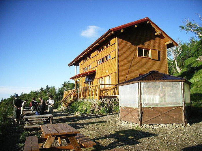
Elevation 2,565m
↓ 35 minutes
Mt. Senmai-dake

Elevation 2,880m
↓ 2hours
Mt. Higashi-dake (Mt. Warusawa-dake)
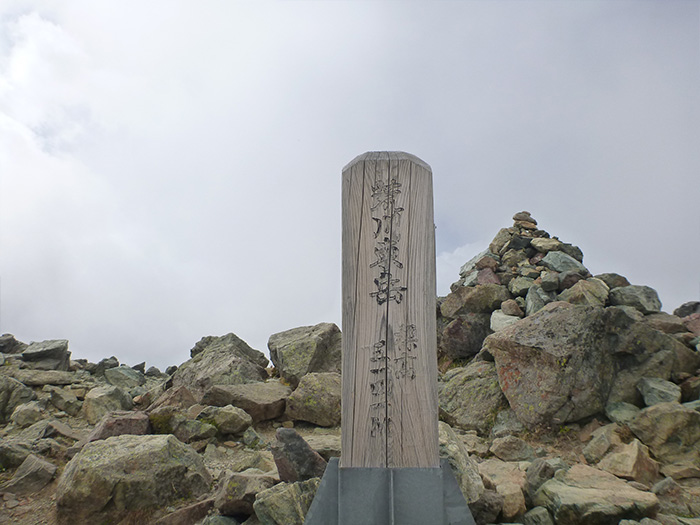
Elevation 3,141m
↓ 1hour 20 minutes
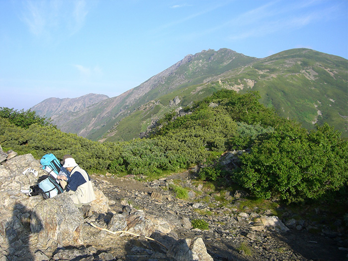
Mt. Naka-dake
Elevation 3,083m
↓ 15 minutes
Mt. Mae-dake
Elevation 3,068m
↓ 1hour 10 minutes
Arakawa-koya Mountain hut
Elevation 2,652m
↓ 2 hours 50 minutes
Mt. Akaishi-dake

Elevation 3,120m
↓ 6hours 20 minutes
Sawara-jima
Elevation 1,120m
Route Guide
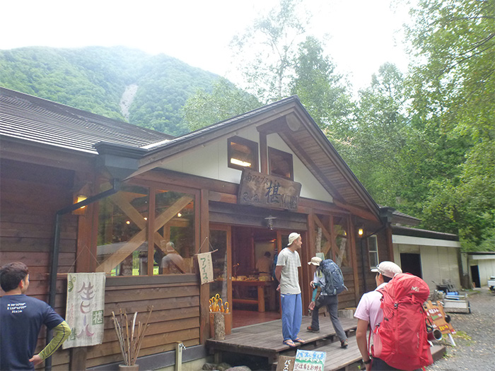
This route is set for one night in Sawara-jima for the day before the hike and two nights in the mountains. If you are not comfortable with your physical strength, you may schedule three nights in the mountains. Climb through Sawara forest from the side of the maintenance office at Sawara-jima. Follow a logging road, which is reached shortly. This leads to Niken-koya lodge. Takimi bridge is reached in about 10 minutes. From here, leave the logging road and follow the sign to Mt. Senmai-dake.
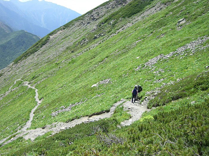
Cross a hanging bridge and enter a ridgeline, which is a gradual trail along the mountain slope. Elevation is gained gradually. After that, proceed by walking the logging road or climbing a steep slope on the ridgeline. Pass a few stepwise zones and Koishi-shita is reached. From here, a gradual slope-trail continues to Shimizu-daira, where a place to replenish one’s water supply is located. After Shimizu-daira, the trail becomes steep. Pass Warabi-dan, where a triangulation point is set, and Miharashi-dai is reached. The view becomes open for the first time, where Mt. Akaishi-dake and The Arakawa Three mountains can be seen. The trail reaches Komadori-pond when it enters a swamp. From here, Senmai-koya Mountain hut, where you will stay for the night, is reached in about 45 minutes.
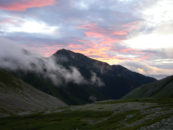
Start early on the next day. The purpose of an early start is to view the sunrise at Mt. Senmai-dake. From Mt. Senmai-dake, a heavy-looking Mt. Akaishi-dake and Mt. Hijiri-dake can be seen. From the summit, the trail continues to be rocky. It should not be too dangerous if walked carefully. The saddle is known as a habitat of Silene keiskei. After climbing the rocky zone and when the trail merges onto the wide ridgeline, a flower field of Miyamashi-ogame and Megogomegusa spreads out. The summit of Mt. Higashi-dake (Mt.Warusawa-dake), the highest peak among the southernmost Japan Alps, is reached after a few ups and downs along rocks after passing Mt. Maru-yama. From the summit, where huge rocks are piled up, Mt. Shiomi-dake, Mt. Akaishi-dake, and Mt.Fuji-yama can be seen. Proceed on the rocky ridgeline with great views. Mt. Naka-dake is reached when passing Naka-dake emergency shelter. Leave the narrow summit then descend to the saddle between the summit and Mt. Mae-dake. From the saddle, Mt. Mae-dake is reached in 5 minutes. The west slope is a large curled shape with a variance in elevation of 600 m. The big shape of Mt. Akaishi-dake can be seen in front of you. Return to the saddle and descend through the slope where a flower field spreads out. There is a place to replenish one’s water supply along the trail, however, it may get dried up sometimes, so you need to be careful. When a building comes in sight, that would be Arakawa-koya Mountain hut, where you will stay for the night. On the next day, you will hike up to Mt. Akaishi-dake and descend to Sawara-jima. It is recommended that you go to bed early.
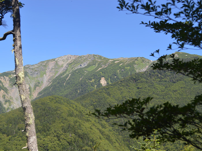
Please start early on the final day as well. Proceed on the comfortable and stretching ridgeline. It ascends slightly. If you follow a traversing trail, that would lead you to Daisyouji-daira. Climb a rocky ridgeline towards Mt. Ko-akaishi-dake. When looking back, you can see The Arakawa Three Mountains, sitting nicely. This is a great place for a view. Mt. Ko-akaishi-dake is reached at the end of a steep slope from the shoulder of Mt. Ko-akaishi-dake. From here, proceed to the Sawara-jima descending point. Mt. Akaishi-dake is reached in about 30 minutes from the descending point. Shortly after descending, stands an emergency shelter. The summit of Mt. Akaishi-dake is spacious and the first triangulation point is placed. The Arakawa Three Mountains, Mt. Senjo-gatake, and Mt. Aino-dake can be seen. During sunny days, mountains in the Nikko area can be spotted as well. Return to the Sawara-jima descending point and descend to Sawara-jima. Walk on Higashi o’ne, where a flower field spreads. The trail ascends gradually to Fujimi-daira, where a 360 degree view can be enjoyed. From Fujimi-daira, the trail descends to Sawara-jima. From Akaishi-koya Mountain hut, there will not be great views along the trail. Focus on walking and walk carefully to prevent falling.