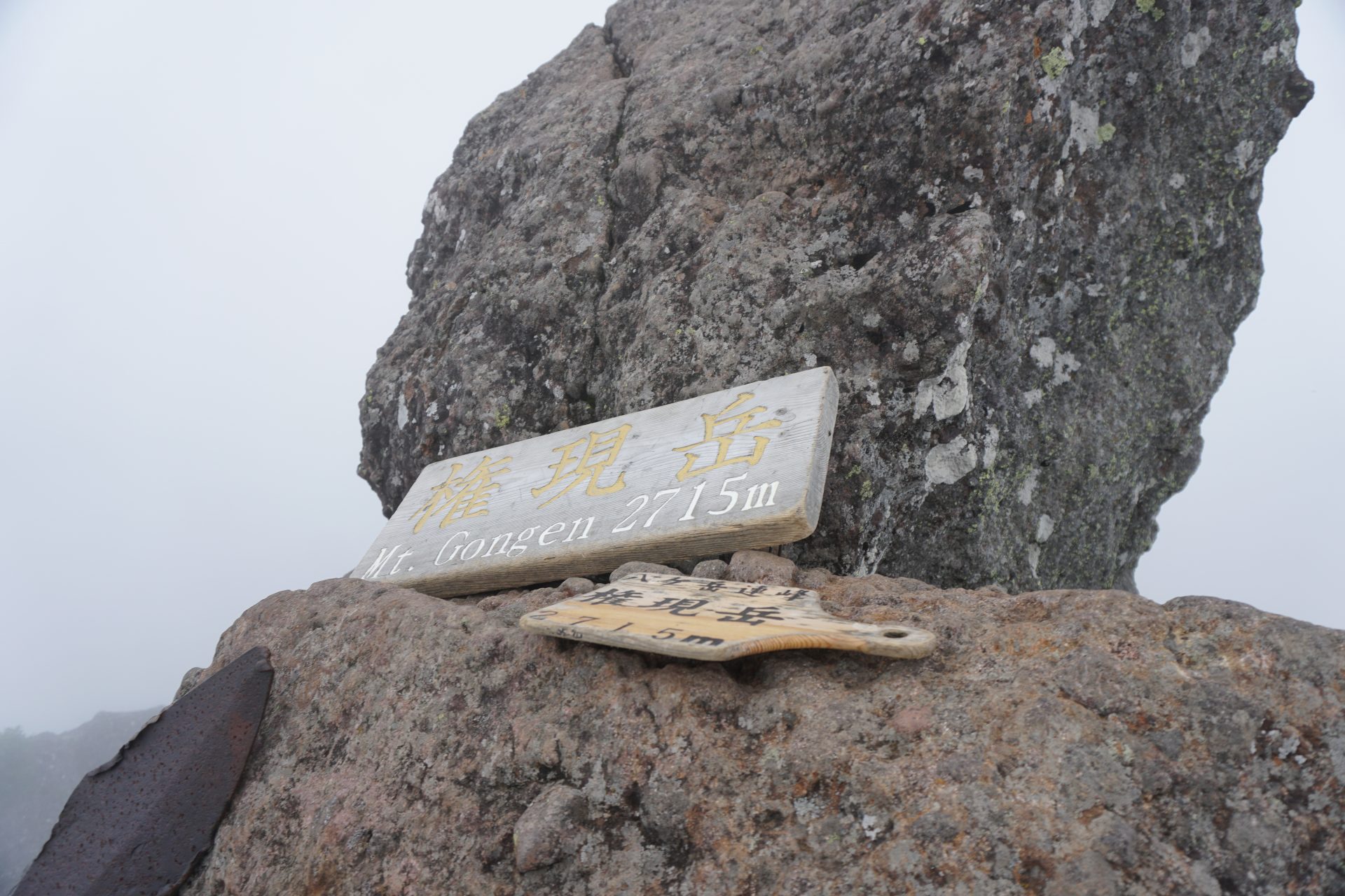
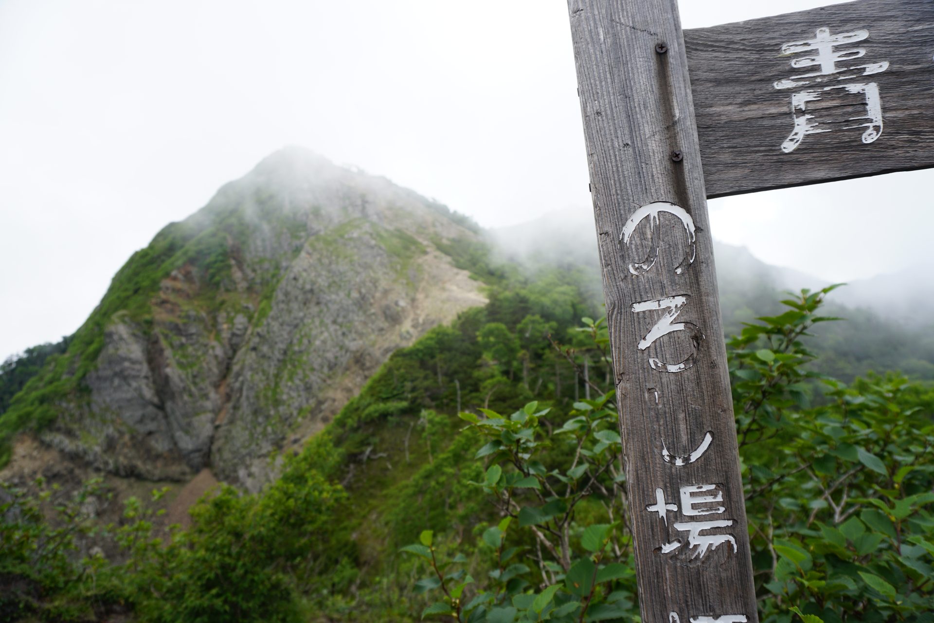
Mt Gongen-dake, also called Himine in ancient times, has been climbed as a mountain of faith since the Heian period (794-1185), according to the legend of Himine Shrine on the summit. According to records, Akadake, the highest peak in the current Yatsugatake mountain range, was founded unexpectedly in the Edo period (1603-1868), so it is possible that Mt Gongen-dake was the main peak of the Yatsugatake mountain range from ancient times. Mt Nishidake is also located almost directly west of Mt Gongen-dake as the main peak, so it probably seems more natural to think so. There is a peak on the route with a good view that is said to have been a place to raise a smoke signal during the Warring States period, and it is good to think about what kind of smoke signal was raised here at that time from the view of the peak.
The southern part of Yatsugatake is the closest to the village, and the mountains are named after each other from both the Kai and Shinano sides. There are many other mountain names that tell of religious worship, such as Kokuzoudake, Jizodake, Yakushidake, and Gihoushidake.
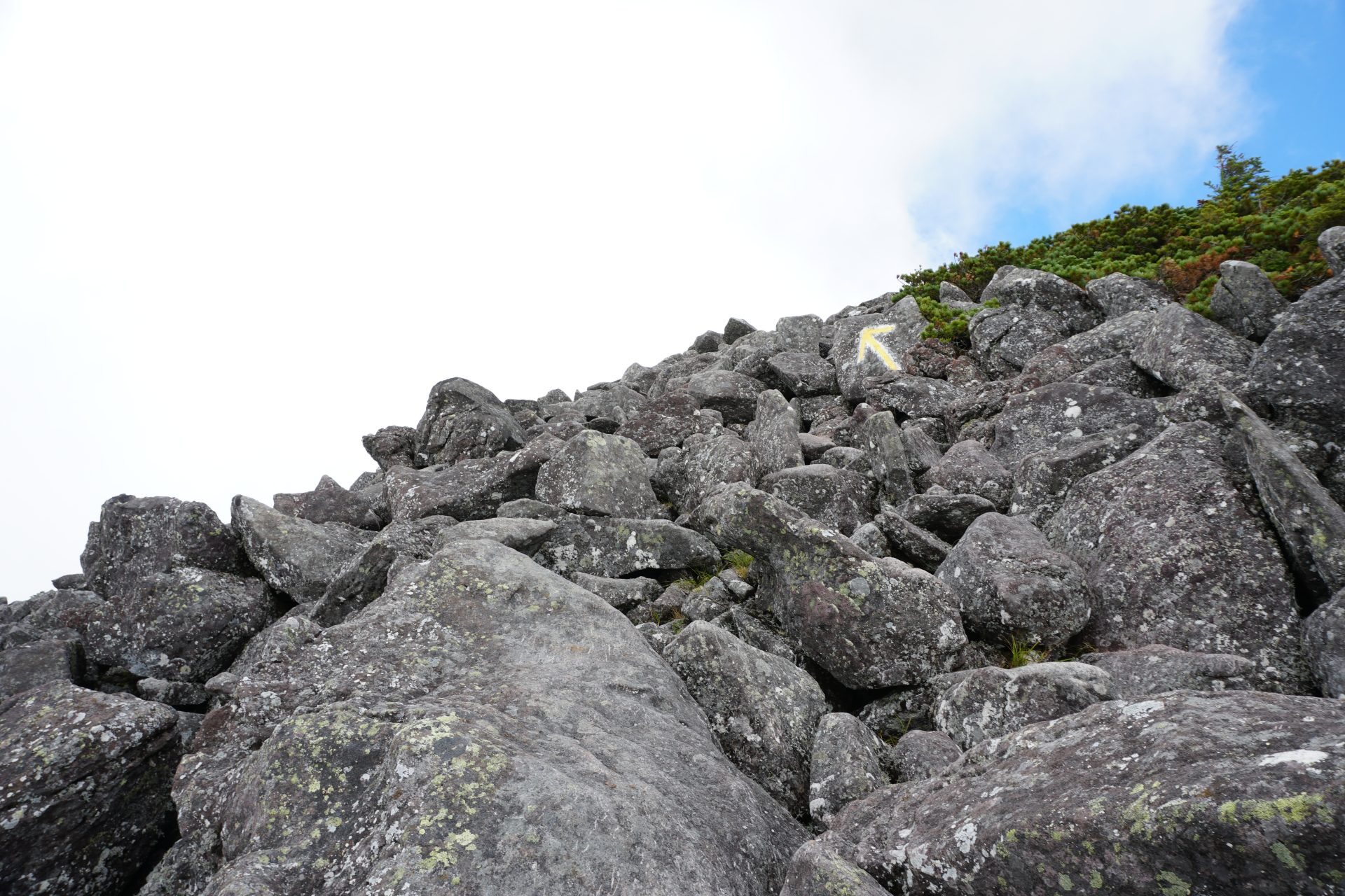
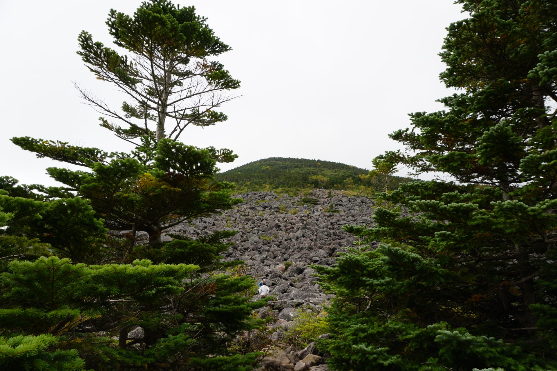
Mt. Amigasayama, on the other hand, is located at the southern end of the mountain range, and is thought to have been so named because of its gentle, hatchet-like appearance. However, this gentle mountain is not what it looks like; it is a massive rocky peak with large boulders piling up as you approach the summit. Many people recommend this peak for beginners, but if you underestimate it, you will be in for a world of pain.
Mt Yatsugadake (Mt. Gongendake): Elevation 2,715 m
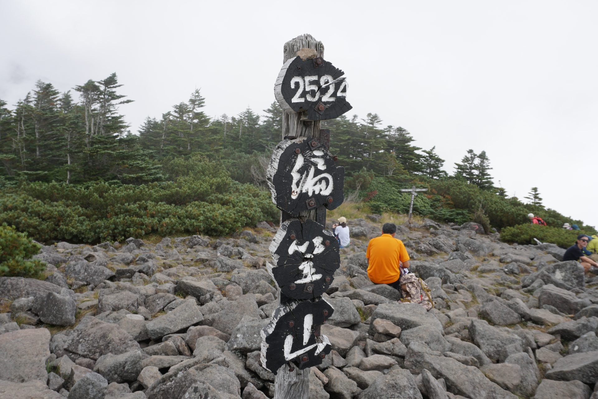
Mt Yatsugadake (Mt. Amigasayama): Elevation 2524 m
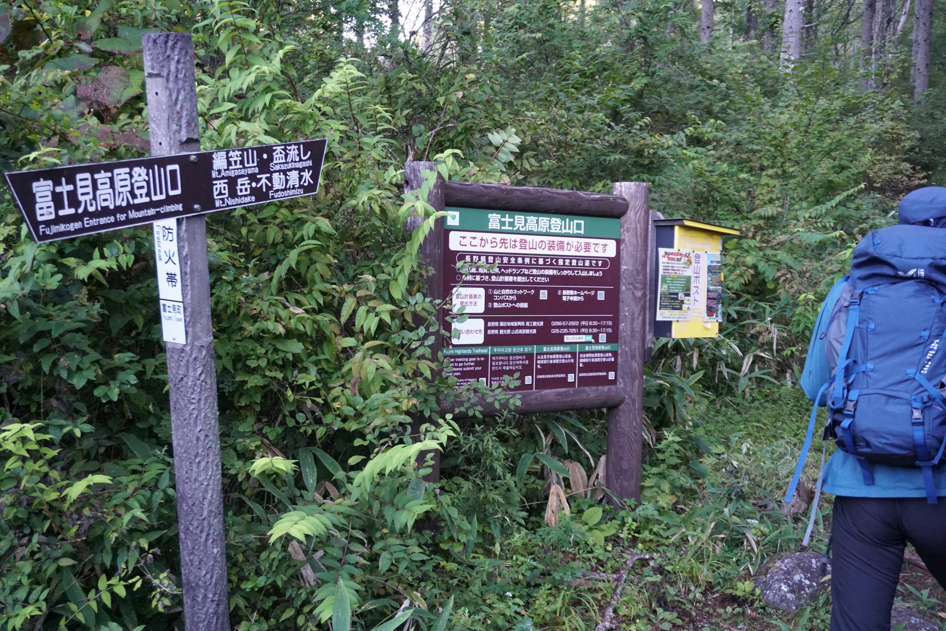
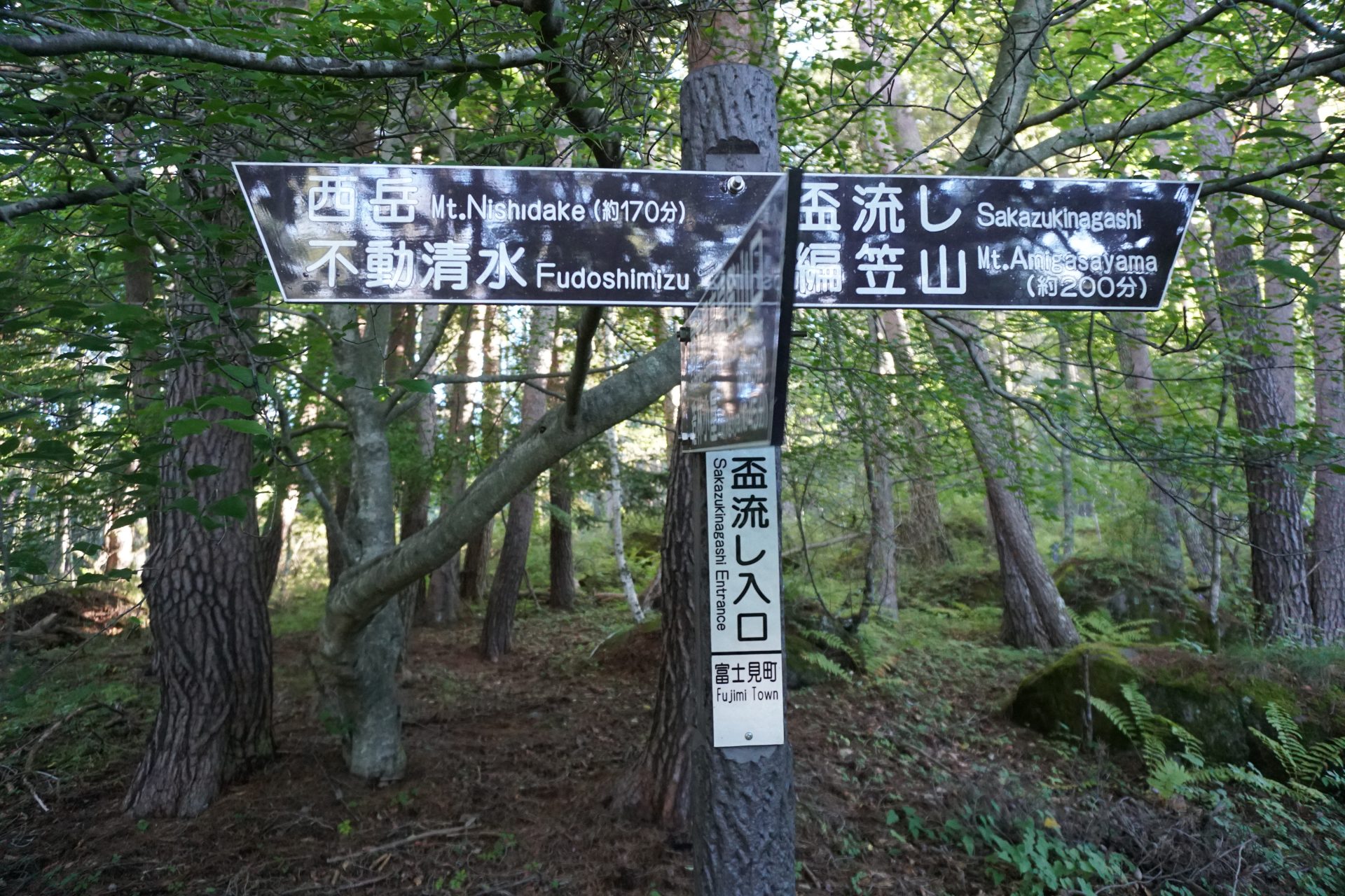
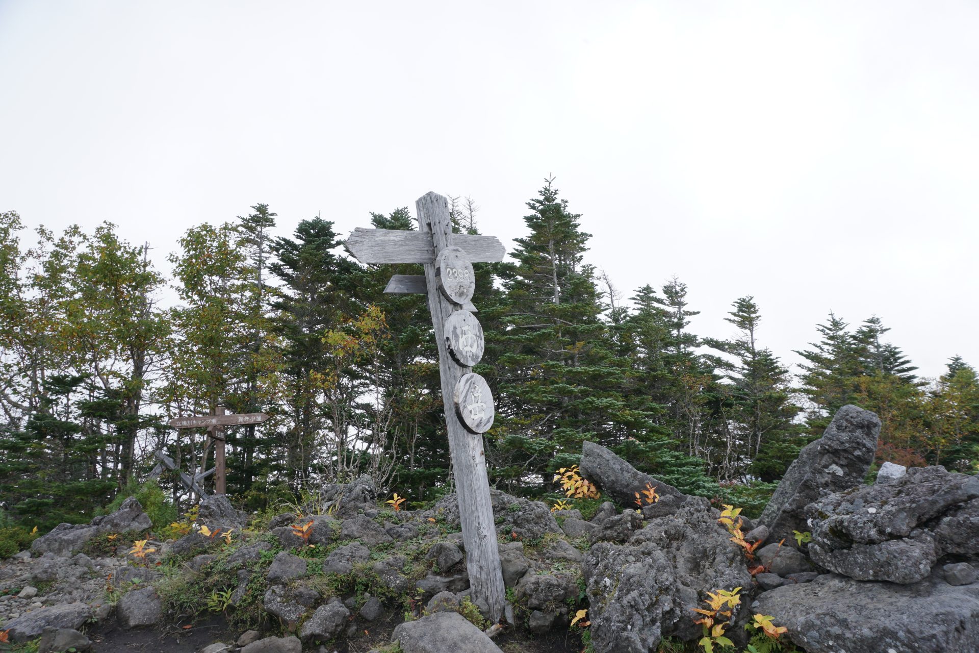
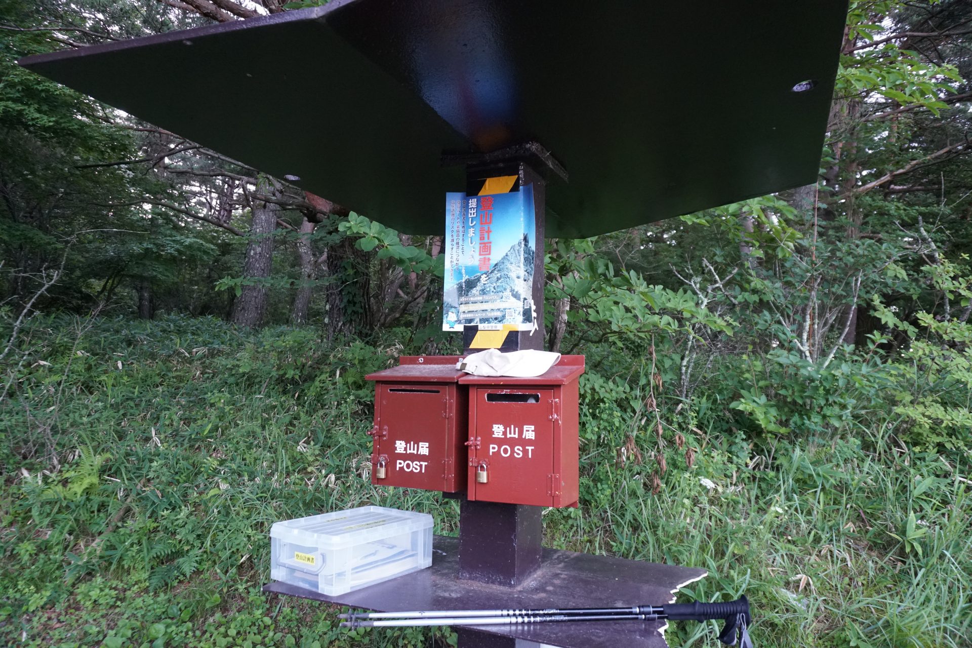
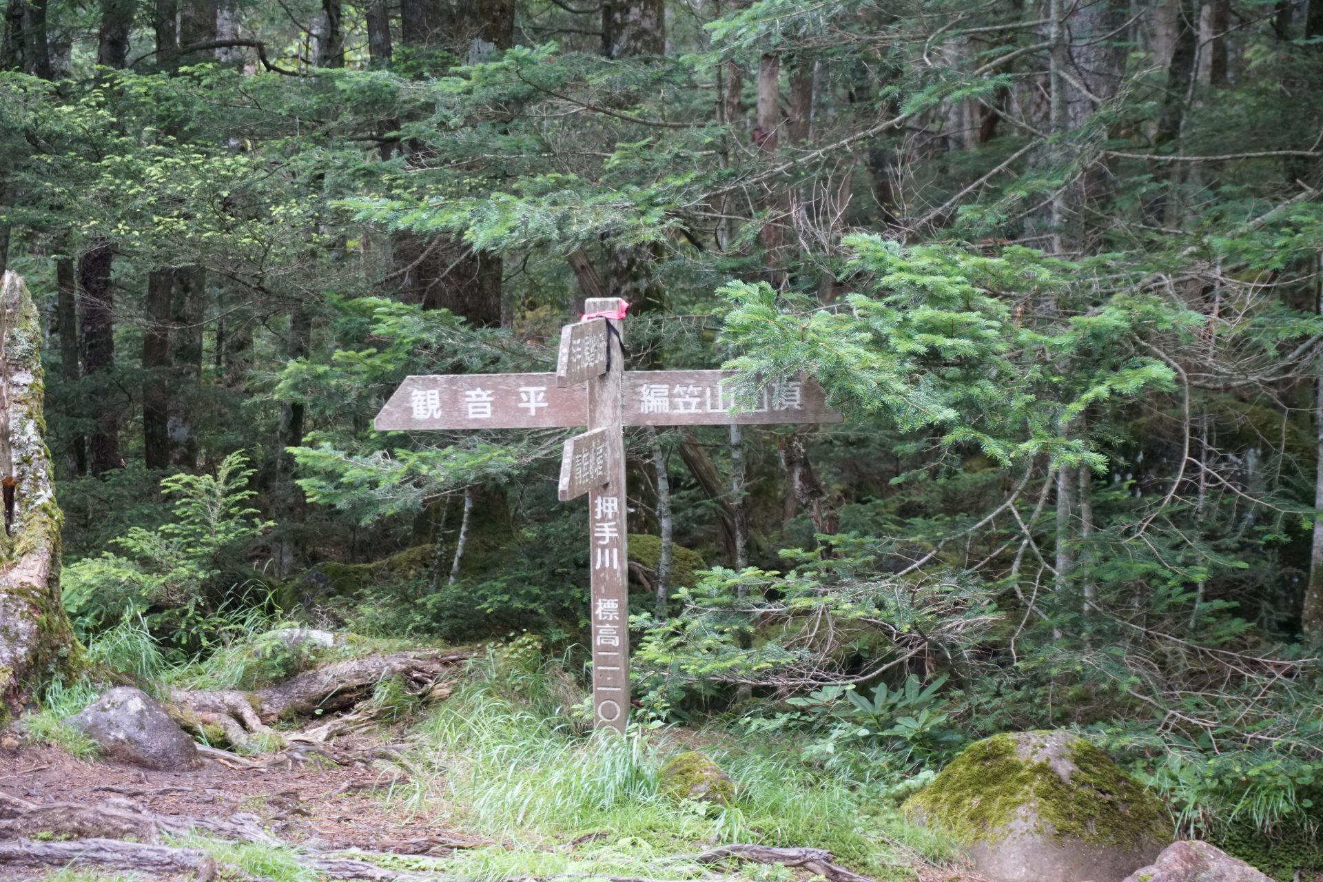
Mt Gongendake and Mt. Hachigasa, the southernmost peaks in the Yatsugatake mountain range, are close to the Chuo Expressway IC and JR Chuo Line stations, making them popular day-trip and overnight routes that are easy to approach from the Tokai region as well as the Tokyo metropolitan area, allowing you to enjoy the diverse faces of the mountains in a casual manner. The main trailhead, Kannon-daira, is already 1,560 meters above sea level, making it a fairly high starting point. Here we introduce the Amigasayama-Nishidakedaira route starting from Fujimi Kogen on the Nagano side and the Gongendake route starting from Kannon-daira on the Yamanashi side.
Trailhead vicinity weather
Weekly weather forecast zone:Nagano Prefecture, Chubu Region
| DAY | WEATHER | LOWEST | HIGHEST |
|---|---|---|---|
| 7/28 | 24℃ | 32℃ | |
| 7/29 | 23℃ | 33℃ | |
| 7/30 | 22℃ | 31℃ | |
| 7/31 | 23℃ | 30℃ | |
| 8/1 | 22℃ | 32℃ | |
| 8/2 | 23℃ | 34℃ |
This is a publication of the calculated figures for weather predictions and is not the weather forecast. There are instances where there will be big differences in the values stated for the mountains, in accord with the topography as well as sunlight, etc. so please take care.
72 hours weather information:11400 Tamagawa, Chino-shi, Nagano, 850 Minodo trailhead aid station
| Date and time |
7/27 12:00 |
7/27 13:00 |
7/27 14:00 |
7/27 15:00 |
7/27 16:00 |
7/27 17:00 |
7/27 18:00 |
7/27 19:00 |
7/27 20:00 |
7/27 21:00 |
7/27 22:00 |
7/27 23:00 |
7/28 0:00 |
7/28 1:00 |
7/28 2:00 |
7/28 3:00 |
7/28 4:00 |
7/28 5:00 |
7/28 6:00 |
7/28 7:00 |
7/28 8:00 |
7/28 9:00 |
7/28 10:00 |
7/28 11:00 |
7/28 12:00 |
7/28 13:00 |
7/28 14:00 |
7/28 15:00 |
7/28 16:00 |
7/28 17:00 |
7/28 18:00 |
7/28 19:00 |
7/28 20:00 |
7/28 21:00 |
7/28 22:00 |
7/28 23:00 |
7/29 0:00 |
7/29 1:00 |
7/29 2:00 |
7/29 3:00 |
7/29 4:00 |
7/29 5:00 |
7/29 6:00 |
7/29 7:00 |
7/29 8:00 |
7/29 9:00 |
7/29 10:00 |
7/29 11:00 |
7/29 12:00 |
7/29 13:00 |
7/29 14:00 |
7/29 15:00 |
7/29 16:00 |
7/29 17:00 |
7/29 18:00 |
7/29 19:00 |
7/29 20:00 |
7/29 21:00 |
7/29 22:00 |
7/29 23:00 |
7/30 0:00 |
|---|---|---|---|---|---|---|---|---|---|---|---|---|---|---|---|---|---|---|---|---|---|---|---|---|---|---|---|---|---|---|---|---|---|---|---|---|---|---|---|---|---|---|---|---|---|---|---|---|---|---|---|---|---|---|---|---|---|---|---|---|---|
| Weather | |||||||||||||||||||||||||||||||||||||||||||||||||||||||||||||
| Temperature | 22℃ | 22℃ | 23℃ | 23℃ | 22℃ | 22℃ | 21℃ | 20℃ | 19℃ | 19℃ | 19℃ | 18℃ | 18℃ | 18℃ | 17℃ | 17℃ | 17℃ | 17℃ | 17℃ | 17℃ | 18℃ | 19℃ | 19℃ | 20℃ | 21℃ | 21℃ | 21℃ | 20℃ | 20℃ | 20℃ | 20℃ | 19℃ | 19℃ | 18℃ | 17℃ | 17℃ | 16℃ | 16℃ | 15℃ | 15℃ | 14℃ | 14℃ | 14℃ | 15℃ | 18℃ | 21℃ | 23℃ | 25℃ | 26℃ | 27℃ | 27℃ | 26℃ | 25℃ | 24℃ | 23℃ | 21℃ | 19℃ | 17℃ | 17℃ | 16℃ | 16℃ |
| Precipitation | 0mm/h | 0mm/h | 0mm/h | 0mm/h | 0mm/h | 0.4mm/h | 0mm/h | 0mm/h | 0mm/h | 0mm/h | 0mm/h | 0mm/h | 0mm/h | 0mm/h | 0mm/h | ※ 16時間以降は表示されません | |||||||||||||||||||||||||||||||||||||||||||||
| Wind direction |
southwest 2m/s |
southwest 2m/s |
southwest 2m/s |
southwest 2m/s |
southwest 2m/s |
southwest 1m/s |
southwest 1m/s |
southwest 1m/s |
southwest 1m/s |
southwest 1m/s |
southwest 1m/s |
southwest 1m/s |
southwest 1m/s |
southwest 1m/s |
southwest 1m/s |
southwest 1m/s |
southwest 1m/s |
southwest 1m/s |
southwest 1m/s |
southwest 2m/s |
southwest 2m/s |
southwest 2m/s |
southwest 2m/s |
southwest 3m/s |
southwest 3m/s |
southwest 3m/s |
southwest 3m/s |
southwest 2m/s |
southwest 2m/s |
southwest 2m/s |
southwest 2m/s |
southwest 2m/s |
southwest 2m/s |
southwest 1m/s |
southwest 1m/s |
0m/s |
0m/s |
0m/s |
0m/s |
0m/s |
0m/s |
0m/s |
0m/s |
0m/s |
southwest 1m/s |
southwest 1m/s |
southwest 2m/s |
southwest 2m/s |
southwest 3m/s |
southwest 3m/s |
southwest 3m/s |
southwest 3m/s |
southwest 3m/s |
southwest 3m/s |
southwest 3m/s |
southwest 2m/s |
southwest 1m/s |
southwest 1m/s |
southwest 1m/s |
southwest 1m/s |
southwest 1m/s |
※The weather information will be information on 5km square including the relevant point.
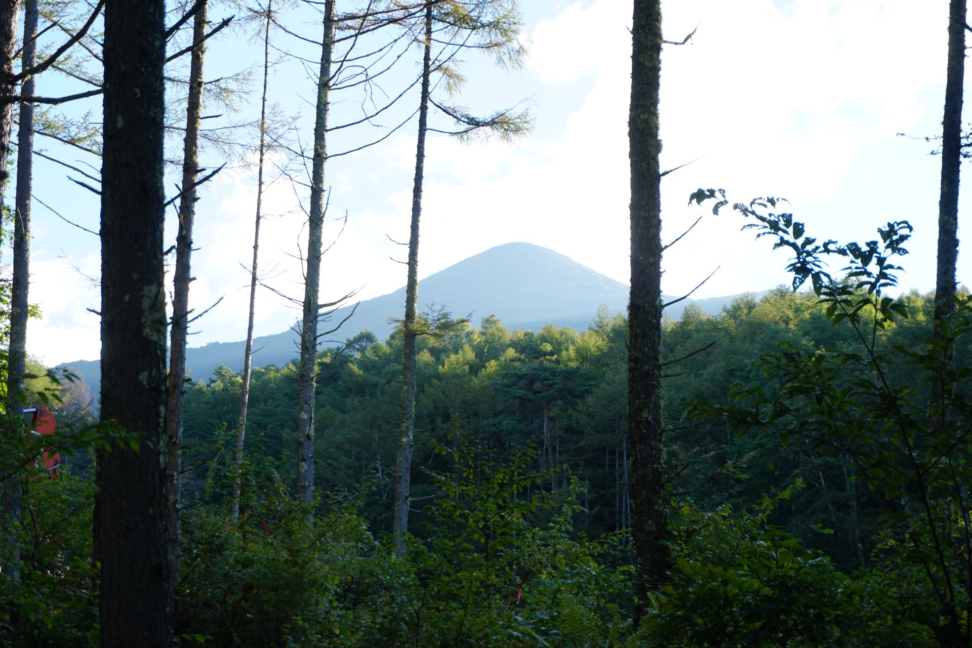
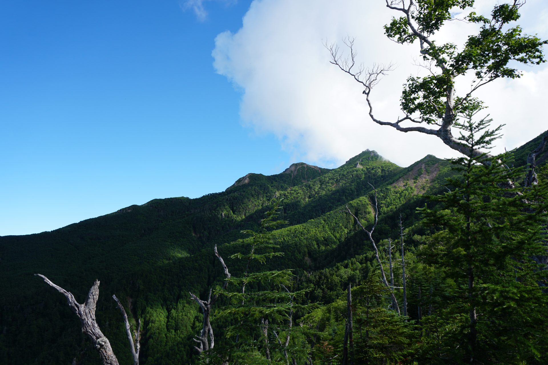
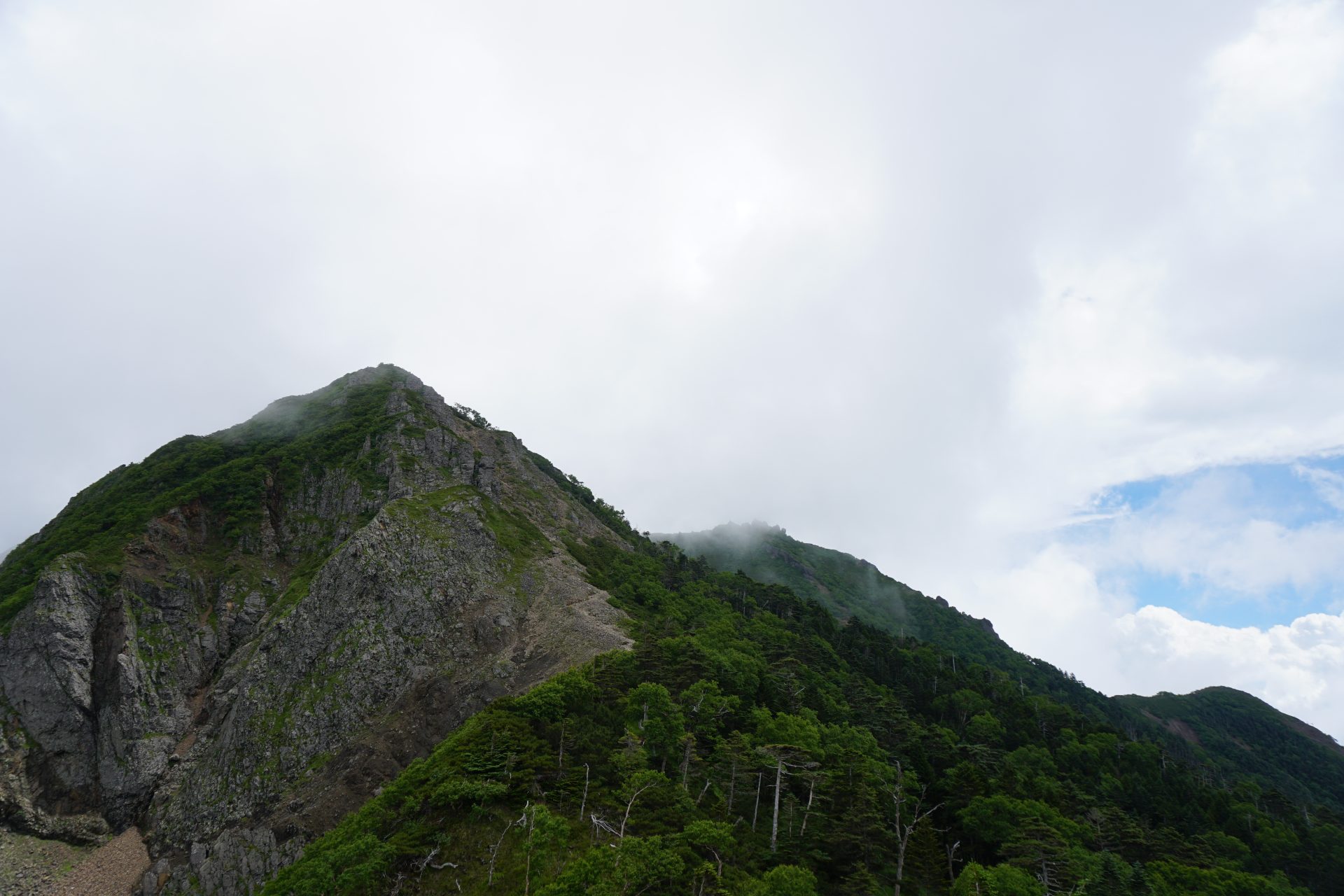
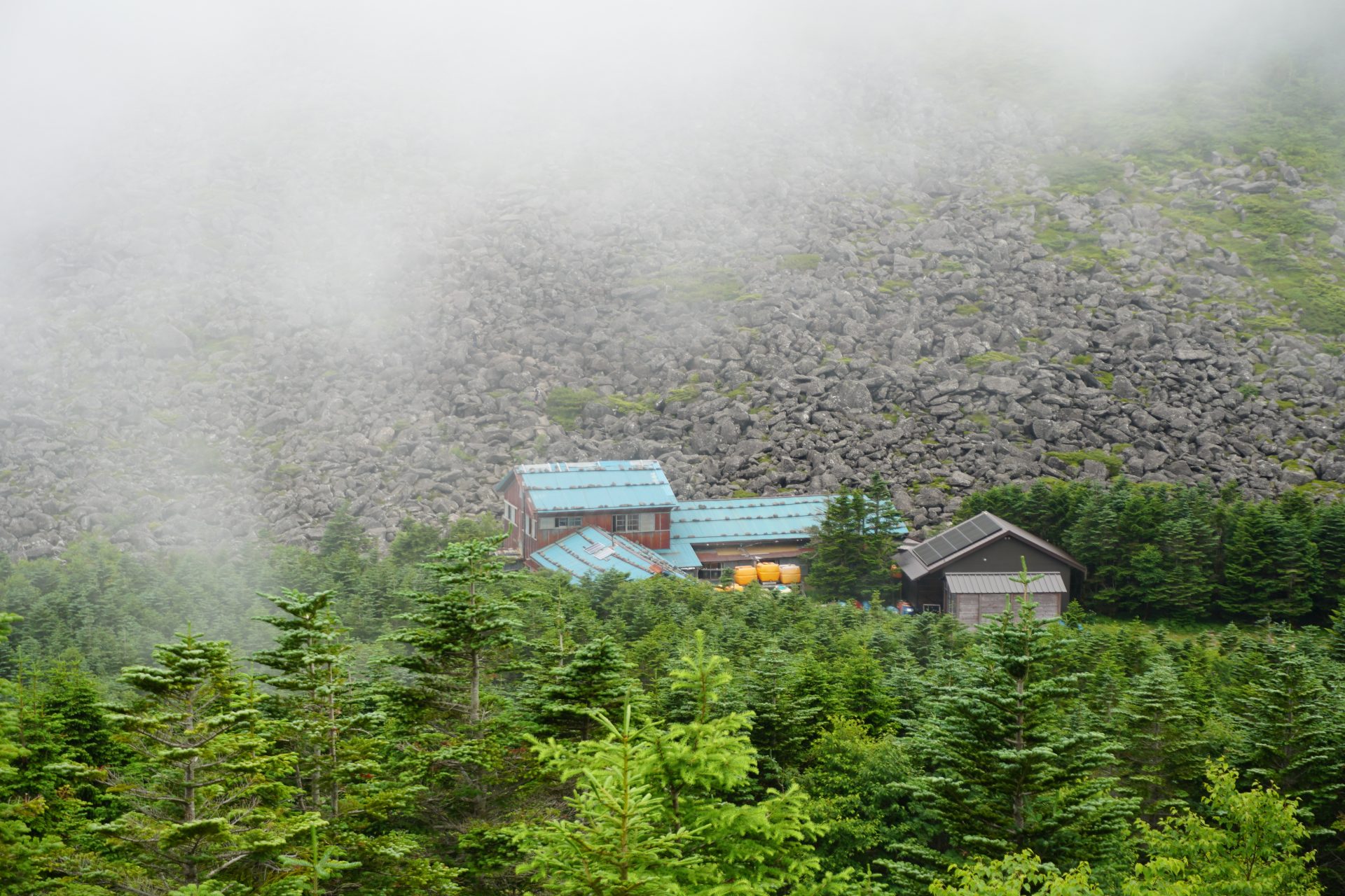
View of Mt Gongendake / Mt. Amigasayama