Mt. Chausu-dake Route
①Hata-nagi Daiichi Dam ~ Mt. Chausu-dake Trailhead ~ Usokko-sawa-koya Mountain hut ~ Mt. Chausu-dake ~ Mt. Irou-dake ~ Mt. Tekari-dake ~ Mt. Chausu-dake ~ Usokko-sawa-koya Mountain hut ~ Mt. Chausu-dake trailhead ~ Hata-nagi Daichi Dam
Technical level: B
Physical Strength level: 8
Difficulty level: ⛰️⛰️⛰️⛰️
A recommended course for hikers who drive themselves
Enjoy the deepest part of the South Japan Alps
Access to Hatanagi Daiichi Dam Numadaira Gate
●Hiking data
Schedule: three nights and four days or four nights and five days
Walking hours: 25 hours and 25 minutes
(Up: 13 hours 45 minutes/Down: 11 hours 40 minutes)
Walking distance: 33.6 km
Difference in elevation: 3,590 m
Hata-nagi Daiichi Dam
Elevation 946m
↓ 1 hour 5 minutes
Mt. Chausu-dake Trailhead
Elevation 960m
↓ 3 hours 40 minutes
Yokokubo-sawa-koya Mountain hut
Elevation 1,650m
↓ 3 hours 30 minutes
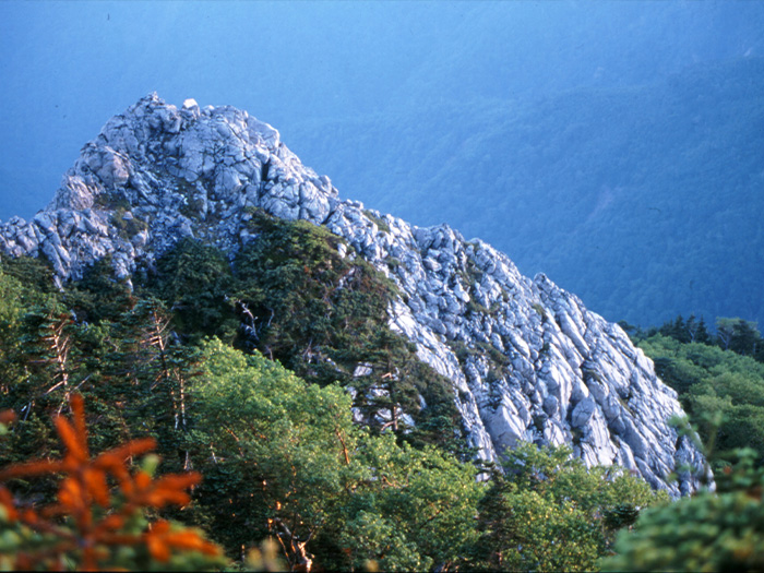
Mt. Chausu-dake

Elevation 2,604m
↓ 2 hours 30 minutes
Mt. Irou-dake
Elevation 2,354m
↓ 3 hours
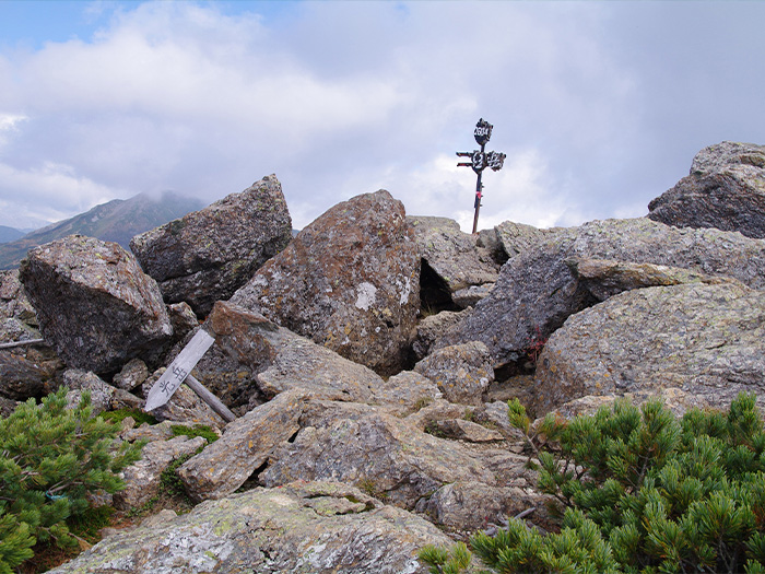
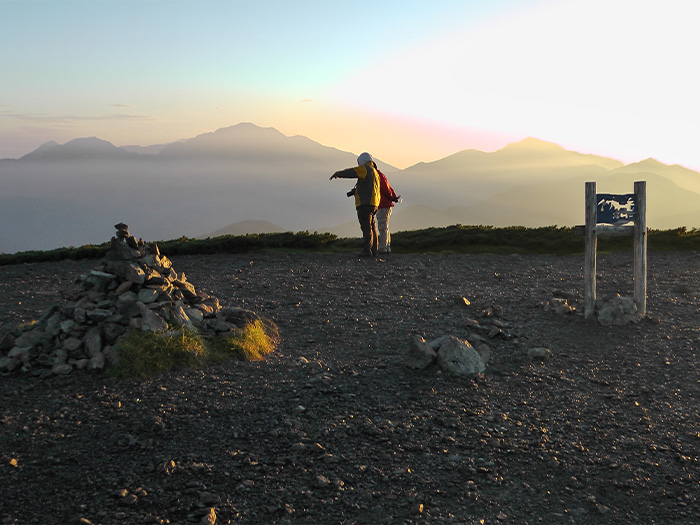
Mt. Tekari-dake (Tekari ishi)
Elevation 2,591m
↓ 2 hoours 50 minutes
Mt. Irou-dake
Elevation 2,354m
↓ 2 hours 50 minutes
Mt. Chausu-dake
Elevation 2,604m
↓ 2 hours 10 minutes
Yokokubo-sawa-koya Mountain hut
Elevation 1,650m
↓ 2 hours 45 minutes
Mt. Chausu-dake trailhead
Elevation 960m
↓ 1 hours 5 minutes
Hata-nagi Daiichi Dam
Elevation 946m

Route Guide
If you ride a bus from Shizuoka station, you can start from Hata-nagi Daiichi dam only from the afternoon so it is recommended that you drive yourself to the trailhead. That can make the trip three nights and four days. In that case, the course time will be
Day 1: Hata-nagi Daiichi Dam ~ Chausu-koya Mountain hut: 7 hours 45 minutes
Day 2: Chausu-koya Mountain hut ~ Tekari-dake-koya Mountain hut: 6 hours 30 minutes (including a round trip between Tekari-dake-koya Mountain hut and Tekari-ishi)
Day 3: Tekari-dake-koya Mountain hut ~ Yokokubo-sawa-koya Mountain hut: 7 hours 20 minutes
Day 4: Yokokubo-sawa-koya Mountain hut ~ Hata-nagi Daiichi dam: 3 hours 50 minutes.
If you are a fast hiker, you might be able to shorten walking time and spend more time resting. If you utilize a public transportation, the schedule will be:
Day 1: stay at Usokko-sawa-koya Mountain hut
Day 2: stay at Chausu-koya Mountain hut
Day 3: stay at Tekari-dake-koya Mountain hut
Day 4: stay at Yokokubo-sawa-koya Mountain hut
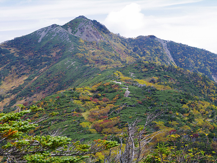
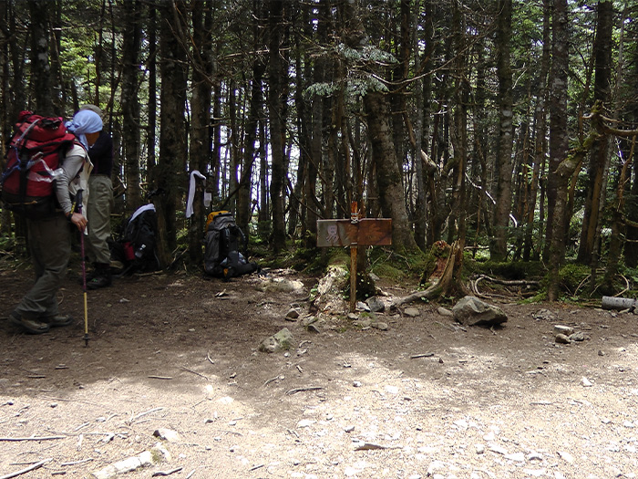
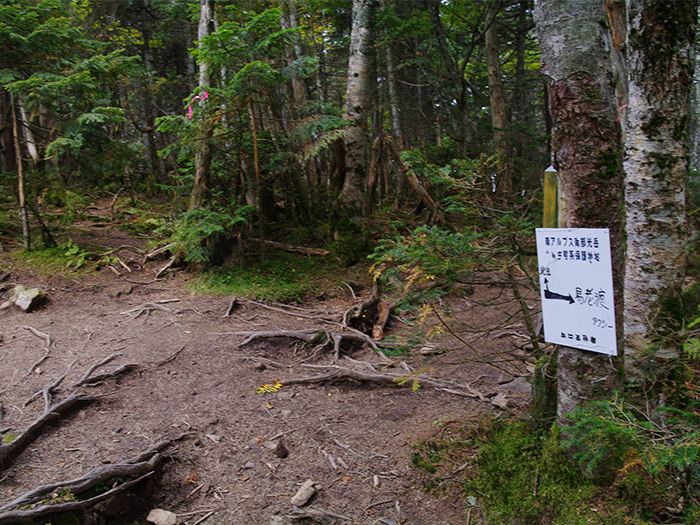
Walk on the logging road from Hata-nagi Daiichi dam to Mt. Chausu-dake trailhead. Cross the hanging bridge at the trailhead then enter the trail. The trail passes a zone that requires the use of ladders and small bridges until Usokko-sawa. The trail goes through a forest zone. After passing Usokko-sawa-koya Mountain hut, the trail becomes steep. After yokokubo-sawa-koya Mountain hut, the view becomes clearer. From the lookout, the mountains in the Daimu-gen area can be seen. After passing Kanbadan, the trail comes to a flower field. Particularly near to Chausu-koya Mountain hut, the flower field is very beautiful. The trail separates at the Chausu-koya Mountain hut descending spot. One trail goes to Mt. Hijiri-dake and the other goes to Mt. Tekari-dake.
There are many fallen trees and land leeches along the trail from Mt. Chausu-dake to Mt. Tekari-dake so caution must be employed. It is better to avoid wearing short sleeved T-shirts or short pants. Make sure that you fasten cuffs, collars, and hems. It is recommended to bring a repellent spray such as “land leeches fighter” when you visit this area.
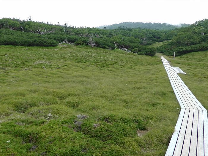
From Mt. Chausu-dake, descend the trail that includes some ups and downs and pass through Betula Ermanii forest. From Nitta pond, Kibou peak is reached at the end of an uphill along the ridgeline covered by creeping pines. At Kibou peak, the trail separates into a trail going to Mt. Nitta-dake. It takes about 40 minutes for a round trip. There is a great view at the summit so if time allows, it is recommended to visit the summit. From Kibou peak, descend the ridgeline. Mt. Irou-dake is reached at the end of the downhill. There is no view at the summit. Take a short break and go back on the trail. From the summit, there are many fallen trees. Be careful of land leeches as well. The trail leads to a forest zone. The trail becomes a steep uphill after passing Miyoshi-daira. Shizukou-daira is reached after a short effort. This is a bright grassy area and flower fields spread out. Senji-gahara is reached after one more uphill. It is a wide meadow area. The big mountain that can be seen in the east is Mt. Izaruga-dake.
It takes about 30 minutes for a round trip. This is a great spot for photo taking at both sunset and sunrise. Tekari-dake-koya Mountain hut is reached after passing Senji-ga-hara. The summit is about 20 minutes away from the hut. To Tekari-ishi, it takes an additional 10 minutes away. Descend the same trail used for ascending.