Omote Ginza Panorama Route
Nakabusa Onsen ~ Mt. Tsubakuro-dake ~ O-tensho Mountain hut ~ Mt. Nishi-dake ~ Minamata-nokkoshi ~ O-yari Mountain hut ~ Mt. Yari-gatake ~ Yokoo ~ Kamikochi
Technical level: C
Physical strength level: 9
Difficulty level: ⛰️⛰️⛰️⛰️
The most popular route in the Northern Japan Alps, is called the Omote Ginza mountains ridgeline travers.
Eyeball the goal point, Mt. Yari-gatake from the starting point at Mt. Tsubakuro-dake before you begin to hike!
Currently, the forest road to Nakabusa Onsen has collapsed and is not passable for cars. Please check information from Azumino City for details.
Access to Nakabusa Onsen
ACCESS to Kamikochi
●Hiking Data
Schedule: Three nights 4 days
Walking hours: 24 hours 50 minutes
(to O-tensho Mountain hut: 9 hours O-tensho Mountain hut ~ O-yari Mountain hut: 6 hours O-yari Mountain hut ~ Kamikochi: 9 hours 50 minutes)
Walking distance: 36.2 km
Difference in elevation: 3,289 m
Nakabusa Onsen
Elevation 1,450m
↓ 4 hours 50 minutes
Mt. Tsubakuro-dake

Elevation 2,763m
↓ 4 hours 10 minutes
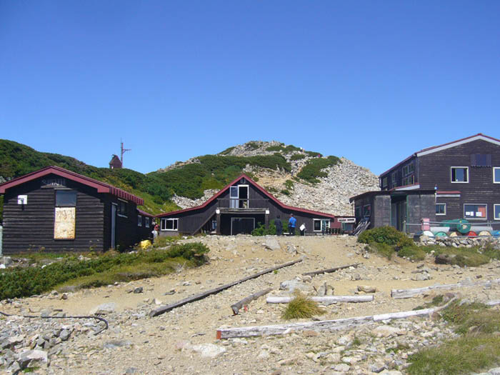
O-tensho Mountain hut

Elevation 2,760m
↓ 2 hours 50 minutes
Mt. Nishi-dake
Elevation 2,758m
↓ 1 hour
Minamata-nokkoshi
Elevation 2,480m
↓ 2 hours 10 minutes
O-yari Mountain hut
Elevation 2,884m
↓ 1 hour 20 minutes
Mt. Yari-gatake
Elevation 3,179m
↓ 8 hours 30 minutes
Kamikochi
Elevation 1,505m

Route Guide
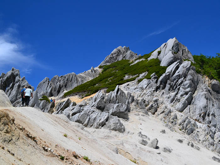
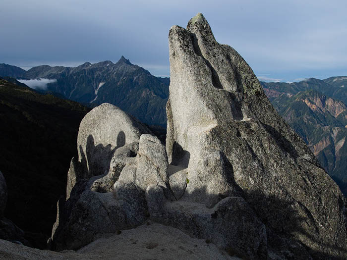
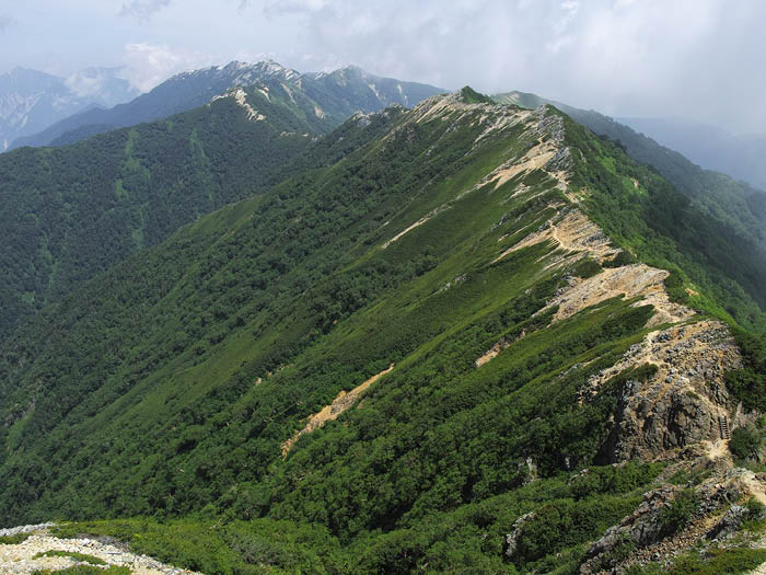
Please walk on the ridgeline from Mt. Tsubakuro-dake to Mt. O-tensyou-dake. This trail is fairly flat with fewer ups and downs and Dicentra can be spotted along the trail. After passing through giant Geero-iwa Rock, the trail enters into a sparsely grown woody area. A field on the slope on the East side will be covered with flowers. Pass by Tameemon-no-tsuriiwa then walk through Betula emani forest. You will arrive at a ridgeline made of granite where beautiful Alpine plants are found. Kiritooshi-iwa is located at the base of Mt. O-tensyou-dake. Use chains to climb down to a saddle, where a relief of Kisaku Koabayashi, a developer of Kisaku-shindou, can be viewed.
Kisaku-shindou junction will be reached after a short climb up from the saddle. Most hikers walking along the ridgeline from mountain to another choose this trail. The summit of Mt. O-tensyou-dake is reached from the junction through the steep slope.
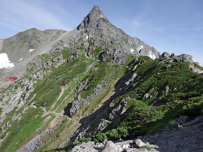
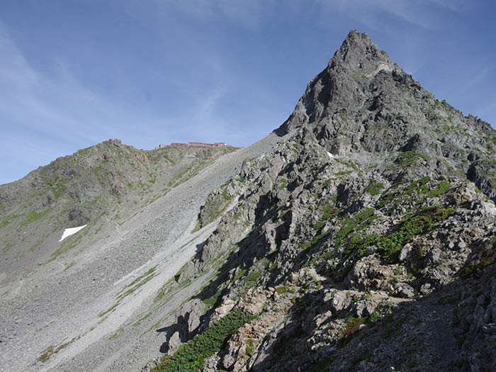
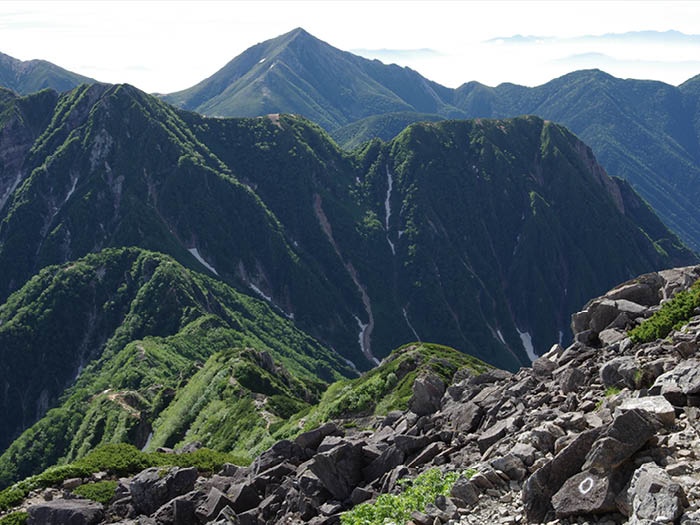
Kisaku-shindou passes through the Northern slope of Mt. O-tenshou-dake. From the point where the trail crosses over the branch ridgeline it descends down. O-tensyo Mountin hut will be reached shortly. This hut is located at the middle point between Mt. Tsubakuro-dake and Mt.Yari-gatake. Take a trail to Mt. Ushikubi-yama to another saddle. The view of the rocky ridgeline from Kitakama o’ne to Mt. Yari-gatake beyond Tensyo-sawa is phenomenal.
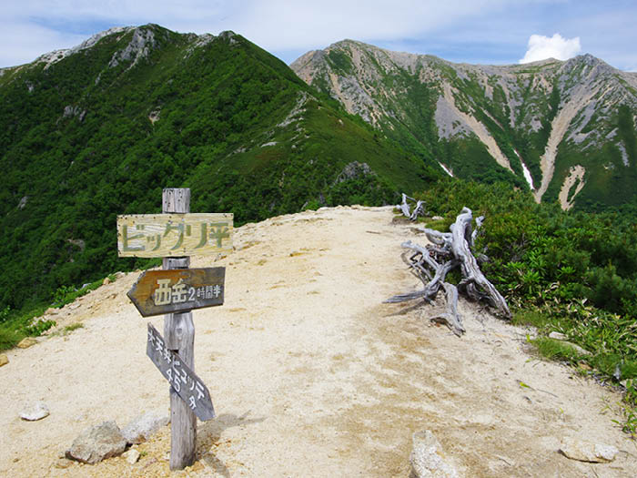
After passing a triangulation point of Mt. Akaiwa-dake, the trail becomes a narrow rocky ridgeline. The summit of Mt. Nishi-dake is reached at the end of this trail.
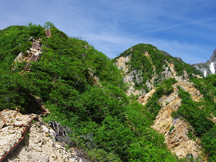
From Mt. Nishi-dake Mountain hut, hike down to Minamata-nokkoshi then hike up again from the saddle. The trail enters Higashi-kama o’ne. From the graveled trail, enter a sparsely grown woody area and continue on to the rocky trail with the use of ladders and chains. You will arrive at O-yari Mountain hut; here, the view is clearer on the Yari-sawa side.
A stay for the night at O-yari Mountain hut is recommended. Please start early the next day. After a short climb, the trail goes off the ridgeline and continues to climb a large slope up on the Yari-sawa side. Yari-no-kata will be reached shortly.
From here, head out to Mt. Yari-gatake using ladders and chains. It is a narrow summit but the view is fantastic. There are no hazardous points on the descending route but caution must be employed.