Kuroi-sawa Route
②Kuroisawa-trailhead ~ the end of the logging road ~Noguma-noike-Emergency Shelter ~ Sancho ridgeline ~ Mt. Ena-san ~ Noguma-noike-Emergency Shelter ~ the end of the logging road~ Kuroisawa-trailhead
Technical level: B
Physical strength level: 4
Difficulty level: ⛰️⛰️
Many hikers visit the mountain for the autumn foliage.
Prepare outfit layers to adjust your body temperature to weather changes.
●Hiking Data
Schedule: One day
Walking hours: 7 hours 10 minutes
(Up: 4 hours 10 minutes/Down: 3 hours)
Walking distance: 15.3 km
Difference in elevation: 1,011 m
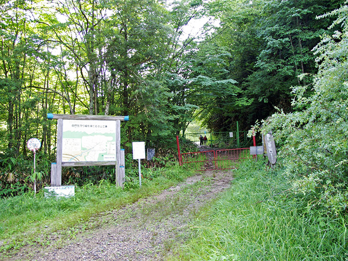
Kuroisawa-trailhead

Elevation 1,170m
↓ 40 minutes
the end of the logging road
Elevation 1,385m
↓ 1hour 20 minutes
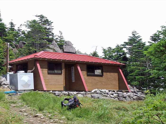
Noguma-noike-Emergency Shelter

Elevation 1,660m
↓ 1hour
Sancho ridgeline
Elevation 1,923m
↓ 1hour 10 minutes
Mt. Ena-san
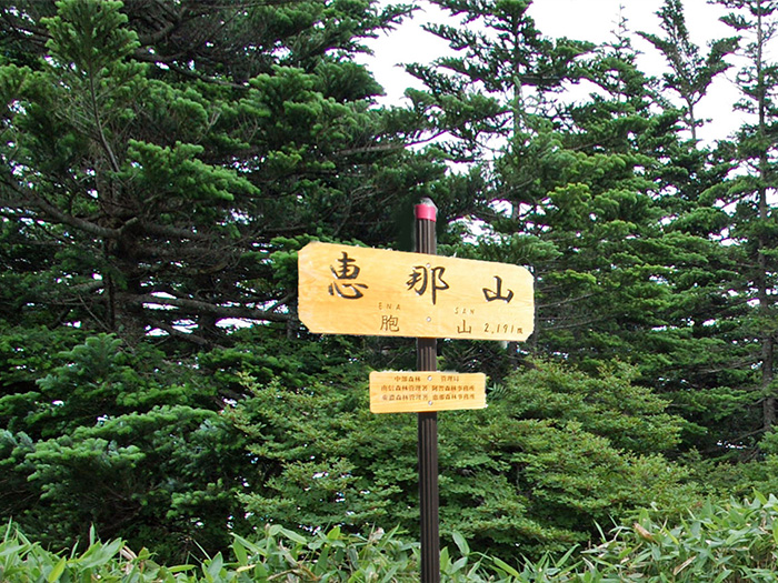
Elevation 2,191m
↓ 1hour 30 minutes
Noguma-noike-Emergency Shelter
Elevation 1,660m
↓ 1hour
the end of the logging road
Elevation 1,385m
↓ 30 minutes
Kuroisawa-trailhead
Elevation 1,170m
Route Guide
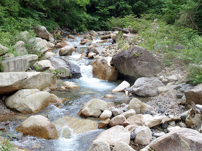
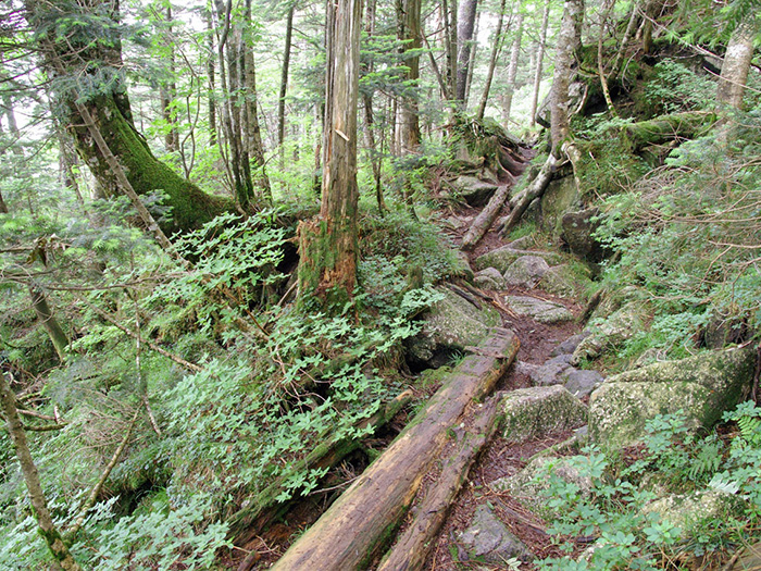
Kuroisawa trailhead is a part of the old camping site. There is a parking lot and an information sign at the trailhead. This is a starting point. Go past those gates, which are set to block car traffic, and start walking along the left bank of the river. The trail crosses the river to the right bank once, but it goes back to the left bank again. An early spring and the autumn foliage in Kuroisawa is beautiful and may entertain hikers. When the logging road ends, the trail crosses the Kuroisawa stream and becomes slightly wider. The trail comes to stairs, used to stop the sand flow. When a tin roofed building appears through the trees, Kuroisawa resting area is reached. The trail becomes steep from this point. There are many fallen trees in the area. At the end of a steep uphill, the trail goes around the hillside and ascends. After crossing a small stream, the trail becomes steeper. It is a beautiful area, covered by deciduous trees such as Betula Ermani, however, it may be a tough uphill. When the small stream ends and you cross the scree slope, the trail merges into a ridgeline.
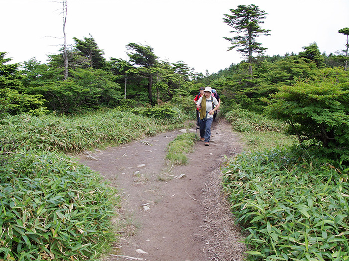
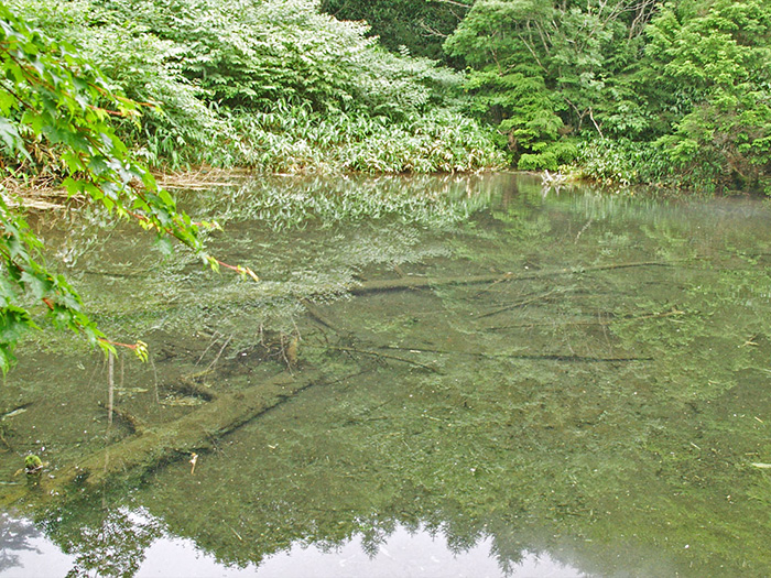
Nokuma-noike emergency shelter appears shortly after proceeding through Sasa veitchii. It is a fine log house. Nokuma-noike pond locates just ahead of the shelter. It is a pond with a beautiful lake surface surrounded by a larch forest. Ascend in a zigzag pattern from the pond. After ascending the hillside, the trail merges onto a ridgeline. Climb a peak through trees and descend to a saddle. The trail ascends again, while taking a wide turn in the Kiso side. It is covered by many tree roots but the grade of the trail is gradual. After passing a place to replenish your water supply, a plateau where Ena-san Sancho-koya Mountain hut locates, is reached. From the hut, follow a road sign towards the Southeast.
After passing Ena-san shrine, the summit is reached. A lookout tower has been built but the view is not great. From the back of the summit, enjoy a better view of the North and South Alps. Descend the same trail used for ascending.