Mt. Kuroboshi-dake Misakubo Route
Tochu-yama logging road entrance~ Mt. Kuroboshi-gatake trailhead ~ Yareyare-daira ~ Toko o’ne descending point ~ Mt. Kuroboshi-gatake
Technical level: B
Physical strength: 5
Difficulty: ★★★
This route is the shortest approach among routes to Mt. Kuroboushi-dake. However, it is a long walk from a parking lot on the logging road to Mt. Kuroboshi-dake trailhead.
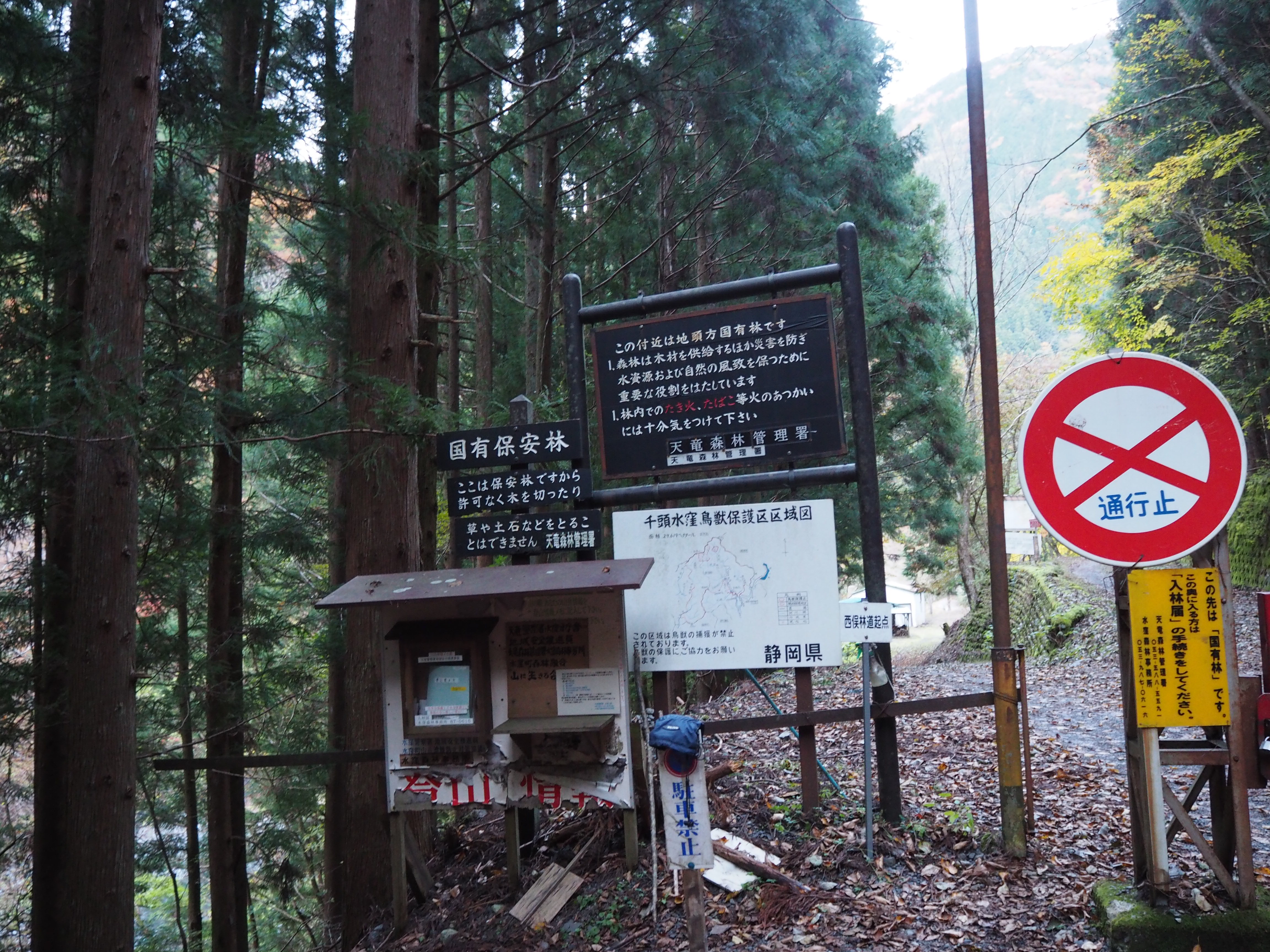
From Misakubo to Tochu-yama logging Road access
●Hiking Data
Schedule: One day
Walking hours: 10 hours 30 minutes (Up: 6 hours Down: 4 hours 30 minutes)
Walking distance: 21 km
Cumulative elevation difference: 1,831 m
Please check the most updated information for the logging road
※Contact Tenryu forest management office Misakubo forest office
TEL 053-987-0616
8 am ~ 9 am 4 pm ~ 5 pm
A Parking Lot at the logging road
Elevation 596m
↓ 30 minutes
Tochu-yama logging road entrance

Elevation 640m
↓ 1 hour 50 minutes
Mt. Kuroboshi-dake trailhead entrance
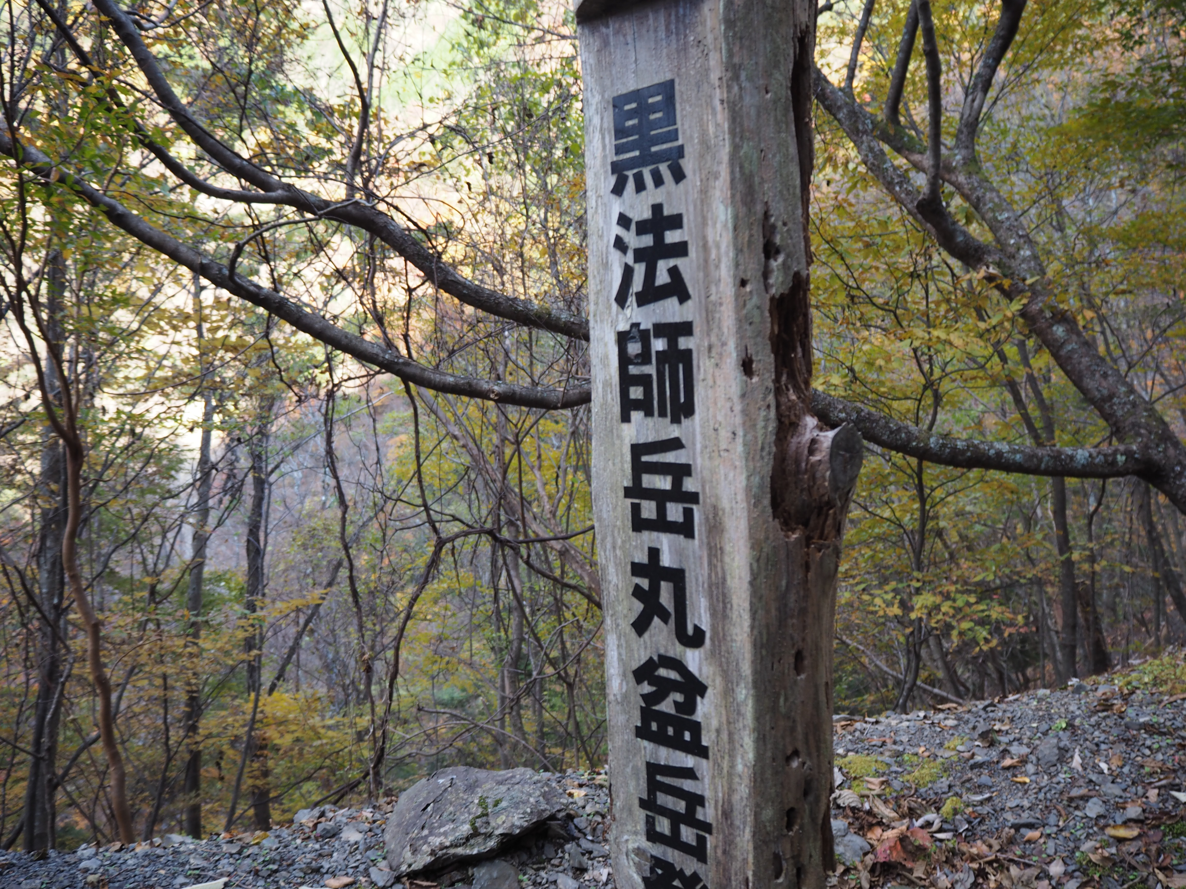
Elevation 1026m
↓ 1 hour and 30 minutes
Yareyare-daira
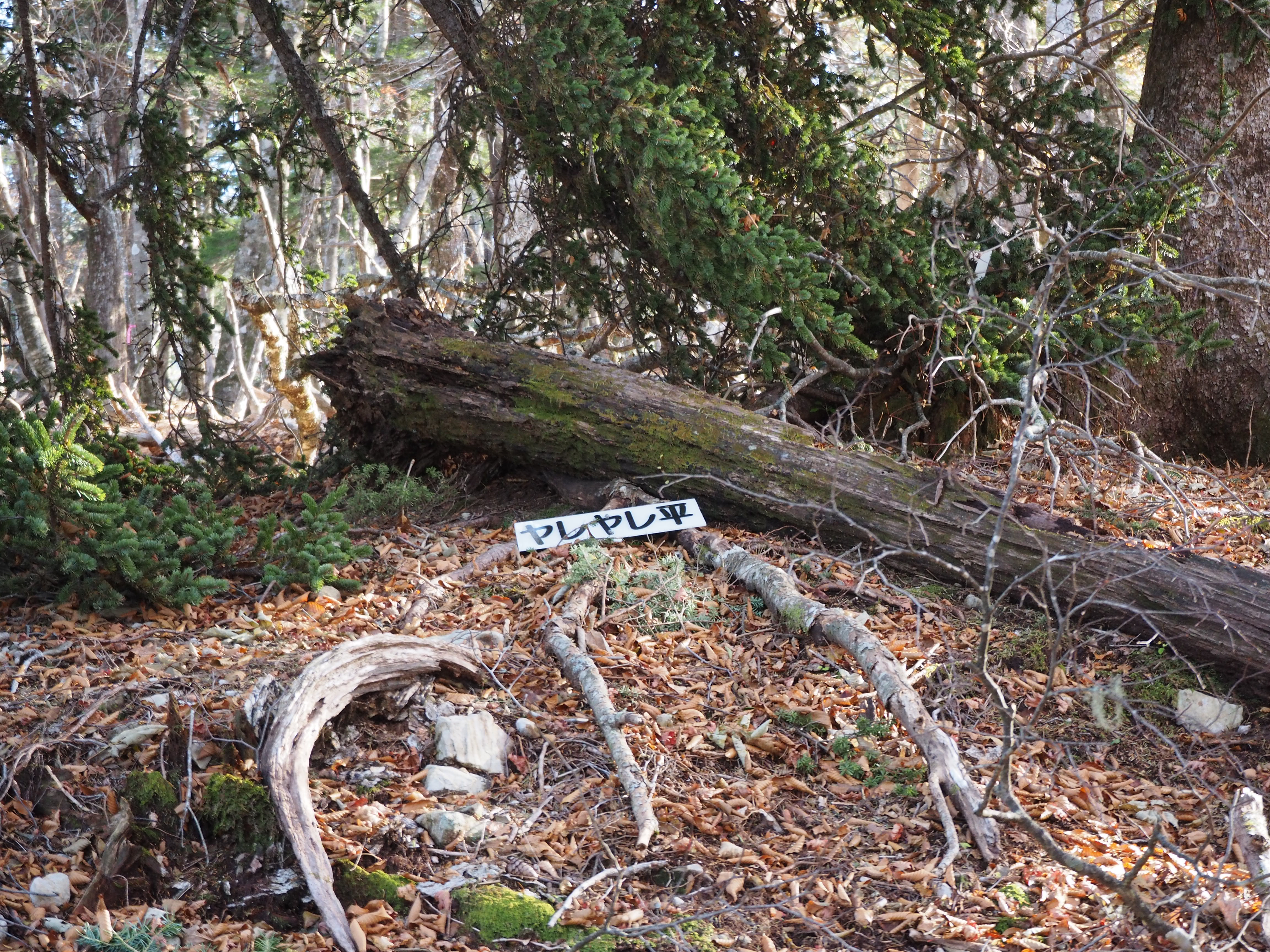
Elevation 1498m
↓ 45 minutes
Ichikawa-modori

Elevation 1786m
↓ 50 minutes
Toko o’ne descending point
Elevation 1937m
↓ 45 minutes
Mt. Kuroboshi-dake
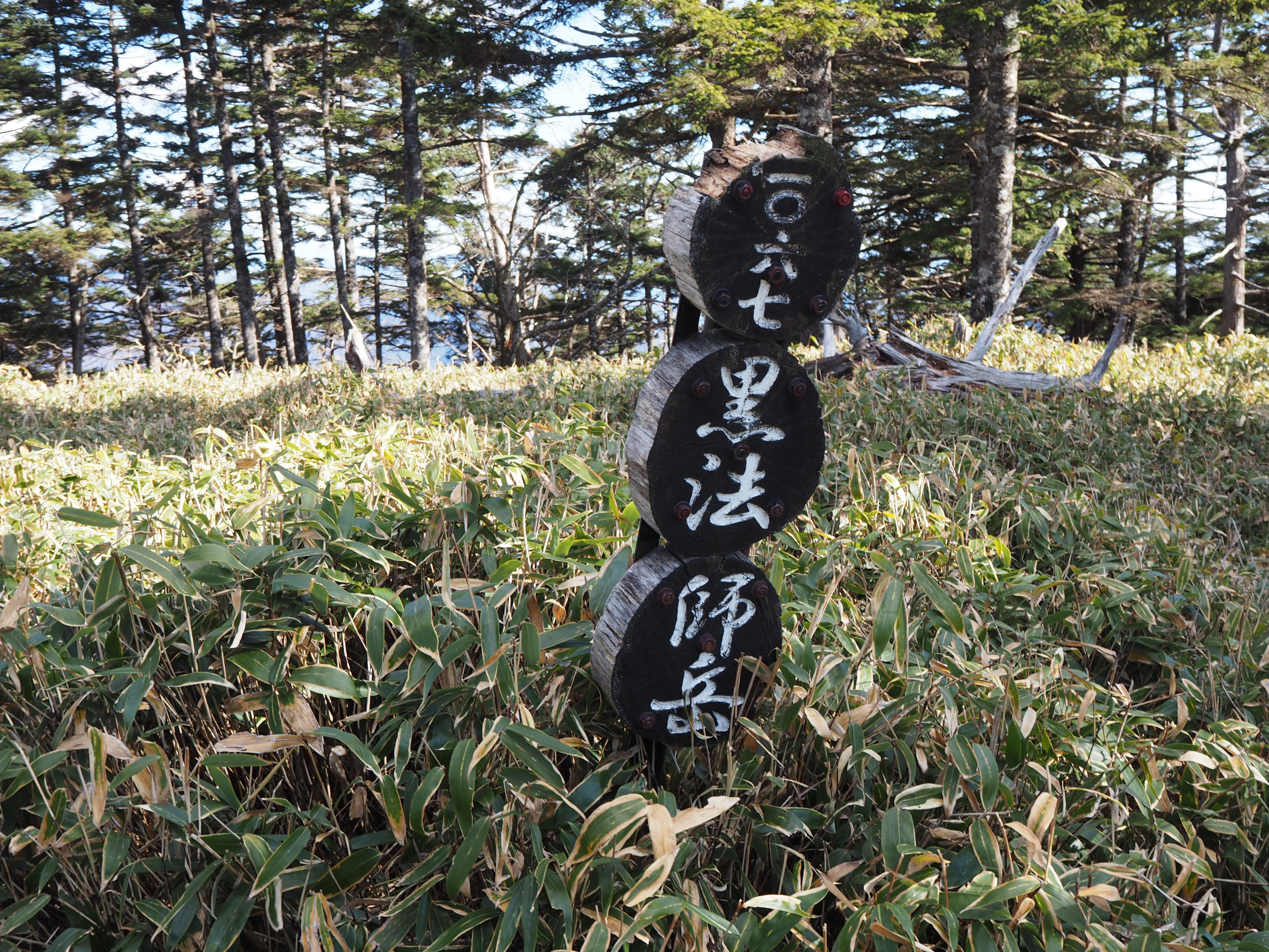
Elevation 2068m
↓ 35分
Toko o’ne descending point
Elevation 1937m
↓ 2 hours 15 minutes
Mt. Kuroboshi-dake trailhead entrance
Elevation 1026m
↓ 1 hour 55 minutes
A parking lot at the logging road
Elevation 596m
Route Guide
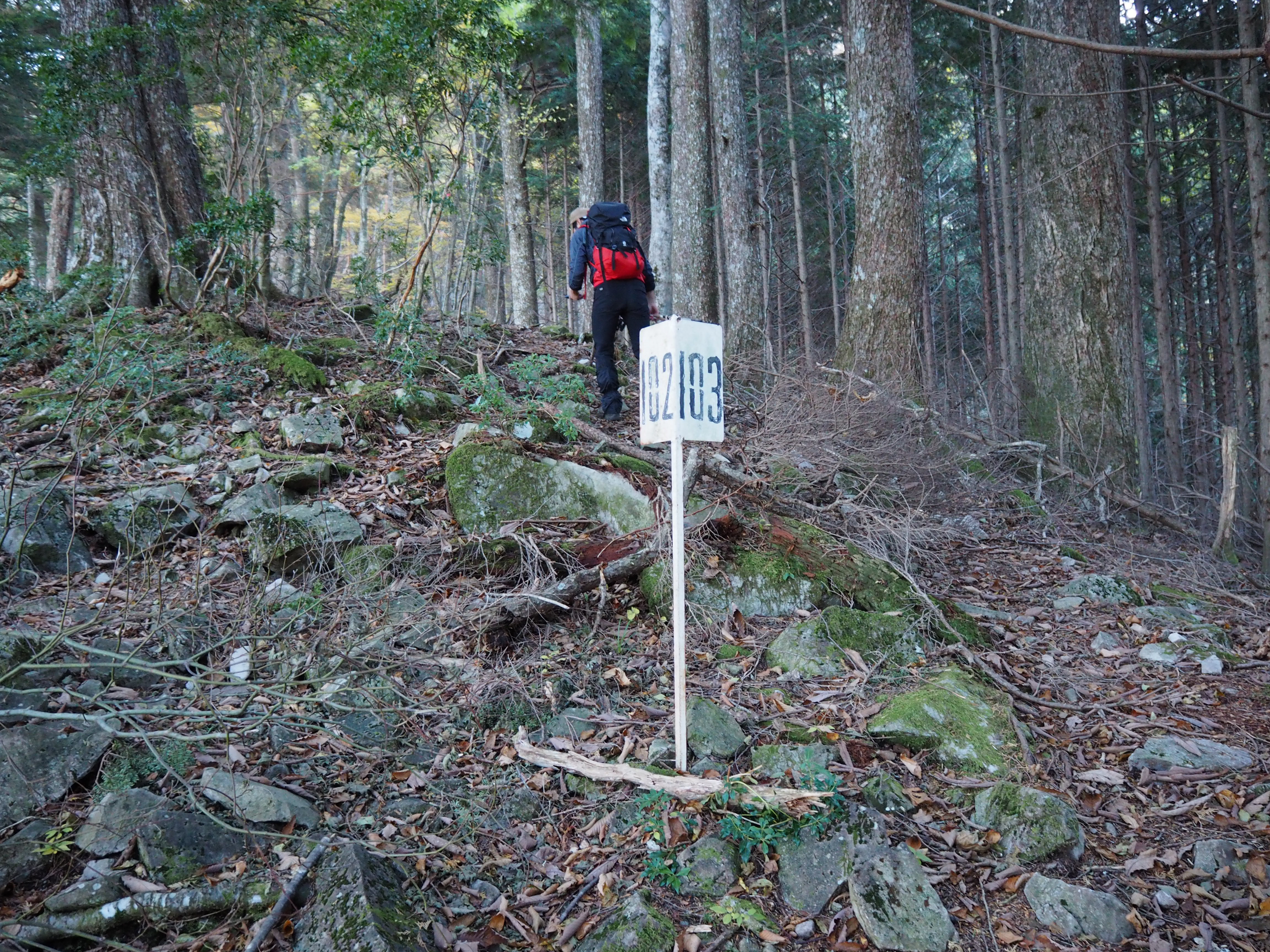
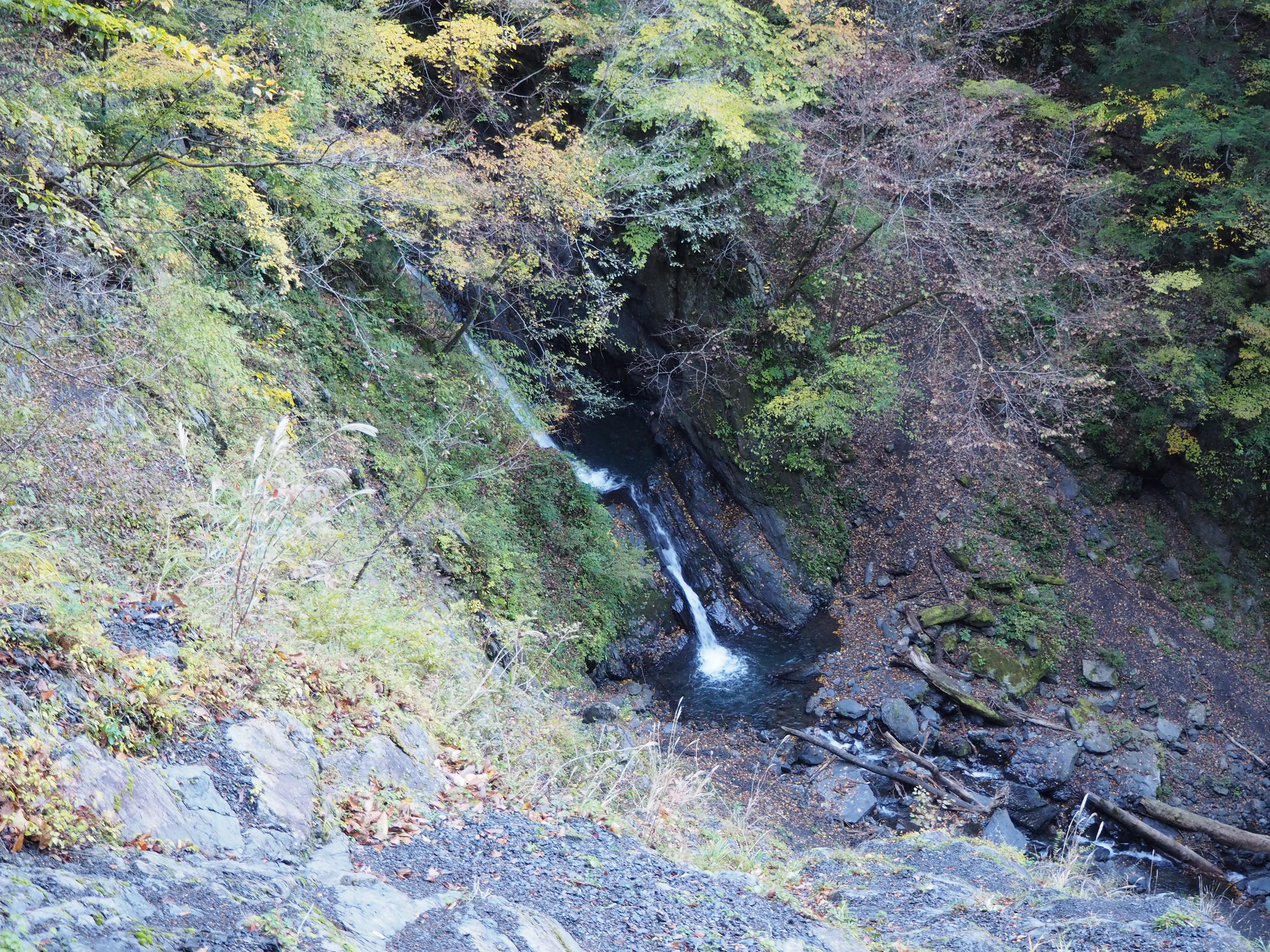
Drive about 20 minutes from Misakubo Dam, which is one of dams along the Tenryu river, then a parking lot at the logging road will be reached. Park your car and start walking on the logging road. If you hike deep along Tenryu-gawa river, you will enter a valley unexplored by people and the height difference from the logging road to the river side might make you dizzy. You will encounter surprisingly deep canyons. Especially the “green” season during early summer and the autumn leaves season during fall are recommended to visit here. The logging roads in the neighborhood tend to get damaged by typhoons every year and you might see collapsing trails if you proceed to hike on the logging road. That reminds us of the great efforts of people who maintain and manage the logging roads.
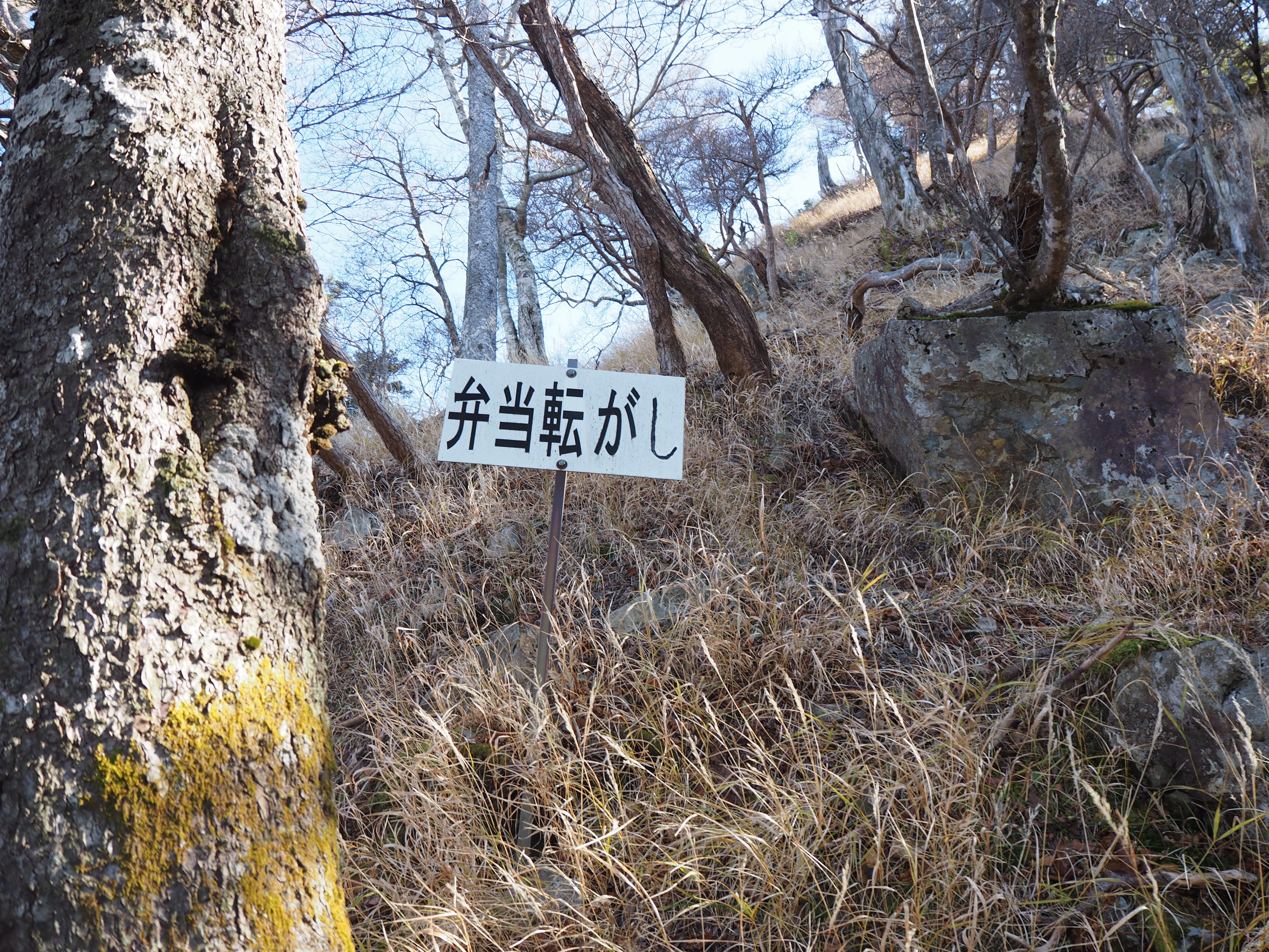
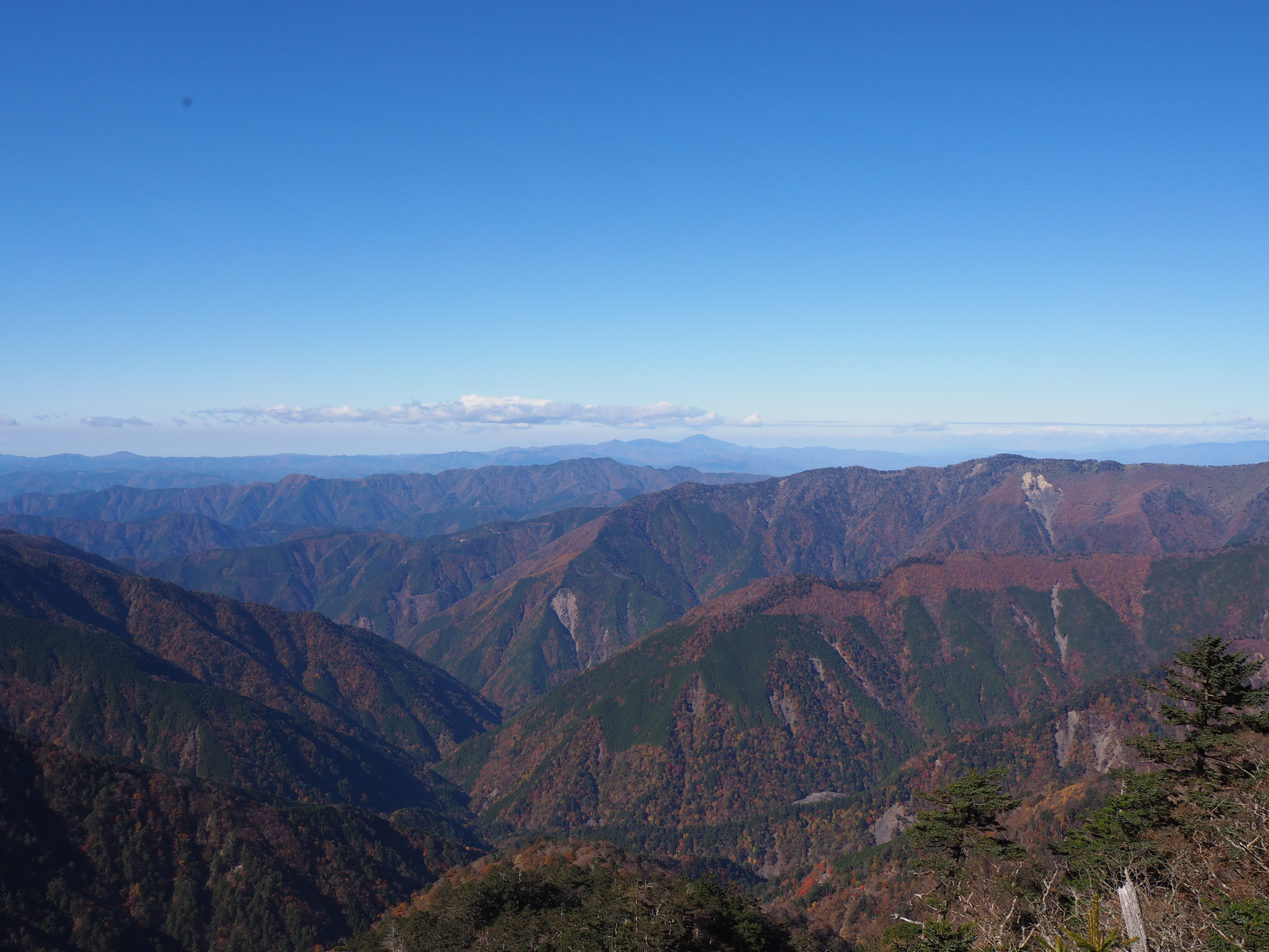
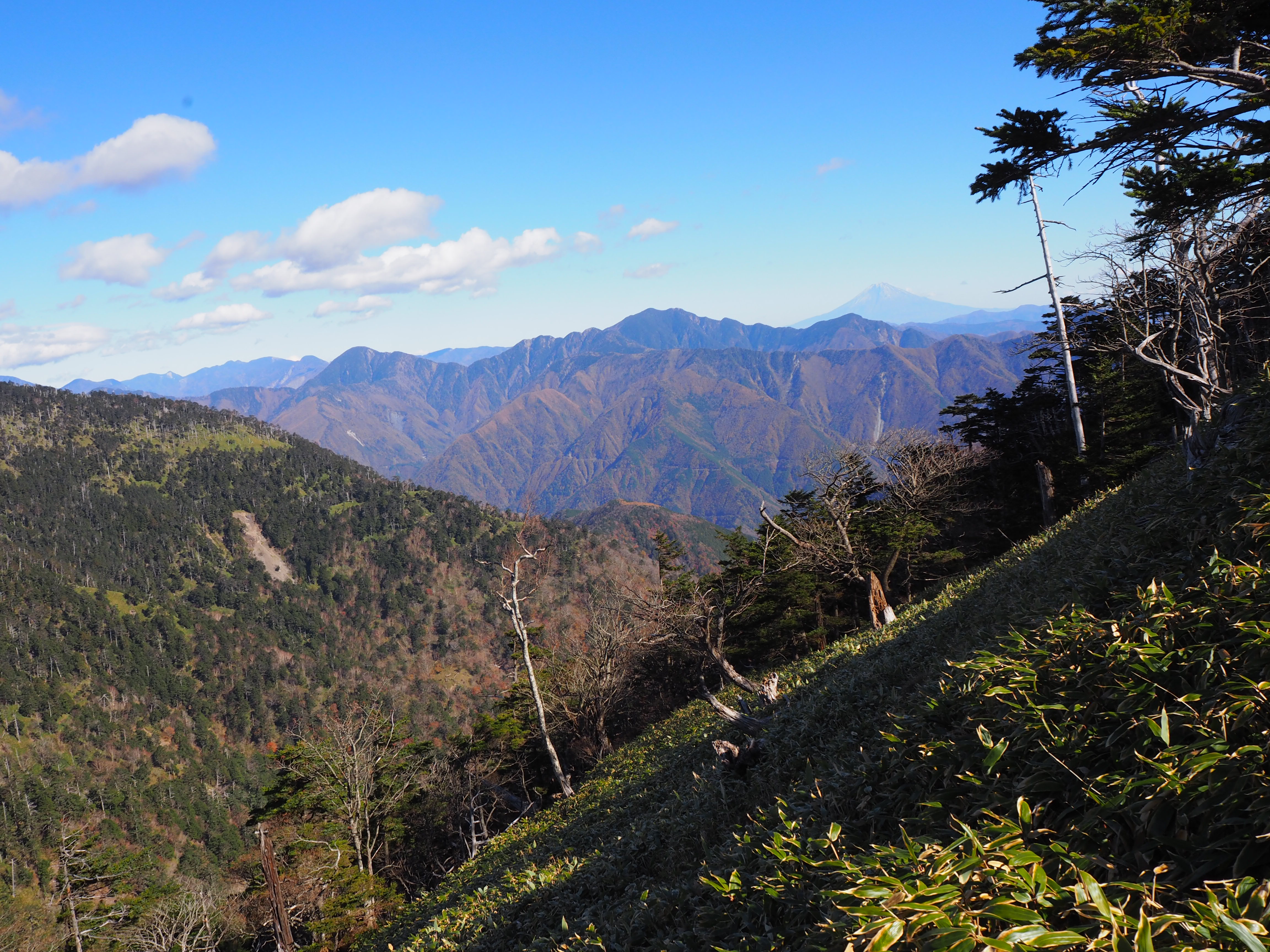
When you enter the trail, it becomes deep suddenly. The Toko o’ne is the ridgeline where you ascend 700 m in a short distance all at once and even though it is situated in the deep south, it will remind you that you are in a part of the South Japan Alps. This ridgeline hike represents the trail walk in the deep south and it is not maintained well. Along the trail, some trees are falling and other trees covered by moss are piled up, and this will make you feel that you are hiking on a natural and authentic trail. A slope just before the junction of the ridgeline of Mt. Marubon-dake is a dangerous spot called Bento-korogashi. Be careful not to drop items such as trekking poles. After passing here, you will finally get on the ridgeline.
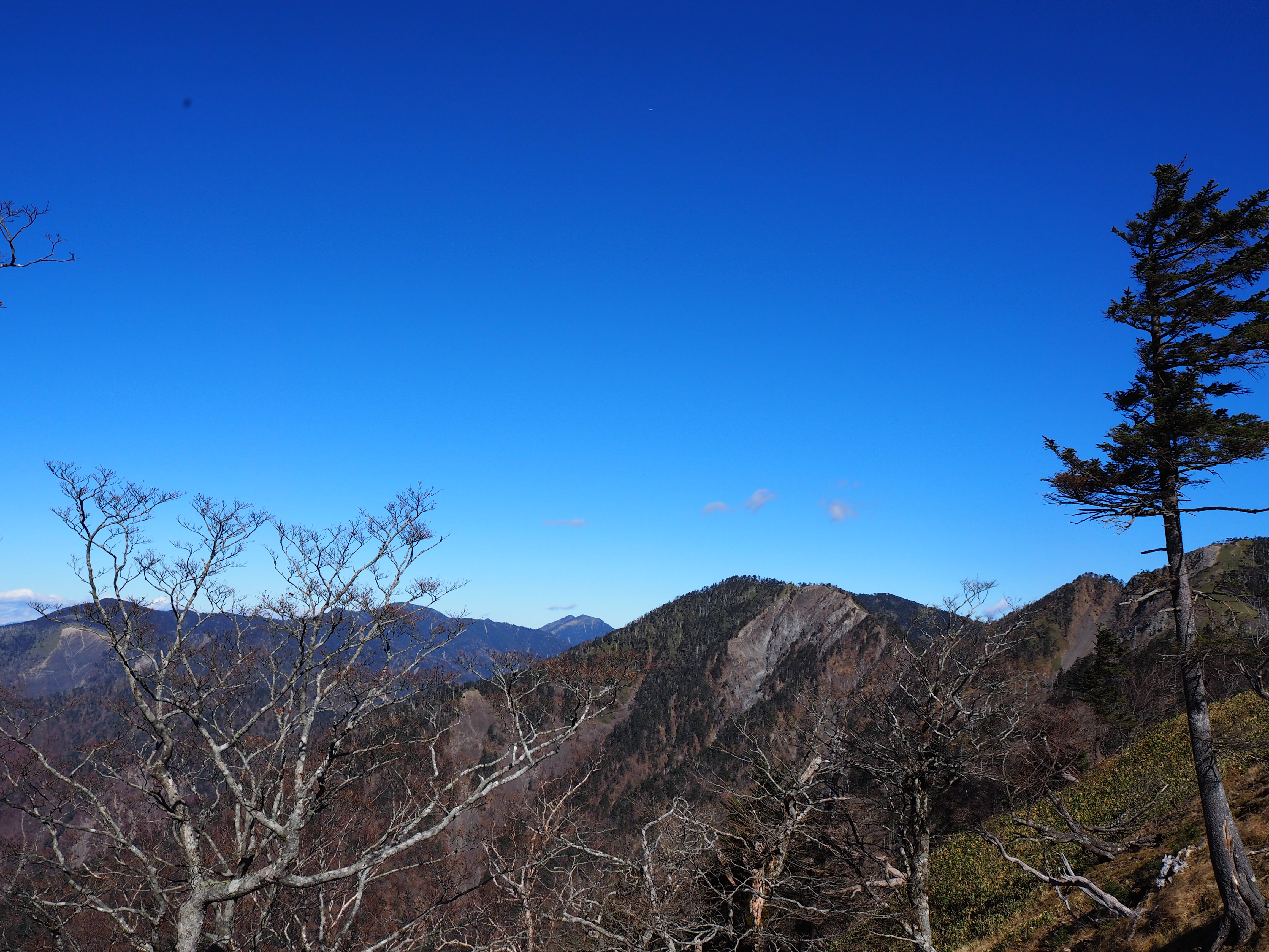
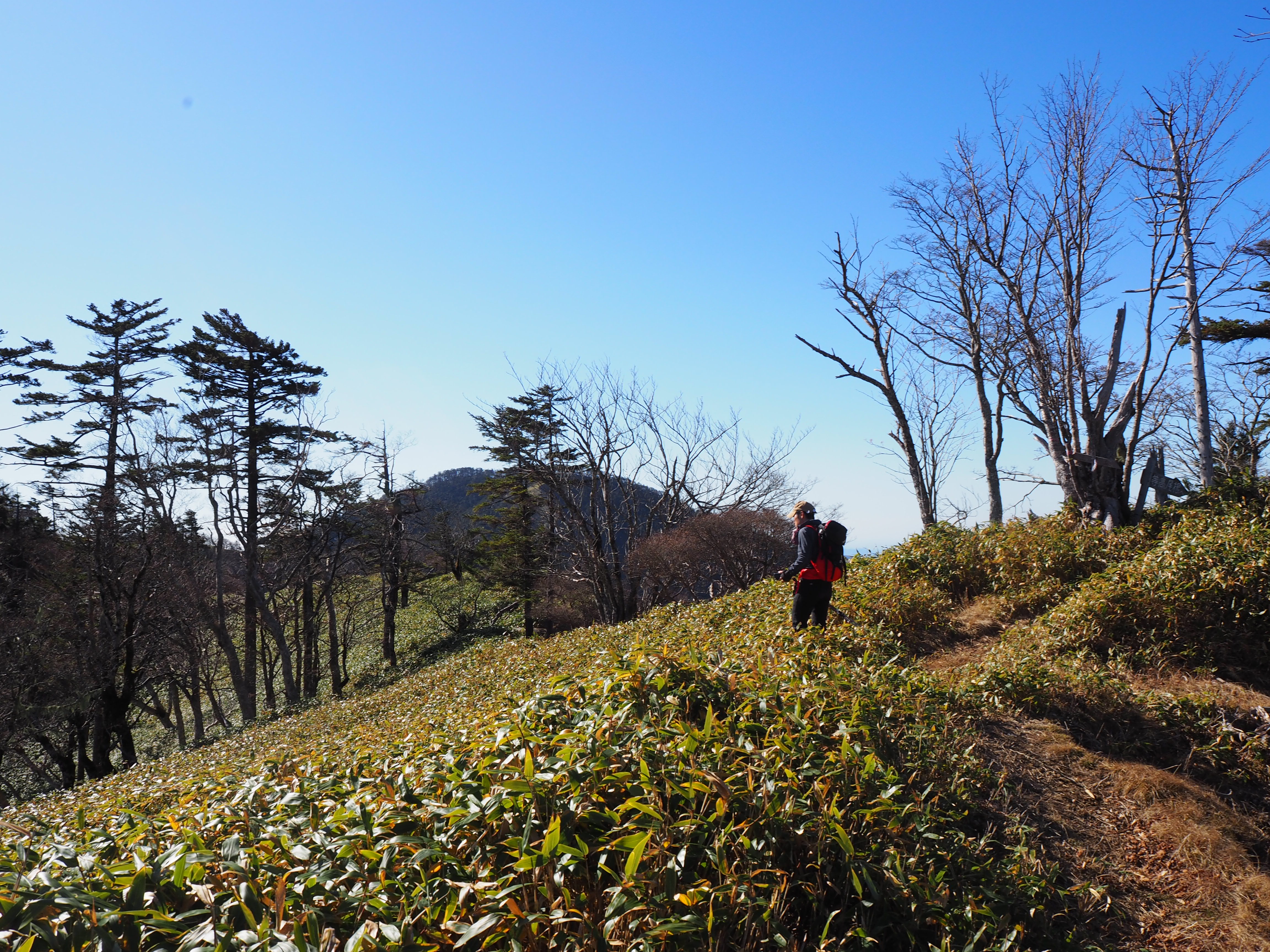
On the ridgeline, the view of Mt. Fuji will take your breath away. For the first half of the ridgeline with a great open view, you will walk through bamboo bushes. Caution must be exercised to stay on the trail. After passing the last steep slope and turning left at Bara-dani-no-kashira junction, the summit at an elevation of 2,068 m will be reached. Unfortunately, the view at the summit is not great. There is no place to sit down nicely either. However, this is the southmost peak at an elevation of 2,000 m, one of 300 top mountains in Japan. The triangulation point is slightly different from the ones of other mountains. If you are interested, please have a look. It takes over 10 hours for a round trip. You have to keep the descent time in mind while you ascend.