7th Station Route
① 7th station-trailhead ~ Uma-kaeshi ~ Shogun-daira ~ Mt. Tateshina-yama ~ Shogun-daira ~ Uma-kaeshi ~ 7th station trailhead
Technical level: B
Physical strength level: 2
Difficulty level: ⛰️
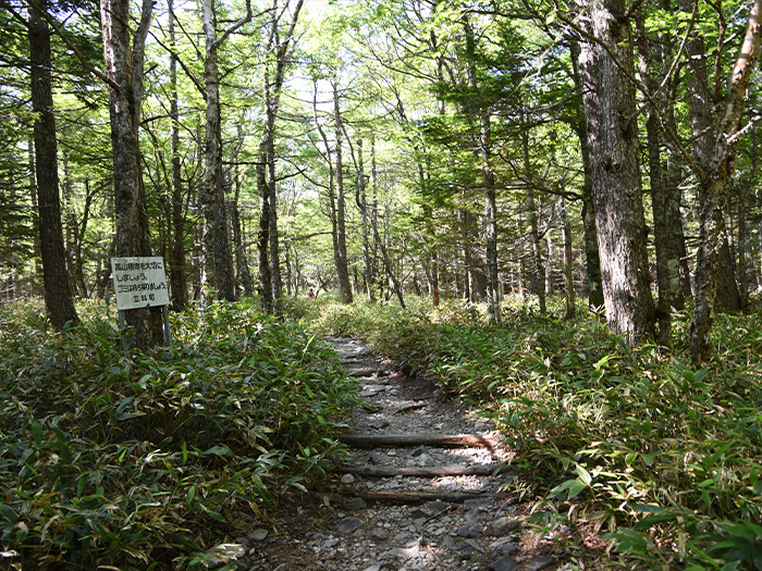
The trail starts as a covered, deep green forest and proceeds to a rocky zone, which is one of the unique features of Mt. Tashina-yama. The changing atmosphere of the trail can be enjoyed. Two mountain huts locate along the trail, however, it can be a day trip.
Access to
7th Station from Shirakaba Kogen Plateau
●Hiking data
Schedule: One day
Walking hours: 3 hours 45 minutes
(Up: 2 hours 10 minutes/Down: 1 hours 35 minutes)
Walking distance: 5.0 km
Difference in elevation: 537 m
7th station trailhead


Elevation 1,900m
↓ 20 minutes
Uma-kaeshi
Elevation 1,960m
↓ 1 hour 10 minutes
Shogun-daira
Elevation 2,353m
↓ 40 minutes
Mt. Tateshina-yama
Elevation 2,531m
↓ 30 minutes
Shogun-daira
Elevation 2,353m
↓ 50 minutes
Uma-kaeshi
Elevation 1,960m
↓ 15 minutes
7th station trailhead
Elevation 1,900m

Route Guide
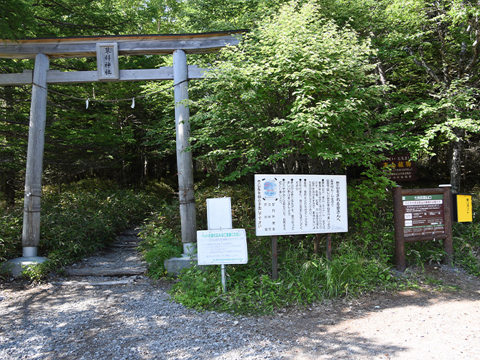
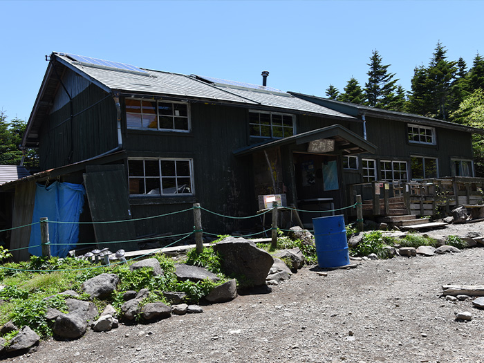
At 7th station trailhead, a parking lot, rest area and toilets are located. Go through a Shinto gateway and enter the trail. It is a bright trail. A forest walk might be refreshing. After about 10 minutes, the trail becomes gradually steep. After passing Uma-kaeshi, rocks on the trail become irregular in size. Try imagining to placing a foot in two or three steps ahead while walking. Rest while standing as you proceed from Tengu-no-roji. Be careful on loose rocks. You might agree with the sign that says “ Be careful of slipping”. When the view above your head becomes clearer, Shogun-daira, where Tateshina-sanso Mountain hut is, is reached.
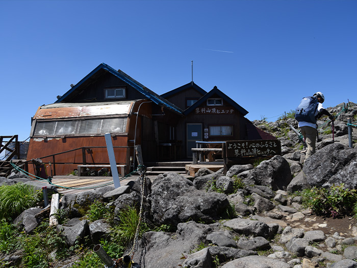
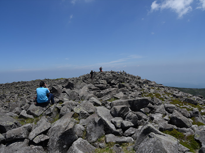
Take a rest at Shogun-daira and head to the summit. The trail leads to a forest zone and rocks are piled up on the trail. Those rocks are of large size so you have to crawl up by using both hands and feet. There is a spot where a chain is mounted but the use of the chain is not necessary.
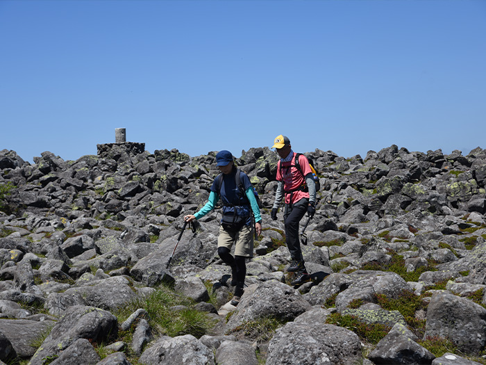
Usually for this type of rocky zone, it is dangerous to use trekking poles, however, some might say that they can be useful for those who might struggle to push their body upwards while crawling. Either way, caution must be employed when using trekking poles in rocky zones.
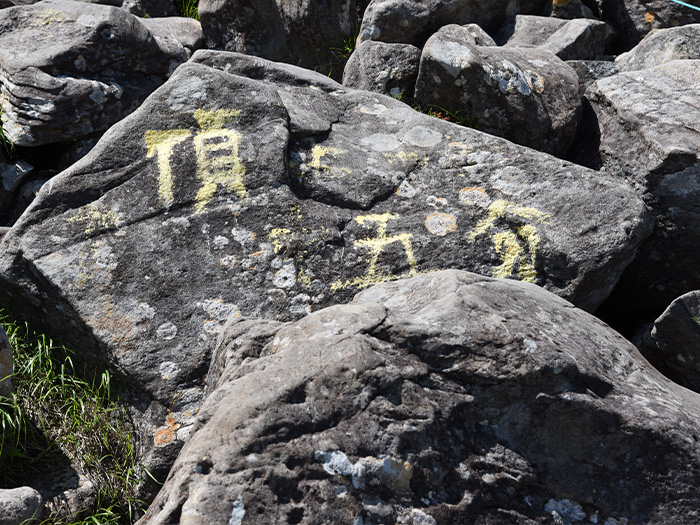
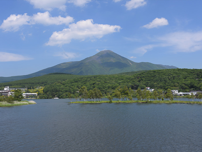
When the sky becomes clear, Iwakagami, a kind of Alpine plant, can be spotted. Try to find them at your feet. When the sign “5 minutes to the summit” is reached, the summit is very close. The summit is wide and full of small and large rocks. A small Shrine gate stands in the center. An observation board is set just ahead of the gate. The view is 360 degrees. The North Japan Alps, the South Japan Also, and the Yatsu-ga-take Mountains can be seen. From where the observation board is set, Shirakaba Lake can be seen. Enjoy the summit and descend the same trail used for ascending.