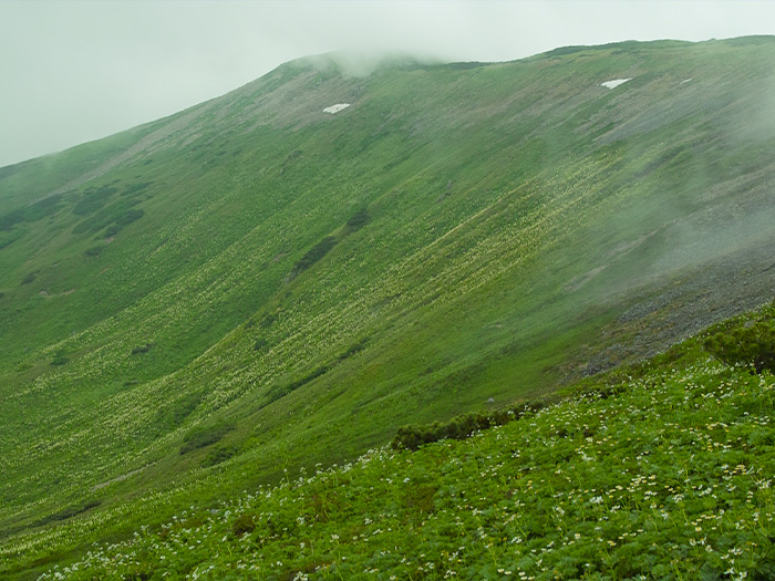
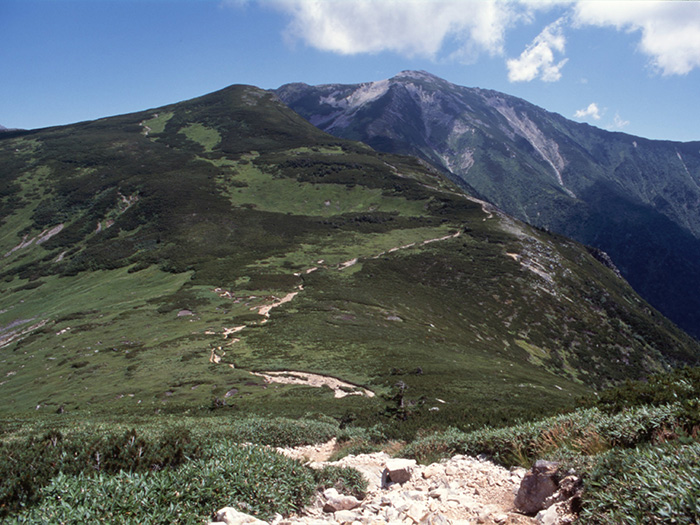
Mt. Suisho-dake is located north of the Ura-ginza ridgeline of the Northern Japan Alps. It sits on the Akaushi ridgeline, which divides the Kurobe river into a main stream and the Higsahi-sawa valley. The summit consists of two peaks. The triangulation point locates at the northern peak. The name Suisho, crystal, comes from the fact that crystal can be extracted from this mountain area. The elevation is 2,986 m. This mountain is also called Mt. Kuro-dake.
Mt. Suisho-dake: Elevation 2,986 m
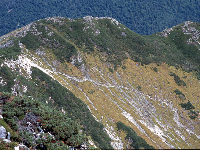
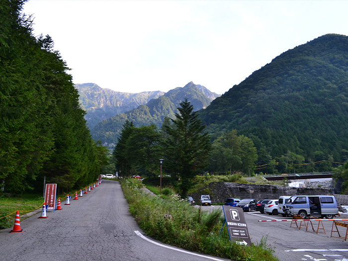
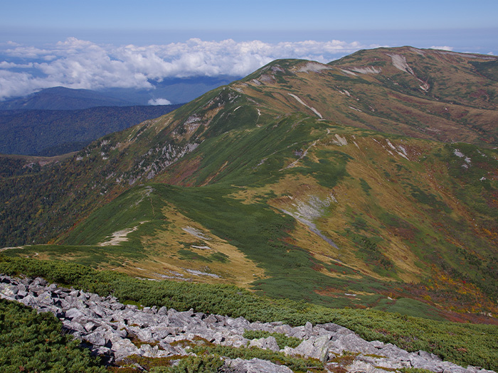
There are no trailheads, which take you straight to Mt. Suisho-dake or Mt. Washiba-dake. These mountains sit very deep in the North Japan Alps. The courses introduced here are long and require many days. It might be hard to adjust your work schedule to approach these mountains, however, once you enter the area, time will fly. If you have no experience of hiking from one mountain to another in the Japan Alps, these routes are highly recommended. The most famous and most crowded course in the Northern Japan Alps is the Omote-ginza route from Mt. Tsubakuro-dake to Mt. Yari-gatake. Once you get on the ridgeline of the Ura-ginza route in the area of Mt. Suisho-dake and Mt. Washiba-dake, you can freely make up your routes. Please feel free to customize your course besides the three routes introduced here. However, please bear in mind that you must choose your route based on your hiking experience and physical strength.
Trailhead vicinity weather
Weekly weather forecast zone:Northern Nagano Prefecture
| DAY | WEATHER | LOWEST | HIGHEST |
|---|---|---|---|
| 7/28 | 27℃ | 38℃ | |
| 7/29 | 26℃ | 38℃ | |
| 7/30 | 26℃ | 36℃ | |
| 7/31 | 27℃ | 36℃ | |
| 8/1 | 26℃ | 37℃ | |
| 8/2 | 26℃ | 38℃ |
This is a publication of the calculated figures for weather predictions and is not the weather forecast. There are instances where there will be big differences in the values stated for the mountains, in accord with the topography as well as sunlight, etc. so please take care.
72 hours weather information:Kamisaka, Okuhida Onsenkyo, Takayama City, Gifu Prefecture
| Date and time |
7/27 16:00 |
7/27 17:00 |
7/27 18:00 |
7/27 19:00 |
7/27 20:00 |
7/27 21:00 |
7/27 22:00 |
7/27 23:00 |
7/28 0:00 |
7/28 1:00 |
7/28 2:00 |
7/28 3:00 |
7/28 4:00 |
7/28 5:00 |
7/28 6:00 |
7/28 7:00 |
7/28 8:00 |
7/28 9:00 |
7/28 10:00 |
7/28 11:00 |
7/28 12:00 |
7/28 13:00 |
7/28 14:00 |
7/28 15:00 |
7/28 16:00 |
7/28 17:00 |
7/28 18:00 |
7/28 19:00 |
7/28 20:00 |
7/28 21:00 |
7/28 22:00 |
7/28 23:00 |
7/29 0:00 |
7/29 1:00 |
7/29 2:00 |
7/29 3:00 |
7/29 4:00 |
7/29 5:00 |
7/29 6:00 |
7/29 7:00 |
7/29 8:00 |
7/29 9:00 |
7/29 10:00 |
7/29 11:00 |
7/29 12:00 |
7/29 13:00 |
7/29 14:00 |
7/29 15:00 |
7/29 16:00 |
7/29 17:00 |
7/29 18:00 |
7/29 19:00 |
7/29 20:00 |
7/29 21:00 |
7/29 22:00 |
7/29 23:00 |
7/30 0:00 |
|---|---|---|---|---|---|---|---|---|---|---|---|---|---|---|---|---|---|---|---|---|---|---|---|---|---|---|---|---|---|---|---|---|---|---|---|---|---|---|---|---|---|---|---|---|---|---|---|---|---|---|---|---|---|---|---|---|---|
| Weather | |||||||||||||||||||||||||||||||||||||||||||||||||||||||||
| Temperature | 25℃ | 24℃ | 24℃ | 23℃ | 23℃ | 22℃ | 22℃ | 22℃ | 21℃ | 21℃ | 21℃ | 21℃ | 21℃ | 21℃ | 21℃ | 21℃ | 21℃ | 21℃ | 21℃ | 21℃ | 22℃ | 22℃ | 22℃ | 22℃ | 22℃ | 22℃ | 22℃ | 22℃ | 22℃ | 21℃ | 21℃ | 22℃ | 21℃ | 21℃ | 19℃ | 18℃ | 18℃ | 18℃ | 18℃ | 19℃ | 21℃ | 23℃ | 24℃ | 25℃ | 26℃ | 25℃ | 25℃ | 24℃ | 24℃ | 24℃ | 23℃ | 22℃ | 20℃ | 19℃ | 19℃ | 18℃ | 18℃ |
| Precipitation | 0mm/h | 0.4mm/h | 0mm/h | 0mm/h | 0mm/h | 0mm/h | 0mm/h | 0mm/h | 0mm/h | 0mm/h | 0mm/h | 0mm/h | 0mm/h | 0mm/h | 0mm/h | ※ 16時間以降は表示されません | |||||||||||||||||||||||||||||||||||||||||
| Wind direction |
northwest 1m/s |
northwest 2m/s |
northwest 2m/s |
northwest 1m/s |
northwest 1m/s |
northwest 1m/s |
northwest 1m/s |
northwest 1m/s |
northwest 2m/s |
northwest 2m/s |
northwest 2m/s |
northwest 3m/s |
northwest 3m/s |
northwest 3m/s |
northwest 3m/s |
northwest 3m/s |
northwest 3m/s |
northwest 3m/s |
northwest 3m/s |
northwest 3m/s |
northwest 3m/s |
northwest 3m/s |
northwest 3m/s |
northwest 3m/s |
northwest 3m/s |
northwest 3m/s |
northwest 3m/s |
northwest 2m/s |
northwest 2m/s |
northwest 2m/s |
northwest 2m/s |
northwest 2m/s |
northwest 2m/s |
northwest 1m/s |
northwest 1m/s |
northwest 1m/s |
northwest 1m/s |
northwest 1m/s |
northwest 1m/s |
northwest 1m/s |
northwest 1m/s |
northwest 2m/s |
northwest 3m/s |
northwest 3m/s |
northwest 3m/s |
northwest 3m/s |
northwest 3m/s |
northwest 3m/s |
northwest 3m/s |
northwest 3m/s |
northwest 2m/s |
northwest 2m/s |
northwest 1m/s |
northwest 1m/s |
northwest 1m/s |
northwest 1m/s |
northwest 1m/s |
※The weather information will be information on 5km square including the relevant point.
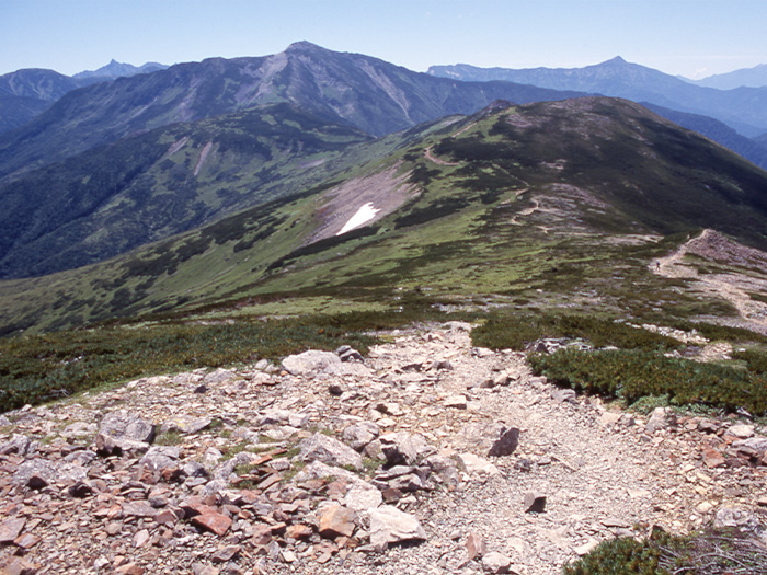
View of Mt. Suisho-dake