Mt. Tengu-dake Karasawa-kousen Route
①Karasawa mineral spring〜Nishione Daiichi Observatory〜West Tengu〜East tengu〜Nakayama Pass〜Kuroyuri Hutte〜Shibu Onsen branch〜Karasawa mineral spring
Technical level: B
Physical strength level: 3
Climbing constant 22.6
Difficulty level: ⛰️⛰️
Most people hike the standard Mt. Tengu-dake route, but this route takes you up Mt. Tengu-dake from Karasawa-kousen along the western ridge and down through Nakayama Pass in a circular route.
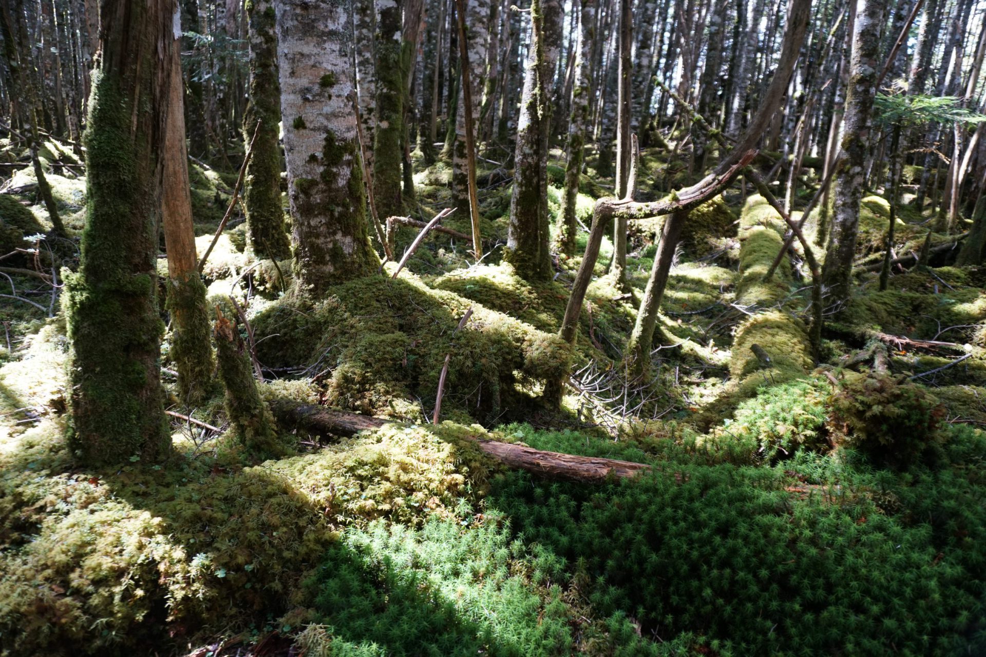
The climb up the western ridge is relatively gentle, but just before the summit is a steep, rocky climb. Meanwhile, the descent from Kuroyuri-daira is a moderate incline, but the trail is covered in rocks requiring caution as you descend. From Kuroyuri-daira to Karasawa-kousen, a beautiful mossy path, typical of the Yatsu-gatake mountains, continues. If the weather is good, you can enjoy a spectacular view of the Alps on a route rich in variety, which is a good introduction to alpine trekking on not only Mt. Yatsu-gatake, but all of the Japan Alps.
●Hiking Data
Schedule: Day trip or 1 night 2 days
Walking hours: 5 hours 40 minutes
Walking distance 8.56km
Difference in elevation: 932m
Karasawa mineral spring


Elevation 1,868m
↓ 1 hour
Withered peak branch
Elevation 2,147m
↓ 40 minutes
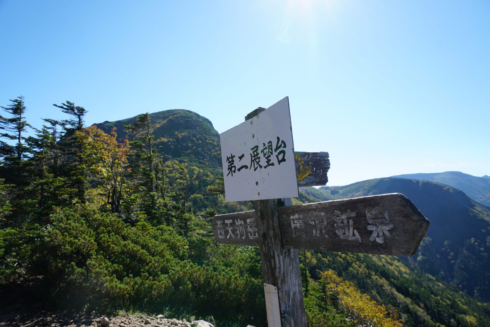
First observatory

Elevation 2,416m
↓ 30 minutes
Second observatory
Elevation 2,502m
↓ 5 minutes
Minimum col


Elevation 2,478m
↓ 35 minutes
West Mt. Tengu

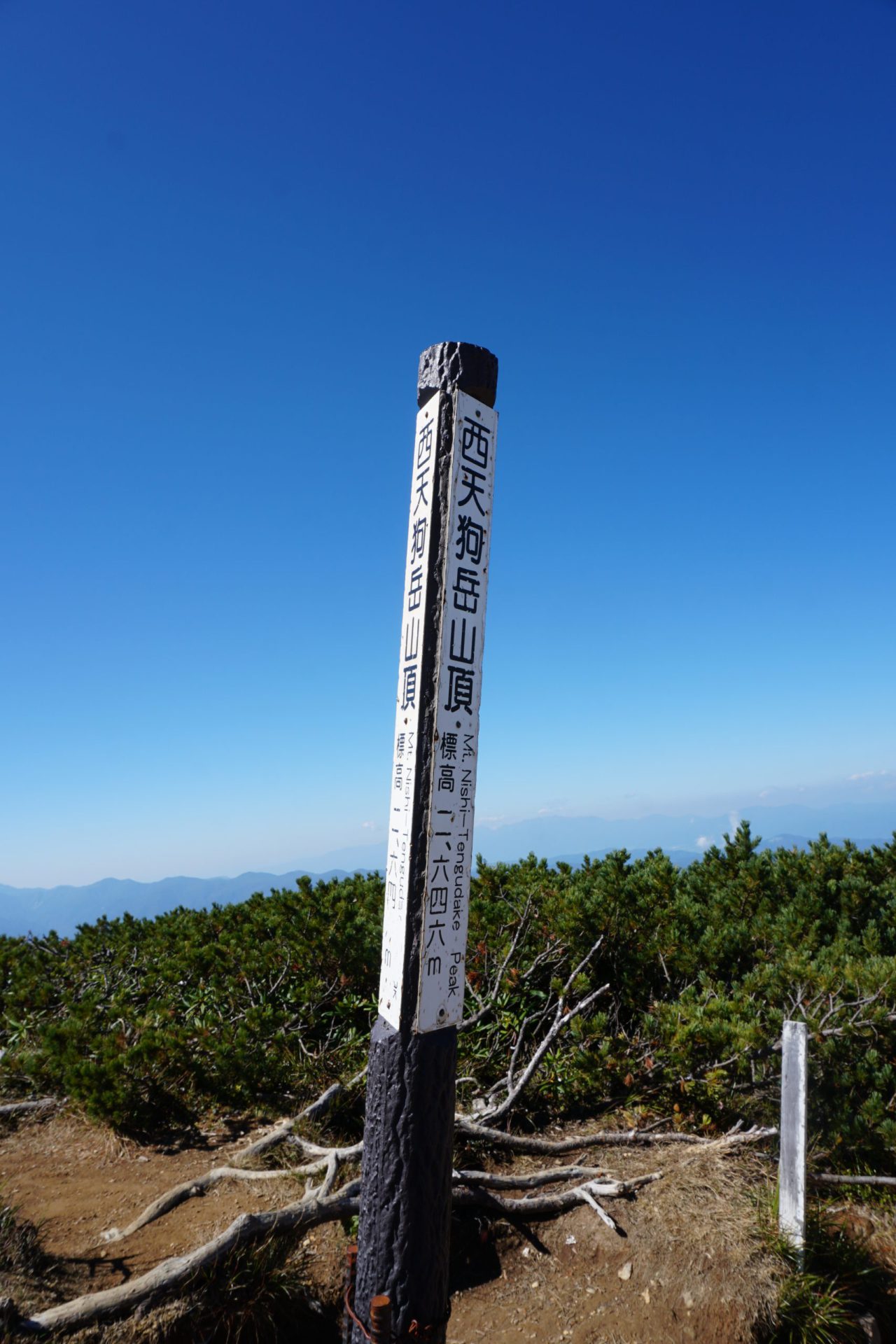
Elevation 2,646m
↓ 20 minutes
East Mt. Tengu
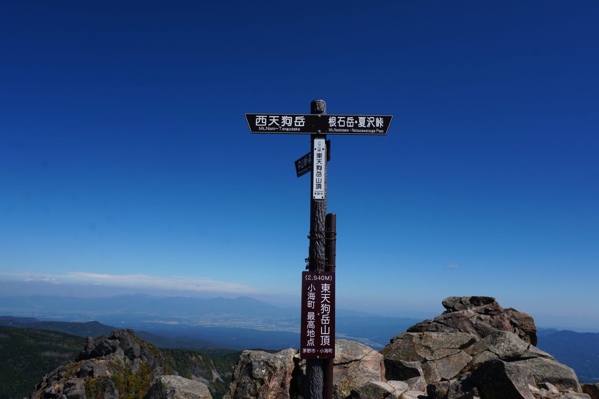


Elevation 2,641m
↓ 55 minutes
Nakayama Pass
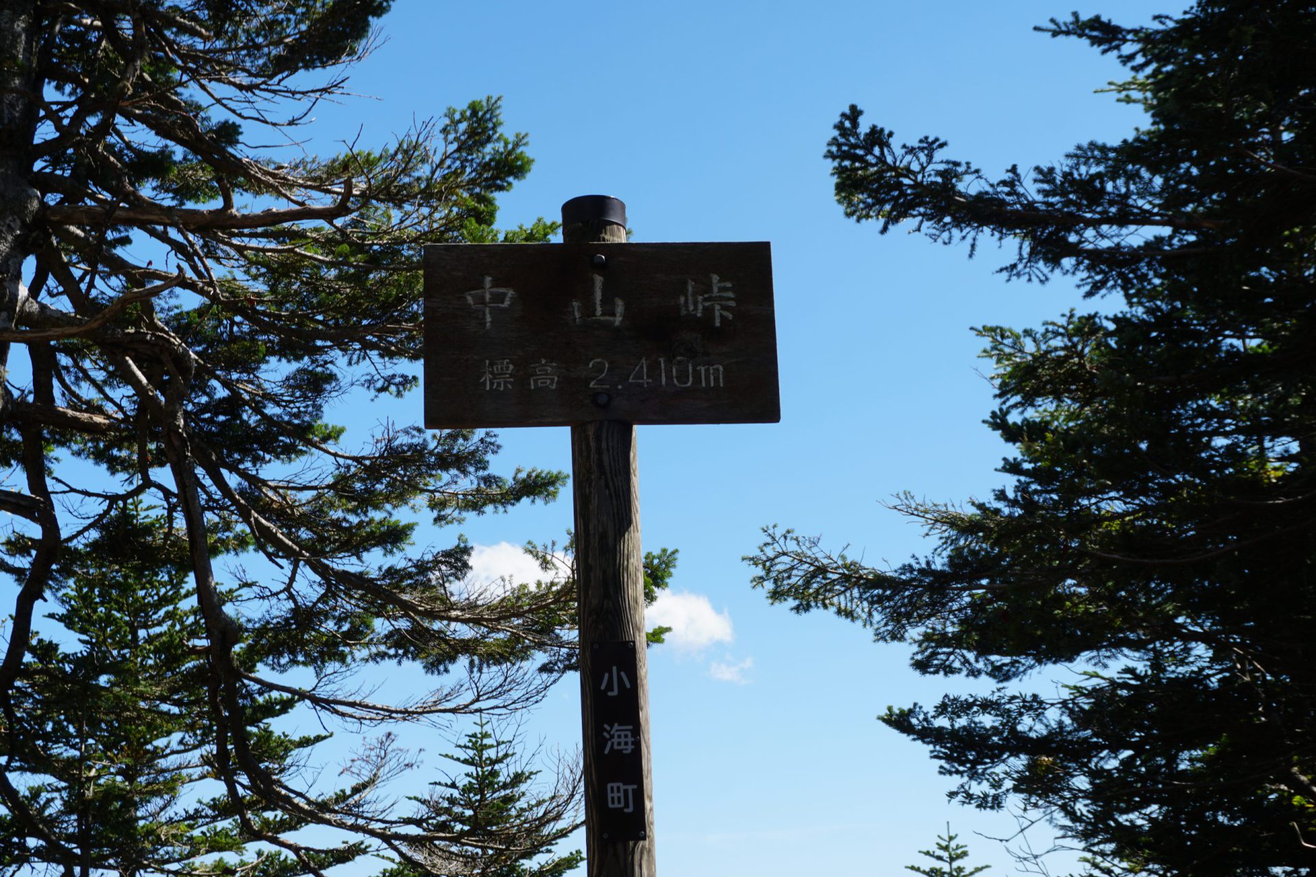
Elevation 2,406m
↓ 5 minutes
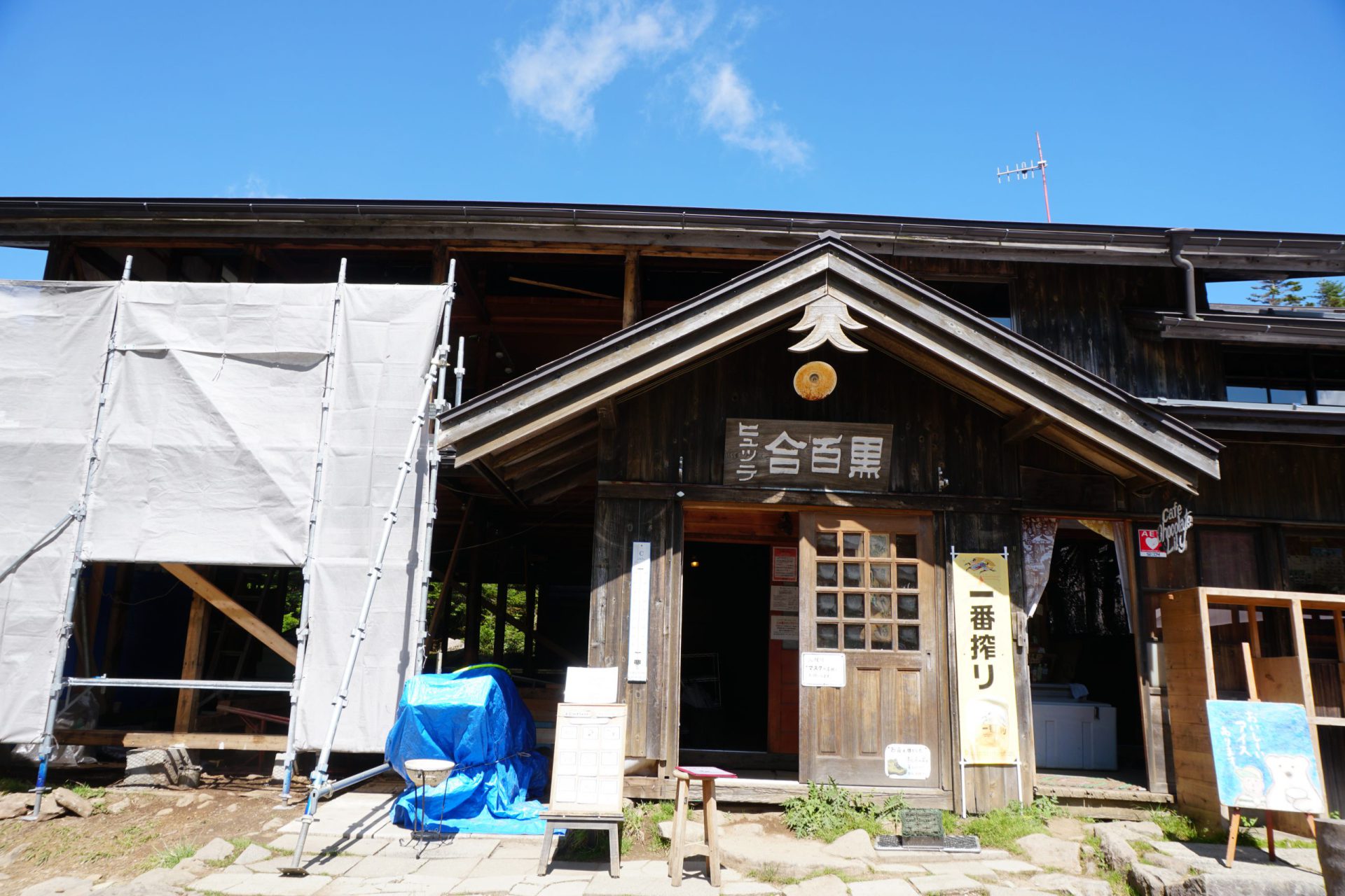
Kuroyuri Hutte
Elevation 2,394m
↓ 40 minutes
Shibu Onsen branch
Elevation 2,187m
↓ 50 minutes
Karasawa mineral spring

Elevation 1,868m
Route Guide
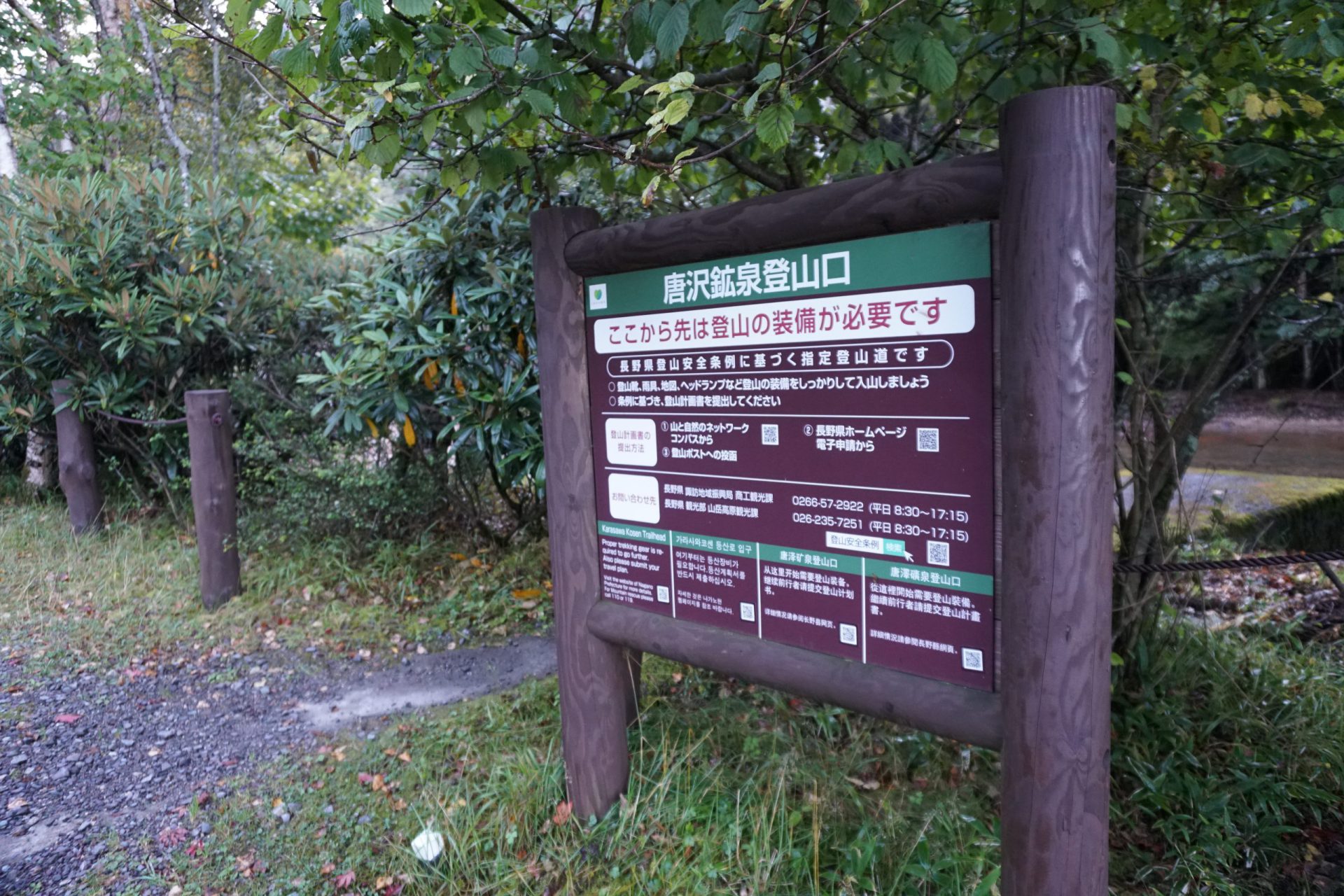
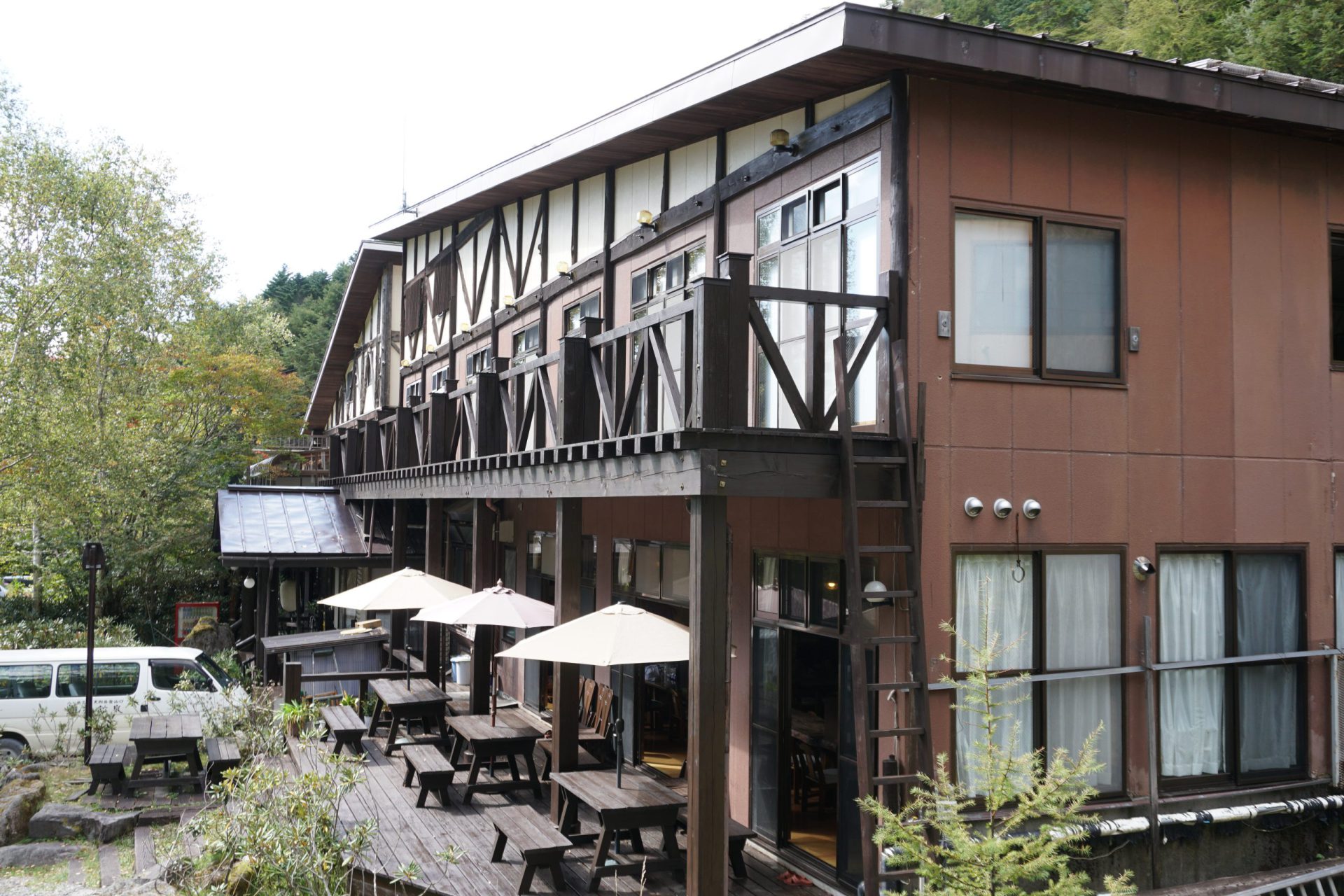
Karasawa-kousen is about one hour from the Suwa Interchange on the Chuo Expressway. There are no public bus routes. The paved road turns into a gravel road along the way. There are about 20-30 parking spaces in front of the building that houses Karasawa-kousen hot spring, but be aware that on Sundays and holidays during the busy season, the parking lost is almost full by 7:00 a.m.
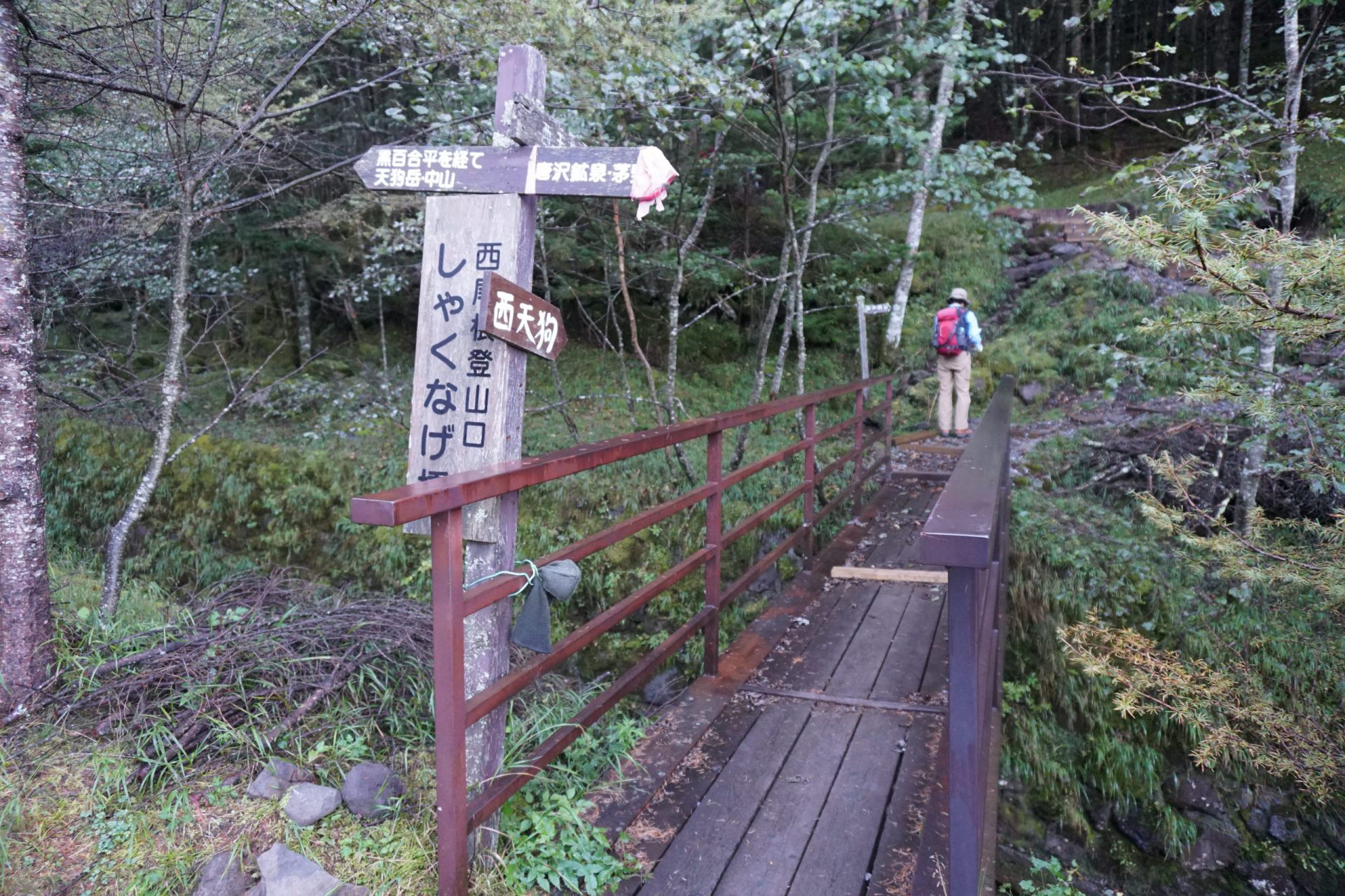
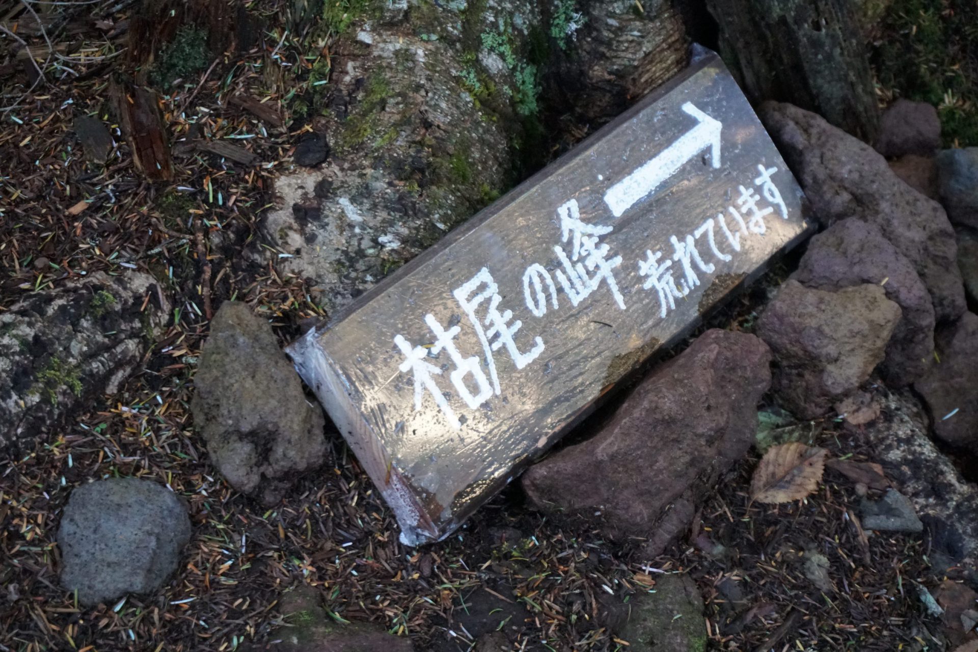
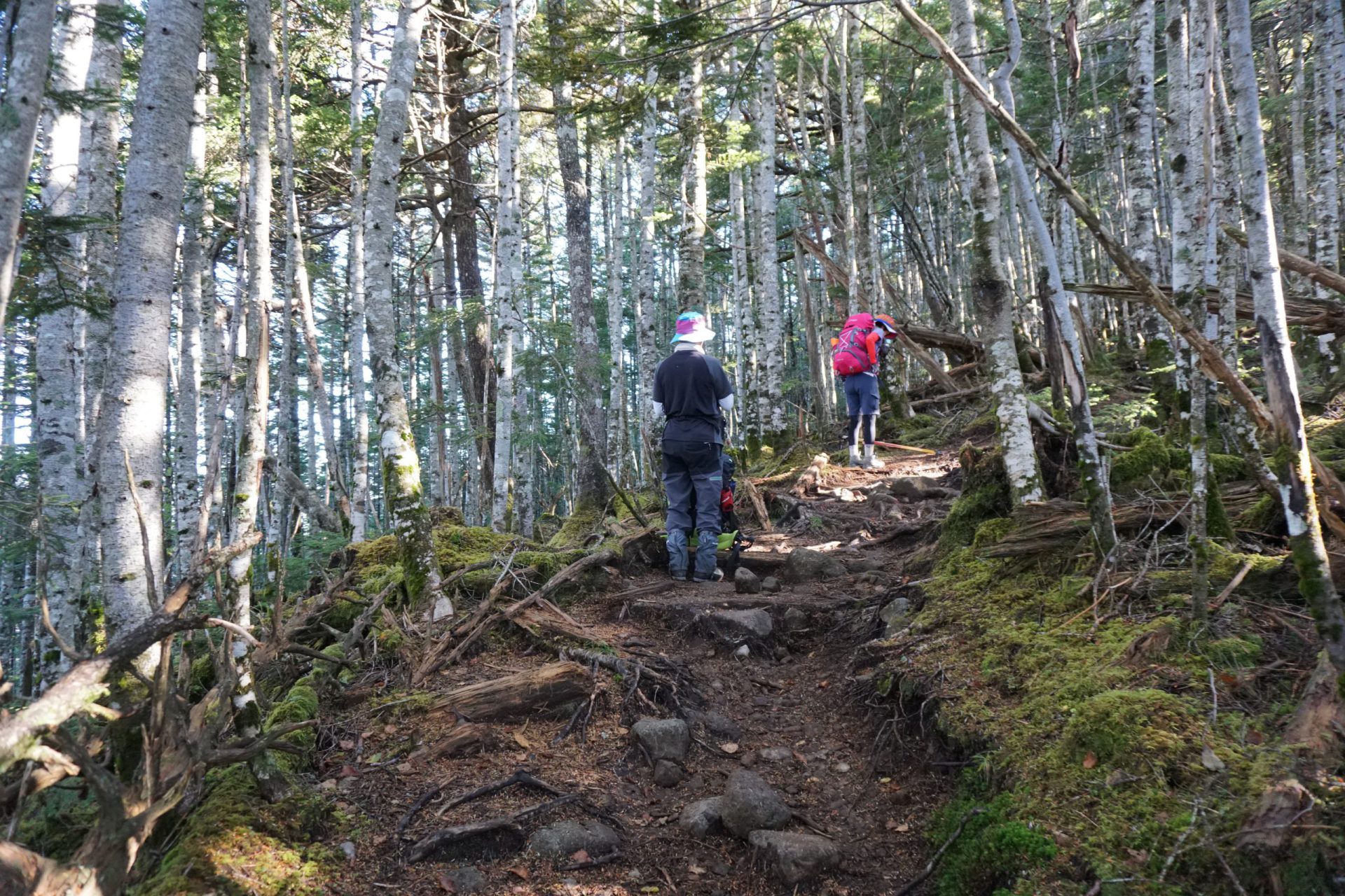
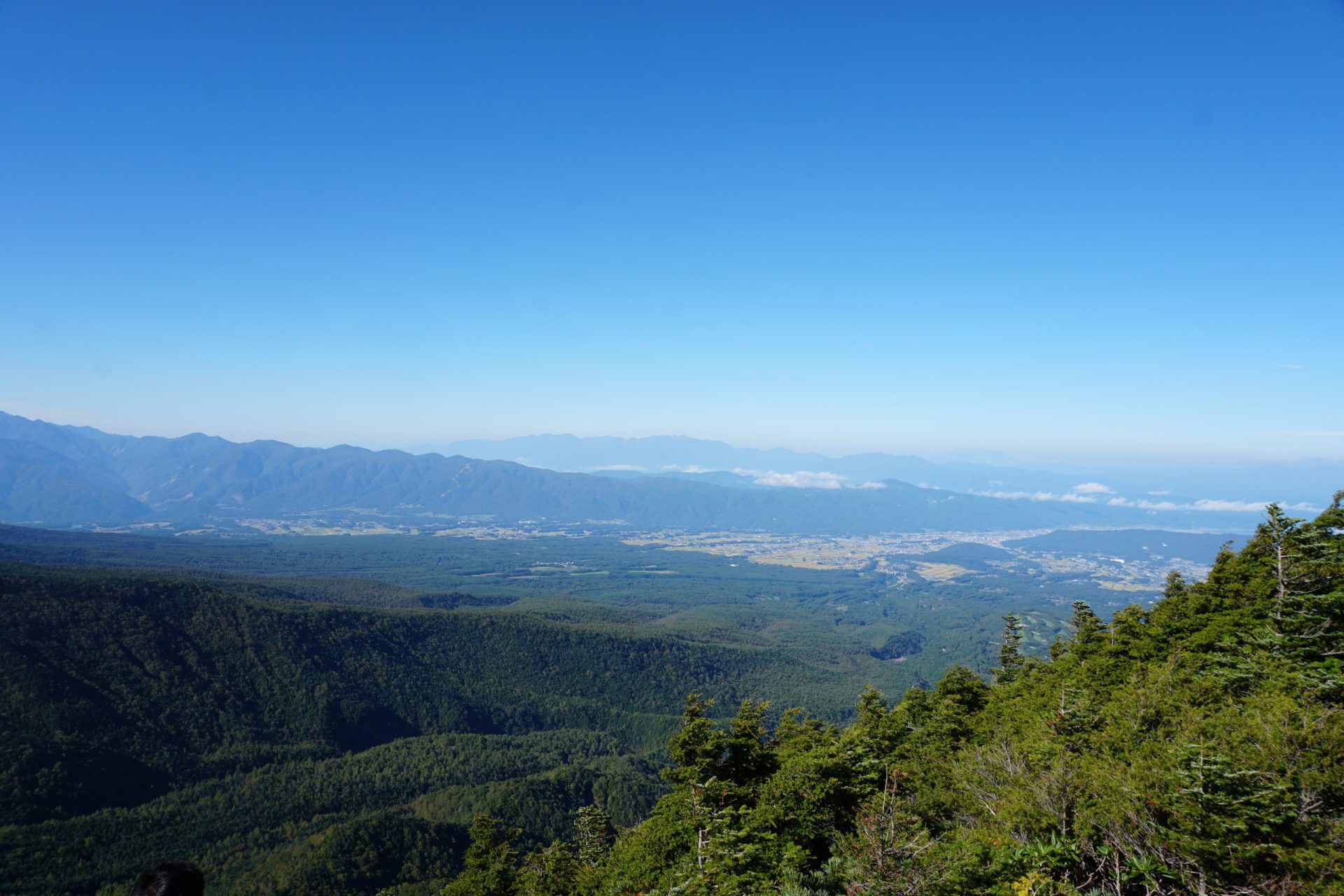
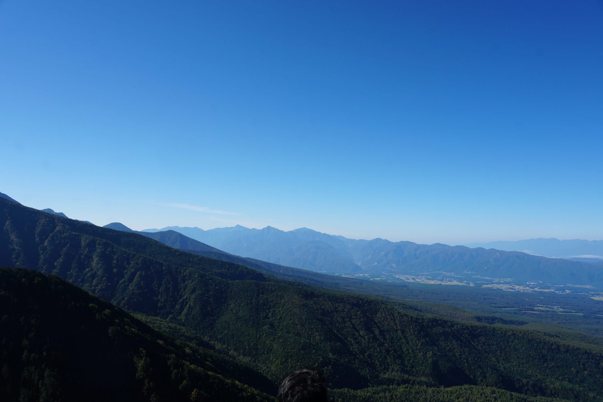
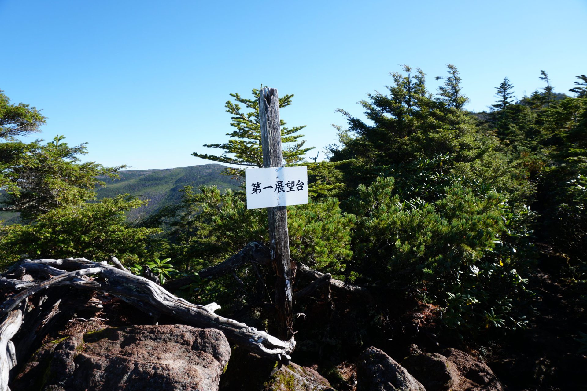
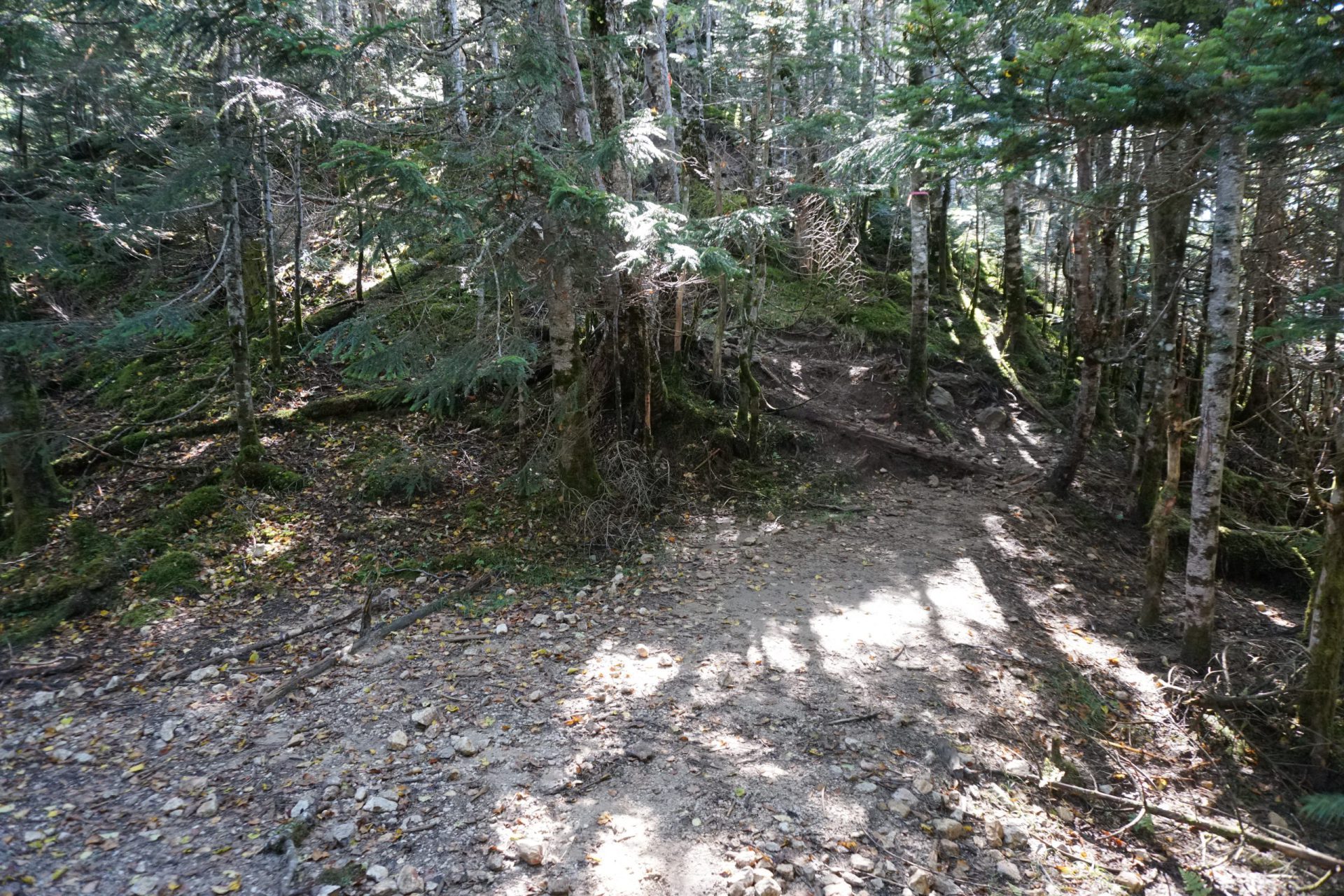
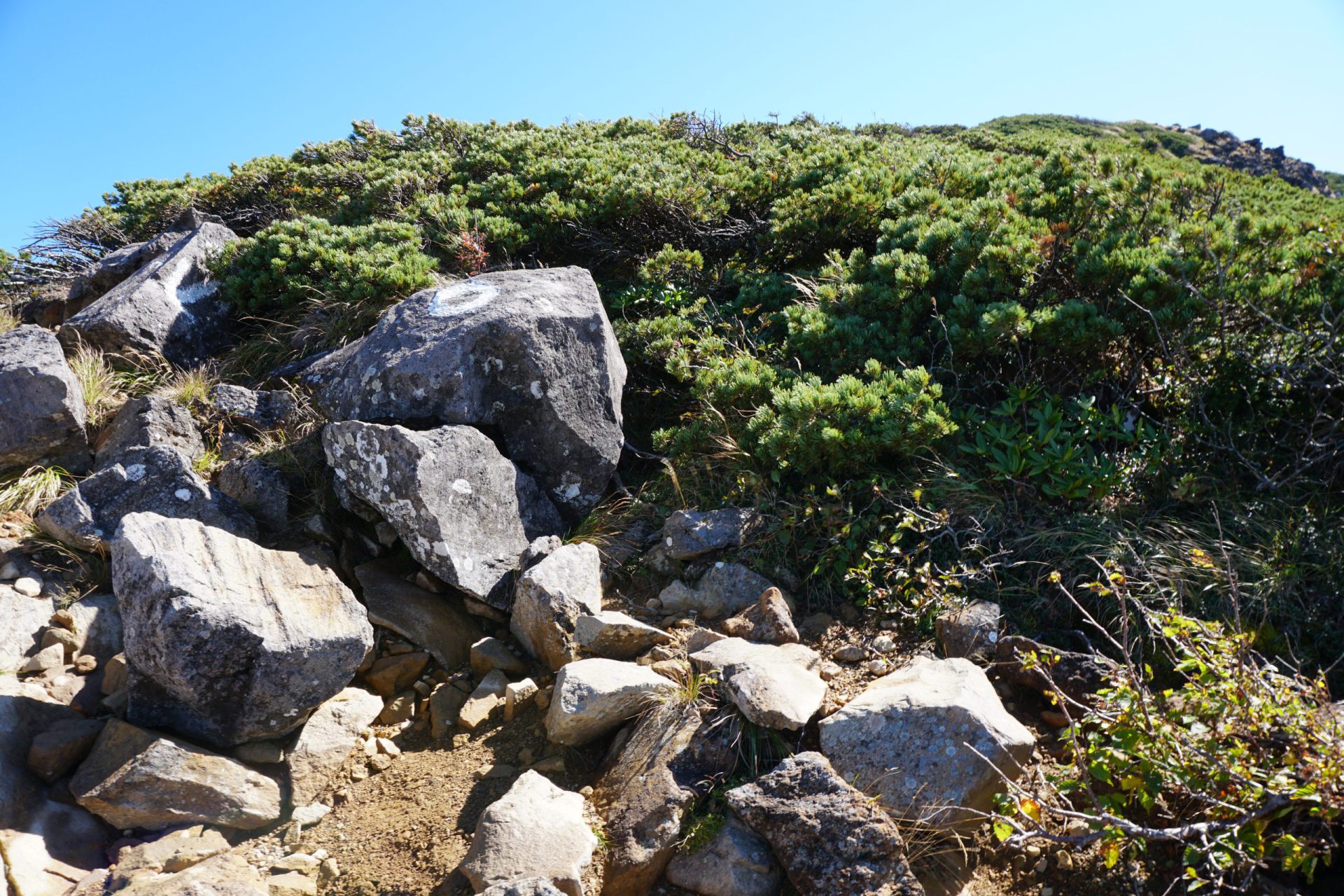
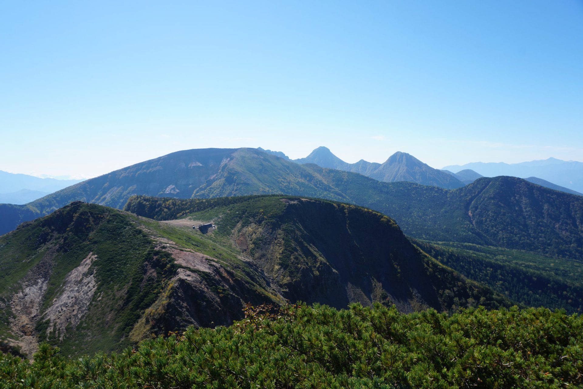
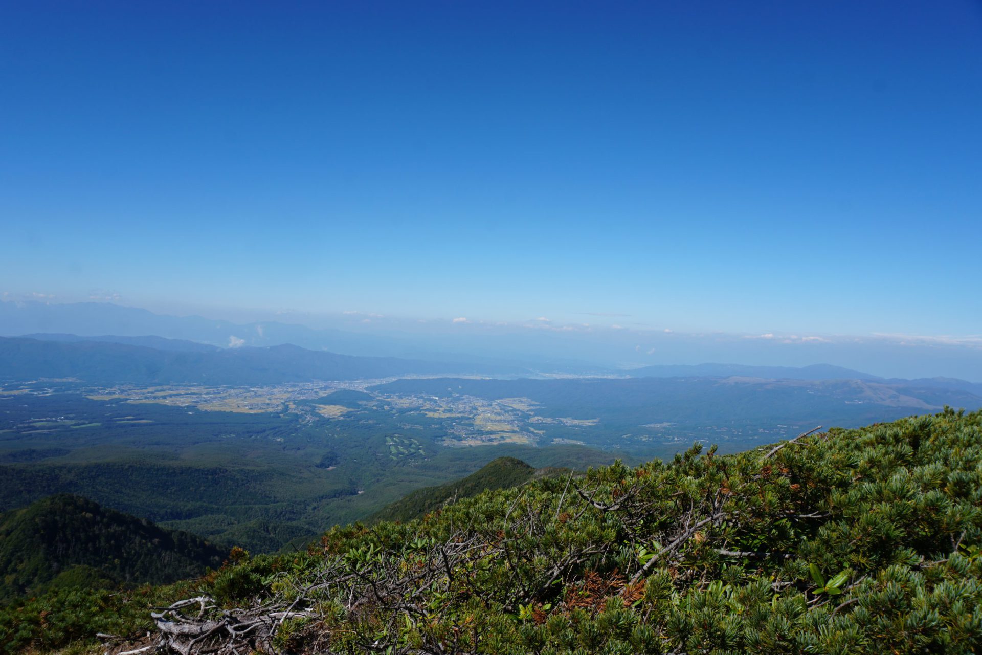
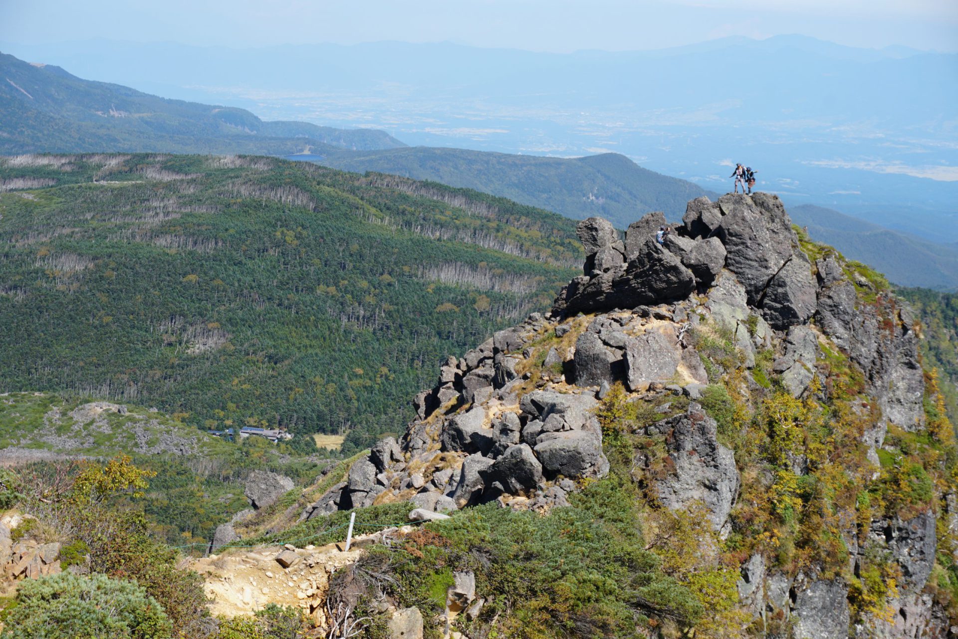
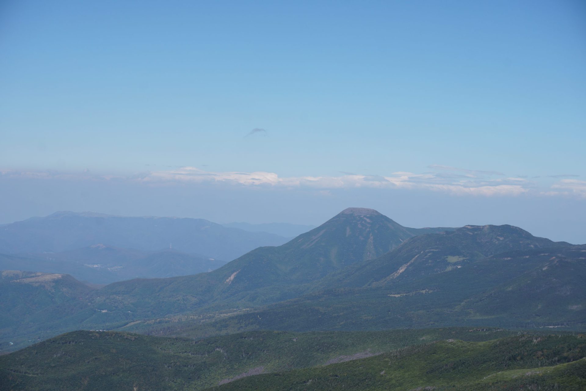
Cross the Sumina River that flows in front of the mountain hut and start your hike toward the western ridge. You will climb up through a forest in a slow zig zag. The trail is monotonous, but in roughly one hour you will arrive at a junction that diverges between a route that heads to Kareo-no-mine and one that travels along the western ridge. After taking a short break here, you’ll walk for another 40 minutes before the main peak of the Southern Yatsu-gatake Mountains comes into view. This is the observation point, and you will be able to see this view again when you reach the upper portion of Mt. Tengu-dake. In another 30 minutes you will reach the second observation point. After a slight descent, stop at the saddle to rehydrate to prepare for the steep climb that is about to start. If you are using trekking poles, put them away here for a time. Climbing for a short time, you will find yourself past the tree line where the rocky ascent begins. Be careful to always maintain three points of contact and keep the load you’re carrying on the mountain side. Those carrying heavy backpacks make sure to keep the weight in front of you. The Nishi Tengu-dake summit is about 30 – 40 minutes from the saddle, and it is the highest peak on Mt. Tengu-dake. The view in front of you is of Mt. Io-dake, to the south of that is Minami-Yatsu-gatake, to the east is Mt. Kinpu-san. There is a 360-degree view that stretches from the north where you can see from Mt. Asama-yama to Mt. Tateshina-yama, and in the south from the Ontake Mountains to the Central and Southern Alps.
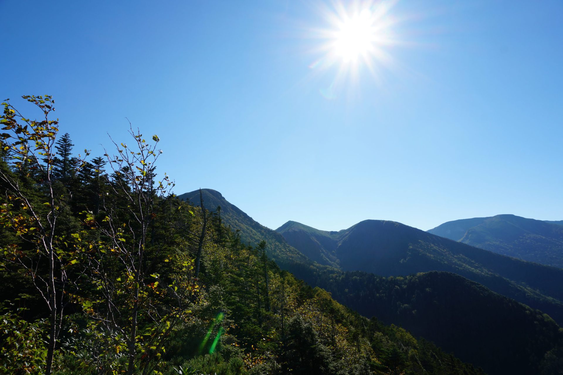
If you walk 20 minutes from here, you can stop at Higashi-Tengu. Looking at the east valley, you can see the side of Mt. Yatsu-gatake that falls off in a steep drop, differing from the west side. You can also see Midori Pond and Shirabiso-koya mountain hut far below.
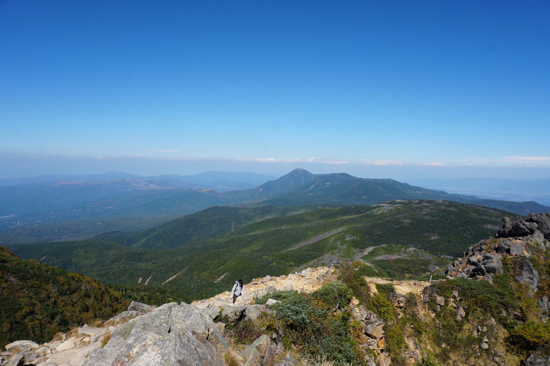
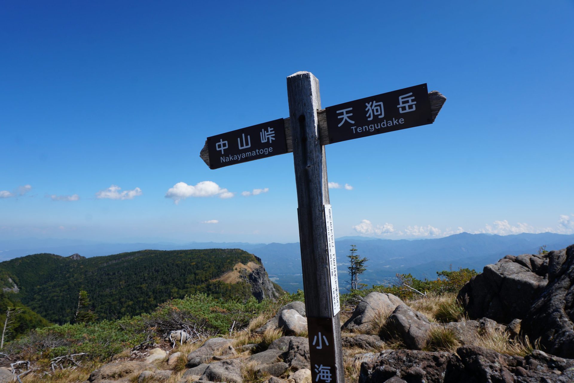
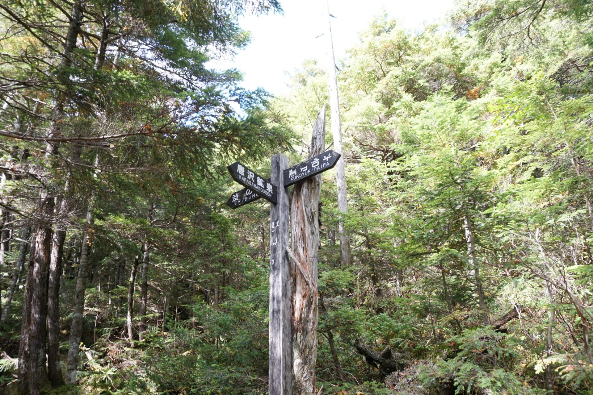
From the Higashi-Tengu summit, if you descend along the ridge heading north for about an hour, you will arrive at Nakayama Pass.
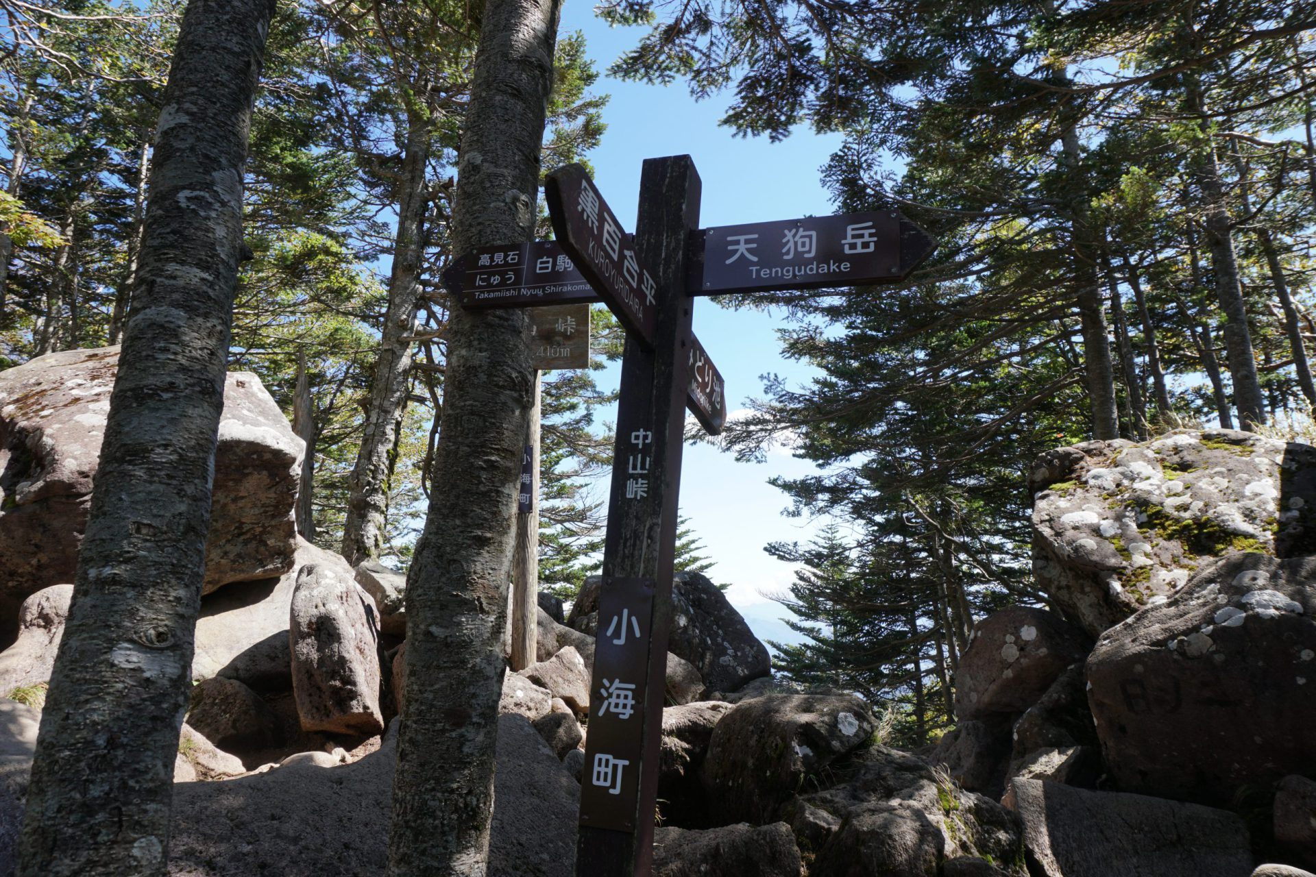
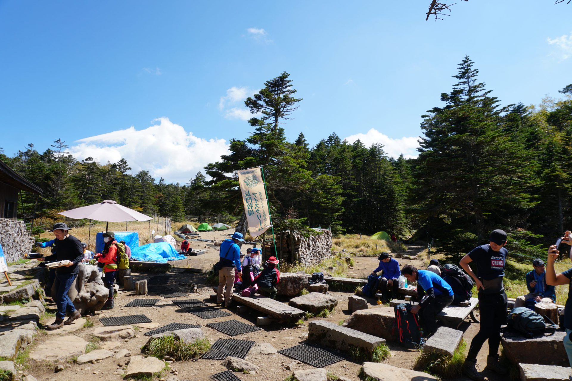
This route offers relatively good views of Mt. Tateshina-yama as you descend, but an increasing number of rocks cover the trail, so please be careful. Going straight from Nakayama Pass, you will be heading toward the heart of the Northern Yatsu-gatake mountains by way of Takamiishi. Once you make it this far, Kuroyuri-daira is a stone’s throw away. Continuing down the tree-lined trail that stretches to the right for five minutes, you will arrive at the tent site Kuroyuri Hutte mountain hut, which stands just beyond that.
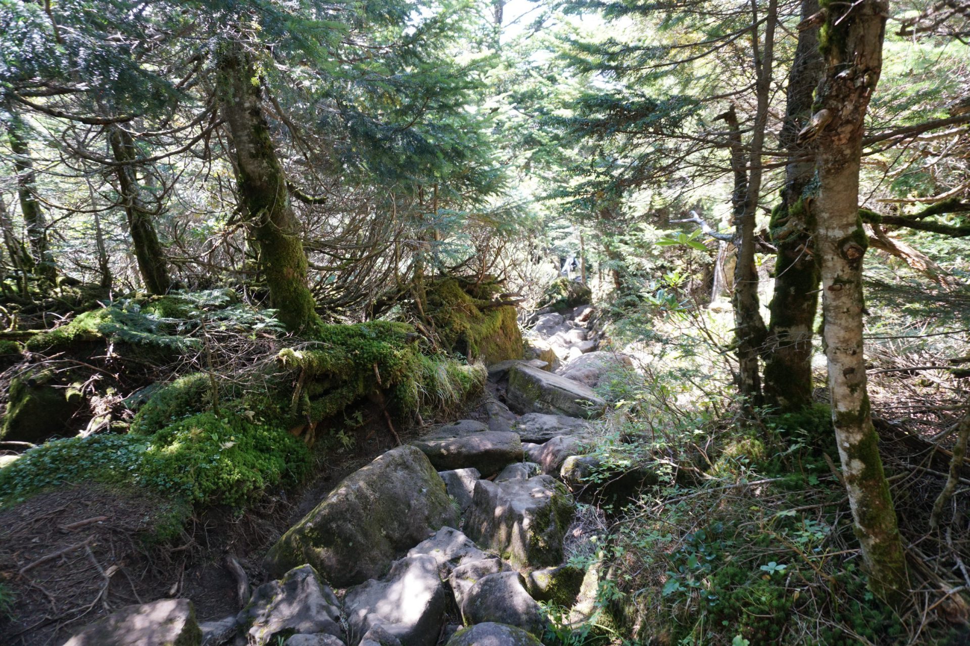
The mountain trail that descends to the west from here is not such a sharp incline, but the first half of the decline down to the junction that diverges to Shibu Onsen is a trail entirely covered in rocks that you will have to walk across. Please take care with each step. Walking across the rocks is unavoidable, but please try to walk on the ground under the rocks as much as possible to reduce the risk of falling. Also, if you step on the tree roots that grow vertically, it is almost guaranteed that you will slip and fall, so please be careful.
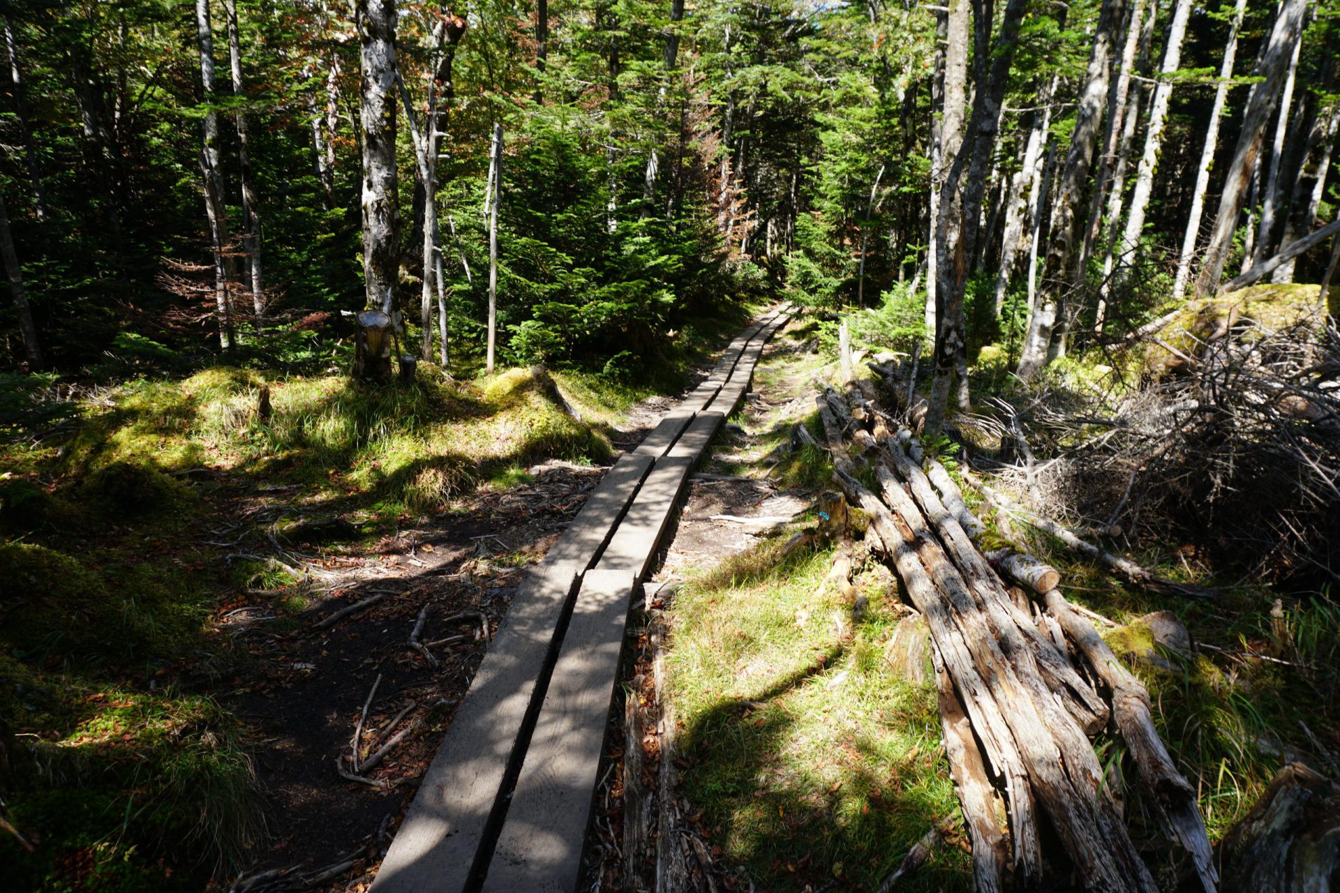
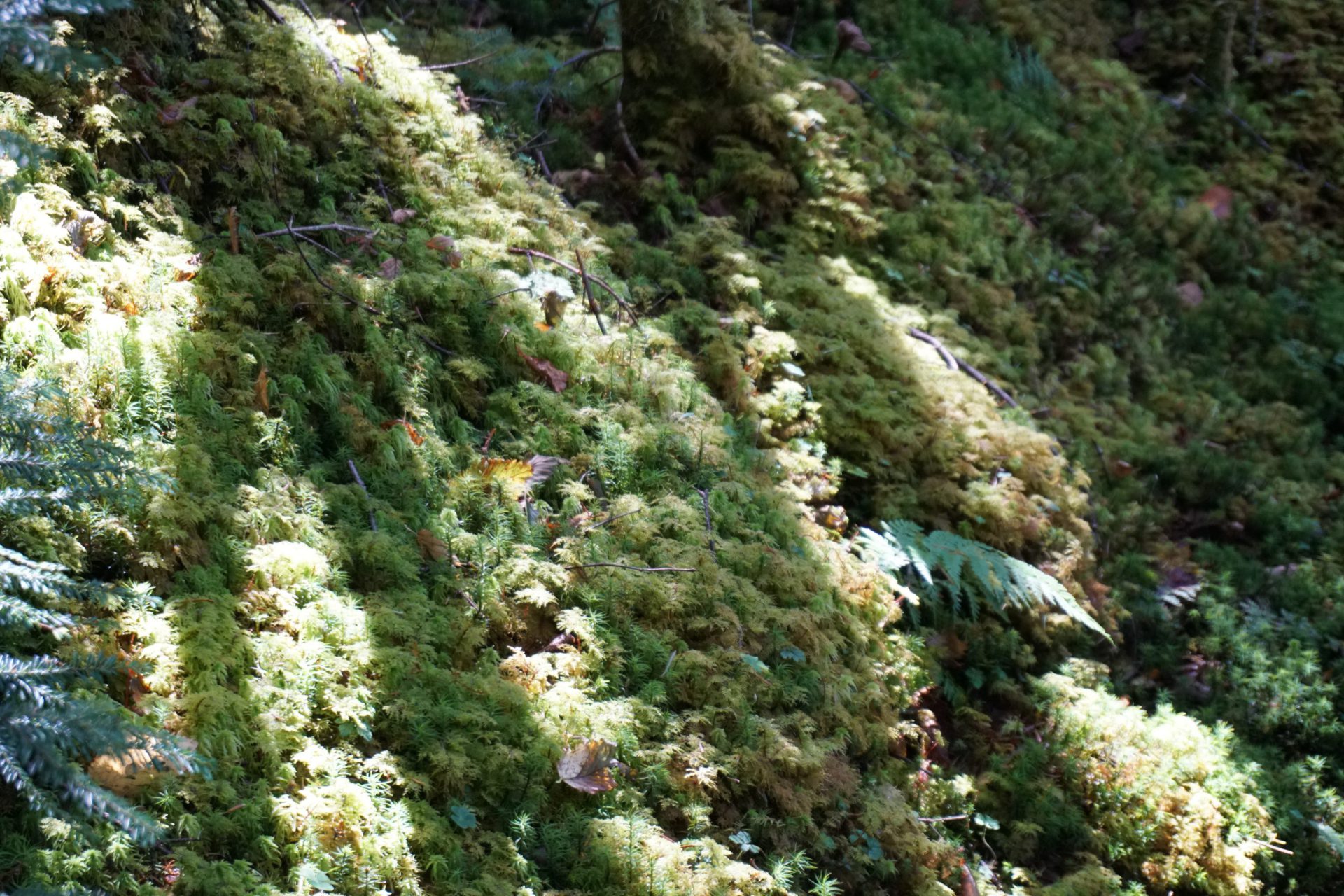
The slope becomes even more gradual from the Shibu Onsen junction, and the trail is a wonderful trekking route through a beautiful mossy forest. About an hour and a half after leaving Kuroyuri Hutte, you will return to Karasawa-kousen. Taking a bath in the hot spring at Karasawa-kousen may be nice, but there are also unique hot springs along the way back to the city of Chino, so please look into them before you go.