Kita-yatsu-Tateshina Route
② Kitayatsugatake Ropeway Sancho Station~Kitayokodake~Kameko Pond~Twin Pond~Twin Mountain~Okawara Pass~Shogundaira~Tateshina Mountain~Suzuran Pass Tateshina Mountain Trailhead
Technical level: B
Physical strength level: 5
Difficulty level: ⛰️⛰️
This is an introductory traverse route to Kita-Yatsu-gatake and Mt. Tateshina-yama, one of Japan’s 100 most famous mountains.
This is a mini traverse route that heads north from the Kita-Yatsu-gatake Ropeway, takes you through Mt. Kita-yoko-dake to spend the night at Futago-ike Hutte, and then takes you around one of Japan’s most famous 100 mountains, Mt. Tateshina-yama. This introductory traverse route allows you to enjoy both the serenity of Kita Yatsu and popular Tateshina. We recommend staying at Futago-ike Hutte but pitching a tent and spending the night on the banks of the pond can also be a luxurious way to pass the time.
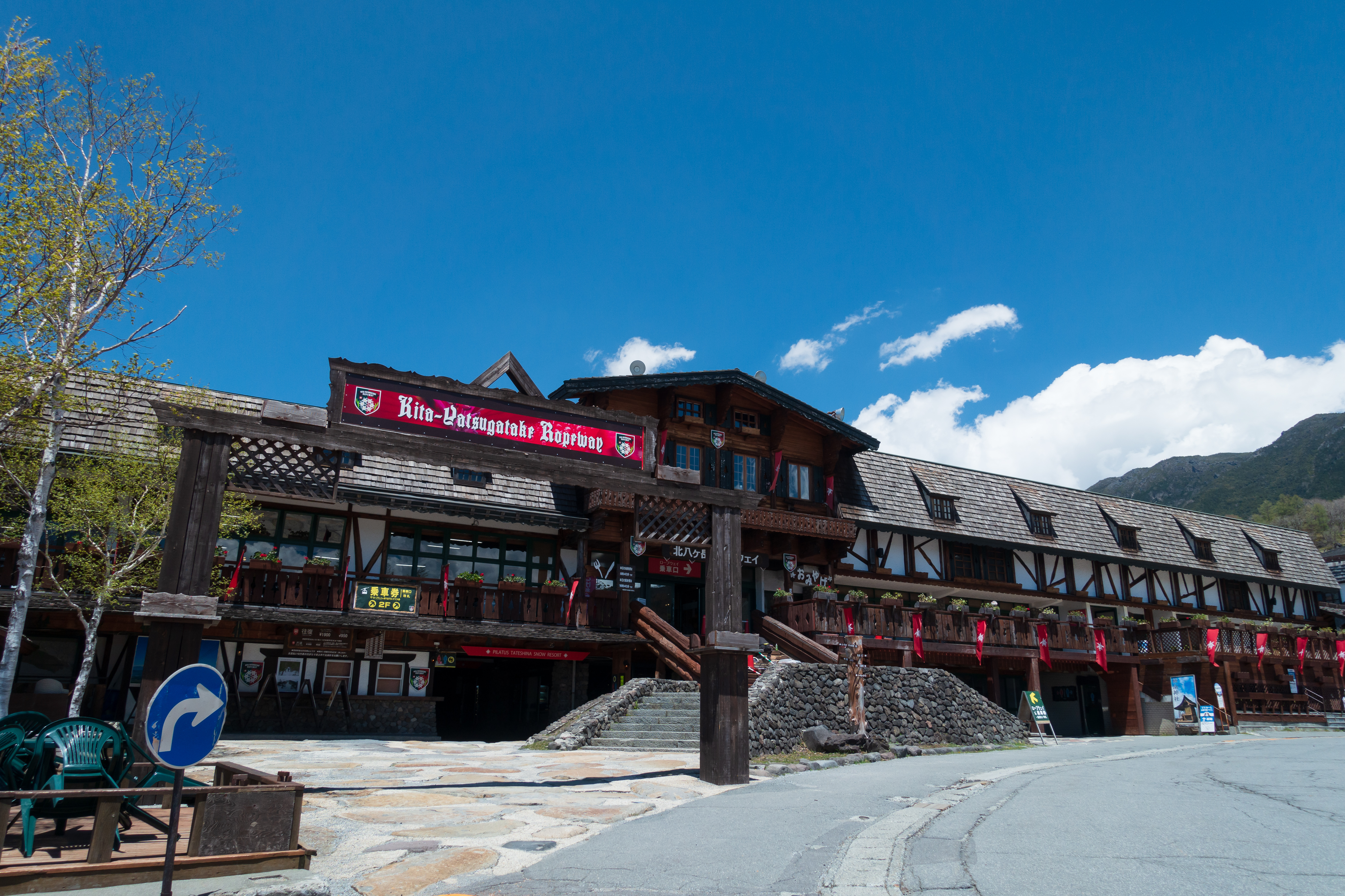
Access to Kitayatsugatake Ropeway
Access to Suzuran Pass Tateshina Trailhead
●Hiking Data
Schedule: 1 night 2 days
Walking hours: 9 hours 5 minutes
Walking distance 12.4 km
Difference in elevation: 1,073.9 m
(The cumulative elevation difference is 1,583m)
Kitayatsugatake Ropeway Sancho Station

Elevation 2,230m
↓ 1 hour 10 minutes
Kitayokodake
Elevation 2,480m
↓ 1 hour
Kameko Pond

Elevation 2,028m
↓ 40 minutes
Twin pond

Elevation 2,031m
↓ 45 minutes
Twin mountains


Elevation 2,223m
↓ 20 minutes
Okawara Pass
Elevation 2,088m
↓ 1 hour 45 minutes
Shogun Hei
Elevation 2,351m
↓ 45 minutes
Tateshina mountaintop Hutte
Elevation 2,518m
↓ 5 minutes
Tateshina mountaintop
Elevation 2530.7m
↓ 5 minutes
Tateshina Shrine Okumiya

Elevation 2,528m
↓ 5 minutes
Mountaintop directional board trace
Elevation 2,529m
↓ 1 hour 20 minutes
Observatory
Elevation 2,083m
↓ 1 hour
Tateshina mountain climbing entrance

Elevation 1,723m


Route Guide
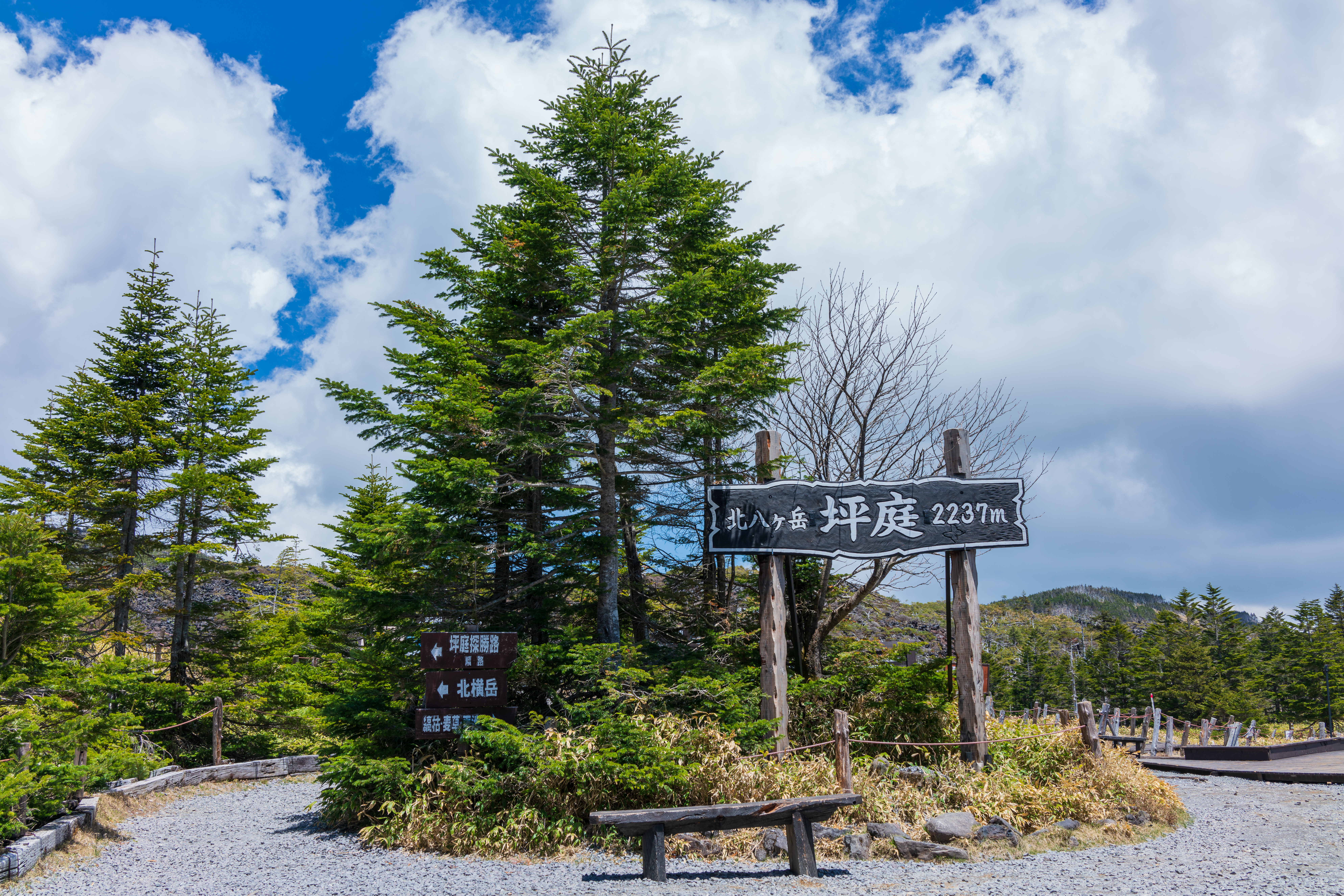
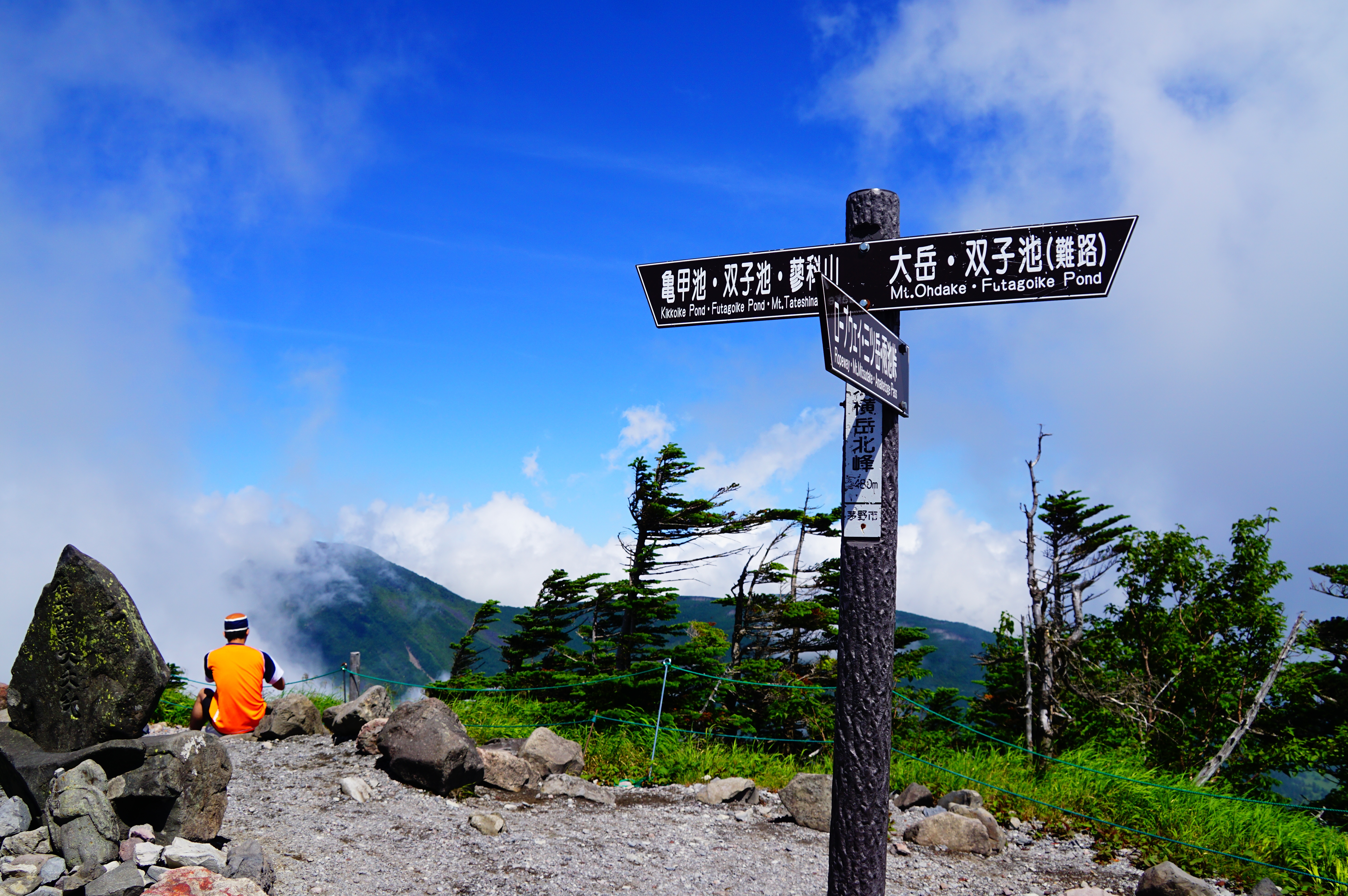
①Kita-Yatsu-gatake Ropeway Summit Station Elevation 2,230 meters
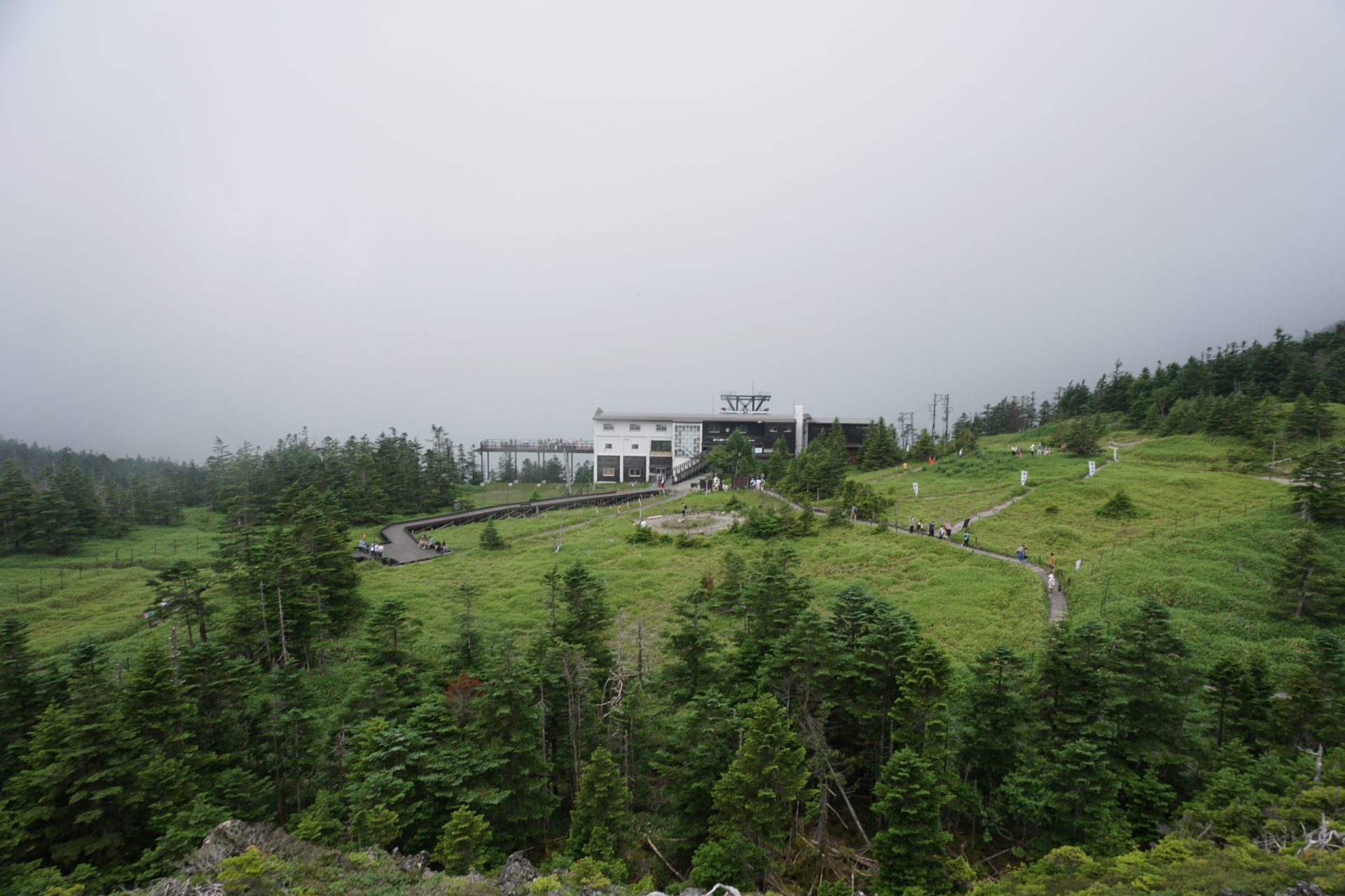
Our hike starts from the Kita-Yatsu-gatake Ropeway summit station.
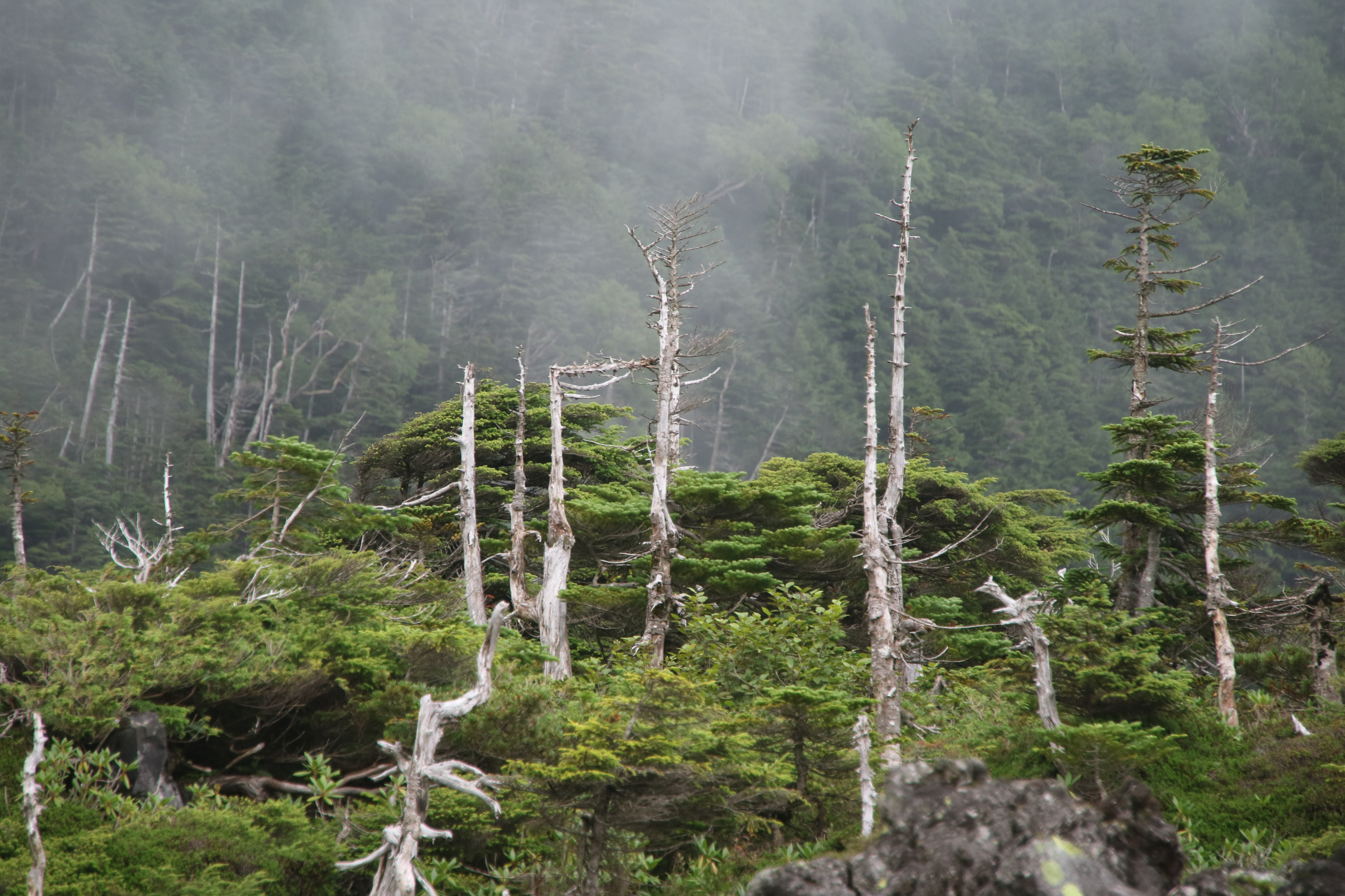
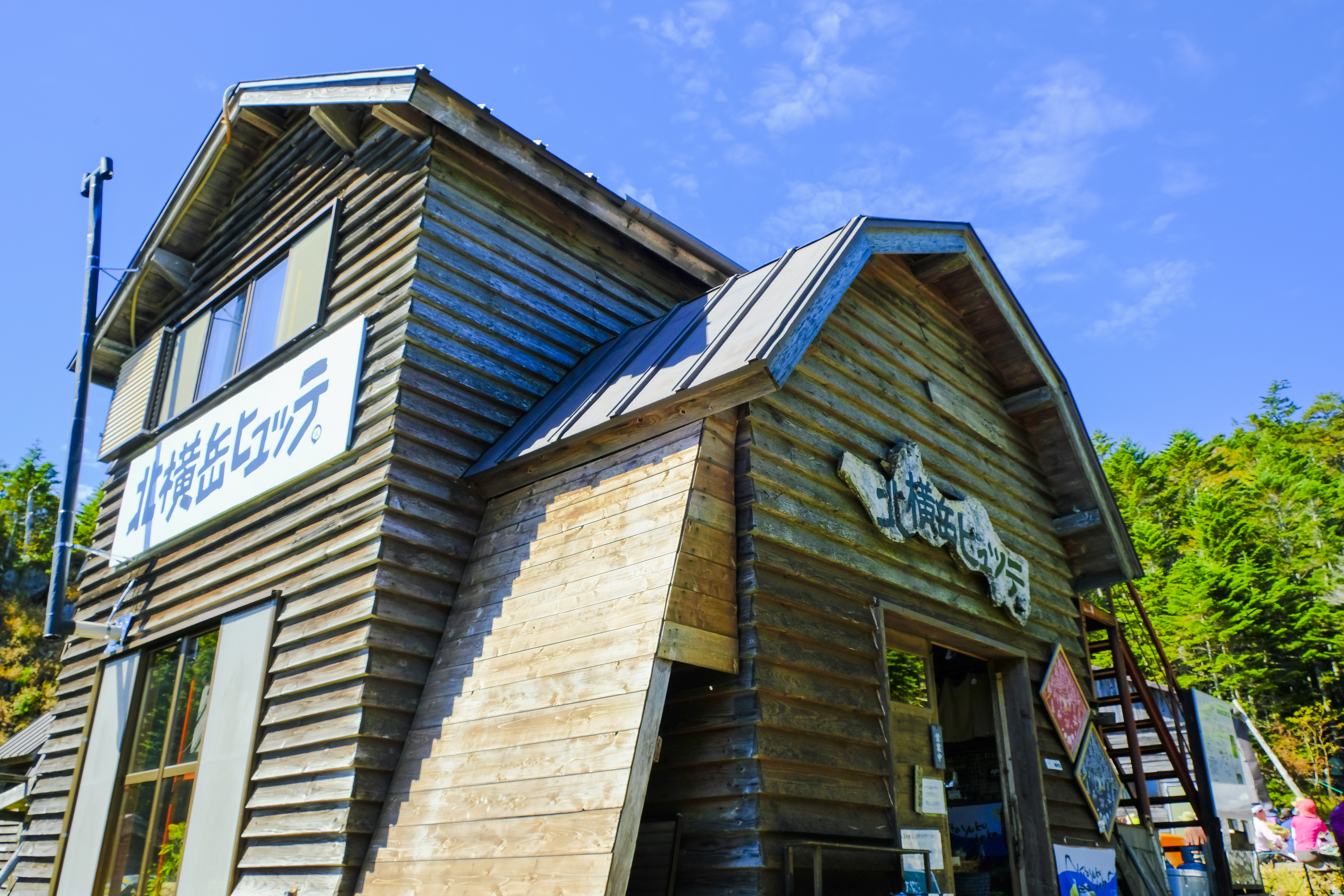
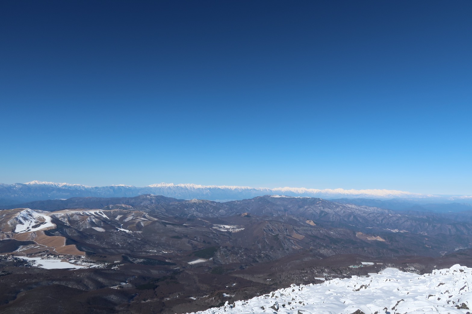
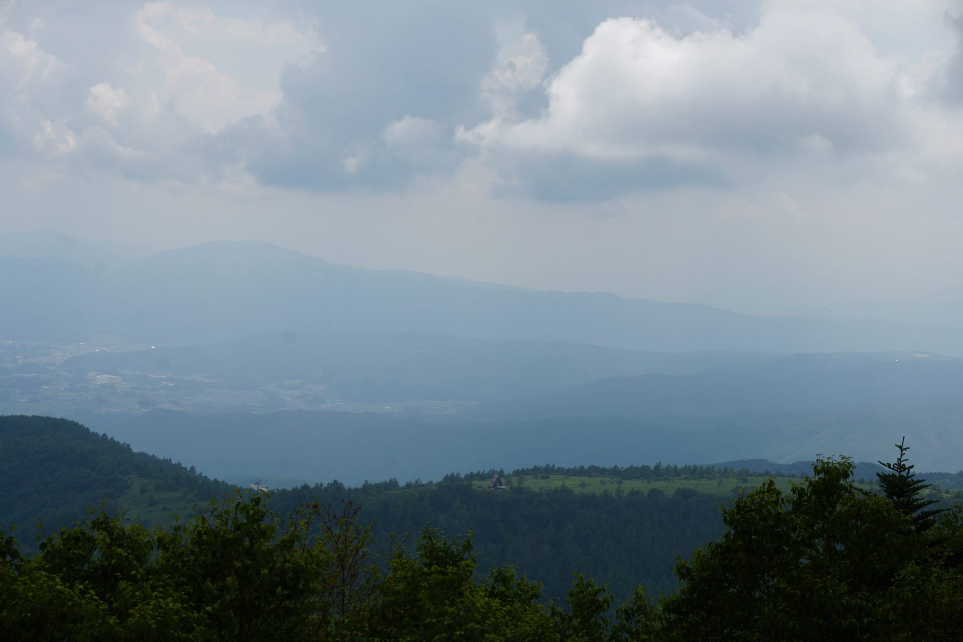
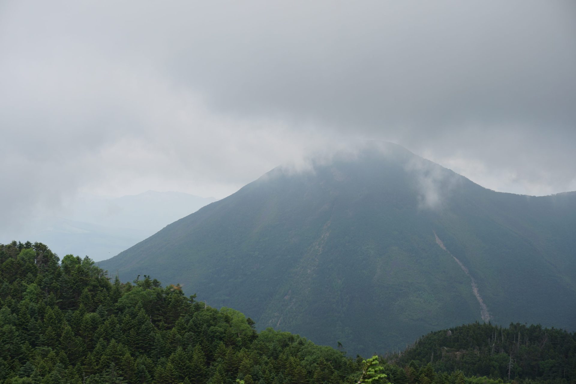
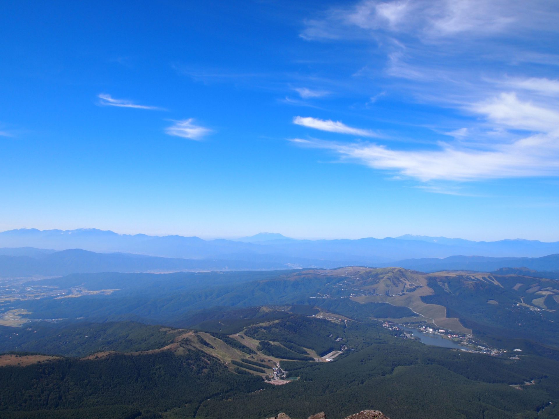
There is a famous scenic spot, Tsuboniwa, near the ropeway station, and many tourists come to walk the sightseeing route here. The route to Mt. Kita-yoko-dake, which is slightly off the sightseeing route, is a hiking course, but you will still find many a tourist in sneakers on this portion of the trail. Passing the Kita-yoko-dake Hutte and walking for about an hour and 10 minutes from the ropeway summit station, you will arrive at the southern peak of Mt. Kita-yoko-dake. If the weather is good, you can see the entire Yatsu-gatake range sprawling below the ropeway station. In front of you, the imposing figure of conical Mt. Tateshina-yama stands in all of its grandeur.
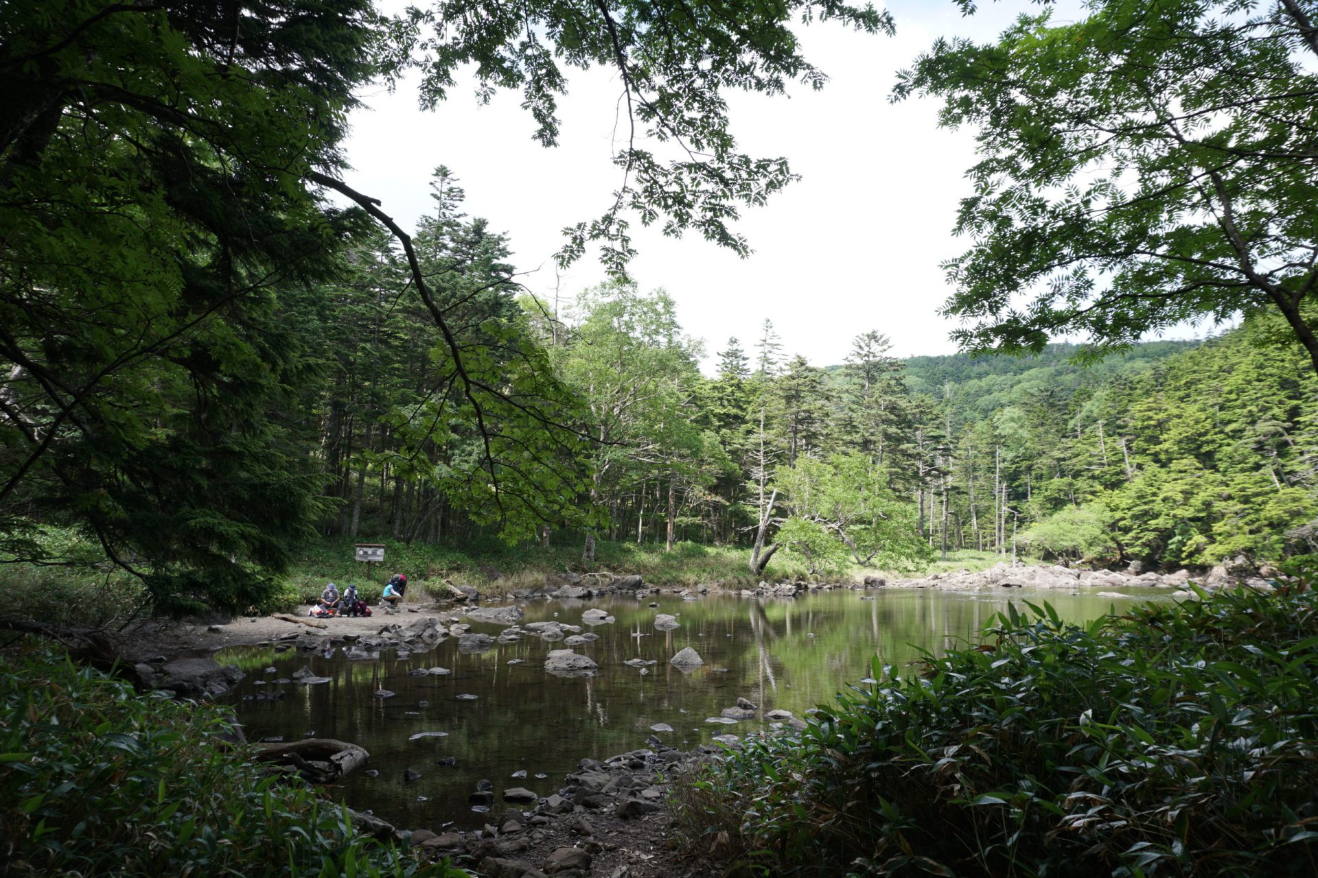
From the north peak of Mt. Kita-yoko-dake, which is a slight distance away, you will descend all the way down to Kameko-ike Pond. Continuing down the steep descent for about an hour, you will be surprised at how quickly you find the pond across from the forest. Round the pond from the southwestern side and then head onto Futago-ike Pond.
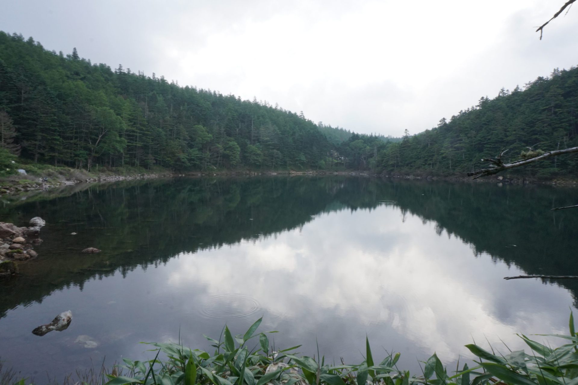
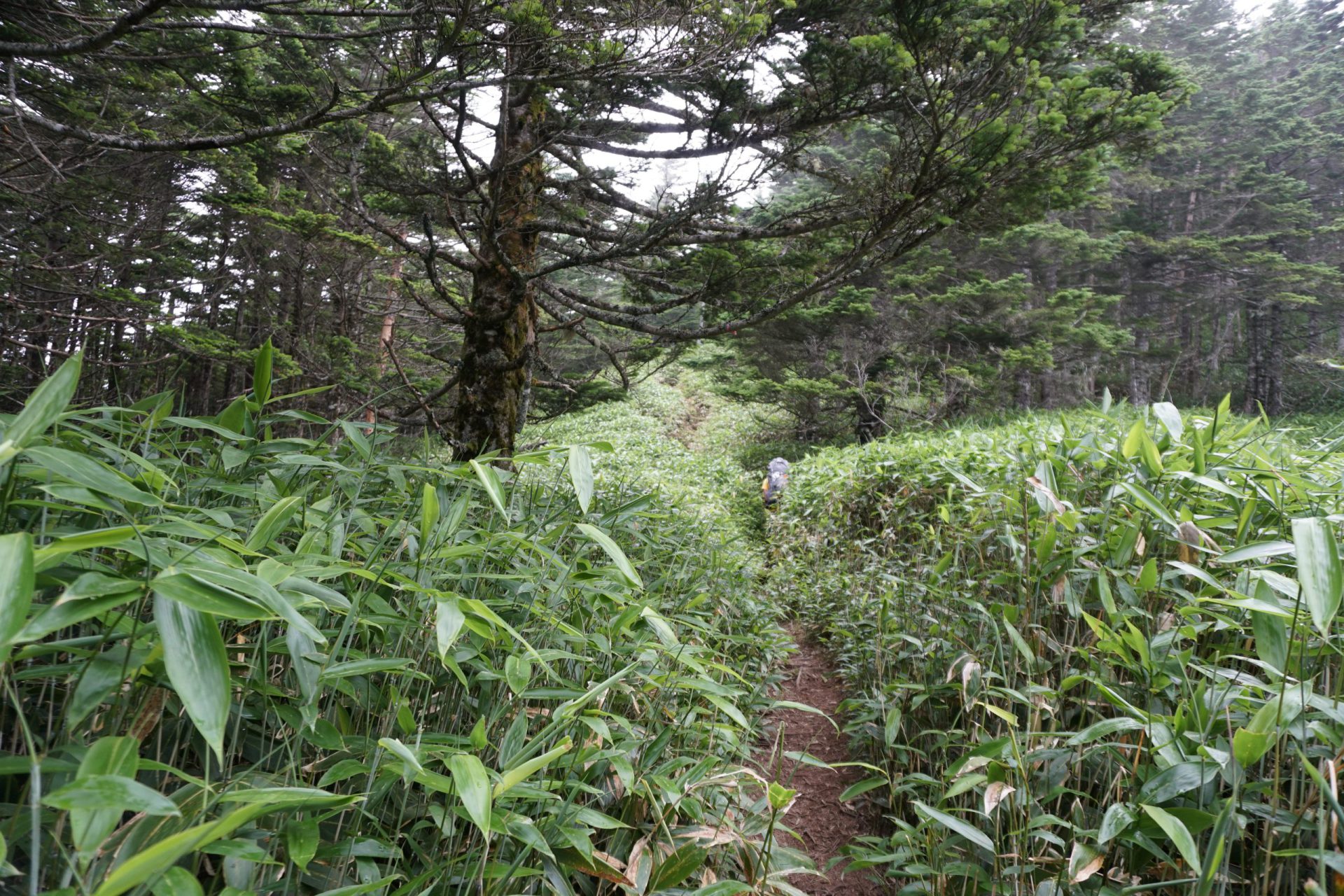
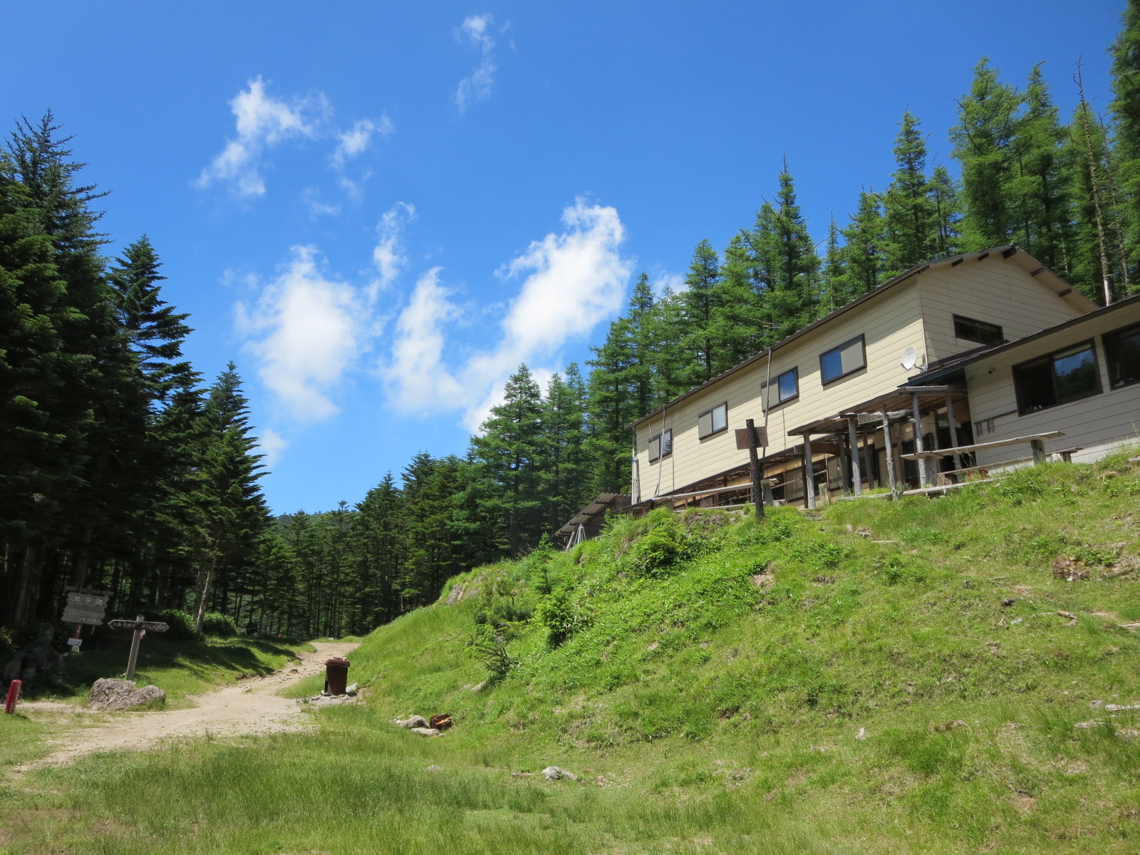
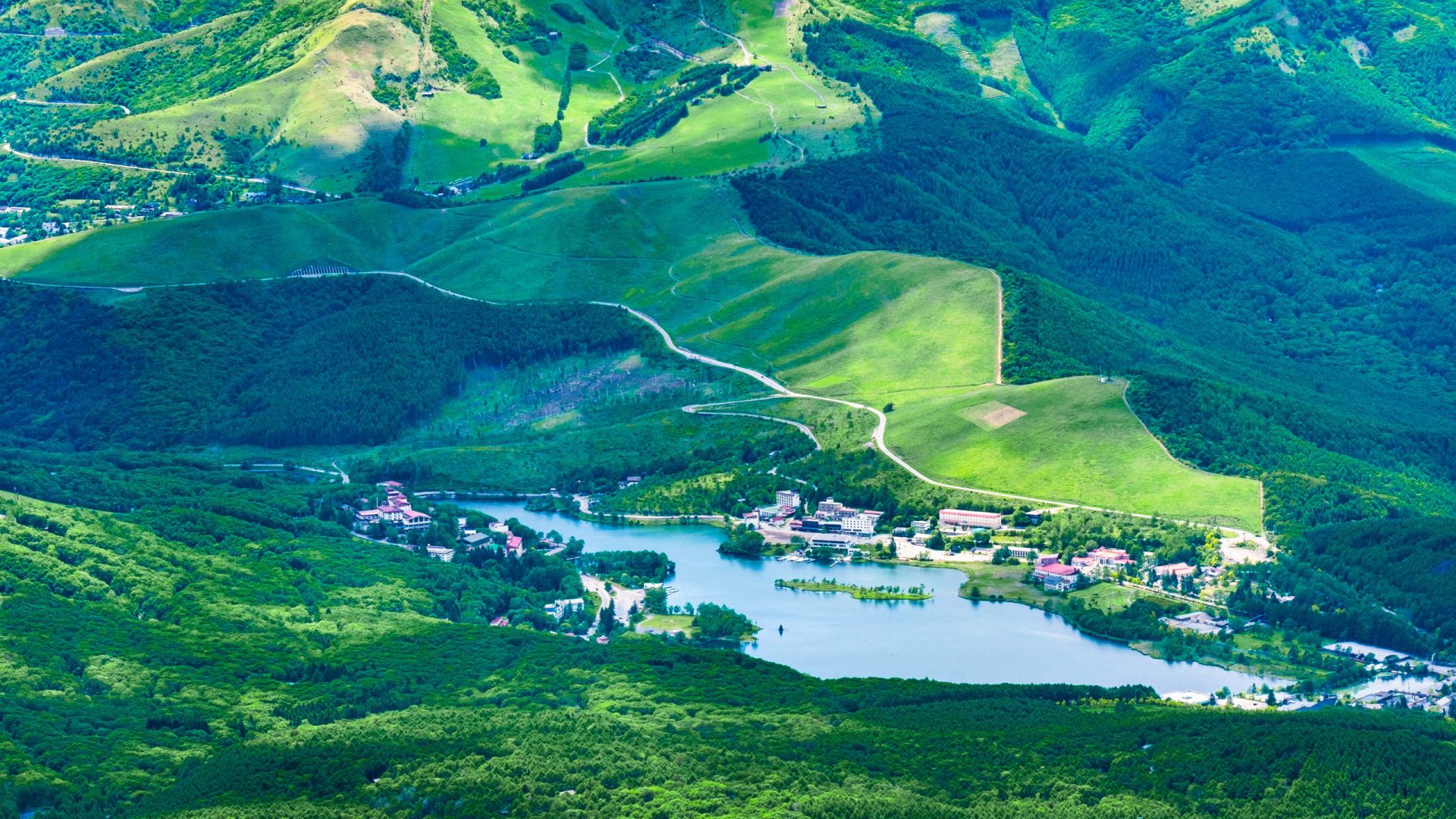
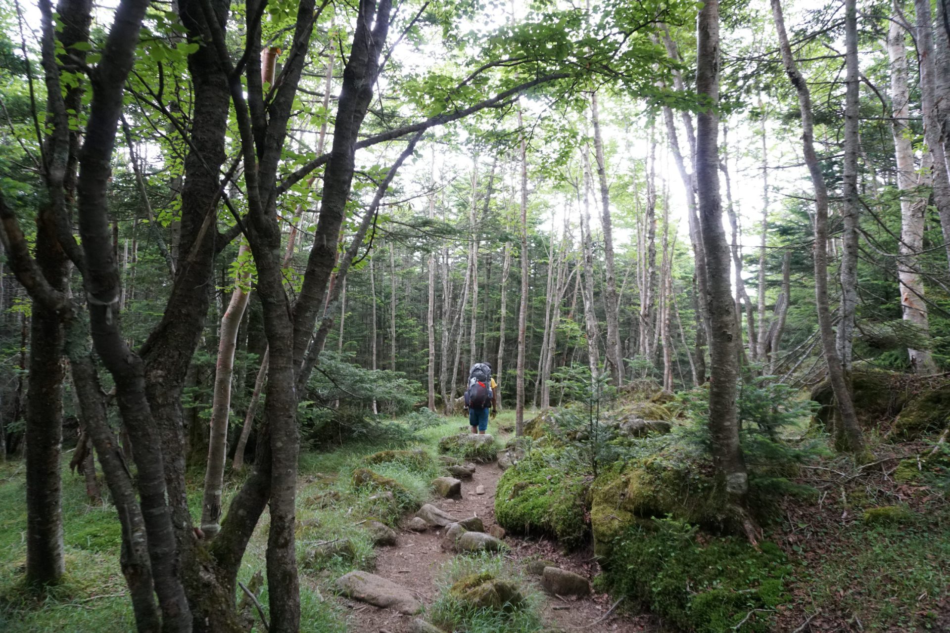
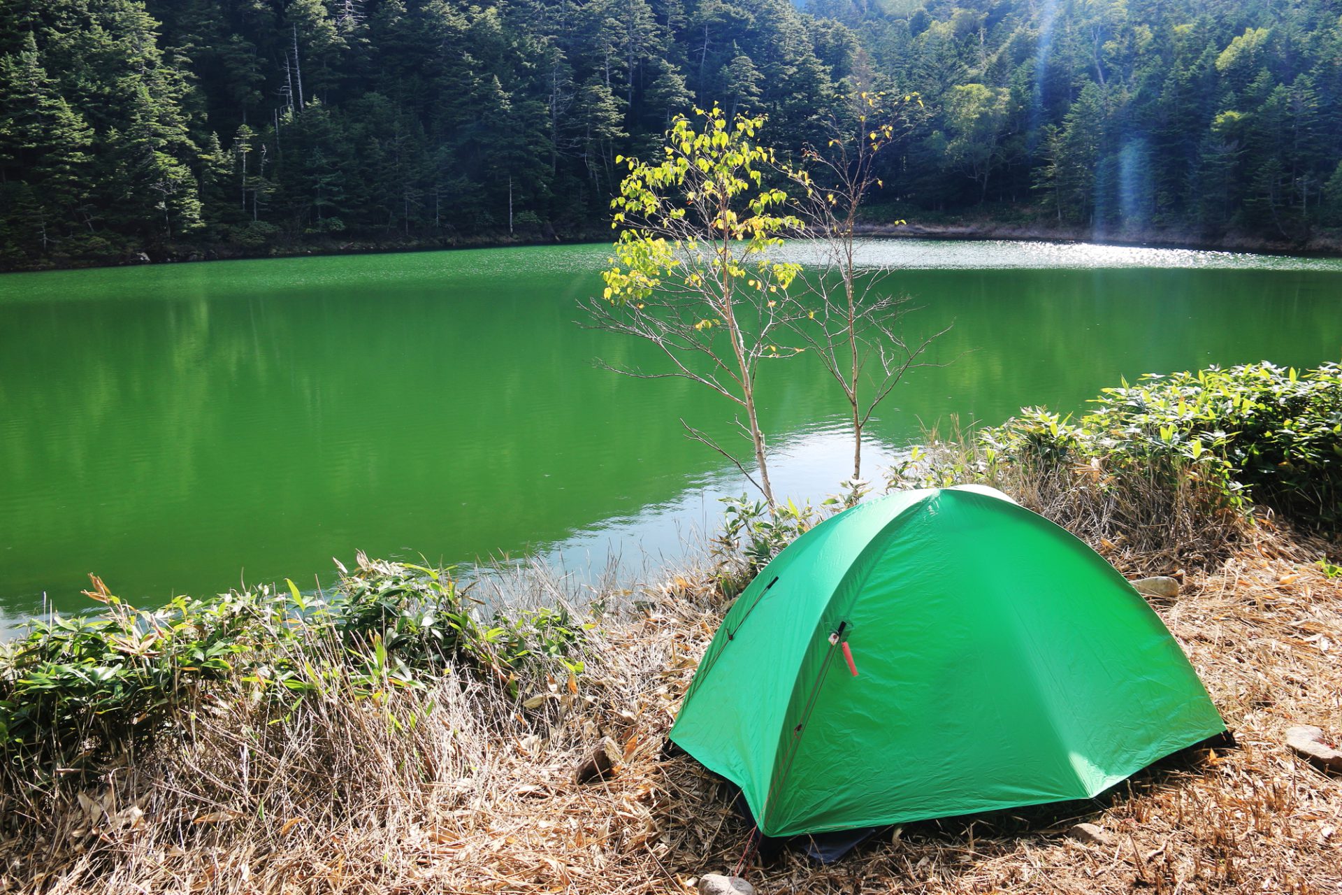
The trail from Kameko-ike Pond to Futago-ike Pond is about 30 minutes of typical serene Kita-Yatsu-gatake up and down forest scenery until you come upon the Futago-ike tent campsite. Our goal, the Futago-ike Hutte is on the other side of the pond. Once you arrive at the tent campsite, the Futago-ike Hutte is another 10-minute walk. True to its name, which means “twin ponds,” Futago-ike Hutte is sandwiched to the north and south by two ponds of approximately the same size. Of course, we recommend staying at the mountain hut, but if the weather is nice, pitching a tent alongside the pond and spending the night gazing at the reflection of the moon and stars in the pond is also a luxurious way to spend an evening. However, the tent campsite is somewhat far away from the Futago-ike Hutte toilets, so it may not be suited for those who require the facilities often.
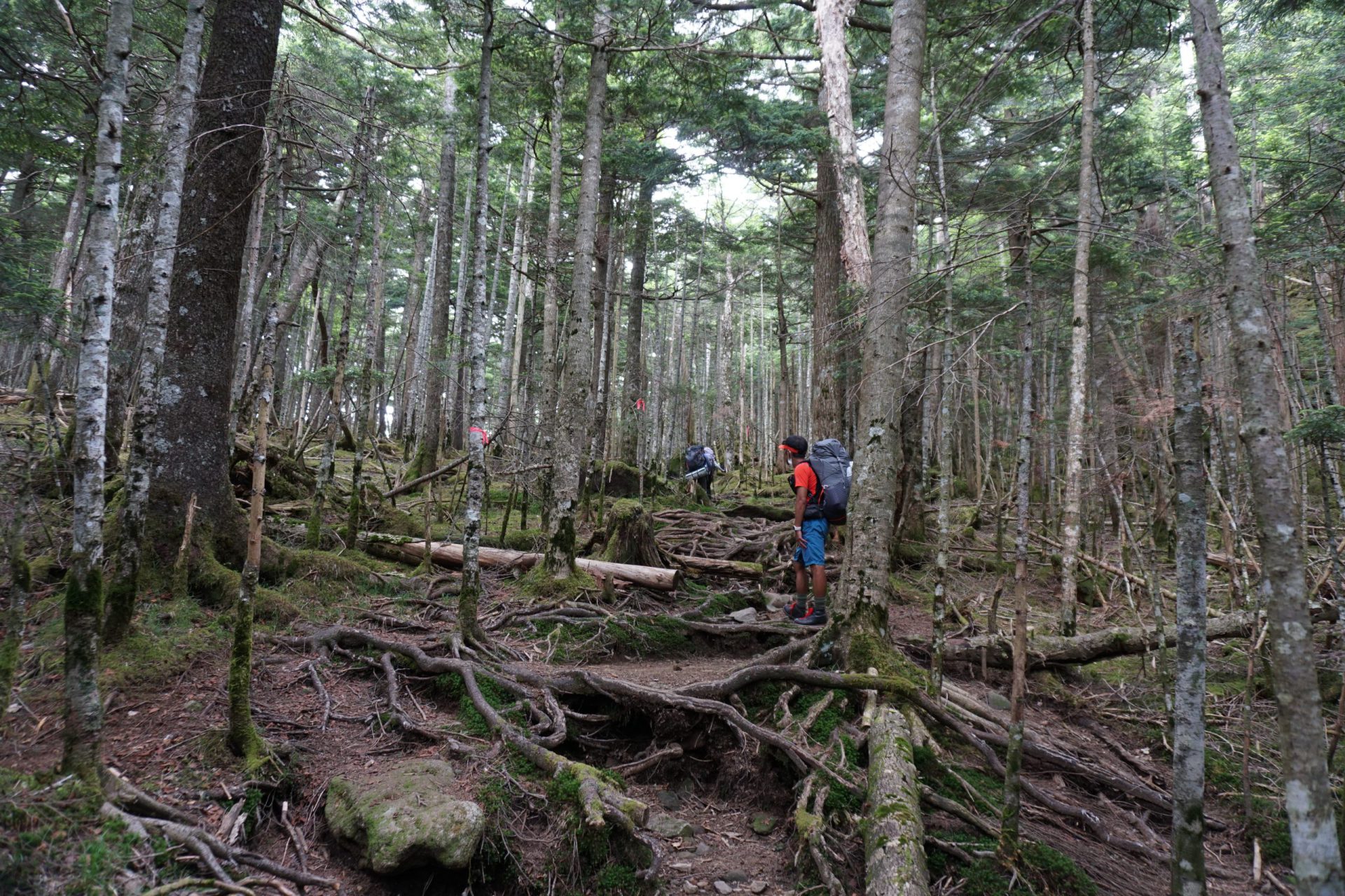
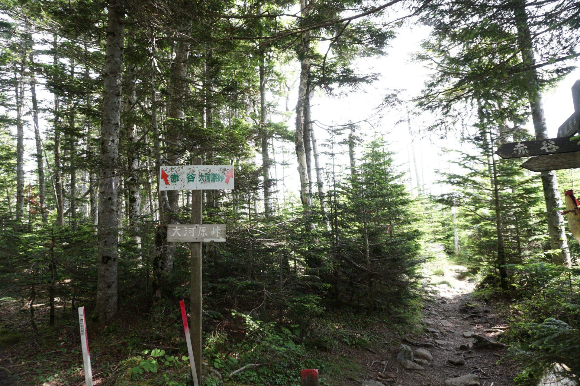
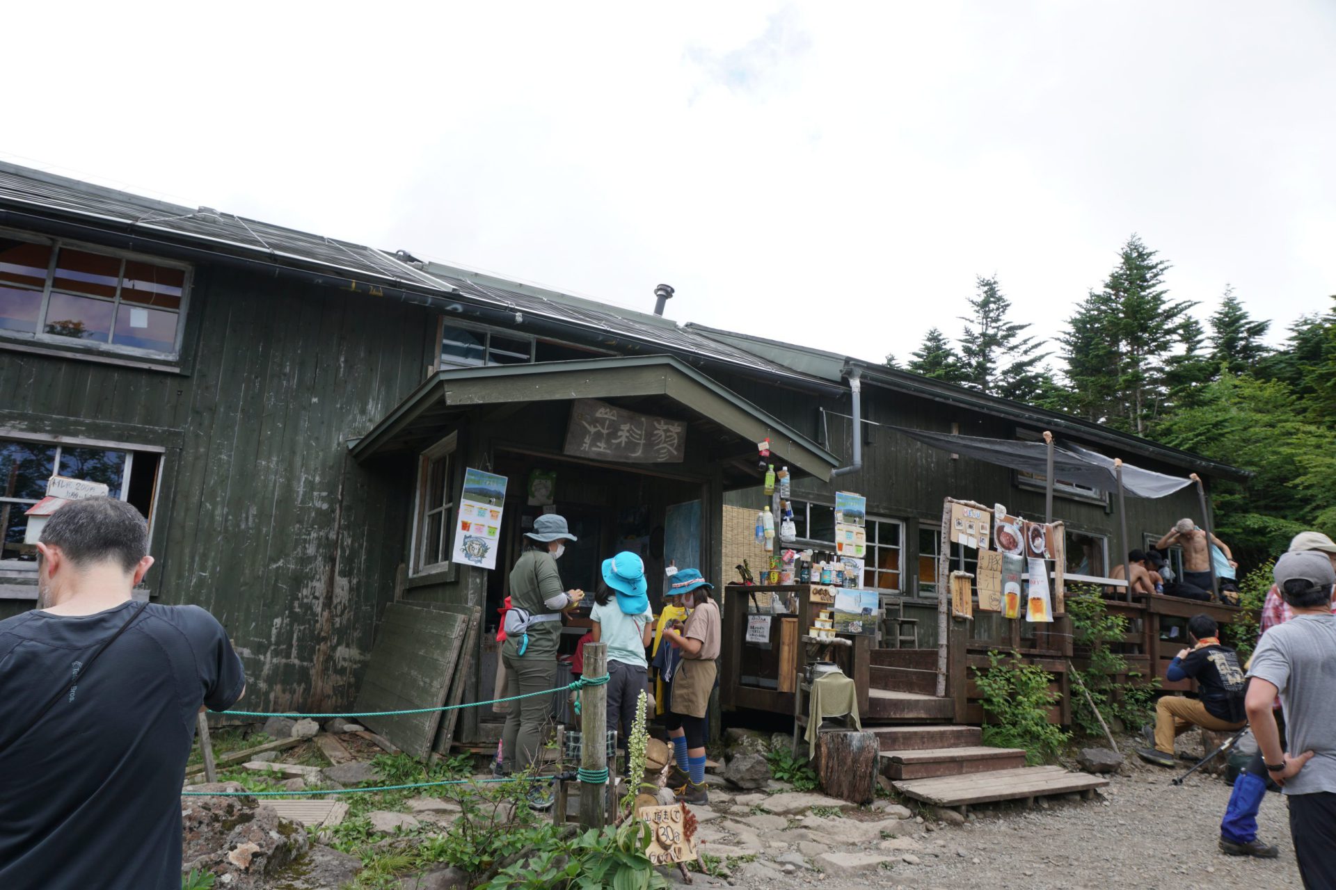
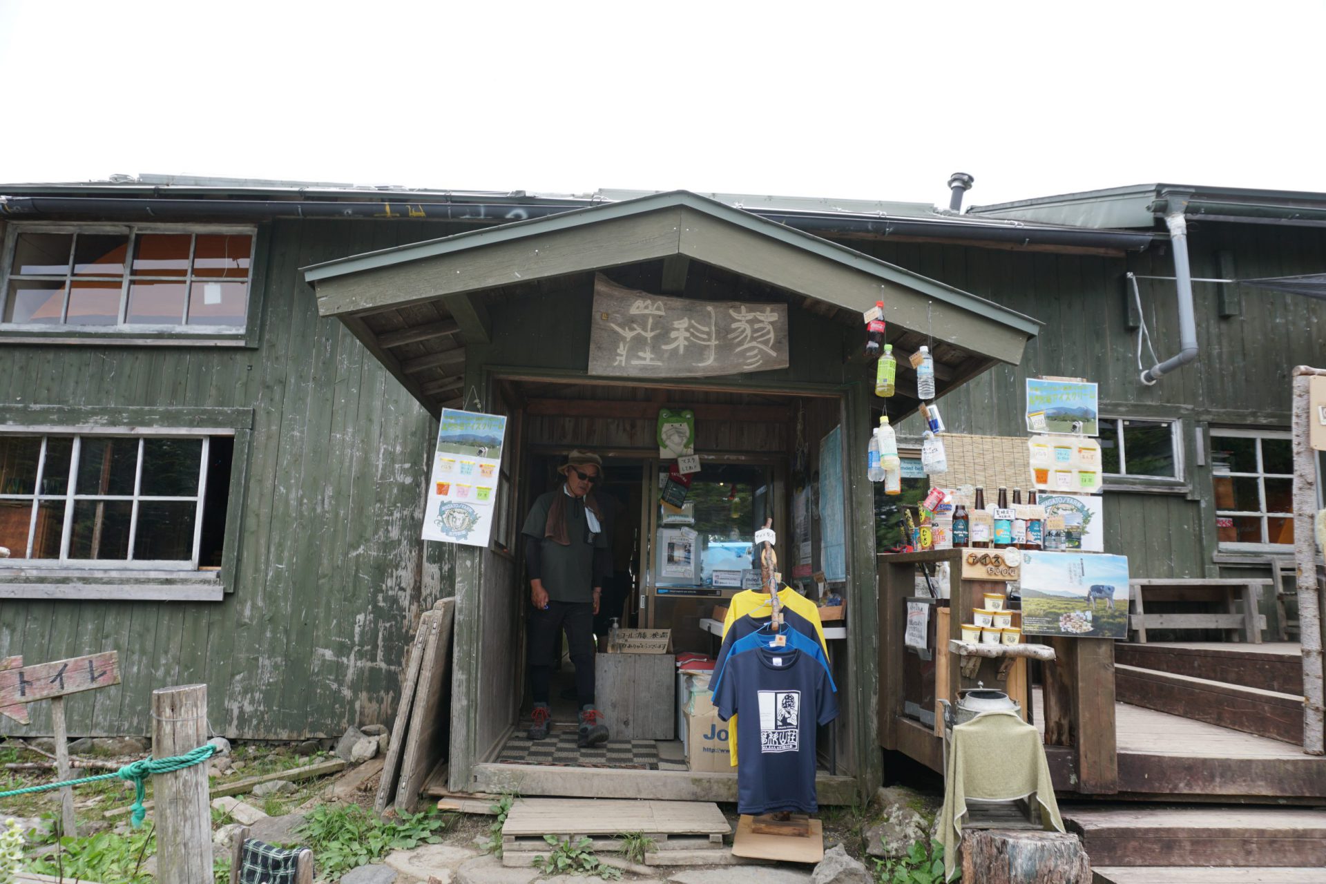
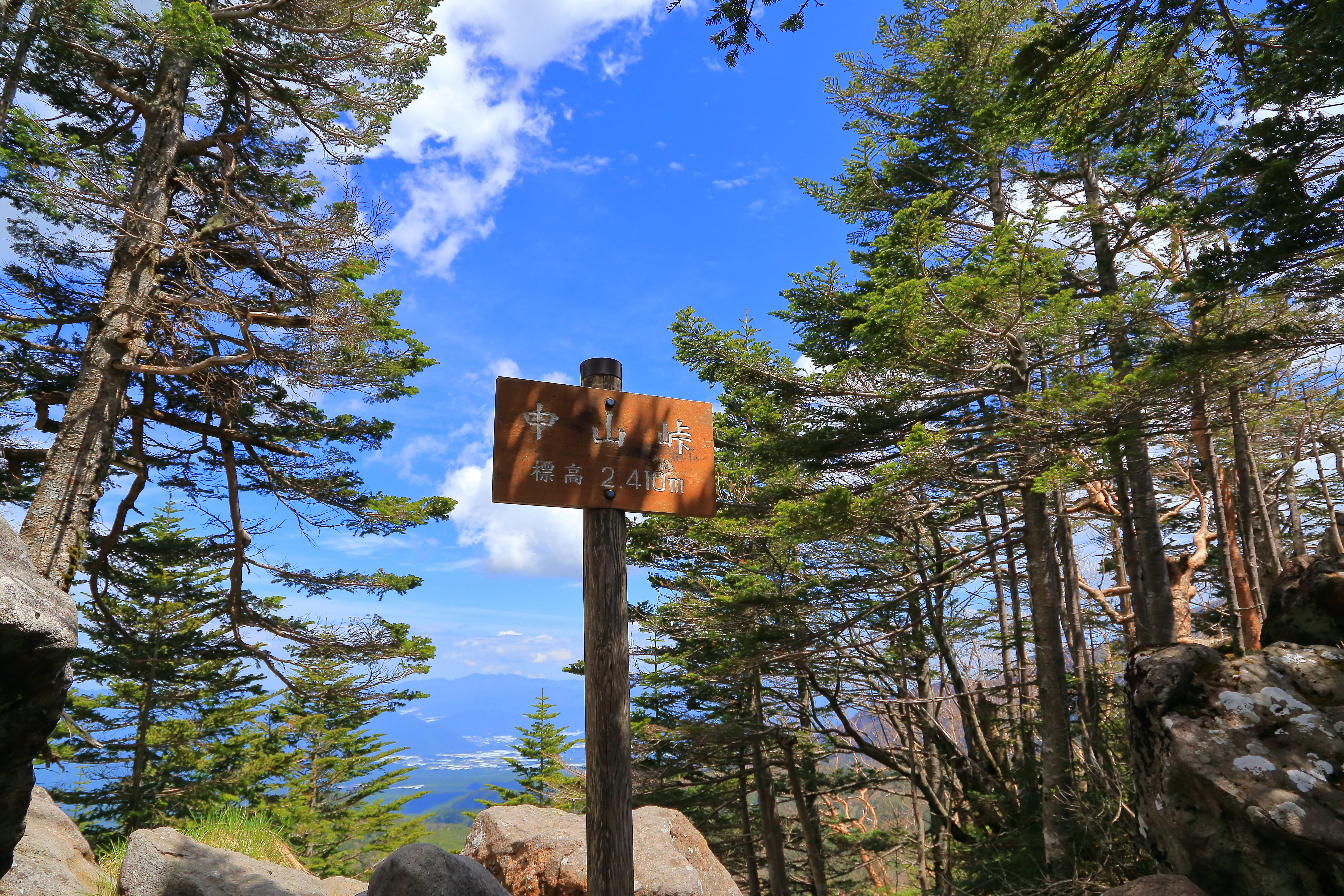
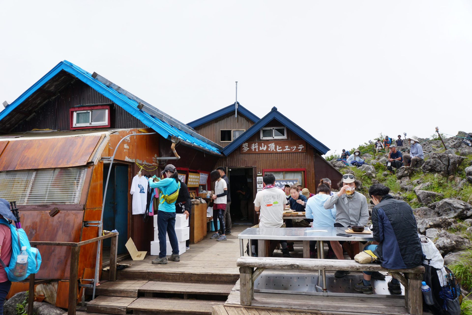
From here, we will aim for Ogawara-toge Pass and climb to the peak of Mt. Futago-yama. Once you get to Mt. Futago-yama, Mt. Tateshina-yama will seem like it’s at the tip of your nose. After you descend from Ogawara-toge Pass, we will take the route that climbs up Mt. Tateshina-yama again. It is a continual climb until you reach Shogun-daira, but this is a beginner route, so the climb is not that steep. After about an hour and 40 minutes you will reach Tateshina-sanso mountain hut in Shogun-daira. Let’s take a break here.
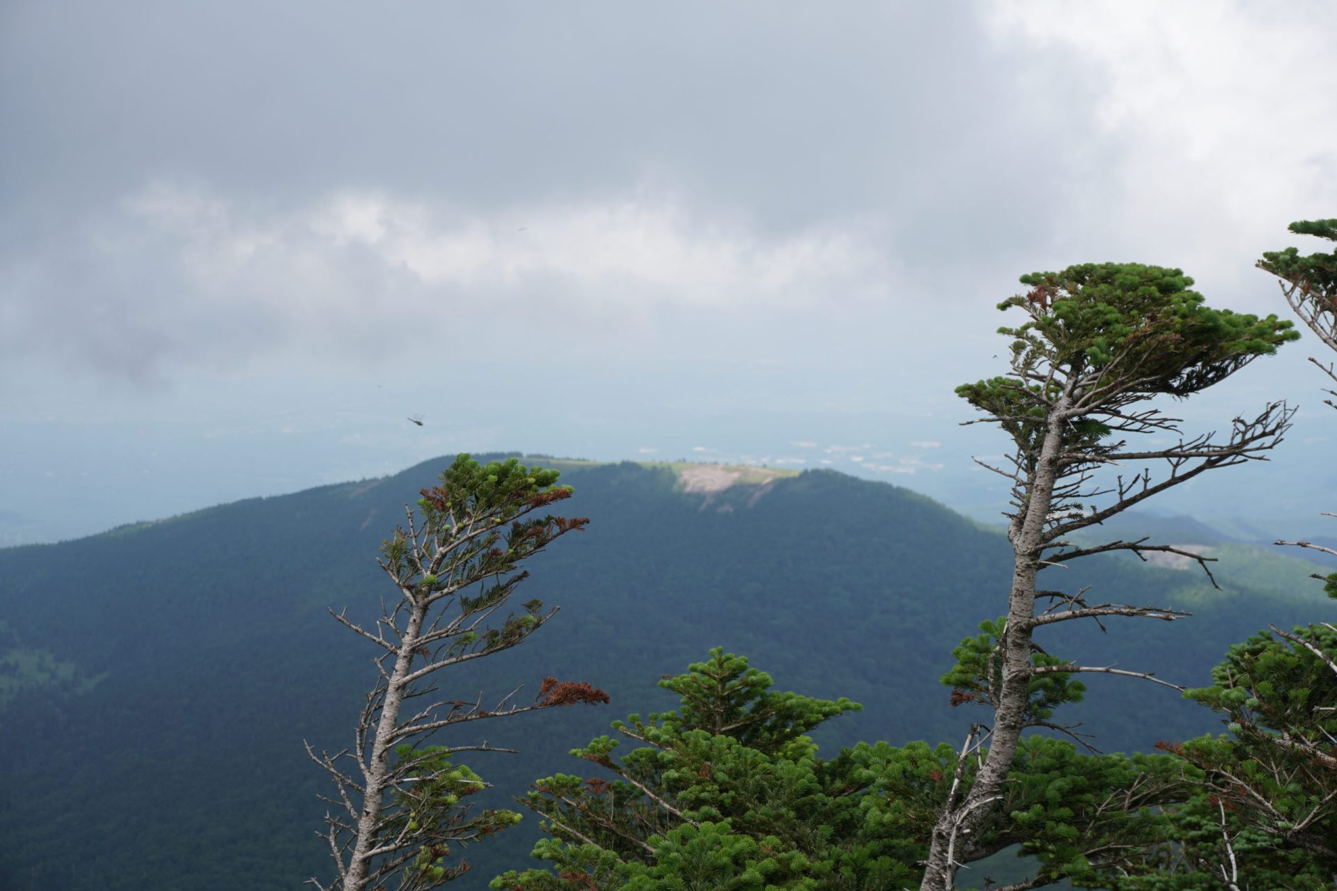
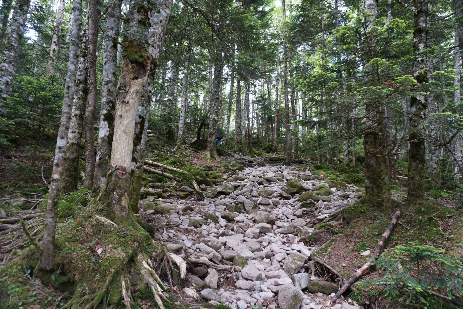
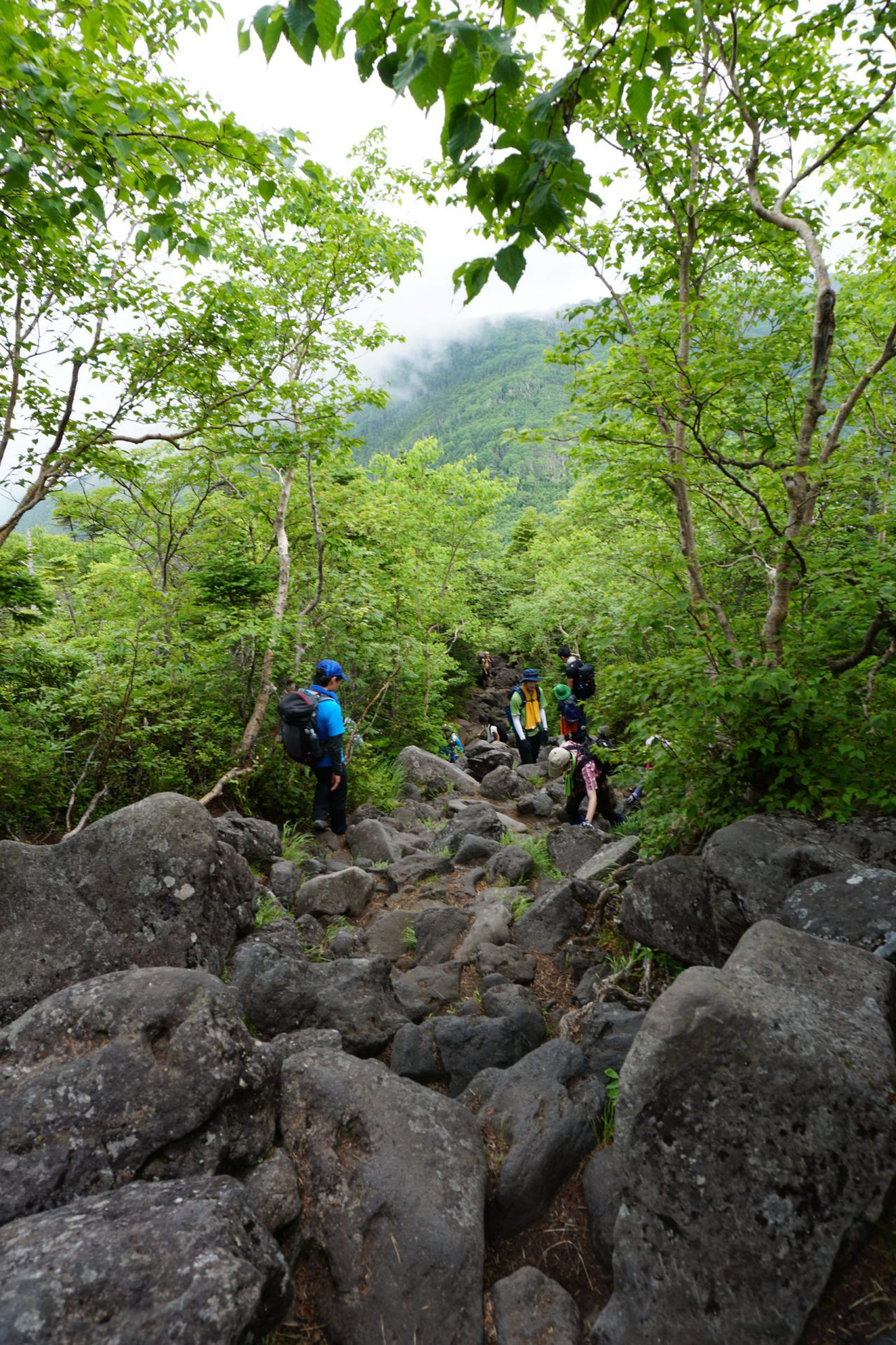
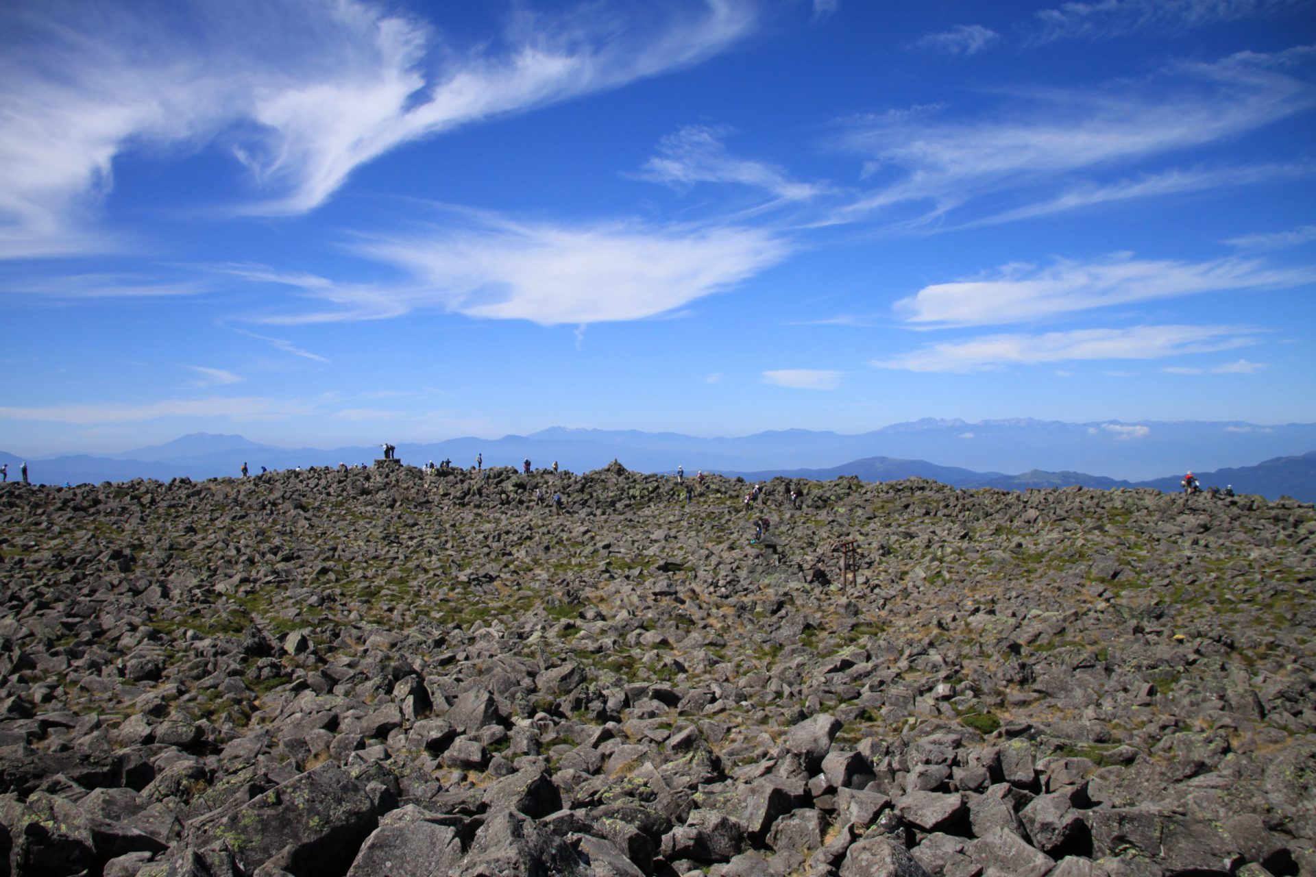
Here we start the one and only difficult spot on the climb, which is rocky and steep. Take the rocks slowly and at your own pace, while taking turns giving way to those trying to pass in the opposite direction on their descent. As the route traverses a little to the left and surpasses the tree line, the view will open up to the east and the scenery of the Southern Yatsu-gatake Mountains will jump into your sightline. The summit is only a stone’s throw away from here. The rocky summit area of the mountain is just beyond the Tateshina Sancho Hutte mountain hut.
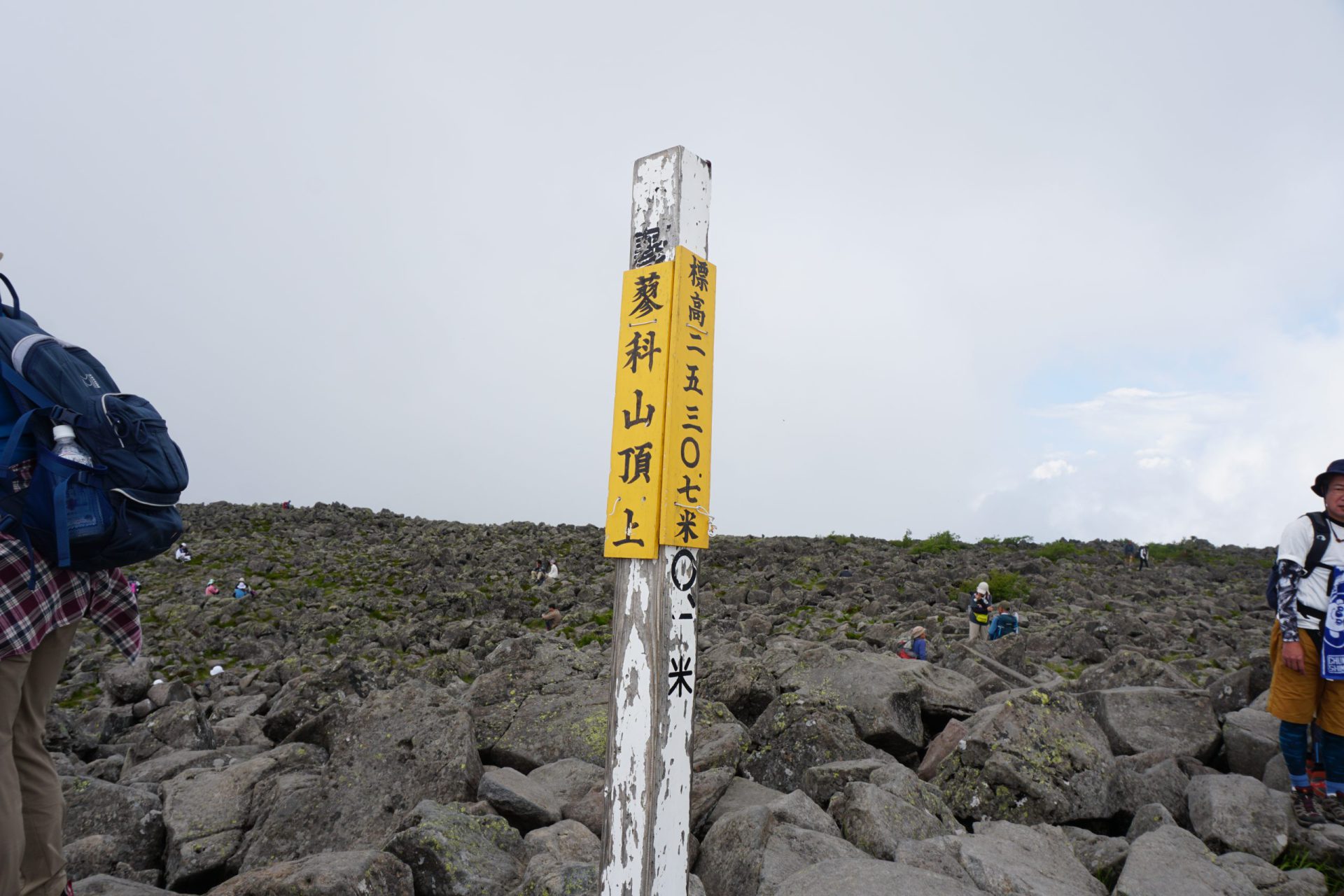
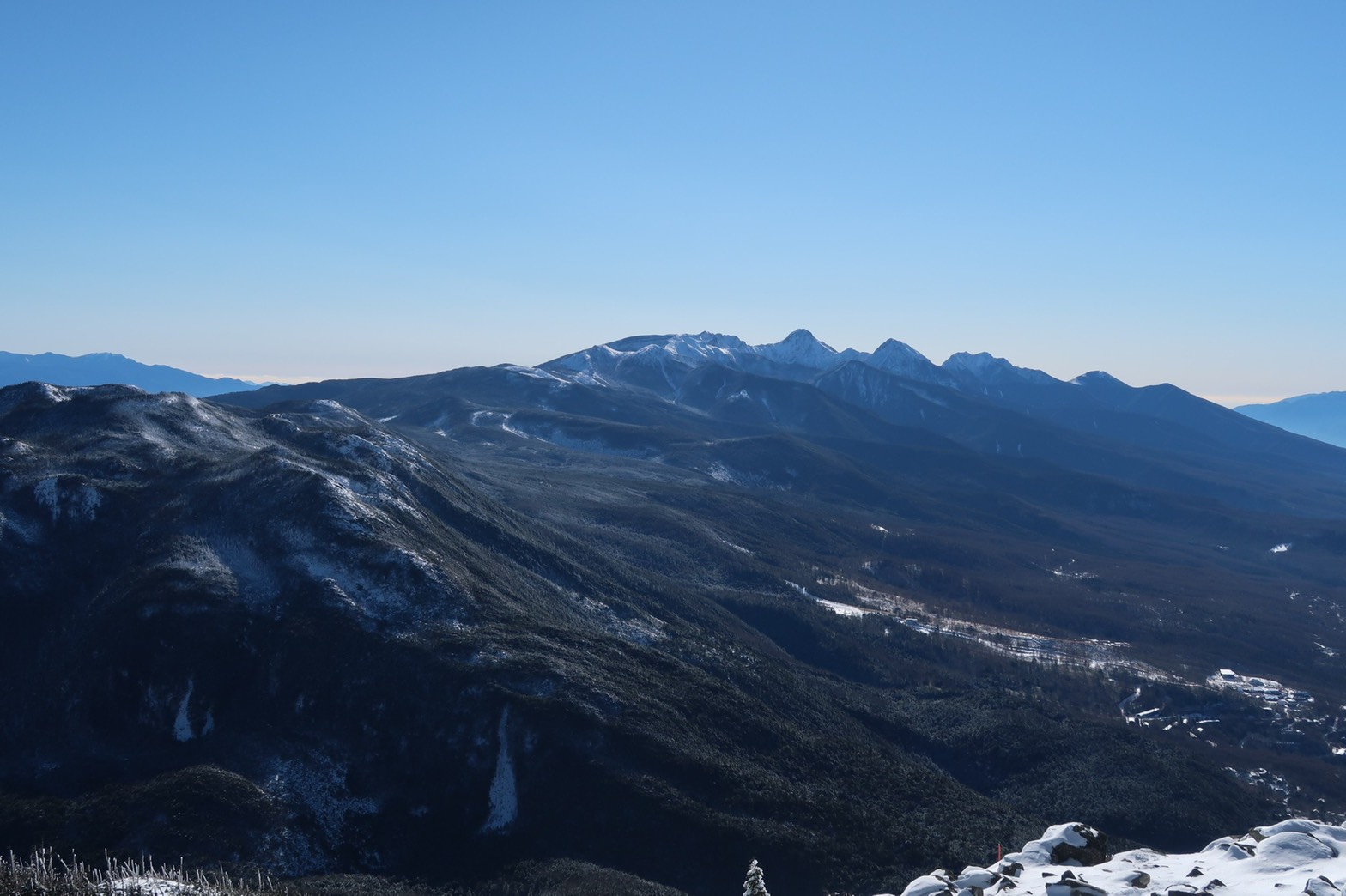
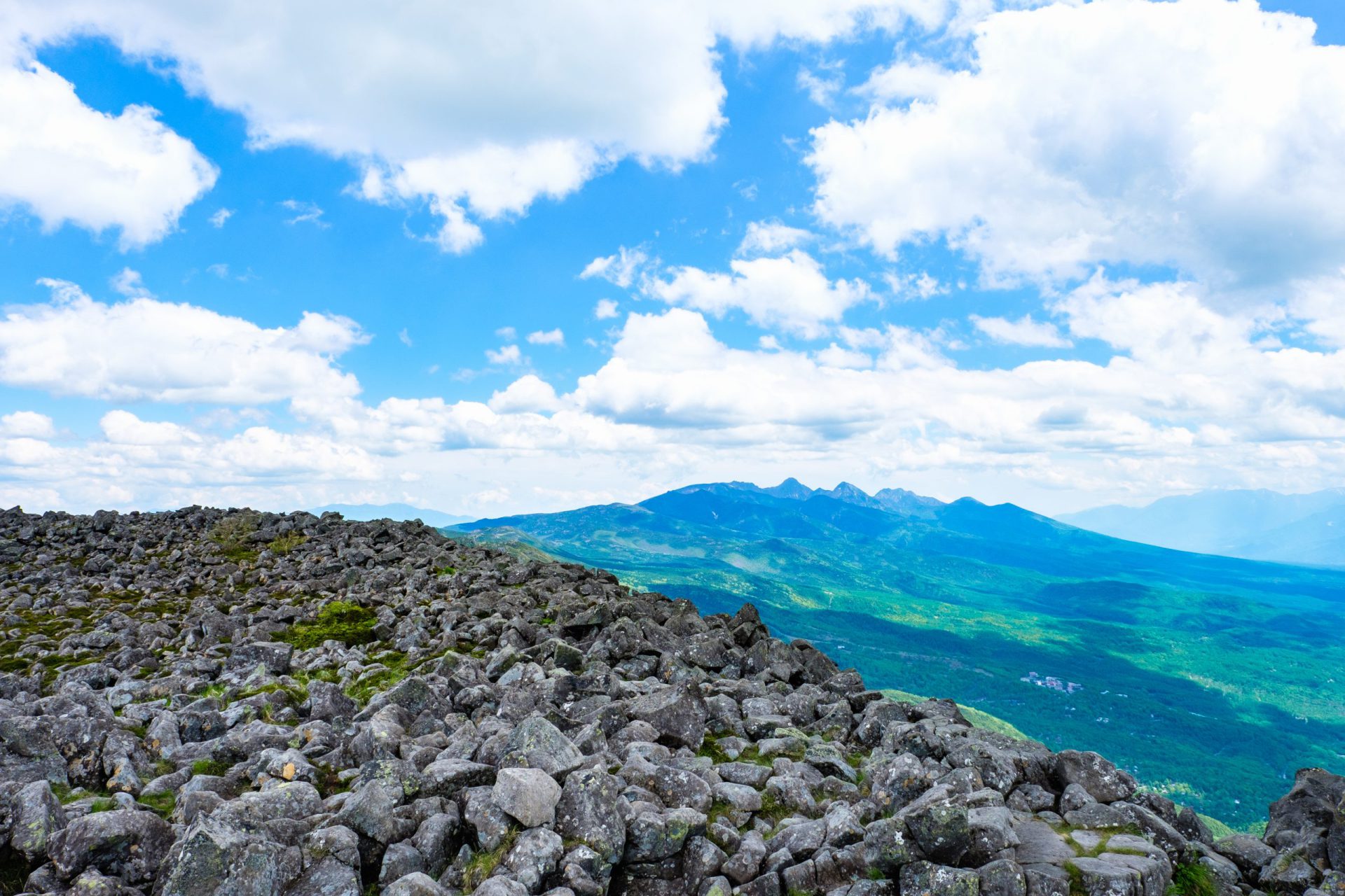
At an elevation of 2630.7 meters, the summit is less than five minutes away, though you have to straddle the rocks as you ascend. The view here is truly 360-degrees and the summit is shaped like an upside-down bowl and located on the eastern side making the northern and western scenery difficult to see from the summit. You have to move to the western side through the craggy rocks to see well in that direction. After offering up a prayer of thanks for making it to the summit at Tateshina Shrine located at the center of the mountain’s summit, proceed to the western side of the summit where the remains of the direction indicator are located. From here, you can enjoy the breathtaking view of the Northern Alps you’ve been waiting for.
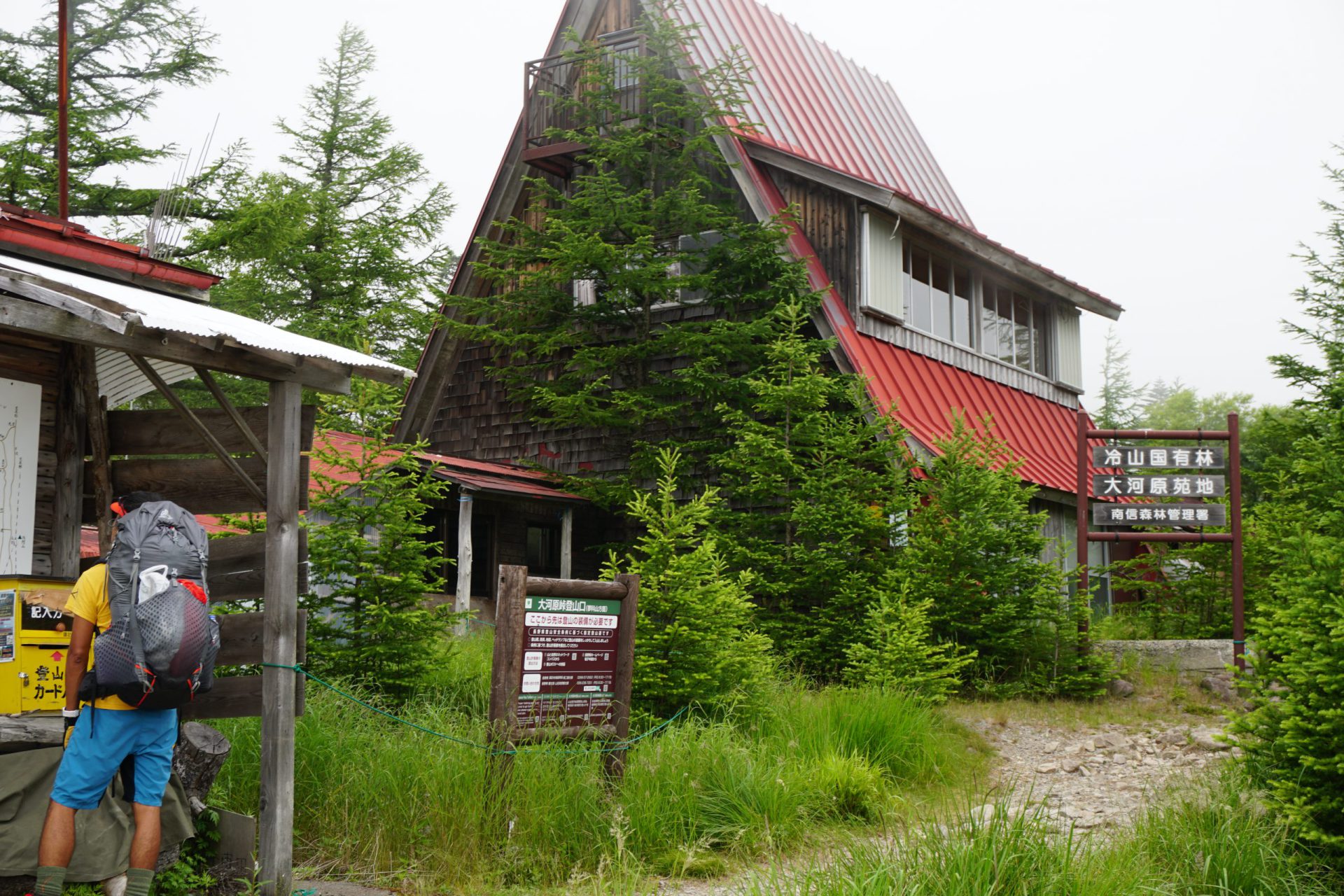
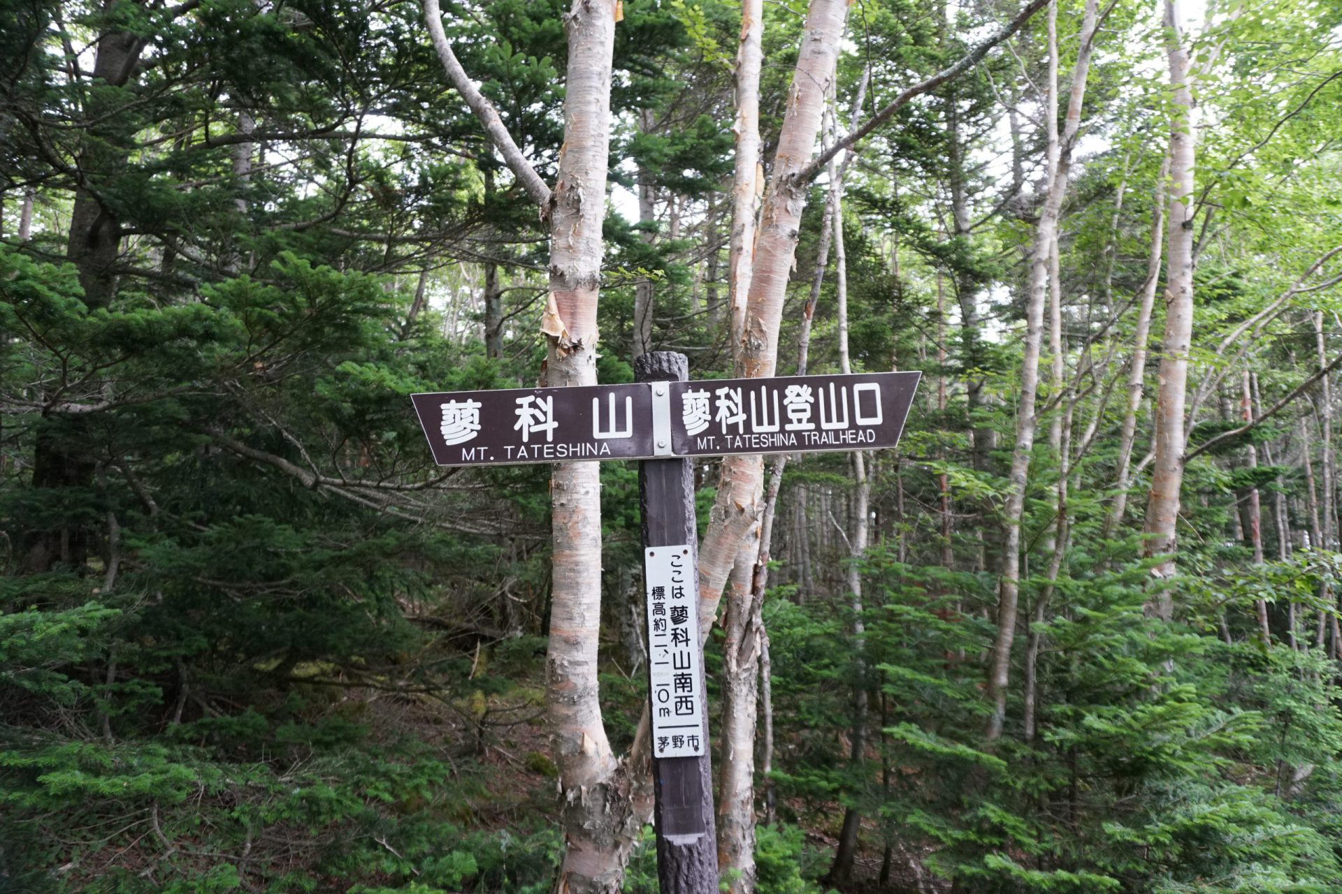
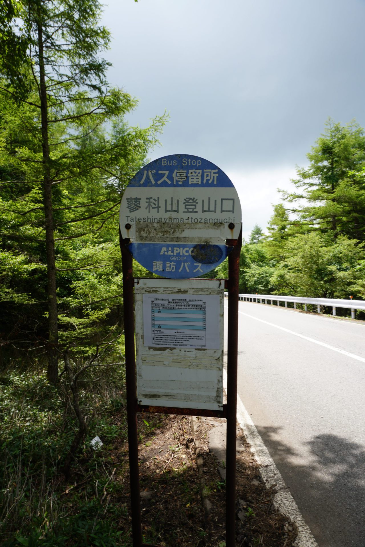
We will take the Tateshina trailhead route on the descent.
Unlike the Ogawara-toge route, this route is a direct ascent and descent that continues on a steep incline through the forest. As the ascent on this route has few points with views and is an arduous climb, it is a difficult route to recommend for beginners. The first half of the descent (second half of the climb) of the trail in particular has many areas with a series of steep steps and requires proceeding with caution. When you finally pass the halfway point, the view opens up in several places. You will have a clear view of Hutte Albiero on Yashigamine right in front of you. After descending more than two hours on this demanding route, you will arrive at the Venus Line at the Tateshina trailhead. During the summer months a bus running between Lake Shirakaba and Chino Station comes twice a day, so you may prefer to take the bus if your timing is right.