Kaerazu-no-ken
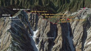

Even if you are not a climber, you will never forget the ominous name of these peaks, which is said to come from the fact that a long time ago, a reckless person went here to get close to a tengu and never came back.Kaerazu-no-ken is the general name for a series of peaks formed by erosion between the 2,703m “Tengu no O-kugari” peak in the north and the 2,695m “Karamatsu-dake” peak in the south, each which are one of the three most famous mountains in Japan, and a series of peaks (A/B/C) from the north, which are Peak I, Peak II North, Peak II South and Peak III (A/B/C), and a ridge line. The saddle of this chain is called “Kaerazu Killet,” one of the three famous in Japan, with an elevation of 2,411 meters. The steep rocky peak, which repeatedly rises and falls 300 meters in a short distance, has always been one of the targets for ordinary climbers as a difficult place to challenge.
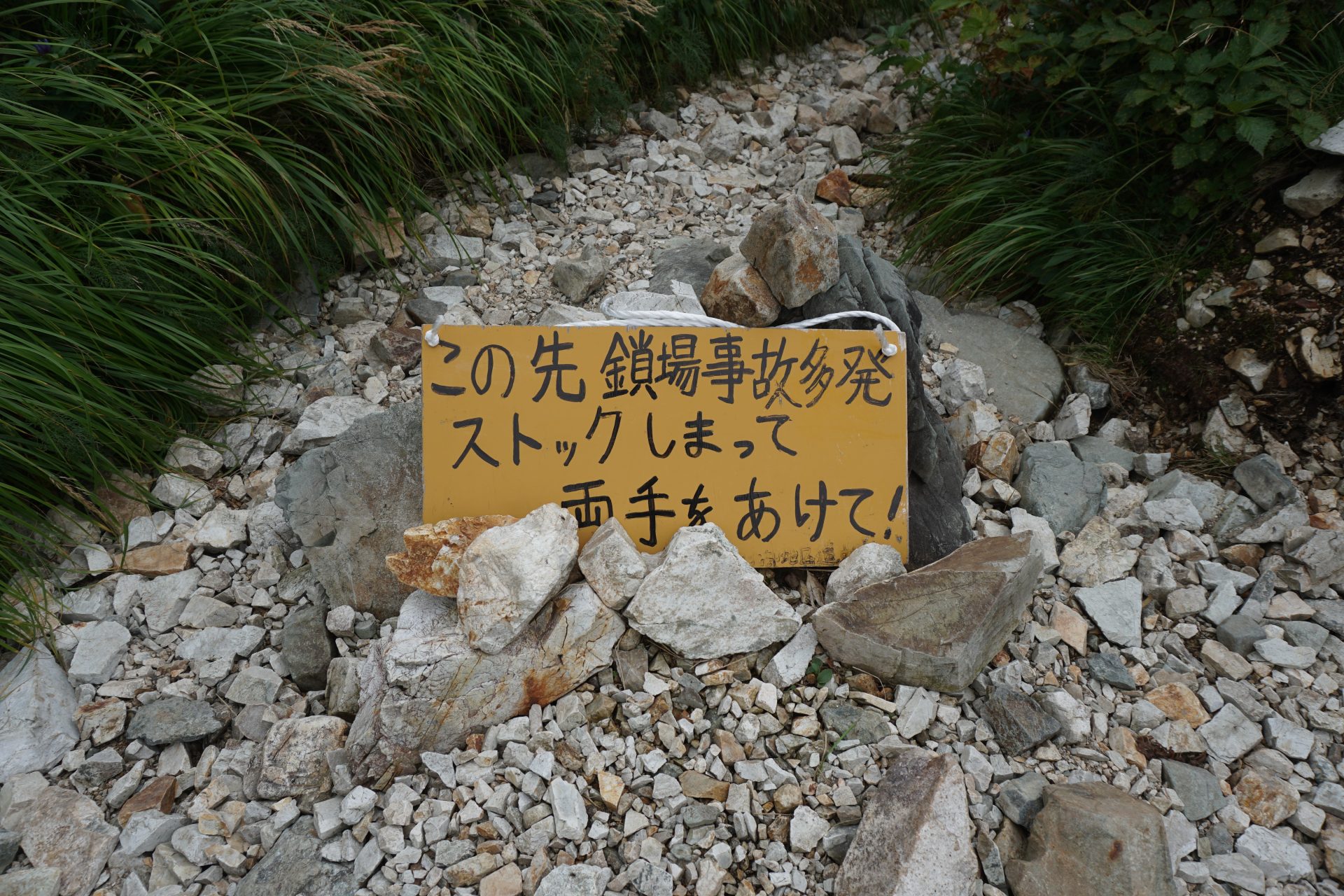
The most difficult part is the route between Peak I and the North Peak of Peak II, where the trail is a series of chain-link passages, requiring a certain level of skill and experience to overcome.
(Cautionary note)
The route is a Variations route and is not a general mountain trail. The route is well-maintained and well-protected, and you should be able to proceed as long as you maintain the basic three-point anchorage (backward descent in the case of descent), but be sure to look carefully at the painted markers on the rocks, such as ○, X, and →. If you think you have made a mistake, go back to where you found it.
On the seasonal peaks, you will often pass each other on the scree or rocky terrain, but since this is different from ordinary trails, please do not give priority to climbing, but proceed flexibly, making judgments and checking with others. When waiting, be sure to keep your body away from the mountain side. The danger of falling rocks increases when there are many people on the trail. Wearing a helmet is a must, but if you accidentally cause a rock to fall, shout “Raku” as loudly as possible if you accidentally hit a falling rock.
If the weather forecast is bad, it is important not to push yourself too hard. Basically, it will be difficult to retreat between the large descent of Tengu and the south peak of Kaerazu II Peak, so please do not hesitate to return if you find it difficult. Also, in summer, try to pass between the huts in the morning as much as possible to avoid afternoon thunderstorms. It is said that the route from north to south, i.e. from Tengu no O-kudari to Karamatsu-dake, is mainly uphill and relatively easy to tackle, but here we will introduce the route from south to north, focusing on the route explanation guide of the core section. The difficult points are the same from either direction, so please use them as a reference.
Detailed route creator
Shinji Nakata:Mountain Writer
Born in Matsumoto City, Nagano Prefecture. She spent most of her time commuting between the mountains and the club room in high school, university, and the mountain club. After working at a publishing company, he became a mountain walker. As of December 2021, he has left his footprints on more than 3,300 mountains in Japan and overseas. He is the author of many books on mountain guides.
Director of Japan Alps Guide Center
★Karamatsu-dake summit to Kaerazu-no-ken North Peak of PeakⅡGuide
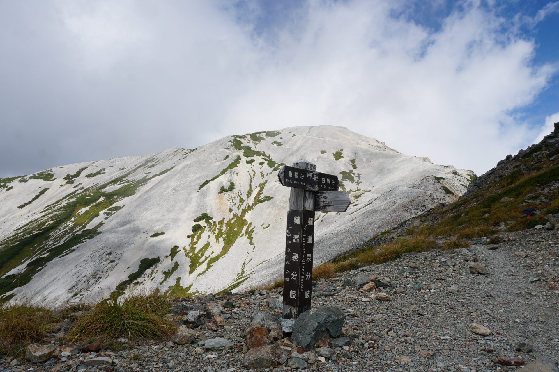
Karamatsu-dake, a 2,695m elavation, is one of Japan’s famous 200 peaks, and its graceful form can be seen from the terrace in front of the Karamatsu-dake Summit mountainhut. It can be said that this route is an introduction to the Alps, as it takes only 4 hours from Happo-ike Sanso to reach the ridge of the Ushiro-Tateyama mountain range and enjoy the spectacular view of the Northern Alps. The other side of this gentle mountain range is the peak of Kaerazu-no-ken.
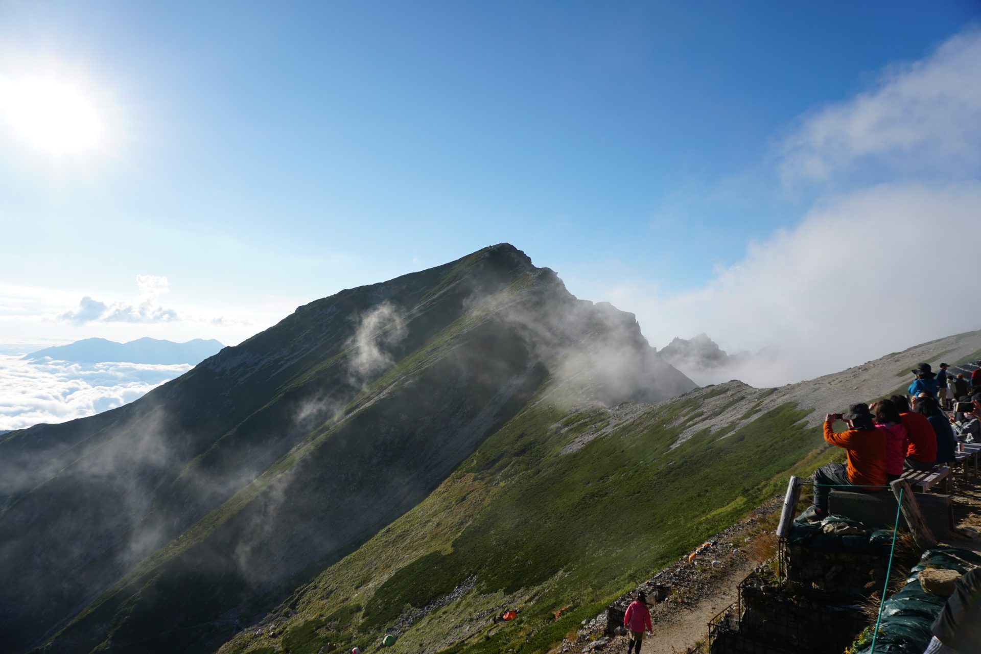
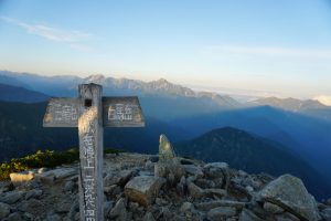
We departed from the summit of Karamatsu-dake to look at the Mt. Tsurugi-dake Morgenröte.
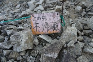
The too casual information board of “Kaerazu-no-ken”, from this point, there are very few people.
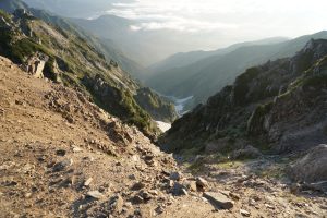
Walking a little north, you will see the Karamatsu-zawa Glacier, the seventh recognized glacier in Japan, on your right.
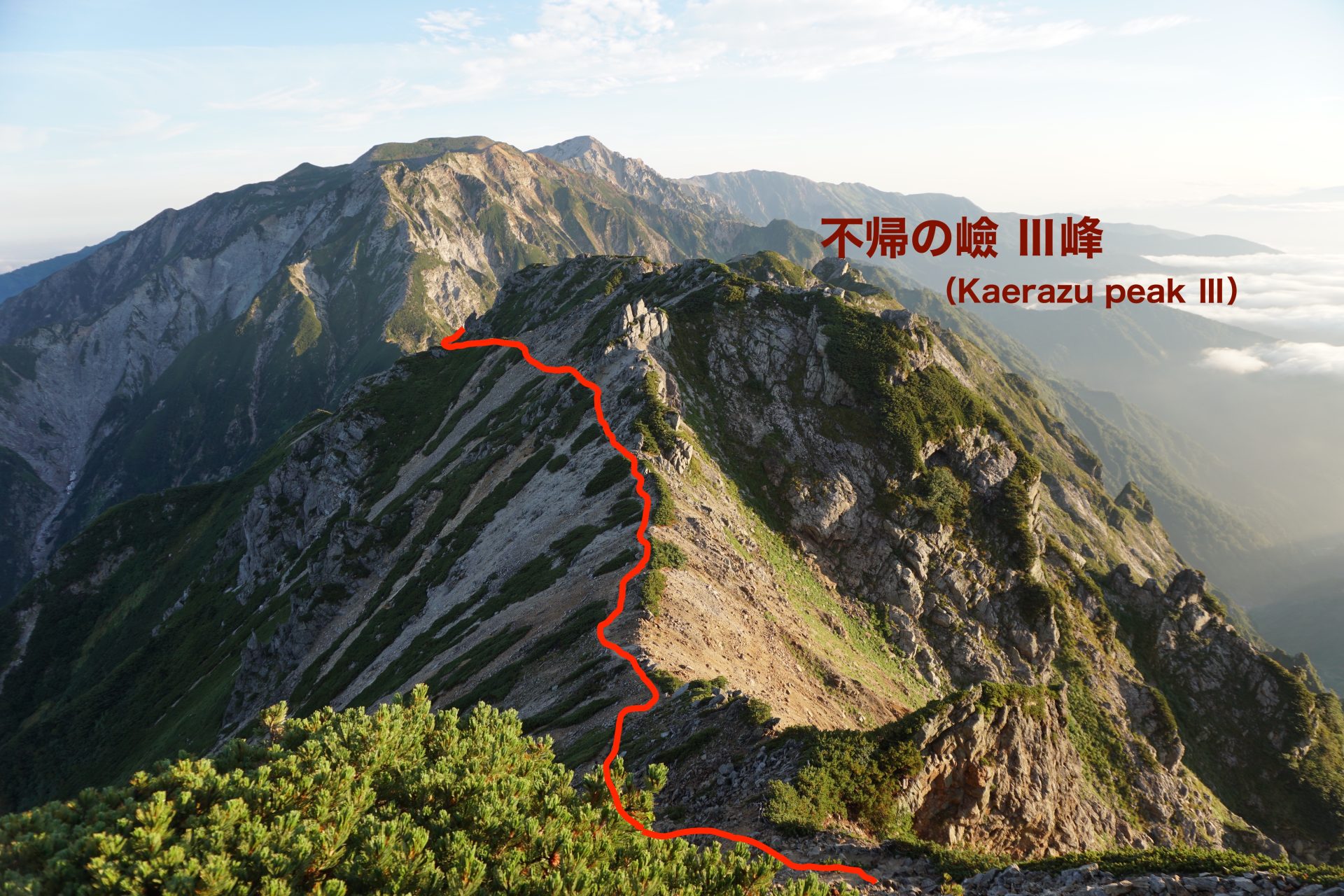
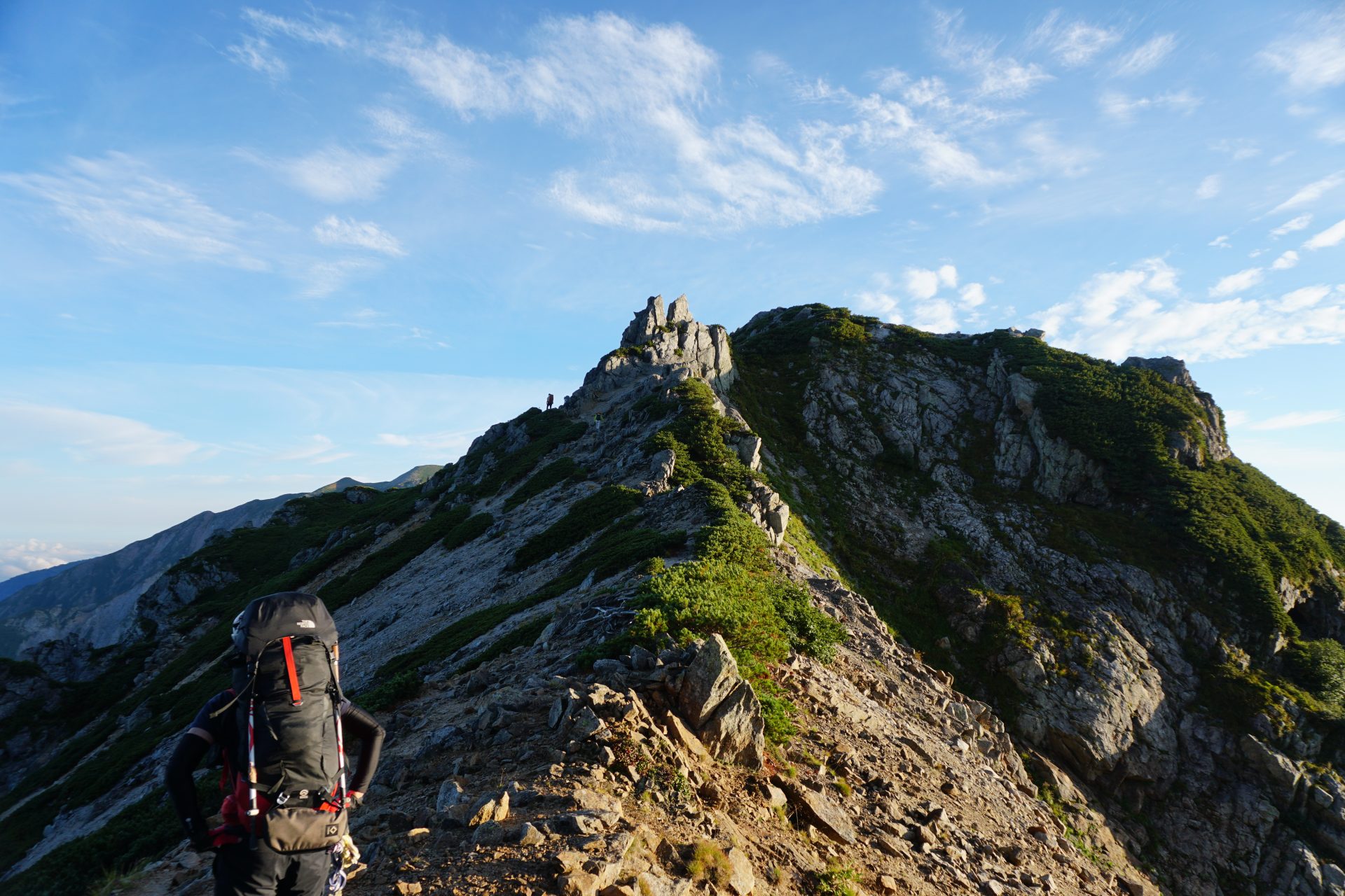
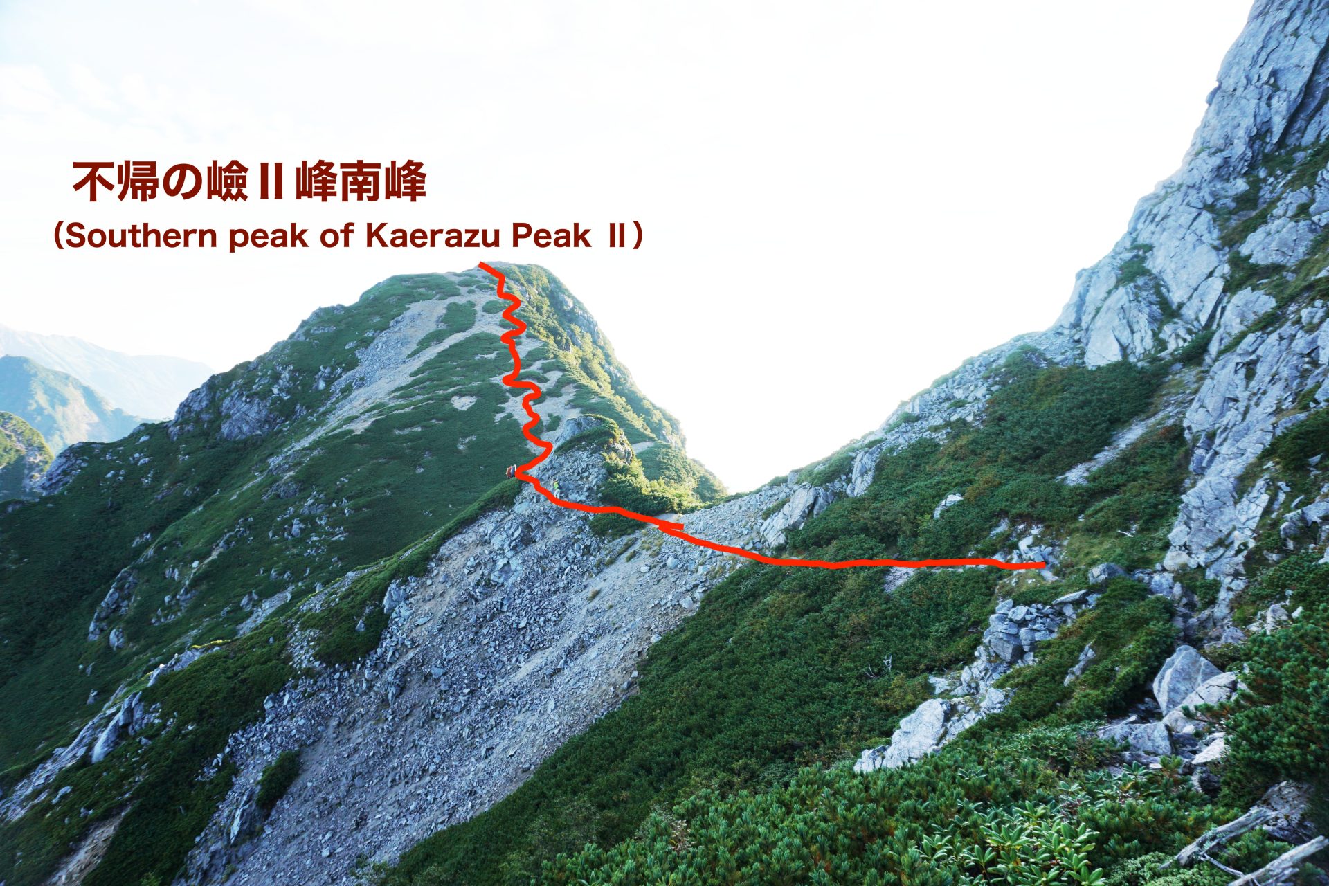
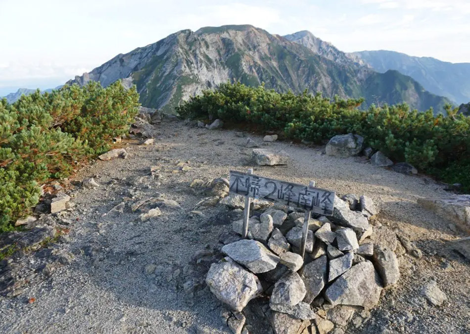
The South peak of peak Ⅱ is a flat peak.
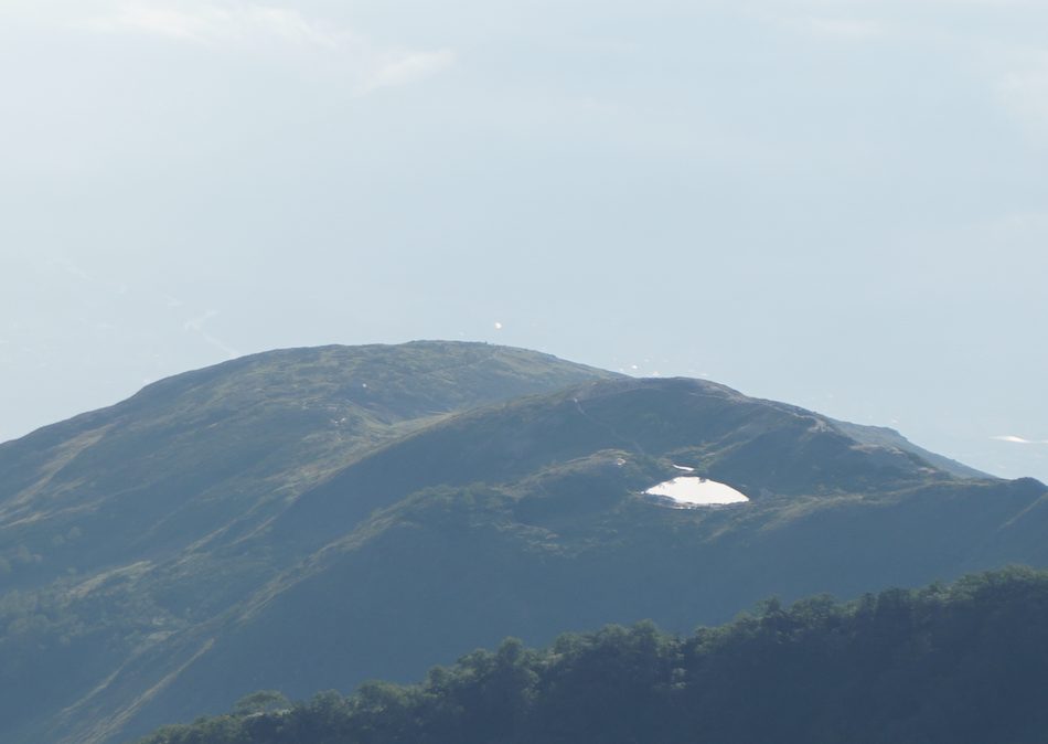
Happoike Pond is in the distance. Today the weather
is such that you will want to see this view from the other side.
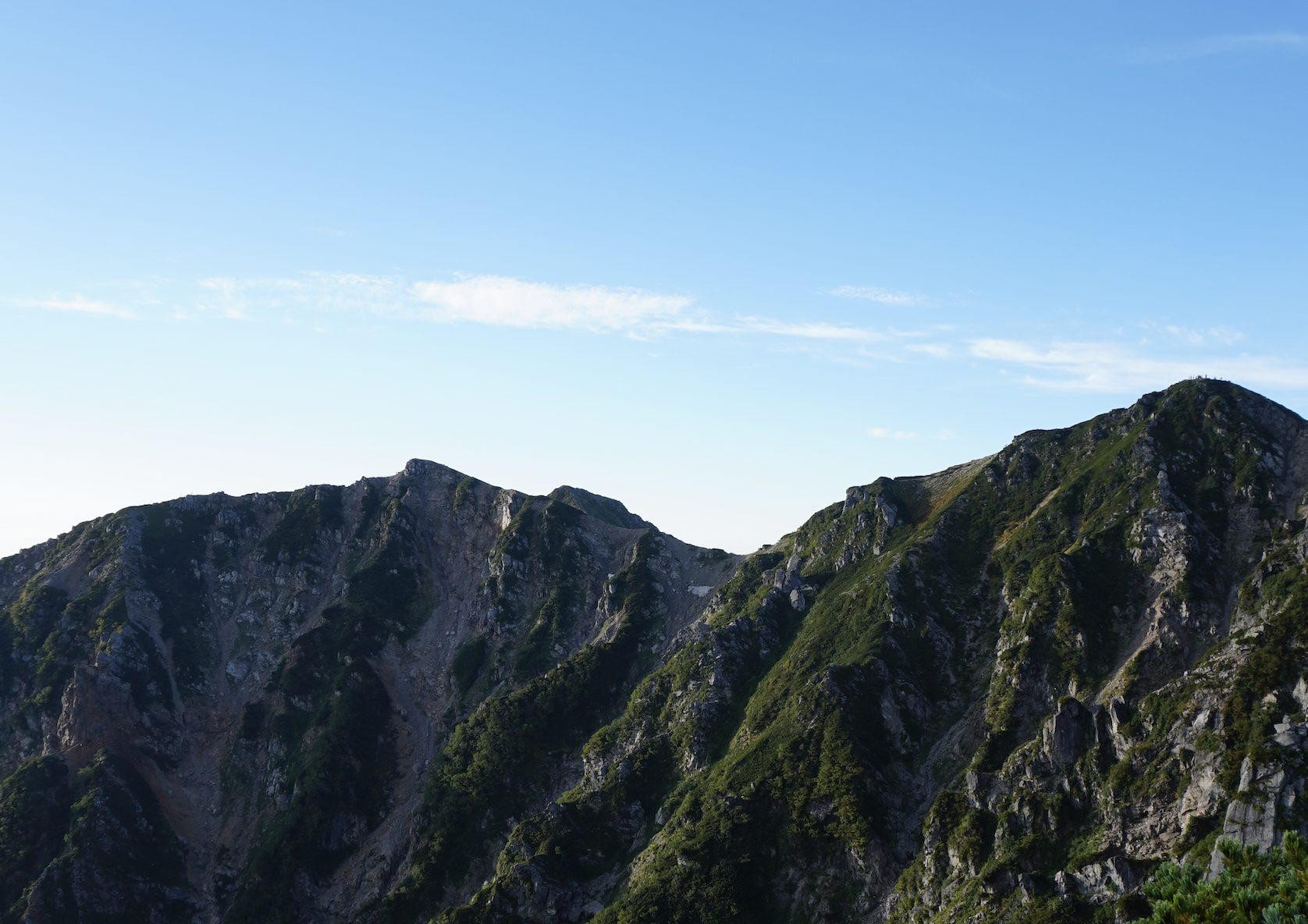
You can see people walking on the upper part of Happo-One.
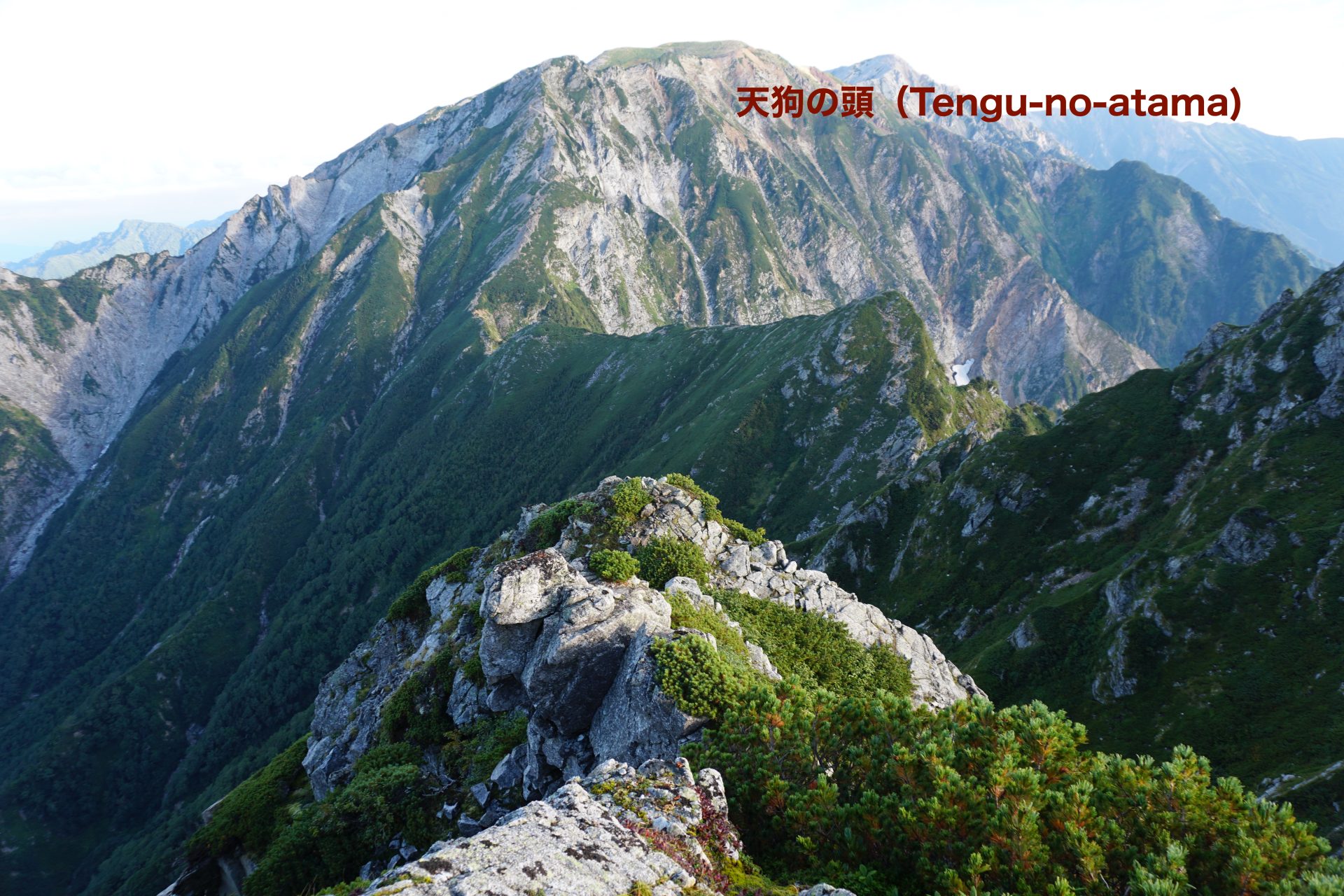
The head of Tengu-no-atama, the South peak of peakⅡ, is approaching.
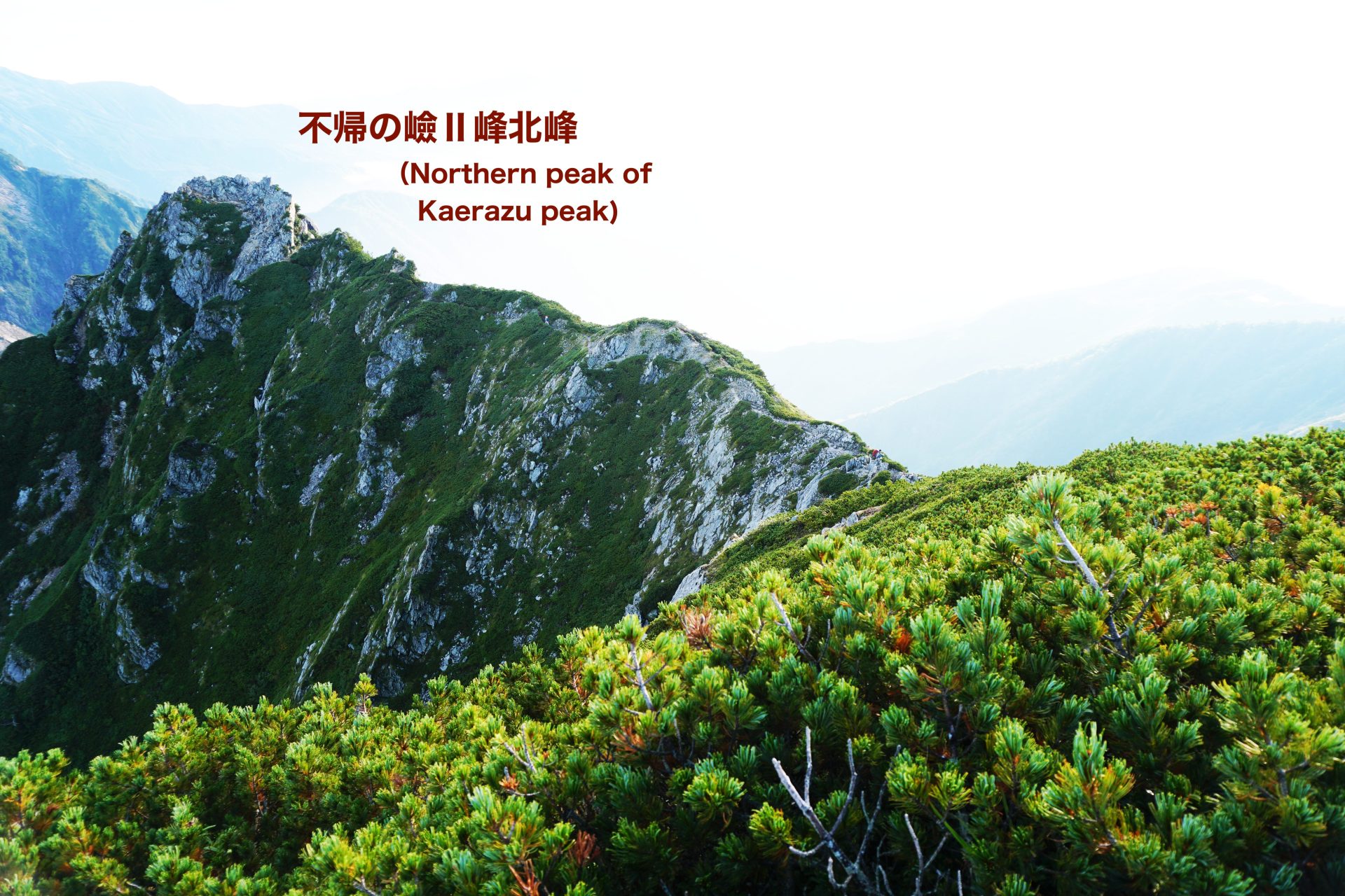
From here we will continue along the thin ridge toward the North peak of peak Ⅱ.
From the South peak of peakⅡ, you can clearly see the ridge line from Happoike to Karamatsu-dake,which you walked yesterday, and the figures on the summit of Karamatsu-dake. In this weather, the view from Happoike pond will be perfect. On the other hand, if you turn your eyes to the north, you will see the head of Tengu and the North peak of peak Ⅱ on the right in front of you. Peak II is a north-south auriform peak, and you will walk carefully on the ridge’s suspension ridge.
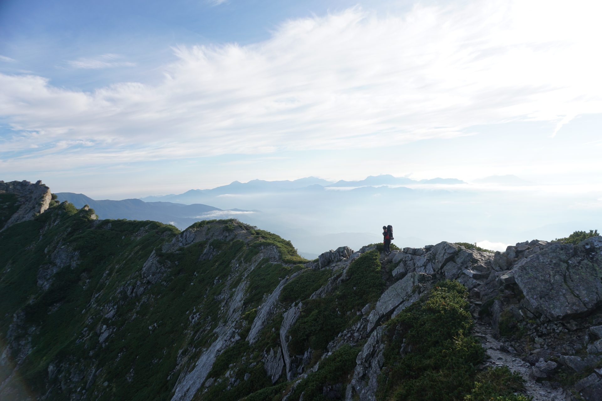
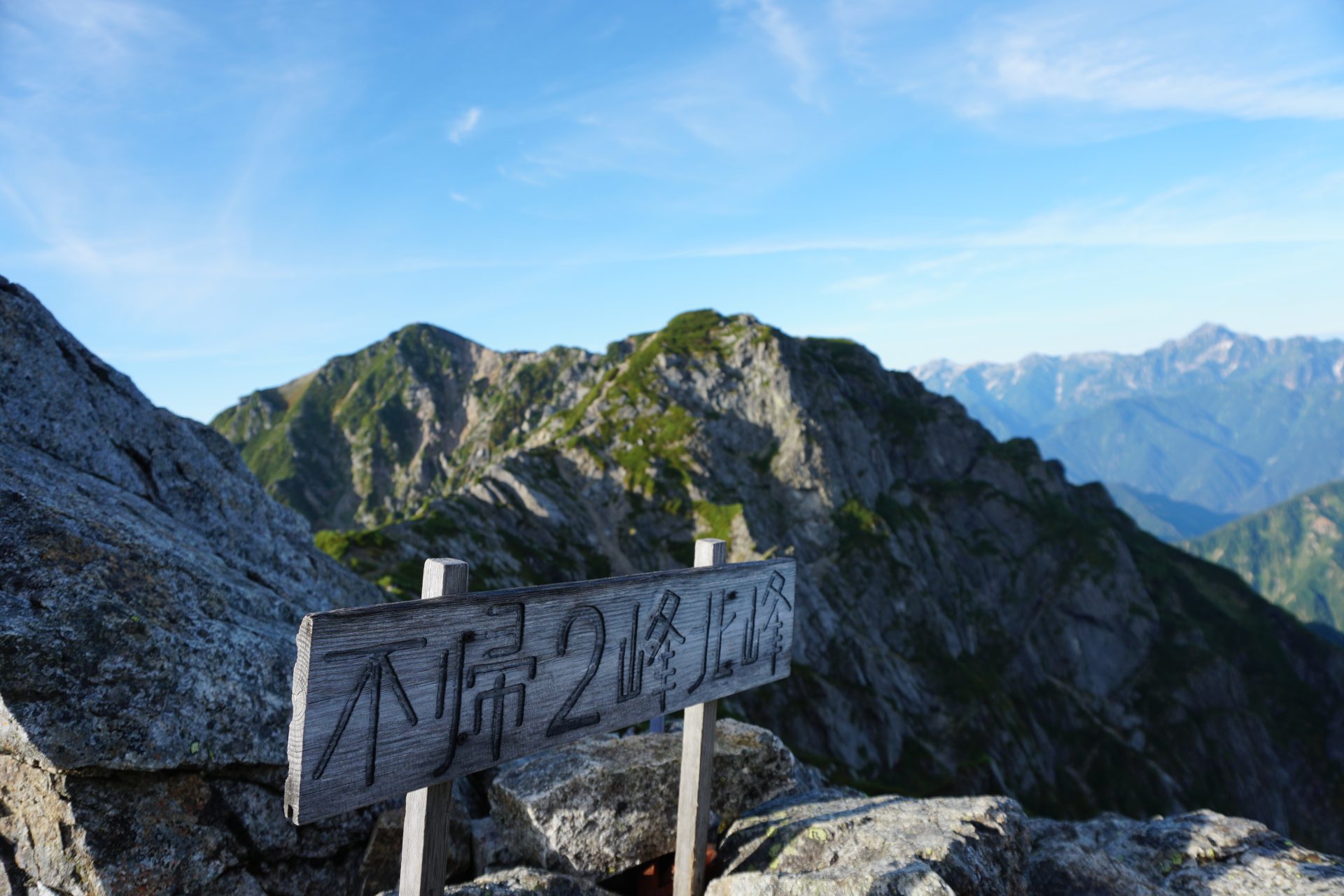
★The most difficult point from the North Peak/ PeakⅡof the Kaerazu-no-ken
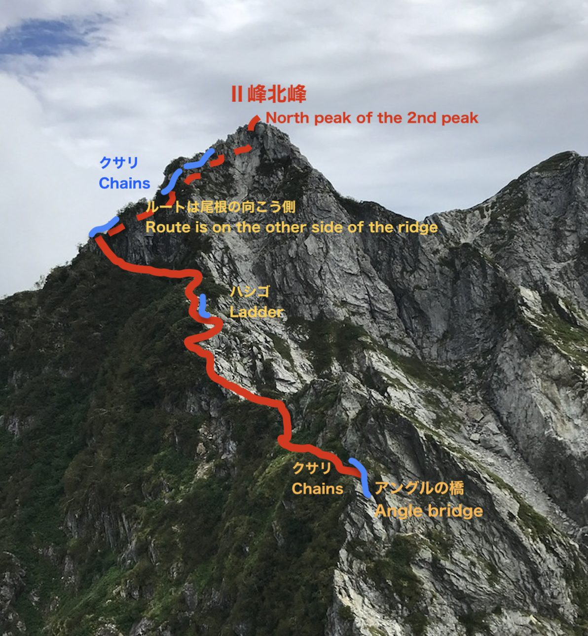
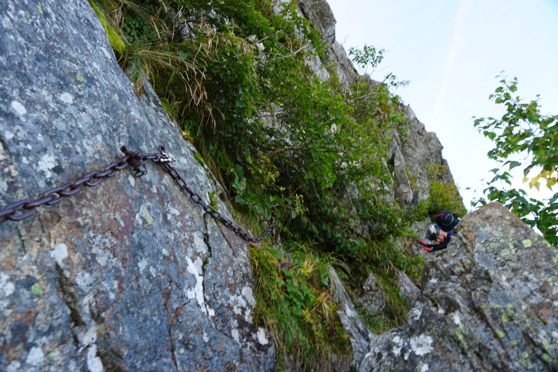
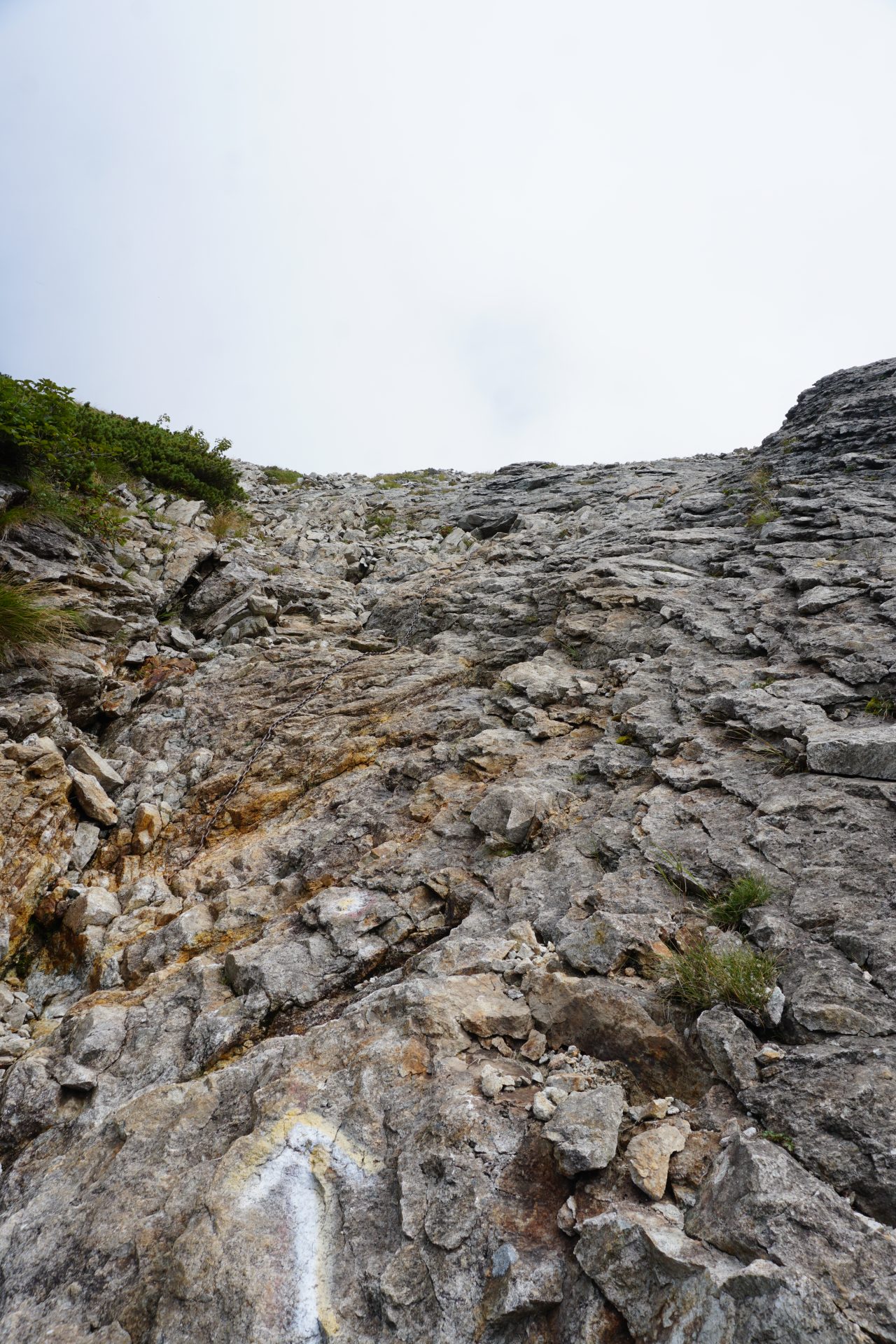
Suddenly, a series of chains and ladders begin to lower the altitude.The first half of the core section continues with chain-ladders.After descending through the slightly slanting chain slope, the next chain slope continues as if winding around a rocky area.If there is someone coming from the other side, call out to each other and set a waiting area to descend. On the steep descent, descend from the back. After
that, you will use chains to go down a ledge called a band. After traversing for a while, the rocky descent becomes steeper.The descent becomes steeper and steeper. Use a ladder to keep your balance as you descend.Make sure to secure yourself at three points as you descend. Take a break at the end of the rocky descent to relieve tension. Make sure to replenish your water intake. The rock face of Peak II stands tall in front of you.After traversing the side of the mountain for a while, you will reach the most difficult point.
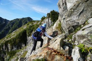
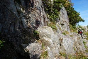
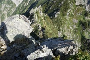
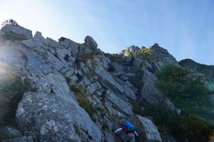
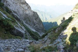
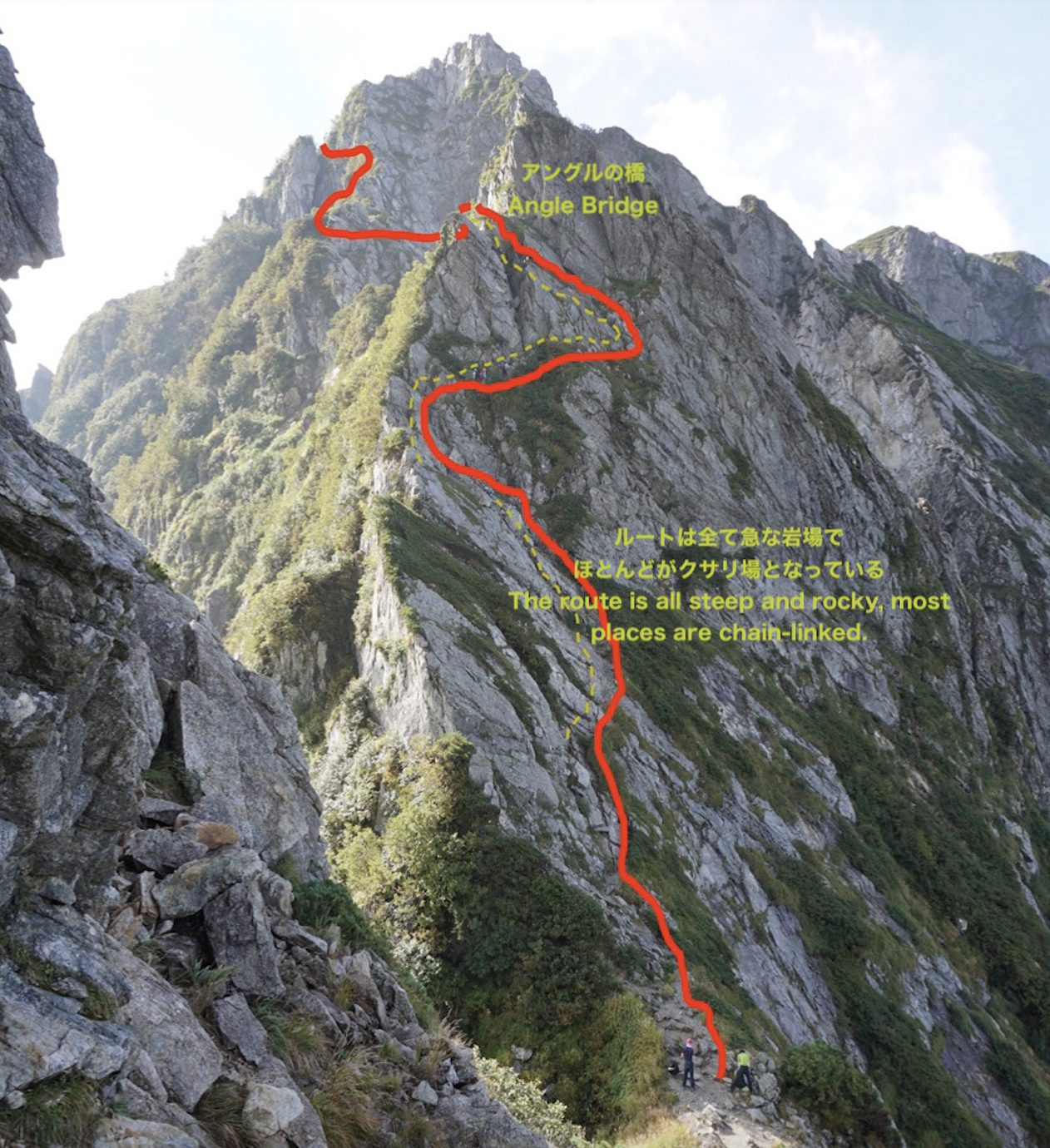
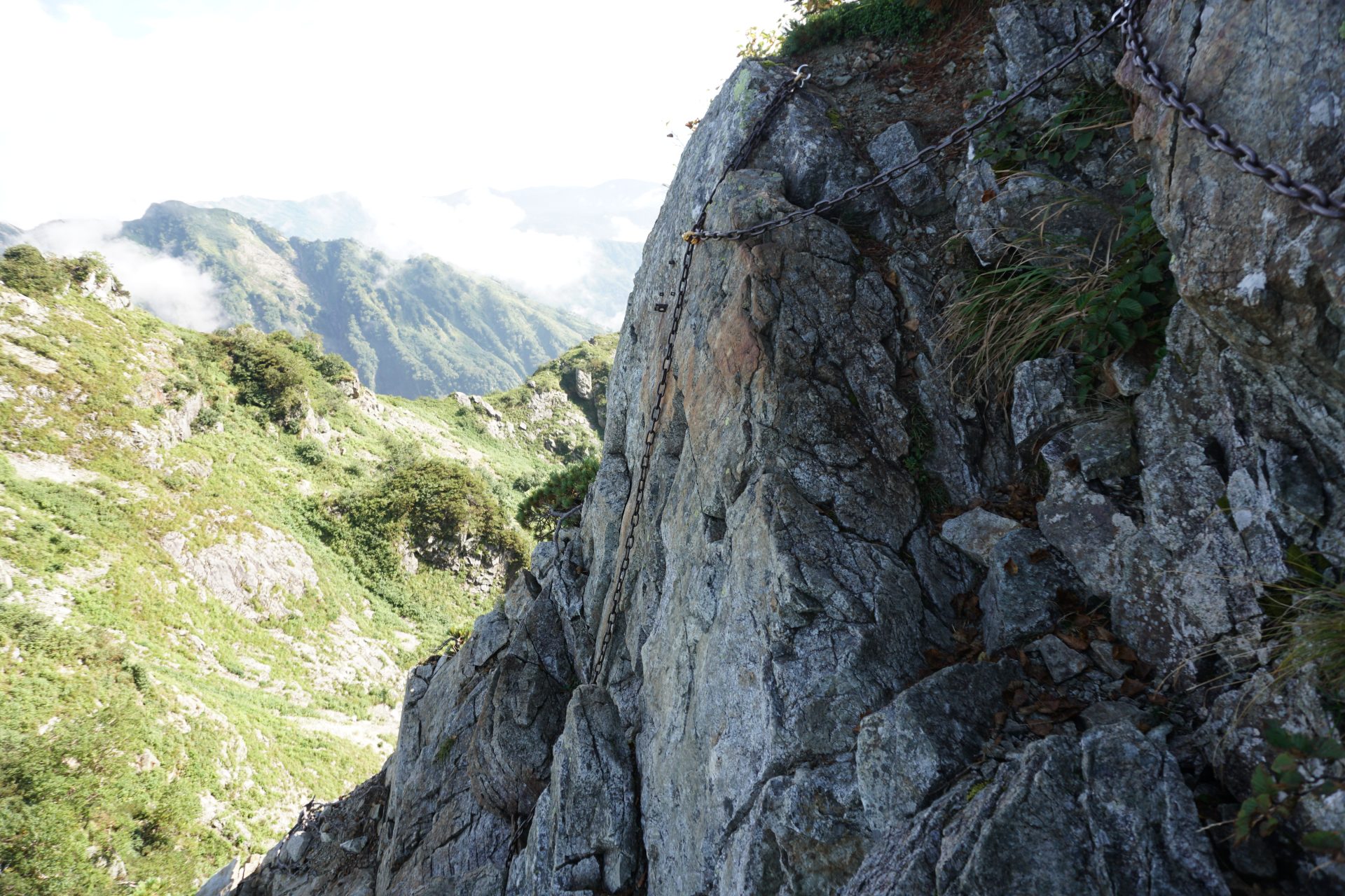
The most difficult part of Kaerazu-no-ken begins with a short but difficult-to-handle chain due to the altitude.
As you pass from the chain spot to the north side of the mountain, you will see the saddle and the valley floor, but the important thing is to focus on the chain and rock in front of you and your footwork.Call out to the climber, let him know that you are going down, and then descend the chain in a backward posture to the ladder directly below. This is the angle bridge.
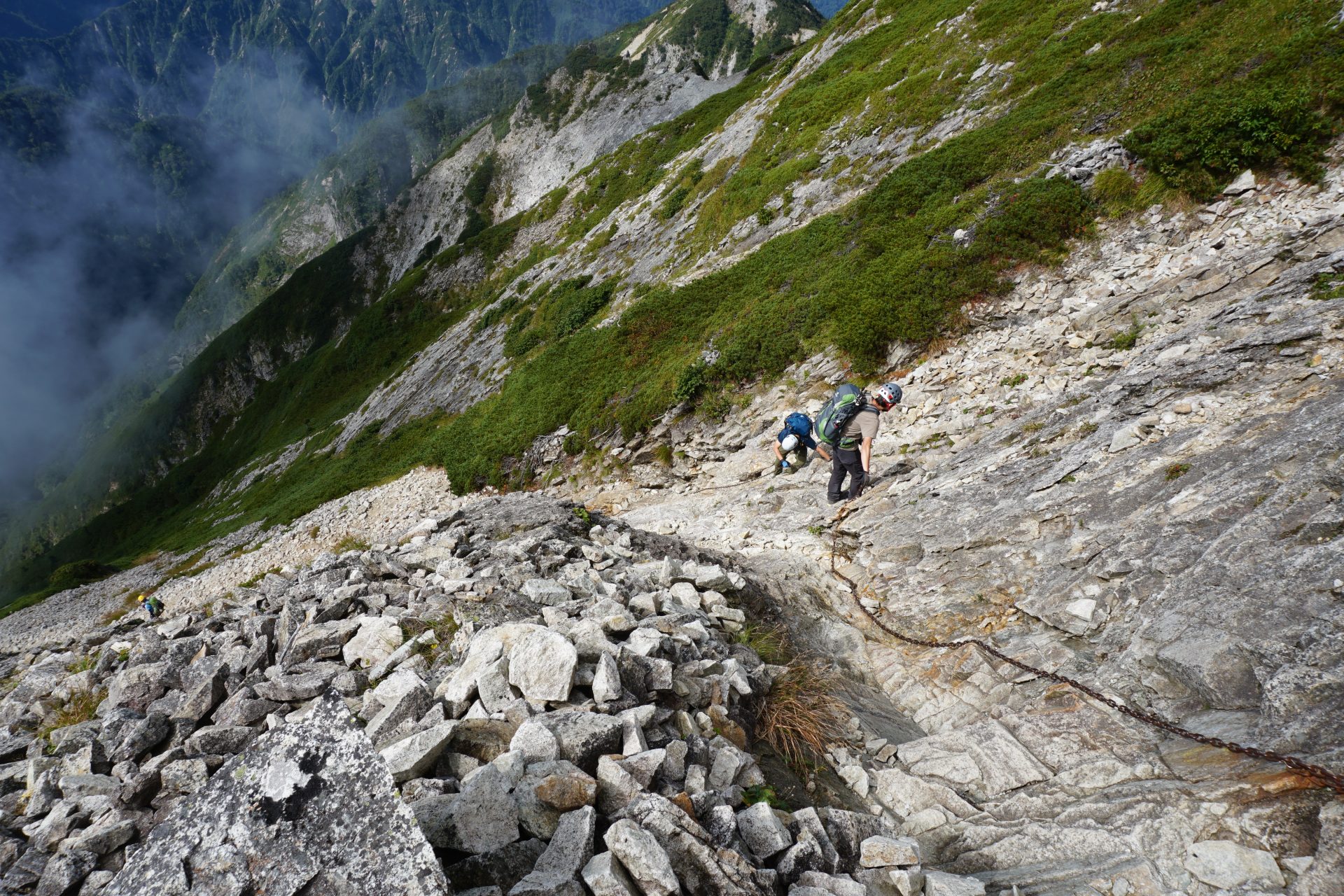
After crossing the bridge, you will descend a very steep slope at a slight incline while securing the chain along the mountain wall. At the turnaround point, descend vertically down the chain slope, and then descend in the same way with a chain slope, with the mountain on your right.
The turnaround is again a vertical scree slope, and after descending the chain slope, you will descend in the opposite direction. On the slope, you should be able to see your comrades at all times, so please call out to each of them to understand which one of you is ahead of the other. After descending the last chain slope, you will arrive at the summit’s attachment point. Good work!
Although there are a few pauses along the way, you will notice that the route on this slope is almost always marked with chain. Please make effective use of the chains to ascend and descend without relying
on them or slipping down without using them in a pretentious way.
If you remember to secure the basic three points (back descent style on the way down), the challenge will surely go well.
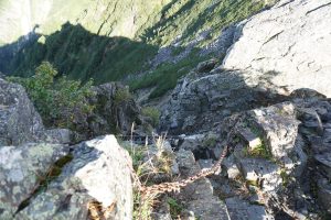
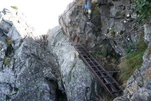
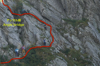
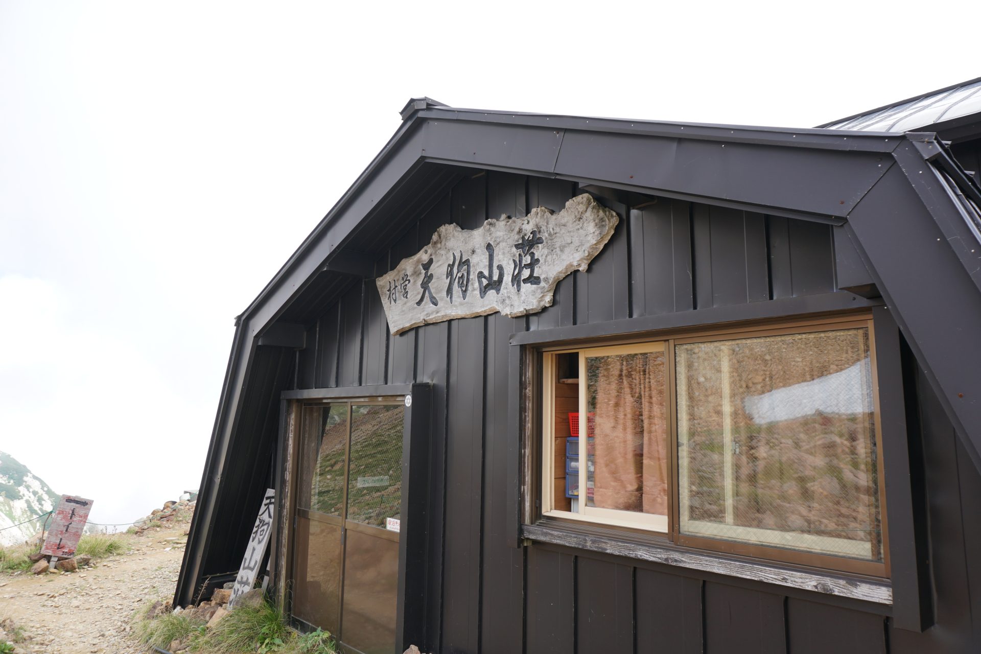
★Kaerazu-no-ken – Tengu sanso mountain hut – Hakuba Yari Onsen Guide
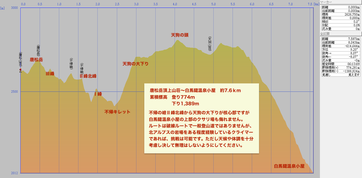
From the core of Kaerazu-no-ken, we will go to Tengu-sanso mountain hut PeakⅠof Kaerazu-no-ken is not so difficult. Then we will reach the saddle, Kaerasu kiretto. From here, we will take the Tengu-no-O-kudari , which is a reverse route, and climb up 300 meters at a stretch. The second half of the ascent is long, and those on the top have to be careful of falling rocks.
After less than an hour of patient climbing, you will reach the Tengu-no-O-kudari.
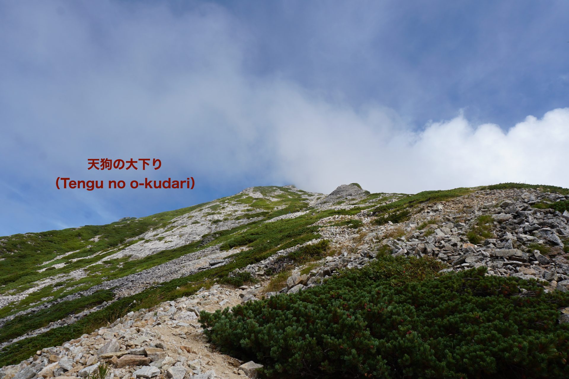
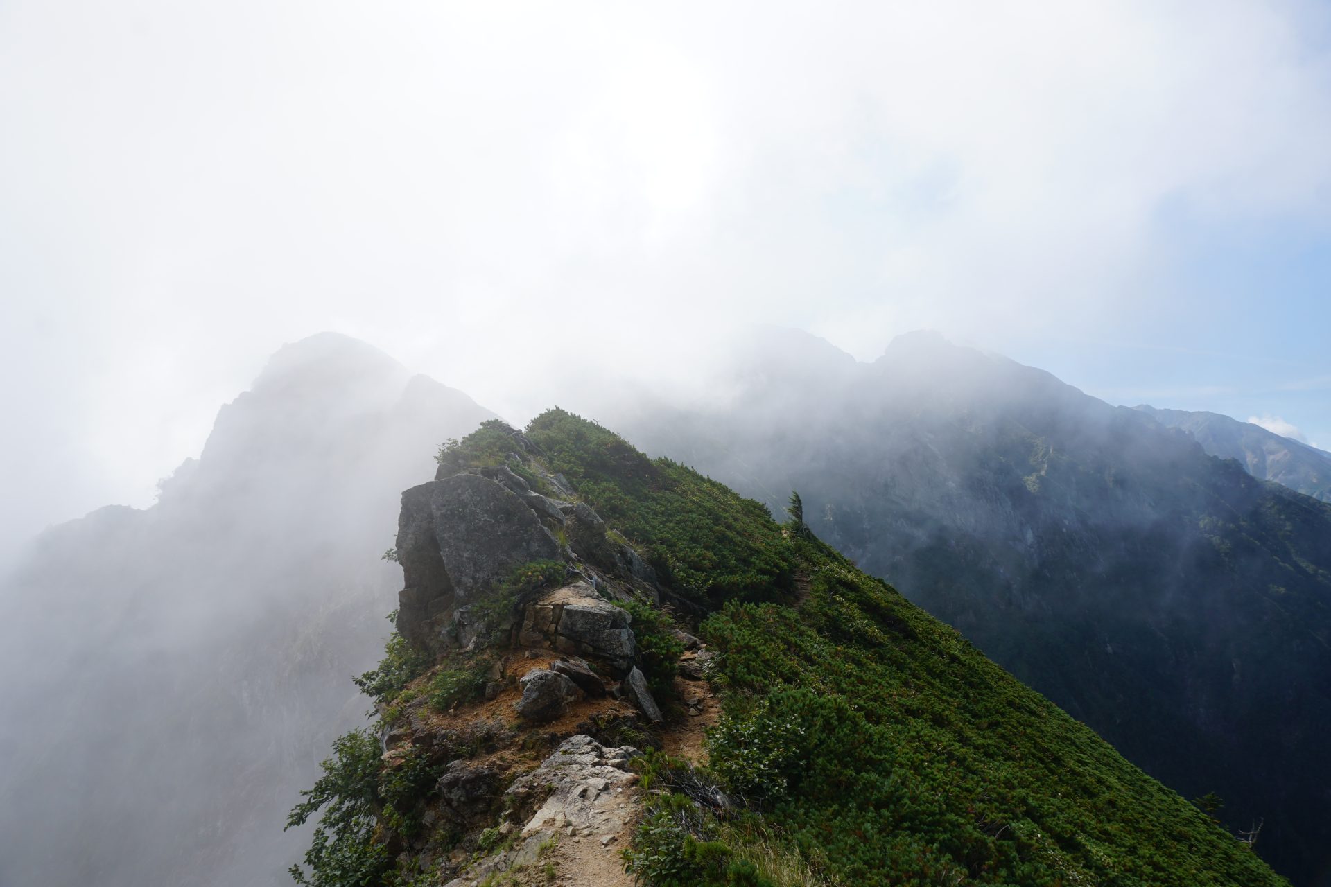
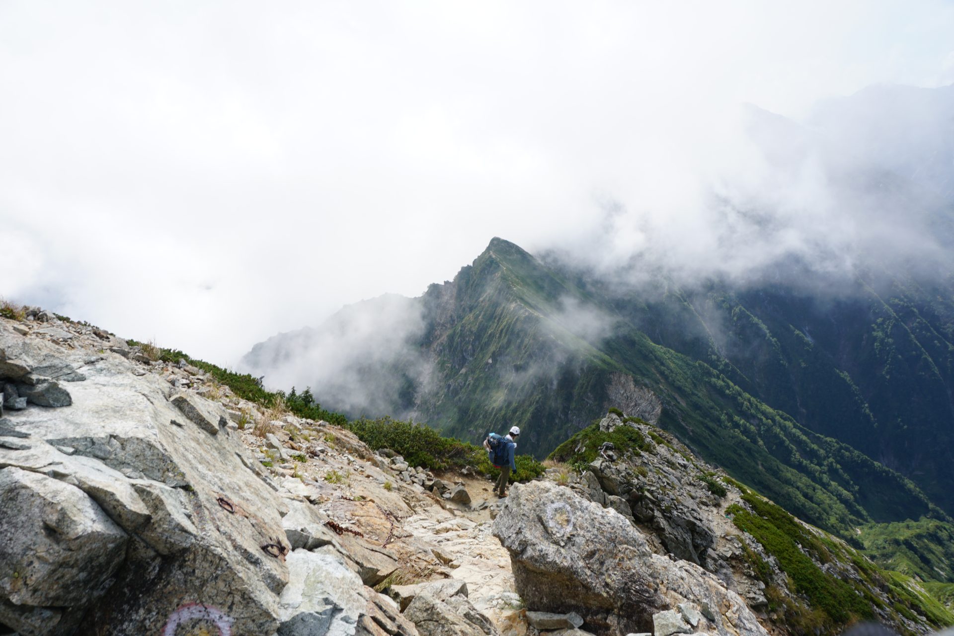
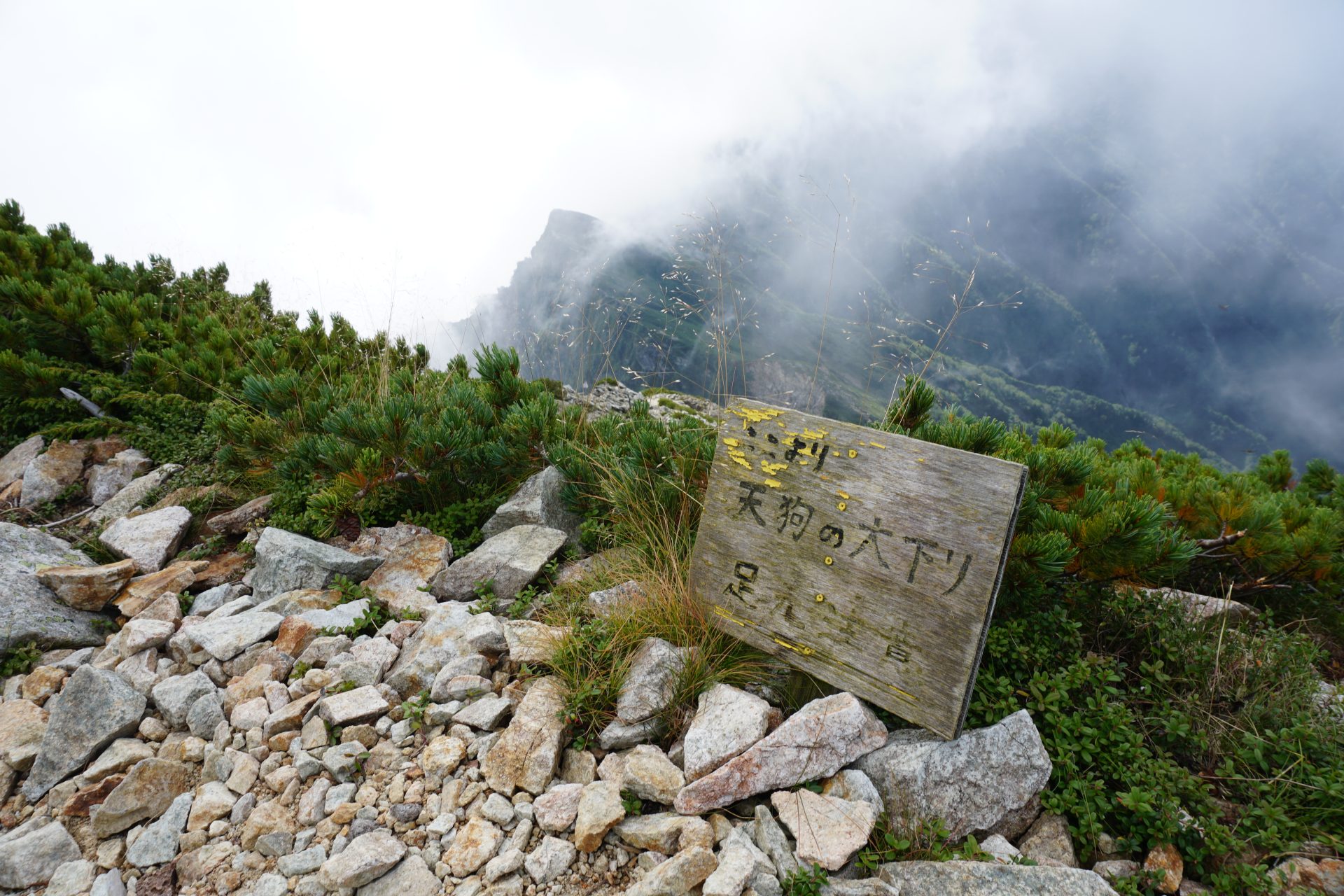
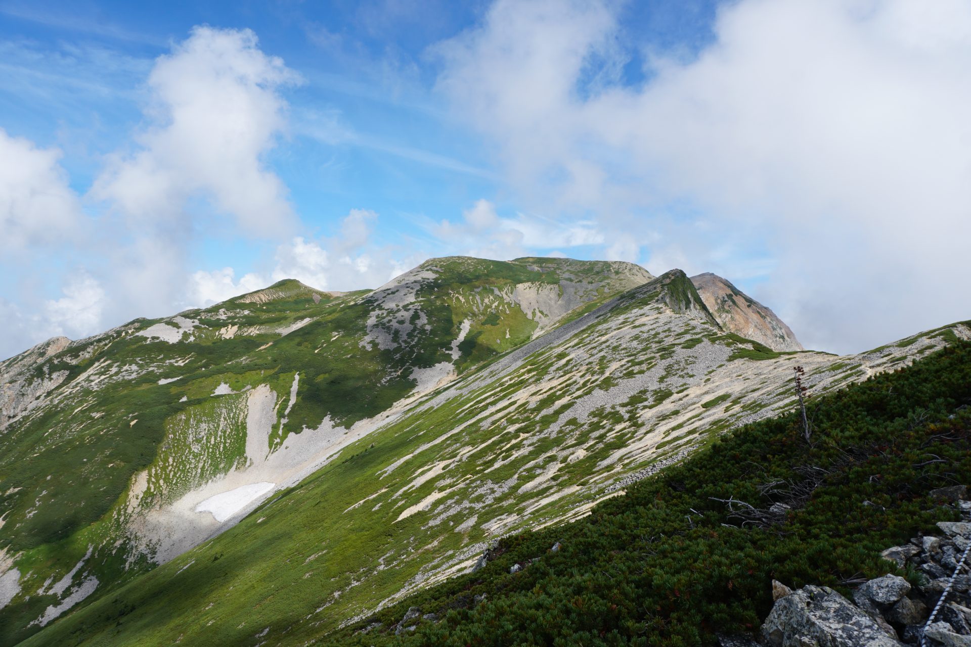
From the Tengu no O-kudari attachment
It changes completely and becomes a pleasant ridge line. If you have hiked Omote-ginza traverse, you can enjoy a rewarding hike with a somewhat similar atmosphere to the Omote-ginza traverse.
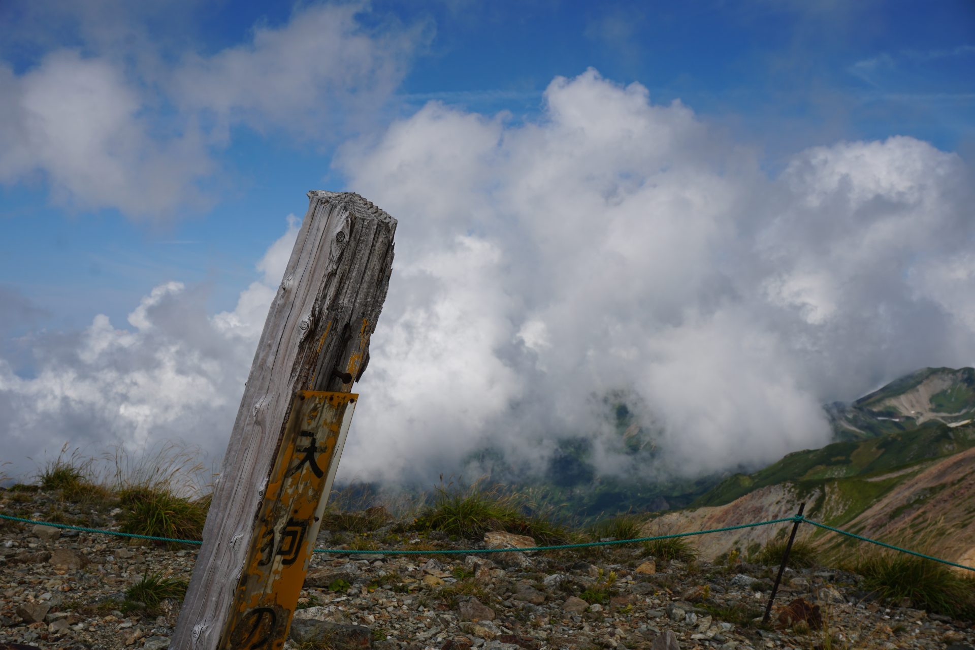
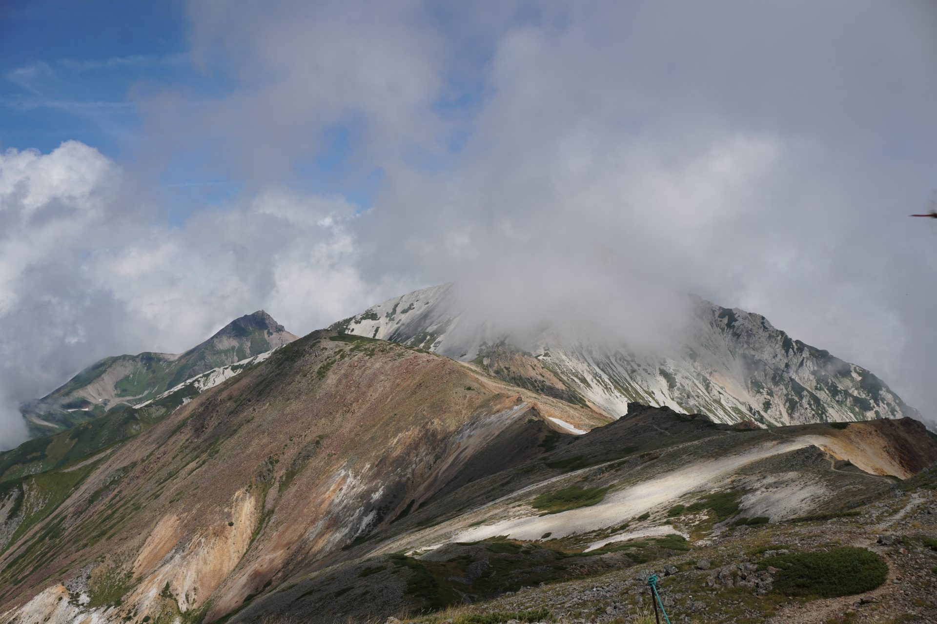
Huge and graceful massif of Hakuba Yari-gatake seen from the Tengu-no-atama.
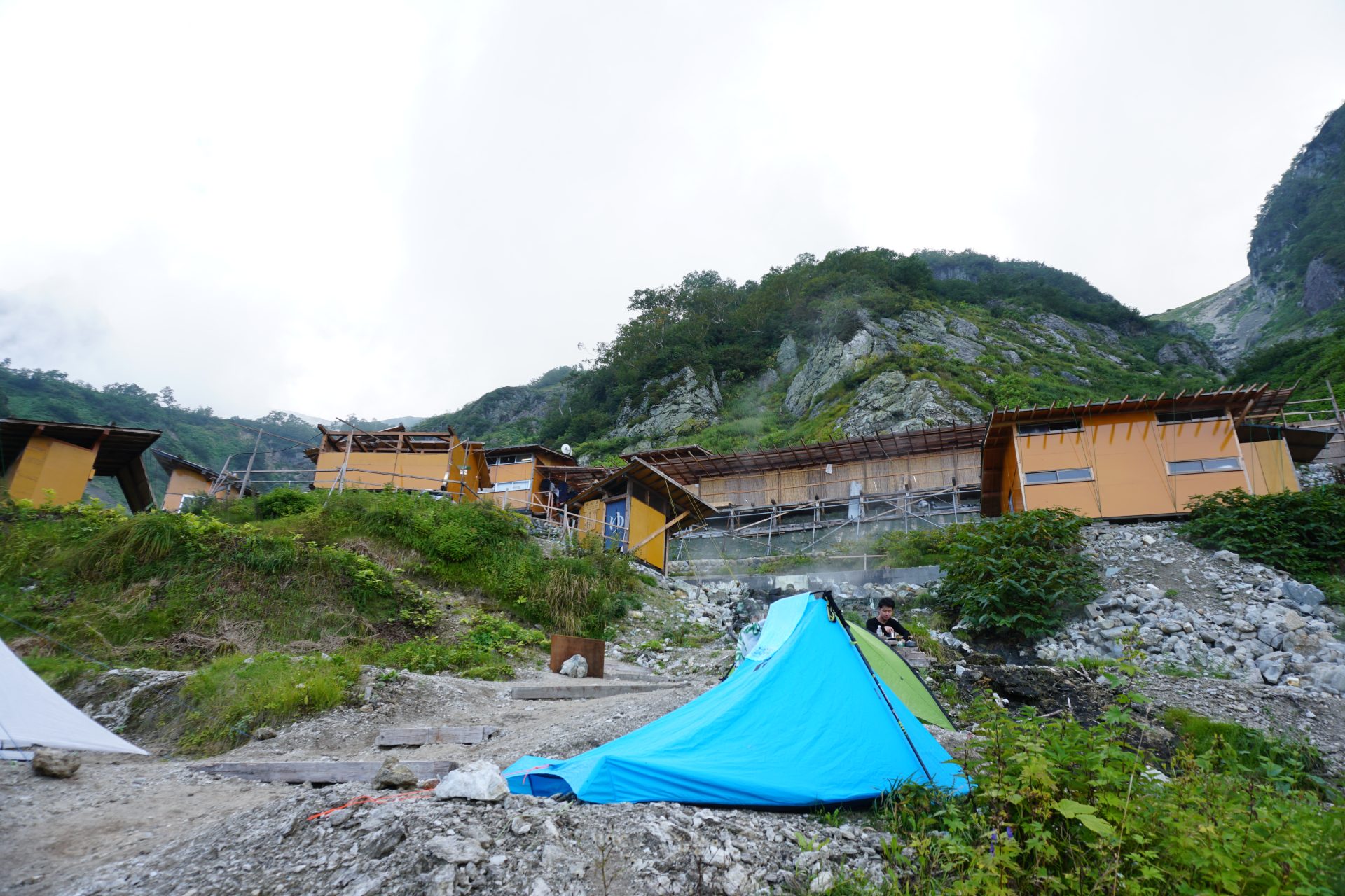
And from here we will descend toward Hakuba Yari Onsen.
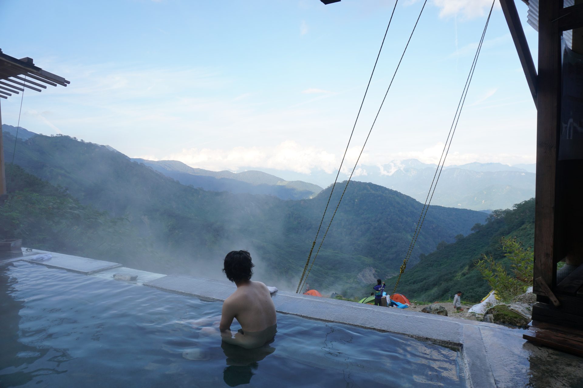
It took about 9 hours from Karamatsu-dake summit lodge. We are tired.
