Gongendake-Route
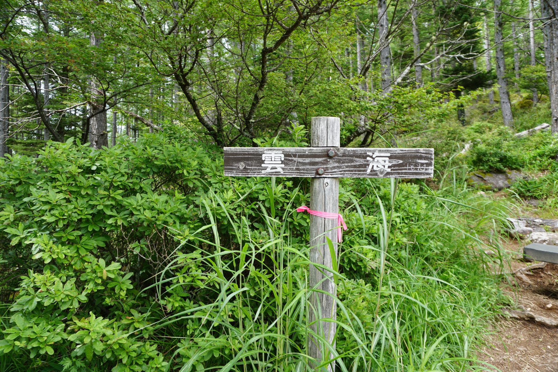
②Kannon-daira 〜 Nature trail junction 〜 Fujimi plateau observatory 〜 Kidooguchi park 〜 Mitsu-gashira 〜 Gongen-dake 〜 Gongen hut 〜 Beacon fire stand 〜 Seinen hut 〜 Oshitegawa 〜 Sea of clouds 〜 Kannon-daira
Technical level: B
Physical strength level: 4
climbing constant 32.1
Difficulty level: ★★
The approach to Gongen-dake is mainly from Tennyoyama and Kannon-daira.
From Kannon-daira, many people climb in the direction of Seinen hut and go up to Gongen-dake via Mt. Amigasa-yama, here we will introduce the counterclockwise route up to Mitsu-gashira.
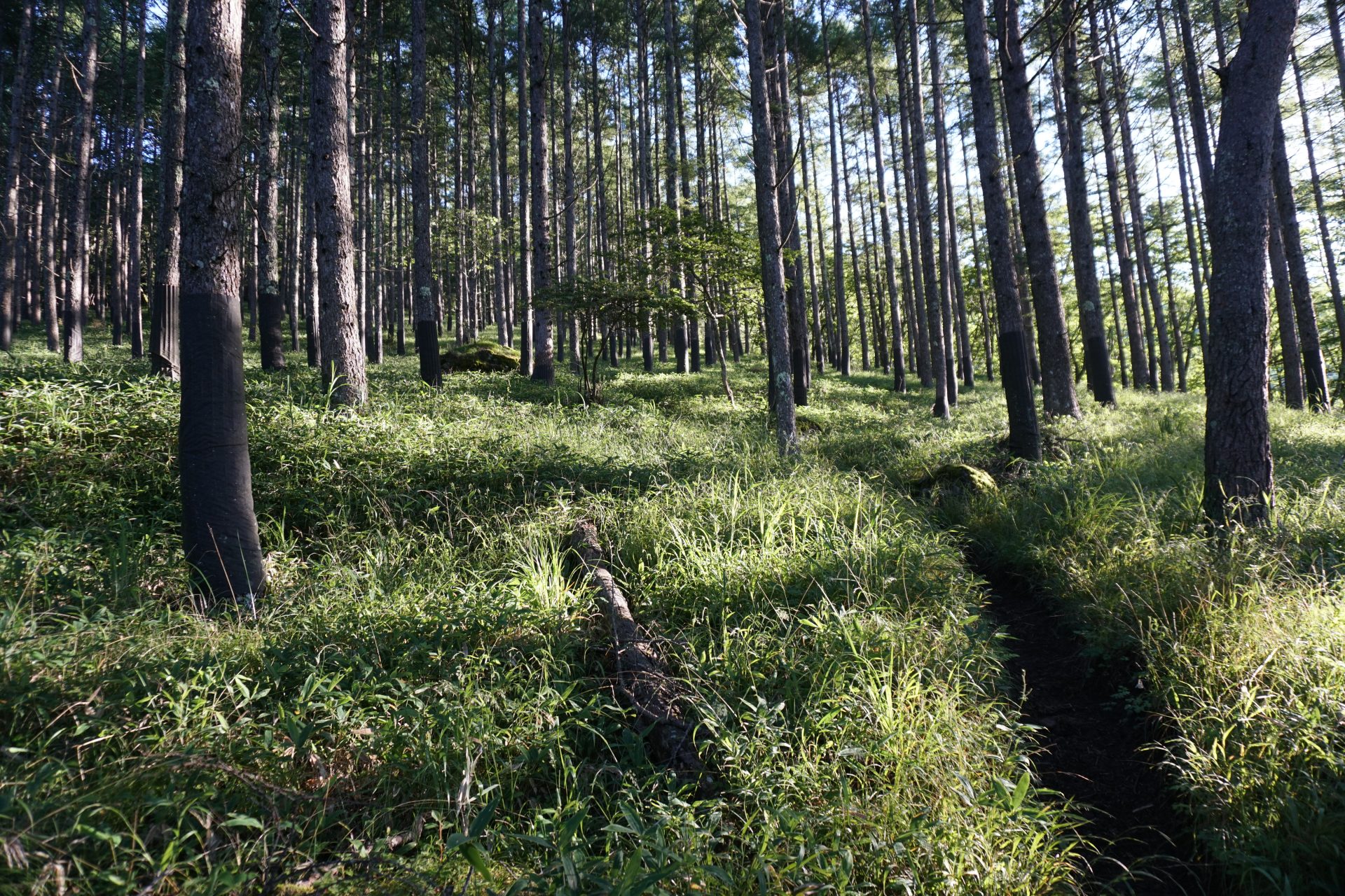
The first half of the route is a path of little change through the bamboo grasslands, but the walk along the ridge line from around Kidoguchi Park is sure to be a pleasant and scenic mountain climb.
Access to Kannon-daira Trailhead
●Hiking Data
Schedule: 1 night 2 days or day trip
Walking hours: 8 hours (ascent: 4 hours 15 minutes, descent: 3 hours 45 minutes)
Walking distance: 10.9 km
Difference in elevation: 1,357 m
Gongen-koya

Elevation 2,680m
↓ 1 hour 15 minutes
Seinen-goya

Elevation 2,383m
↓ 55 minutes
Kannon-daira
Route Guide
Mt. Gongen-dake was also called Hinoki-mine in the old days, and according to the legend of Hinoki-mine Shrine on the summit, it has been recorded as a mountain of faith since ancient times. The trailhead, Kannon-daira, is already 1,560 meters above sea level, and is a fairly high place to start. There are two parking lots with space for about 50 cars, but even this is not enough during the summer, and as a result, many cars are parked along the side of the forest road in front of the parking lot. Kannon-daira is basically accessible only by car, but in 2022 Hokuto City, North Face, and a local travel agency are jointly operating a shared cab service from JR Kobuchizawa (reservation required).
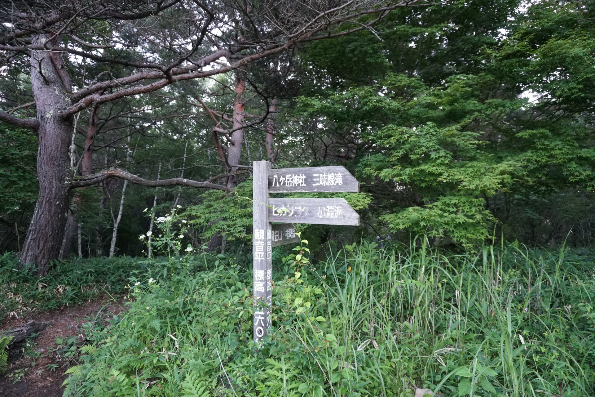
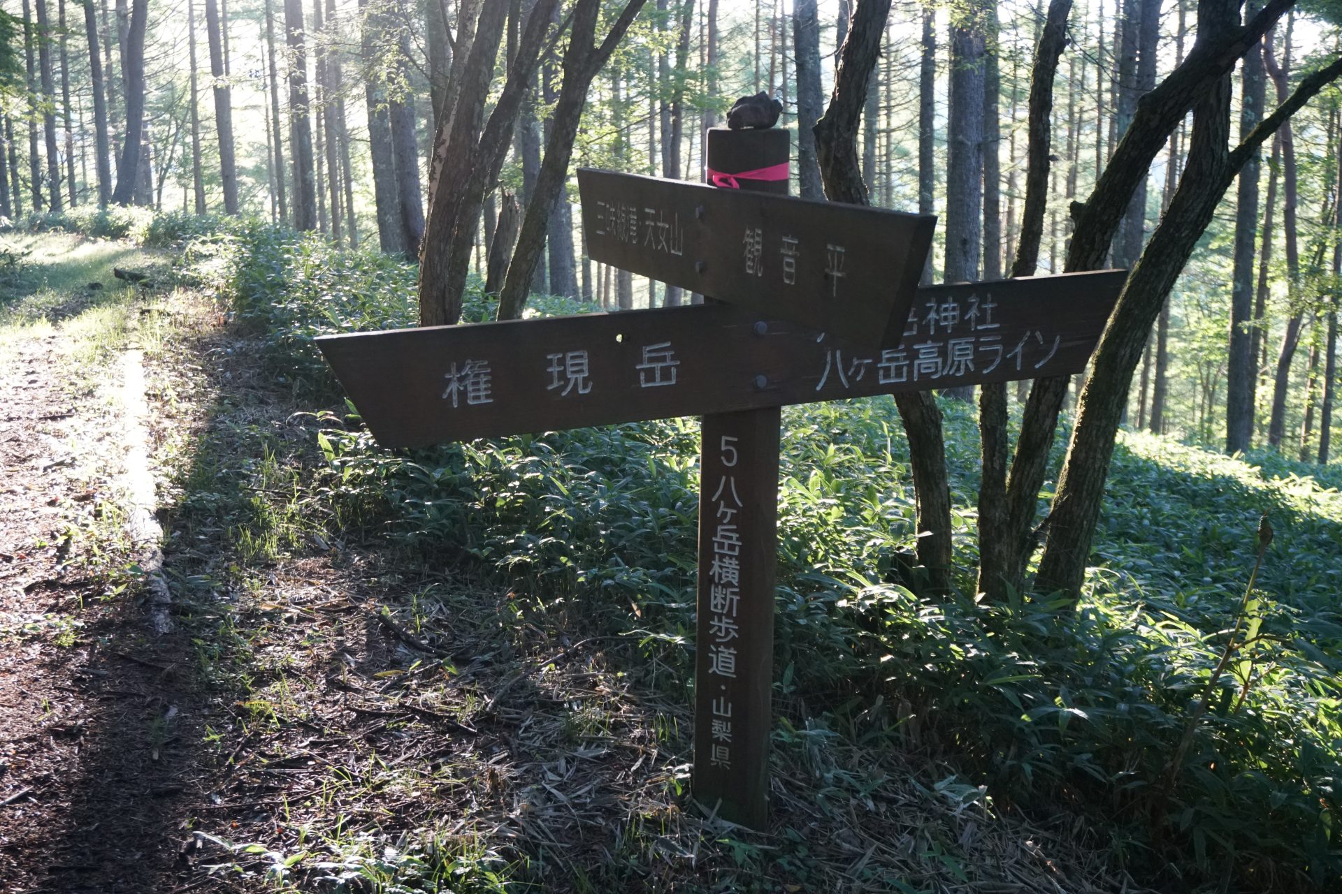
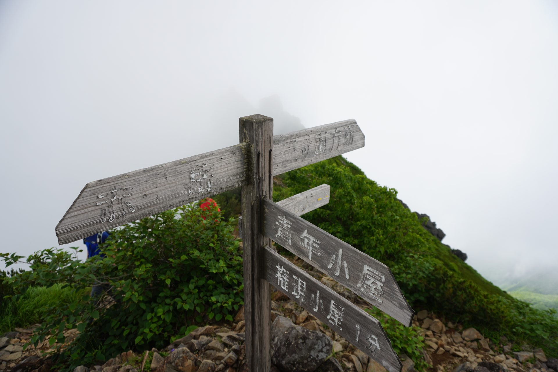
After submitting the mountaineering report, continue on the Yatsu-gatake Crossing trail. There is a route toward Mt. Amigasa-yama, so please check the signs carefully and proceed in the direction of Shamisen Falls.
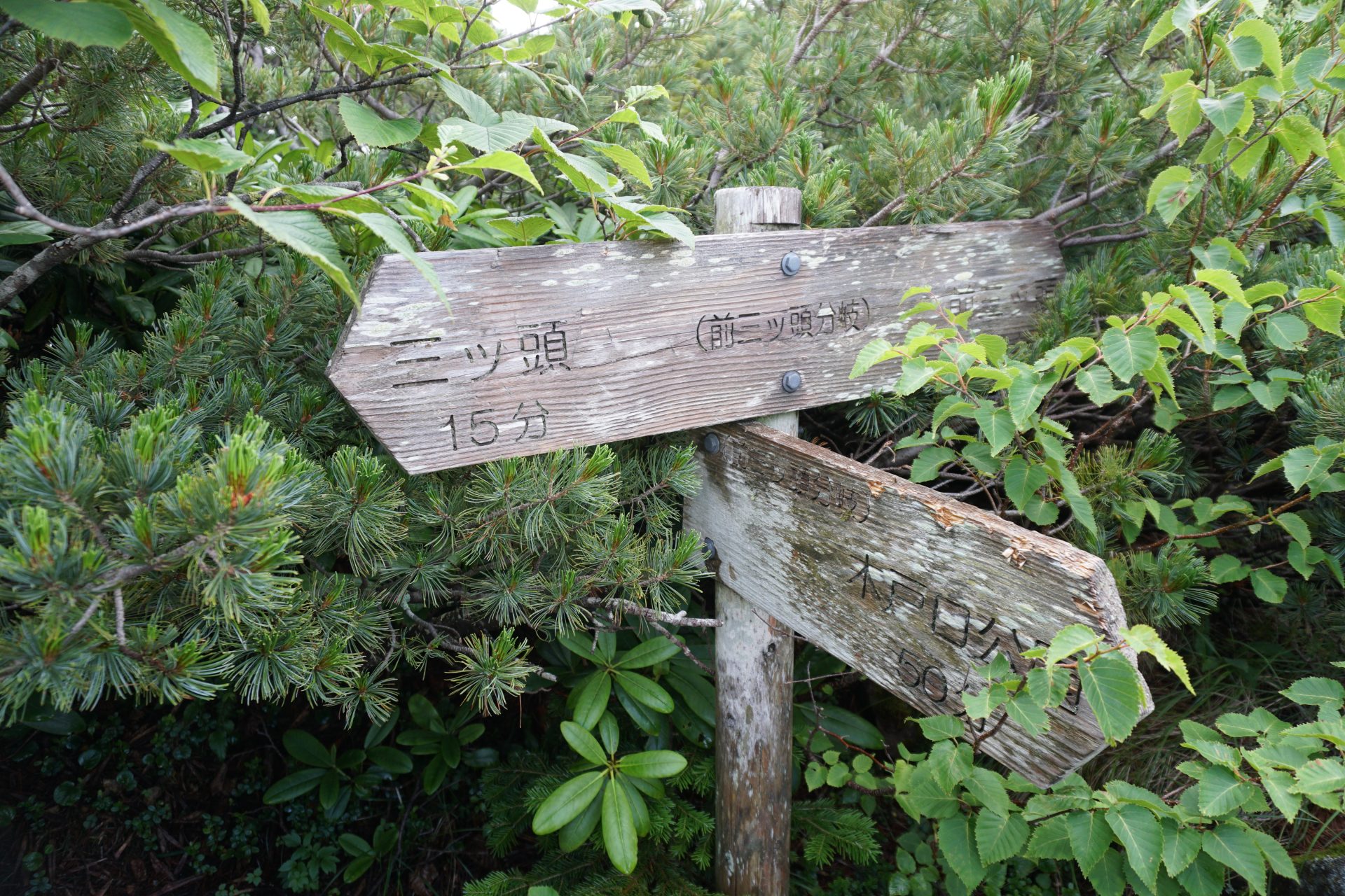
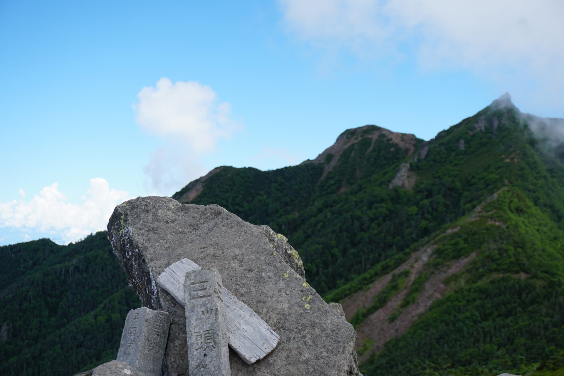
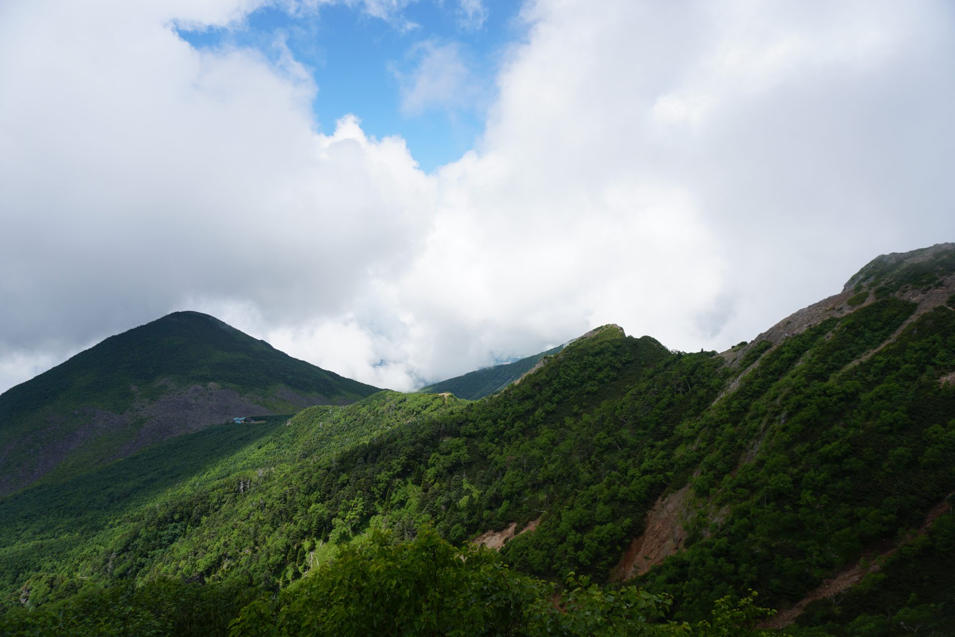
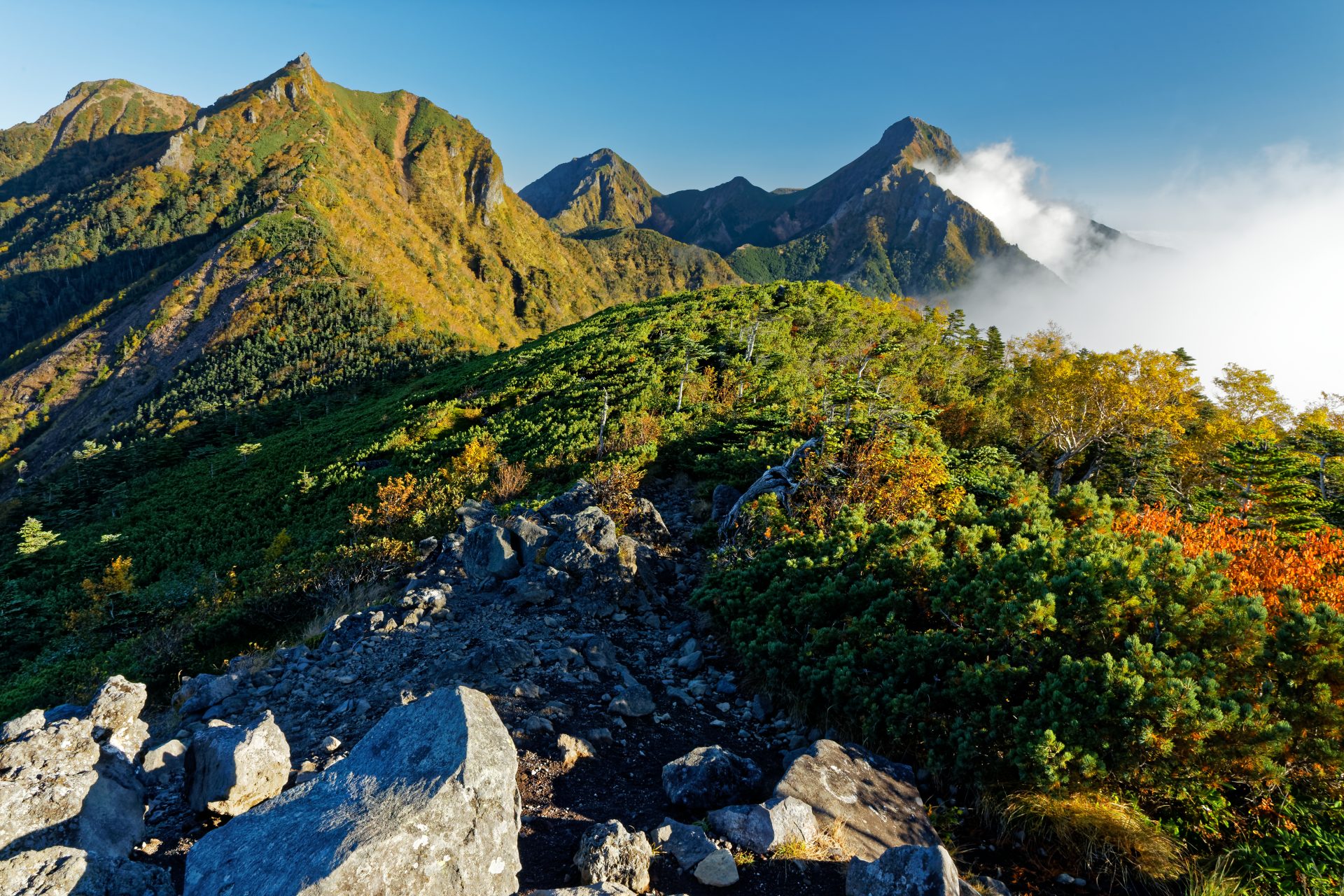
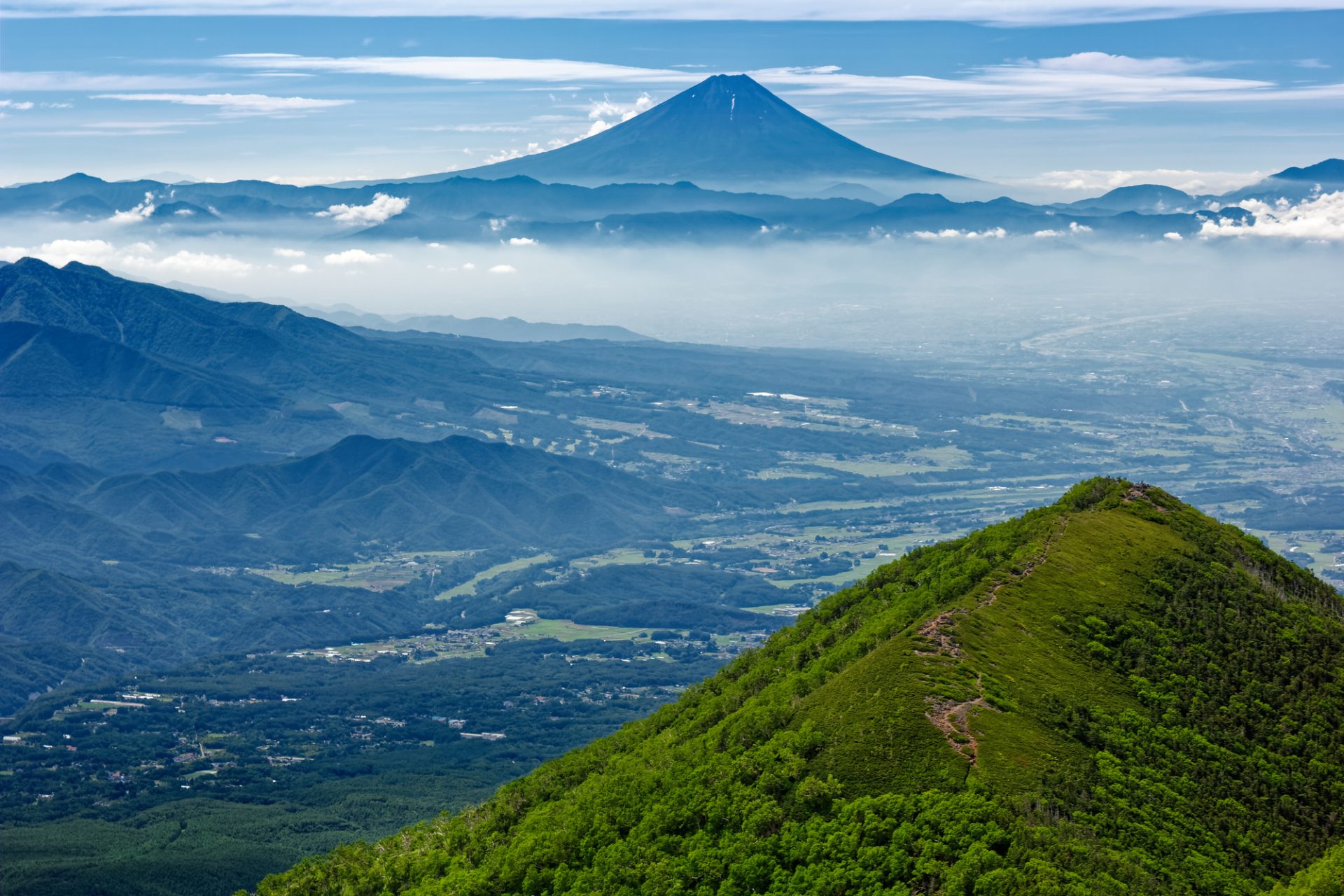
After climbing back up the trail, you will come to a branch to Mitsu-gashira. After more than an hour of patient climbing, you will reach the Fujimi Kogen Observation Deck, which opens up to the east, and then continue on for a while until you reach Kidooguchi Park. At this point, Mt. Gongen finally comes into view. After another 30 minutes of walking, the view opens up and you can see the beautiful conical shape of Mt. Amigasa-yama, when you reach the junction with Mt. Tennyo-yama, you can now see the Southern Alps clearly.
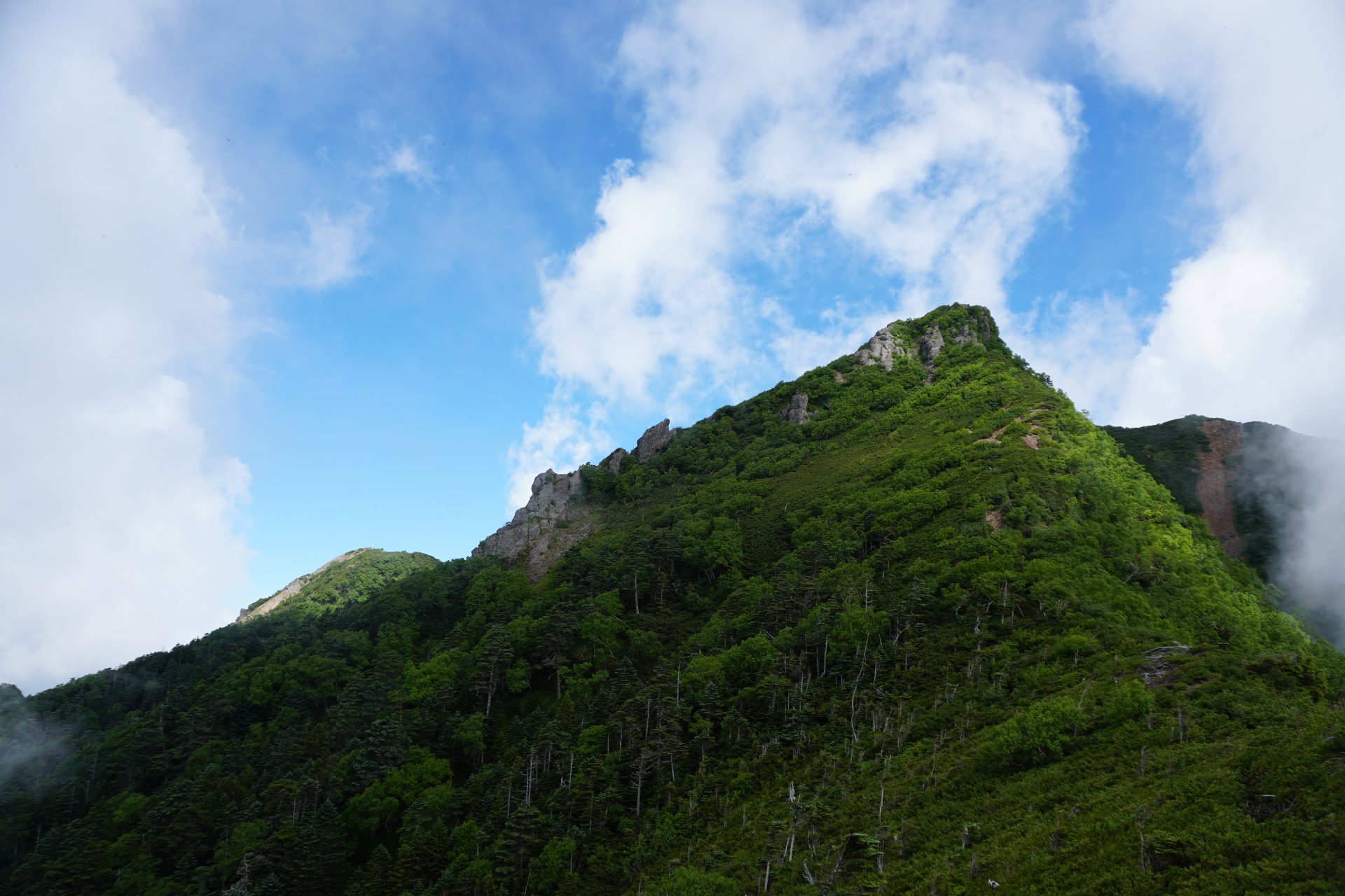
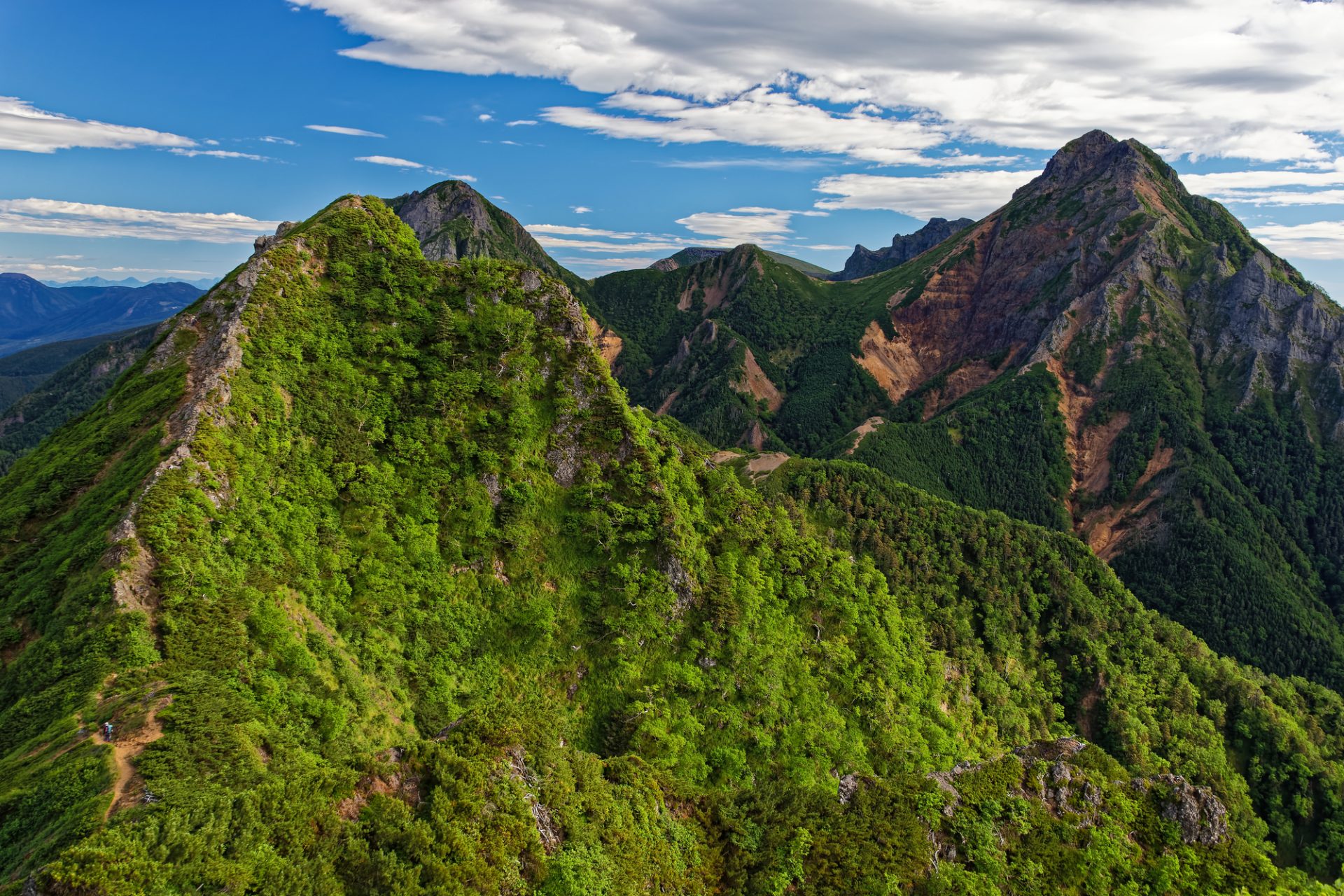
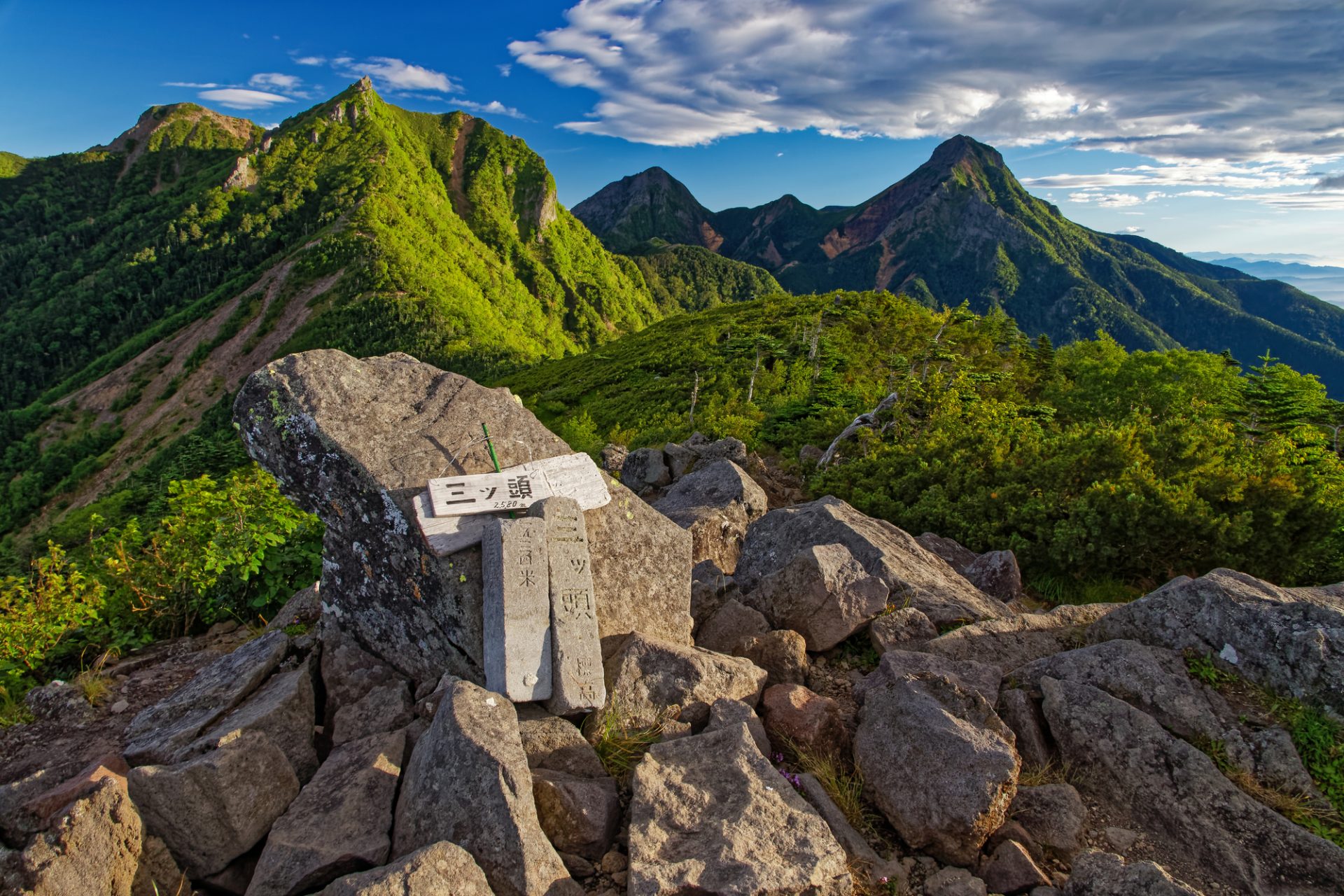
It takes about 3.5 to 4 hours from the trailhead to reach the Mitsu-gashira. Even here, if the weather is already clear, the view will be unquestionably spectacular. Looking up, it is difficult to distinguish between Giboshi and Gongen, but the one in front is Gongen-dake. Gongen-dake summit in about an hour, although the climb is a little steep from here.
If you proceed from this side, Hinoki-mine Shrine will be in front of you, so please stand at the summit after paying your respects. The summit is rocky, so climb in order.
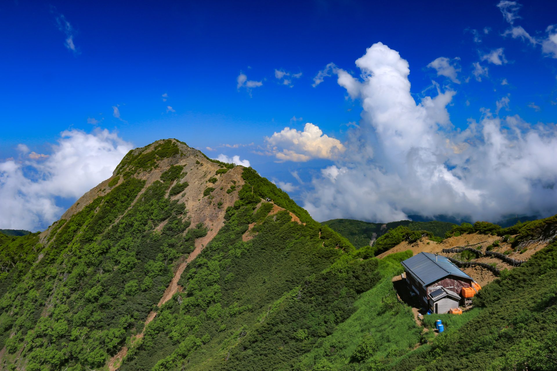
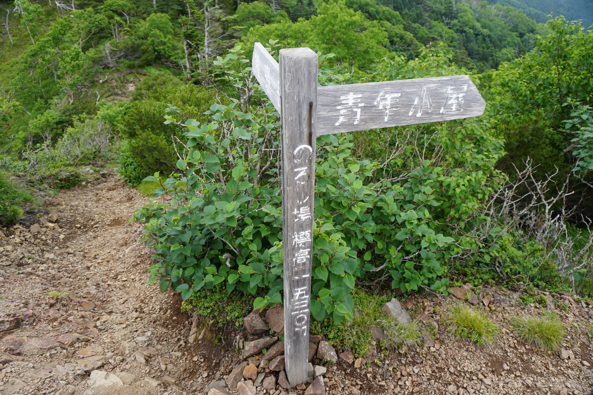
Just below the summit, a little further down the rocky path, the Gongen Hut will appear on your left. Traverse Mt. Giboshi-dake rising in front of you and continue on toward the Seinen Hut. On the way, you will pass a place that looks like a beacon fire tower, and after walking for about an hour, you will reach Seinen Hut. From here, a 30-minute climb up a rocky slope will take you to Mt. Amigasa-yama, but you will go straight down to Kannon-daira. The foothold has many large rocks and it is a little difficult to climb, but it takes about 2.5 to 3 hours to return to Kannon-daira
