Sanjiro Ranch Route
②Center house ~ Hirokoba ~ A descending point ~ Utsukushi-no-tou ~ O-gato ~ O-gahana ~ Center house
Technical level: B
Physical strength level: 2
Difficulty level: ⛰️
A loop course, which visits the core part of Utsukushi-gahara.
The variance in elevation is bigger. Have fun!
●Hiking data
Schedule: One day
Waling hours: 5 hours 45 minutes
(Up: 3 hours 45 minutes/Down: 2 hours 20 minutes)
Walking distance: 9.9 km
Difference in elevation: 715 m
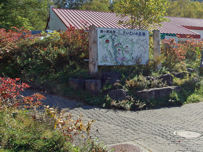
Center house

Elevation 1,420m
↓ 40 minutes
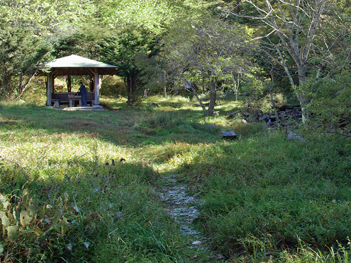
Hirokoba
Elevation 1,619m
↓ 1hour 30 minuets
A descending point
Elevation 1,940m
↓ 25 minutes
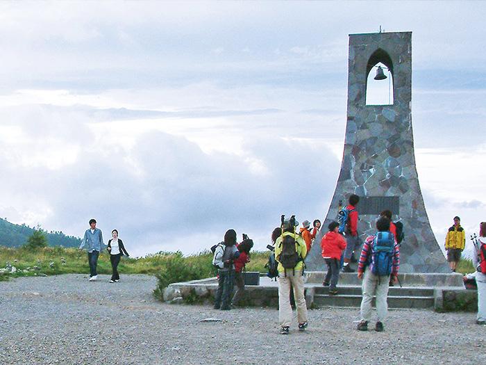
Utsukushi-no-tou
Elevation 1,961m
↓ 50 minutes
O-gato
Elevation 2,034m
↓ 20 minutes
O-gahana
Elevation 2,008m
↓ 2hours
Center house
Elevation 1,420m
Route Guide
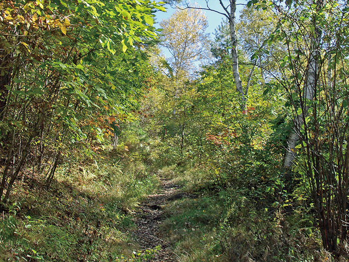
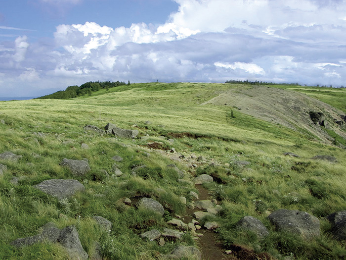
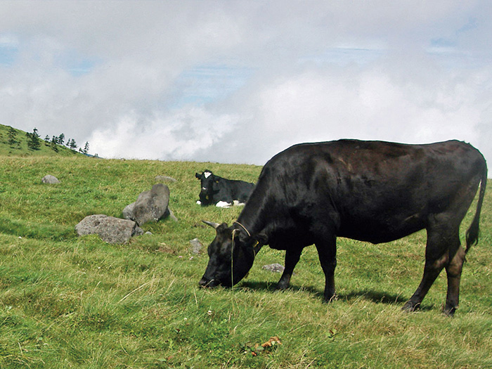
This route starts from the Center house and ascends through the Hyakumagari course via O-gato and O-gahana then descends to Date-kawara. There are restaurants ahead of the trailhead. It is a fun sightseeing hiking course. Many road signs and signboards are placed so it is safe to walk around the area. Take a break at Hirokoba and start ascending the Hyakumagari course. The trail is a steep slope, covered by trees, which increases the possibilities of encountering a wide variety of plants. Utsukushi-gahara-no-tou is reached after passing Shiokure-ba from the descending point. Descend the same trail used for ascending shortly, heading to O-gato. It is a comfortable trail to walk on. Antennas at O-gato come into sight. It is a widely open area. You may want to enjoy the view as long as possible. Hakusan-fuuro and thistles may be in bloom. It is an impressive view of cows relaxing and eating grass. This area is called Utsukushi-gahara Plateau.
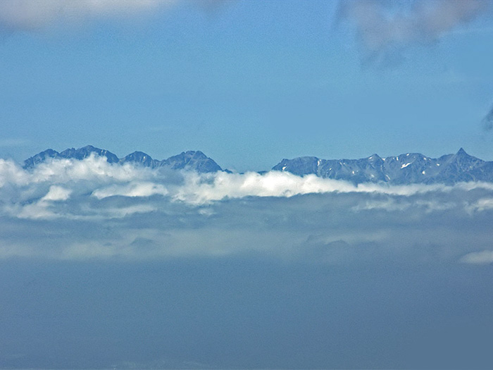
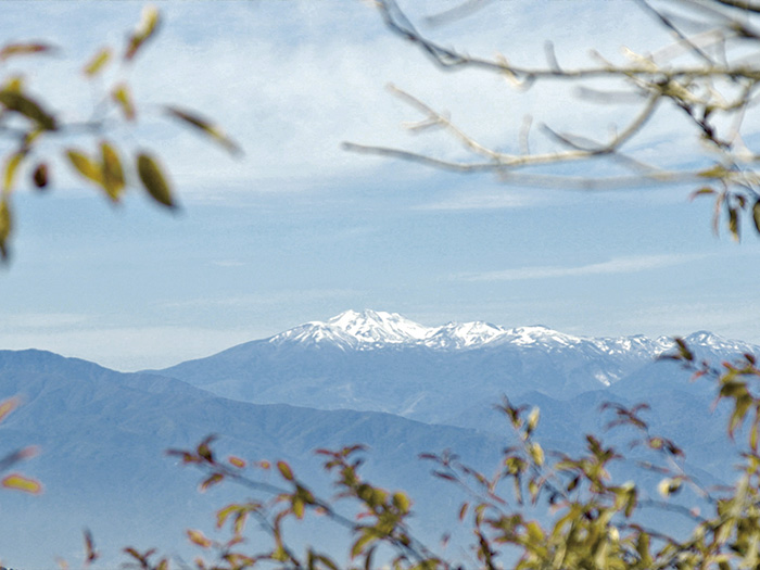
O-gahana is reached in about 20 minutes after passing the O-gato hotel. 30 % of the top 100 famous Japan mountains can be viewed from here. The most scenic view can be enjoyed through Utsukushi-gahara. Enjoy a 360 degree view. O-gato and O-gahana are named after their appearances as the head and nose of the king when viewed from Matsumoto. After enjoying the view, descend the same trail used for ascending and follow the Date-kawara course. The beginning of the downhill is steep. A variety of alpine plants are seen in the area. Yama-tsutsuji can be enjoyed during its blooming season. A larch forest spreads out around the end of the trail. There are some unstable points along the trail so caution must be employed.