Baba-dani Route from Karasawa-dake
②Mt. Karamatsu-dake ~ Mt. Gaki-yama ~ Babadani Onsen Hot Spring ~ Keyaki-daira station
Technical Level: D
Physical strength: 5
Difficulty: ★★★★
A long trail to descend to Keyaki-daira in the Kurobe Gorge.
It is a long trail for advanced hikers. The walking time from Mt. Karamatsu-dake is set as 9 hours and 10 minutes, however this is estimated time only for hikers who are used to hiking from peak to peak in the North Japan Alps. It is a course where your previous experiences will make a difference in your walking hours, therefore, you should consider the use of Gaki-yama emergency shelter wisely.
●Hiking Data
Schedule One night and two days
Walking hours: 9 hours 10 minutes
Walking distance: 15km / 19.4km(From Happo)
Cumulative elevation difference: 1,649 m
Mt. Gaki-yama
Elevation 2,128m
↓ 1 hour
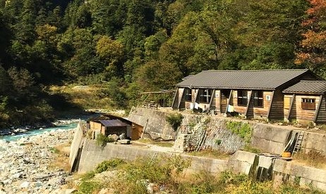
Babadani Onsen Hot Spring

Elevation 780m
↓ 40 minutes
Route Guide
Refer to 2. Mt. Goryu-dake for the route to the summit of Mt. Karamatsu-dake
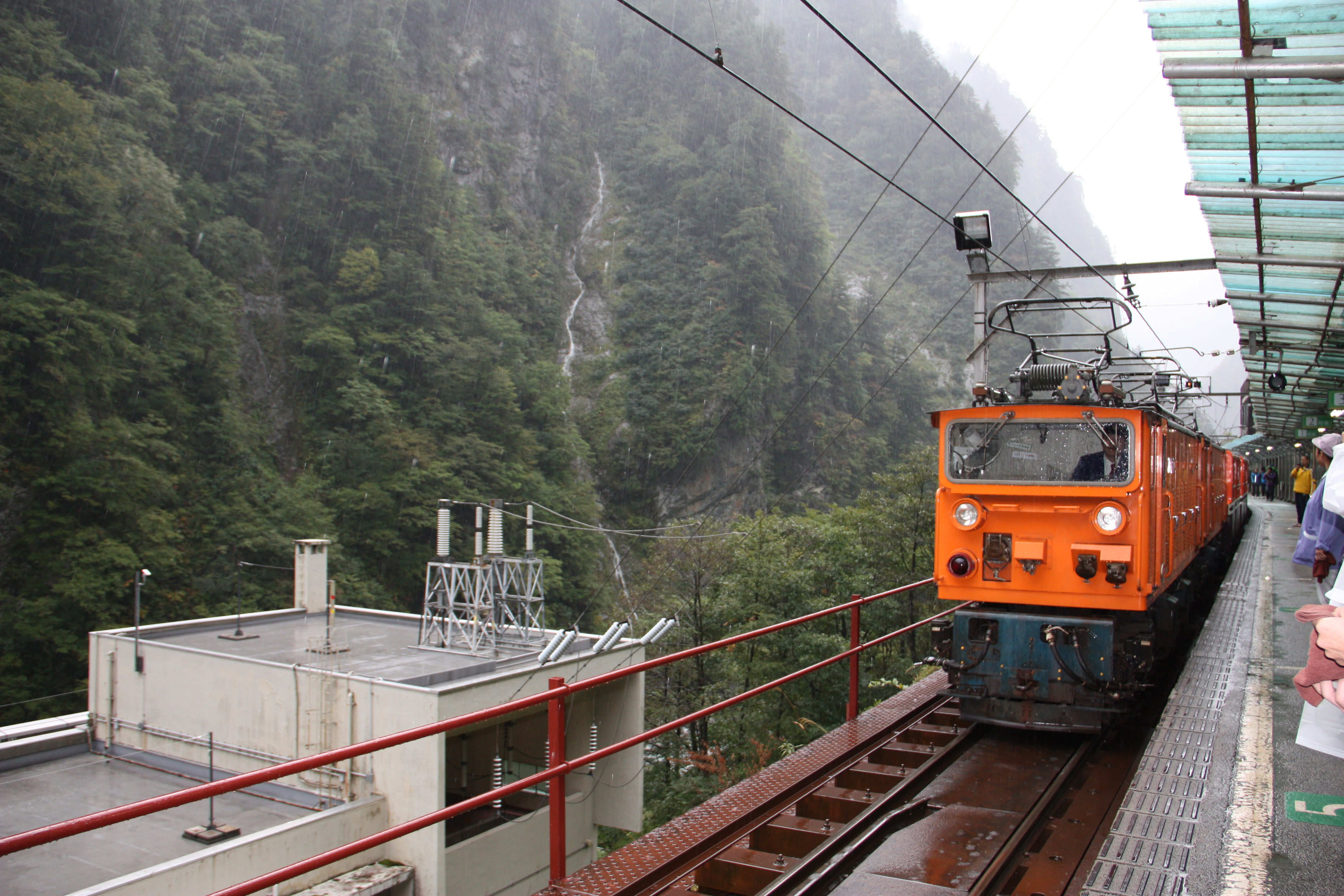
This route is set as one night and two days from Mt. Karamatsu-dake, however, if you are an experienced hiker, you can descend to Keyaki-daira within a day. The last trail of the Kurobe Gorge Railway from Keyaki-daira to Unazuki Onsen departs at 16:43 (As of 2019), therefore you have to depart Karamatsu-dake-choko-sanso Mountain hut before 6:00 to get to Unazuki Onsen within the day. It is a long course even for experienced hikers and it is recommended that you descend to Keyaki-daira with no rush.
From Karamatsu-dake-chojo-sanso Mountain Hut, descend on the slope as you cross a camping site. The descending trail is very steep from here to the Daikoku copper mine ruins. An estimate of time for descending is about two hours. An estimate of time for ascending from the Daikoku copper mine ruins to the summit of Mt. Karamatsu dake on the other hand, is about three hours. You can imagine how steep the trail is if you compare the descending and ascending times. The trail is mainly a gravel road. Chains are prepared here and there so use them wisely. You have to be careful especially when snow still remains. When you pass that zone, the trail enters into a forest zone. The gravel road changes and the trail descends in a zigzag pattern. This slope is named “Baka-kudari”. When you pass there, the trail turns into a boardwalk. The trail comes to a junction where it meets with the trail to the left. A place to replenish your water supply is available if you go on the trail. It’s about 20 minutes for a round trip. It is recommended that you leave your backpack at the junction and go fill your water bottles.
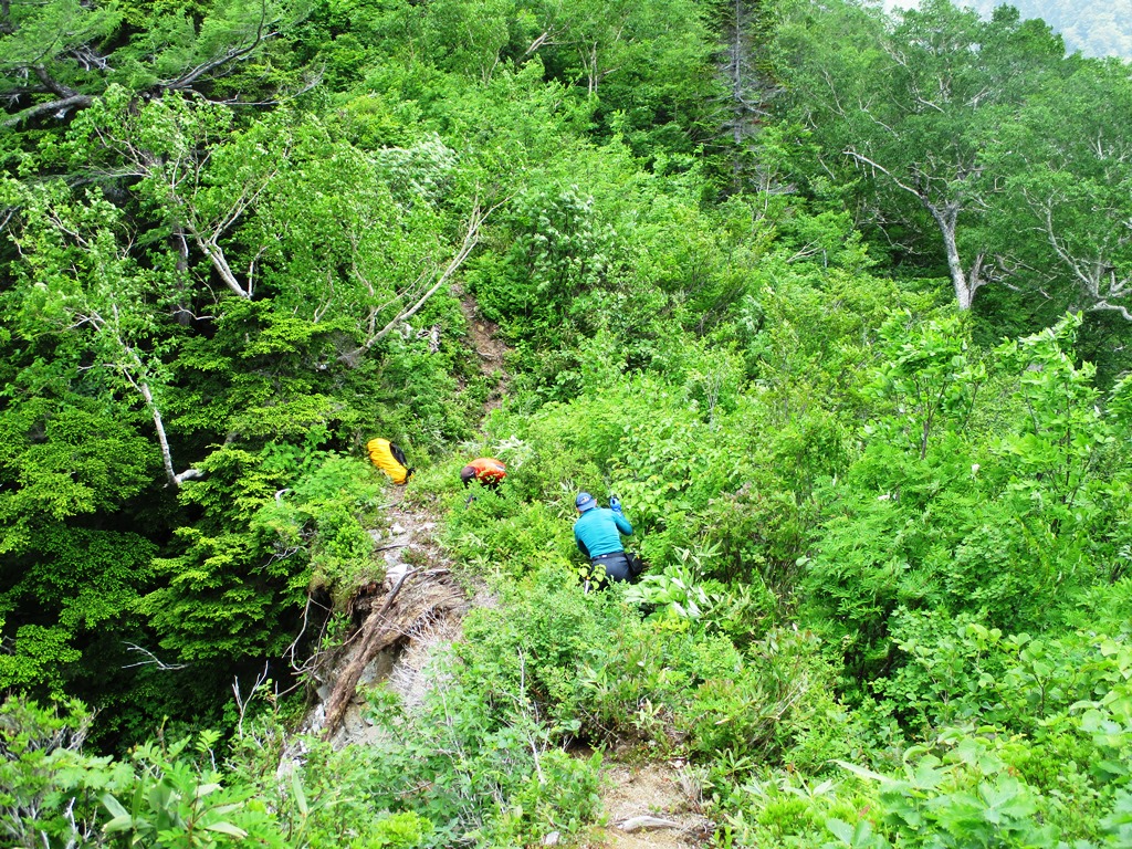
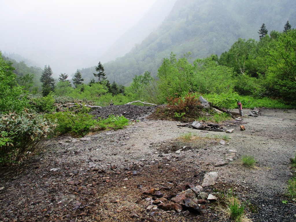
After passing the junction, the Daikoku copper mine ruins will be reached. These are the ruins of where copper was mined from the side of Goryu in Gaki-dani valley and was refined towards the end of the Meiji era. Rocks from the era still remain. Refined copper was attached to the back of cows and carried down via Happo O’ne or Nihon-matsu O’ne. From the ruins, you will ascend a narrow ridgeline. It is a steep slope, so try to maintain a steady pace. Along the trail, there will be places where ropes or ladders are set. Those should not be hard places to pass by.
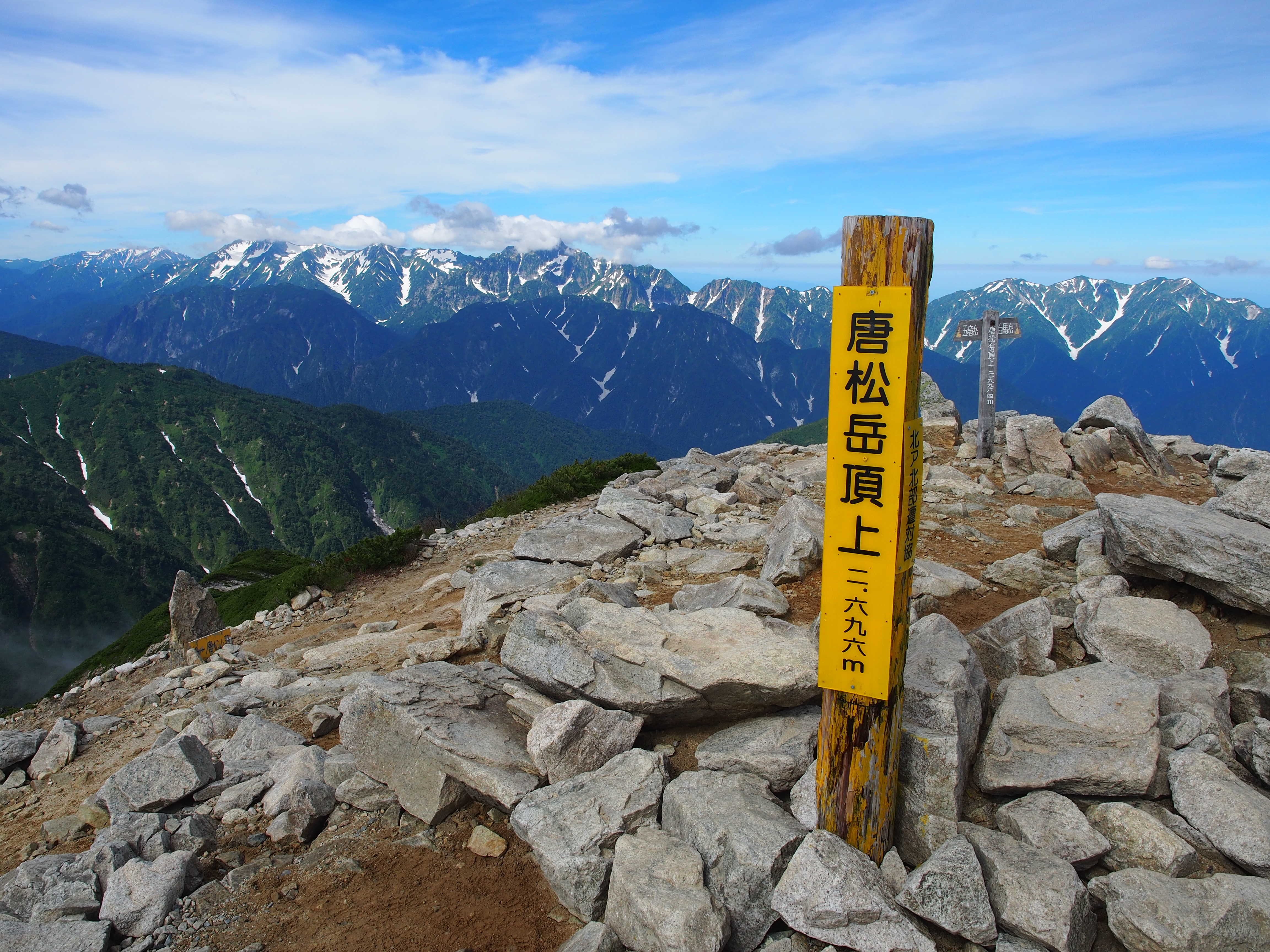
Mt. Gaki-yama is surrounded by shrubs. However, you may see Mt. Kashima-yari-gatake, Mt. Karamatsu-dake, Mt. Shirouma-dake, or Mt. Goryu-dake. Take a short time to enjoy the view.
From Mt. Gaki-yama, you will continue hiking on a narrow ridgeline. However, the trail starts to descend from here. After passing unstable areas along the trail and entering into a coniferous forest, Gaki-yama emgergency shelter will be reached. It will now be the latest time for you to judge whether you will stay here or descend 3 hours and 30 minutes and stay at Babadani Onsen hot spring. Do not rush yourself. If you reach the emergency shelter past noon, it is recommended that you stay here for the night.
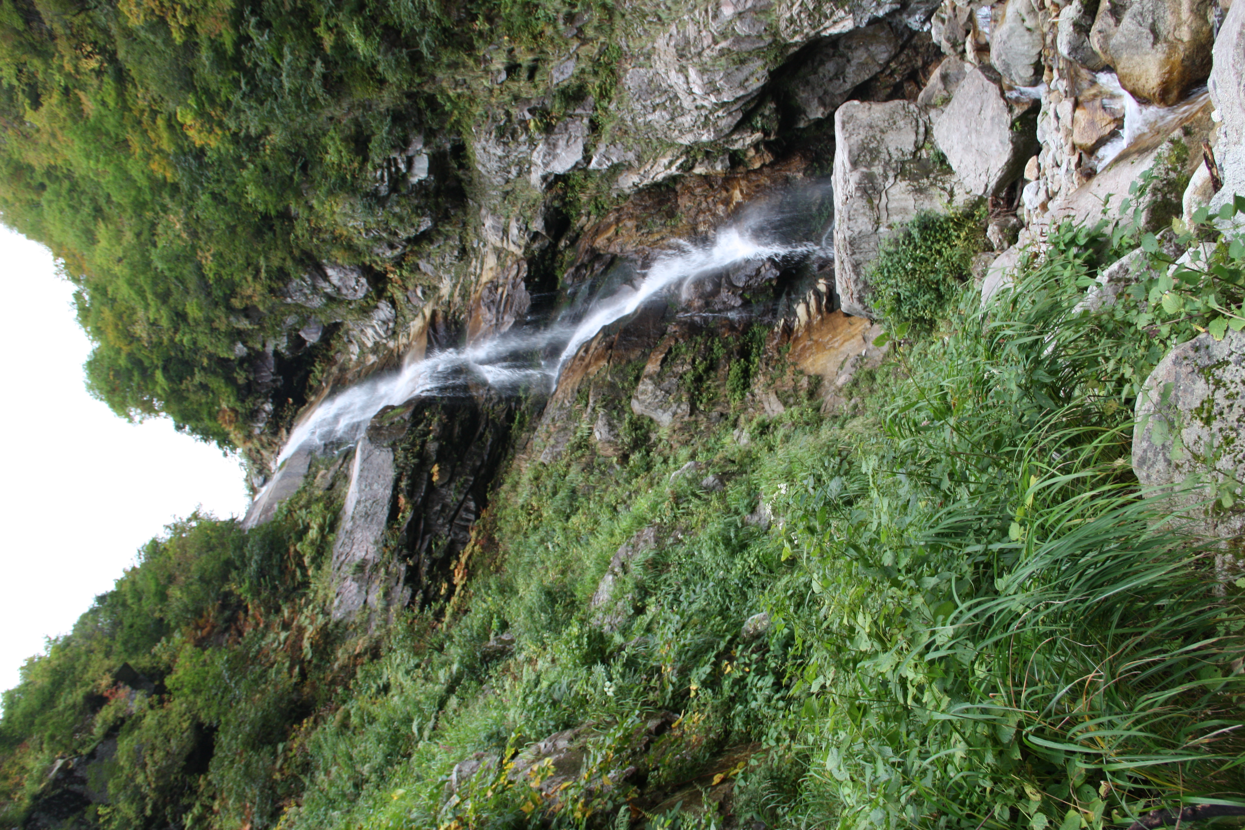
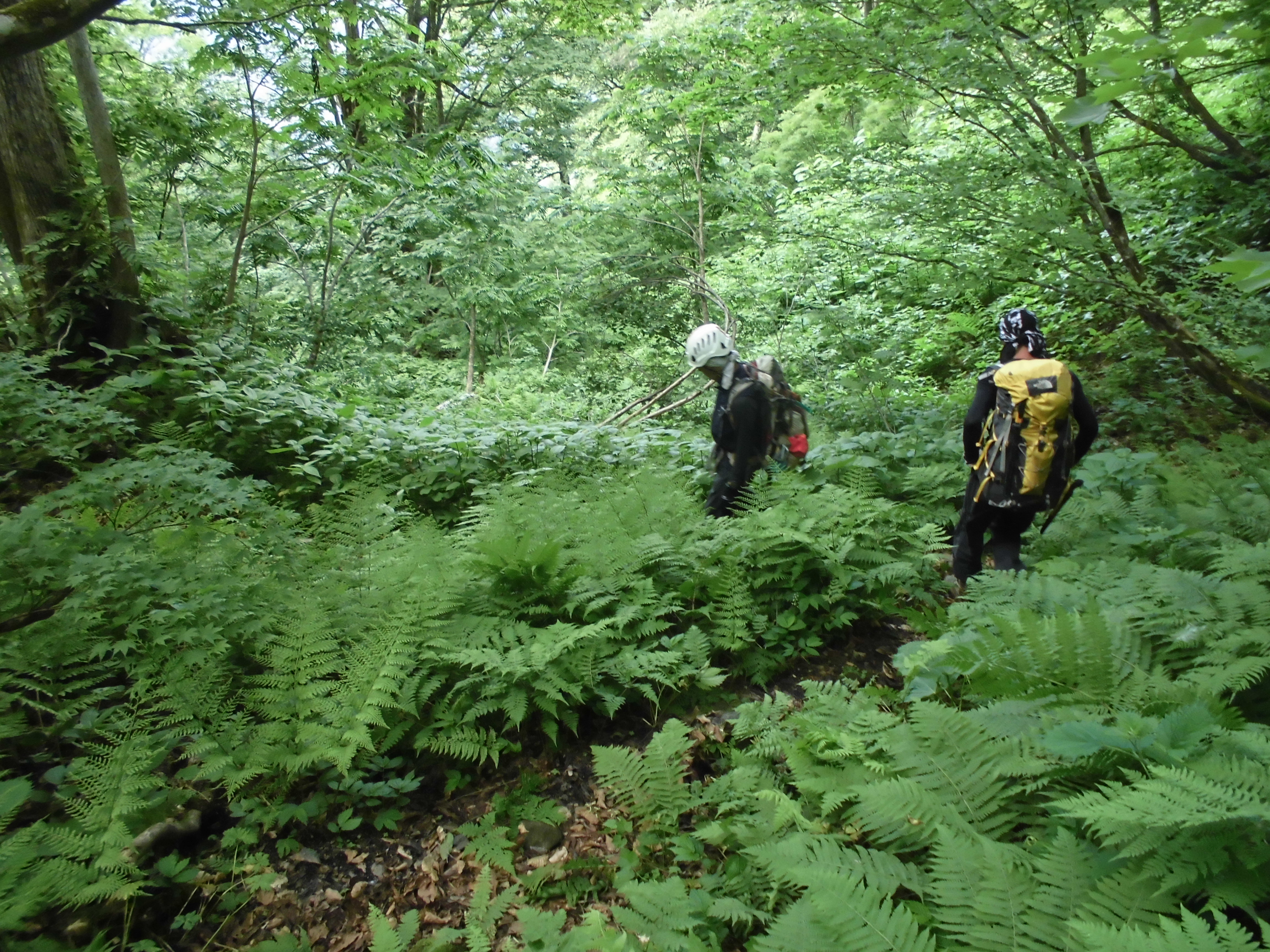
From Gaki-yama emergency shelter, the trail becomes a gradual slope. You will come to Gaki-no-tanbo, where an impressive big tree of Tsuga diversifolia stands. It is a swamp area with no broadwalk set so make sure that you remain on the trail. After passing the Beech forest, Nangoshi pass will be reached. Use ropes to guide your descent. It is not a dangerous zone, but you can tell that the trail is off the ridgeline. It is a slippery trail so caution must be exercised. Enter into the trail in a zigzag pattern, called “Sijyu-hachi-magari”. There will be signs for a place to replenish your water supply, however, many places get dried up. When the trail turns into a logging road along the stream, Babadani Onsen hot spring will be reached.
From Babadani Onsen hot spring to Keyaki-daira station of the Kurobe Gorge Railway, it takes about 40 minutes. It is a gradual downhill on the logging road.
