Karasawa Route
Kamikochi ~ Yokoo ~ Karasawa ~ Mt. Oku-hotaka-dake ~ Mt. Mae-hotaka-dake ~ Mt. Oku-hotaka-dake ~ Karasawa ~ Yokoo ~ Kamikochi
Technical level: C
Physical strength level: 8
Difficulty level: ⛰️⛰️⛰️⛰️
A course recommended for the first time to visit Mt. Oku-hotaka-dake.
Use caution on the Seitengrat and when ascending and descending to Hotaka-dake-sansou.
●Hiking data
Schedule: Two night and three days
Walking time: 21 hours and 50 minutes
Walking distance: 38.7 km
Difference in elevation: 2,894 m
Tokusawa
Elevation 1,562m
↓ 1 hour 10 minutes
Yokoo

Elevation 1,620m
↓ 3 hours
Karasawa

Elevation 2,309m
↓ 2 hours 50 minutes
Hotaka-dake-sansou

Elevation 2,983m
↓ 50 minutes
Mt. Oku-hotaka-dake
Elevation 3,190m
↓ 2 hours 40 minutes
Karasawa
Elevation 2,309m
↓ 5 hours 10 minutes
Kamikochi
Elevation 1,505m
Route Guide
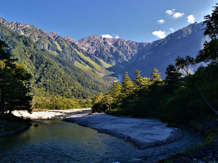
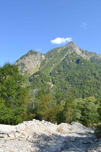
From Kamikochi bus terminal, head out to Kappa bridge. On sunny days, Mt. Okuhotaka-dake can be seen on the way. Walk by the Konashi-daira camping site then continue onto the left side of the Azusa river.
The trail up to Tokusawa is a well maintained promenade. Most sightseeing visitors return to Kamikochi when reaching Tokusawa. Getting closer to Yokoo, a gigantic cluster of rocks appears on your left ahead of the trail. The cluster is Byoubu-iwa, the biggest rocky area in Japan.
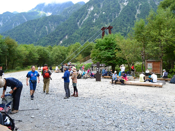
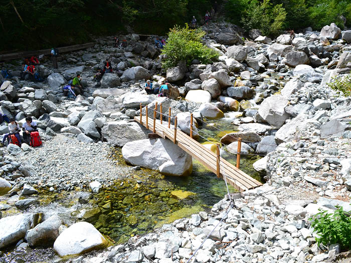
The path separates into two at Yokoo. One trail that goes straight is a trail to Mt. Yari-gatake through Yarisawa. Another trail going to the left leads to Yokoo bridge, at which the trail to Karasawa starts. Proceed on the trail to Hontani bridge for about one hour. Taking a short break at the bridge is recommended, however, the water here is not safe to drink.
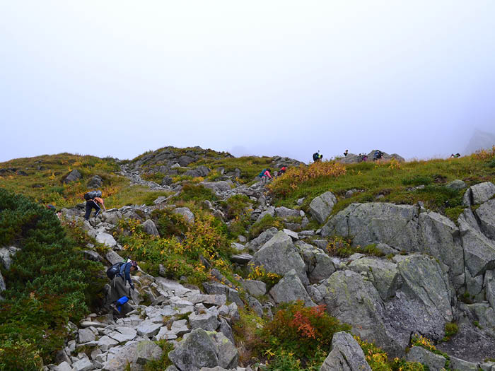
Rugged climbing starts from this point. The steep climb might make your body more aware of the heavy weight of your backpack. Climb up at a steady pace. Hiking at a steady pace does not wear you out significantly, reduceing the need to take breaks often. The number of walking hours from Hontani bridge to Karasawa is about 2. It is ideal to walk at a pace such that you will need a 5 minutes break every hour.
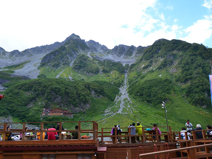
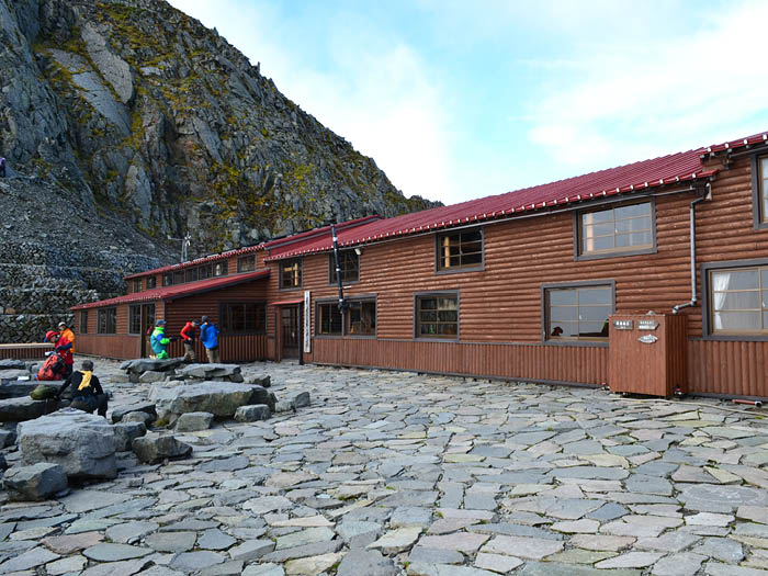
Karasawa is a basin/depression/ in the mountains and is suitable as a camping site. Neary 500 tents will fit in the basin. There is a Karasawa hut and Karasawa lodge located in the basin. Many hikers visit and stay at these cabins every season. In this course guide, a two-nights stay in Karasawa is recommended.
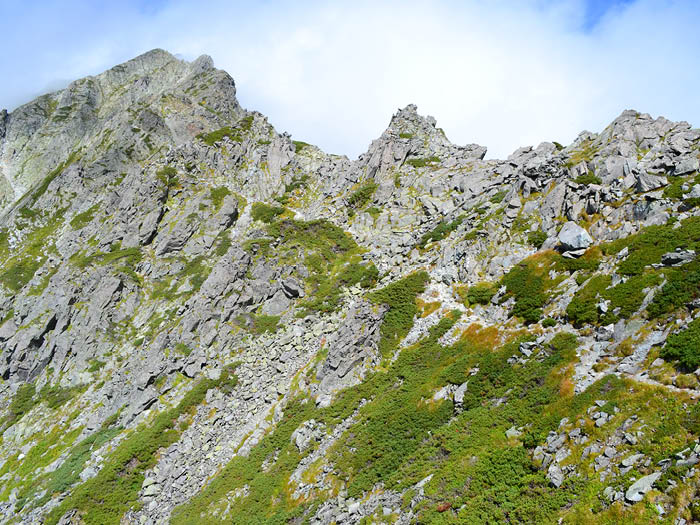
Start early on Day 2. Start hiking through Seitengrat to Shiradashi saddle, where Hotaka-dake sansou stands. It is a steep hill so make sure that you walk at a steady pace to avoid over exhaustion. When looking down to Karasawa from Hotaka-dake sansou, the colorful tents will look like small flowers in bloom.
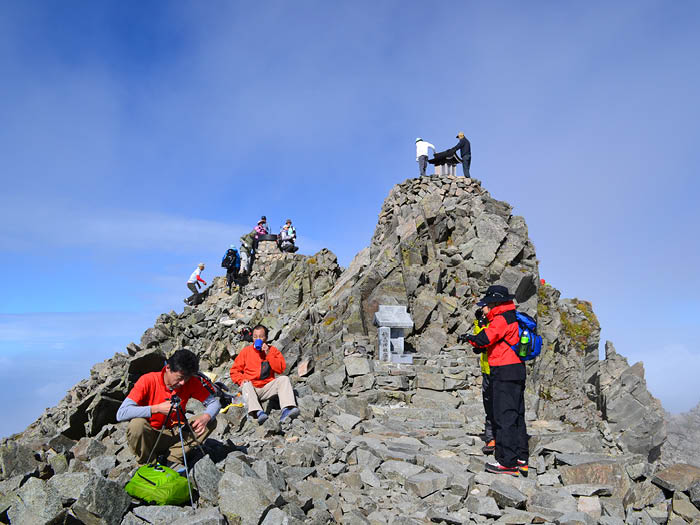
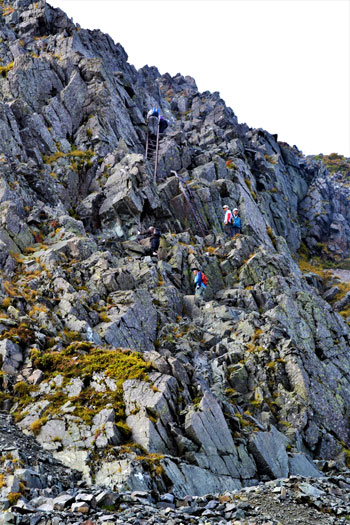
Continue onto the gigantic rocky zone by the Hotaka-dake sansou using ladders and chains. The summit of Mt. Oku-hotaka-dake will be reached in a short time. At the summit, a big cairn and a small shrine stand. The view is spectacular from here. Tsuri-o’ne, a ridgeline which hangs between two peaks like a suspension bridge (Tsuri-bridge), begins from the summit at a height of 3,000m. The view from this ridgeline is beyond words. However, the clear view all the way down to Kamikochi on a sunny day might scare some people. It is a narrow path with many ups and downs. It also requires the use of chains along the path, so caution needs to be employed.
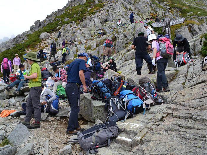
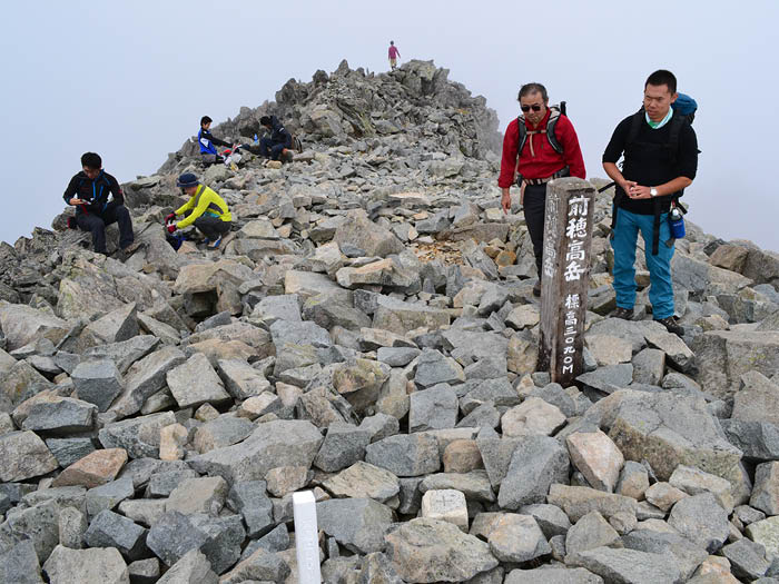
You will arrive at Kimikodaira where many hikers might be resting. Leave your backpack here and continue onto the rocky zone for another half an hour. The path is stable. The top of Mt. Mae-hotaka-dake is reached at the end of the uphill. The summit is spacious with a great wide view. From the summit, take the ascending trail back down to Karasawa. It will take about 5 hours. If your schedule is tight, it is recommended that you stay at Hotaka-dake sansou.
