Lake Kurobe Route
Harinoki Pass ~ Funakubo-dake junction ~ Minami-sawa-deai ~ Tairano-watashi ~ Tairano-koya Mountain Hut ~ Kurobe Lake Station
Technical level: D
Physical strength: 5
Difficulty ★★★
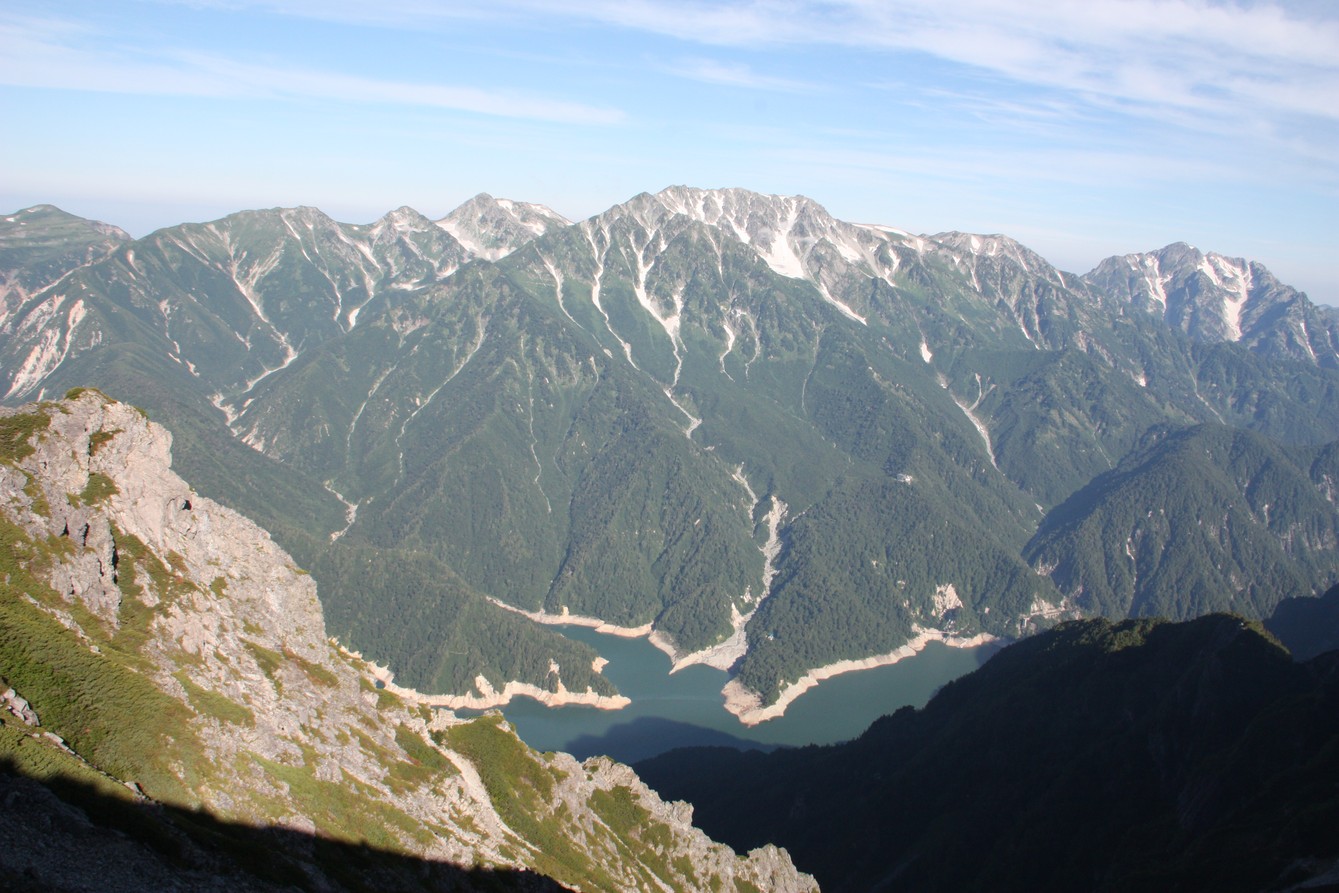
Take a ferry across Kurobe lake and hike north along the lakeside
Munehiro Matsuzawa, the master of Funakubo-koya Mountain Hut and volunteers fixed the old and damaged route from Harinoki Pass to Harinoki valley. They love the mountains in Mt. Tateyama. To be sure to optimize their great efforts, an abundance of caution must be exercised to avoid injuries when hiking on this route.
●Hiking Data
Schedule: Two nights and three days (From Ougi-sawa)
Walking hours: 18 hours and 15 minutes (From Ougi-sawa)
Walking distance: 14.9 km (From Ougi-sawa)
Difference in cumulative elevation: 1,792.2m (From Ougi-sawa)
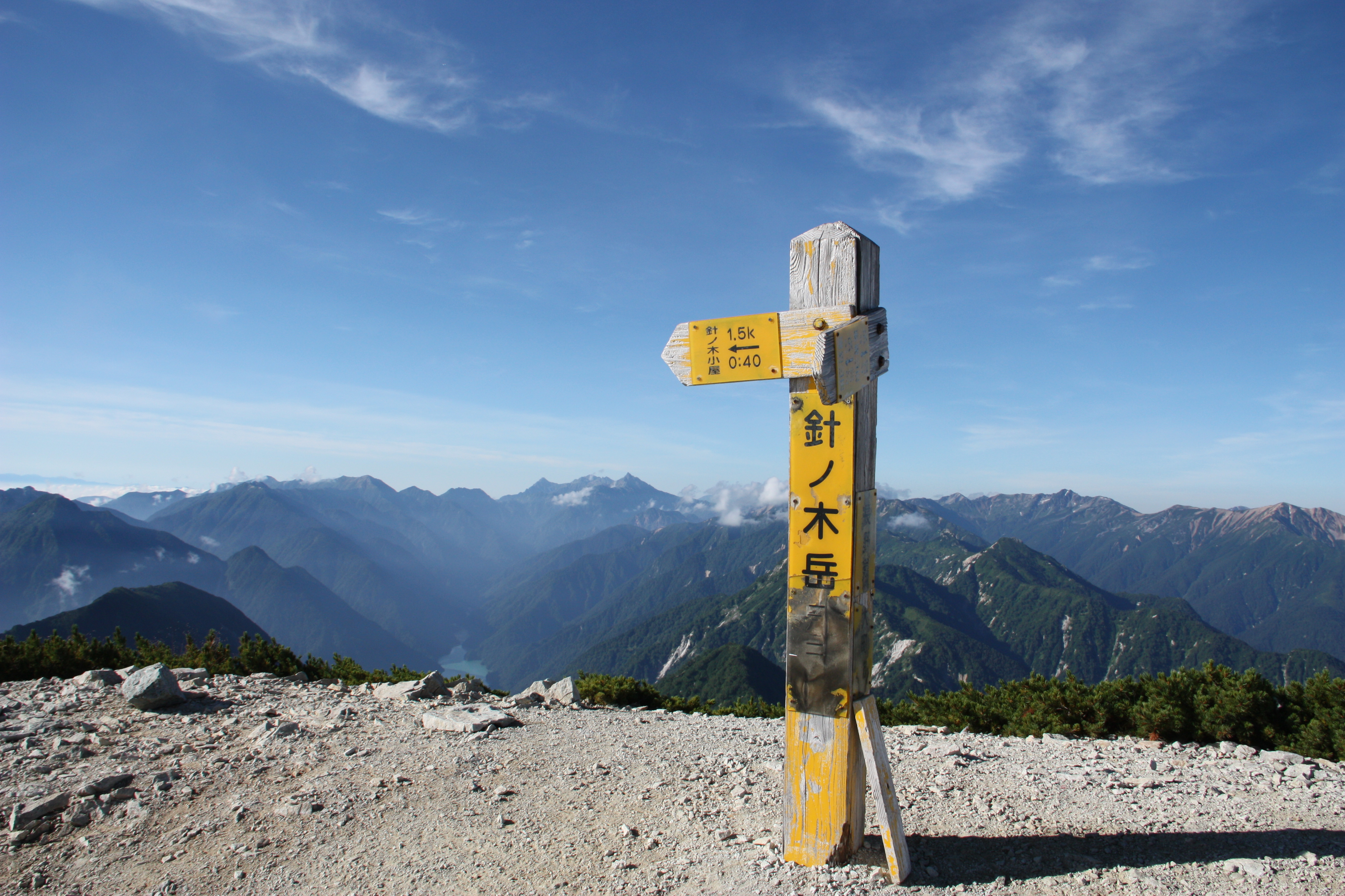
Harinoki Pass
Elevation 2,540m
↓ 2 hours 30 minutes
Funakubo-dake Junction
Elevation 2,032m
↓ 3 hours
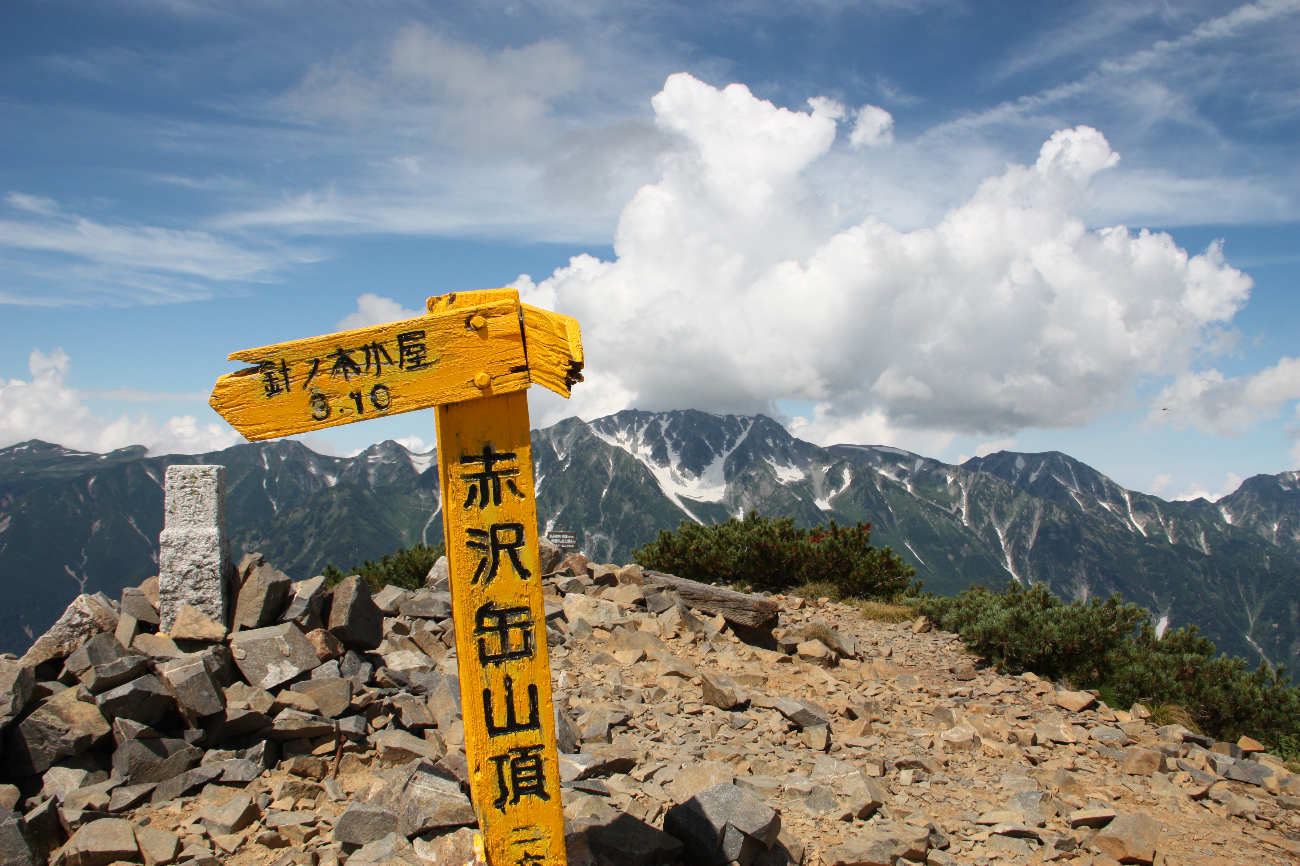
Minami-sawa-deai
Elevation 1,480m
↓ 1 hour 30 minutes
Taira-no-watashiba
Elevation 1,450m
↓ Ferry 5 minutes
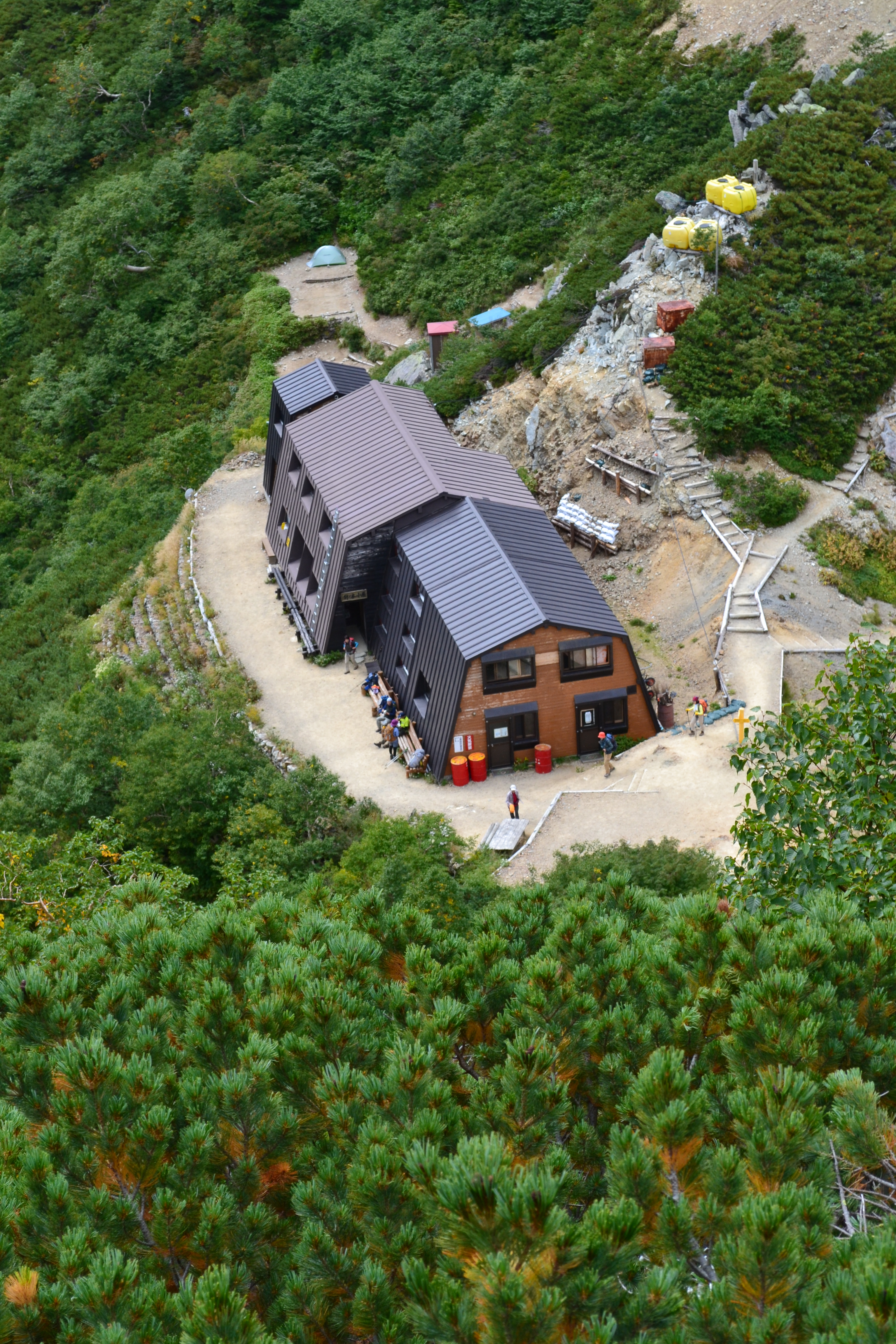
Taira-no-koya Mountain Hut
Elevation 1,469m
↓ 4 hours 10 minutes
Lodge Kuroyon
Elevation 1,500m
↓ 25 minutes
Kurobe Lake Station
Elevation 1,450m


Route Guide
The descending route from Harinoki pass to Harinoki valley-deai is for advanced hikers. For that reason, it is not recommended for solo hikers. You must be fully prepared before departure.
From Harinoki pass, follow the road signs and start descending on the trail in a zigzag pattern. After passing the forest of Betula Birch, the slope becomes gradual but you must remain focused. Follow the old inked marks along the dried-up stream. When the trail becomes uphill, it goes from the right bank to the left bank and vice versa as you proceed. From that area, the water level becomes high. After passing outcrops, Harinoki-valley-deai will be reached. Harionki-kodo merges here. Caution must be exercised due to the high risk of getting lost. There are signs, pink marking tapes and inked signs to reduce the risk of getting lost.
Proceed along the right bank. After passing the starting point of Funakubo-dake junction, cross to the left bank. For a while, the trail crosses again towards the right bank. From here the trail goes off the stream. A road sign appears when you proceed on the rocky trail. Follow the sign. The trail goes around the middle of the mountain. Follow the inked marks and then Minami-sawa-deai will be reached.
From there, cross the bridge to the left bank. Follow the trail but remain focused. The trail goes around the ridgeline of Minami-sawa. Follow the road signs, then the ferry terminal will be reached. From here, take a ferry to the other side of the lake. The ferry runs from June 20th to October 30th. Ferries run 4 ~ 5 times a day. The first ferry starts around 6 am and the last one departs around 4 to 5:20 pm. The schedule varies from month to month during operating time. Make sure that you check the schedule on the internet, etc. If you cannot make it to Taira-no-koya Mountain Hut on that day, use the emergency shelter in front of the ferry terminal and ride the first ferry on the next morning.
The ferry takes about 5 minutes. Get off the ferry and go upstairs. The road separates. If you go straight, Taira-no-koya Mountain Hut will be reached. The right trail goes along the lake side of Kurobe Lake and leads to Lodge Kuroyon. The length is about 8 km. There are small ups and downs along the trail. Ladders are set to pass the collapsing sites or to walk along the valley. When the trail comes to the riverside, it will take about one hour to Lodge Kuroyon from there. From the lodge, the trail becomes a pavement. In about 25 minutes, the Kurobe lake station of the Kurobe Cable Car will be reached.