Cho-gatake – Kamikochi route / Cho-gatake – Nabekanmuriyama route
Kamikochi - Tokusawaen - 2,000m flat - Nabekabeyama - Cho-gatake - Cho-gatake Hutte - (Choyari) - Otakiyama - Hatchodarumi Nabewariyama - Tsumetazawa - Misato Skyline Observation deck parking lot
Technical level: B
Physical strength level: 4
Difficulty level: ★★★
Enjoy the great view of Yarigaho in two days and one night. There is a direct route down to Kamikouchi for the return trip, but here we will take a quiet forest trail from Mt. To reach the trailhead at Tsumenzawa-guchi, you can take a private car or a cab.
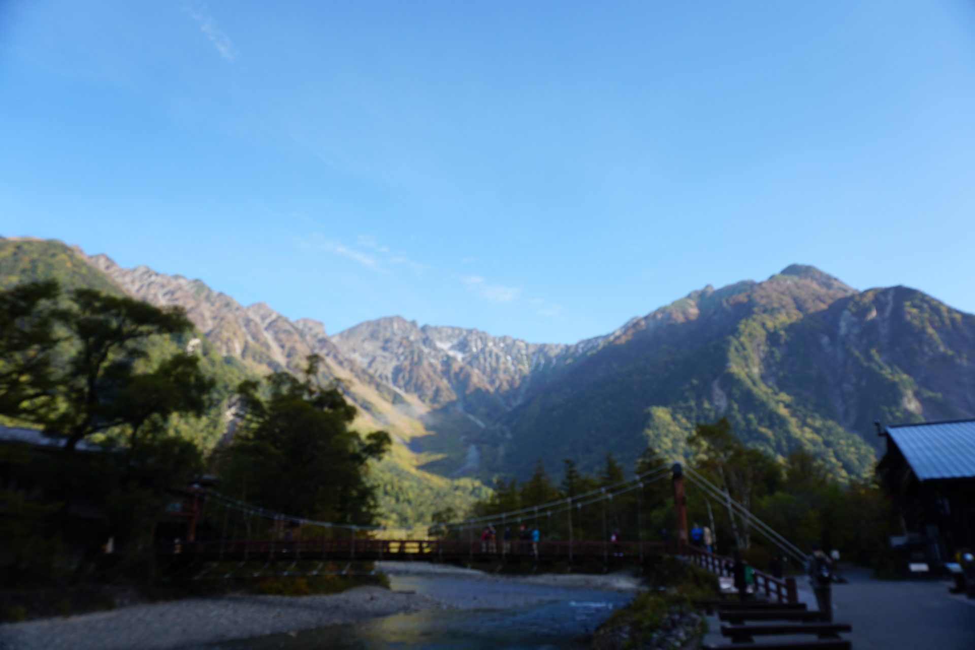
Access to Kamikochi
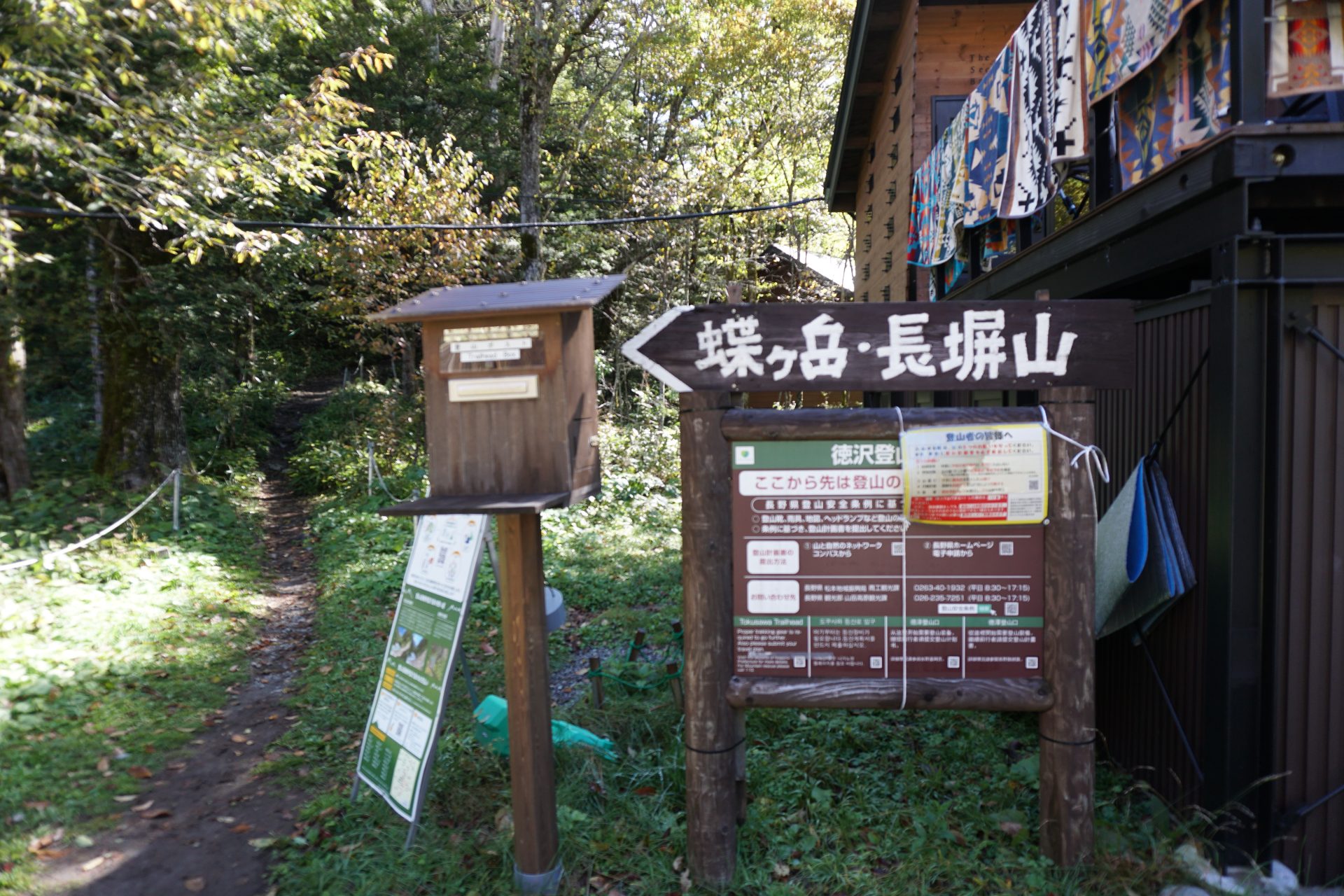
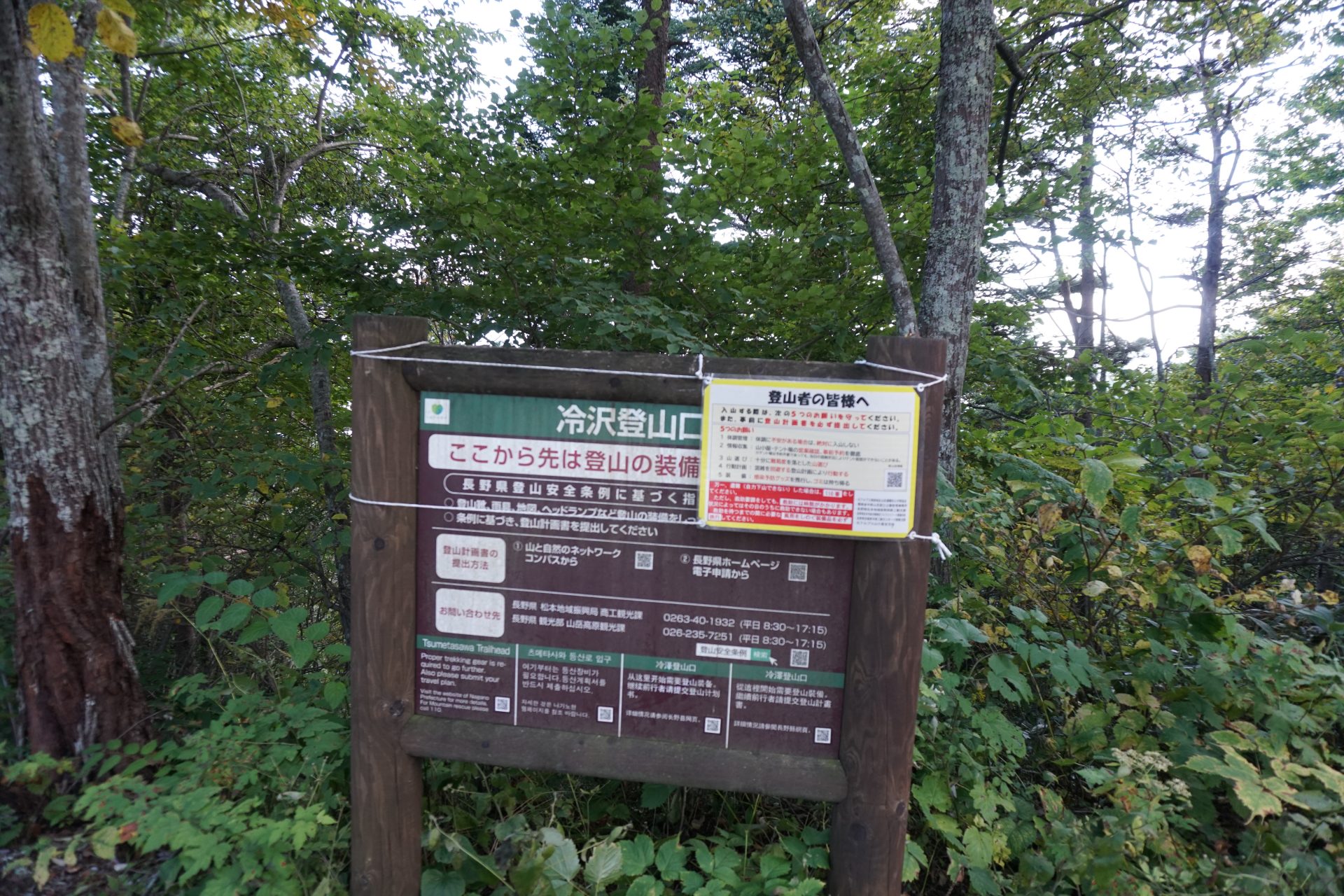
冷沢登山口へのアクセス
●Hiking Data
Schedule: 1 night and 2 days
Walking hours: 13 hours 10 minutes (ascent: 6 hours 40 minutes, descent: 6 hours 30 minutes Butterfly spear: round trip + 1 hour 20 minutes)
Walking distance: 25.8 km
Difference in elevation: 1,760 m / Downward Cumulative elevation -1,884 m
Kamikochi

Elevation 1,500m
↓ 2 hours
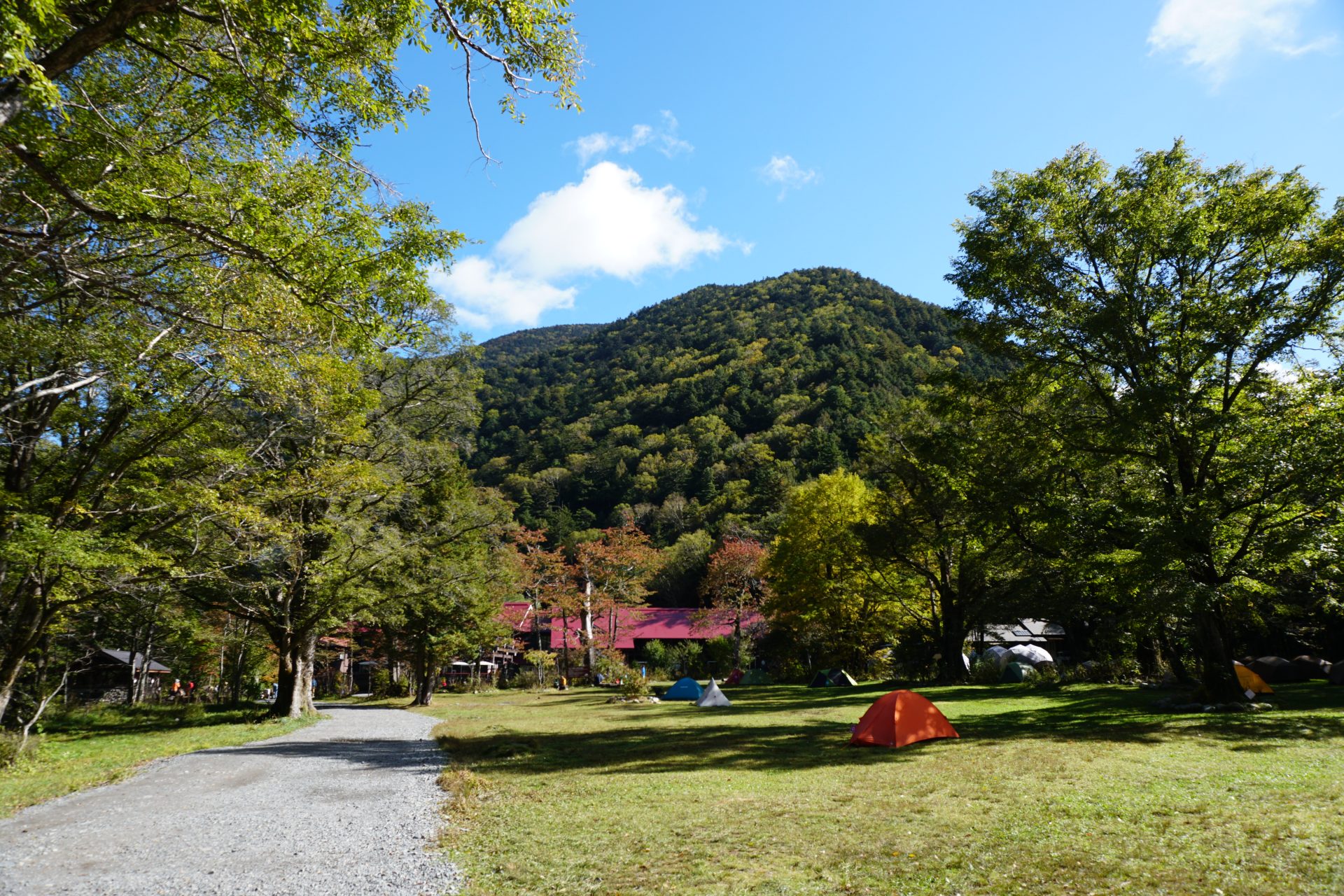
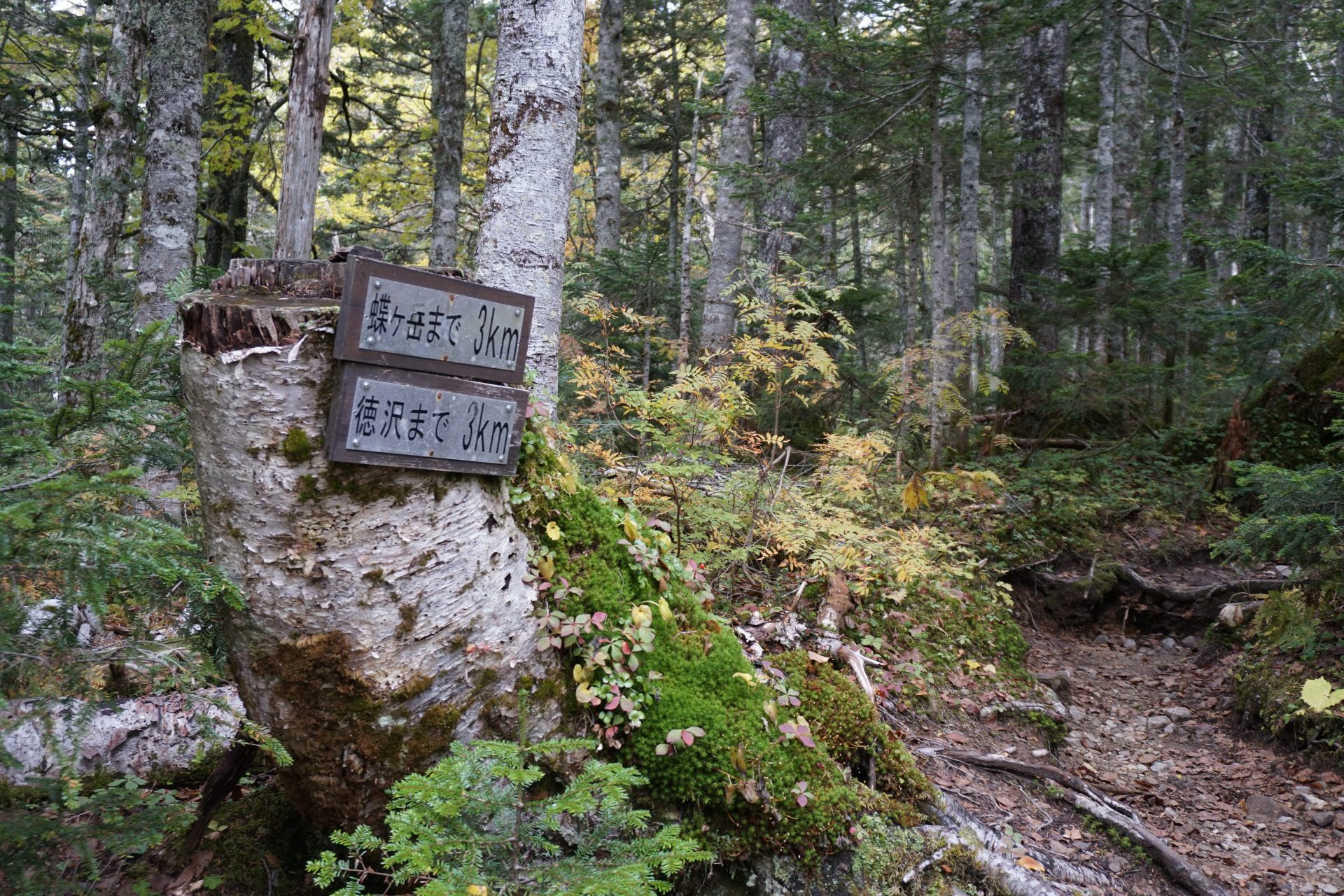
Tokusawaen
Elevation 1,562m
↓ 1 hour 40 minutes
2,000m flat
Elevation 2,000m
↓ 1 hour
Middle point
Elevation 2,360m
↓ 1 hour
Nagakabeyama
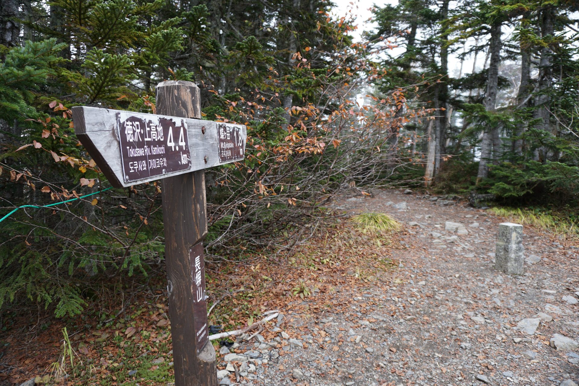
Elevation 2,565m
↓ 1 hour
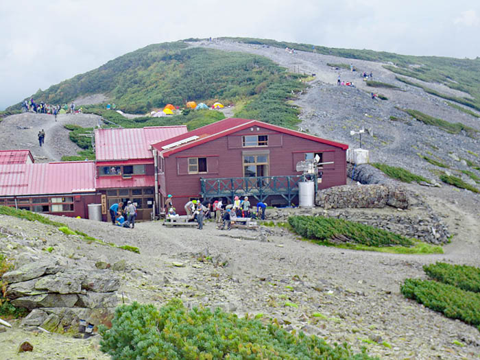
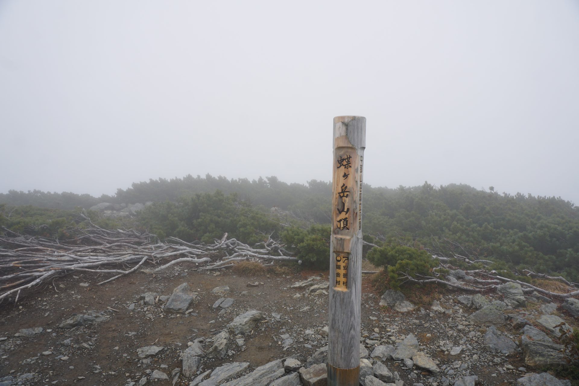
Cho-gatake / Cho-gatake hutte
Elevation 2,677m
↓ 50 minutes
Chouyari
Elevation 2,665m
↓ 2 hours 20 minutes
Mt. Otaki
Elevation 2,614m
↓ 1hour 30minutes
Hatchodarumi
Elevation 2,112m
↓ 1hour 30 minutes
Nabewariyama
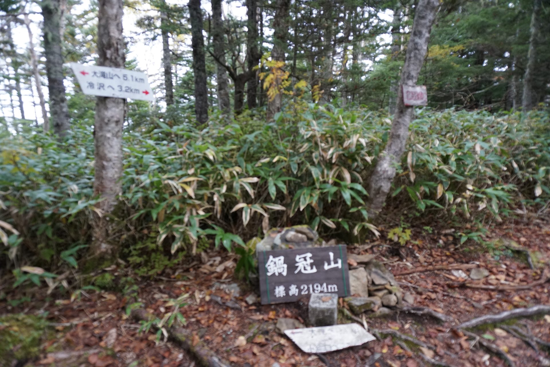
Elevation 2,194m
↓ 1hour
Tsumetazawa trailhead
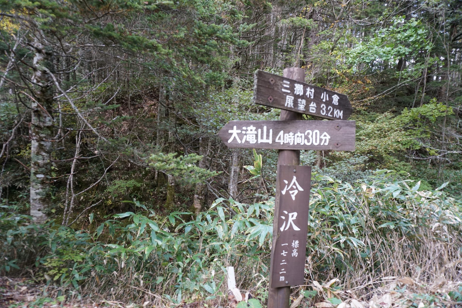
Elevation 1,722m
↓ 1hour
Misato Skyline Observatory parking lot
Elevation 1,350m
Route Guide
You can start from Kamikochi, go to cho-gadake, and return to Kamikouchu, but from cho-gadake, go further to Otakiyama.
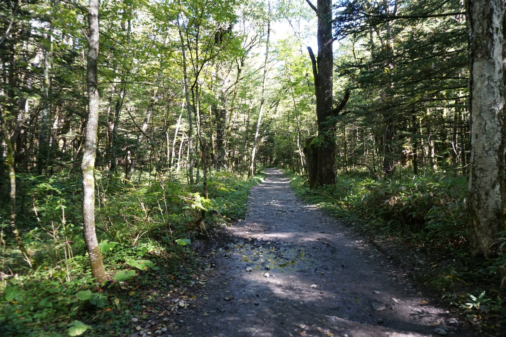
From Kamikochi, walk along the footpath on the right bank of the Azusa River, crossing Myojin and heading also to Yarihodaka, and continue along the route to Tokusawaen. This trail is mostly flat and takes about one and a half to two hours to reach Tokusawaen along a fresh trail through the woods.
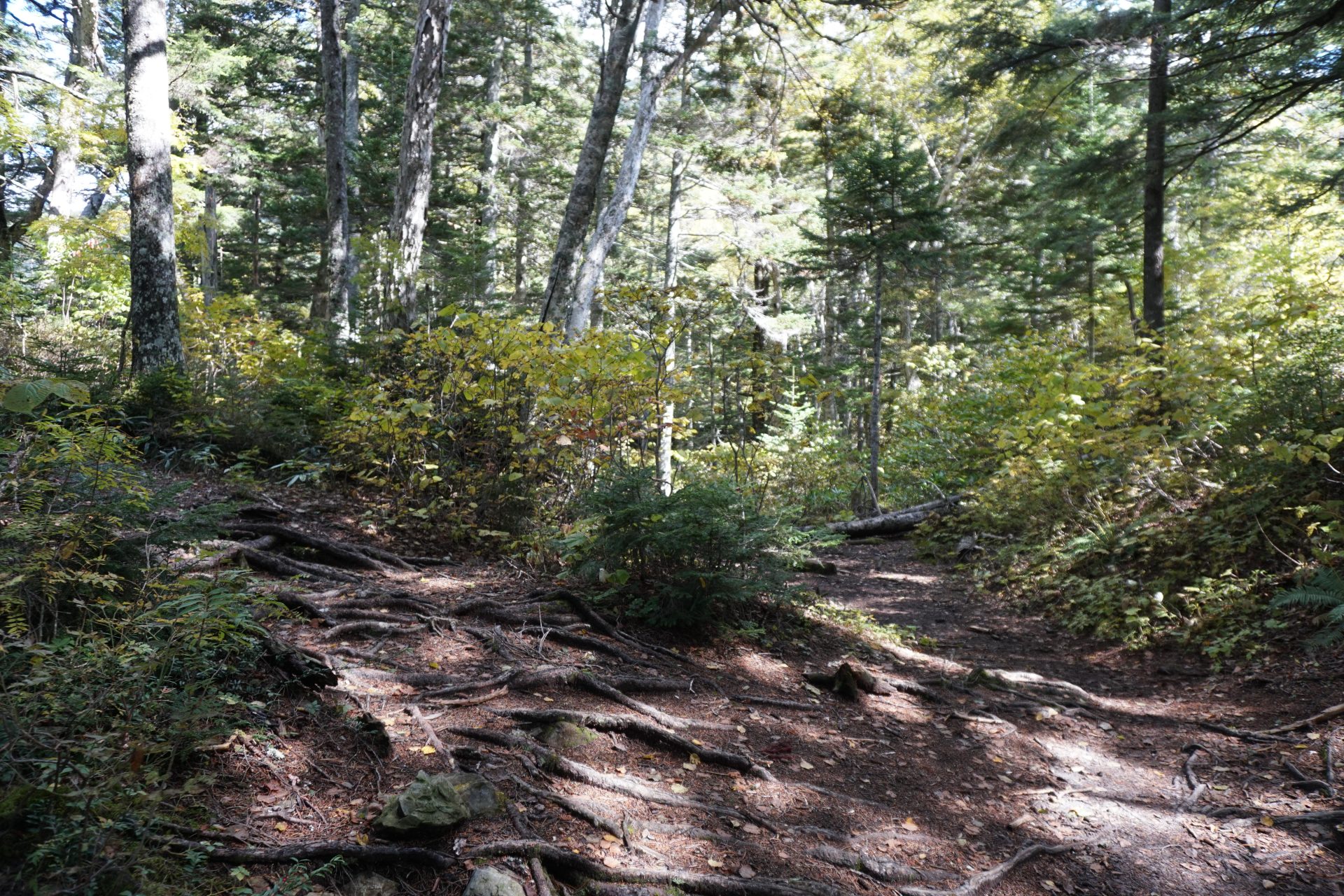
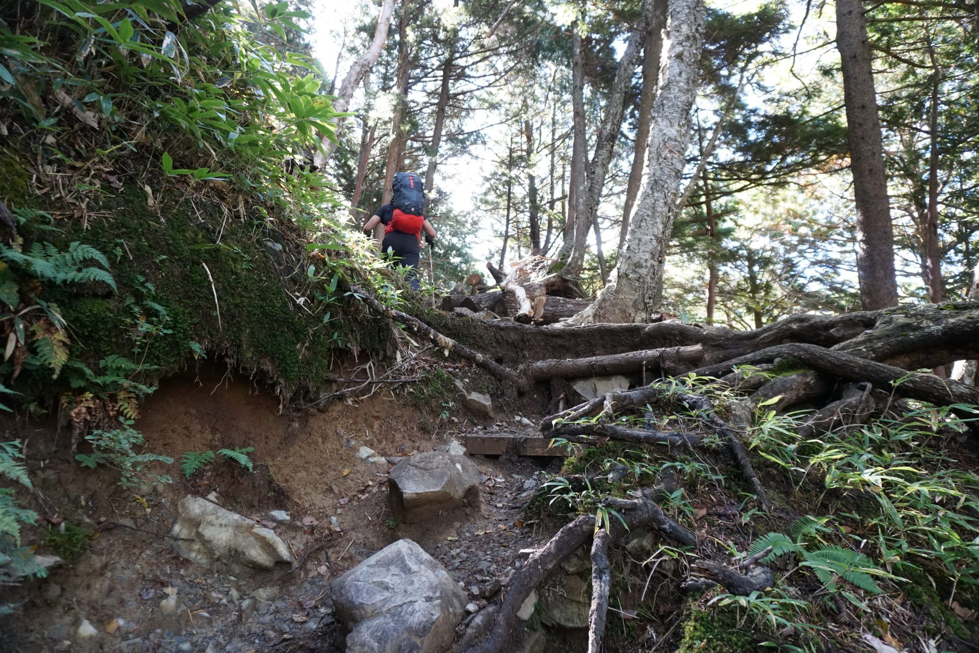
After crossing the campground, the trailhead is located at the back right of the lodging facility, where the real climbing begins. The steep climb up the Nabekabe ridge begins with a steep ascent typical of the Japanese Alps. After an hour and a half of walking, you will arrive at a wide open space. You will reach a flat area at an altitude of 2,000 meters. This is where we will take a rest. From here, the climb continues to get steeper and steeper. The second half of the climb will be relatively gentle, but the steady climb will take away your energy and you will not reach the summit of Nagakabeyama, the first goal you are aiming for. Take it easy and take frequent breaks to recover your strength. After 3.5 to 4 hours from the trailhead, you will finally reach the summit of Nagakabeyama. Unfortunately, there are no scenic views here either.
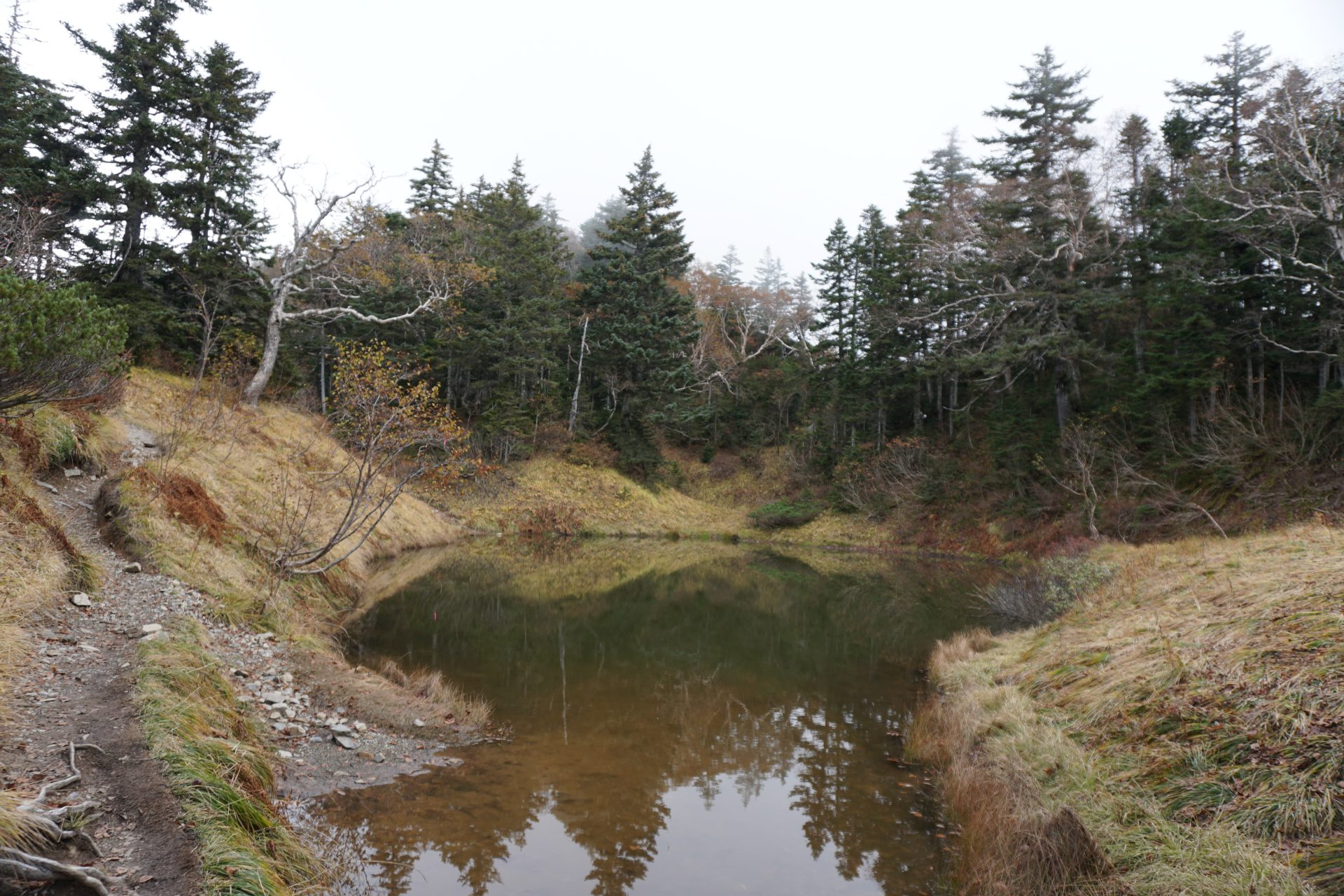
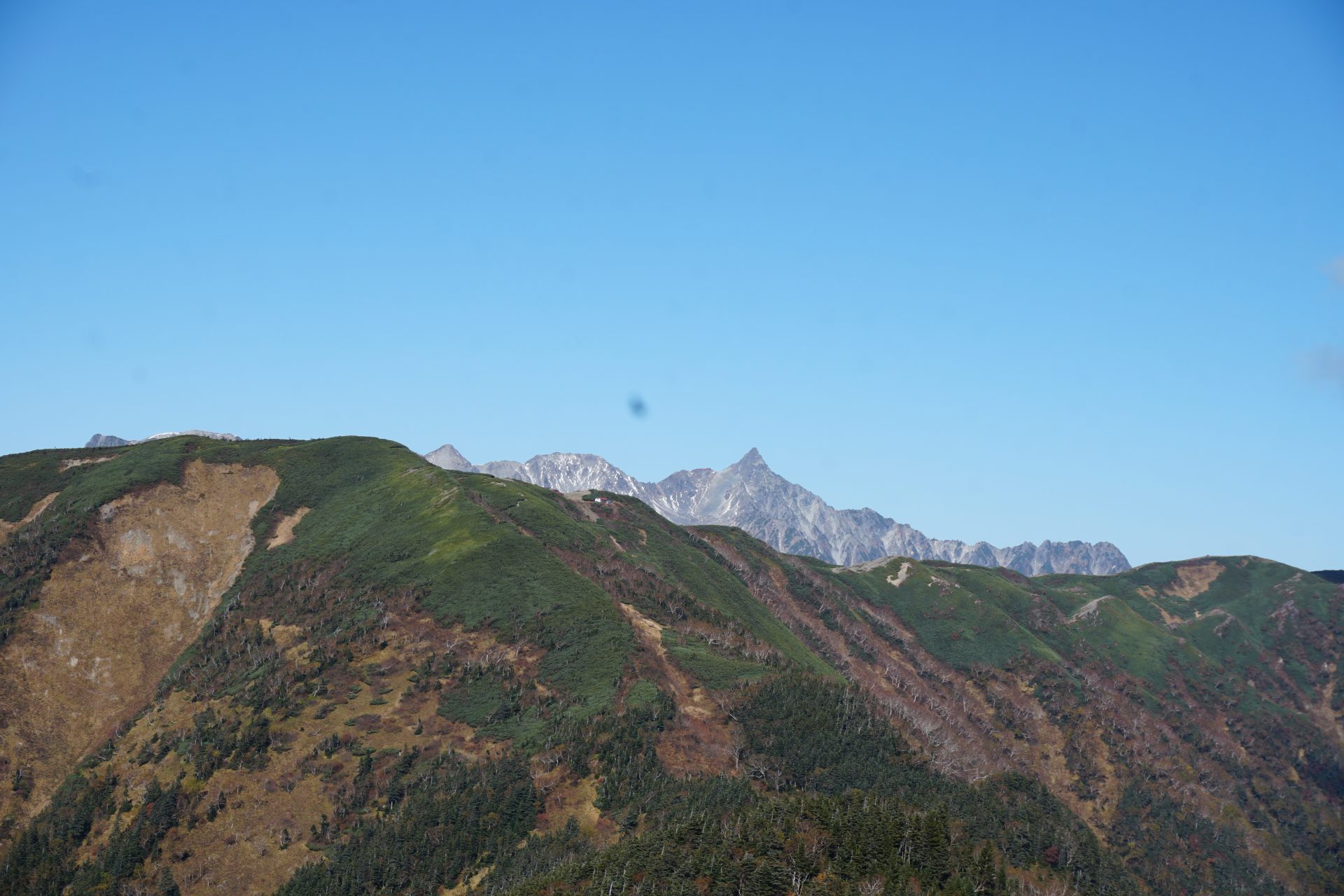
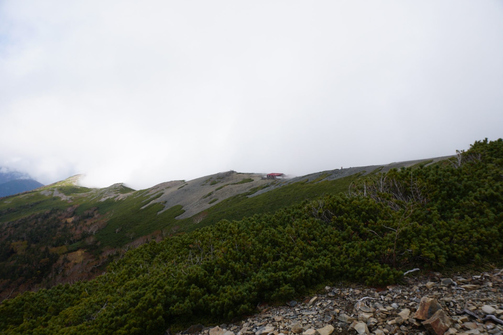
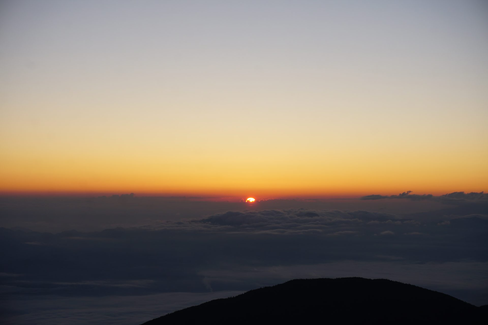
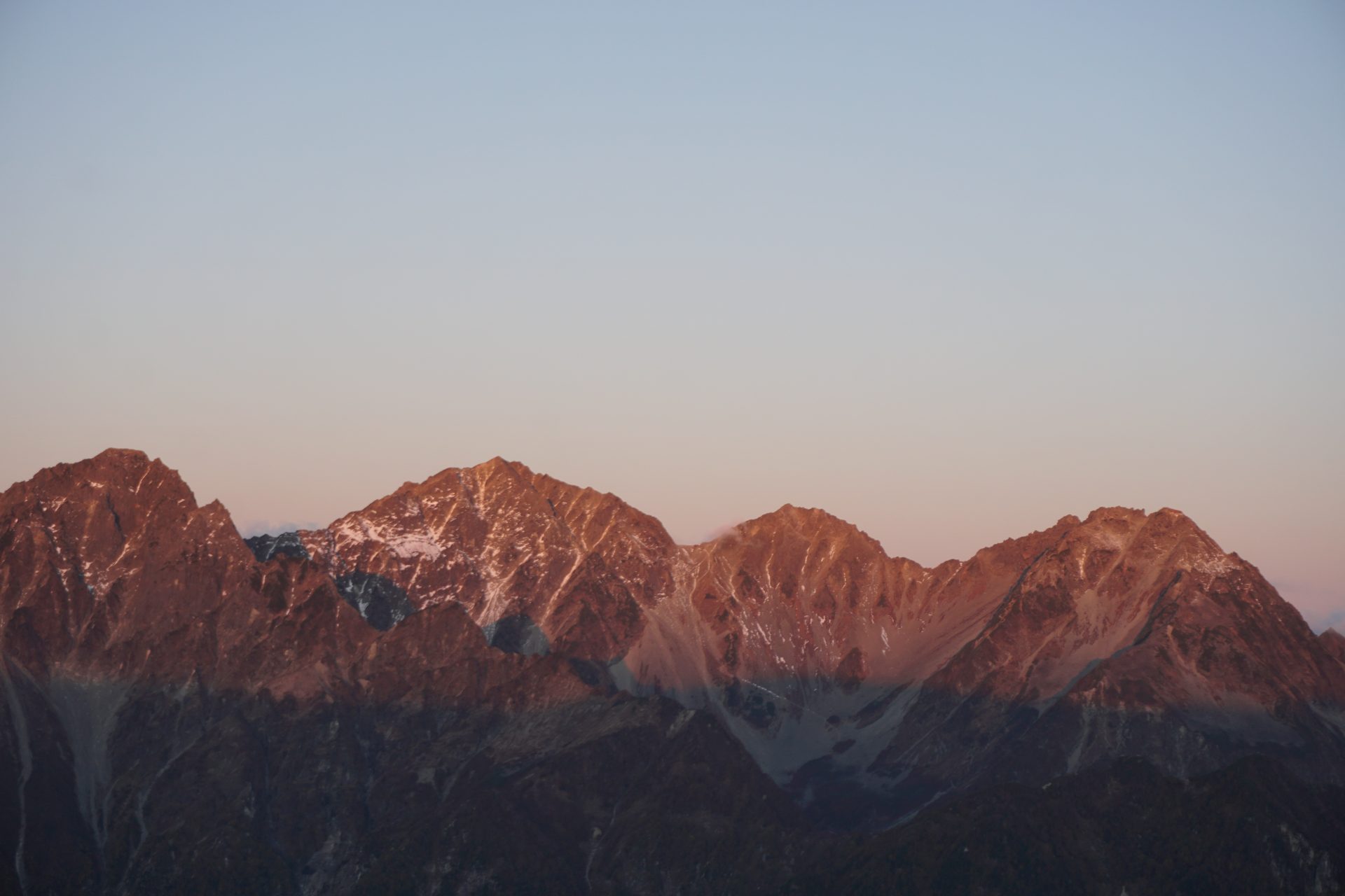
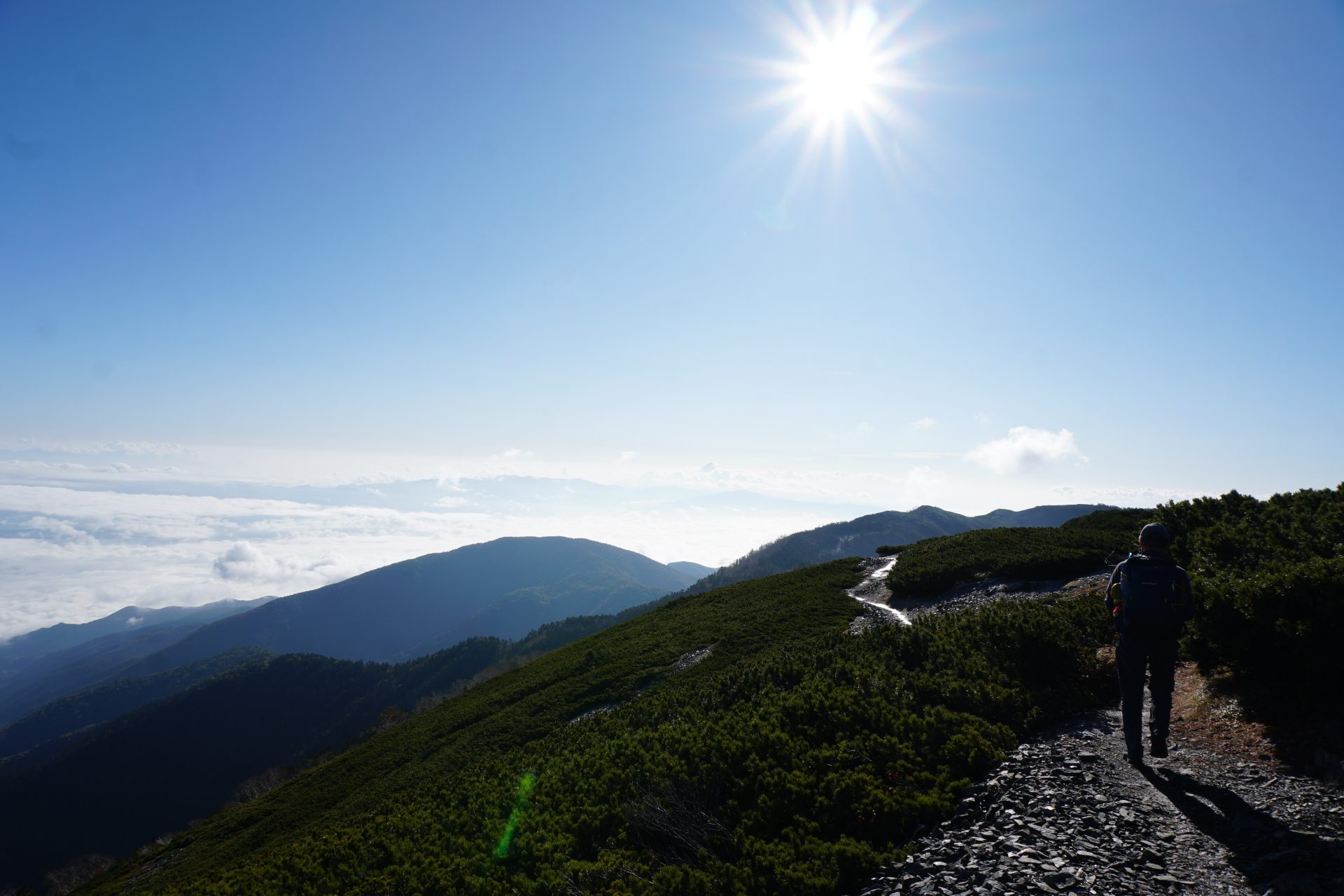
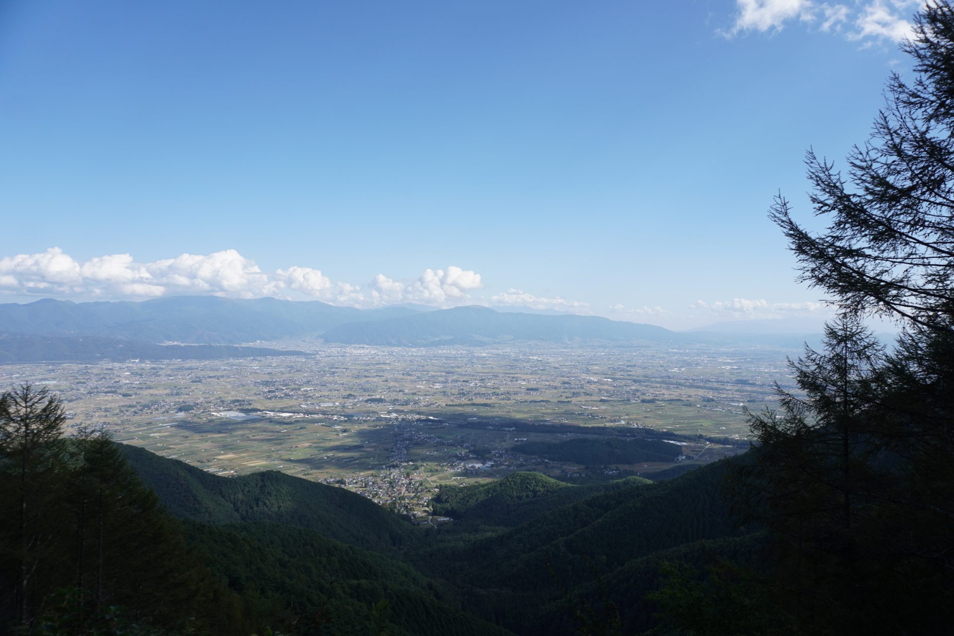
From this mountain, the route continues up and down through the marshy area. After crossing several ponds and a slightly larger pond called "Fairy Pond," we finally reach the forest limit and a clear view begins to open up. At the same time, you will be able to see the majestic sight of the Hotaka mountain range across the valley on your left. The red building of the Cho-gatake Hutte can also be seen, and the last of our strength begins to surge forth. After 5 hours from the Tokusawaen trailhead, we finally reach the summit of Cho-gatake. The summit is just above the hutte, but we will enter the hutte after stepping on the summit. We will stay here for the night. After checking in, enjoy the magnificent view of the Hotaka mountain range to your heart's content.
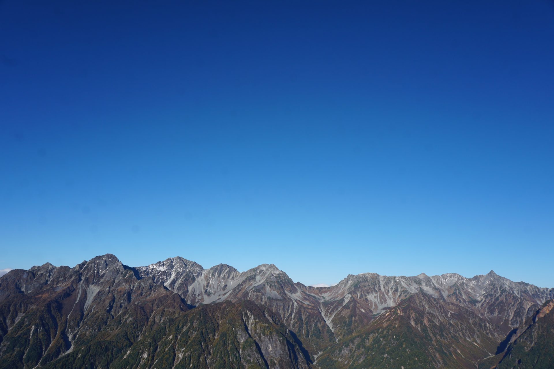
After breakfast on the second day, if you have enough energy, we will go up to Choyari from Chogadake Hutte. The walk takes less than 40-50 minutes one way, but you will enjoy one of the most beautiful ridge lines in the Japanese Alps. Once at Choyari, you will feel that you are much closer to Chogadake and the power of the Yarihotaka mountain range will increase.
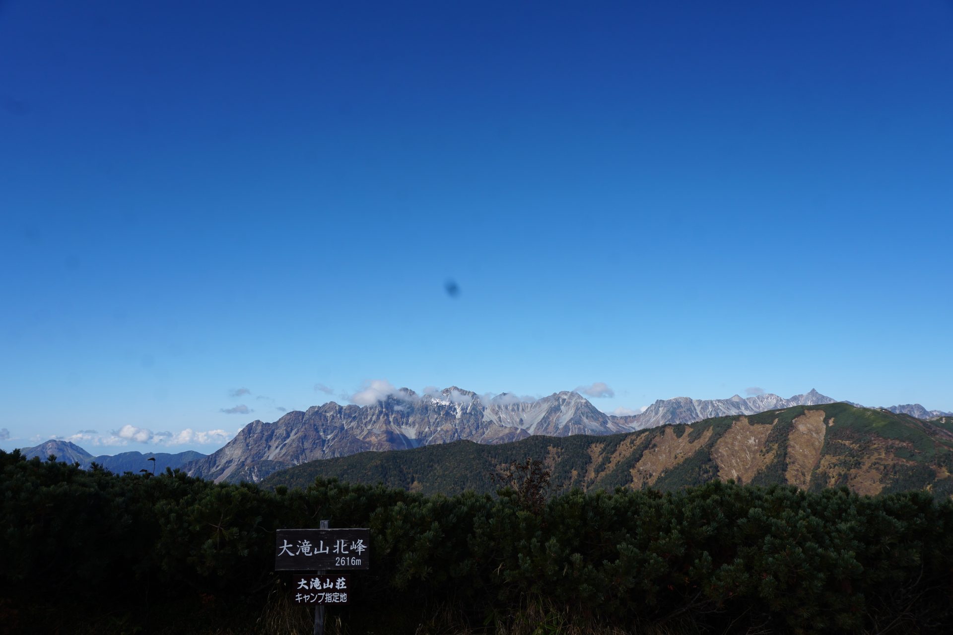
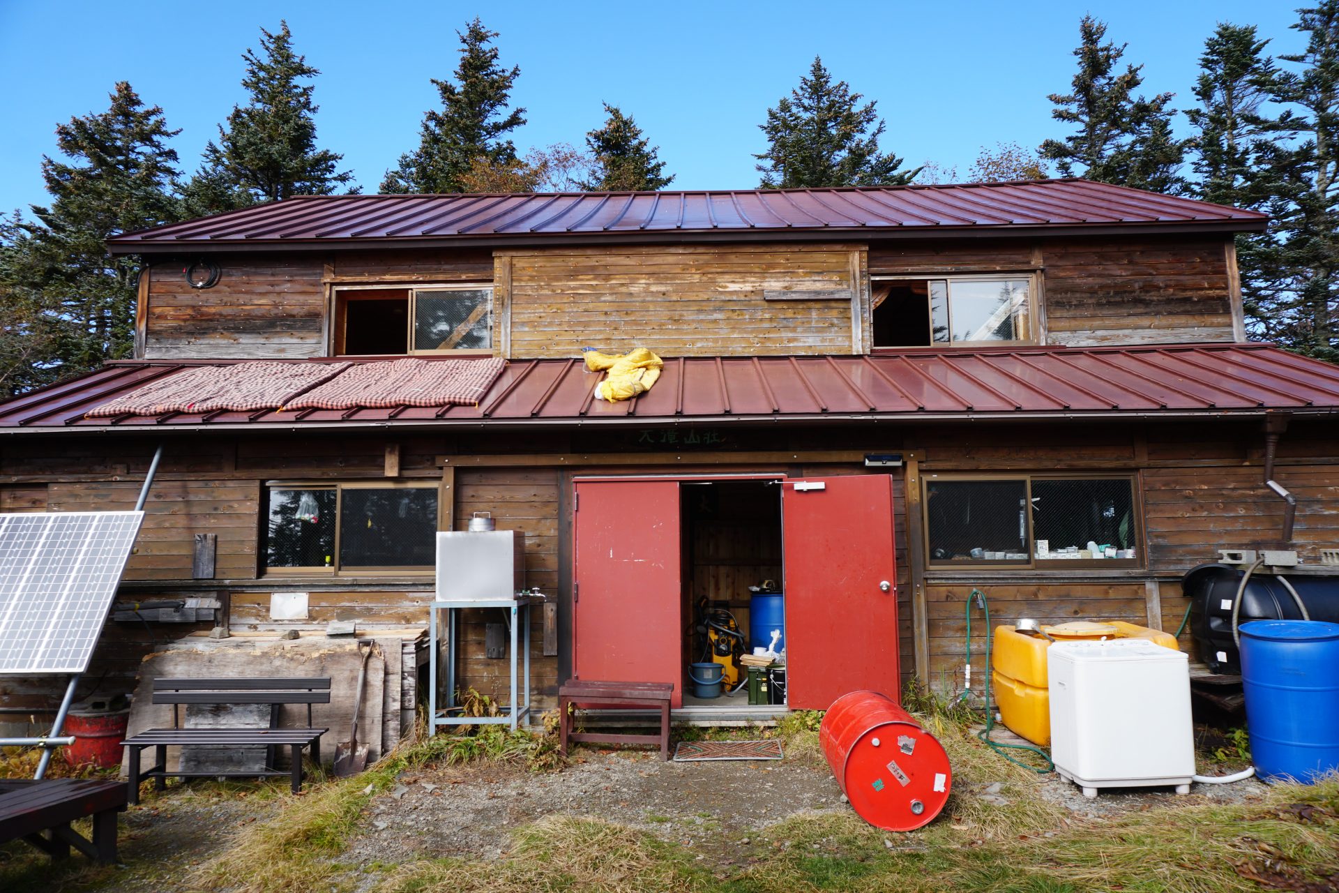
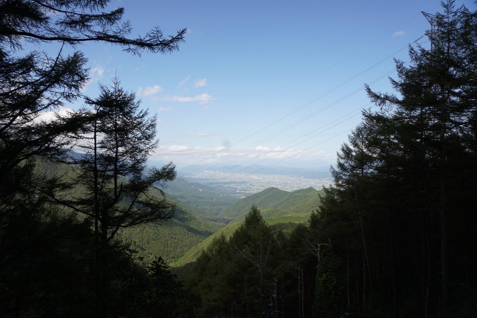
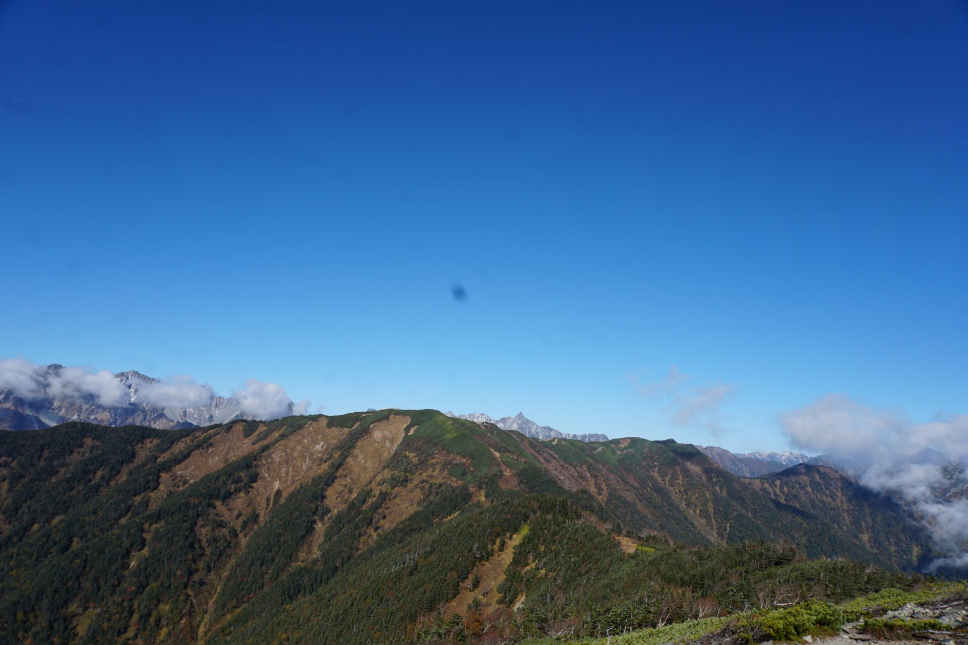
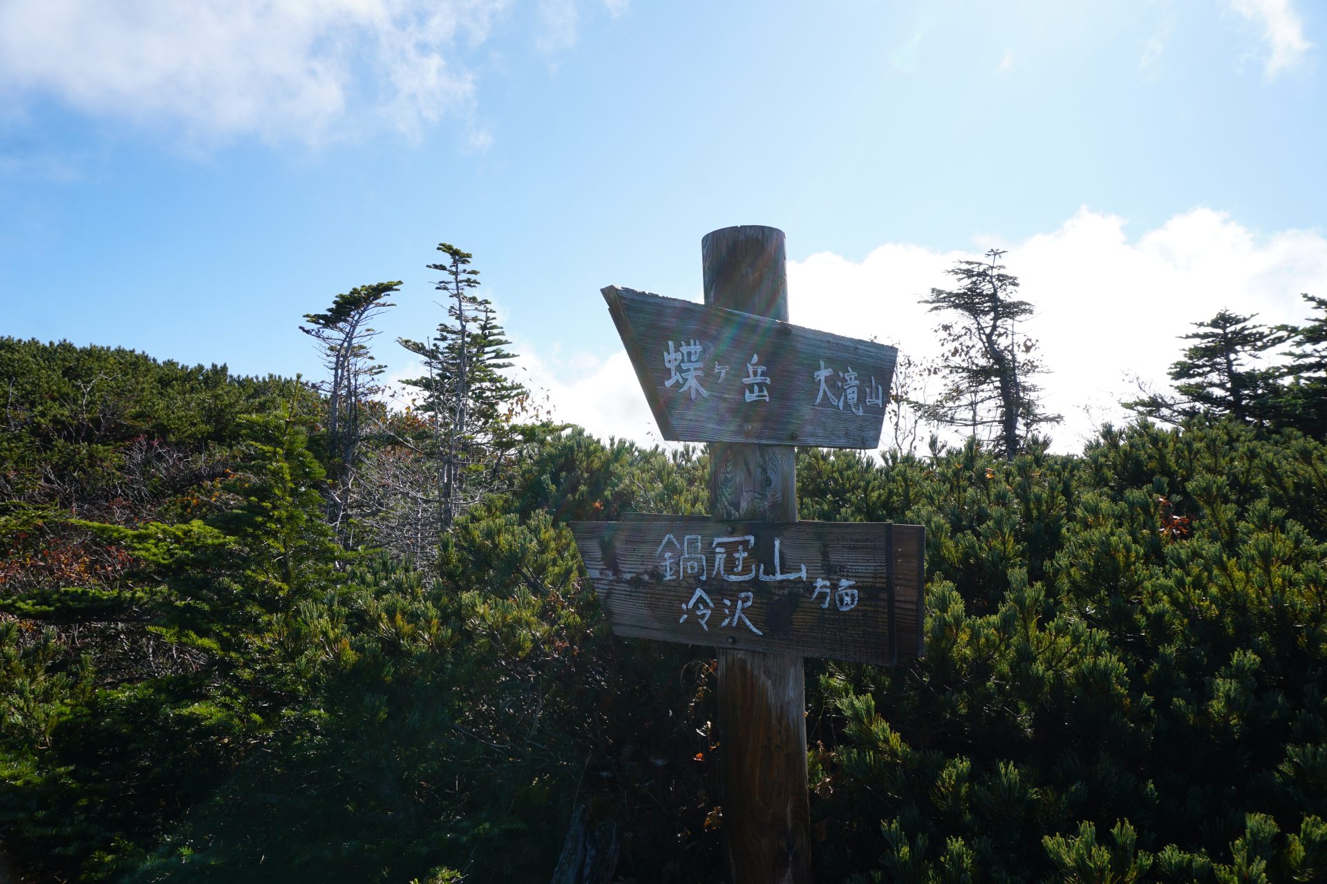
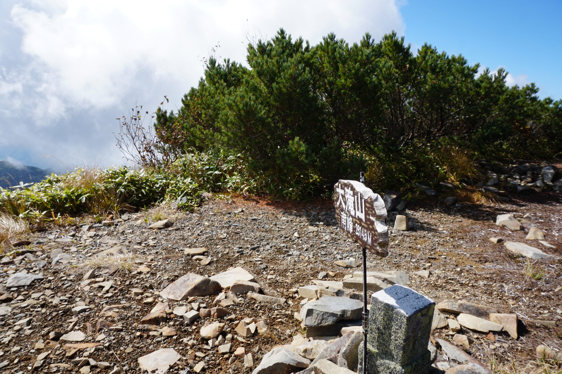
You can return to Kamikochi on the way down, but here we will head in the direction of Otakiyama, where there are relatively few climbers. Otaki, and this time, although the view is a little distant, it will be a ridge walk where you can enjoy a superb view from Ontakesan to Washu-dake. If you have good eyesight, you will be able to find "Hagoromo Falls" in the valley where it falls from Chogatake. Mt. Otaki is a twin-ear peak with two peaks in the north and south, and the small Otaki mountain lodge stands between the trees. Some people stay here to avoid the crowds at Chōgatake Hutte, but it is a nice lodge with a small pond in front of it.
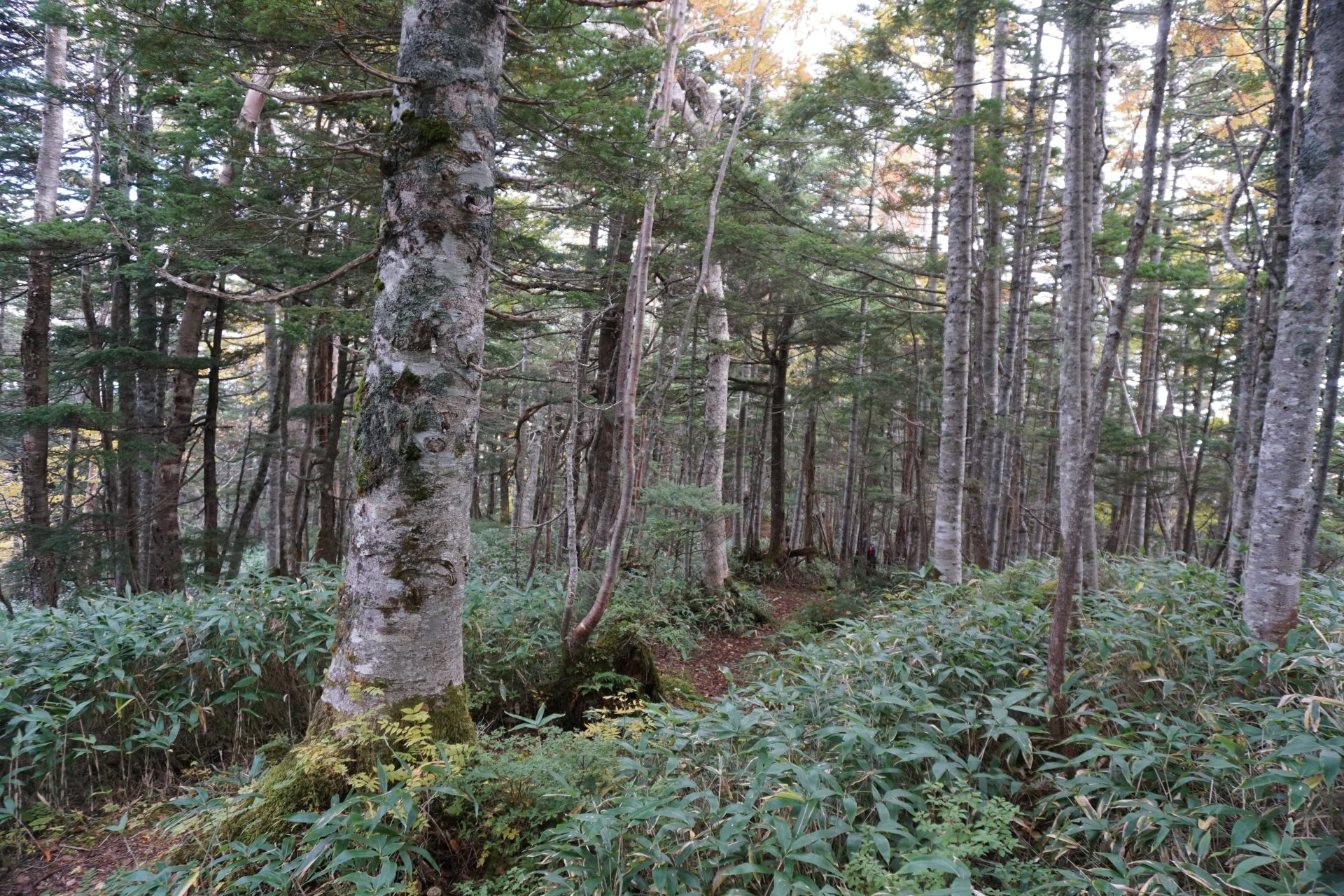
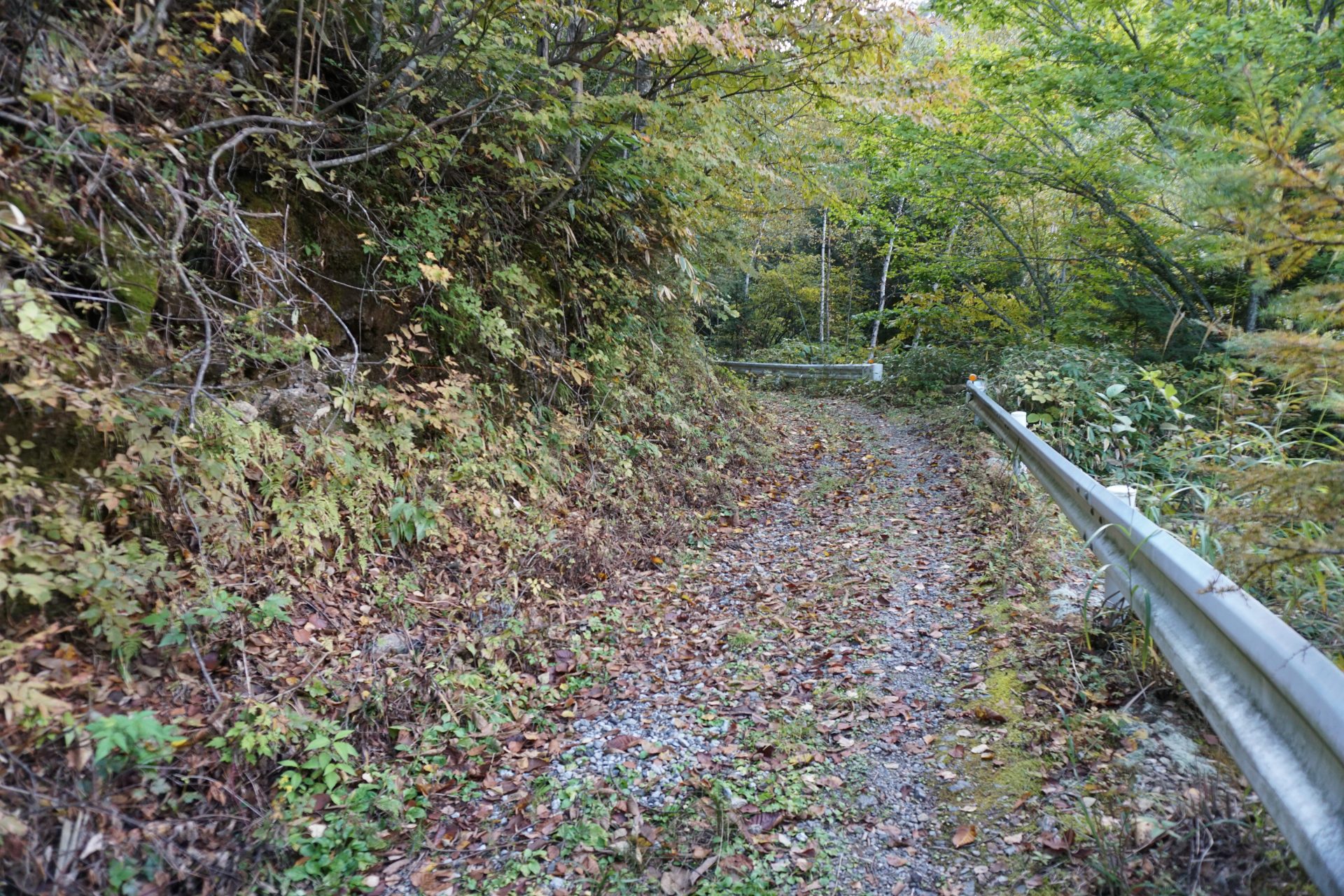
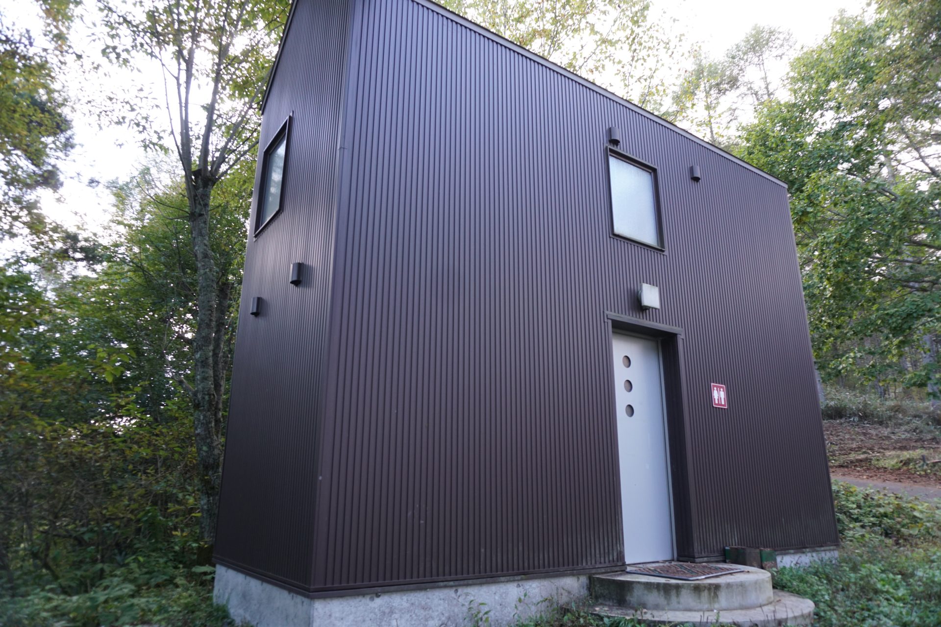
From here, we will quickly descend in elevation to Nabekaburiyama. After descending steeply, we will walk through a pleasant forested area called Hatchodarumi. After a series of gentle ups and downs, you will reach Nabekaburi Mountain. Nabekaburiyama is 2,194 meters above sea level, but it is also the summit of a wooded area. Although it is unlikely to see many people on this trail, the trail itself is very well maintained. After about 3 hours from Mt. Otaki, you will arrive at the Reizawa trailhead. From here, a less than one-hour walk along the forest road leads to the parking lot of the Sango Skyline Observation Deck, where cars can be driven up to. There is a fine restroom here, so please stop by for a chat. If you are taking a cab, it is a good idea to contact the cab company before descending from the summit.