In Japan, there are many names of mountains that originate in the shape of the snow.In Shinshu, the famous peaks of the Alps, such as Mt. Jonen-dake, Mt. Ji-gatake, Mt. Goryu-dake, and Mt. Hakuba-dake (Shorouma-dake), which tower to the west of the plains stretching from Azumino to Omachi to Hakuba, all derive their names from the shape of the snow in spring, and are known as the village. It served as a guideline for people’s farming seasons.This is the best evidence of how the villagers lived with the mountains and the depth of their connection to them.
Cho-gatake, a gently sloping mountain in the southern part of the Jōnen Mountains, is another representative mountain of having its origin in the shape of the snow. Yukio Tabuchi, a naturalist, mountain photographer, and butterfly researcher, compared this pattern to that of the Reverdin’s Butterfly.
There is a record that Banryu Shonin, the founder of Yari−gatake, went from the Azumino side of the mountain to the bottom of the top of Yari-gatake by crossing the Otaki and Yari-gatake mountains in 1826.Despite this historical and cultural background, unfortunately, Cho-gatake and its neighbor Otaki-yama are not even on the list of the top three 100 mountains.
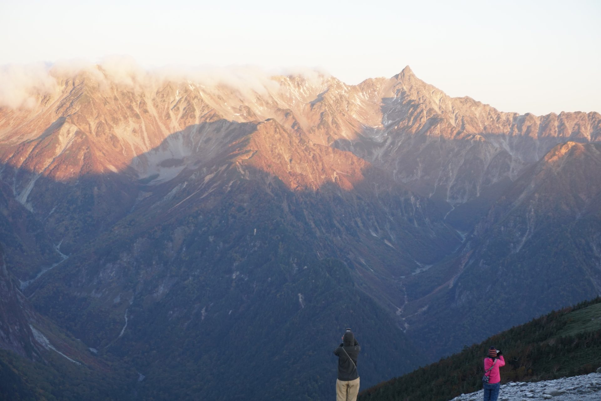
However, the route from Mt. Otaki-yama to Cho-gatake, Choyari, and Jonen-dake is without a doubt one of the most powerful scenic ridge routes in the Northern Alps, with a panoramic view of Yariho that is unparalleled and a bit embarrassing.
Cho-gatake, a famous peak that will reaffirm its appeal to seasoned climbers and have a butterfly effect on for those who have just begun to climb mountains, inviting them to further depths of the Japan Alps.
※Due to the heavy rainfall on July 1, some of the trails leading from Kamikochi to the mountains have become very difficult to access. Please contact the mountain huts to confirm the detailed situation before you go out.
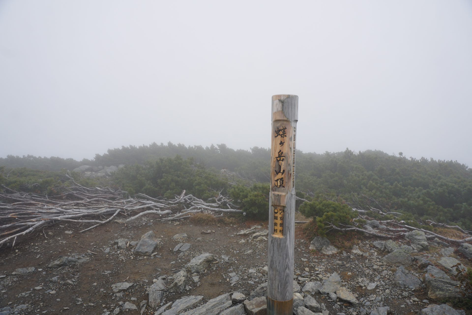
Mt. Cho-gatake: Elevation 2,677m
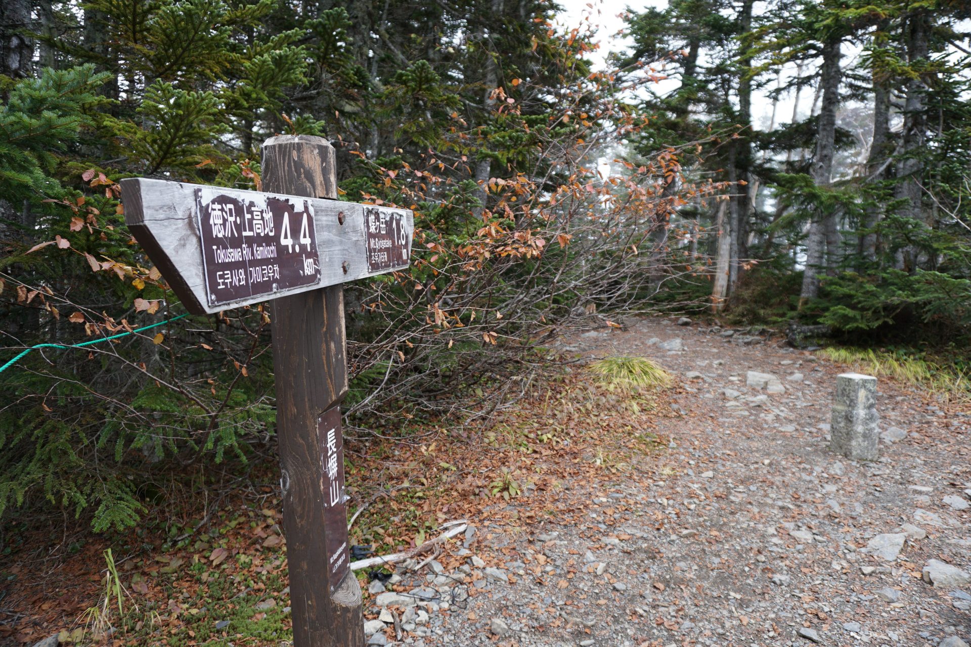
There are several routes to Mt. Cho-gatake, but the Mimata trailhead on the Azumino side is the shortest route to Chō-gatake and can be considered a beginner’s course in the Alps.On the other hand, the circuitous route to Jonen-dake via Cho-gatake may be tough if you are not a good climber.
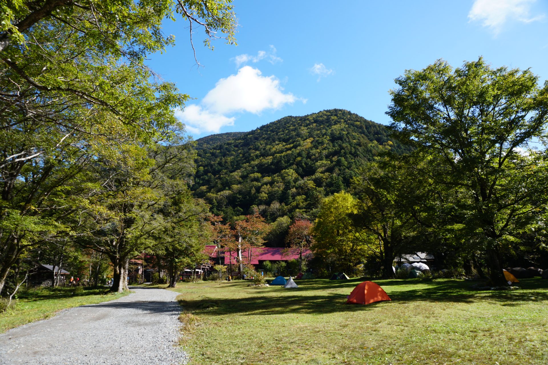
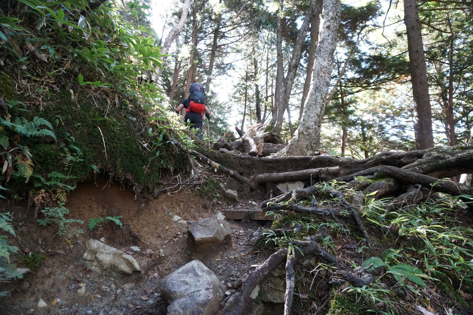
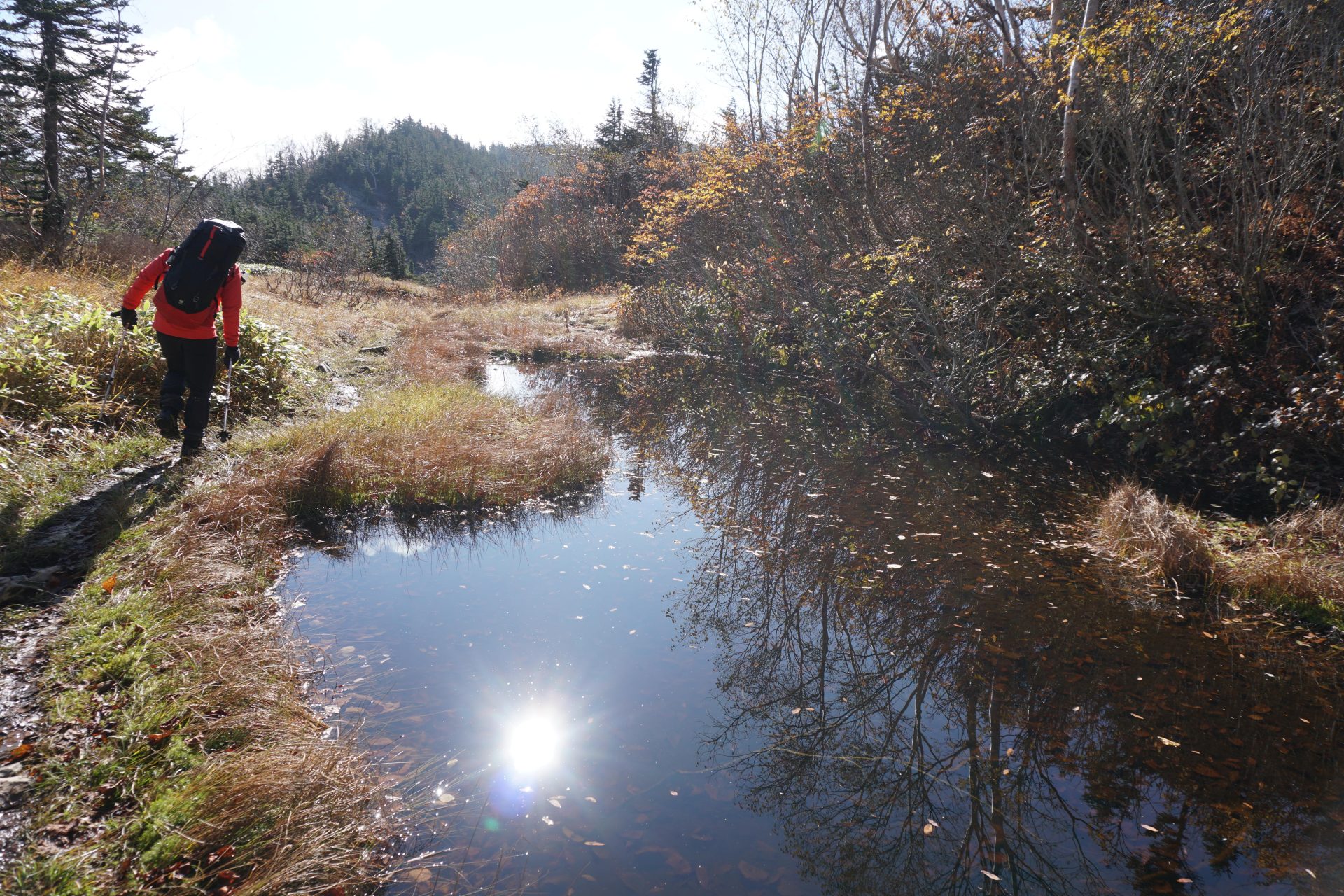
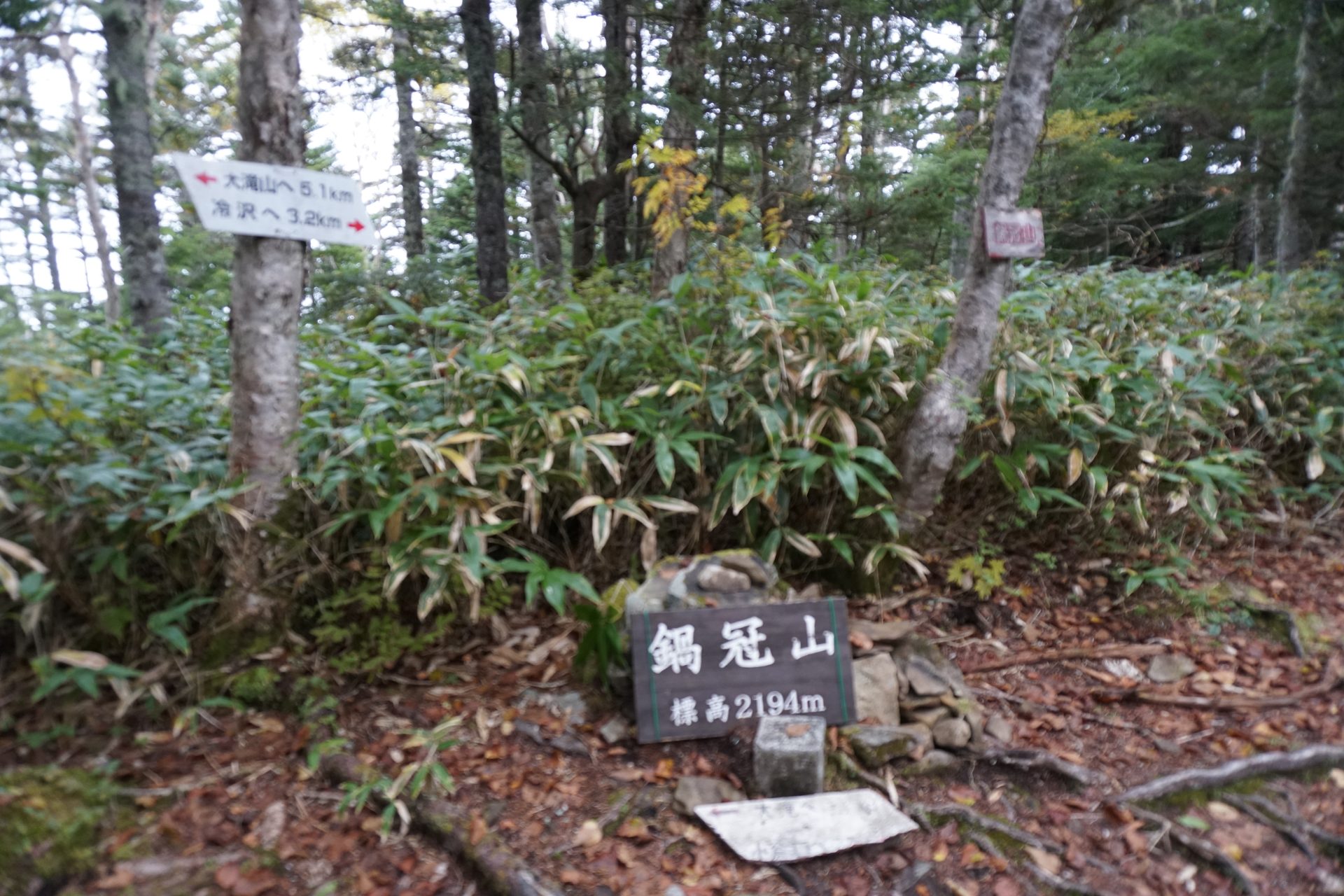
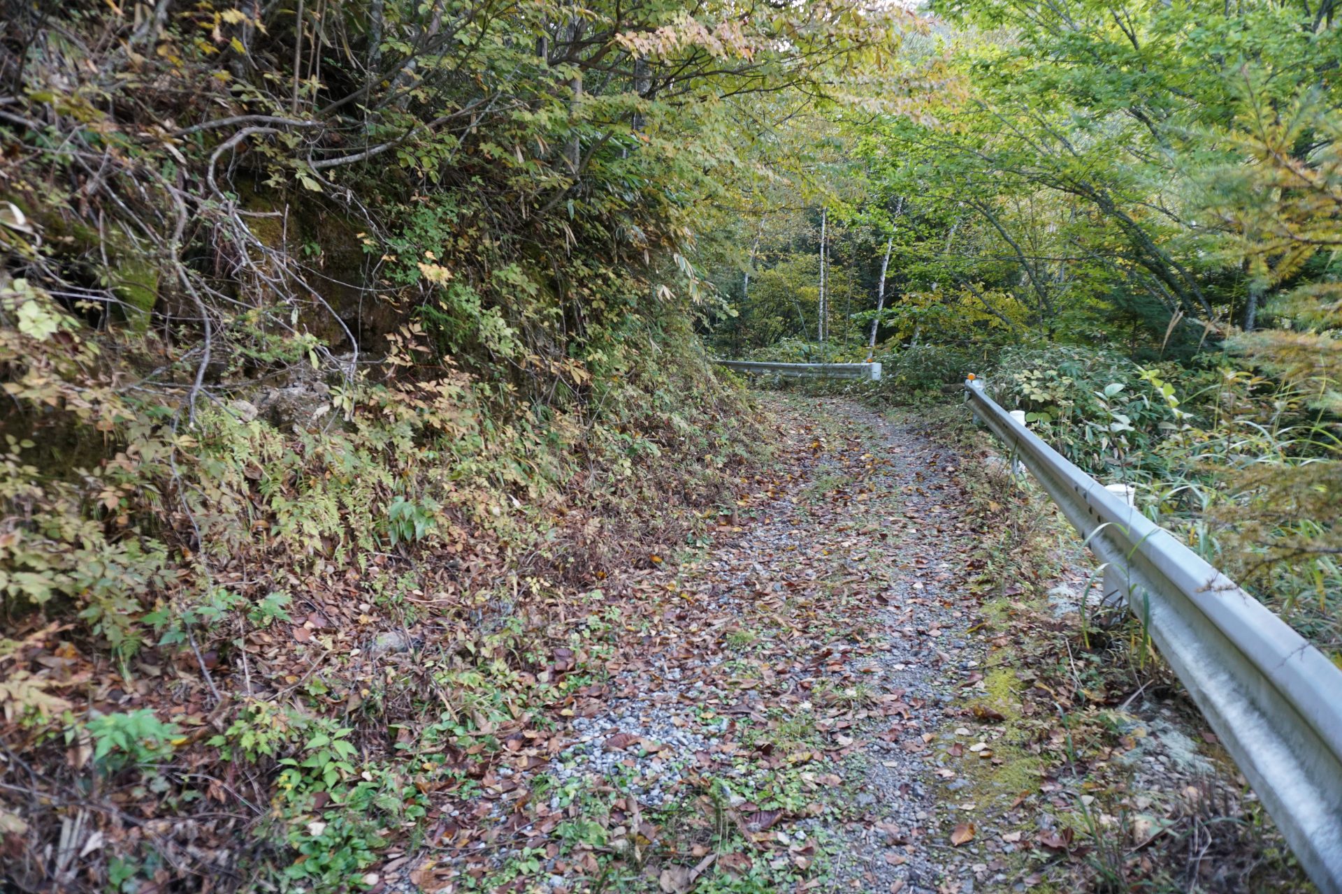
In addition to Mitsumata, there is also the Tsumeta-sawa trailhead on the border of Matsumoto City and Azumino City, which requires a short walk along a forest road, and leads to Cho-gatake via Nabekanmuriyama and Otaki Mountain, a route taken by Banryu Shonin. There is also a route from Kamikochi to Tokusawaen, then a steep climb up Nagakabe Ridge, through the Yoseino-ike wetlands to Cho-gatake, where you can enjoy both a walk in Kamikochi and the Cho-gatake area.
Trailhead vicinity weather
Weekly weather forecast zone:Nagano Prefecture, Chubu Region
| DAY | WEATHER | LOWEST | HIGHEST |
|---|---|---|---|
| 7/12 | 22℃ | 31℃ | |
| 7/13 | 22℃ | 33℃ | |
| 7/14 | 23℃ | 32℃ | |
| 7/15 | 23℃ | 32℃ | |
| 7/16 | 24℃ | 32℃ | |
| 7/17 | 24℃ | 32℃ |
This is a publication of the calculated figures for weather predictions and is not the weather forecast. There are instances where there will be big differences in the values stated for the mountains, in accord with the topography as well as sunlight, etc. so please take care.
72 hours weather information:Mimata trailhead, Horikane Karasugawa, Azumino City, Nagano Prefecture
| Date and time |
7/11 17:00 |
7/11 18:00 |
7/11 19:00 |
7/11 20:00 |
7/11 21:00 |
7/11 22:00 |
7/11 23:00 |
7/12 0:00 |
7/12 1:00 |
7/12 2:00 |
7/12 3:00 |
7/12 4:00 |
7/12 5:00 |
7/12 6:00 |
7/12 7:00 |
7/12 8:00 |
7/12 9:00 |
7/12 10:00 |
7/12 11:00 |
7/12 12:00 |
7/12 13:00 |
7/12 14:00 |
7/12 15:00 |
7/12 16:00 |
7/12 17:00 |
7/12 18:00 |
7/12 19:00 |
7/12 20:00 |
7/12 21:00 |
7/12 22:00 |
7/12 23:00 |
7/13 0:00 |
7/13 1:00 |
7/13 2:00 |
7/13 3:00 |
7/13 4:00 |
7/13 5:00 |
7/13 6:00 |
7/13 7:00 |
7/13 8:00 |
7/13 9:00 |
7/13 10:00 |
7/13 11:00 |
7/13 12:00 |
7/13 13:00 |
7/13 14:00 |
7/13 15:00 |
7/13 16:00 |
7/13 17:00 |
7/13 18:00 |
7/13 19:00 |
7/13 20:00 |
7/13 21:00 |
7/13 22:00 |
7/13 23:00 |
7/14 0:00 |
|---|---|---|---|---|---|---|---|---|---|---|---|---|---|---|---|---|---|---|---|---|---|---|---|---|---|---|---|---|---|---|---|---|---|---|---|---|---|---|---|---|---|---|---|---|---|---|---|---|---|---|---|---|---|---|---|---|
| Weather | ||||||||||||||||||||||||||||||||||||||||||||||||||||||||
| Temperature | 18℃ | 17℃ | 17℃ | 16℃ | 16℃ | 16℃ | 15℃ | 15℃ | 15℃ | 14℃ | 14℃ | 13℃ | 12℃ | 12℃ | 13℃ | 16℃ | 17℃ | 17℃ | 19℃ | 20℃ | 21℃ | 22℃ | 22℃ | 22℃ | 22℃ | 21℃ | 19℃ | 18℃ | 17℃ | 16℃ | 16℃ | 15℃ | 15℃ | 15℃ | 14℃ | 14℃ | 14℃ | 13℃ | 15℃ | 17℃ | 19℃ | 20℃ | 21℃ | 21℃ | 22℃ | 23℃ | 23℃ | 23℃ | 22℃ | 21℃ | 20℃ | 18℃ | 18℃ | 17℃ | 17℃ | 16℃ |
| Precipitation | 0mm/h | 0mm/h | 0mm/h | 0mm/h | 0mm/h | 0mm/h | 0mm/h | 0mm/h | 0mm/h | 0mm/h | 0mm/h | 0mm/h | 0mm/h | 0mm/h | 0mm/h | ※ 16時間以降は表示されません | ||||||||||||||||||||||||||||||||||||||||
| Wind direction |
west 1m/s |
west 1m/s |
west 1m/s |
west 1m/s |
west 1m/s |
west 1m/s |
west 1m/s |
west 1m/s |
west 1m/s |
west 2m/s |
west 2m/s |
west 2m/s |
west 2m/s |
west 1m/s |
west 1m/s |
0m/s |
0m/s |
west 1m/s |
west 1m/s |
west 1m/s |
west 1m/s |
west 1m/s |
west 1m/s |
0m/s |
0m/s |
0m/s |
west 1m/s |
west 1m/s |
west 1m/s |
west 1m/s |
west 1m/s |
west 1m/s |
west 1m/s |
west 1m/s |
west 2m/s |
west 1m/s |
west 1m/s |
west 1m/s |
west 1m/s |
0m/s |
0m/s |
west 1m/s |
west 1m/s |
west 1m/s |
west 1m/s |
west 1m/s |
west 1m/s |
west 1m/s |
west 1m/s |
west 1m/s |
0m/s |
west 1m/s |
west 1m/s |
west 1m/s |
west 1m/s |
west 1m/s |
※The weather information will be information on 5km square including the relevant point.
※天気予報マークは一次細分区域から表示しています
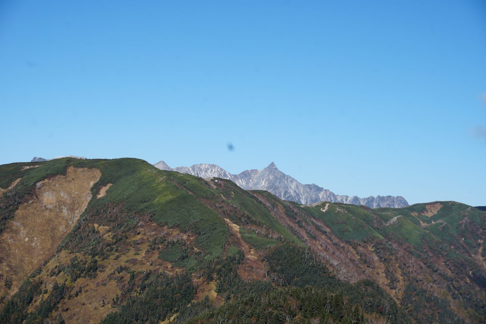
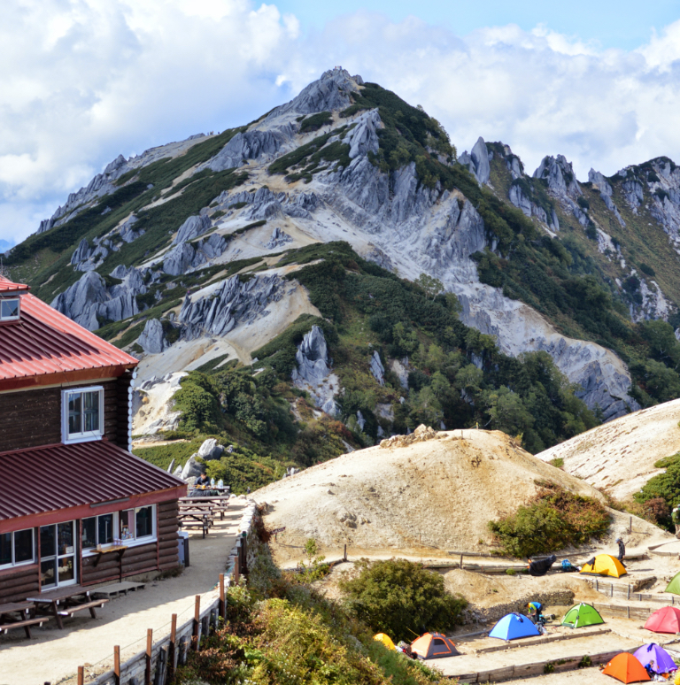
View of Mt. Cho-gatake