Shionomichi Trail Itinerary 7:Yanaba Station~Shinano Omachi Station
Yanaba Station~Shinano Omachi Station Nakatsuna~Shio no Michi Museum Outbound
This trail is a flat road from the lake to the city with various cultural remnants dotting the course. This is a cultural course weaving the threads of history that will give you an up-close view of generations past.
●Hiking data
Walking distance:14.0km
Time required::233 minutes
Altitude:712~828m
Yanaba Station
Elevation 828m
↓ 3 minutes
Nakatsuna
Elevation 825m
↓ 60 minutes
Mori Castle Ruins
Elevation 769m
↓ 70 minutes
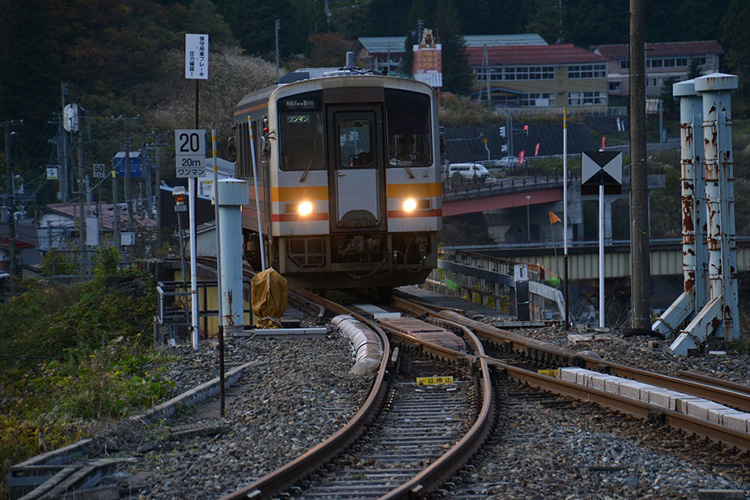
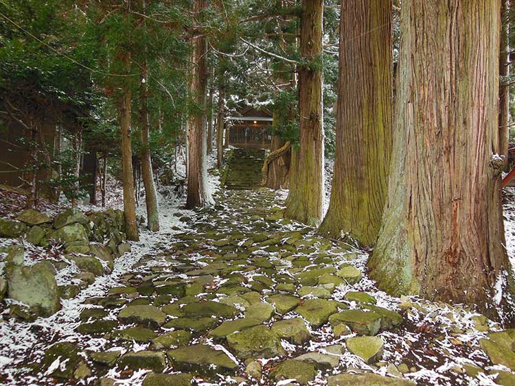
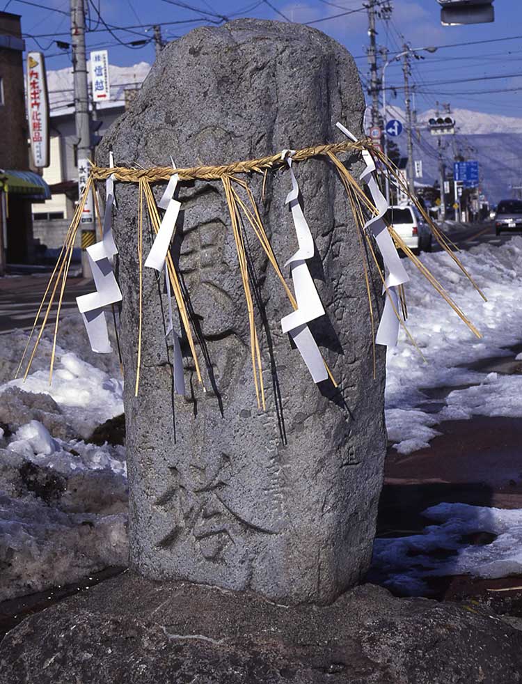
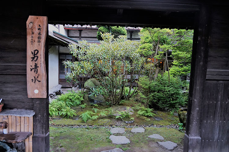
Route Guide
Start at Yanaba Station on the Oito Line and from the Yanaba intersection, walk for a little more than 1 km along the national highway. On the right, you will see a large base for snow removal. Follow the markers beyond the base and diverge from the national highway following the Oito Line train tracks. Cross the train tracks and you will enter rice fields. Once you pass Uminokuchi Suwa Shrine, you will follow the Shionomichi Trail around the banks of Lake Kisaki. Mt. Kogumayama, at an elevation of 1,302 meters, stands on the foothill side. You might also stop by Mori-jo ato, which is the site where Mori Castle once stood inhabited by the Nishina family on the southwestern shore of the lake. From here, you will head into Omachi-juku (an urban area), but rather than walking along the national highway, walk along the old trail on the west side and around Hirano Baseball Field to Kaidakein Temple and the grave of one of Shizuka Gozen’s attendants until you eventually merge with the national highway again. Walk along passing Wakaichi-ouji jinja Shrine and the statue of Daikokuten, and you will enter the old road within the city (shopping arcade). Shionomichi Trail Choja (once a salt wholesaler consisting of the Hirabayashi family’s main house and salt storehouse) displays historic reference materials about the Shionomichi Trail.

