Norikura-dake Hill Climbing/Downhill Cycling Course
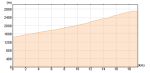
The length is less than 20 km. The elevation at Norikura information center is 1,457 m. The highest point is nearby Tatami-daira at 2, 715 m and the variance is 1,258 m. This is a course with the biggest variance in elevation in Japan for the hill climbing/downhill cycling course. For the race, some athletes take less than 1 hour to climb up, however, most of the cyclists take 2 to 3 hours and it is known as the difficult road climbing course. For the downhill, it may take only 1 hour to go back to Norikura information center.
Best Season:
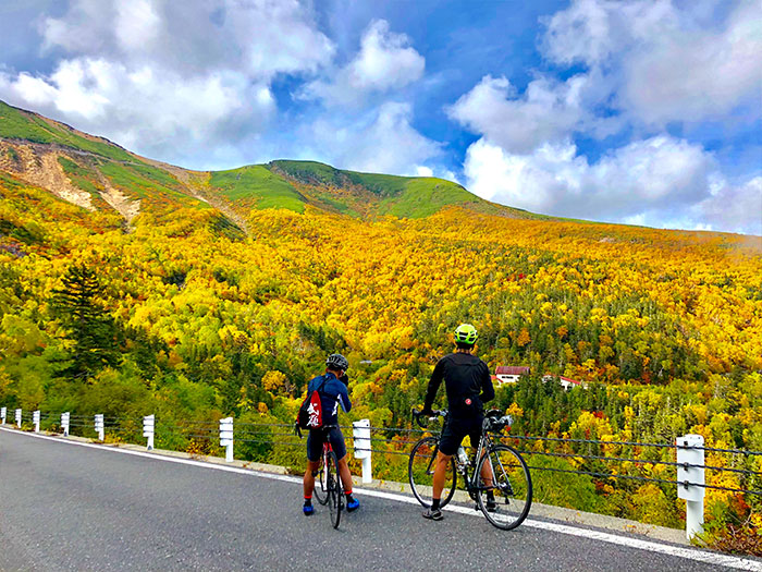
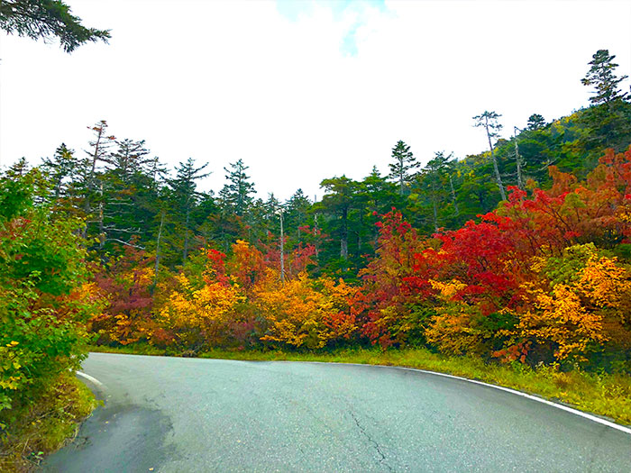
If you wish to enjoy downhill cycling while enjoying autumn leaves, the best season is late Semptember.
Norikura Information Center
Elevation 1457m
↓ Norikura eco line ascending 120~180 minutes
Tatami-daira
Elevation 2705m
Tatami-daira
Elevation 2705m
↓ Norikura eco line descending 60 minutes
Norikura information center
Elevation 1457m
Route Guide
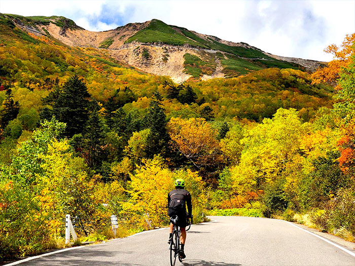
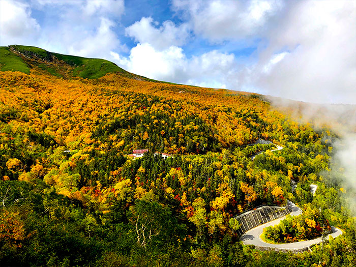
This is the route to enjoy the autumn leaves at the Norikura eco line, the famous route for hill climbing and downhill cycling.
When Mountain Cycling in Norikura at the end of August is over, many cyclists visit Norikura to enjoy a scenic view at the eco line.
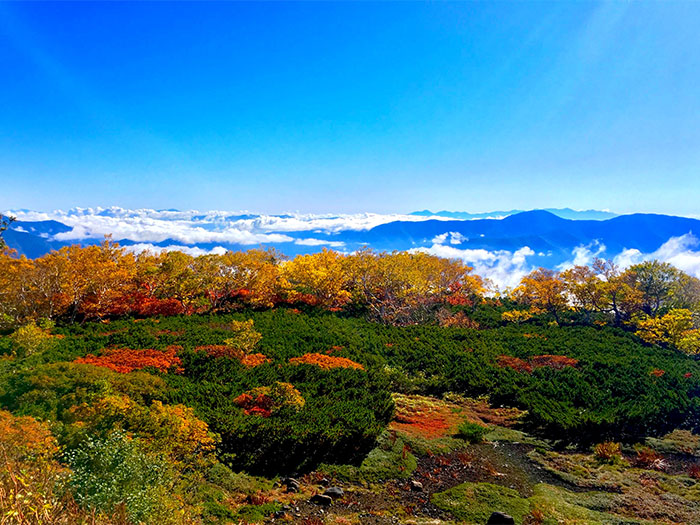
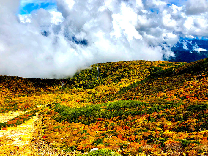
The time required for hill climbing depends on your leg strength and stamina. If you do not exercise regularly, this route is very hard, however some use rental mountain bicycles to challenge hill climbing. You can enjoy downhill cycling while enjoying the autumn leaves after you have challenged yourself so intensely to climb up the steep hill. This activity is very unique to the Norikura area. You might want to descend while taking pictures on the way down. It is highly recommended that you wear cold gear especially when descending during late September when the temperature may drop to 0℃ the in alpine belt. The peak viewing around 2,400 m is late September. The color from Sanbon falls at an elevation of 1,800 m to the Norikura information center can be enjoyed till middle October.
