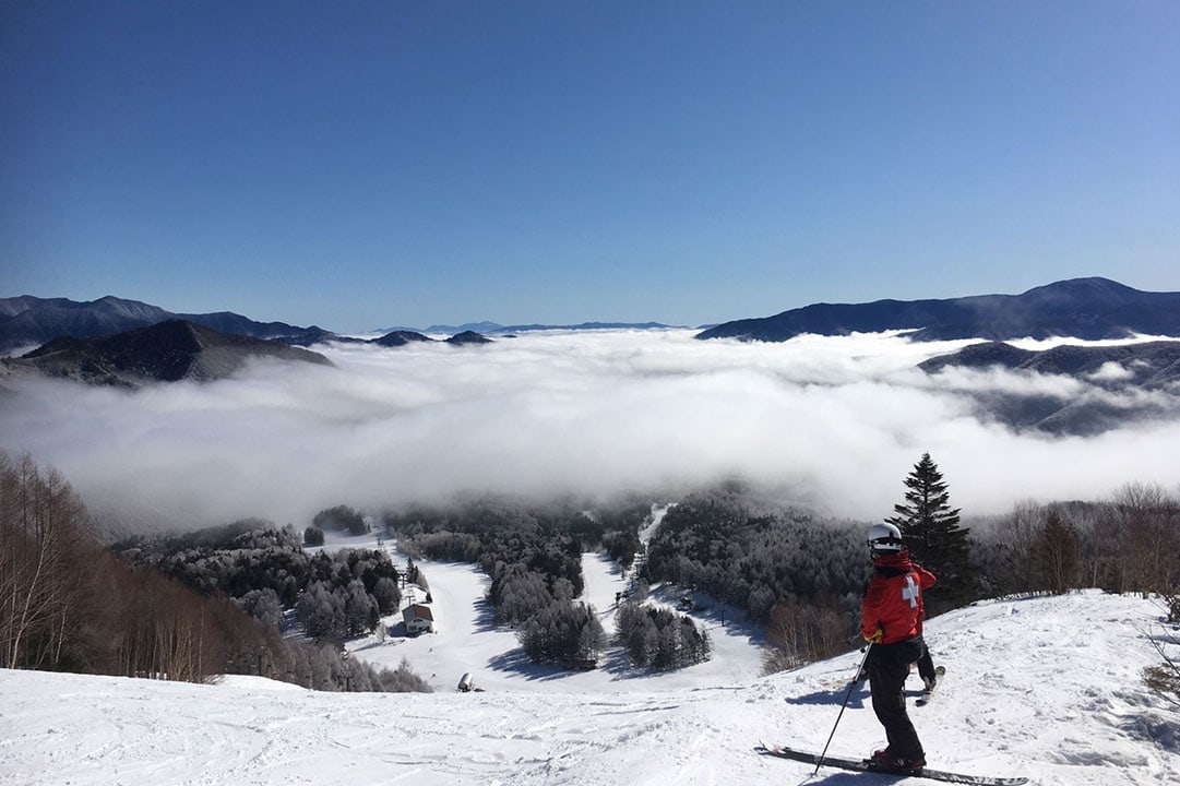
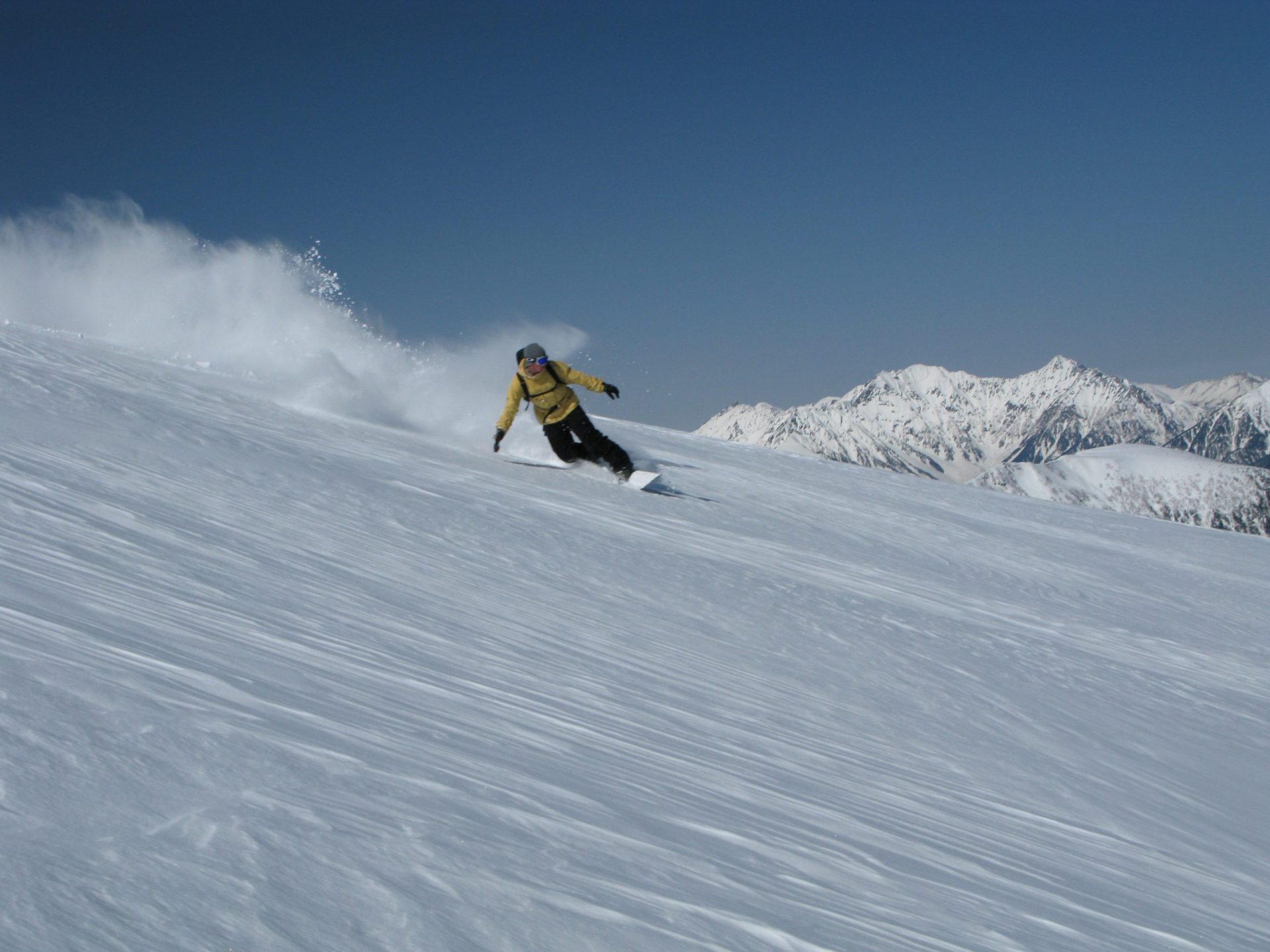
The mountainside of the Norikura peaks, at an elevation of 3000 meters, starts at Mt. Norikura Ski Resort. The course starts after you get off the lift and climb to nearly 3000 meters and then descends through a vast, open valley for dynamic back country skiing.
The Norikura Mountains refers to a total of 23 peaks including the main peak, Kenga-mine (3,026 meters). Of course, most hikers aim for the summit of Kenga-mine, but there are also a large number of people who aim for areas with better conditions for back country skiing. Compared to mountains on the coast, the Norikura Mountains do not have a high snow accumulation, but its snow is the dry, light powder snow unique to inland areas. Normally, every year from Golden Week (late April) a shuttle bus runs to Kurai-gahara-sanso hut located at an elevation of 2,350 meters allowing you to enjoy the long spring season for back country skiing. We will introduce two routes that are particularly popular in the harsh winter season.
Best season:From the end of December to the first half of May
Getting there: From the end of December to the closing of the ski resort in April, take the resort’s Kamoshika Lift to the terminal stop and start climbing. When the shuttle bus resumes operation from the April holiday season, start climbing from the Kuraigahara bus stop.
You not only need the physical strength to carry your skis or snowboard, but you also need the skill to handle descending through any type of snow. There are several tours available, and it is imperative that first-timers participate in a tour. Experienced back country skiers should also consider participating in a tour as a general rule, as conditions are different depending on the season.
Guide
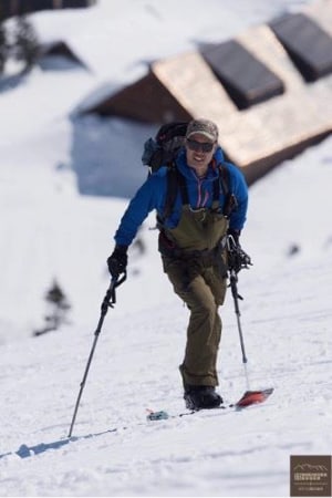
North Star Representative Mr. Ken Yamaguchi
Adventure Sports Director Ken Yamaguchi (familiarly known as Yamaken) is originally from Chiba Prefecture. After working at a ski manufacturer and learning about youth education and outdoor education in the U.S., he moved to Norikura Kogen in 2006. He spends his entire year conveying the wonders of nature through play, serving as an instructor (riding guide) of mountain biking in summer and snowboarding and back country skiing in winter.
“Let’s seek out the dry powder of the Norikura Mountains!”
- Japan Avalanche Network Avalanche Worker Level 1 active member
- Japan Mountain Guides Association Mountain Climbing Guide Stage II/Ski Guide Stage
- Shinshu Mountain Climbing Guide
Trailhead vicinity weather
Weekly weather forecast zone:Tateshina-machi, Kitasaku-gun, Nagano Prefecture, Japan
| DAY | WEATHER | LOWEST | HIGHEST |
|---|---|---|---|
| 7/28 | 24℃ | 32℃ | |
| 7/29 | 23℃ | 33℃ | |
| 7/30 | 22℃ | 31℃ | |
| 7/31 | 23℃ | 30℃ | |
| 8/1 | 22℃ | 32℃ | |
| 8/2 | 23℃ | 34℃ |
This is a publication of the calculated figures for weather predictions and is not the weather forecast. There are instances where there will be big differences in the values stated for the mountains, in accord with the topography as well as sunlight, etc. so please take care.
72 hours weather information:Shuttle bus information desk at the summit of Mt. Norikura, Azumi Suzuran, Matsumoto City, Nagano Prefecture
| Date and time |
7/27 13:00 |
7/27 14:00 |
7/27 15:00 |
7/27 16:00 |
7/27 17:00 |
7/27 18:00 |
7/27 19:00 |
7/27 20:00 |
7/27 21:00 |
7/27 22:00 |
7/27 23:00 |
7/28 0:00 |
7/28 1:00 |
7/28 2:00 |
7/28 3:00 |
7/28 4:00 |
7/28 5:00 |
7/28 6:00 |
7/28 7:00 |
7/28 8:00 |
7/28 9:00 |
7/28 10:00 |
7/28 11:00 |
7/28 12:00 |
7/28 13:00 |
7/28 14:00 |
7/28 15:00 |
7/28 16:00 |
7/28 17:00 |
7/28 18:00 |
7/28 19:00 |
7/28 20:00 |
7/28 21:00 |
7/28 22:00 |
7/28 23:00 |
7/29 0:00 |
7/29 1:00 |
7/29 2:00 |
7/29 3:00 |
7/29 4:00 |
7/29 5:00 |
7/29 6:00 |
7/29 7:00 |
7/29 8:00 |
7/29 9:00 |
7/29 10:00 |
7/29 11:00 |
7/29 12:00 |
7/29 13:00 |
7/29 14:00 |
7/29 15:00 |
7/29 16:00 |
7/29 17:00 |
7/29 18:00 |
7/29 19:00 |
7/29 20:00 |
7/29 21:00 |
7/29 22:00 |
7/29 23:00 |
7/30 0:00 |
|---|---|---|---|---|---|---|---|---|---|---|---|---|---|---|---|---|---|---|---|---|---|---|---|---|---|---|---|---|---|---|---|---|---|---|---|---|---|---|---|---|---|---|---|---|---|---|---|---|---|---|---|---|---|---|---|---|---|---|---|---|
| Weather | ||||||||||||||||||||||||||||||||||||||||||||||||||||||||||||
| Temperature | 24℃ | 25℃ | 25℃ | 24℃ | 23℃ | 22℃ | 22℃ | 21℃ | 20℃ | 20℃ | 20℃ | 20℃ | 20℃ | 20℃ | 19℃ | 19℃ | 19℃ | 19℃ | 19℃ | 19℃ | 19℃ | 20℃ | 20℃ | 20℃ | 20℃ | 21℃ | 20℃ | 20℃ | 20℃ | 20℃ | 19℃ | 19℃ | 18℃ | 18℃ | 17℃ | 17℃ | 16℃ | 16℃ | 16℃ | 16℃ | 16℃ | 15℃ | 17℃ | 20℃ | 22℃ | 24℃ | 25℃ | 25℃ | 25℃ | 25℃ | 24℃ | 24℃ | 23℃ | 22℃ | 21℃ | 19℃ | 18℃ | 18℃ | 17℃ | 17℃ |
| Precipitation | 0mm/h | 0mm/h | 0mm/h | 0mm/h | 0mm/h | 0.4mm/h | 2mm/h | 2mm/h | 0mm/h | 0mm/h | 0mm/h | 0mm/h | 0mm/h | 0mm/h | 0mm/h | ※ 16時間以降は表示されません | ||||||||||||||||||||||||||||||||||||||||||||
| Wind direction |
west-northwest 1m/s |
west-northwest 2m/s |
west-northwest 2m/s |
west-northwest 2m/s |
west-northwest 1m/s |
west-northwest 1m/s |
west-northwest 1m/s |
west-northwest 1m/s |
west-northwest 1m/s |
west-northwest 1m/s |
west-northwest 2m/s |
west-northwest 2m/s |
west-northwest 2m/s |
west-northwest 2m/s |
west-northwest 3m/s |
west-northwest 3m/s |
west-northwest 3m/s |
west-northwest 3m/s |
west-northwest 2m/s |
west-northwest 2m/s |
west-northwest 3m/s |
west-northwest 3m/s |
west-northwest 3m/s |
west-northwest 3m/s |
west-northwest 3m/s |
west-northwest 3m/s |
west-northwest 3m/s |
west-northwest 3m/s |
west-northwest 3m/s |
west-northwest 3m/s |
west-northwest 3m/s |
west-northwest 2m/s |
west-northwest 2m/s |
west-northwest 1m/s |
west-northwest 1m/s |
west-northwest 1m/s |
west-northwest 1m/s |
west-northwest 1m/s |
west-northwest 1m/s |
west-northwest 1m/s |
west-northwest 1m/s |
west-northwest 1m/s |
west-northwest 1m/s |
west-northwest 1m/s |
west-northwest 2m/s |
west-northwest 2m/s |
west-northwest 2m/s |
west-northwest 3m/s |
west-northwest 3m/s |
west-northwest 3m/s |
west-northwest 3m/s |
west-northwest 3m/s |
west-northwest 3m/s |
west-northwest 2m/s |
west-northwest 2m/s |
west-northwest 1m/s |
west-northwest 1m/s |
west-northwest 1m/s |
west-northwest 1m/s |
west-northwest 1m/s |
※The weather information will be information on 5km square including the relevant point.
Route Information
Route information and ski run routes are provided as reference only. They may vary greatly depending on the skills of the people climbing the mountain, weather, and snow conditions. Please participate in a tour when ascending the mountain or go with a guide. Please confirm the details of the route with the tour organizer or guide.
Norikura-dake back country skiing field introduction
【Mt.Marishiten-dake】
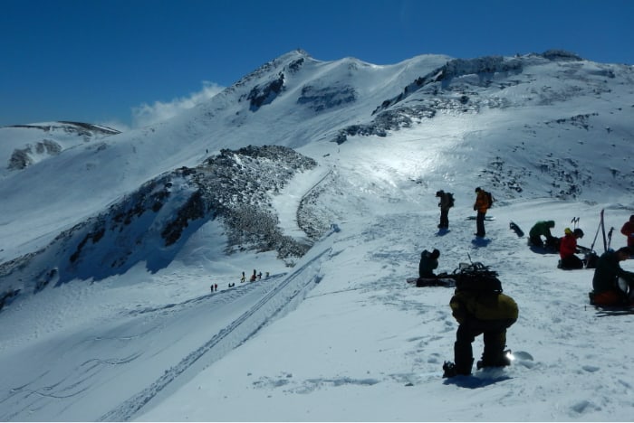
From the top of the ski resort (2000 meters), follow the tour course, and you will arrive at Kuraigahara in about two hours. Kuraigahara is located on a plateau at an elevation of 2,500 meters with creeping pine spreading throughout the area. In most cases, you will have to judge the weather and snow accumulation once you get to the plateau, and when the snow and wind are strong, most people enjoy climbing and descending the steep slope from Kuraigahara a number of times. If you can determine that the weather and snow conditions are favorable, you can continue even further.
Cross Kuraigahara, and head to the mountain range on the north side of the Norikura Mountains. Aim for Mt. Marishiten-dake and climb the vast ridge that is familiarly known as Marishiten Ridge. It takes about two hours (four hours total) to reach the ridge of Mt. Marishiten-dake (elevation: 2,780 meters).
Mt. Marishiten-dake is the rocky peak where the former Tokyo University Corona Observatory is located. Under normal circumstances, this slope is the drop point. The east face of the ridge, commonly known as “the Slide” (referring to Marishiten Ridge that you just climbed) is a very popular drop point because of its broad, relatively even and moderate slope. The southeastern route, which is the slope that stretches from the ridge toward the toilets on the great snowy gorge, has a steeper slope, but the slope itself is broad with plenty of room to descend. To some extent, the snow conditions on the Slide can be judged on the way up, but as the slope on the route to the great snowy gorge toilet is in a different direction, it is necessary to check the snow conditions sufficiently before making your drop in. These two routes are great because you can return to the ski resort via the tour courses without climbing back up.
【Mt. Fujimi-dake】
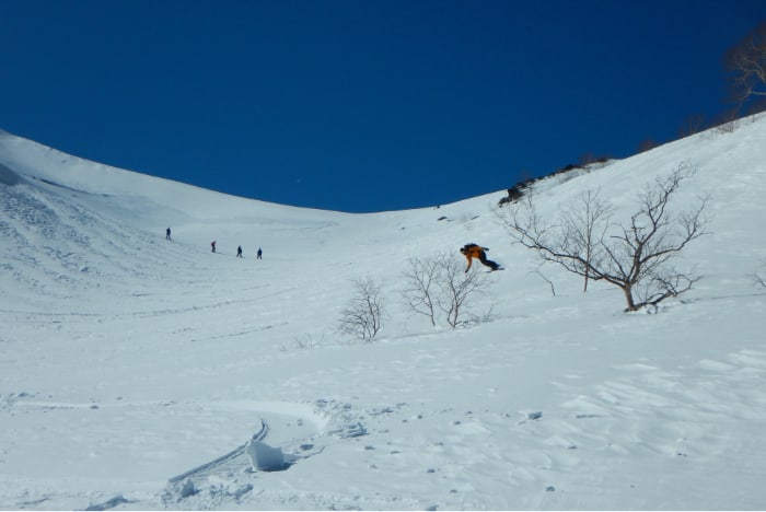
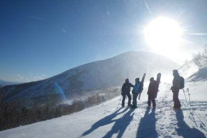
Climb the slope of the route that aims for Mt. Marishiten-dake and use the summer forest road that goes to the Tatamidaira Plateau on the west side of the summit from the Mt. Marishiten-dake slope to get to the ridge on Mt. Fujimi-dake. This forest road often freezes in winter, so caution is necessary as crampons often have to be used.
The vast slope that spreads as you look down from the slope onto the mountain hut is commonly known as Fujimi-sawa. You can drop in from the slope or enjoy the sharp drop from the peak even further on the north side (not Fujimi-dake peak; the peak is even further north). Whichever you choose, make sure to check the snow conditions carefully.
Fujimi-sawa is so broad and expansive, once you drop in your sense of speed will be completely thrown off.
In addition, there are very few areas on the slope that are safe from avalanches, so please choose your regrouping points with care. After descending to the lower part of the slope, a forest zone with a variety of terrain awaits. Enjoy the terrain, but also proceed with caution through the somewhat dense forested area until you arrive at the prefectural road. As long as you are here, why not stop at Kurai-gahara-sanso mountain hut for a truly delicious cup of coffee? The owner operates the hut on his own, so please make sure to check the hours of operation beforehand. When you do stop by, the hut is almost too comfortable, so don’t stay too long because before you know it, there can be major changes in the weather. From the mountain hut, climb back up along the prefectural road 30 minutes and go back to the tour course, and then descend to the ski resort. Immediately outside the hut is an avalanche slope, so take the greatest care as you pass.
Back Country tour introduction
■Beginner back country
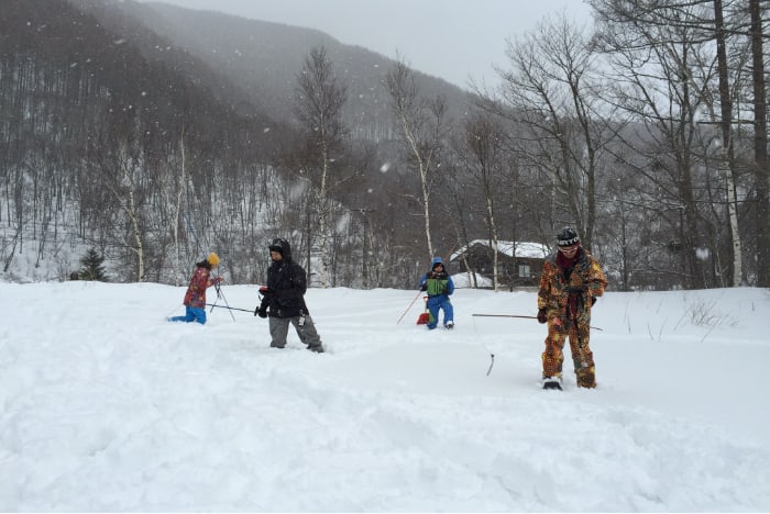
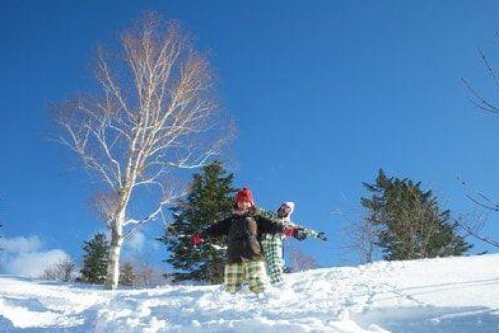
For people venturing into the back country for the first time, we recommend the beginner back country tour, which includes a simple avalanche lecture and avalanche equipment usage practice.
A simple lecture* is conducted on avalanche and terrain theory and how to operate the various equipment you need in order to go into the back country. How to hike in the field and ensure your safety and tips for riding are taught in detail. All of the questions and concerns of the participants will be answered one by one. Even first-timers will be able to enjoy riding in the back country. We recommend the lecture on free riding to snowboarders who are not very confident in their ability yet.
- ●Season
- Mid-January to the end of March
- Schedule
- ・Meeting/reception (7:30 a.m.)
- ・Avalanche lecture (8:00 a.m.)
- ・Go to field (9:00 a.m.)
- ・Hike starts (9:30 a.m.)
The hike is approximately 2 – 3 hours. The guide will adjust the pace and proceed with the hike taking breaks as necessary, allowing first-timers the chance to hike at a reasonable pace.
・The guide will select the riding course based on conditions and the levels of the participants.
・Return (3:30 – 4:00 p.m.) - Required equipment
- Snowboard or skis, boots, snow jacket, snow pants, backpack (around 30L), avalanche transceiver, probe (sonde), shovel, extendable ski poles for hiking, climbing tools (seals or snow shoes), ski crampons (for those with skis or splitboards), backpacking food (lunch), water bottle, extra goggles, extra gloves, down jacket (something small that fits in your pack)
- Rental equipment
- Gear required for the back country, transceiver, probe, shovel, hiking poles, snow shoes, and backpacks can be rented. Please click here for details.
- Target
- Snowboarders, skiers, telemark skiers. Those who can descend a steep ski slope safely without falling in any conditions, including new snow and deep snow.
- Age restrictions
- High school students or older (minors under age 20 must be accompanied by a guardian).
■For those with Back Country Experience(Mt.Norikura-dake、Hirayu、Mt.yake-dake)
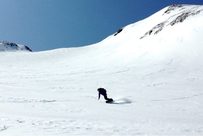
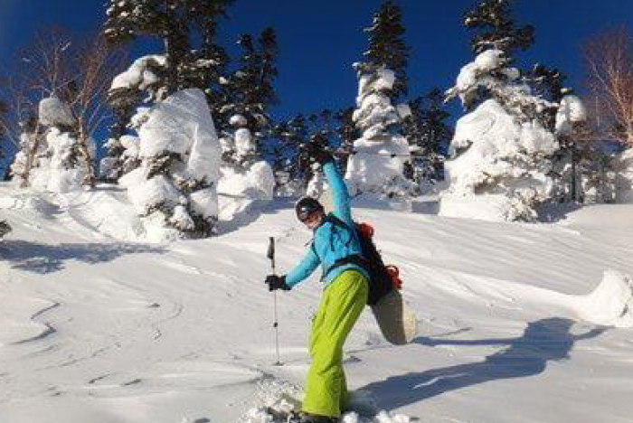
We recommend tours that concentrate on the Mt. Norikura-dake area for those skiers with back country experience. The back country area of Mt. Norikura-dake with its high altitude, maintains good conditions for longer periods of time. You can also expect deep and dry powder snow from the Hirayu Onsen area on the Gifu side. From March, you can also try your hand at Mt. Yake-dake.
- Elevation
- Aim for peaks higher than 3,000 meters or enjoy skiing around the tree line and natural half pipes. Our guides will plan a tour that gives guests what they want while taking the day’s weather and conditions into consideration.
- Season
- Mt. Norikura-dake (end of December – early June), Hirayu Onsen (mid-January – early March), Mt. Yake-dake (March – mid-April)
- Schedule
- Reception (7:30 a.m.) ・Go to field (8:00 a.m.) ・Back country tour (hike 3 – 5 hours) ・Tour ends (3:00 – 4:00 p.m.)
- Equipment
- Snowboard or skis, boots, snow jacket, snow pants, backpack (around 30L), avalanche transceiver, probe (sonde), shovel, extendable ski poles for hiking, climbing tools (seals or snow shoes), ski crampons (for those with skis or splitboards), water bottle, extra goggles, extra gloves, down jacket (something small that fits in your pack), head lamp
- Rental equipment
- Gear required for the back country, transceiver, probe, shovel, hiking poles, snow shoes, and backpacks can be rented. Please click here for details.
- Geared toward
- Snowboarders, skiers, telemark skiers with back country experience (beginners are not permitted)
- Age restrictions
- High school students or older (minors under age 20 must be accompanied by a guardian).
■For experienced Stay at Kuraigahara Sanso Backcountry tour
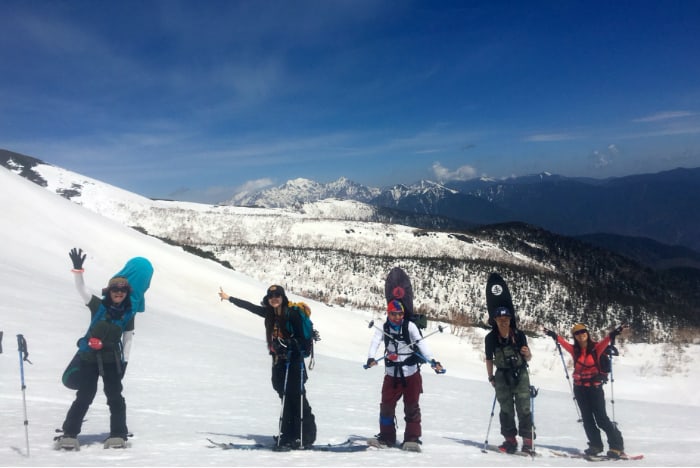
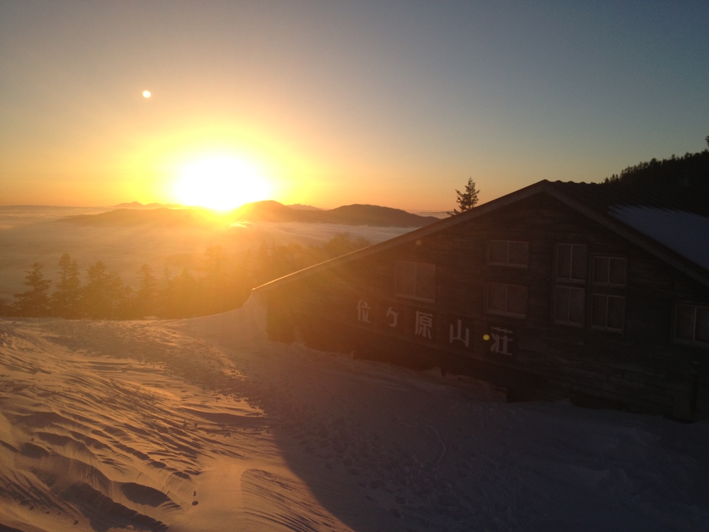
Kurai-gahara-sanso is located at an elevation of 2,350 meters. It is a mountain hut situated deep in the mountains that can only be reached on foot during the winter. At the same time, it is a snowy mountain oasis providing peace and tranquility to those who climb Mt. Norikura-dake. The owner always greets his guests with a smile, and there is no shortage of regular guests who come to the mountain hut to see him in particular. Depending on the weather, you can see a perfect starry sky or a divine sun rise.
Adding a mountain hut to your back country tour route will increase the variation in riding and allow you to go deeper and farther. This is the best tour for enjoying Mt. Norikura-dake in the depth of winter and savoring the slow passage of time at a mountain hut.
- Schedule
- Day 1 ・Reception (8:00 a.m.) ・Go to ski slope (8:30 a.m.)・Hike starts (9:30 a.m.) hike & ride・Arrive at Kurai-gahara-sanso (3:00 p.m.) ・Dinner (6:00 p.m.)
Day 2 ・Breakfast (7:00 a.m.) ・Hike starts (8:00 a.m.) hike & ride ・Arrive at ski resort 2:30 p.m.) ・Return (3:00 p.m.) - Equipment
- Snowboard or skis, boots, snow jacket, snow pants, backpack (around 30L), avalanche transceiver, probe (sonde), shovel, extendable ski poles for hiking, climbing tools (seals or snow shoes), ski crampons (for those with skis or splitboards), water bottle, extra goggles, extra gloves, down jacket (something small that fits in your pack)
- Additional equipment
- The mountain hut has bedding. In addition to the usual gear for back country skiing, please bring potable water, toiletries, clothing for relaxing in, and anything else you will need at the mountain hut.
- Rental equipment
- Rental gear is available, but we assume that the participants on this tour are experienced back country skiers who have their own equipment and are able to use it proficiently.
- Geared toward
- Snowboarders, skiers, telemark skiers with back country experience (beginners are not permitted), those who can descend a steep ski slope safely without falling in any conditions, including new snow and deep snow. Those who can use avalanche gear proficiently.
- Age restrictions
- High school students or older (minors under age 20 must be accompanied by a guardian).
- Season
- Desired dates from the end/beginning of the year – early January and mid-February – early June
Mt. Introduction of Norikura Snow Resort
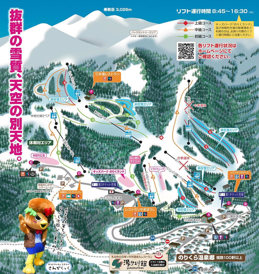
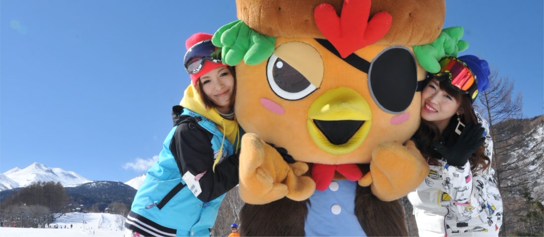
This is a sprawling ski resort in the Norikura Mountains of Nagano Prefecture. There are eight lifts and more than 20 courses that spread throughout the resort offering fun for everyone from children and beginners to advanced skiers. Even the lowest elevation where the lifts start is a lofty 1,477 meters, and the highest elevation is 1,972 meters. As the ski resort itself is located at such a high elevation, it is highly acclaimed for its fantastic snow conditions.
The foothills are scattered with onsen resorts, such as Norikura Kogen, and though it is not a large tourist area, you can find sufficient accommodations. Accessing the area by car takes about one hour from the Matsumoto highway interchange or 90 minutes from the Takayama interchange. Despite the amazing environment and ski conditions, it is the perfect place to avoid crowds and enjoy all the skiing you want in a relaxed atmosphere.
