Omote Ginza Panorama Route
Nakabusa Onsen ~ Mt. Tsubakuro-dake ~ O-tensho Mountain hut ~ Mt. Nishi-dake ~ Minamata-nokkoshi ~ O-yari Mountain hut ~ Mt. Yari-gatake ~ Yokoo ~ Kamikochi
Technical level: C
Physical strength level: 9
Difficulty level: ⛰️⛰️⛰️⛰️
The most popular route in the Northern Japan Alps, is called the Omote Ginza mountains ridgeline travers.
Eyeball the goal point, Mt. Yari-gatake from the starting point at Mt. Tsubakuro-dake before you begin to hike!
Access to Nakabusa Onsen
ACCESS to Kamikochi
●Hiking Data
Schedule: Three nights 4 days
Walking hours: 24 hours 50 minutes
(to O-tensho Mountain hut: 9 hours O-tensho Mountain hut ~ O-yari Mountain hut: 6 hours O-yari Mountain hut ~ Kamikochi: 9 hours 50 minutes)
Walking distance: 36.2 km
Difference in elevation: 3,289 m
Nakabusa Onsen
Elevation 1,450m
↓ 4 hours 50 minutes
Mt. Tsubakuro-dake

Elevation 2,763m
↓ 4 hours 10 minutes
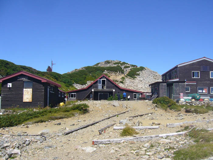
O-tensho Mountain hut

Elevation 2,760m
↓ 2 hours 50 minutes
Mt. Nishi-dake
Elevation 2,758m
↓ 1 hour
Minamata-nokkoshi
Elevation 2,480m
↓ 2 hours 10 minutes
O-yari Mountain hut
Elevation 2,884m
↓ 1 hour 20 minutes
Mt. Yari-gatake
Elevation 3,179m
↓ 8 hours 30 minutes
Kamikochi
Elevation 1,505m

Route Guide
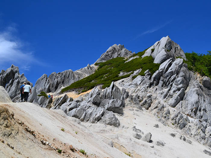
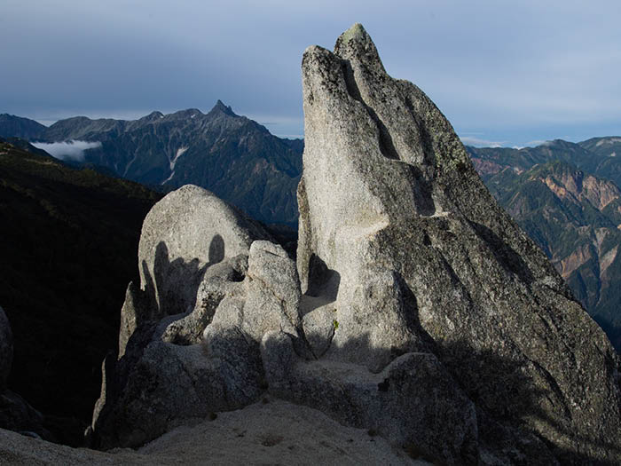
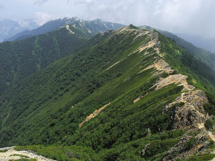
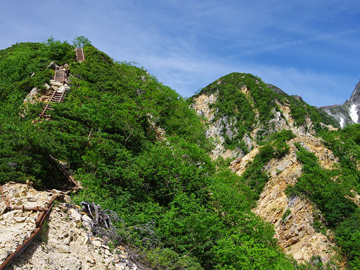
Please walk on the ridgeline from Mt. Tsubakuro-dake to Mt. O-tensyou-dake. This trail is fairly flat with fewer ups and downs and Dicentra can be spotted along the trail. After passing through giant Geero-iwa Rock, the trail enters into a sparsely grown woody area. A field on the slope on the East side will be covered with flowers. Pass by Tameemon-no-tsuriiwa then walk through Betula emani forest. You will arrive at a ridgeline made of granite where beautiful Alpine plants are found. Kiritooshi-iwa is located at the base of Mt. O-tensyou-dake. Use chains to climb down to a saddle, where a relief of Kisaku Koabayashi, a developer of Kisaku-shindou, can be viewed.
Kisaku-shindou junction will be reached after a short climb up from the saddle. Most hikers walking along the ridgeline from mountain to another choose this trail. The summit of Mt. O-tensyou-dake is reached from the junction through the steep slope.
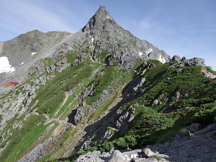
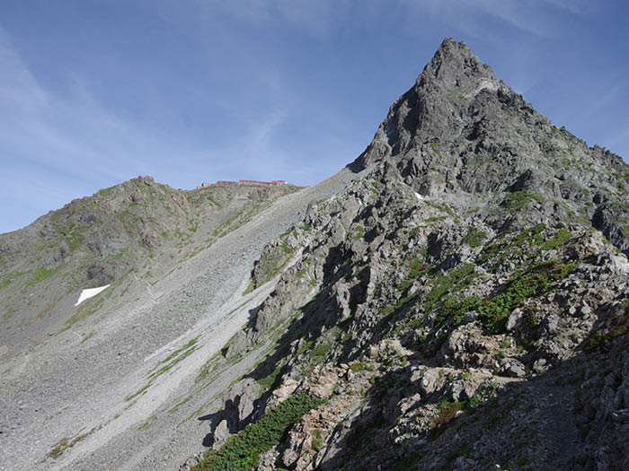
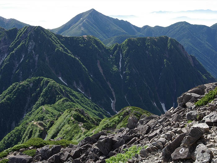
Kisaku-shindou passes through the Northern slope of Mt. O-tenshou-dake. From the point where the trail crosses over the branch ridgeline it descends down. O-tensyo Mountin hut will be reached shortly. This hut is located at the middle point between Mt. Tsubakuro-dake and Mt.Yari-gatake. Take a trail to Mt. Ushikubi-yama to another saddle. The view of the rocky ridgeline from Kitakama o’ne to Mt. Yari-gatake beyond Tensyo-sawa is phenomenal.
After passing a triangulation point of Mt. Akaiwa-dake, the trail becomes a narrow rocky ridgeline. The summit of Mt. Nishi-dake is reached at the end of this trail.
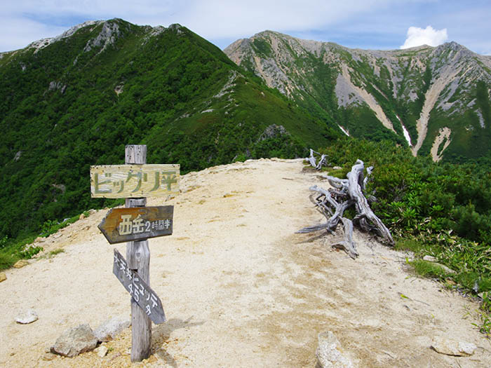
From Mt. Nishi-dake Mountain hut, hike down to Minamata-nokkoshi then hike up again from the saddle. The trail enters Higashi-kama o’ne. From the graveled trail, enter a sparsely grown woody area and continue on to the rocky trail with the use of ladders and chains. You will arrive at O-yari Mountain hut; here, the view is clearer on the Yari-sawa side.
A stay for the night at O-yari Mountain hut is recommended. Please start early the next day. After a short climb, the trail goes off the ridgeline and continues to climb a large slope up on the Yari-sawa side. Yari-no-kata will be reached shortly.
From here, head out to Mt. Yari-gatake using ladders and chains. It is a narrow summit but the view is fantastic. There are no hazardous points on the descending route but caution must be employed.