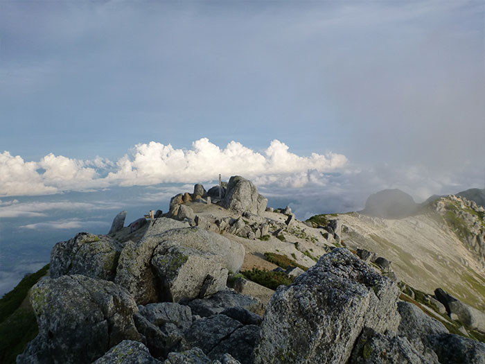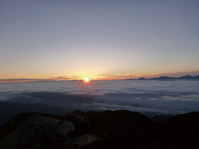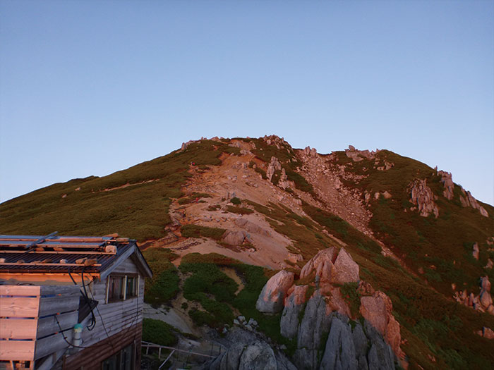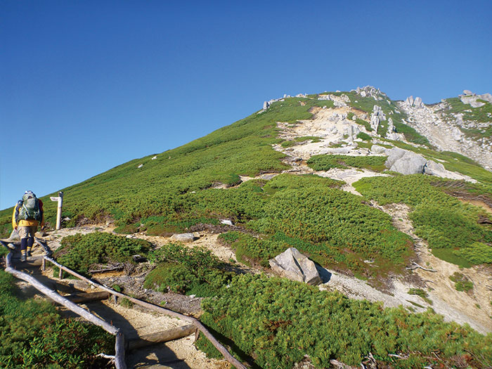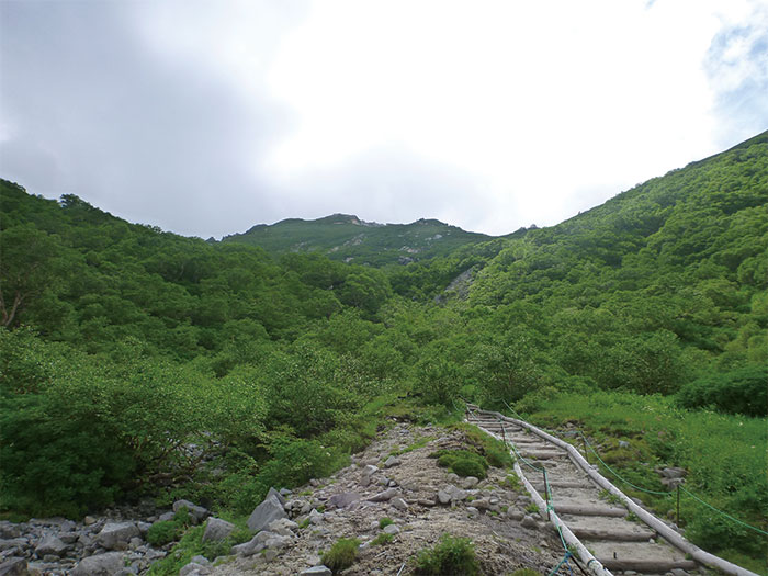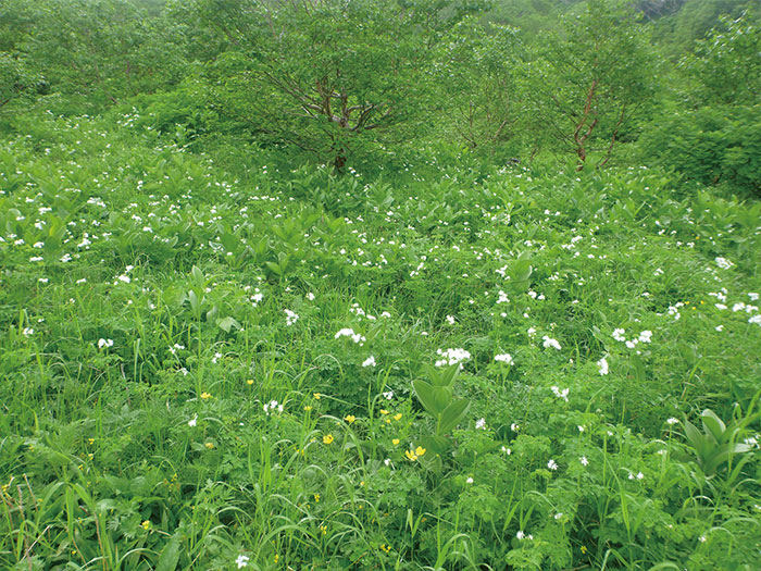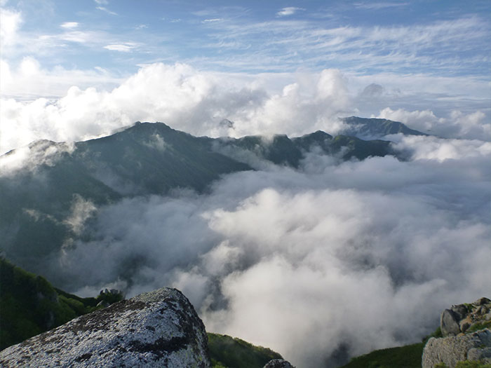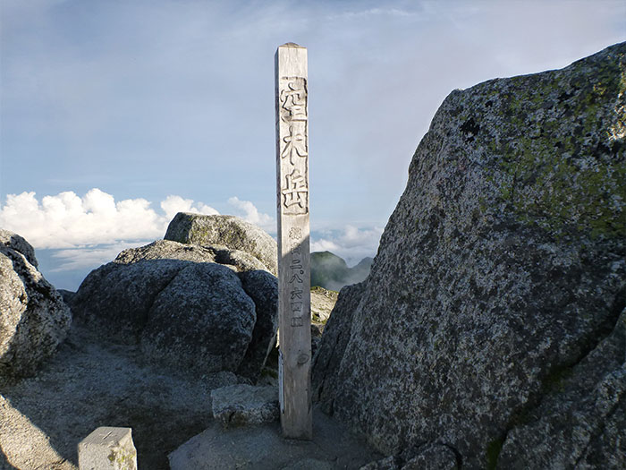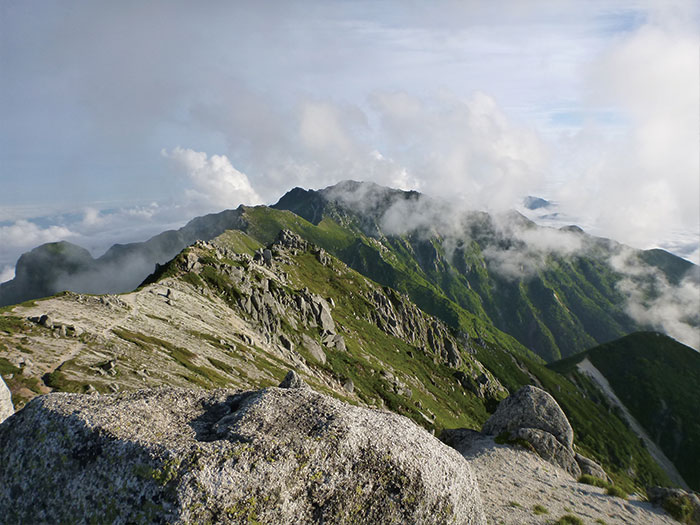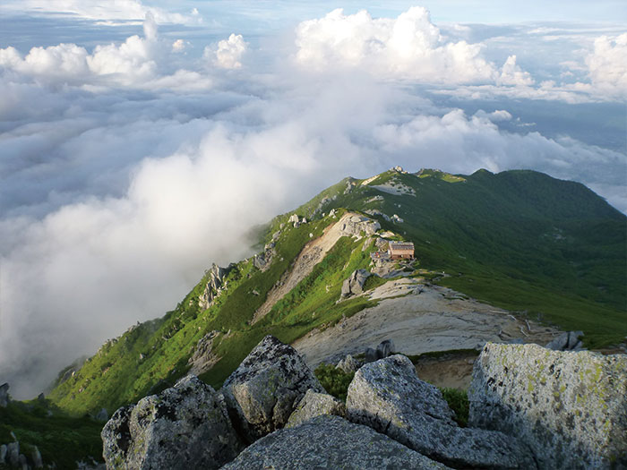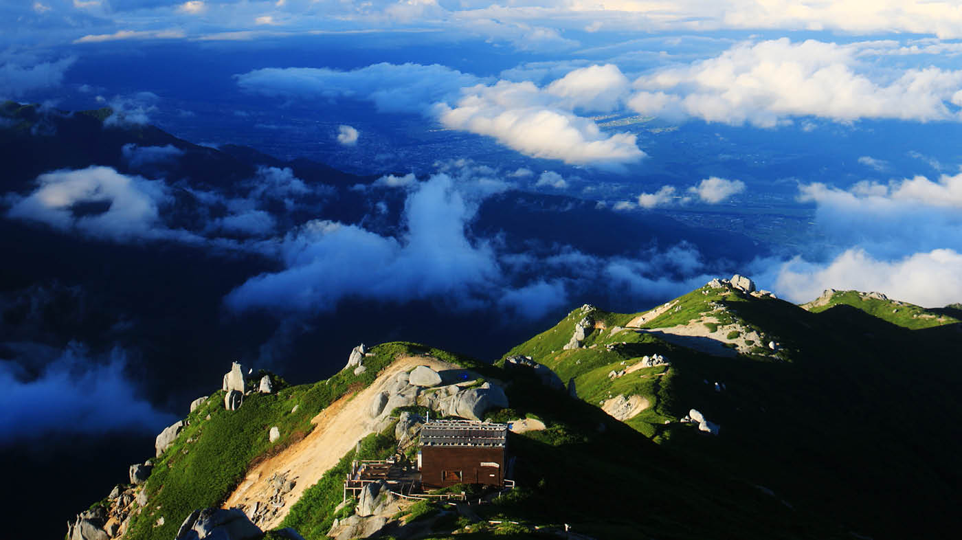
This mountain locates at the center of the Central Japan Alps. The elevation is 2,864 m. The main ridgeline starting from Mt. Kisokoma-gatake heading south runs through the summit of Mt. Utsugi-dake. There are a few routes to the summit. The main course is the one from Komagane plateau. Mt. Utsugi-dake is also known as the three big rocky peaks of the Central Japan Alps with Mt. Houken-dake and Mt. Sengai-rei. The shape is wild and masculine. Granite around the summit has faded seriously and the trails are graveled. Utugi-daira, where Utsugi-daira emergency shelter stands, locates in a snow field area between Ikeyama o’ne and Maruyama o’ne. This place is known for the beauty of hygrophyte in bloom for the summer season.
Mt. Utsugi-dake: Elevation 2,864 m
The route from Komogane Plateau and another route from Mt. Kiso-koma-gatake are introduced here. If you follow these courses as introduced, there should not be any danger. However, if you go beyond Mt. Utsugi-dake towards the south, there is no descending route towards Komagane area. You need to be careful. In addition, a trail from Mt. Kosumo-yama to Mt. Anpeiji-yama is covered by deep bamboo leaves and there are many fallen trees along the trail, which make it hard for beginners to hike through. If this part of the trail were better maintained, more hikers might visit this mountain more often. As of June 2019, Ptamigans have been found here for the first time in over 50 years and hopes for the birth of Ptamigans have risen. This good news may raise one’s interest in the Central Japan Alps.
Trailhead vicinity weather
Weekly weather forecast zone:Central Nagano Prefecture
| DAY | WEATHER | LOWEST | HIGHEST |
|---|---|---|---|
| 2/27 | 2℃ | 17℃ | |
| 2/28 | 2℃ | 13℃ | |
| 3/1 | 0℃ | 11℃ | |
| 3/2 | 0℃ | 15℃ | |
| 3/3 | 3℃ | 12℃ | |
| 3/4 | 2℃ | 10℃ |
This is a publication of the calculated figures for weather predictions and is not the weather forecast. There are instances where there will be big differences in the values stated for the mountains, in accord with the topography as well as sunlight, etc. so please take care.
72 hours weather information:Ako, Komagane City, Nagano Prefecture, at the end of the Ikeyama Forest Road, at the trailhead for Mt. Sorakidake (Ikeyama Forest Road endpoint marker)
| Date and time |
2/27 0:00 |
2/27 1:00 |
2/27 2:00 |
2/27 3:00 |
2/27 4:00 |
2/27 5:00 |
2/27 6:00 |
2/27 7:00 |
2/27 8:00 |
2/27 9:00 |
2/27 10:00 |
2/27 11:00 |
2/27 12:00 |
2/27 13:00 |
2/27 14:00 |
2/27 15:00 |
2/27 16:00 |
2/27 17:00 |
2/27 18:00 |
2/27 19:00 |
2/27 20:00 |
2/27 21:00 |
2/27 22:00 |
2/27 23:00 |
2/28 0:00 |
2/28 1:00 |
2/28 2:00 |
2/28 3:00 |
2/28 4:00 |
2/28 5:00 |
2/28 6:00 |
2/28 7:00 |
2/28 8:00 |
2/28 9:00 |
2/28 10:00 |
2/28 11:00 |
2/28 12:00 |
2/28 13:00 |
2/28 14:00 |
2/28 15:00 |
2/28 16:00 |
2/28 17:00 |
2/28 18:00 |
2/28 19:00 |
2/28 20:00 |
2/28 21:00 |
2/28 22:00 |
2/28 23:00 |
3/1 0:00 |
|---|---|---|---|---|---|---|---|---|---|---|---|---|---|---|---|---|---|---|---|---|---|---|---|---|---|---|---|---|---|---|---|---|---|---|---|---|---|---|---|---|---|---|---|---|---|---|---|---|---|
| Weather | |||||||||||||||||||||||||||||||||||||||||||||||||
| Temperature | 2℃ | 2℃ | 2℃ | 2℃ | 2℃ | 2℃ | 1℃ | 1℃ | 1℃ | 3℃ | 5℃ | 6℃ | 7℃ | 7℃ | 7℃ | 8℃ | 7℃ | 6℃ | 5℃ | 4℃ | 4℃ | 3℃ | 3℃ | 2℃ | 2℃ | 2℃ | 2℃ | 1℃ | 2℃ | 1℃ | 1℃ | 1℃ | 2℃ | 2℃ | 4℃ | 5℃ | 5℃ | 6℃ | 7℃ | 6℃ | 5℃ | 4℃ | 2℃ | 0℃ | -1℃ | -2℃ | -3℃ | -3℃ | -3℃ |
| Precipitation | 0mm/h | 0mm/h | 0mm/h | 0mm/h | 0mm/h | 0mm/h | 0mm/h | 0mm/h | 0mm/h | 0mm/h | 0mm/h | 0mm/h | 0mm/h | 0mm/h | 0mm/h | ※ 16時間以降は表示されません | |||||||||||||||||||||||||||||||||
| Wind direction |
east-northeast 1m/s |
east-northeast 1m/s |
east-northeast 1m/s |
east-northeast 1m/s |
east-northeast 1m/s |
east-northeast 1m/s |
east-northeast 2m/s |
east-northeast 1m/s |
east-northeast 1m/s |
east-northeast 1m/s |
0m/s |
0m/s |
east-northeast 1m/s |
0m/s |
0m/s |
east-northeast 1m/s |
east-northeast 1m/s |
east-northeast 2m/s |
east-northeast 2m/s |
east-northeast 2m/s |
east-northeast 1m/s |
east-northeast 1m/s |
east-northeast 1m/s |
0m/s |
east-northeast 1m/s |
0m/s |
0m/s |
east-northeast 1m/s |
east-northeast 1m/s |
east-northeast 1m/s |
east-northeast 1m/s |
east-northeast 1m/s |
east-northeast 2m/s |
east-northeast 2m/s |
east-northeast 2m/s |
east-northeast 2m/s |
east-northeast 2m/s |
east-northeast 2m/s |
east-northeast 2m/s |
east-northeast 2m/s |
east-northeast 2m/s |
east-northeast 2m/s |
east-northeast 2m/s |
east-northeast 2m/s |
east-northeast 2m/s |
east-northeast 2m/s |
east-northeast 2m/s |
east-northeast 1m/s |
east-northeast 1m/s |
※The weather information will be information on 5km square including the relevant point.
※天気予報マークは一次細分区域から表示しています
Route Information
A-Basic course sorted by trailheads
From Suganodai Bus Center
B‐Variation course sorted by experience and physical strength
From Mt. Kiso-koma-gatake
-
Hinokio-dake Traverse Route
②Senjo-jiki ~ Mt. Kiso-koma-gatake ~ Mt. Houken-dake ~ Mt. Hinokio-dake ~ Kisodono-sanso Mountain hut ~ Mt. Utsugi-dake ~ Komaishi ~ Mt. Ike-yama ~ Suganodai Bus Center (Difficulty level: ⛰️⛰️⛰️) -
Central Alps Traverse Route
③Temporary Trailhead ~ Ina-gawa Dam Trailhead ~ Kanazawa-doba ~ Kisodono-koshi ~ Mt. Utsugi-dake ~ Mt. Minami-koma-gatake ~ Mt. Kosumo-yama ~ Fukutochi Bridge ~ Ina-gawa Dam Trailhead ~ Temporary Trailhead (Difficulty level: ⛰️⛰️⛰️⛰️)
