Nakabusa Onsen Route
Nakabusa Onsen Hot Spring Mt. Tsubakuro-dake Trailhead ~ the 2nd bench ~ Kassen-koya Mountain Hut ~ Tsubakuro-sanso Mountain Hut ~ Kassen-koya Mountain Hut ~ Nakabusa Onsen Hot Spring Mt. Tsubakuro-dake Trailhead
Technical level: B
Physical strength: 4
Difficulty: ★★
Approach via Kassen O’ne, one of three steepest slopes in the North Japan Alps. Along this ridgeline, there are benches at a decent distance so that you can hike fairly easily despite the steepness.
Access to Nakabusa Onsen Hot Spring
●Hiking Data
Schedule: One day or one night and two days
Walking hours: 7 hours 10 minutes
(Up: 4 hours 15 minutes Down: 2 hours 55 minutes)
Walking distance: 10 km
Cumulative elevation difference: 1,427 m
Nakabusa Onsen Hot Spring Mt. Tsubakuro-dake Trailhead

Elevation 1,450m
↓ 55 minutes
the second bench
Elevation 1,840m
↓ 1 hour 20 minutes
Kassen-koya Mountain Hut
Elevation 2,350m
↓ 1 hour 30 minutes
Tsubakuro-sanso Mountain Hut
Elevation 2,704m
↓ 30 minutes
Mt. Tsubakuro-dake
Elevation 2,763m
↓ 25 minutes
Tsubakuro-sanso Mountain Hut
Elevation 2,704m
↓ 50 minutes
Kassen-koya Mountain Hut
Elevation 2,350m
↓ 1 hour 40 minutes
Nakabusa Onsen Hot Spring Mt. Tsubakuro-dake Trailhead
Elevation 1,450m
Route Guide
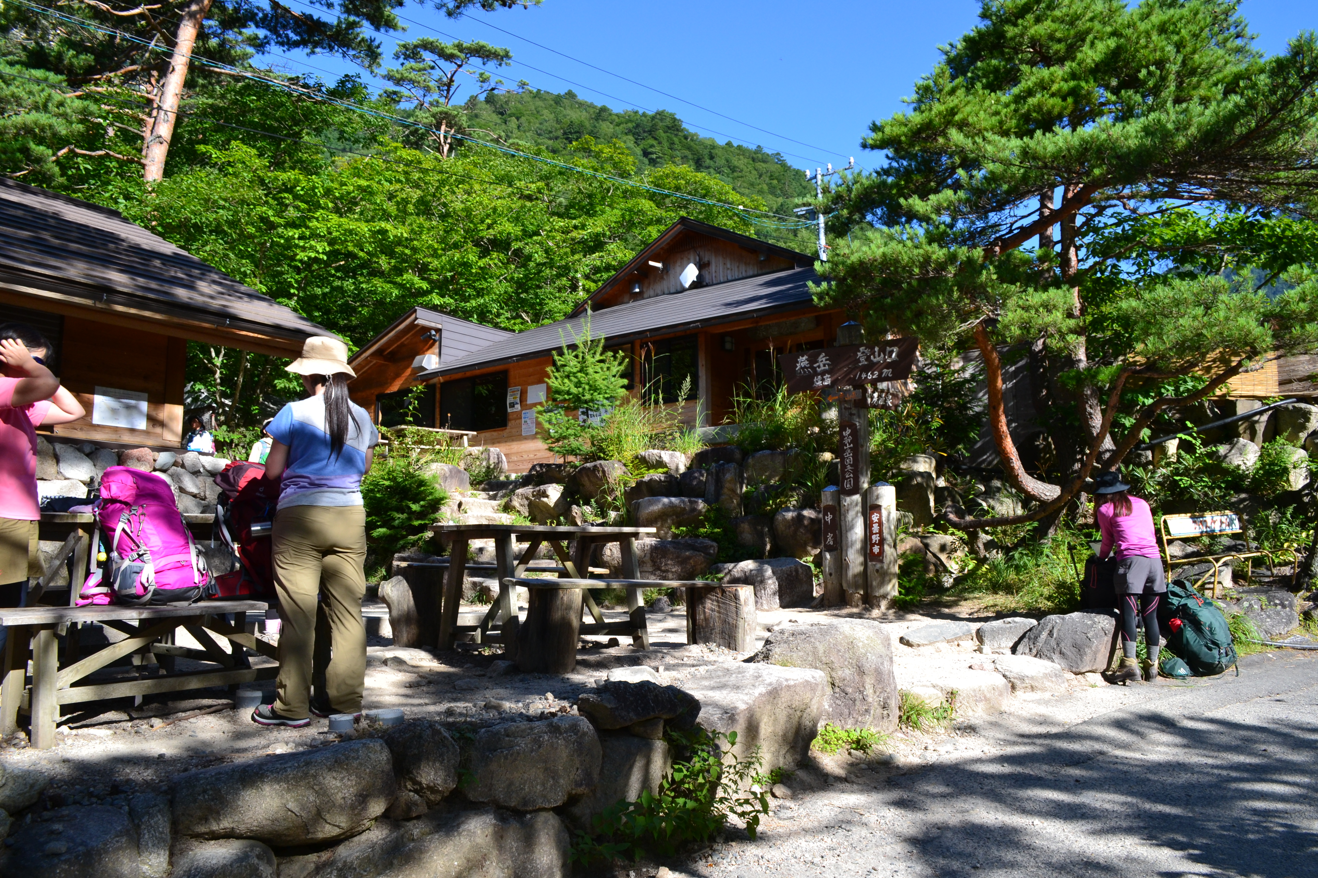
The trailhead is located just at the bus stop of Nakabusa Onsen hot spring. Pass by the onsen hot spring facilities of Nakabusa Onsen hot spring and the front of Yubara-no-yu and enter into the forest zone. The trail shortly becomes steep. Climb at a breathing pace. Pass areas where short ladders or long stairs are in place. After those areas, the slope becomes less steep. Be careful not to slip in the area where the trail is gorged. The first bench will be reached shortly. A place to replenish your water supply is available just off the trail. Rest while standing then depart. Follow the road sign “4.5 km to Tsubakuro-sanso Mountain Hut”. The trail becomes steep through the forest zone. There are steps along the trail, however, if you climb at a steady pace, you can surely gain altitude. When tired, rest while standing.
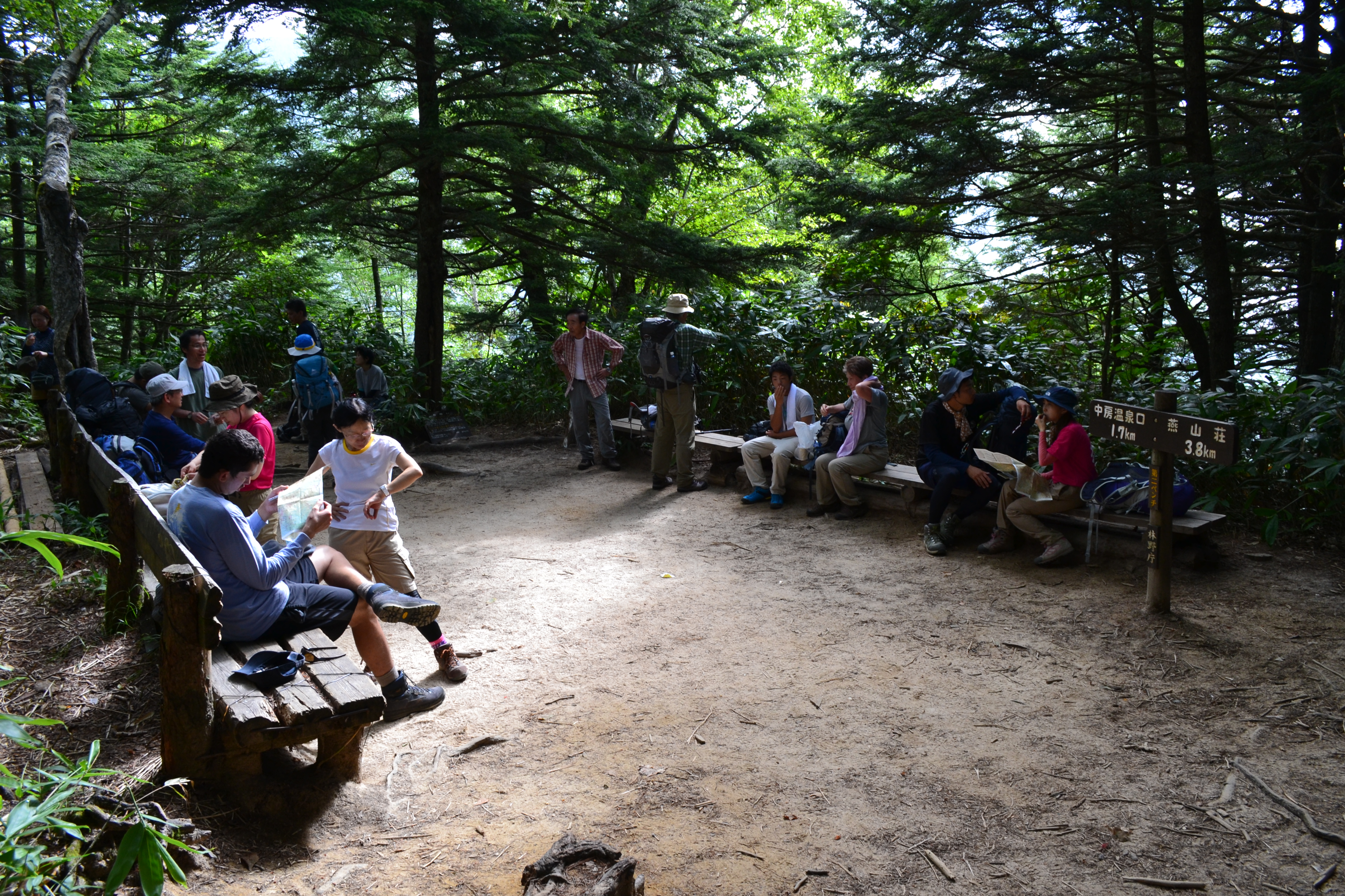
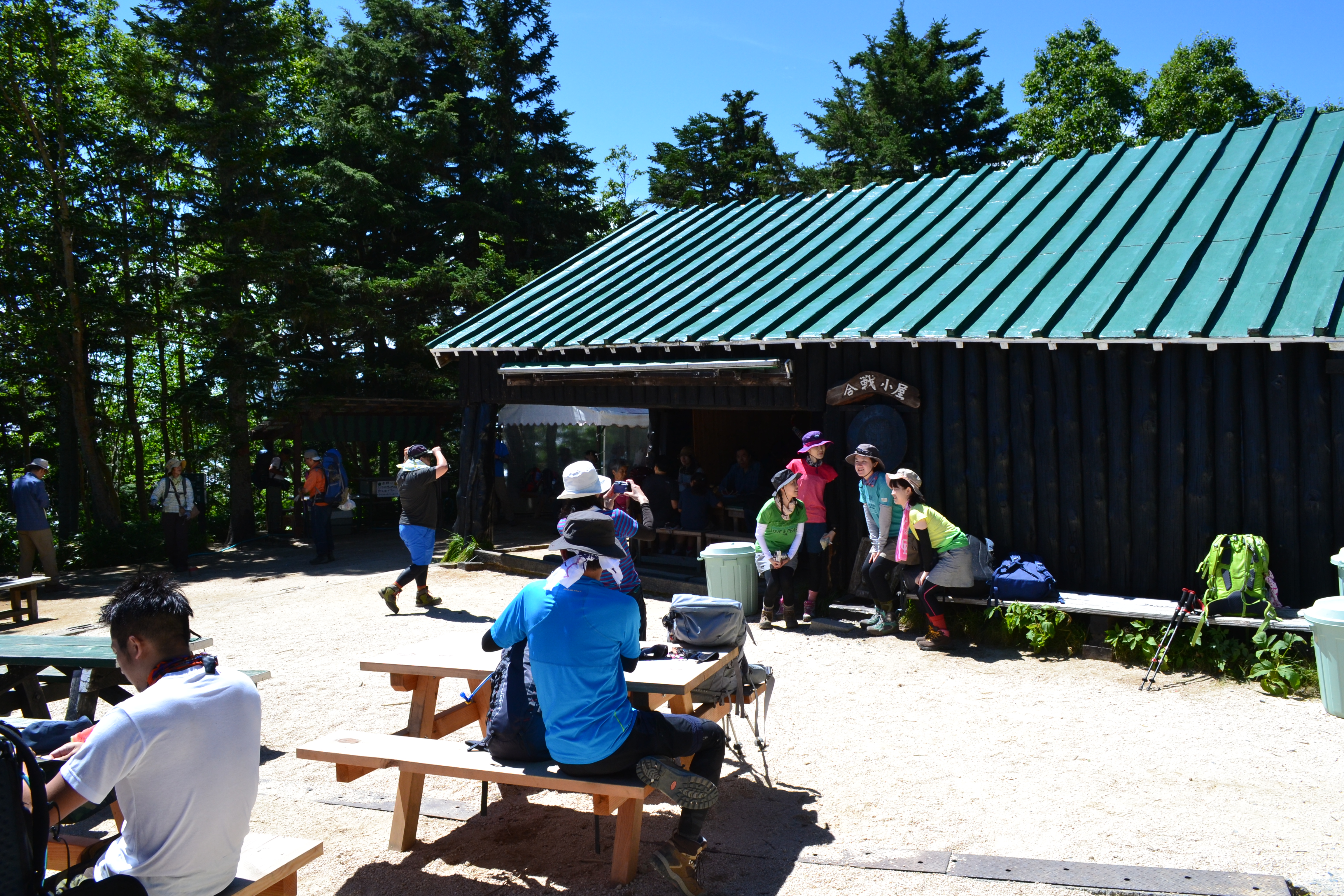
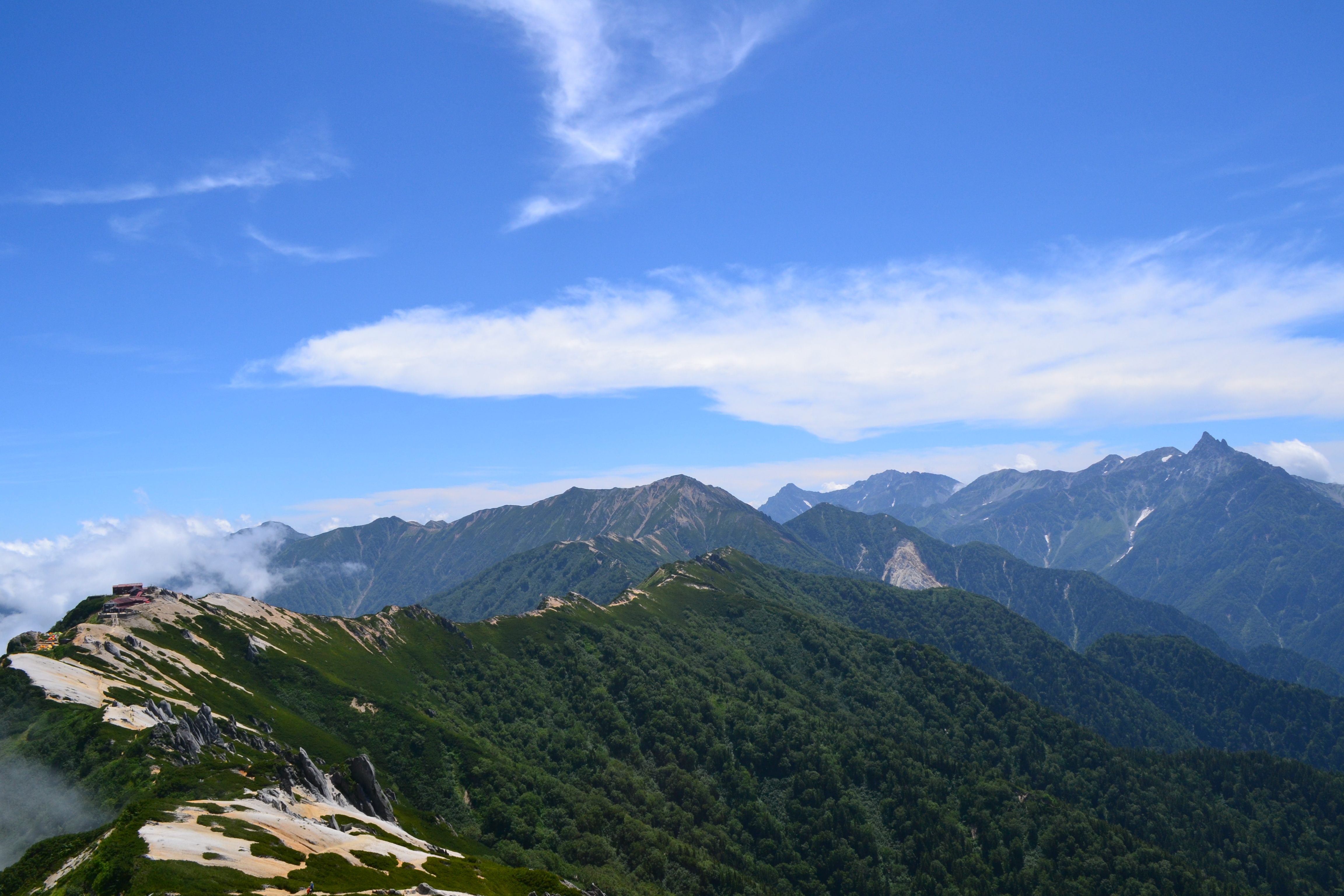
When you pass the side of the steel tower of the cable for loading goods, the second bench will be reached shortly. The bench is placed on an open plateau. Rest for a while. However, you should depart again before your body cools down. After passing this spot, the road sign “3.8 km to Tsubakuro-sanso mountain hut” stands on the trail. The trail will be covered by tree roots. Try not to step on them as much as possible. After passing the zone, the trail takes wide turns in a zigzag pattern. Climb log steps then the third bench will be reached, where the road sign “2.8 km to Tsubakuro-sanso mountain hut” stands. There is another bench one step above, however, you should hurry to the hut. The trail will be surrounded by granite. It becomes slippery when wet. Caution must be practiced in that case. The view opens up slightly. After the long steps, the trail goes into a zigzag pattern. When you begin to hike on the granite plateau, Fujimi bench will be reached. Pass that bench as well. When the ridgeline of Mt. O-tenshou-dake appears in sight, Kassen-koya mountain hut will be reached shortly. This is only for resting and not for an overnight stay. It is a resting hut well known for serving watermelon.
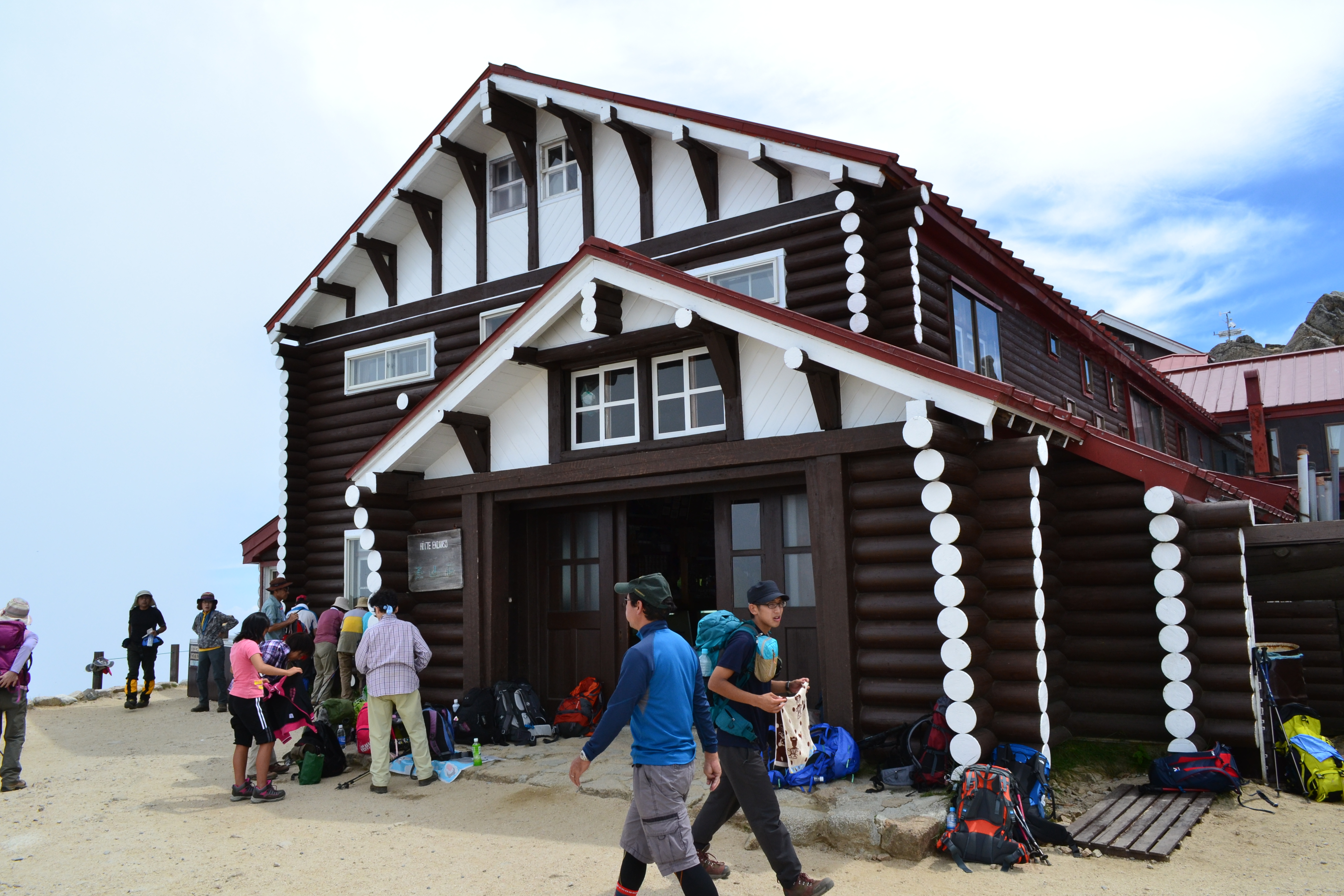
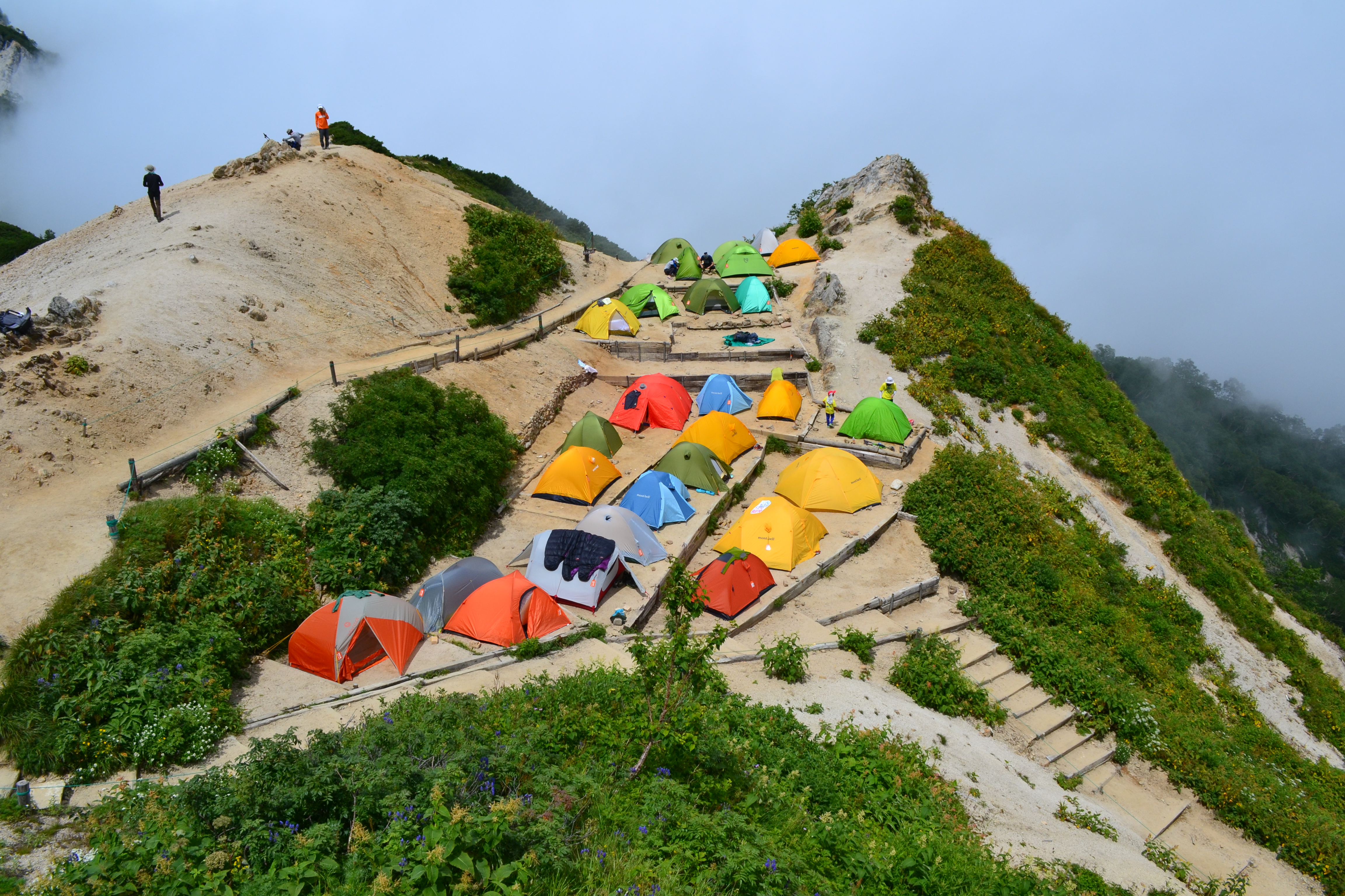
Departing the hut, Mt. O-tensyou-dake or Mt. Yari-gatake can be seen on the left. On the sunny plateau, you will find the road sign “2.3 km to Tsubakuro-sanso mountain hut”. Climb straight up and pass the zone, using chains. Tsubakuro-sanso mountain hut and the summit of Mt. Tsubakuro-dake will appear into sight. Climb at a steady pace till you enter the camping site. Take the stairs on the left up to Tsubakuro-sanso mountain hut.
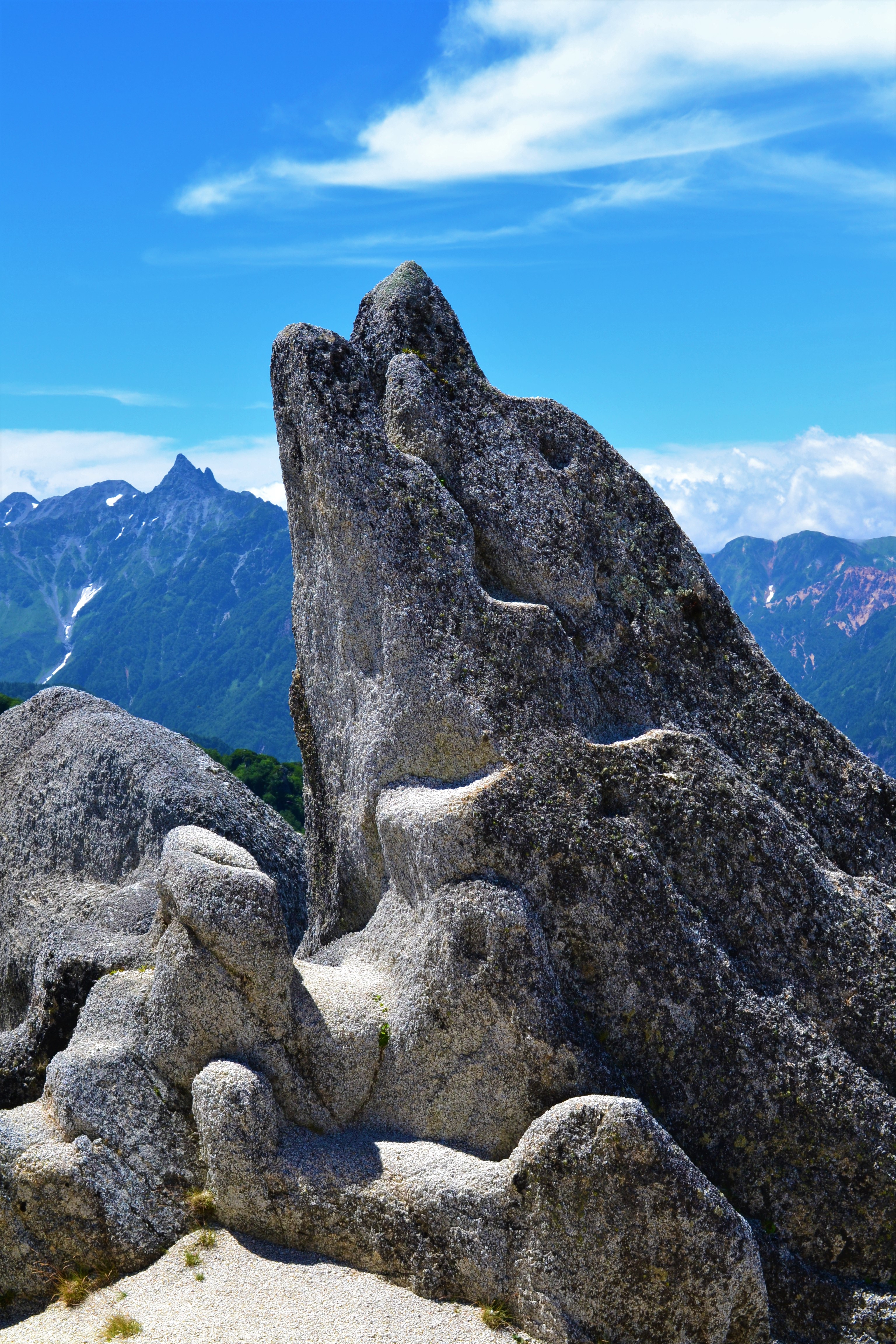
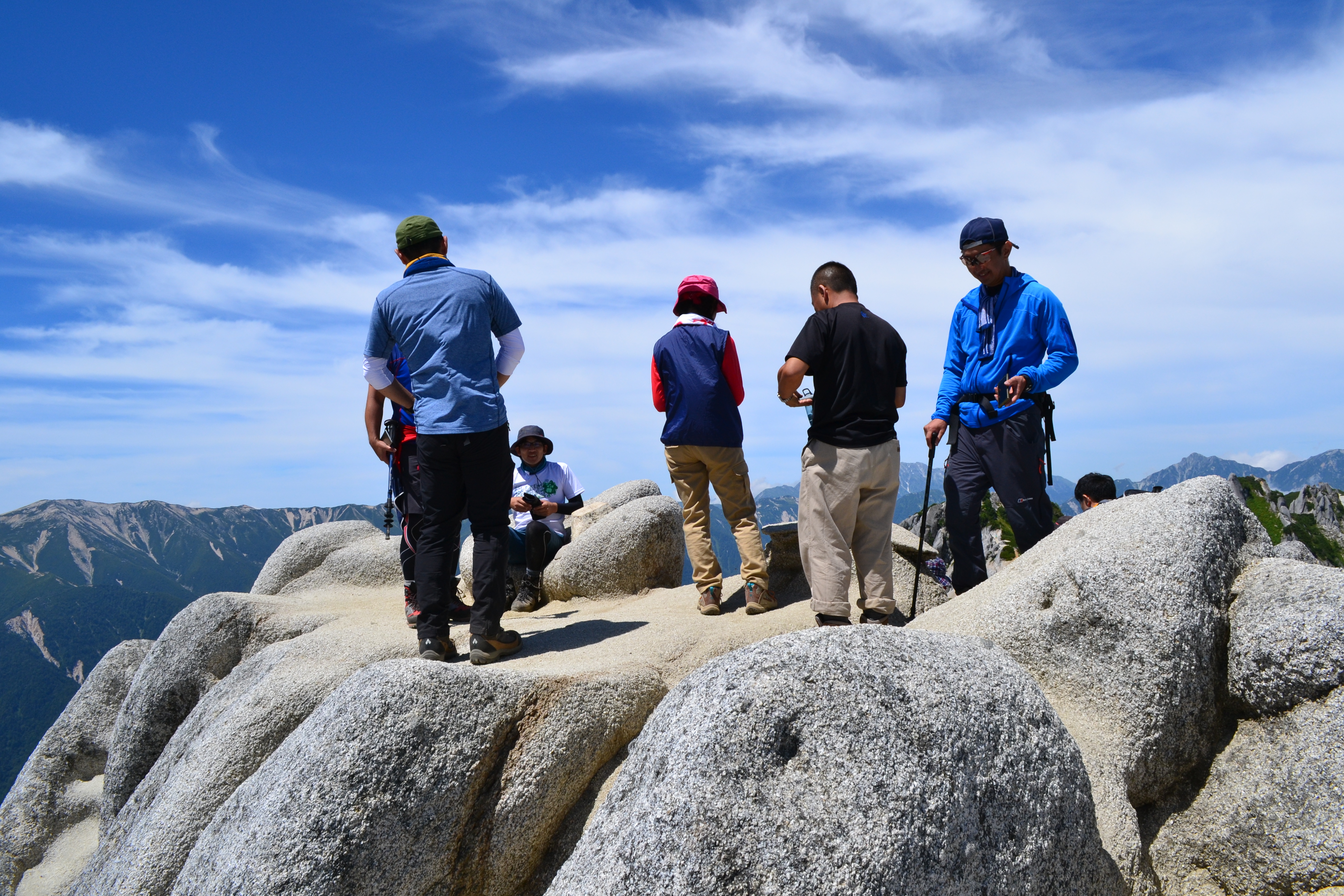
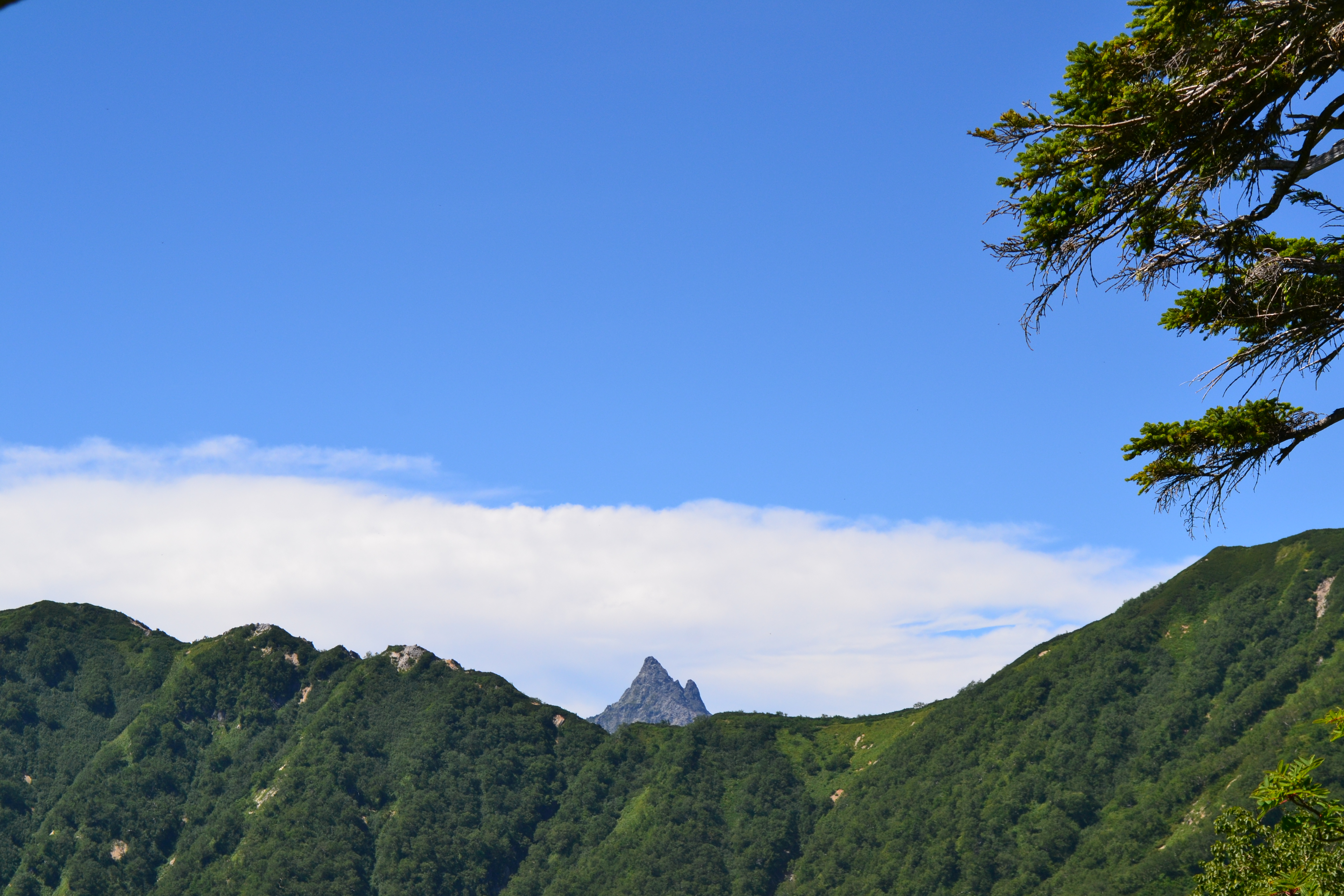
From Tsubakuro-sanso mountain hut, follow the ridgeline northward. The summit is about 1 km away. Along the trail, you can see Mt. Yari-gatake and mountains in the southern area of the North Japan Alps. You can also observe pretty Dicentra along the trail. The contrast of the granite and Pinus Pumila is beautiful. There is a huge rock of a unique shape standing. It is the famous “Iruka-iwa” (“Dolphin Rock” in English). It does really look like a dolphin. In the background, the Omote-ginza route from Tsubakuro-sanso mountain hut to Mt. O-tensyou-dake spreads out. Climb through a bright trail piled with uniquely-shaped rocks, then the summit of Mt. Tsubakuro-dake will be reached. It is a sharp and narrow summit; however, the great view of the North Japan Alps will take your breath away. Descend the same route used for ascending.