Iroudo Route
②Shibasawa gate ~ Iroudo ~ Uma-no-se ~ Mt. Irou-dake ~ Mt. Tekari-dake ~ Mt. Irou-dake ~ Uma-no-se ~ Iroudo ~ Shibasawa gate
Technical level: B
Physical Strength level: 7
Difficulty level: ⛰️⛰️⛰️⛰️
The quickest route to the summit of Mt. Tekari-dake from Shibasawa-gate is introduced here.
Access to Iroudo from Shibasawa
●Hiking Data
Schedule: 1night or 2nights
Walking hours: 17 hours 45 minutes
(Up: 10 hours 20 minutes/Down 7 hours 25 minutes)
Walking distance: 24.6 km
Variance in elevation: 2,681 m
Shibasawa gate
Elevation 710m
↓ 1hour 30 minutes
Iroudo
Elevation 880m
↓ Iroudo
Uma-no-se
Elevation 2,100m
↓ Uma-no-se
Mt. Irou-dake

Elevation 2,354m
↓ Mt. Irou-dake
Miyoshi-daira
Elevation 2,200m
↓ Miyoshi-daira
Mt. Izaru-ga-take
Elevation 2,540m
↓ 10 minutes
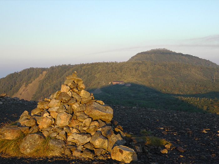
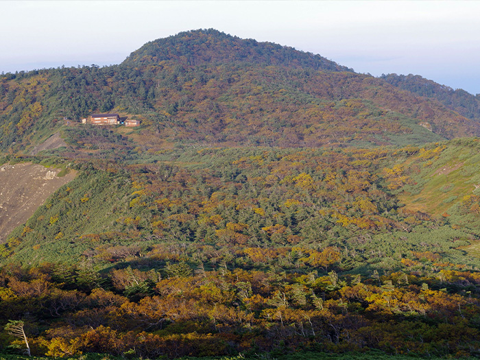
Tekari-dake-koya Mountain hut
Elevation 2,535m
↓ 30 minutes
The summit of Mt. Tekari-dake (Tekari-ishi)
Elevation 2,591m
↓ 30 minutes
Tekari-dake-koya Mountain hut
Elevation 2,535m
↓ 2hours 20 minutes
Mt. Irou-dake
Elevation 2,354m
↓ 3 hours 35 minutes
Iroudo
Elevation 880m
↓ 1hour 30 minutes
Shibasawa gate
Elevation 710m
Route Guide
Start walking on a logging road from Shibasawa gate. It takes about 1 hour 30 minutes to Iroudo. It is a boring walk. A cyclist was seen once. He parked his bicycle at Iroudo then headed to Mt. Hijiri-dake. He brought a mini bicycle in his car. Whether i good or bad, it is the logical thing to do. He said he would climb to Mt. Hijiri-dake for one day. The logging road from Shibasawa gate to Iroudo is closed to cars due to a damage from a typhoon on of June, 2019.
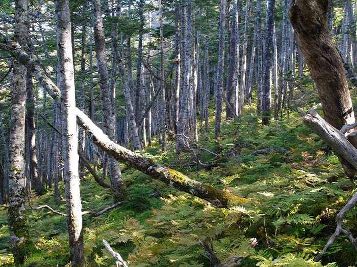
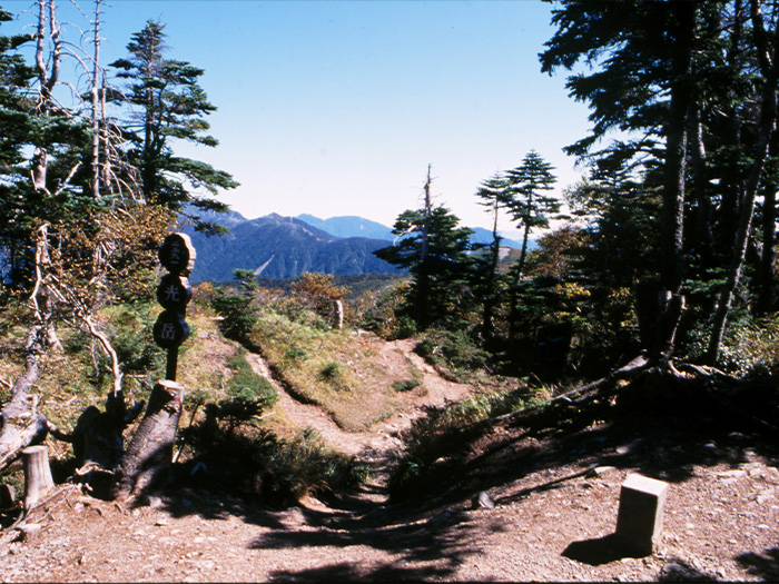
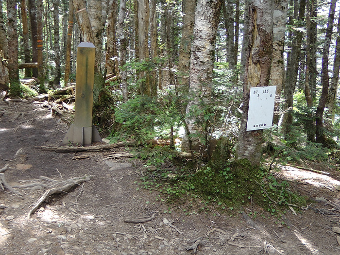
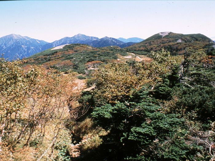
From Iroudo, the trail merges with a ridgeline. There is a series of steep slopes from the beginning. You may feel like you are doing hard work, however, the tree forests are so beautiful that you will not be bored. Omote-daira is reached when the steep slope evens out. It is a beautiful place with a coniferous forest. A big cherry tree is impressive. Take a short break and go back climbing through the forest zone again. A quiet and deep forest shows the true character of the South Japan Alps. Pass a zone with fallen trees on the trail, while enjoying an occasional view of Mt. Hijiri-dake. The peak with a 2,254 m altitude is reached after the forest zone. Mt. Irou-dake is reached after about 30 minutes. It is hard to locate the summit due to the flatness of the mountain. The triangulation point is located in a recessed area. Take a longer break since you would already have walked for 7 hours by this point.
Start walking on a logging road from Shibasawa gate. It takes about 1 hour 30 minutes to Iroudo. It is a boring walk. A cyclist was seen once. He parked his bicycle at Iroudo then headed to Mt. Hijiri-dake. He brought a mini bicycle in his car. Whether i good or bad, it is the logical thing to do. He said he would climb to Mt. Hijiri-dake for one day. The logging road from Shibasawa gate to Iroudo is closed to cars due to a damage from a typhoon on of June, 2019.
From Iroudo, the trail merges with a ridgeline. There is a series of steep slopes from the beginning. You may feel like you are doing hard work, however, the tree forests are so beautiful that you will not be bored. Omote-daira is reached when the steep slope evens out. It is a beautiful place with a coniferous forest. A big cherry tree is impressive. Take a short break and go back climbing through the forest zone again. A quiet and deep forest shows the true character of the South Japan Alps. Pass a zone with fallen trees on the trail, while enjoying an occasional view of Mt. Hijiri-dake. The peak with a 2,254 m altitude is reached after the forest zone. Mt. Irou-dake is reached after about 30 minutes. It is hard to locate the summit due to the flatness of the mountain. The triangulation point is located in a recessed area. Take a longer break since you would already have walked for 7 hours by this point.