Oku-dainichi-dake Route
Syomyo Fall Bus Stop ~ Mt. Dainichi-dake ~ Mt. Oku-dainichi-dake ~ Bessan-nokkoshi ~ Mt. Bessan ~ Mt. Onanji-yama ~ Mt. O'yama ~ Murodo
Technical level: B
Physical strength level: 7
Difficulty level: ⛰️⛰️⛰️⛰️
Enjoy a dynamic mountain walk from Mt. Dainichi Three mountains to Mt. Tate-yama. Mt. Dainichi Three mountains are known as guarding peaks, standing in front of the famous mountains as if to guard them..
●Hiking Data
Schedule: Two nights three days
Walking hours: 15 hours 35 minutes
(Up: 13 hours 5 minutes/ Down: 2 hours 30 minutes)
Walking Distance: 22.5 km
Difference in elevation: 3,076m
Syomyo Fall Bus Stop

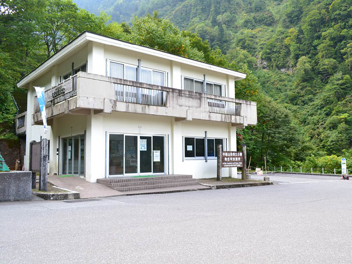
Elevation 970m
↓ 3 hours 10 minutes
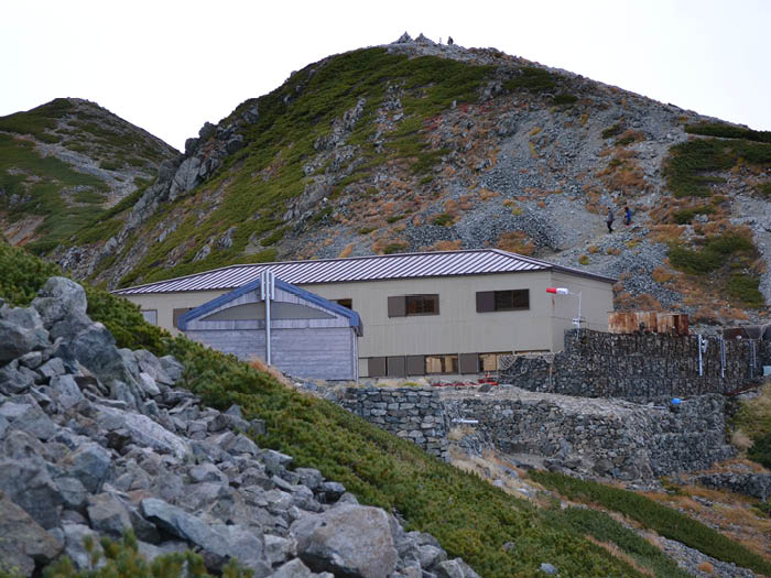
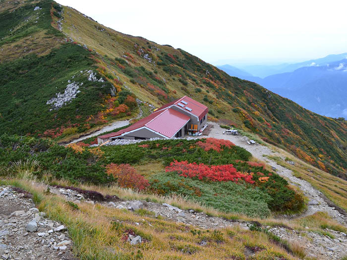
Dainichi-daira sanso Mountain hut
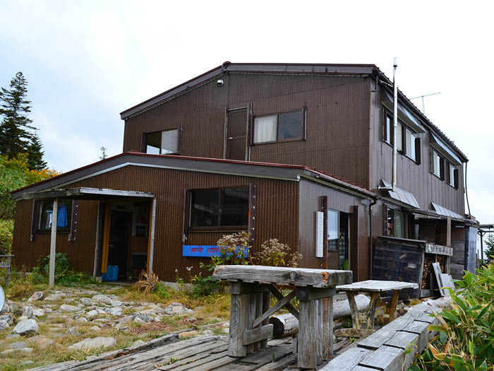
Elevation 1,800m
↓ 2 hours 50 minutes
Mt. Dainichi-dake
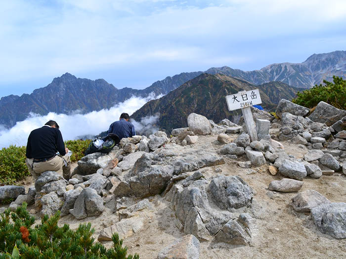
Elevation 2,498m
↓ 2 hours 15 minutes
Mt. Oku-dainichi-dake
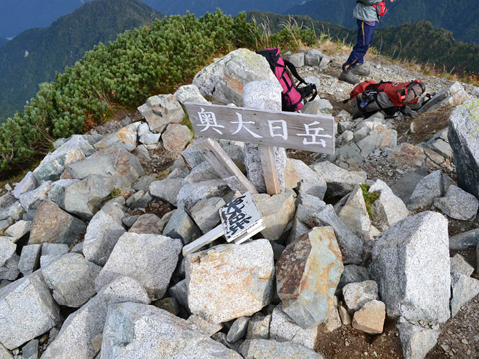
Elevation 2,606m
↓ 3 hours
Bessan-nokkoshi
Elevation 2,750m
↓ 35 minutes
Mt. Bessan
Elevation 2,874m
↓ 2 hours 15 minutes
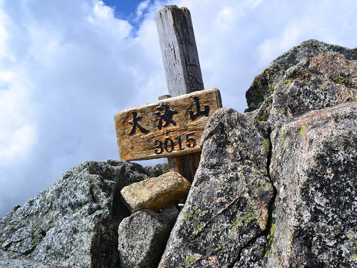
Mt. O'yama
Elevation 3,003m
↓ 40 minutes
Ichi-nokoshi
Elevation 2,705m
↓ 50 minutes
Murodo
Elevation 2,420m


Route Guide
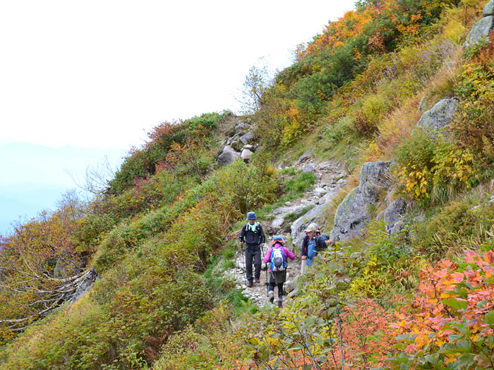
Use a bus service from Tateyama Station to Syomyo Fall bus stop. Follow the pavement to Mt. Dainichi-dake trailhead. A steep slope begins from the trailhead. Pay attention to the rough trail and walk at a steady pace. Extreme caution needs tobe employed at the curved stone stairs to avoid a fall and slipping. Soon Ushikubu isreached and a boardwalk begins shortly. From that point, you may find the trail comfortable to walk on. Dainichi-daira sansou Mountain hut appears in your direction.You can wait your turn to take a bath.
A swamp area, as registered in accordance with the Ramsar Convention is reached after passing Dainichi-daira sanso Mountain hut. The atmosphere resembles Oze on a smaller scale. Small water puddles formed in a swamp at the high altitude, and Watasuge colonies spread widely in the area. At the end of the boardwalk, you will arrive at a place to replenish your water supply. From that point, the trail begins to get rough with rocks. The trail becomes steep so it is recommended to take a break while standing. Dainichi sanso Mountain hut is reached and this is where the dirt road begins. Follow the left path to Mt. Dainichi-dake, where a great view of Mt. Tsurugi-dake can be enjoyed. After returning to the hut, follow the ridgeline to Mt. Oku-dainichi-dake. The summit is reached after passing Shichifuku-en garden, known for its beautiful autumn footage. Mt. Tsurugi-dake is standing right in front of you.
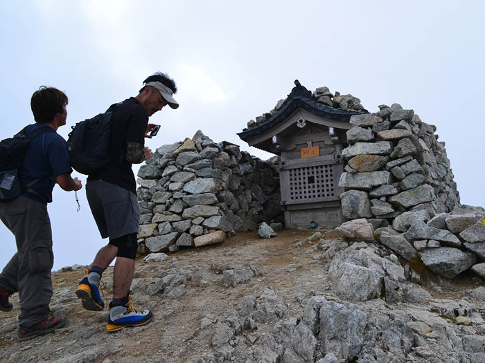
Proceed on the ridgeline while paying close attention to loose rocks and fallen rocks. Continue to hike from Murodou-nokkoshi to Shin-murodou-nokkoshi. Follow a zigzag path on the slope. Bessan-nokkoshi is reached where the slope becomes very steep. Tsurugi-gozen koya Mountain hut is located here. A great view of Mt. Tsurugi-dake spreads out in front of you. Take a ridgeline above the building to Mt. Bessan. Mt. Tsurugi-dake is located on your left. The summit of Mt. Bessan is wide and it is a good lookout for Mt. Tsurugi-dake. A small shrine surrounded by stones is impressive.
Descend a graveled trail to Mt. Masago-dake. Pay attention to the cliff on your left side to avoid a fall. Passing Fujino-oritate, follow the graveled trail to Mt. O-nanji-yama, the highest mountain among Tateyama Mountains. The summit is narrow so that only one person can stand.
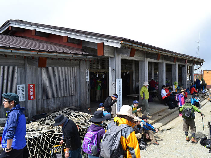
Continue the ridgeline carefully to Mt. O'yama. After paying respects to O'yama Shrine, descend the rocky slope to Ichi-nokoshi. Take a break at Ichi-nokoshi sanso Mountain hut and continue to descend the promenade to Murodo.