Murodo loop Route
Murodo ~ Mt. Joudo-san ~ Ichi-nokoshi ~ Mt. O-nanji-yama ~ Fujino-oritate ~ Mt. Masago-dake ~ Mt. Bessan ~ Bessan-nokkoshi ~ Raicho-sawa ~ Mikuriga-ike Onsen ~ Murodo
Technical level: B
Physical strength level: 4
Difficulty level: ⛰️⛰️
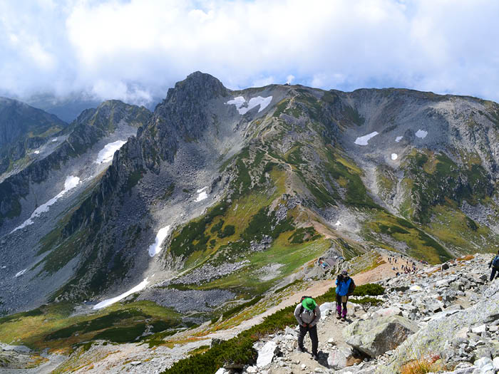
Enjoy hiking and the fantastic view from the ridgeline of Tateyama Three Mountains, Mt. Joudo-san, Mt. O’yama and Mt. Bessan. A ridgeline walk above the clouds can be enjoyed on this course.
●Hiking Data
Schedule: One night two days
Walking Distance: 8 hours (Up: 5 hours 40 minutes/Down 2 hours 20 minutes)
Walking Distance: 11.5 km
Difference in elevation: 1,340m
Murodo
Elevation 2,420m
↓ 1 hour 20 minutes
Ichi-nokoshi
Elevation 2,705m
↓ 1 hour
Fujino-oritate
Elevation 2,999m
↓ 35 minutes
Mt. Masago-dake
Elevation 2,861m
↓ 1 hour
Bessan-nokkoshi
Elevation 2,750m
↓ 1 hour 10 minutes
Raicho-sawa
Elevation 2,300m
↓ 1 hour
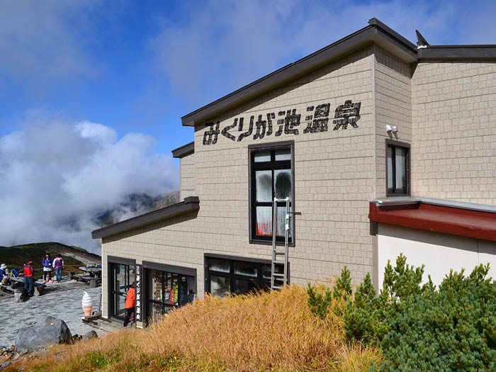
Mikuriga ike Onsen
Elevation 2,410m
↓ 10 minutes
Murodo
Elevation 2,420m
Route Guide
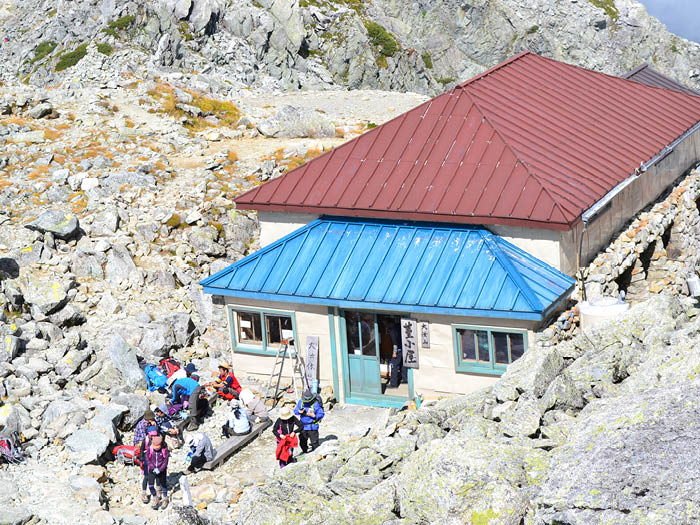
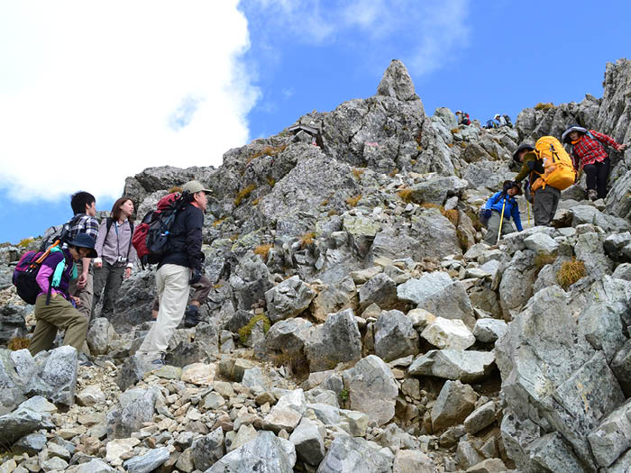
Head in direction of Mt. O'yama from the bus terminal where many tourists gather. The stone-paved trail continues and turns to the right in front of Murodo sansou Mountain hut towards Mt. Murodo-yama lookout. Hike up the slope with beautiful alpine plants till you come to a junction. Turn left at the junction and climb up the hill on a trail with big rocks. The north peak of Mt. Joudo-san summit is reached in about 30 minutes from the junction. Mt. Joudou-san has two peaks. The south peak is reached about 10 minutes from the north peak by ridgeline. The summit of Mt. O'yama can be spotted in front of you. Climb down the slope to Ichi-nokoshi, where Ichi-nokoshi sansou Mountain hut is located.
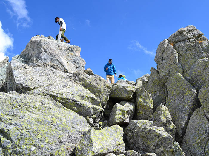
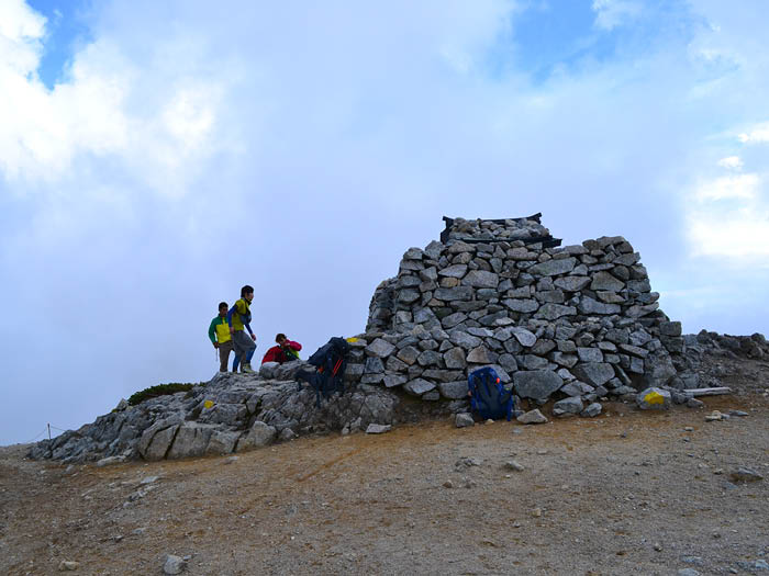
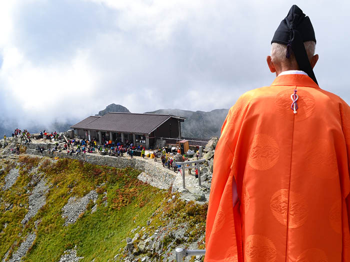
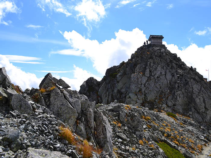
Climb up a very steep graveled slope from Ichi-nokoshi to Mt. O'yama, the main peak of Mt. Tate-yama. O'yama shrine stands at the summit. From the summit, follow the 3,000m high ridgeline to Mt. O-nanji-yama. The summit of Mt. O-nanji-yama is so small that only one person can stand on it. Take turns for a photoshoot. Climb down from the summit to O-nanji rest area and enjoy a little break. By following the ridgeline, the saddle before Fujino-oritate is reached. The silhouette of Fujino-oritate seen from the saddle looks like a gigantic mass of rocks. The trail to the summit includes a hazardous rocky zone so extreme caution needs to be employed. Most hikers do not climb the summit. They take a descending trail on the left from the saddle. It is a steep slope so climb down carefully.
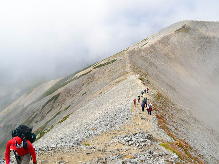
After descending from the saddle of Fujino-oritate, the trail becomes a graveled ridgeline with strong wind. Mt. Masago-dake is reached after passing this windy ridgeline. Proceed to Mt. Bessan.
Mt. Bessan is known as a lookout point for Mt. Tsurugi-dake. Take the ridgeline on the right for 10 minutes and the north peak of Mt. Bessan will be reached. Continue on a narrow ridgeline to Bessan-nokkoshi, which will be reached in about 30 minutes. This is a pass where Tsurugi-gozen koya Mountain hut stands. Many hikers from the direction of Mt. Dainichi-dake or hikers who are heading to Mt. Tsurugi-dake stay at this hut. A stay for a night at the hut and listening to visitor stories about Mt. Tsurugi-dake must be enjoyable.
From Bessan-nokoshi, hike down the Raicho-saka slope to Raicho-sawa. As the name of the trail says, families of Ptamigan can be spotted very often. The view of Tateyama Three mountains and Mt. Oku-dainichi-dake is phenomenal. Climb down at a steady pace with great caution. The slope is a very steep downhill. The camping site of Raicho-sawa will be reached at the bottom of the hill. Many hikers make this camping site their base and enjoy the summer of Tateyama Mountains. Head to Mikuriga ike onsen from Raicho-sawa. The spring is known as the highest altitude hot spring hut in Japan. It is recommended to visit the hot spring even if it’s just for one day. It takes about 10 minutes to Murodo. You also can enjoy spending some time at Mikuriga ike Pond.
