Araragi Route (ascend)-Uenohara route (descend)
Ogose 〜 Araragi trailhead 〜 Climbing and descending route junction 〜 Kabutoiwa 〜 Mt. Nagiso-dake summit 〜 Refuge hut (observatory) 〜 turning point 〜 Uenohara route trailhead 〜 Nagiso station
Technical level:B
Physical fitness level: 3
Difficulty: ★★
(Climbing Araragi route)
Nagiso-dake main route, the Araragi route, is approached and climbed from the Ogose bus stop using public transportation. Car users can go as close to the Araragi trailhead as possible.
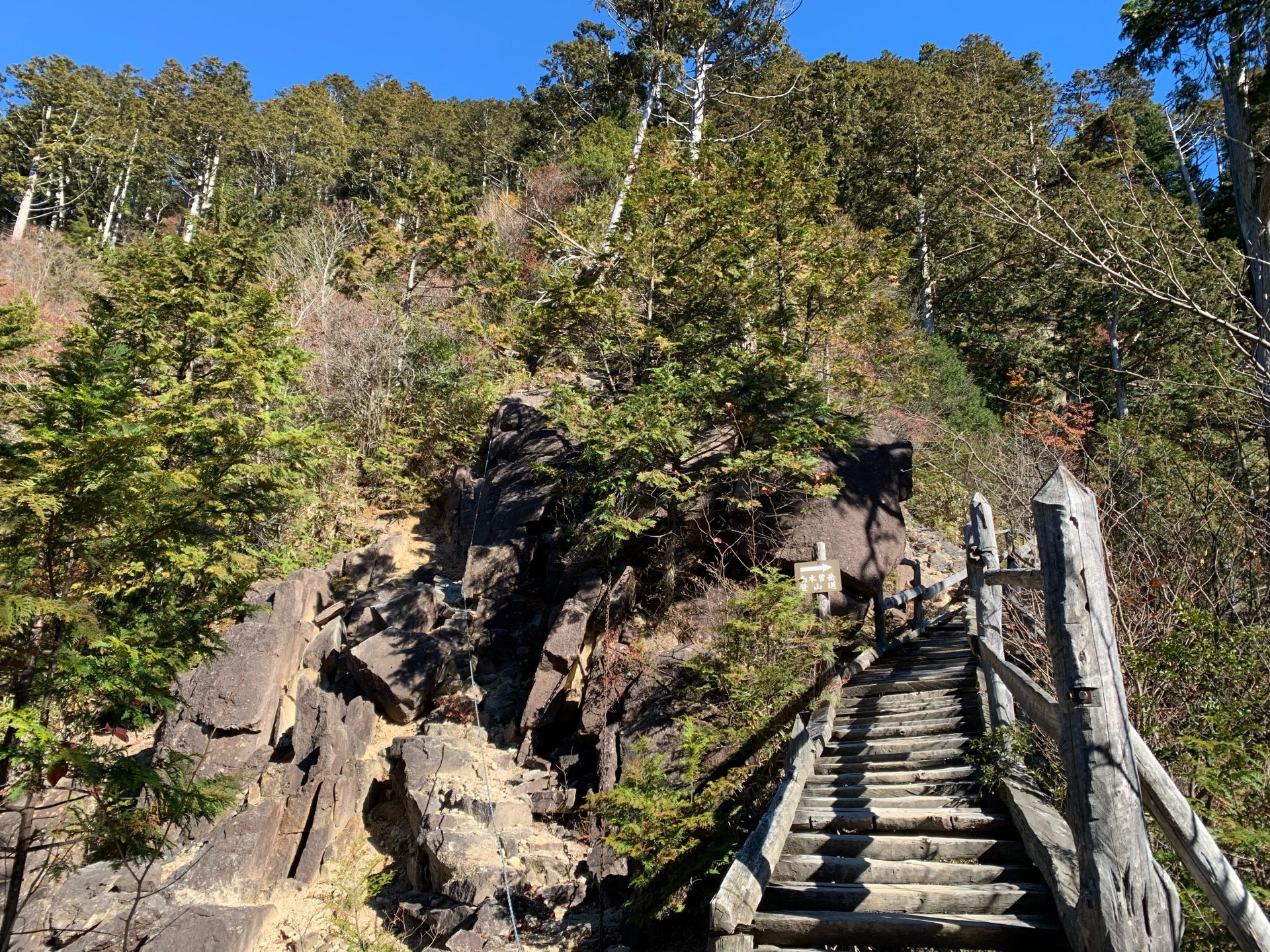
It is a steep trail used by Shugenja, but now there are detour routes and ladders to the difficult Chain section, and even beginners should be able to reach the summit with a little effort.
(Uenohara Route)
This is a quiet route through the forest zone, and there are not many steep sections. However, because not many people pass by, the trail is covered with bamboo thickets in some places, and there is a danger of losing the trail. If you lose the trail, return to the place where you knew it.
Access to Araragi route trailhead
●Climbing data
Schedule: day trip
Walking time: Maximum 7 hours 50 minutes (climbing: 4 hours 30 minutes from Ogoe bus stop to the summit shelter, 2 hours 50 minutes from the Ran trailhead parking lot to the summit shelter, descending from the summit shelter via Uehara trailhead to Nagiso Station: 3 hours 20 minutes )
Walking distance: 12.7 km
Ascent cumulative elevation gain:Climbing1,141m Downhill 1,410 m
Route Guide
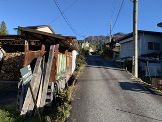
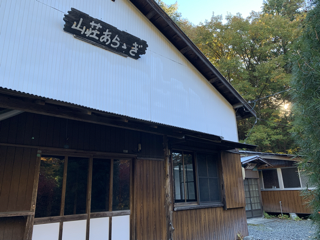
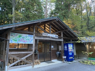
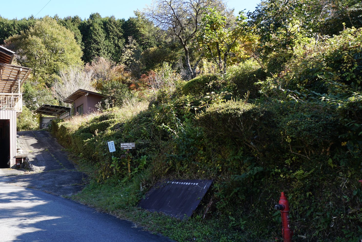
From the bus stop in Ogose, exit to the national highway and follow the gently paved road. After 50-60 minutes on the forest road, you will see the Araragi Campground on your right. The campground has a long history and is very crowded on weekends, and more and more people are staying in tents even during the cold season. After that, if you continue on the forest road with the Araragi hut on your right, you will arrive at the climber's parking lot where the refuge hut is located in about 30-40 minutes. Cars can enter this parking lot.
There is also a restroom, but the person who has not yet provideed a mountain climbing report is requested to fill it out here, and from here, iit becomes the mountain climbing of Mt. Nagiso-dake.
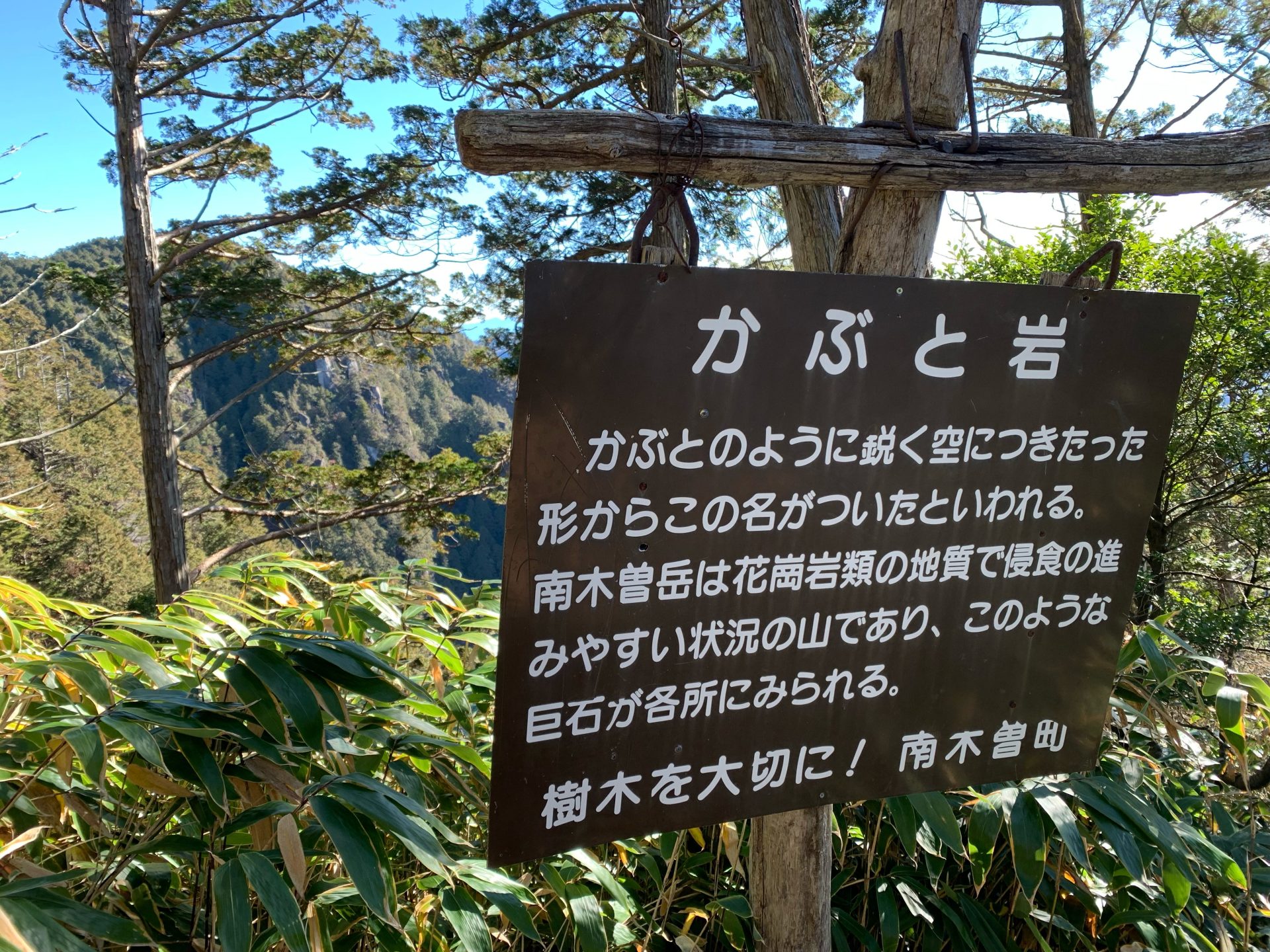
If you advance a little in the woods, you will cross a path through the woods and reach the Araragi trailhead. After another 30 minutes, you will reach the junction of the trailhead. The route time is 50 minutes, but you may be able to get there a little faster. Follow the trail to the left, and after crossing the “Throat Waterfall”, a steep climb begins. There is a wooden ladder, so you do not need to worry too much. After passing through a forest of Koya-maki (Japanese cedar), you will arrive at the rocky area at the heart of the climb up Mt. Nagiso-dake. You can climb up from the rocky area, but there is a detour route with a wooden ladder on the right. A steep ladder and stairs will lead you to a place where you can see Kabuto-iwa and Marishiten rock in about 30 minutes. A little further on, you will reach the summit.
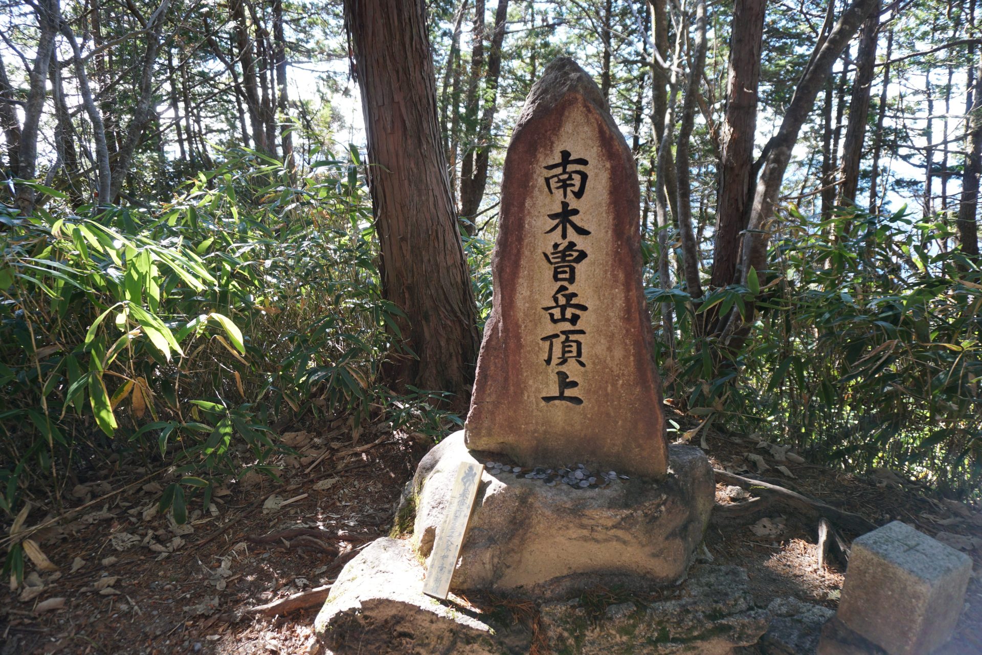
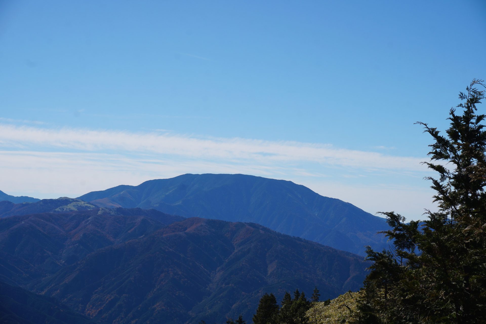
The summit is surrounded by forest and there is no view at all, but there is no need to worry. 50m further on, the first lookout on the left: the West Terrace, and less than 20 minutes' walk away is a shelter, and above it, a lookout with a wide open view to the north and west. The view of Ontake mountains is spectacular, but the best part is that you can see almost all of the Central Alps mountain range from here.
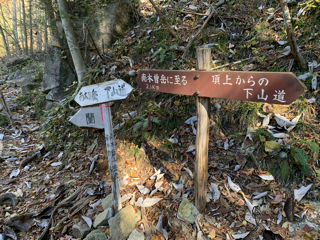
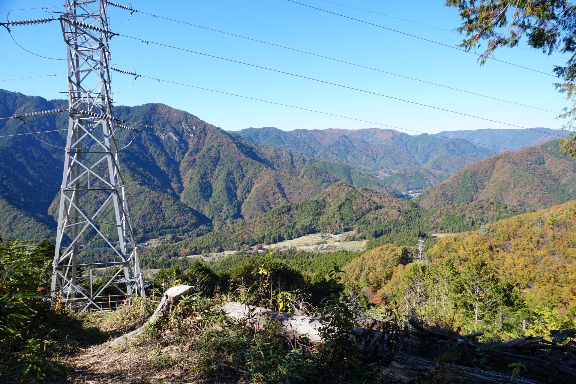
From here, the descent turns off the main route and heads down toward Uenohara/Midono, a post town on the Nakasendo Highway, where JR Nagiiso Station is located. There is a junction right next to the shelter with a sign that says 3 hours and 10 minutes to Uenohara. This route seems to be a little long and not many people come and go, and as soon as we proceed down the junction, the trail appears to be a bit narrow with bamboo thickets that do not allow us to see our footsteps well. Even so, the route through the coniferous forest zone called "Kiso famous 5 trees" is a calm trail that slowly makes its way through the forest without a soul in sight. However, there are not many landmarks and signs, and sometimes the route is not clearly visible, so be sure not to miss the pink tape attached to the trees.
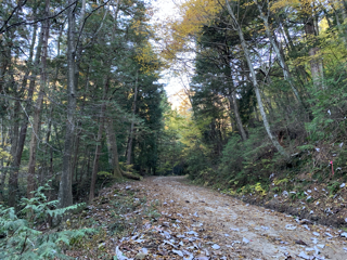
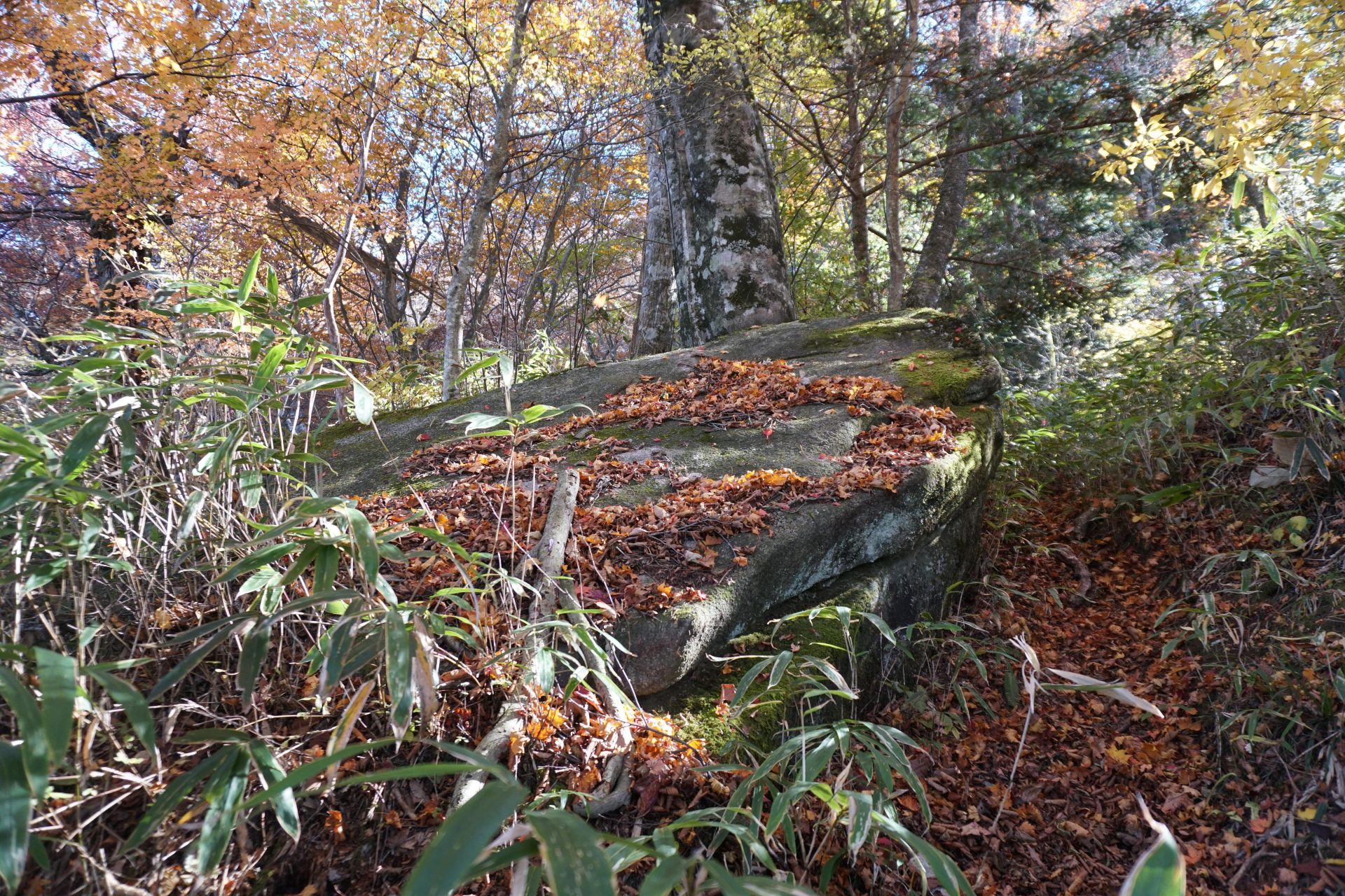
There are many broadleaf trees such as kunugi and beech, and the trail is covered with fallen leaves in autumn, making it slippery. There are few steep descents, but be careful of slipping and sliding. 1 hour and 10-20 minutes down the trail, you will come to a double-piled rock under a large sawtooth oak, which is the only landmark you will see. Continue patiently down the ridge to a point where the trail turns to the left. The sign is broken, but it tells you that you have 80 minutes to get to Uenohara.
